Bolivia
I have visited Bolivia several times. The most recent was part of our honeymoon.
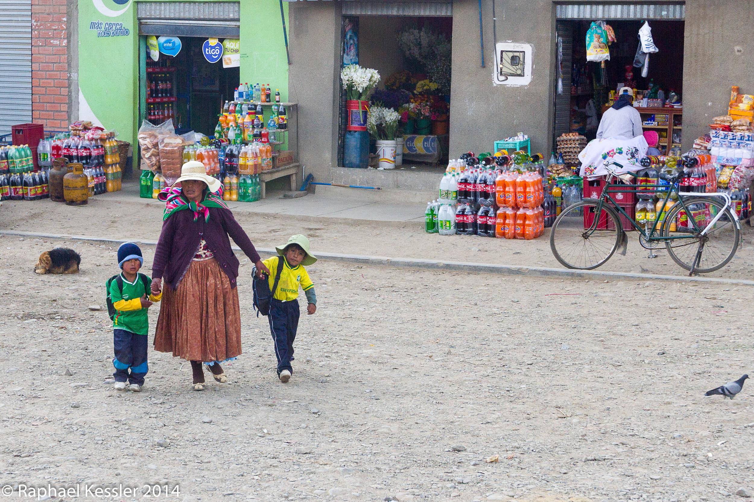
After spending some time in Argentina, we crossed from the far north of Argentina over to Bolivia and immediately headed to the small town of Tupiza. It was ten years since I had previously been there and things had changed in Bolivia.
.
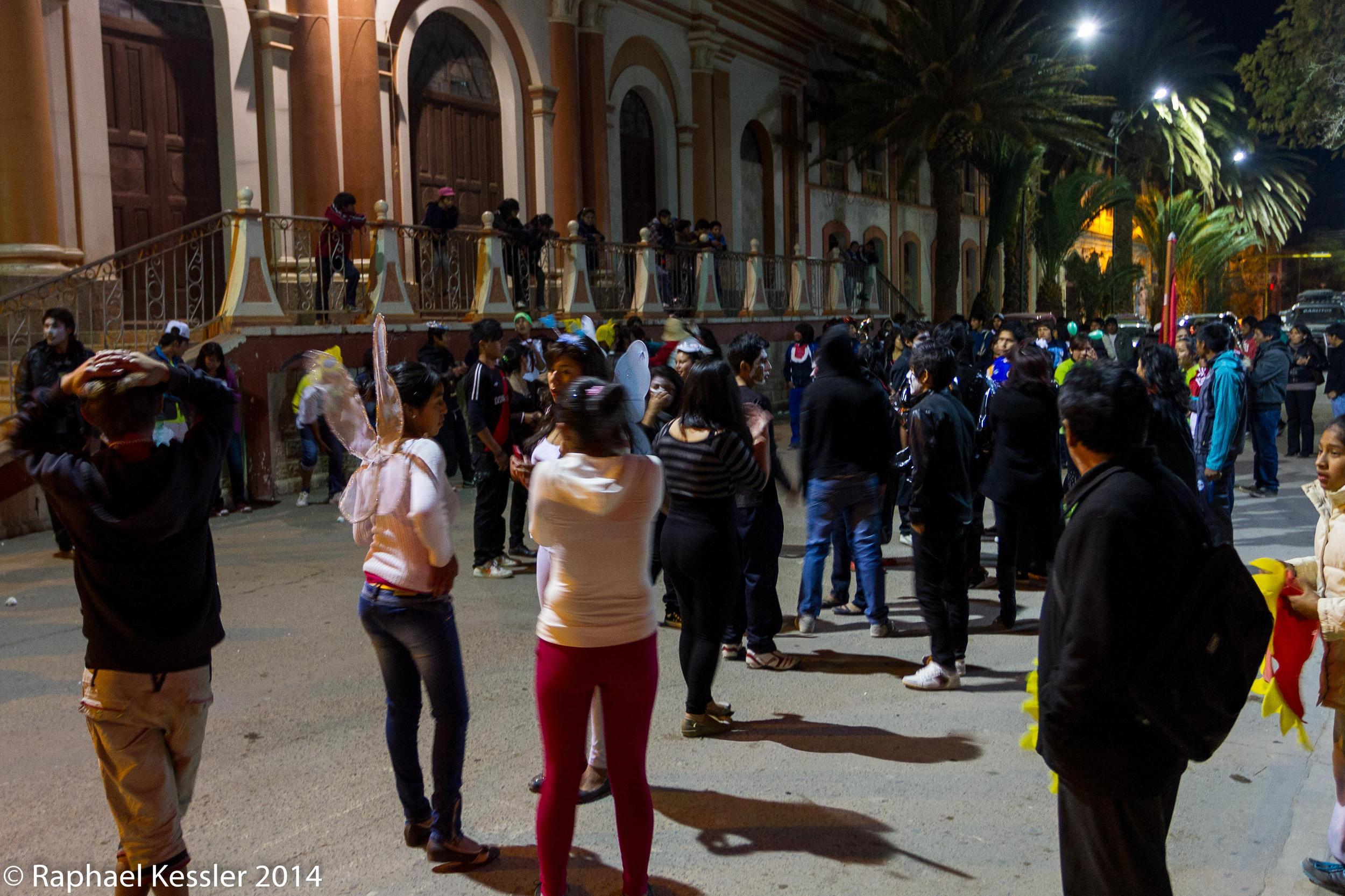
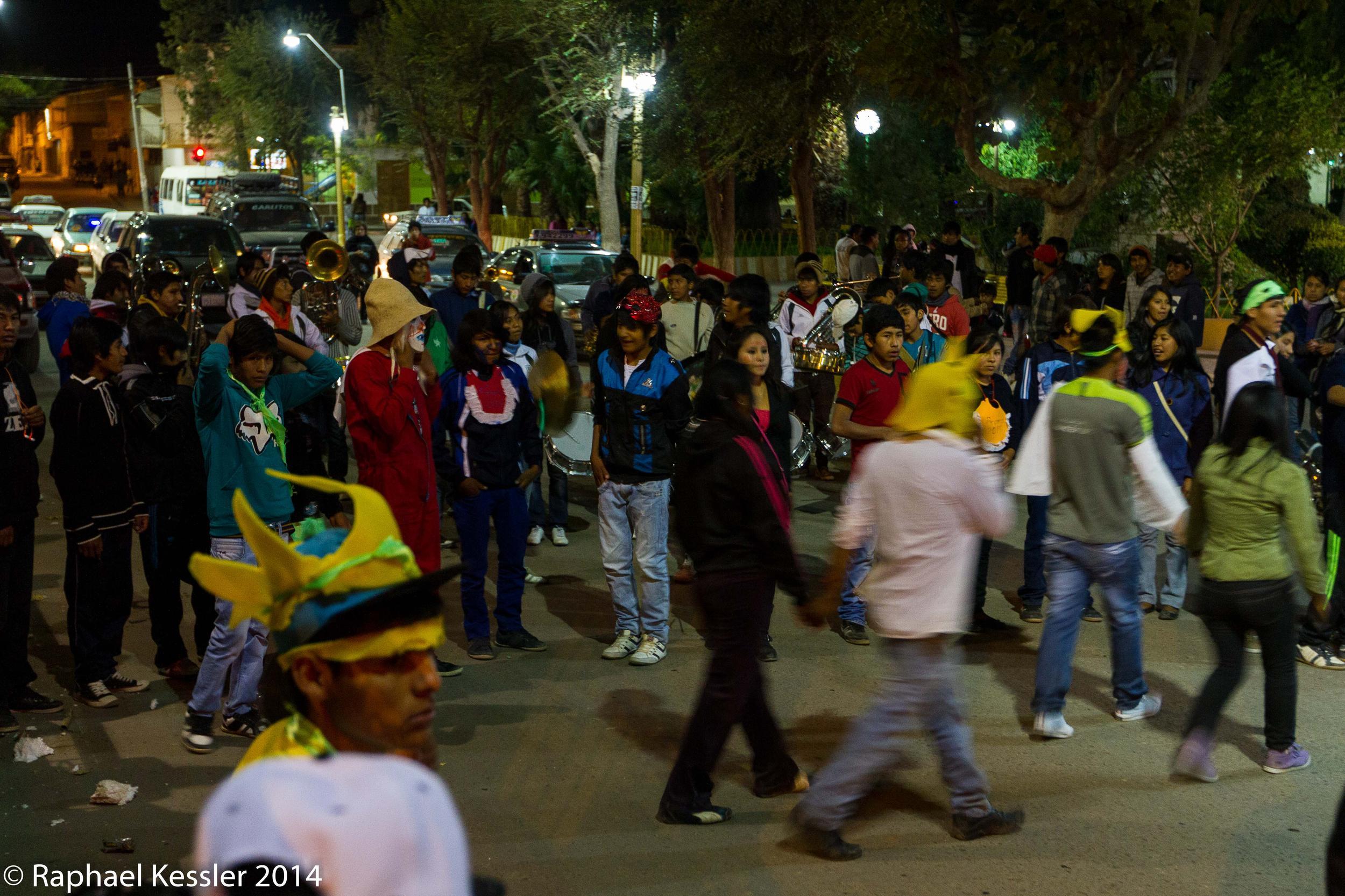
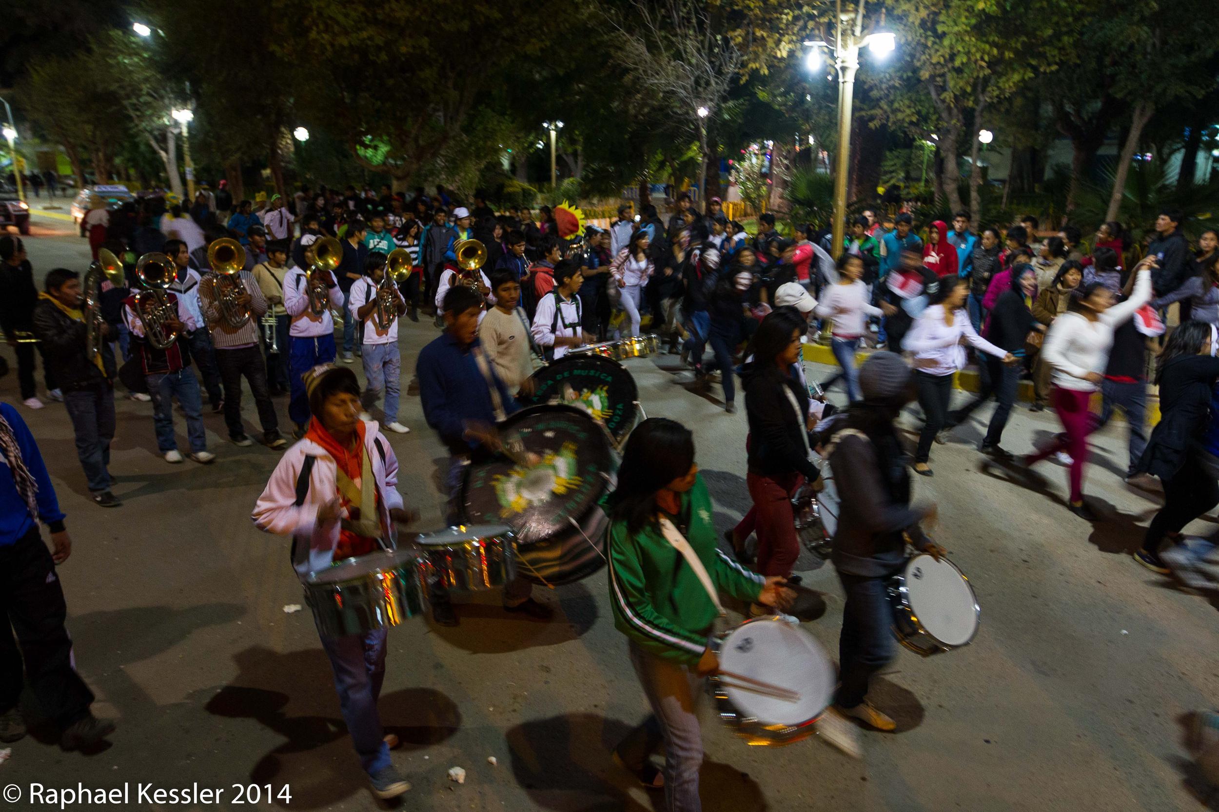
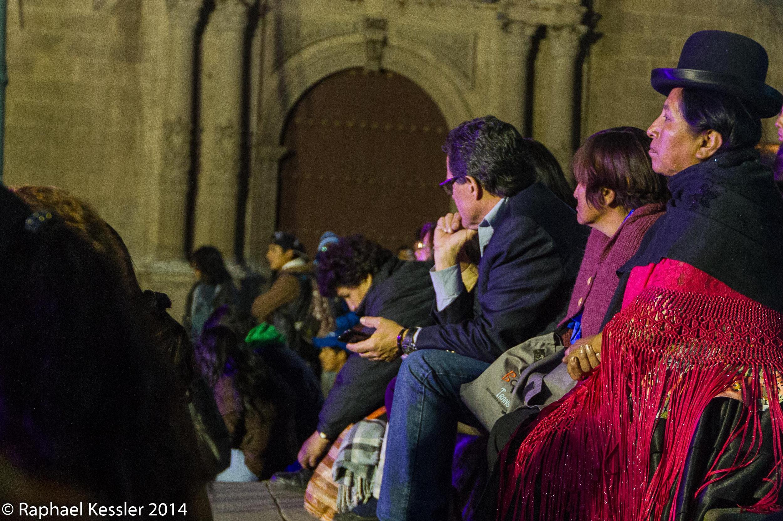
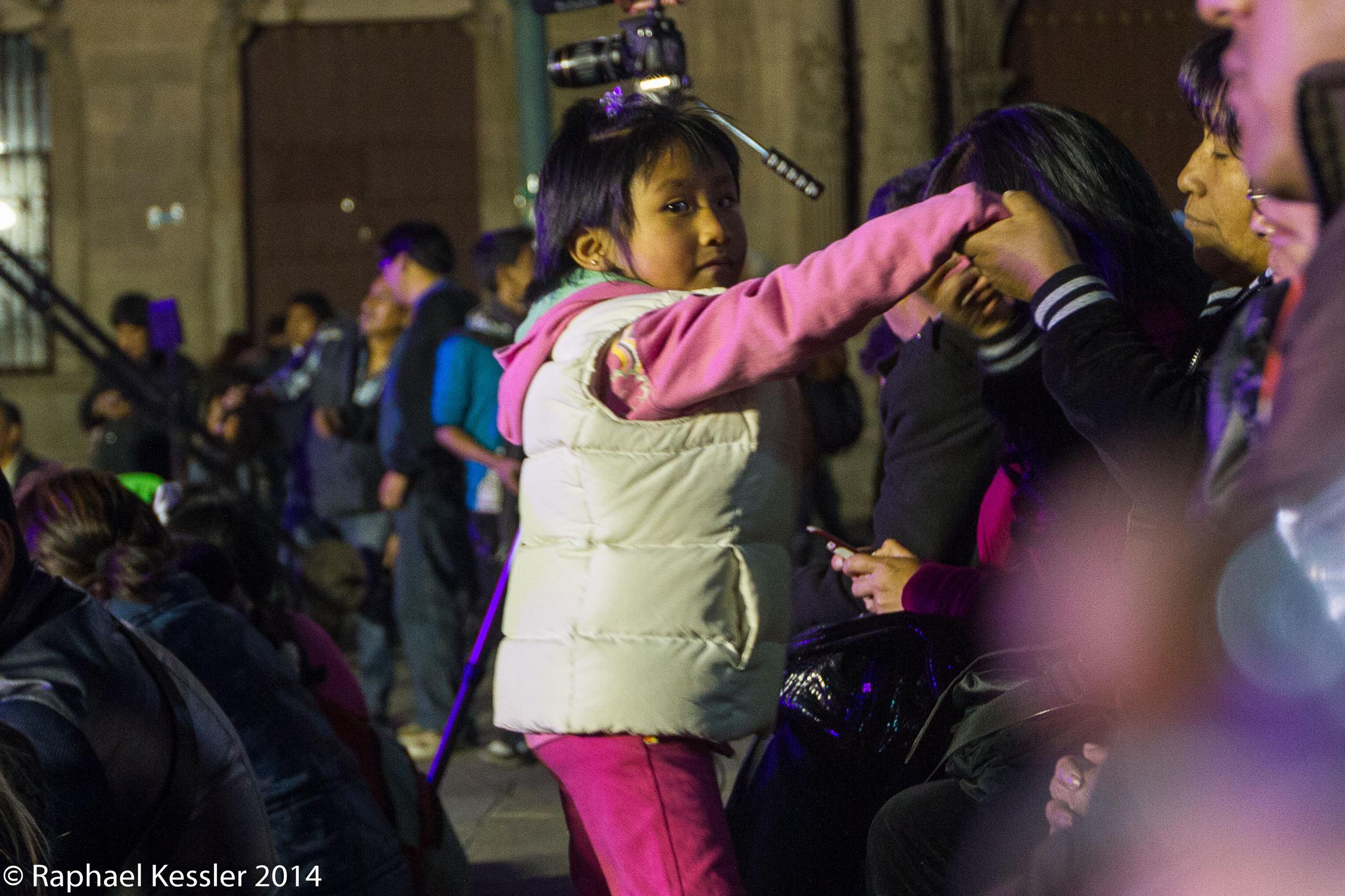
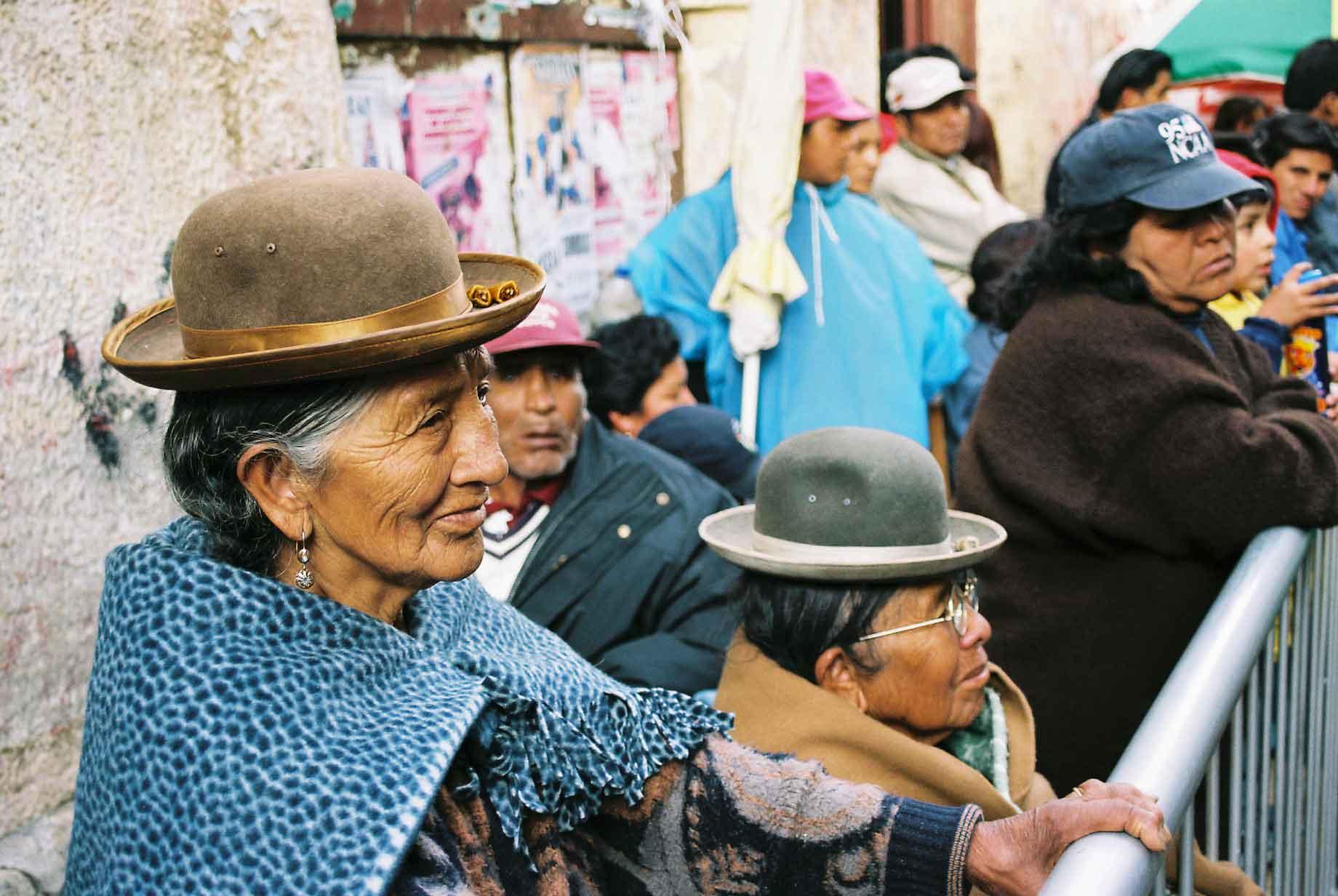
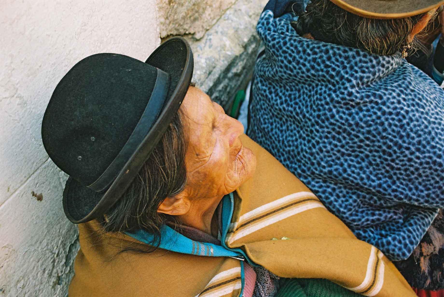
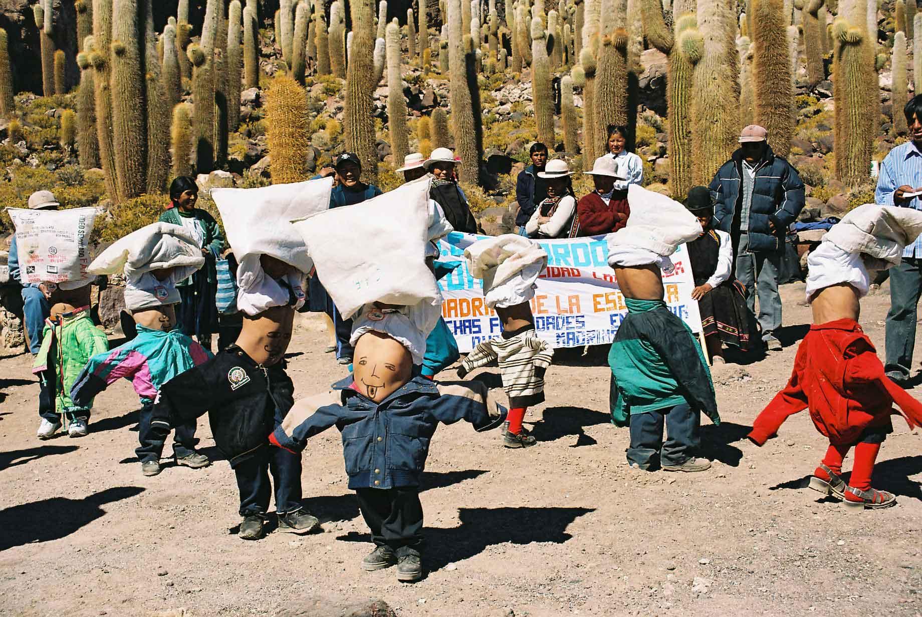
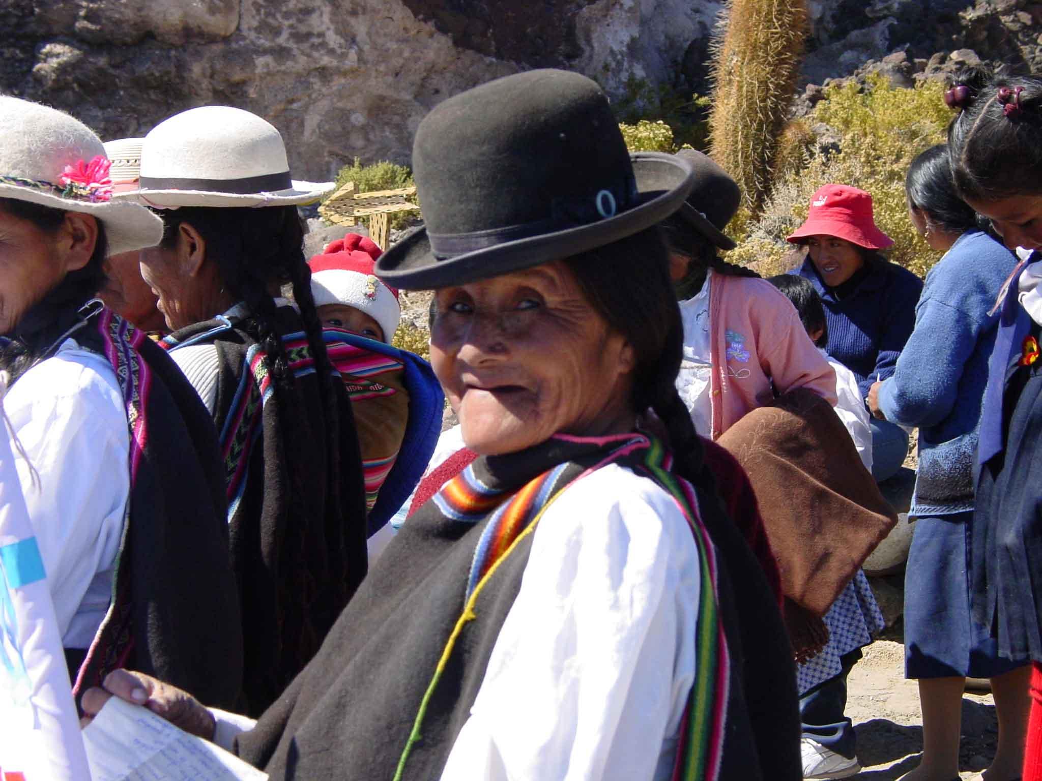
Whilst we were there, we saw some festivities to celebrate Workers Day.
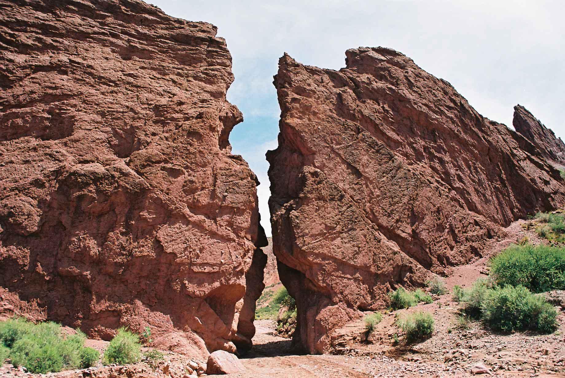
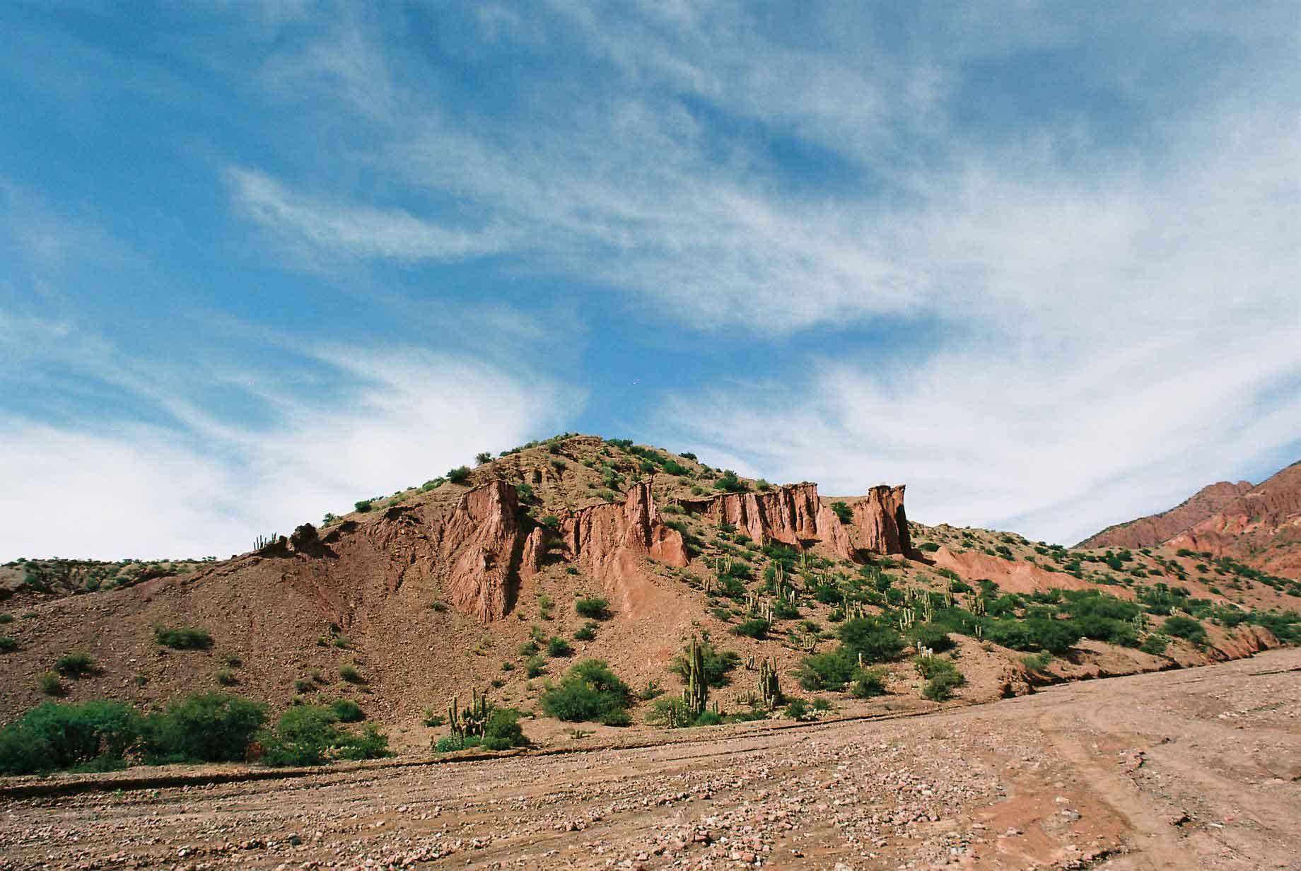
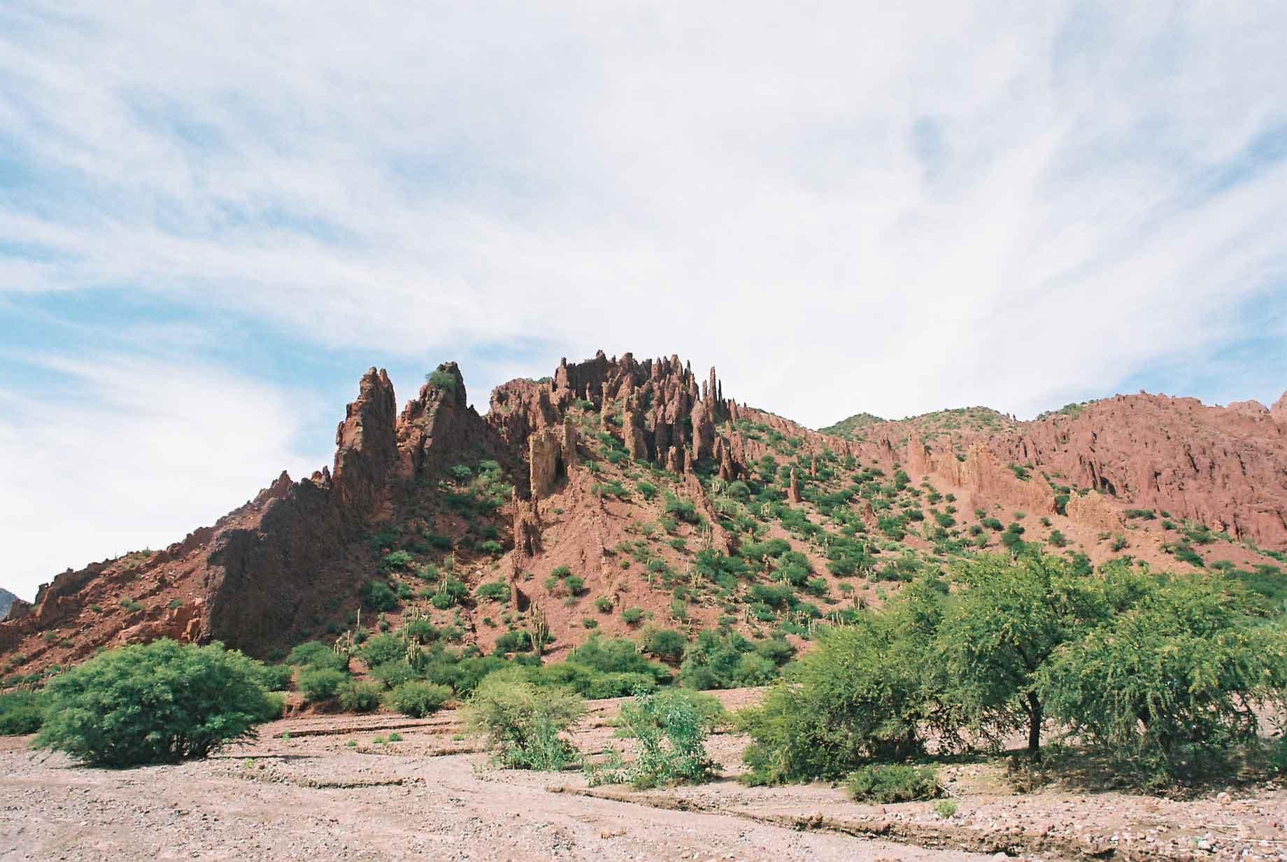
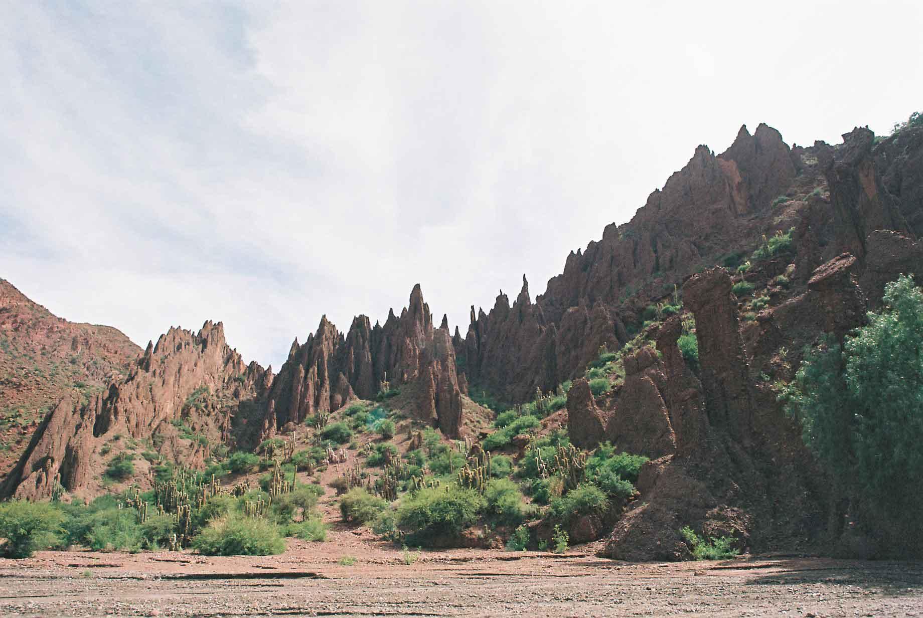
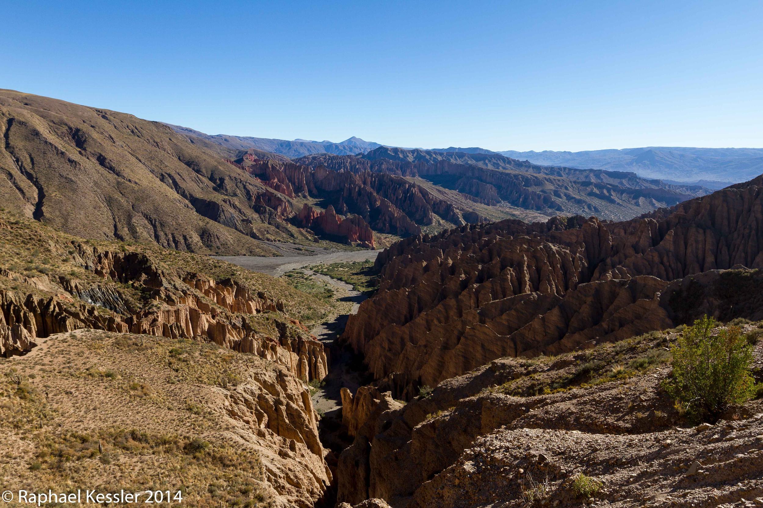
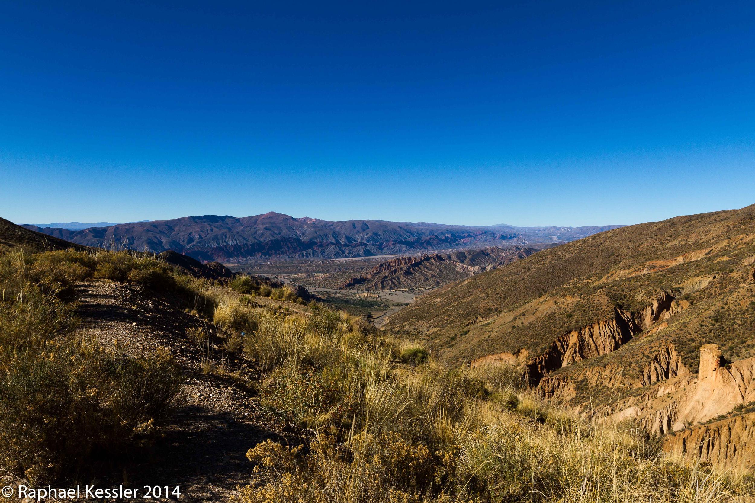
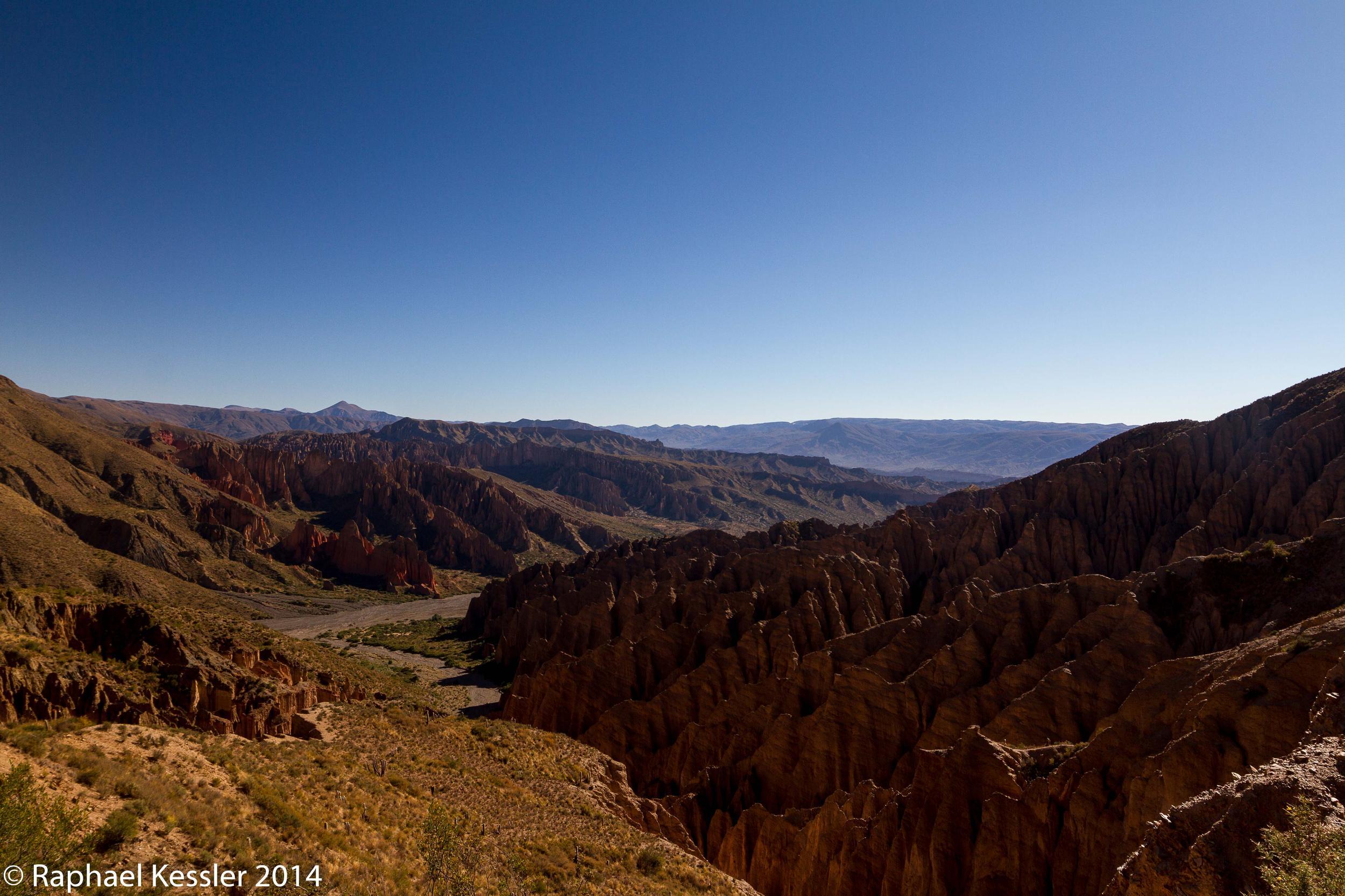
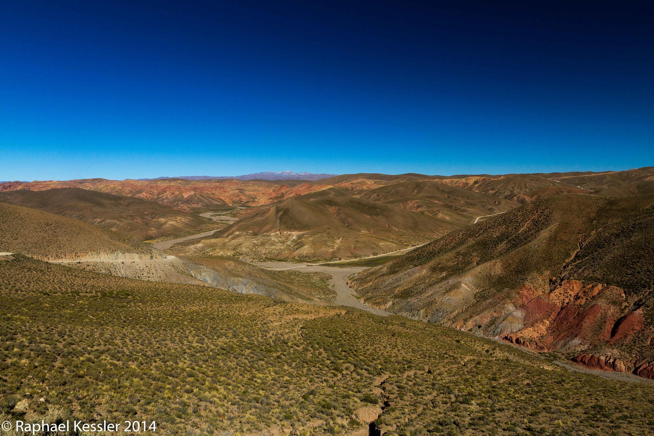
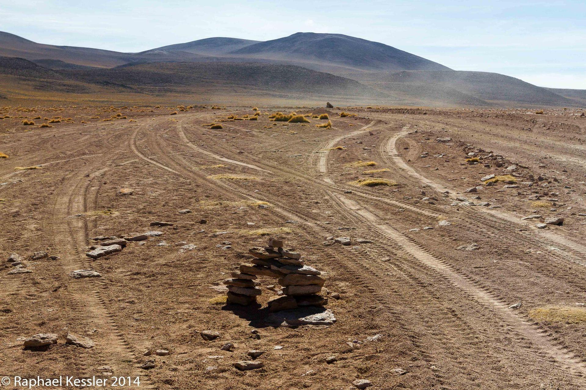
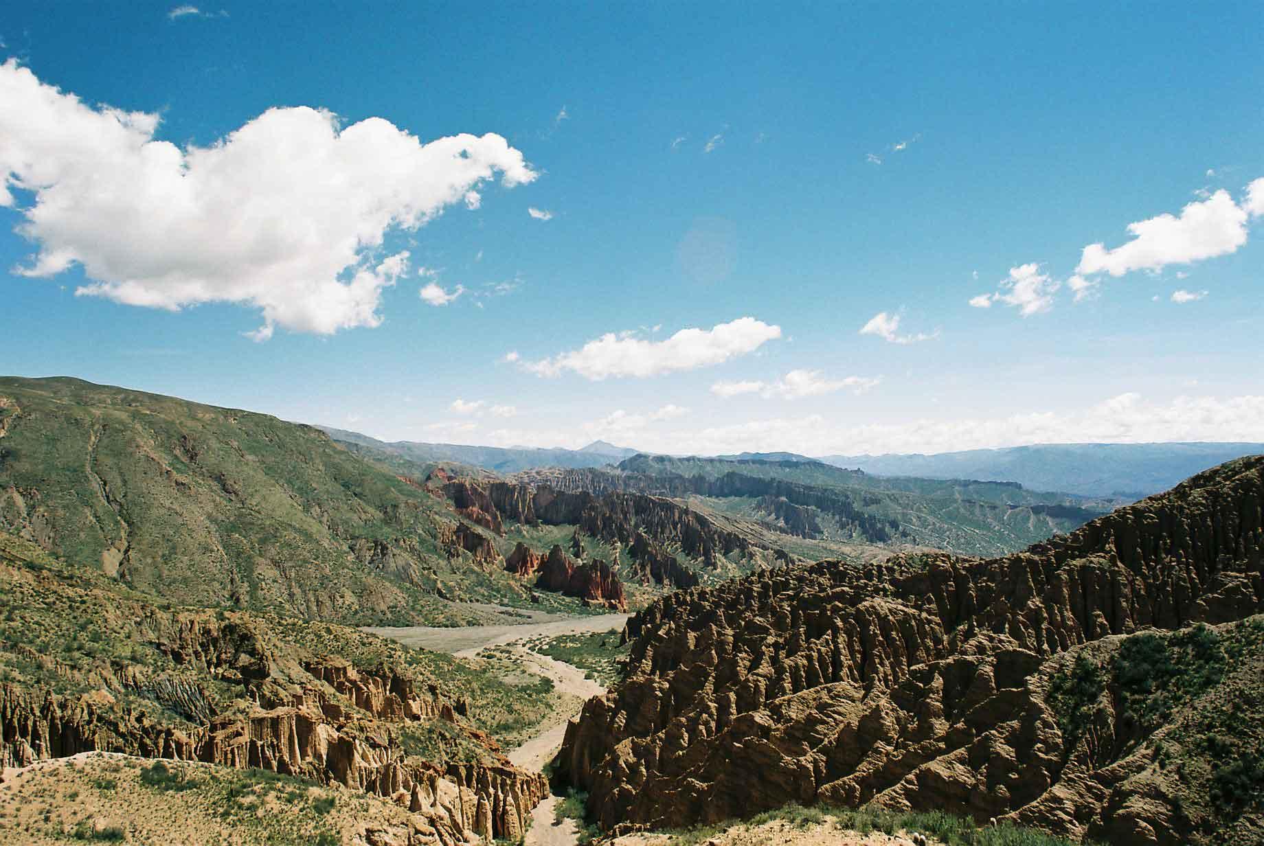
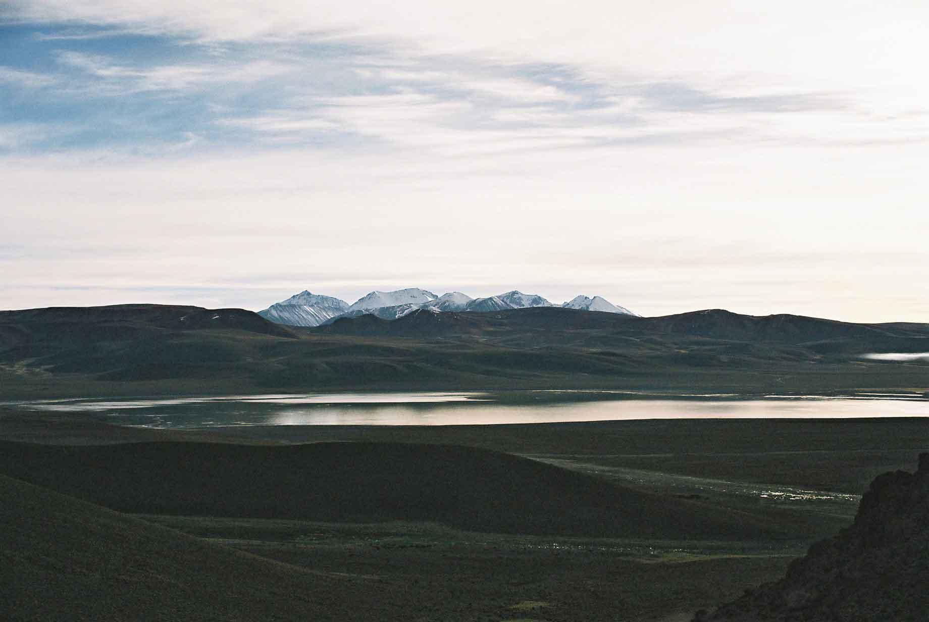
We took a four day tour of the surrounding scenery, which abounds with lakes, mountains and impressive vistas
Day 1
Day 2

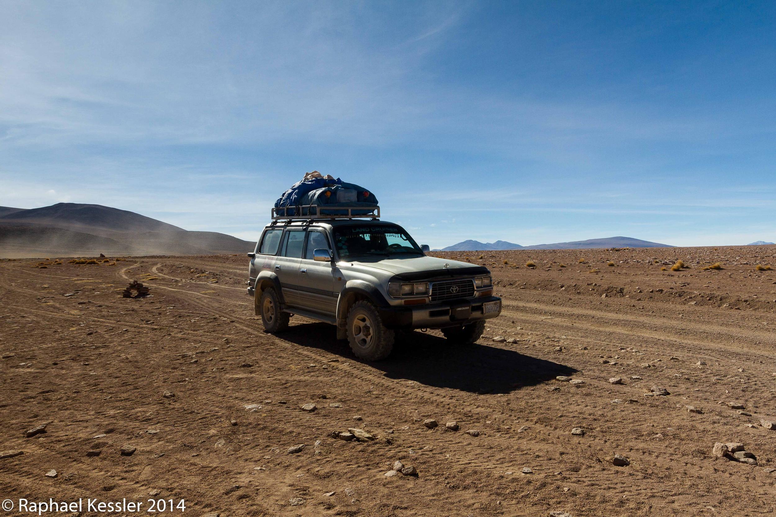
Day 3

Day 4
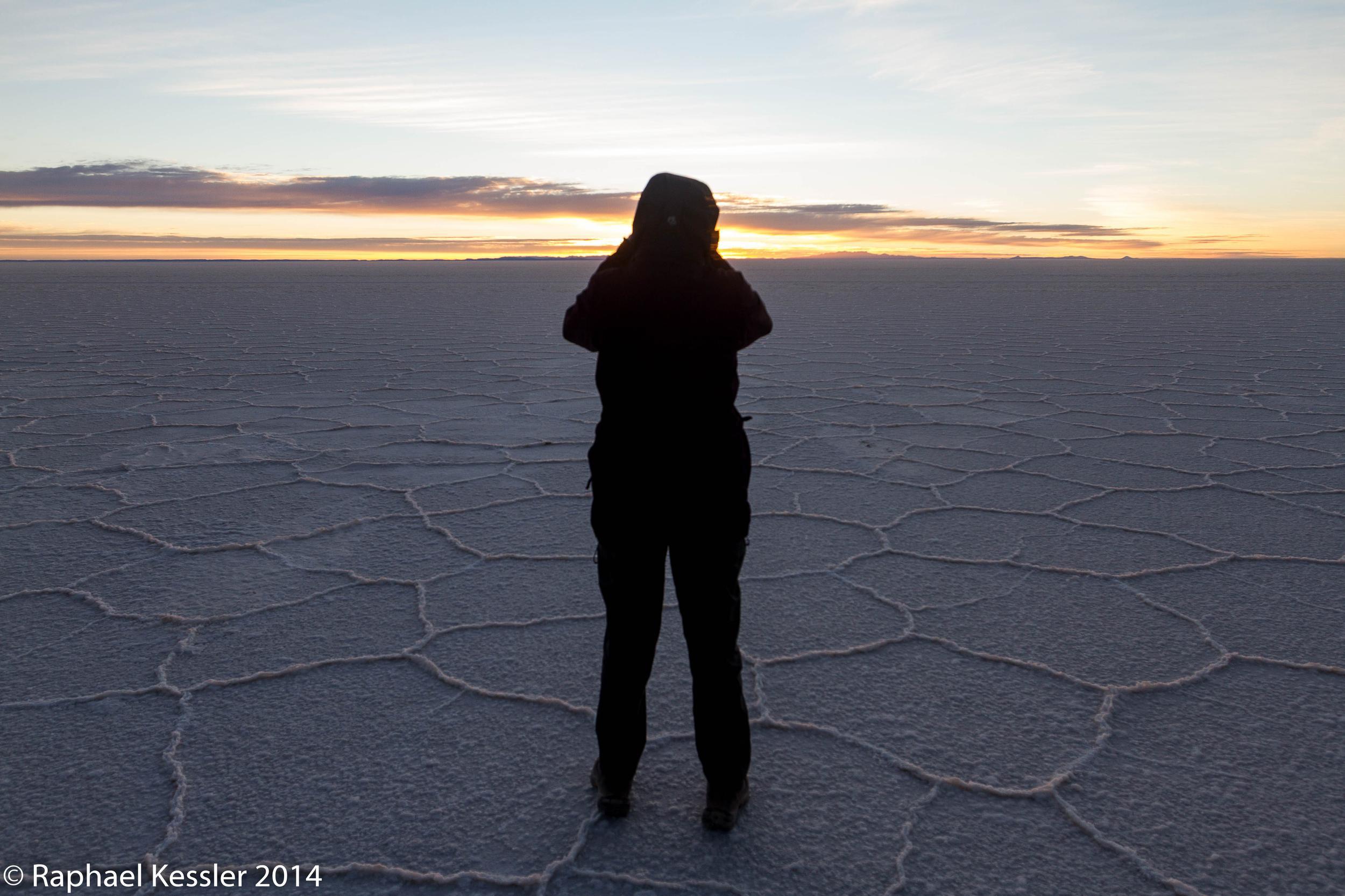
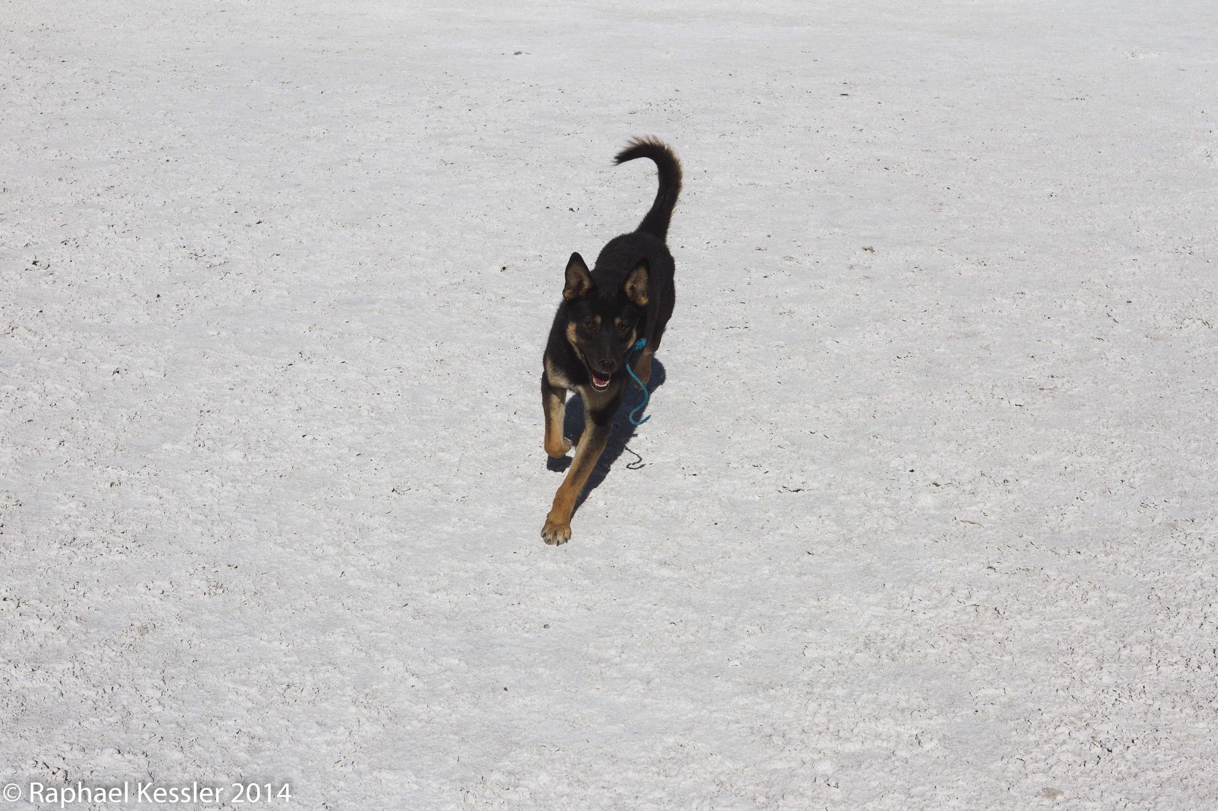
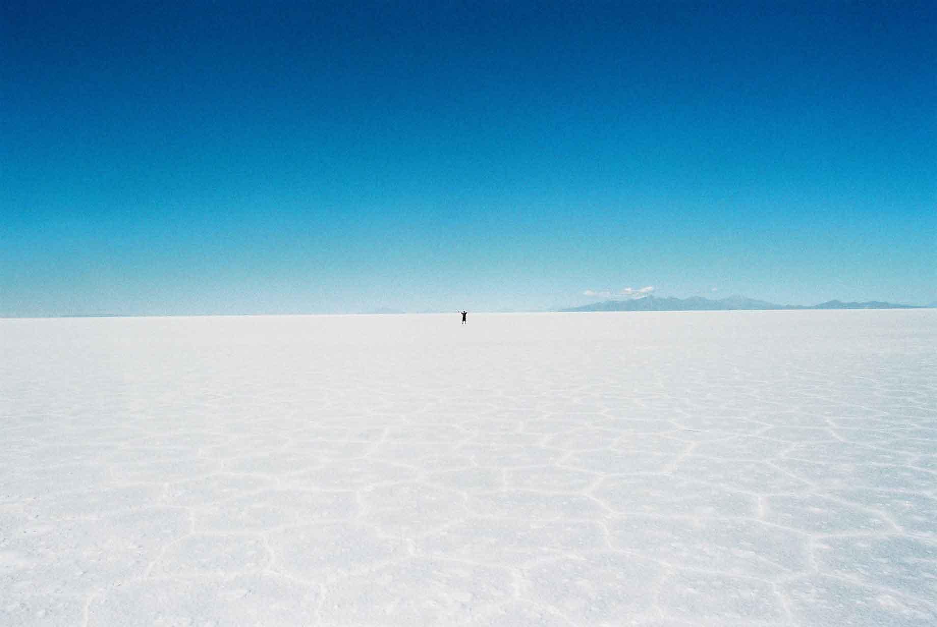
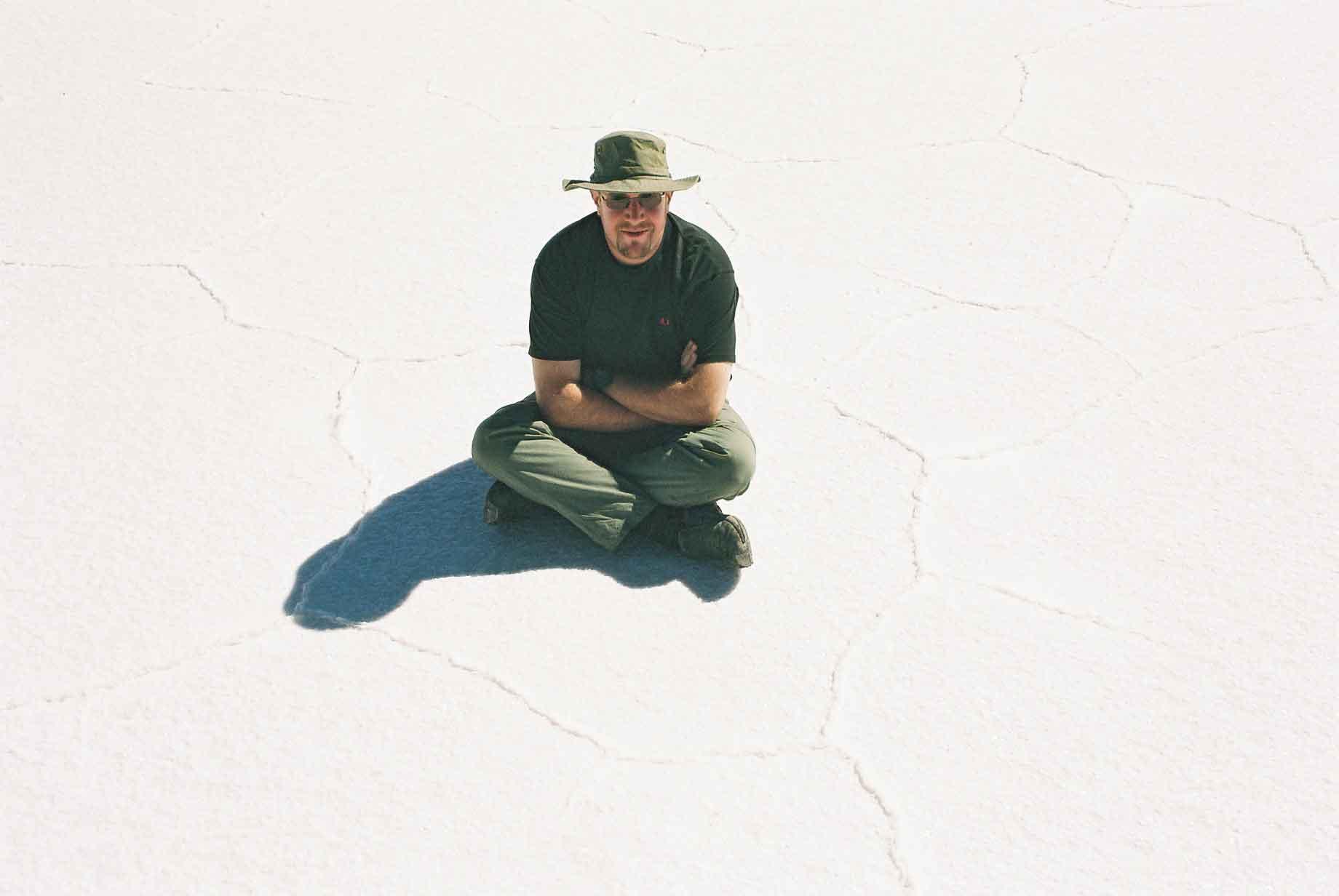
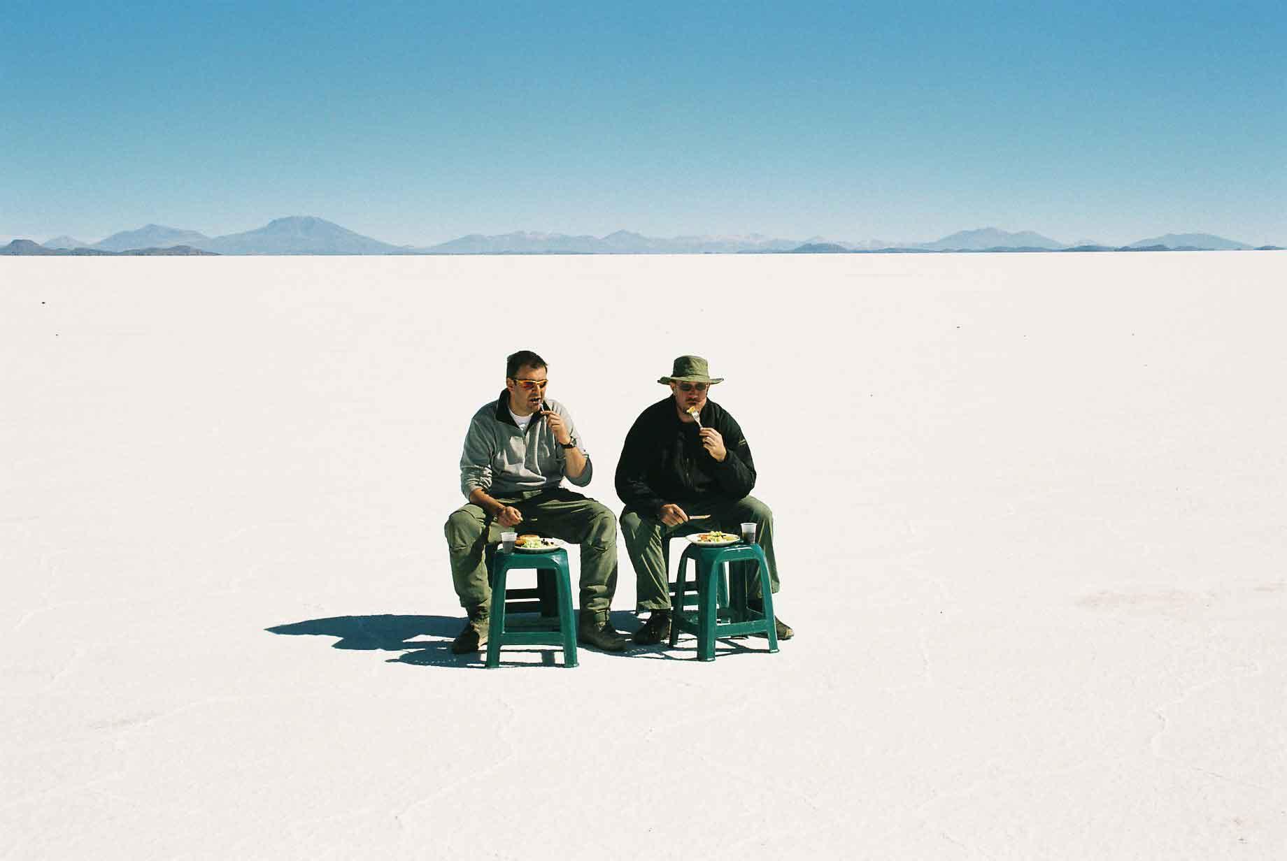
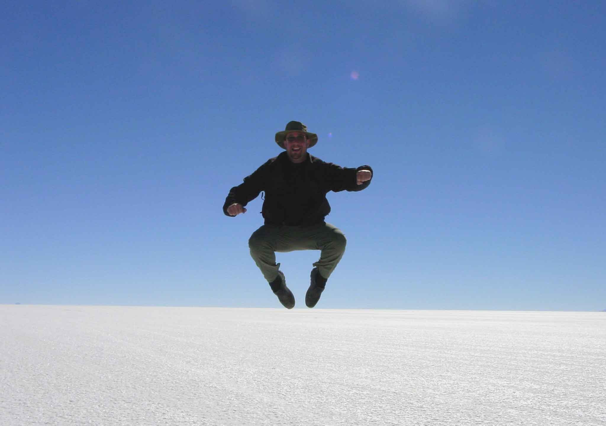
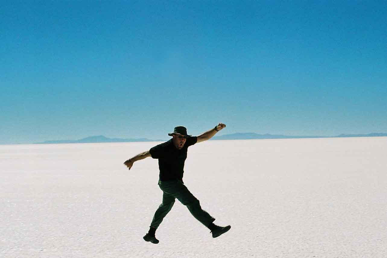
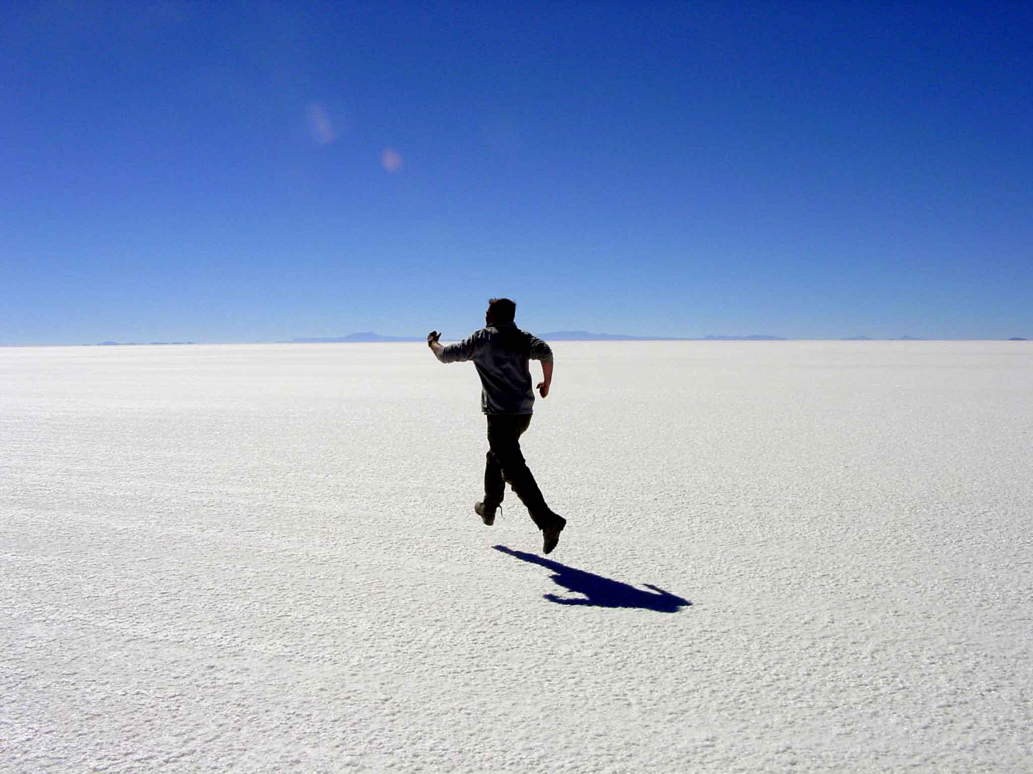
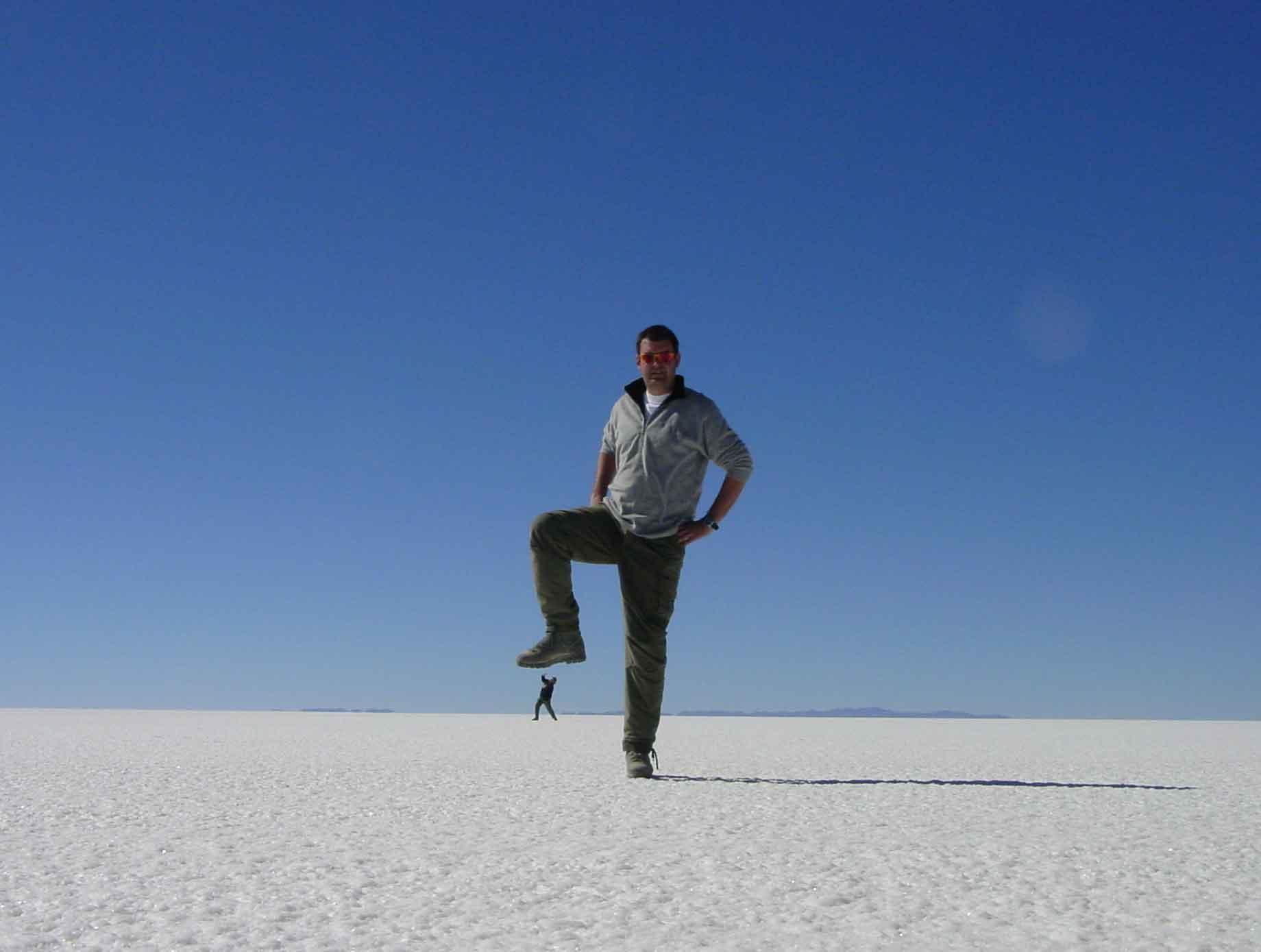
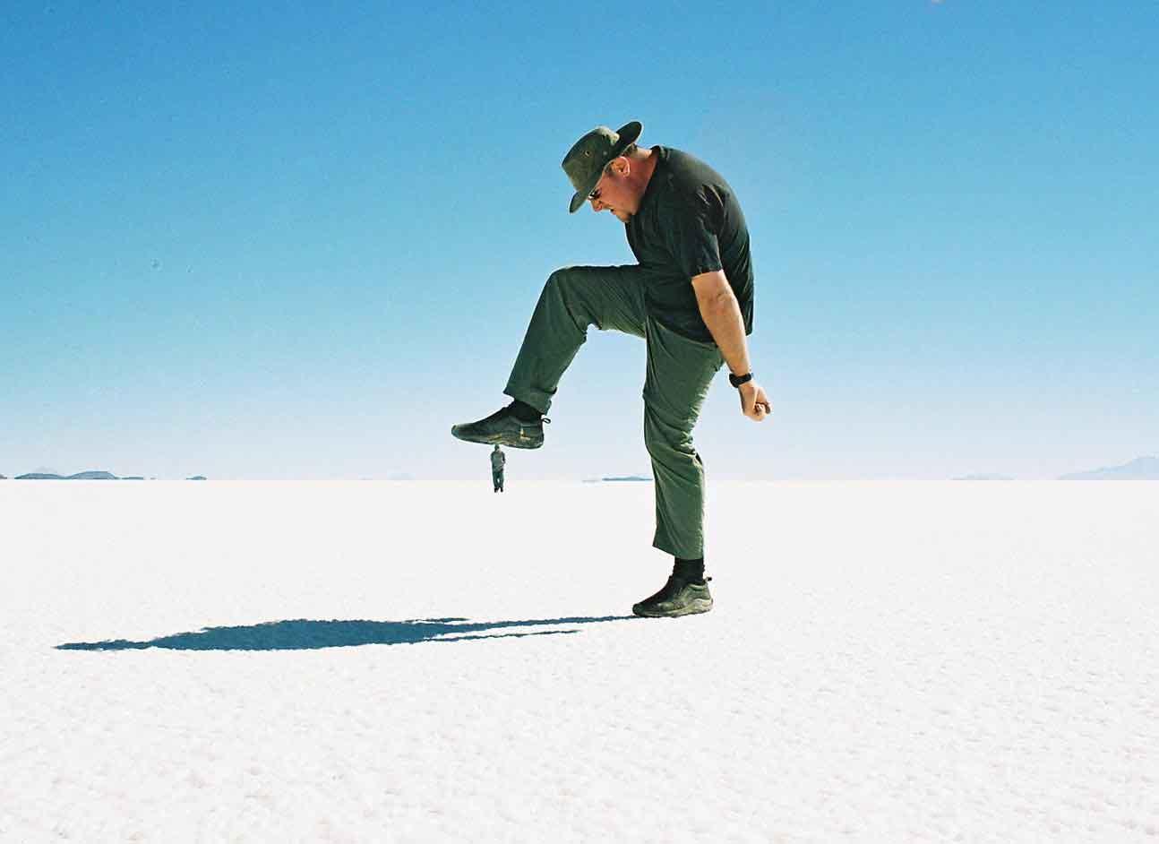
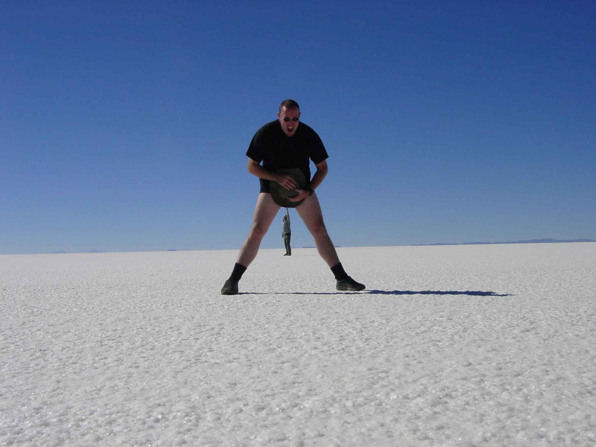
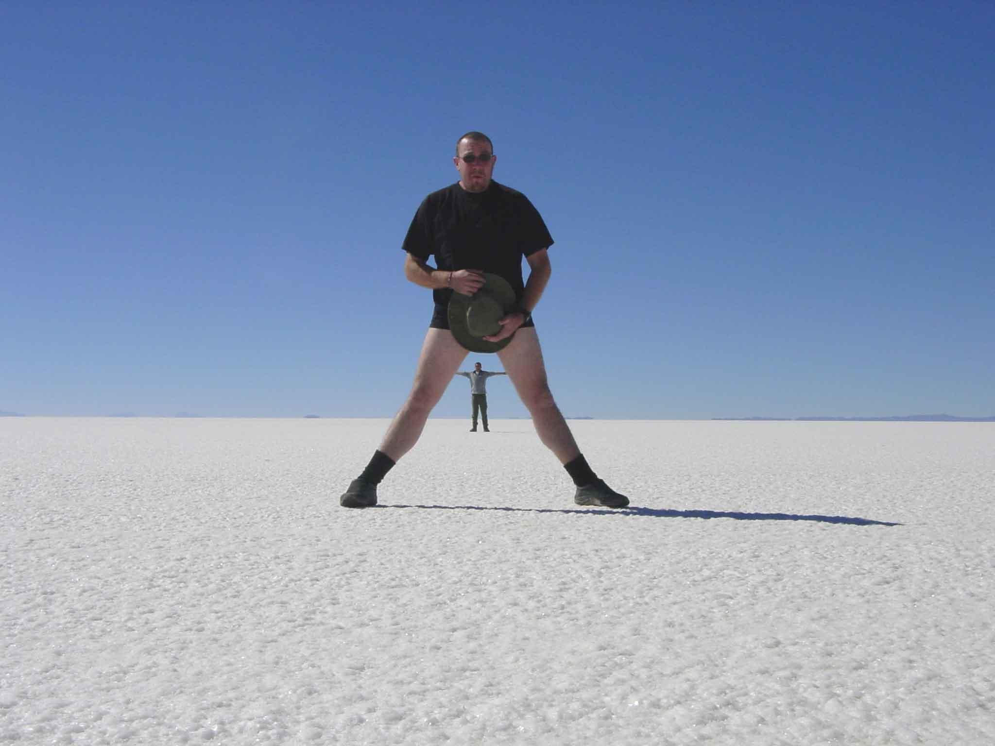
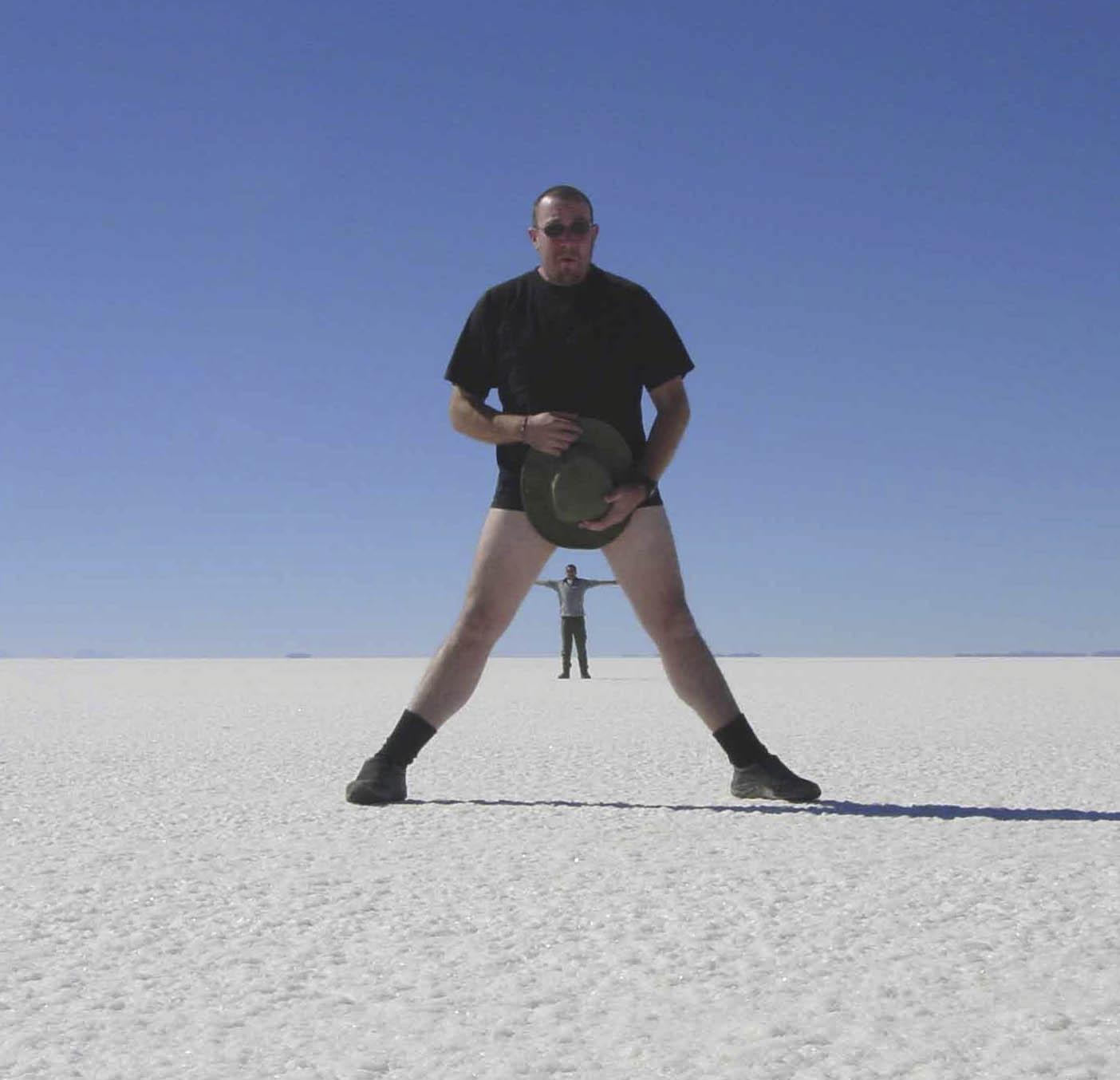
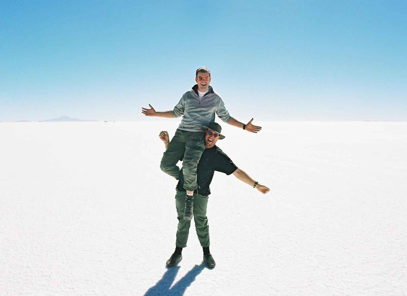
On the salt flats, the perspective allows one to take fun photos. Some of these were more successful than others. Regardless, we had fun taking them.
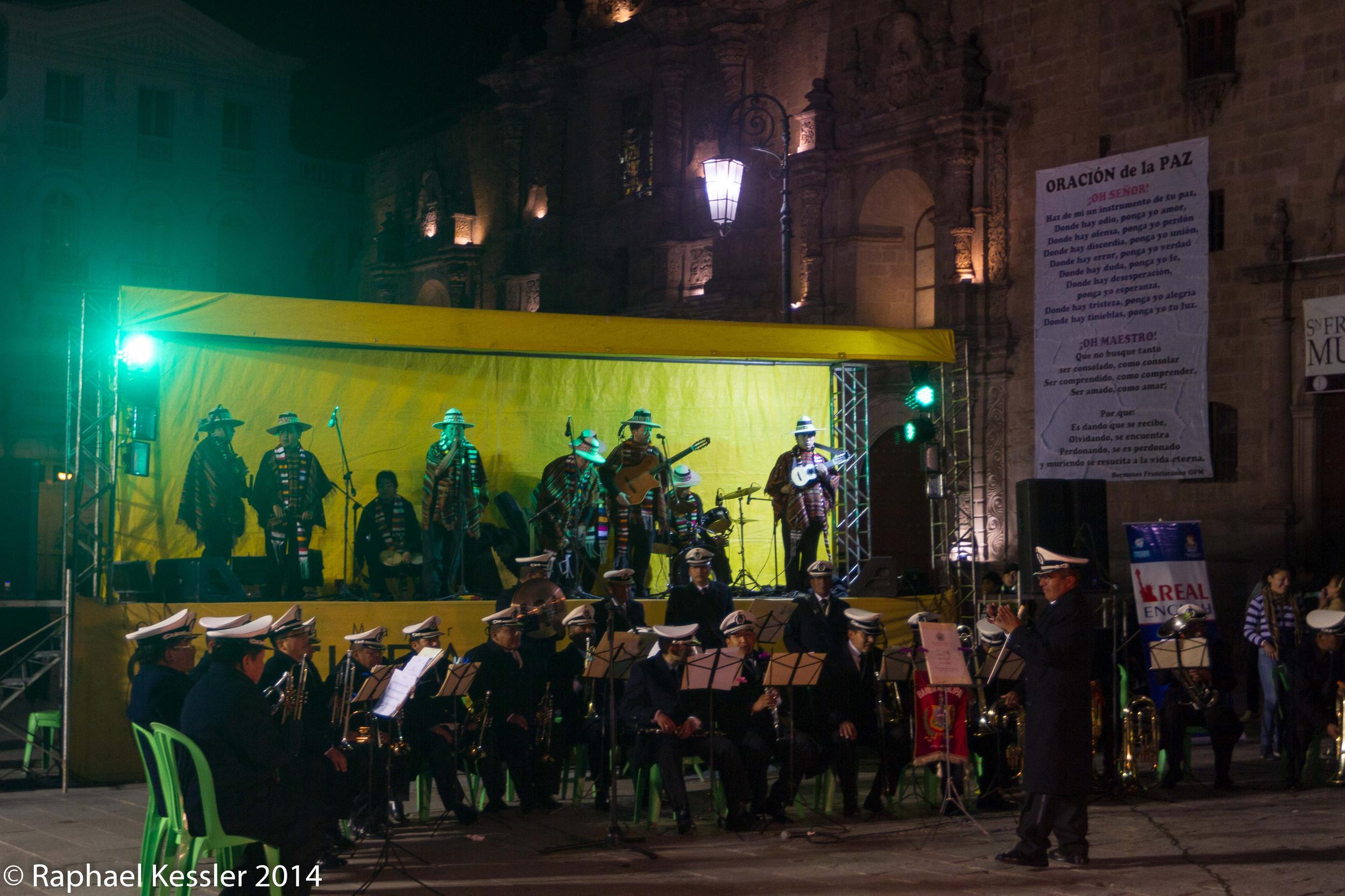
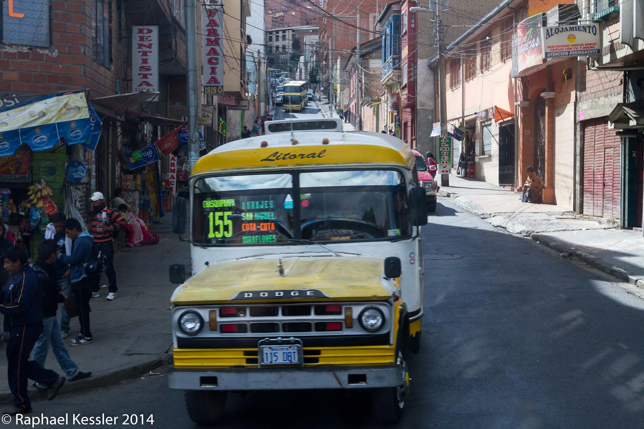
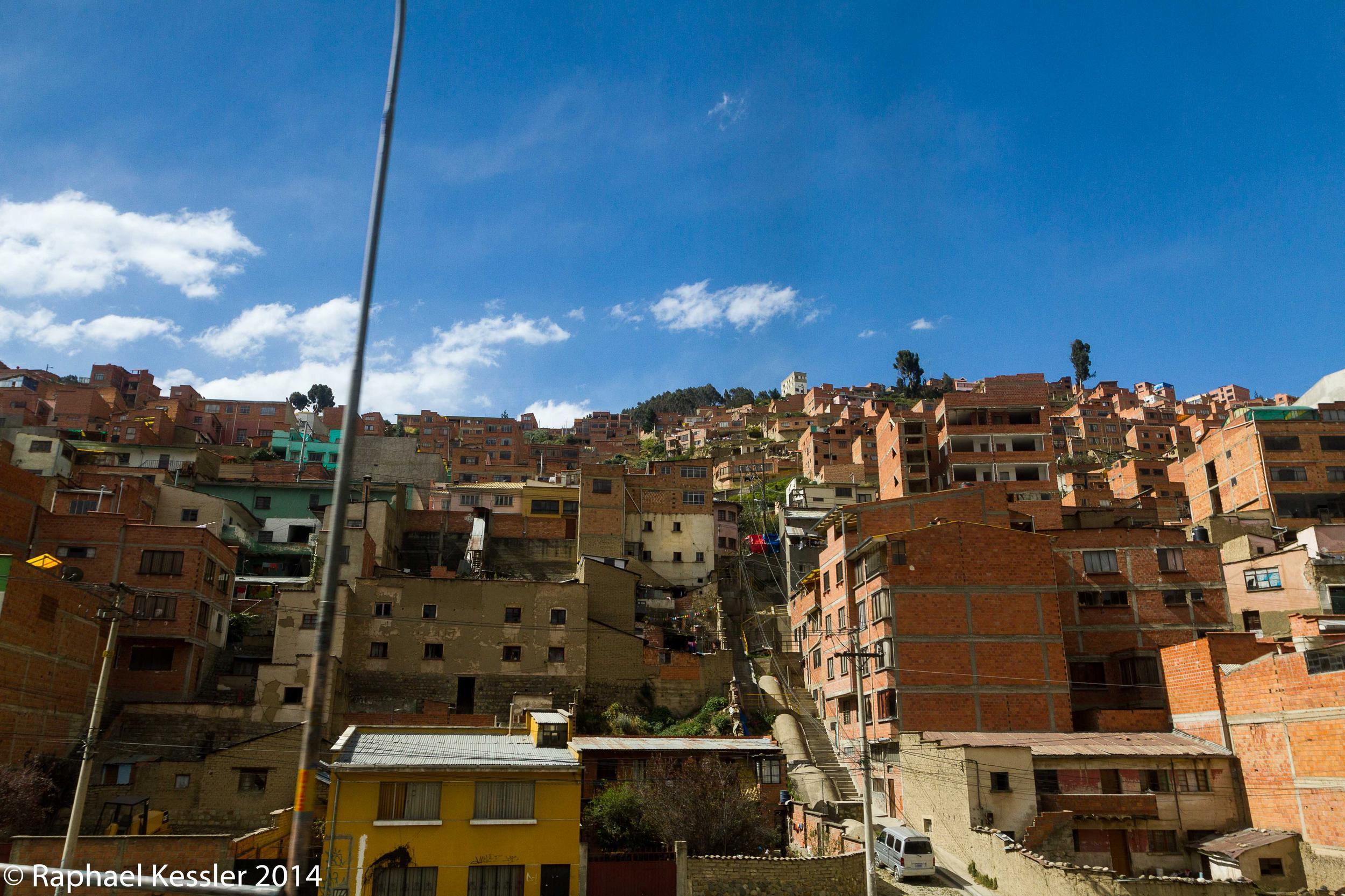
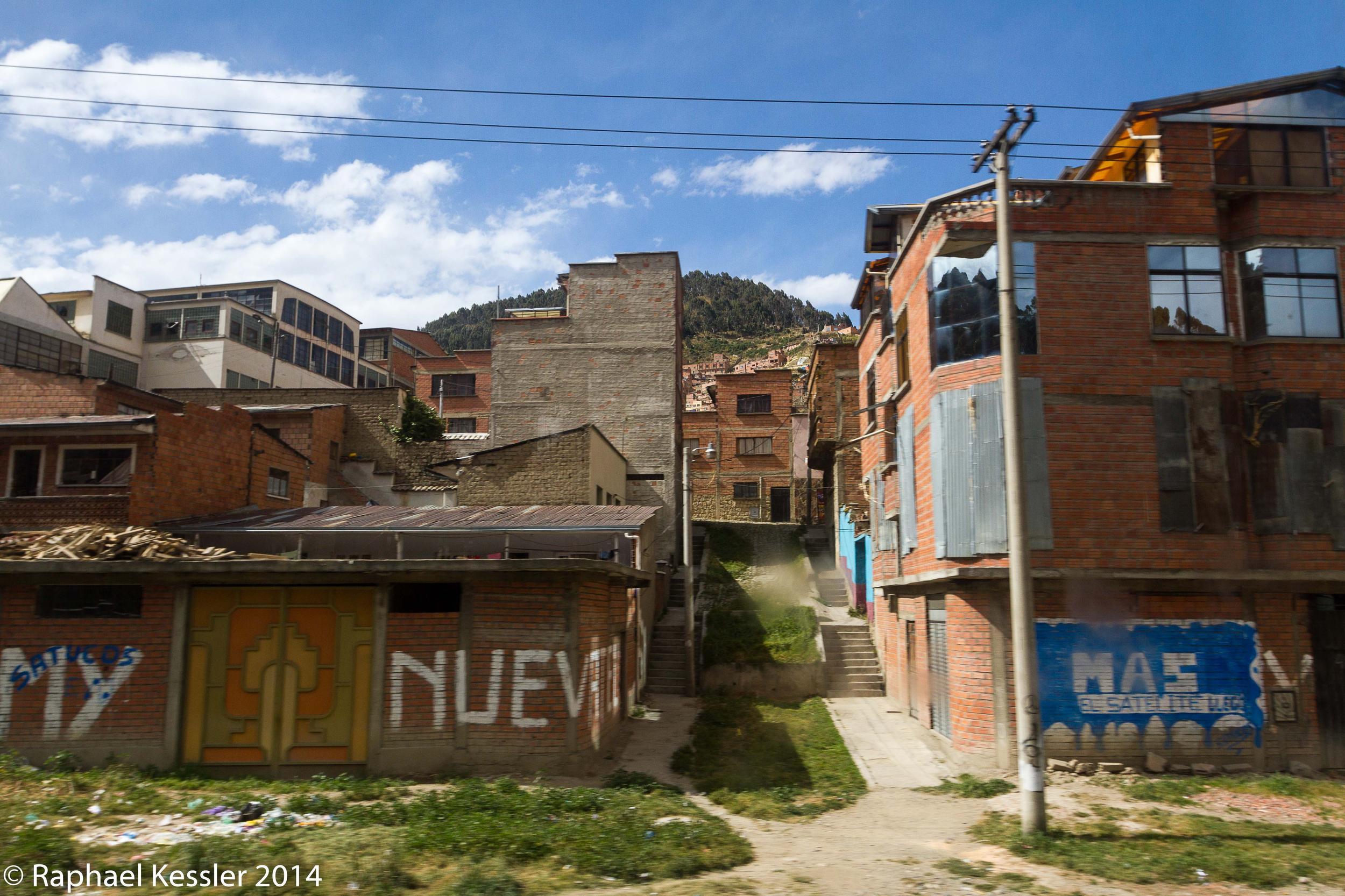
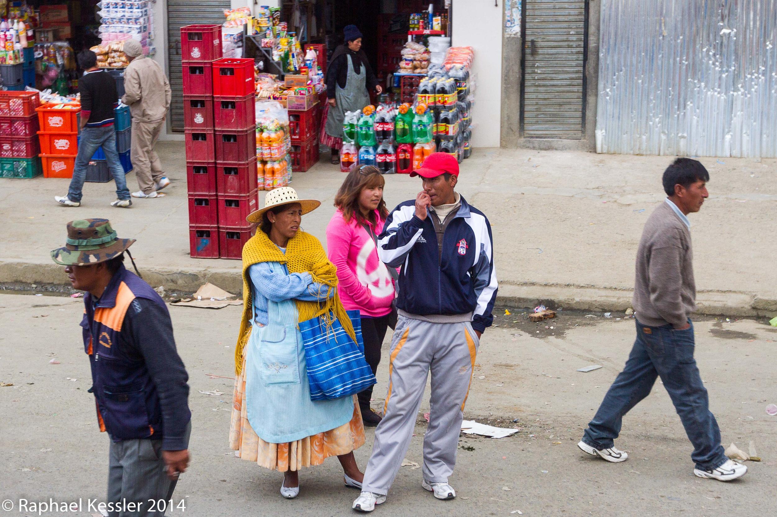
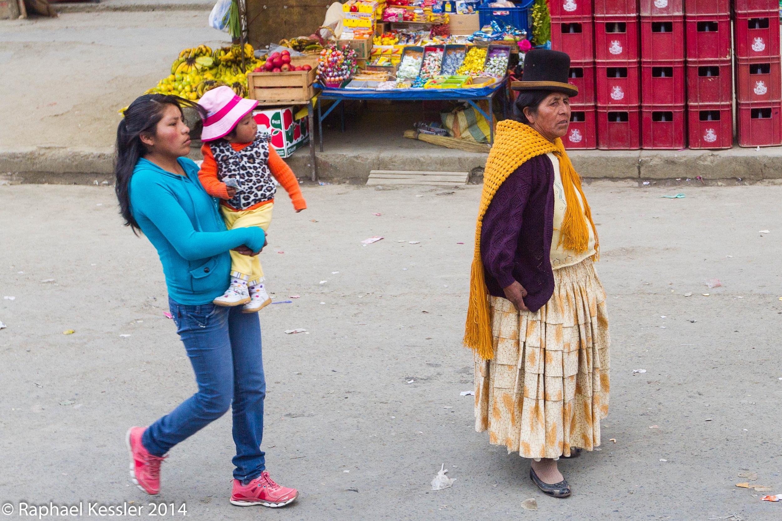
From Uyuni, we went to La Paz and enjoyed the city, we met some lovely people and saw some musical performances. We also had good food and I found someone who was using a photo of mine without permission.
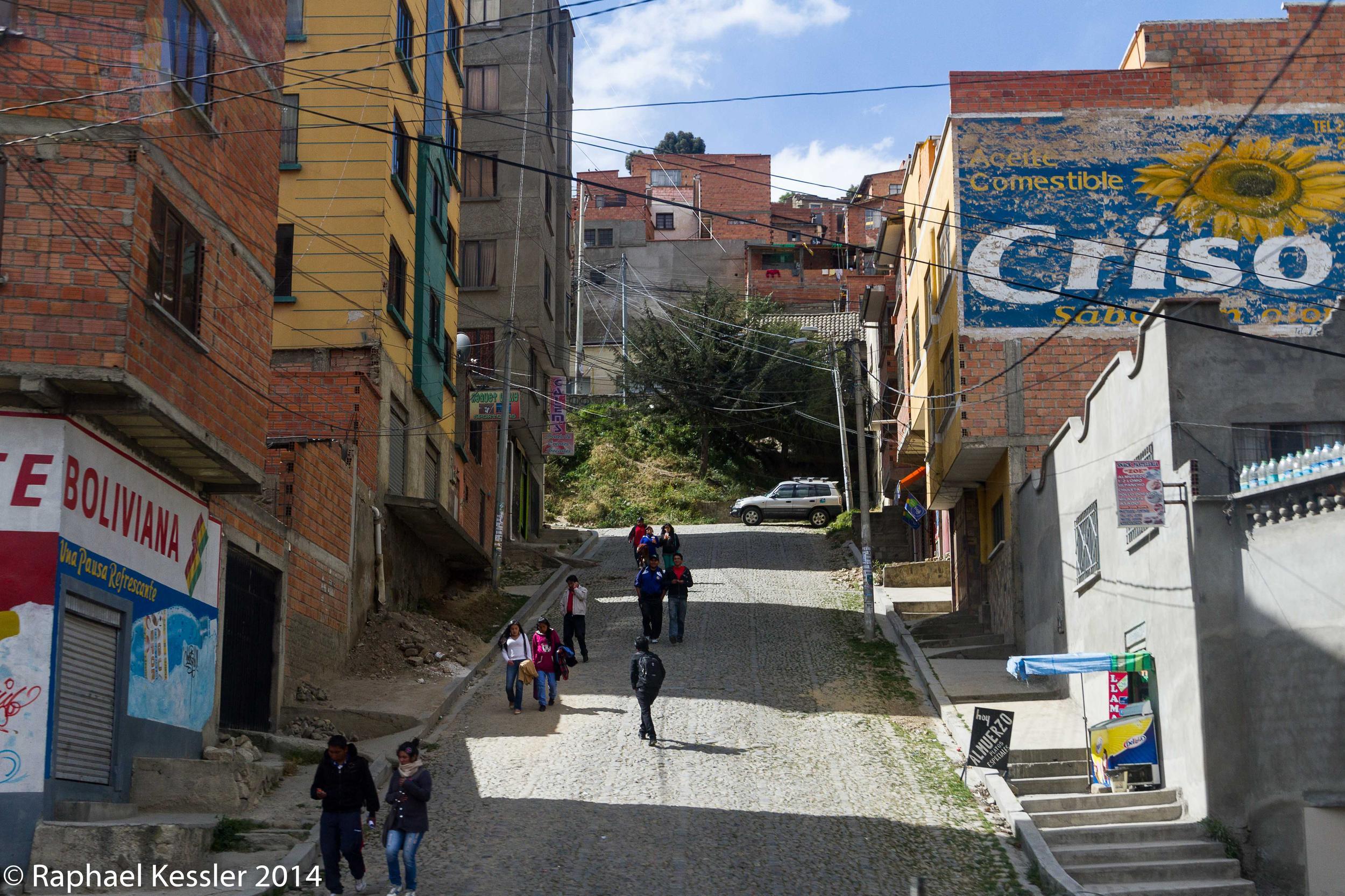
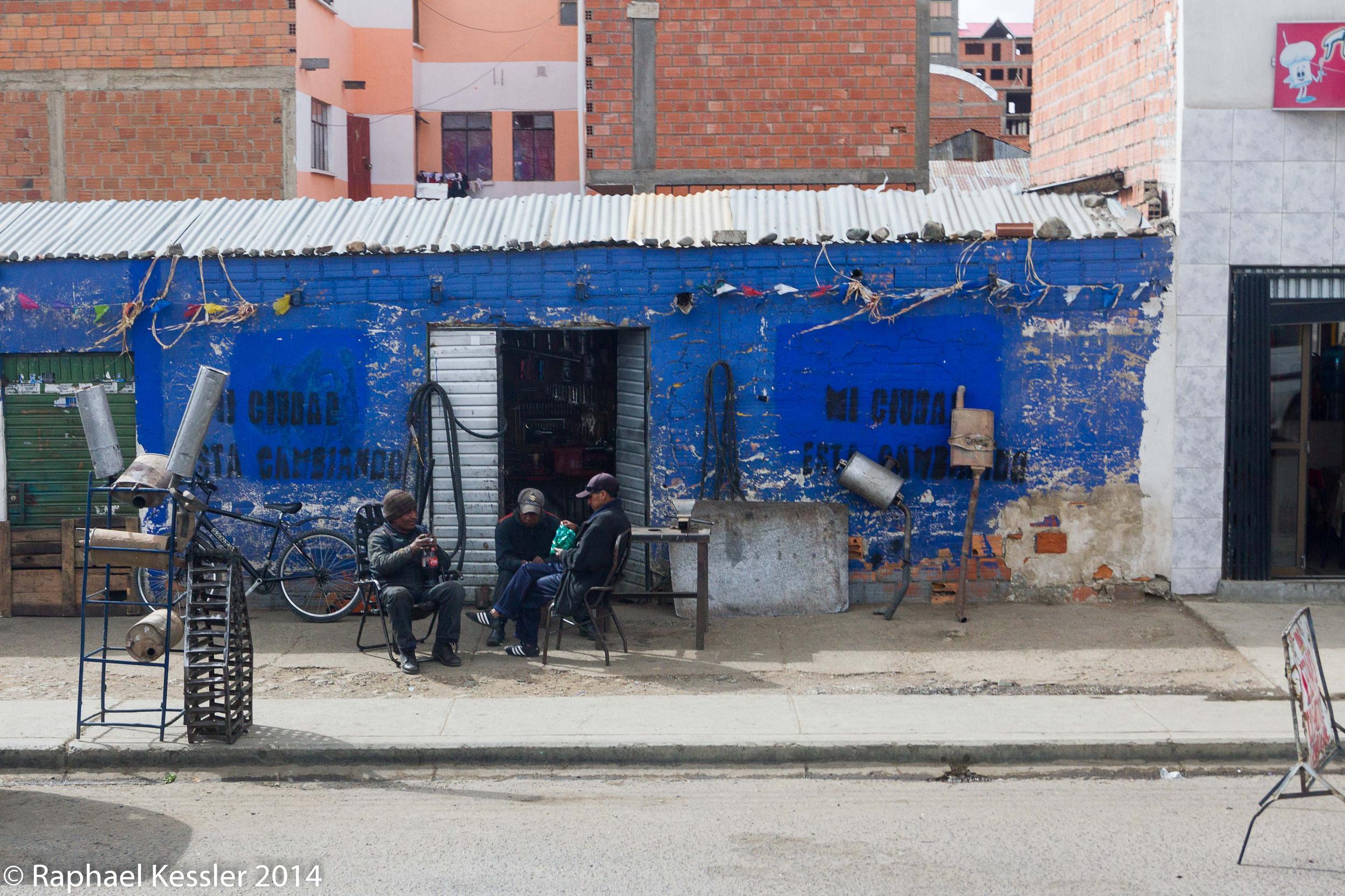
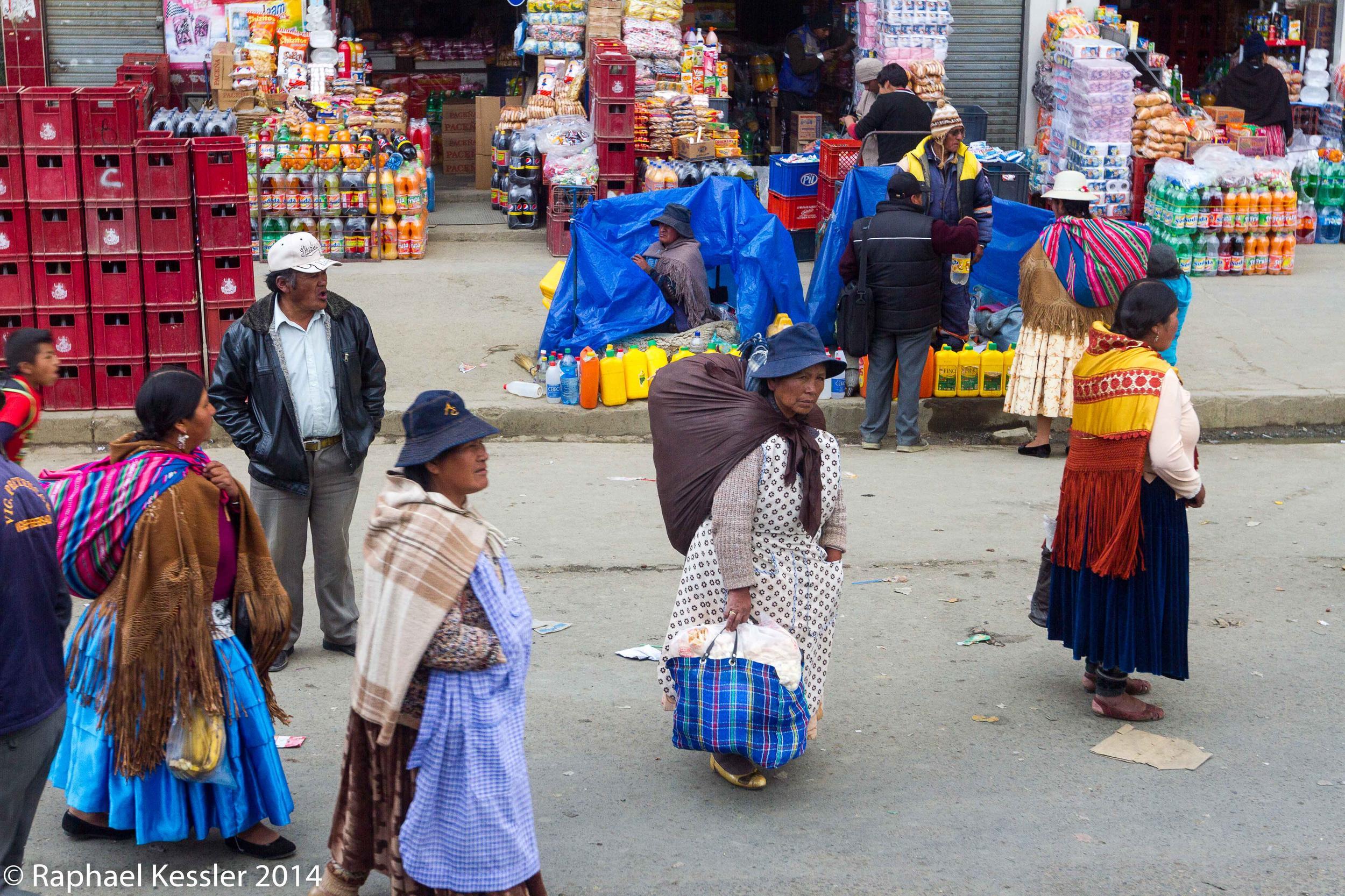
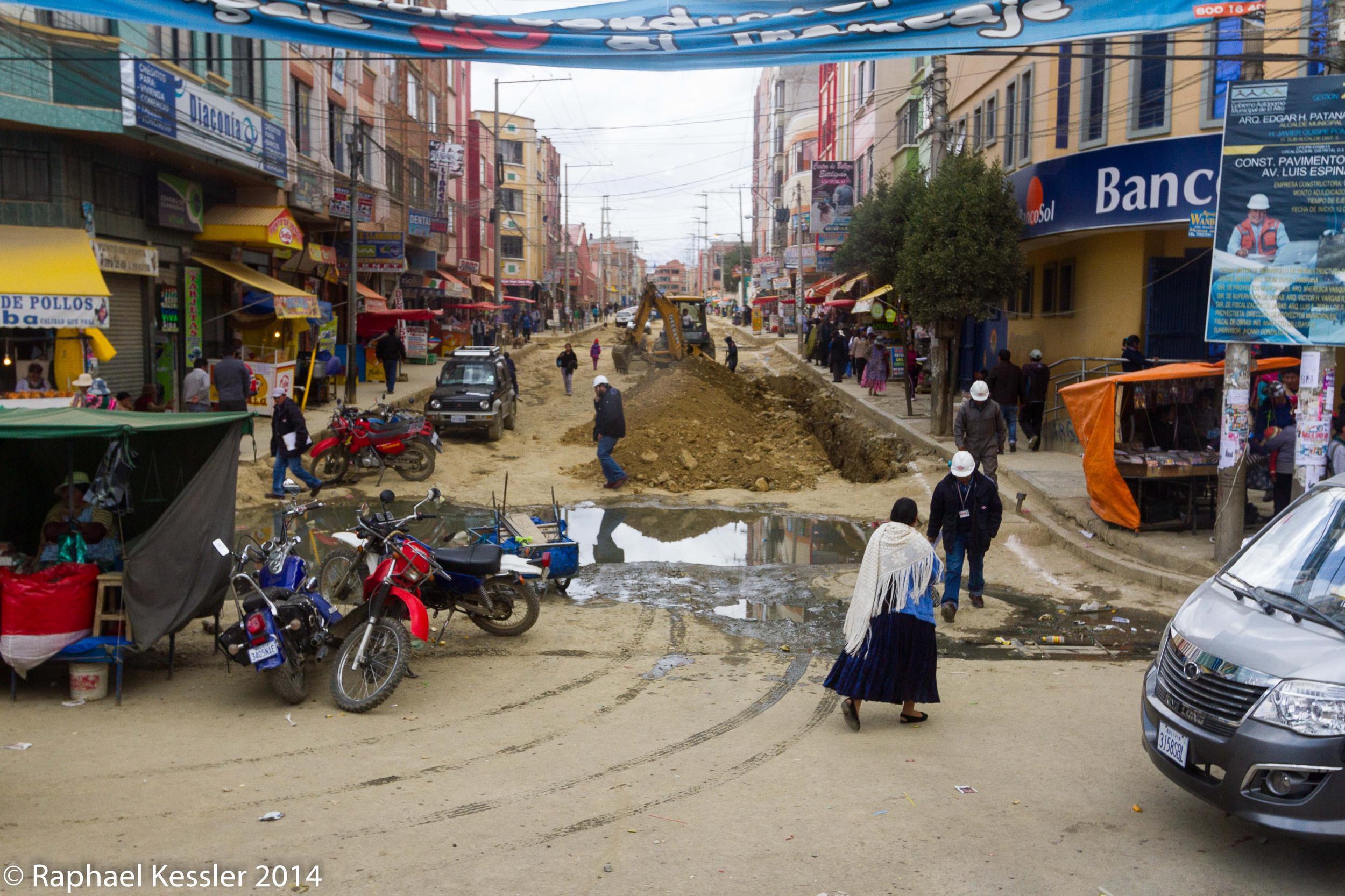
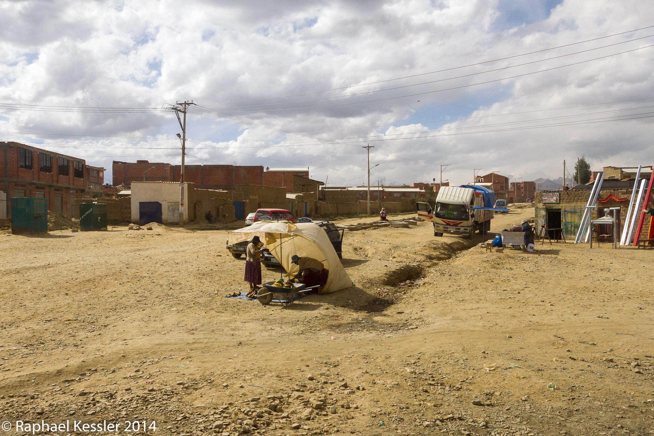
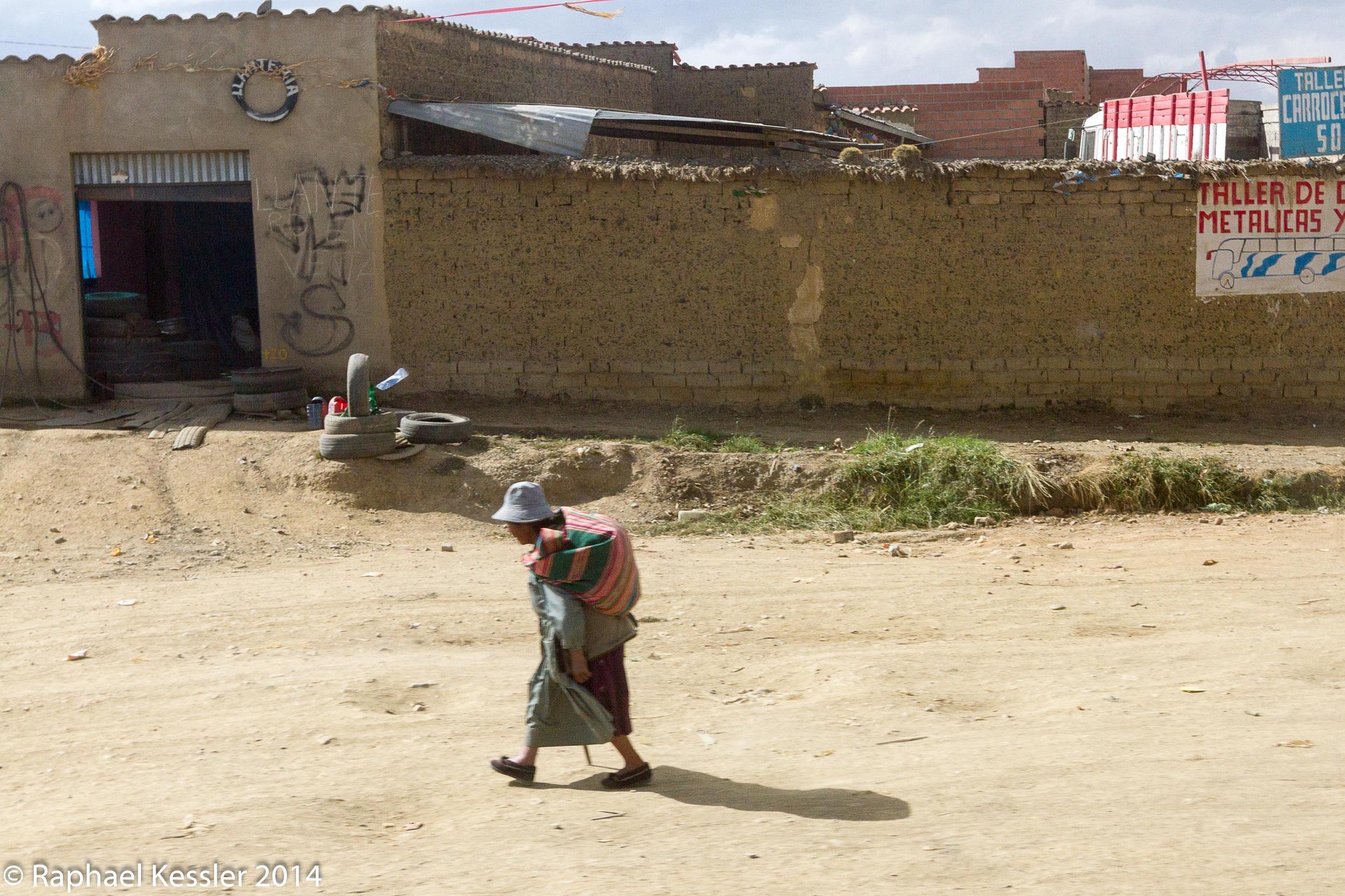
Above La Paz is the city of El Alto, where the people throng the main road north.
The section below is from a previous visit to the country.
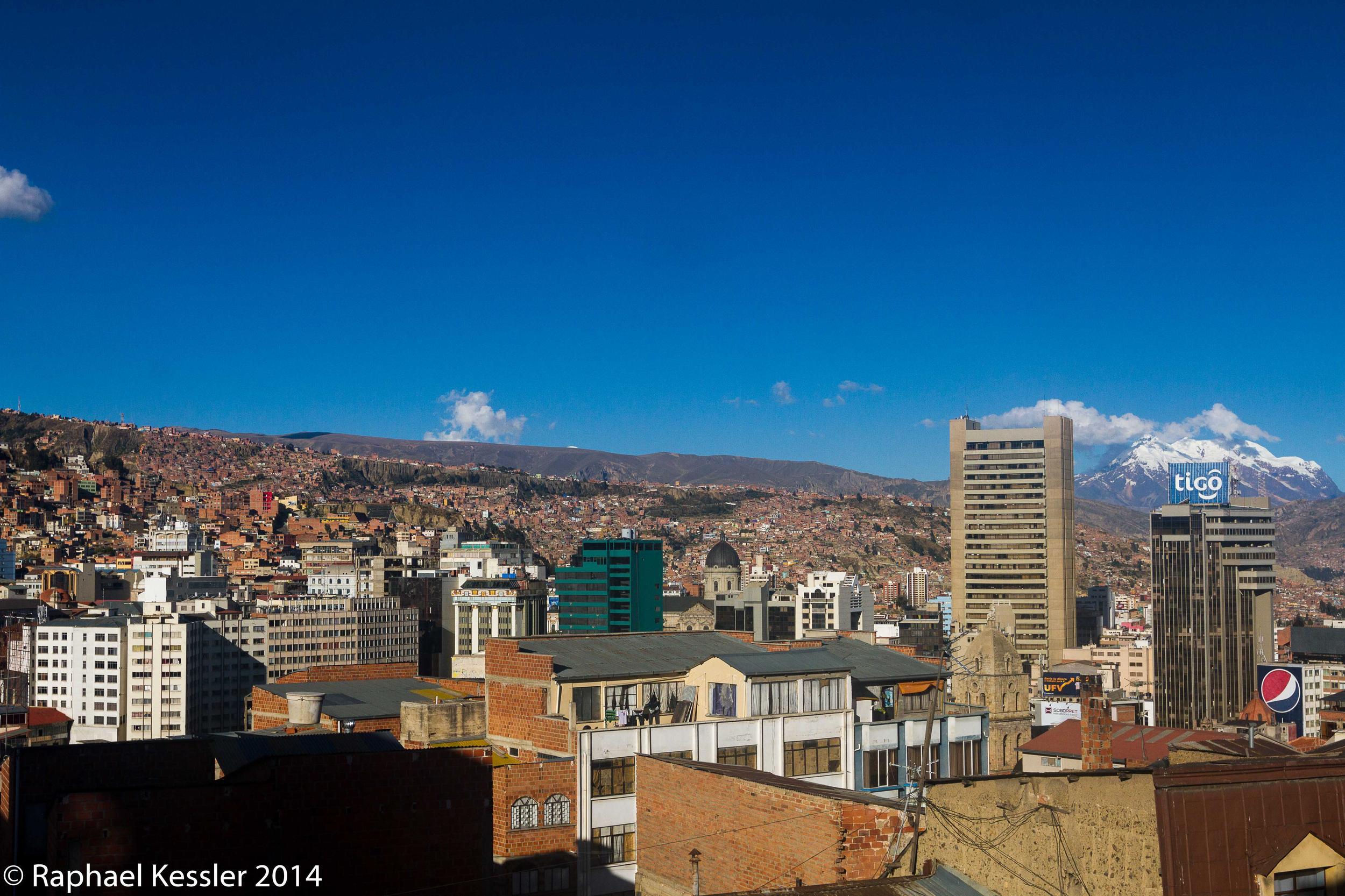
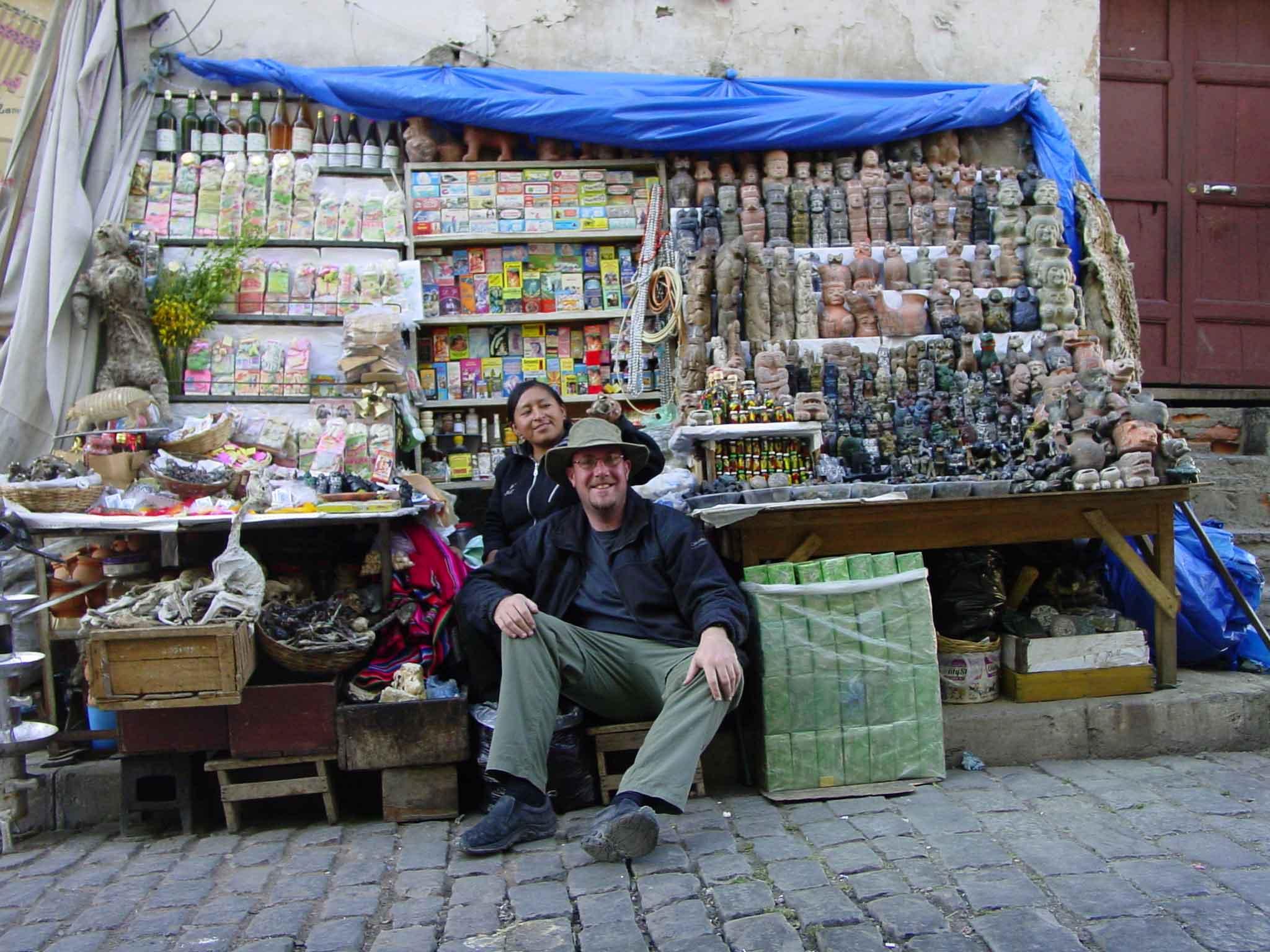
La Paz is set in a hanging valley at 3,700 metres, with mount Illimani overlooking. The witches market there has some odd things for sale (photo 3), including dried llama foetuses. The stall-holder in the photo is actually placing a glittery dried frog on my head.
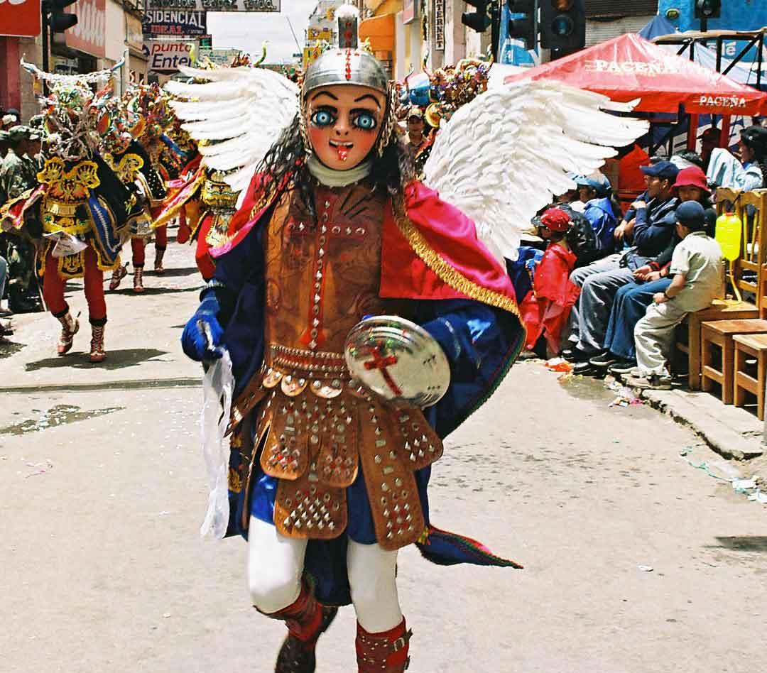
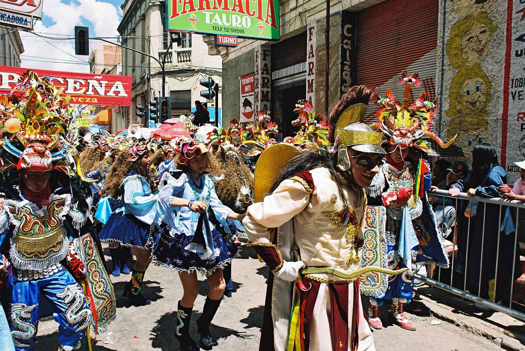
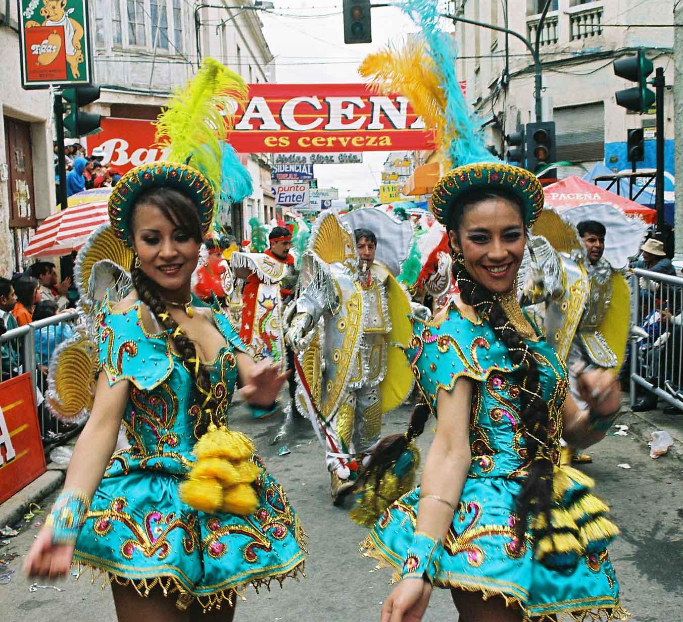
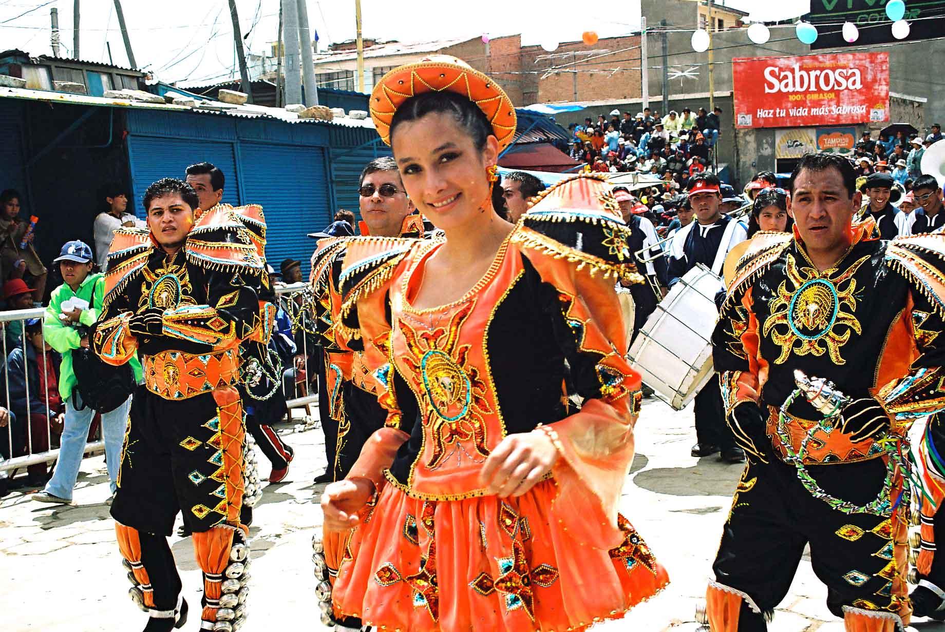
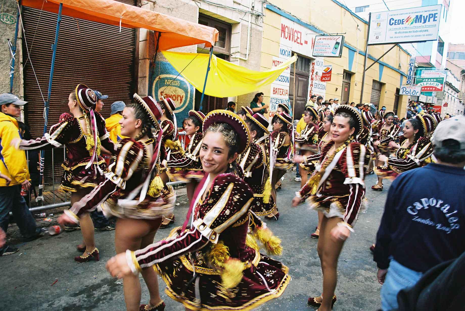
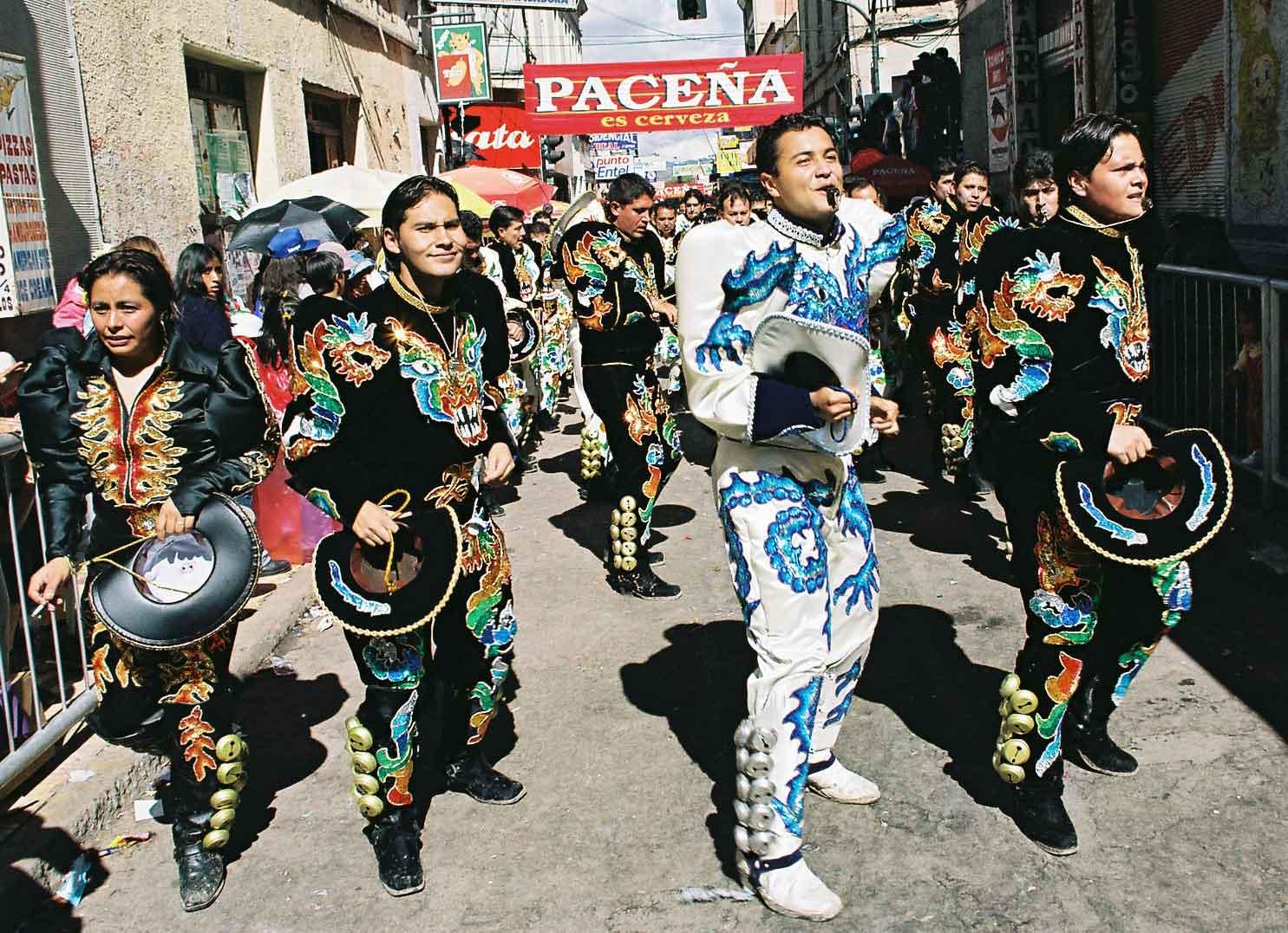
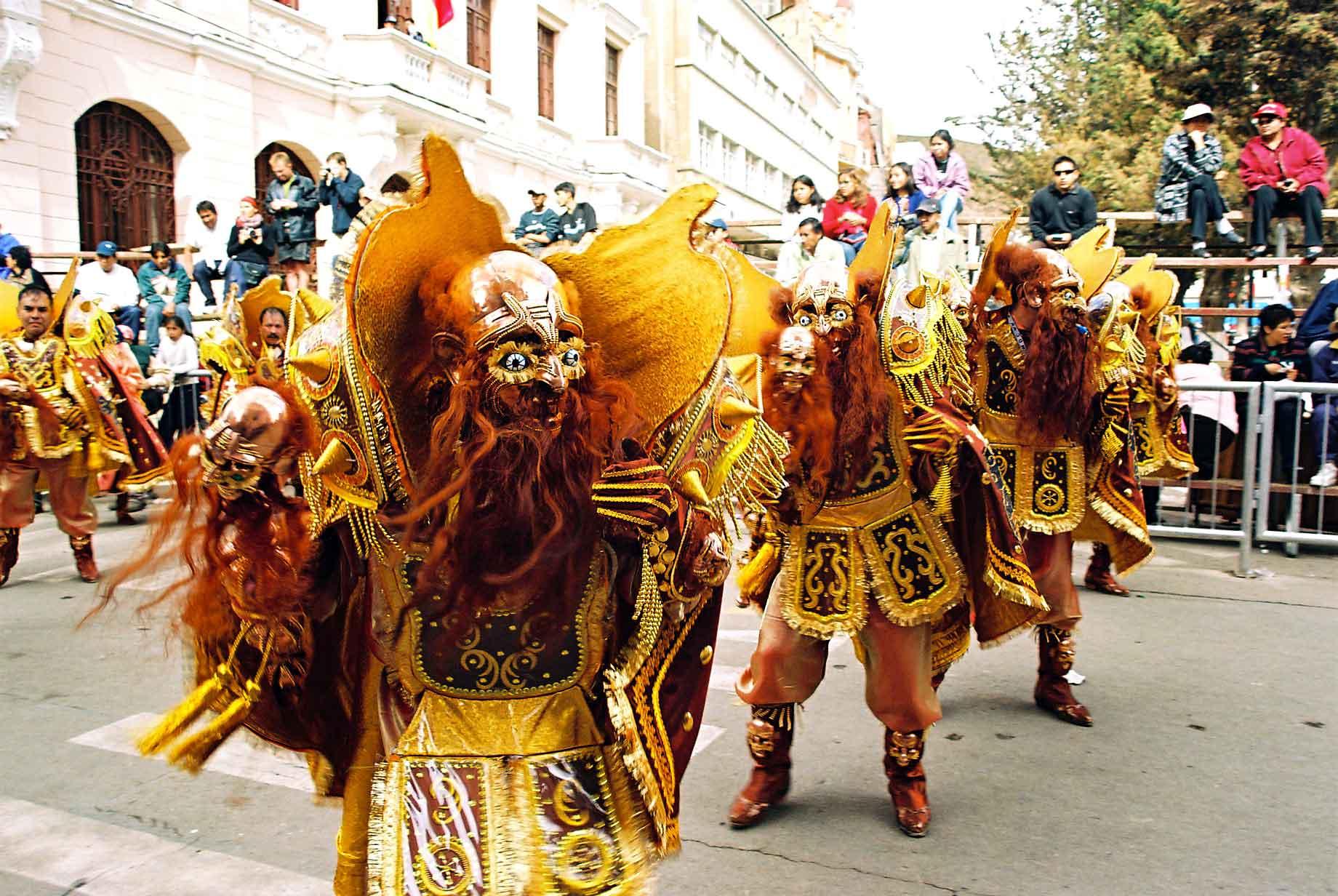
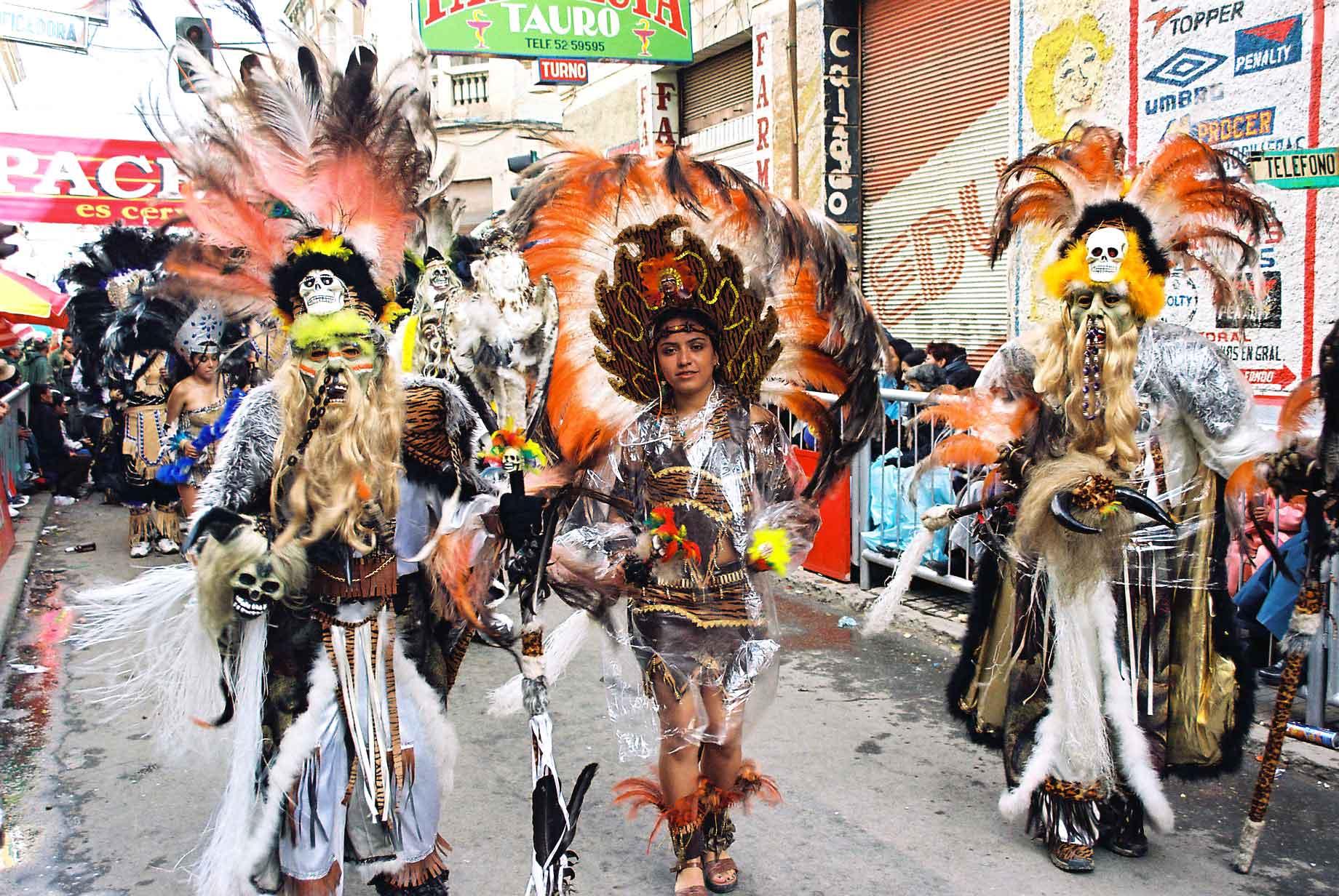
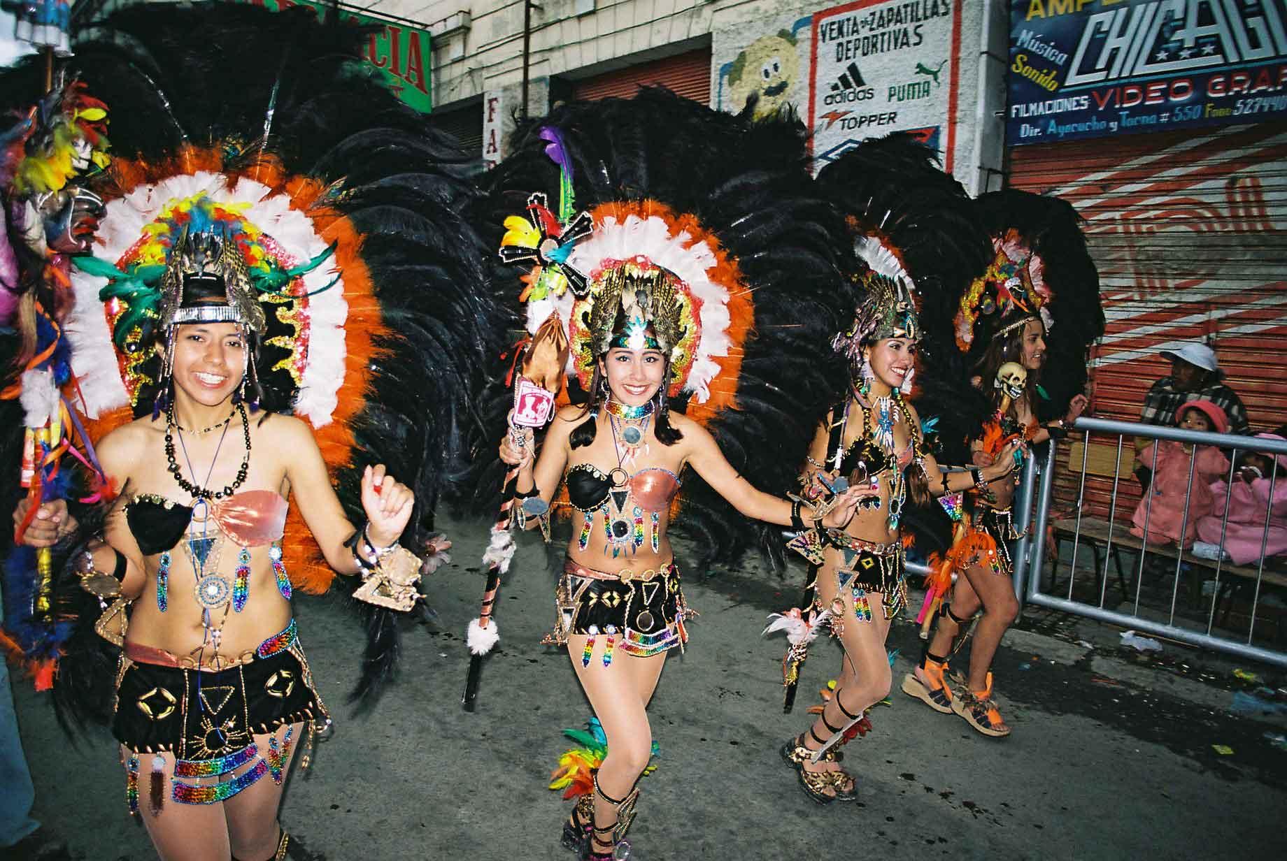
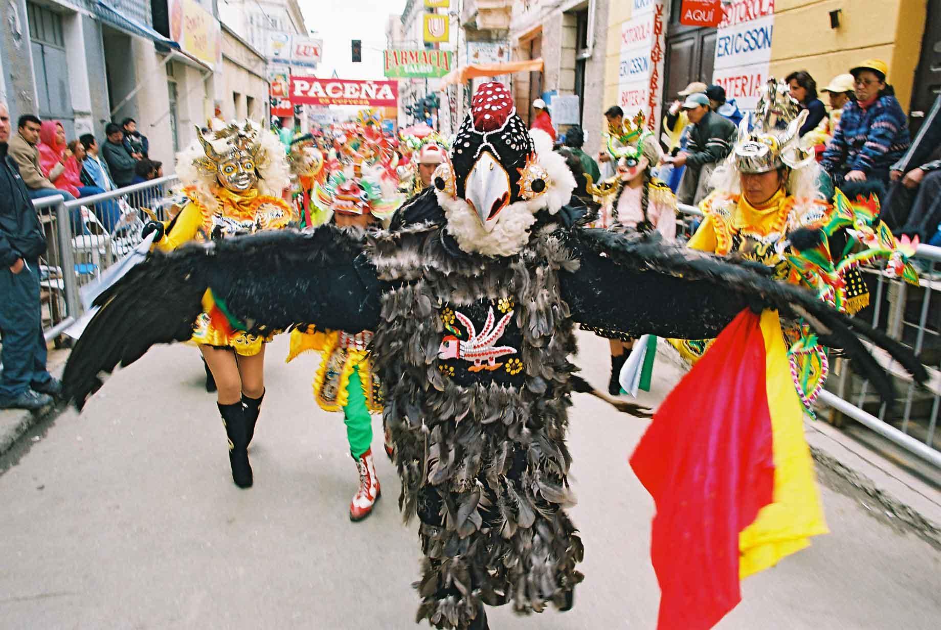
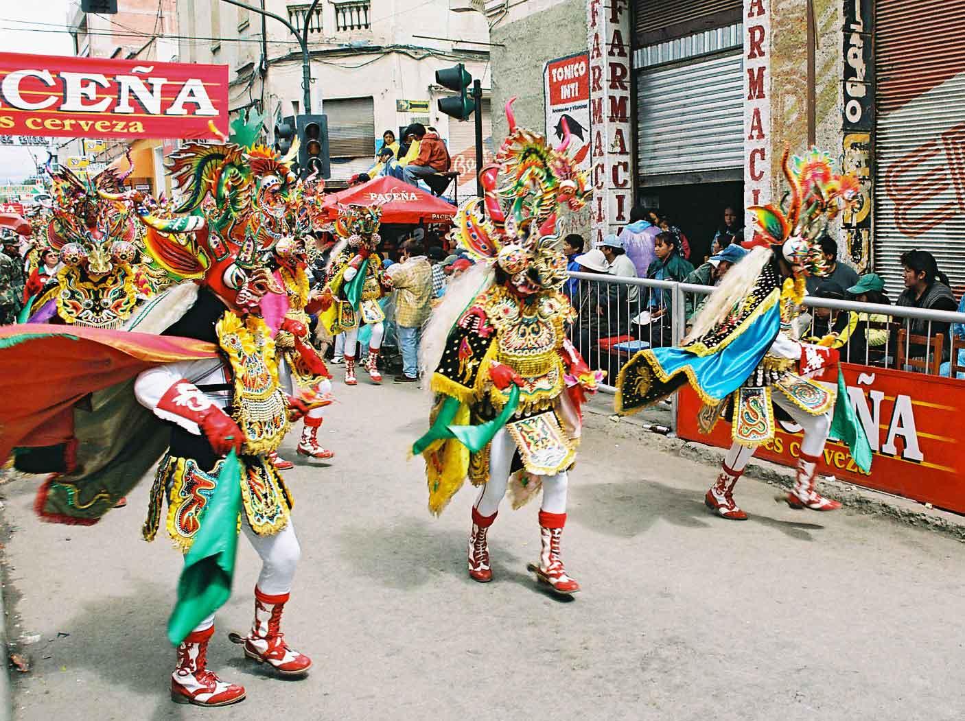
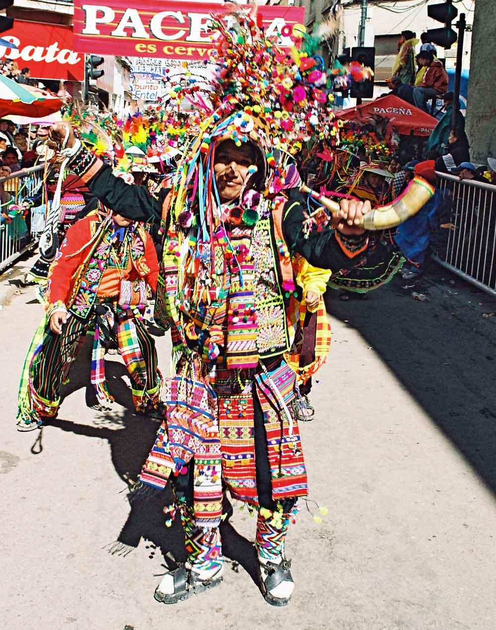
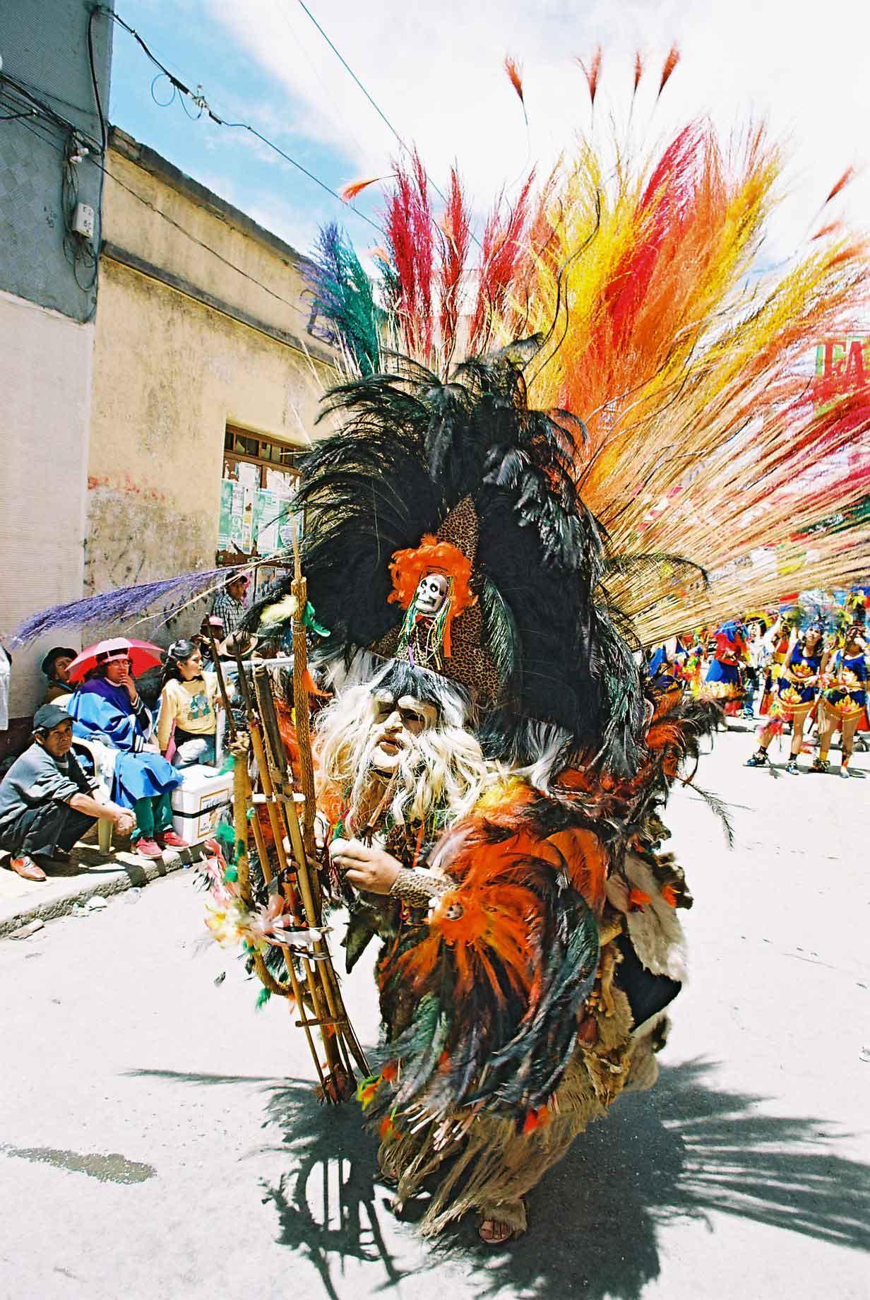
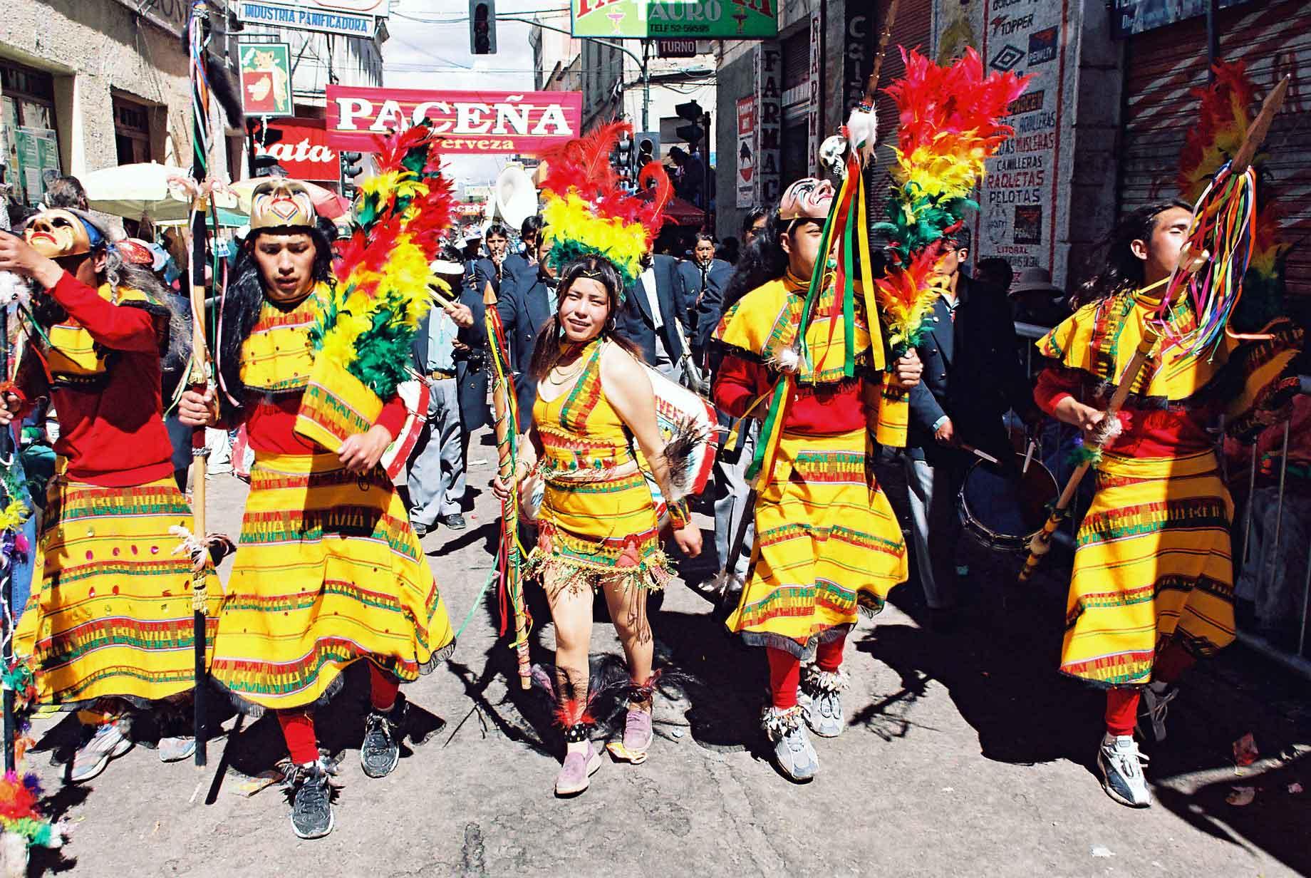
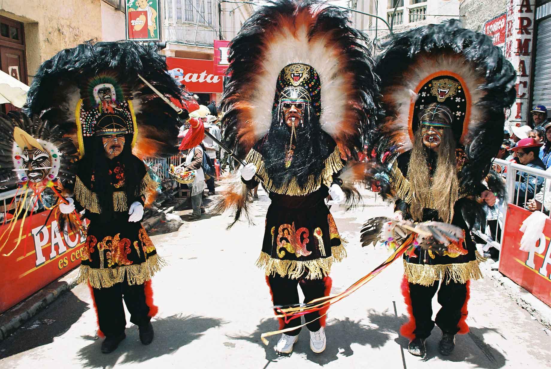
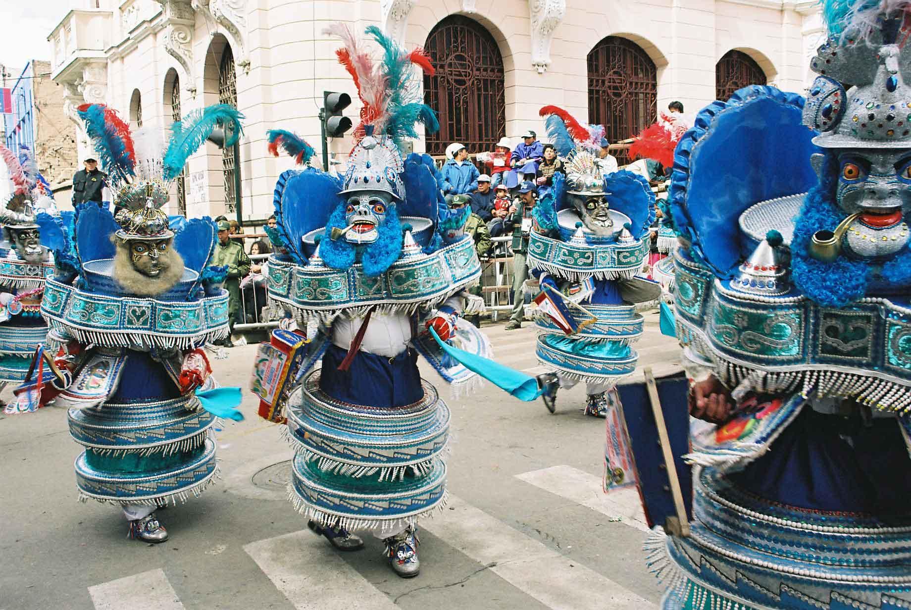
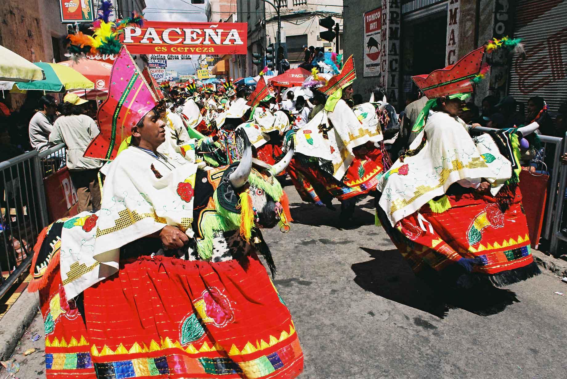
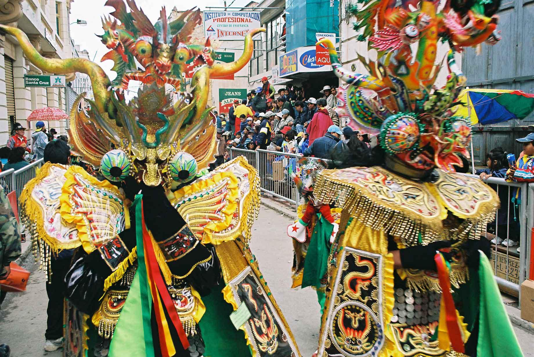
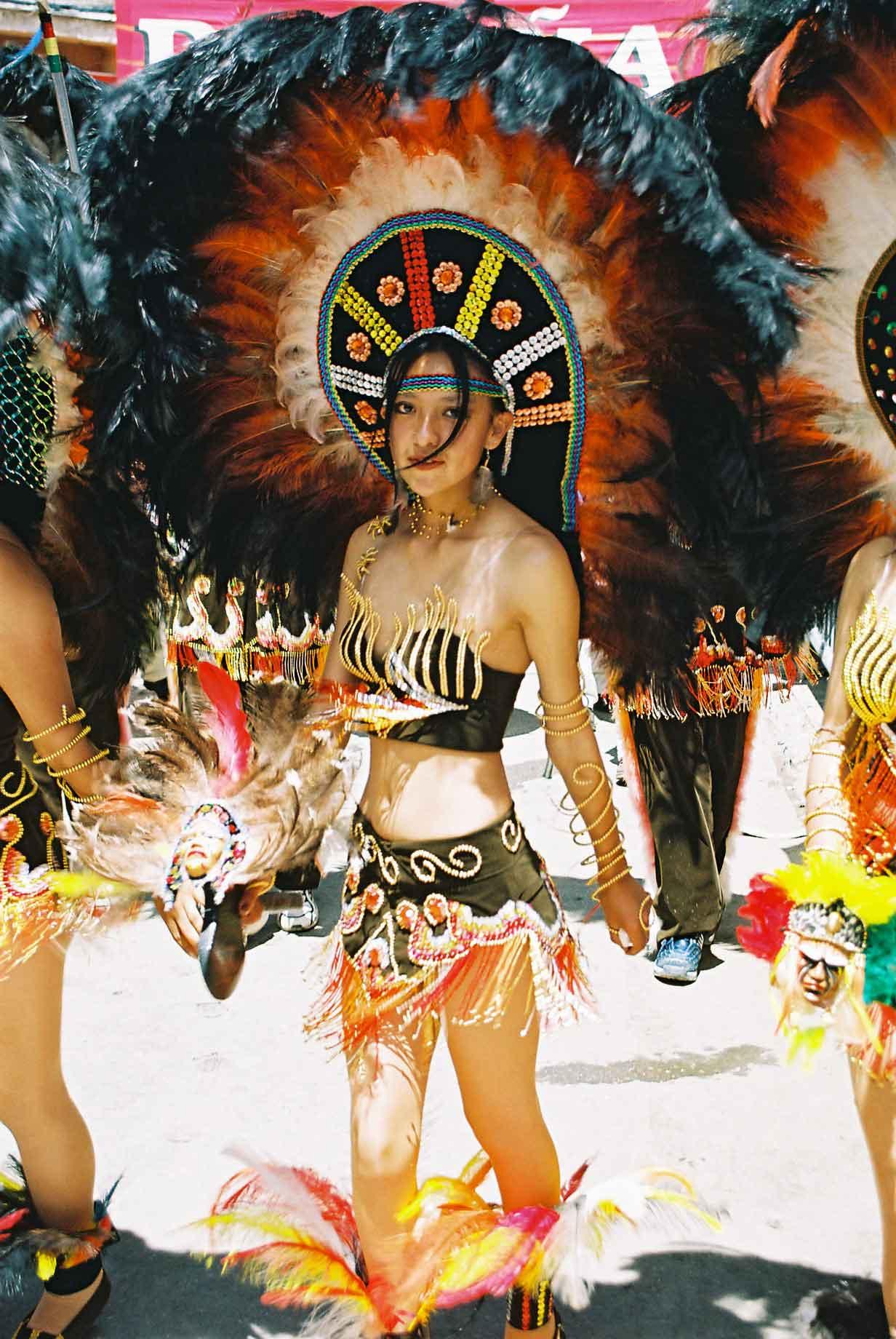
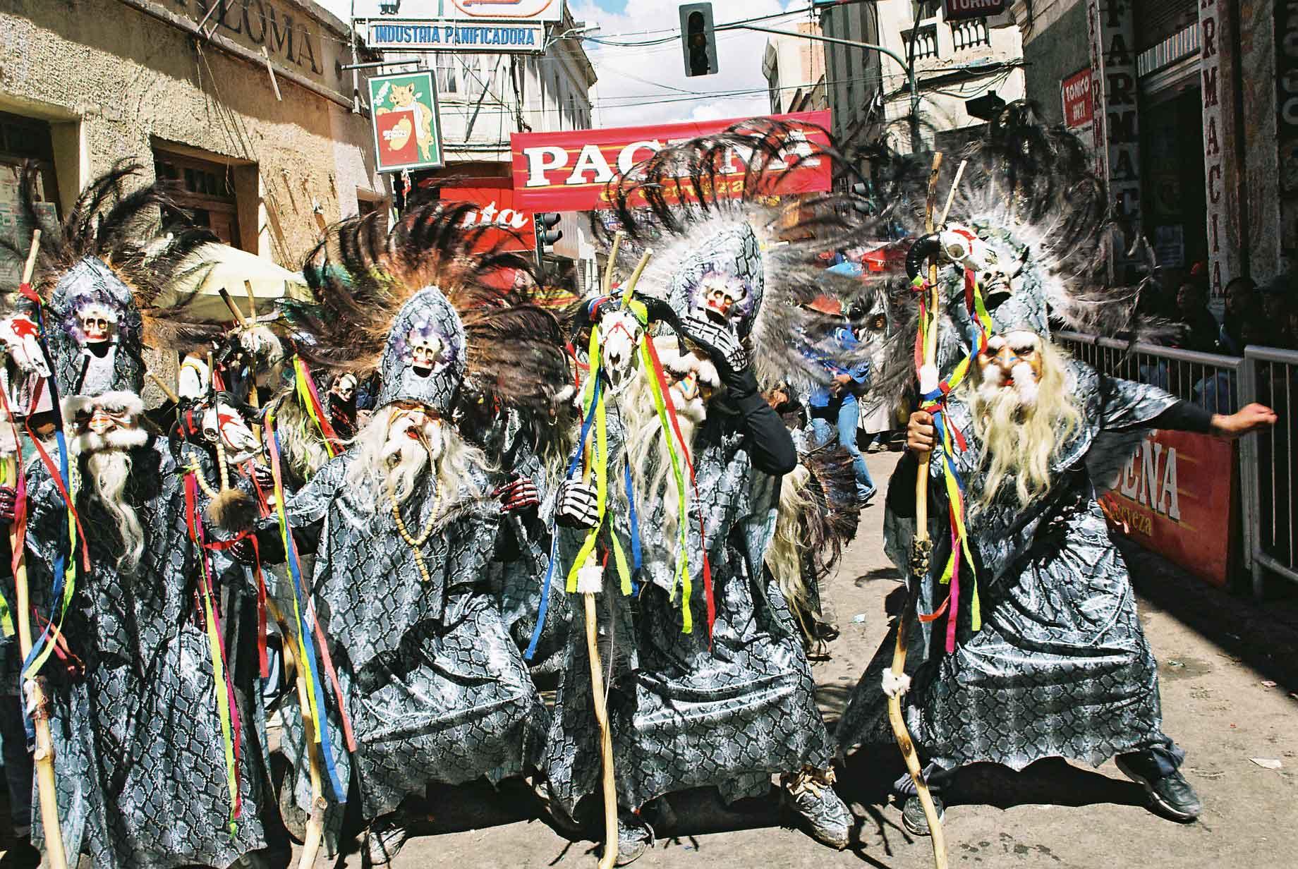
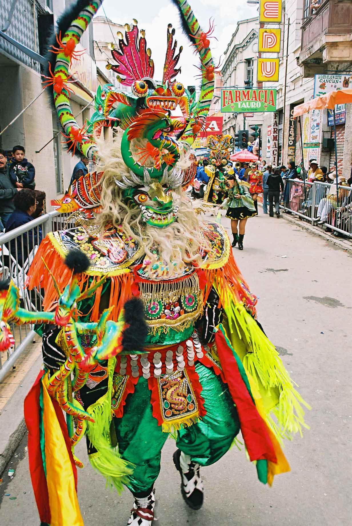
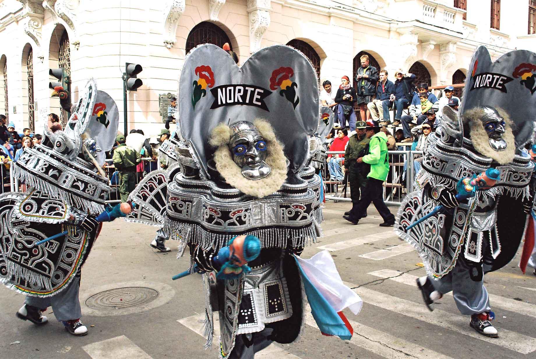
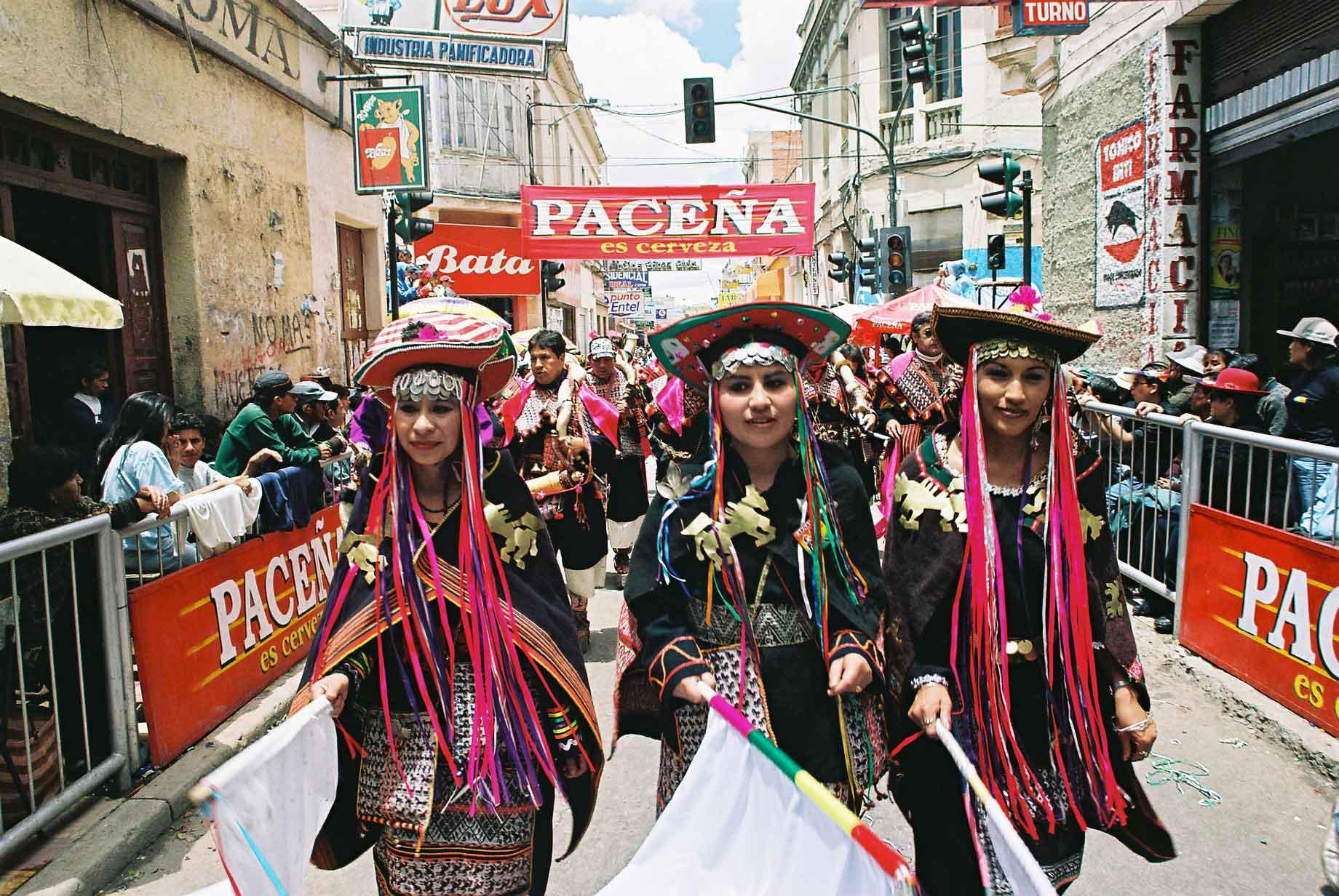
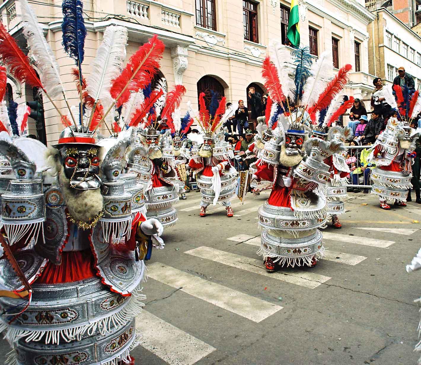
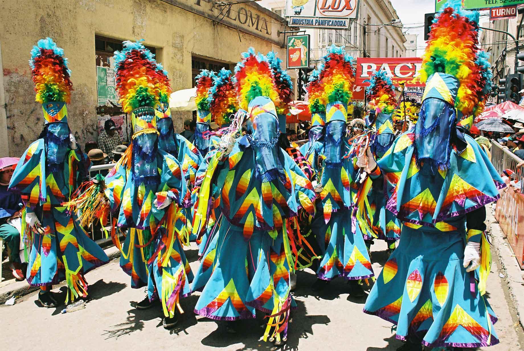
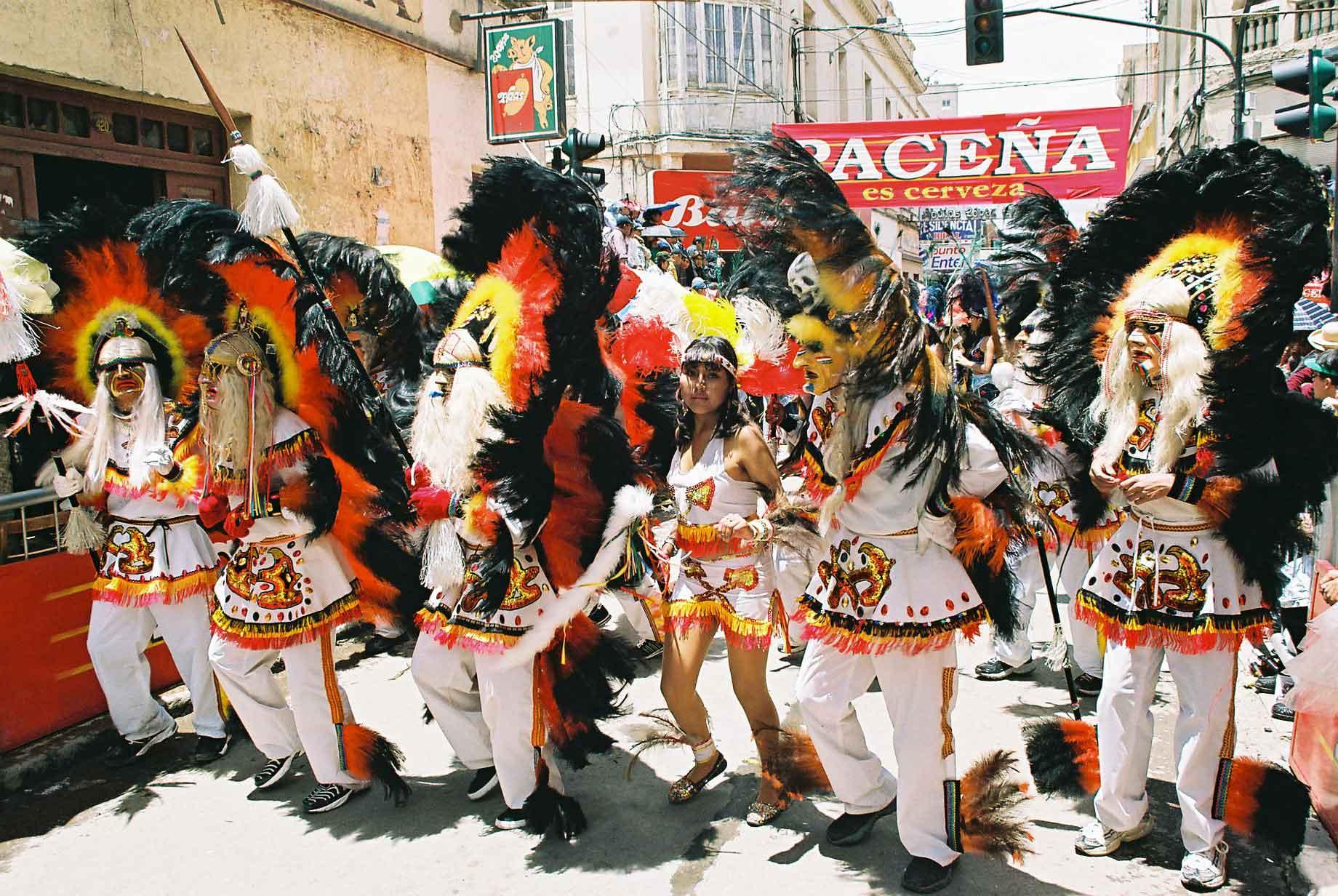
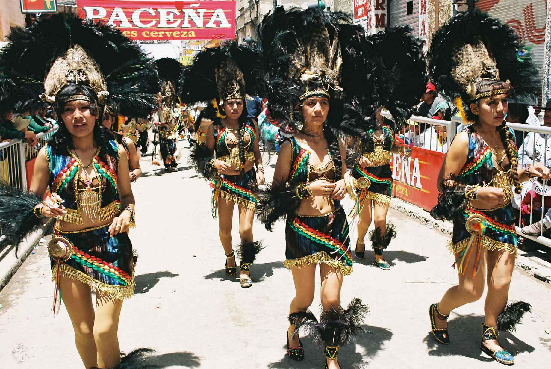
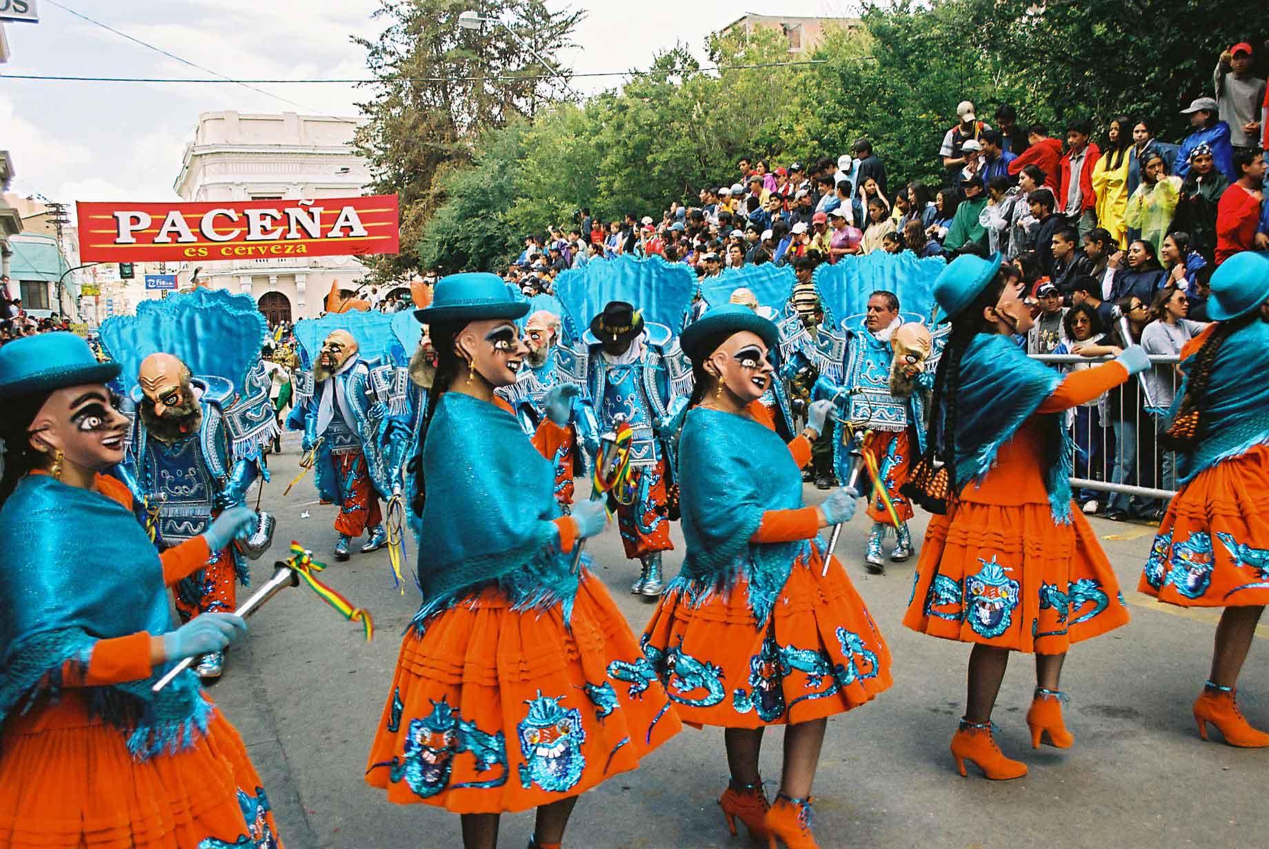
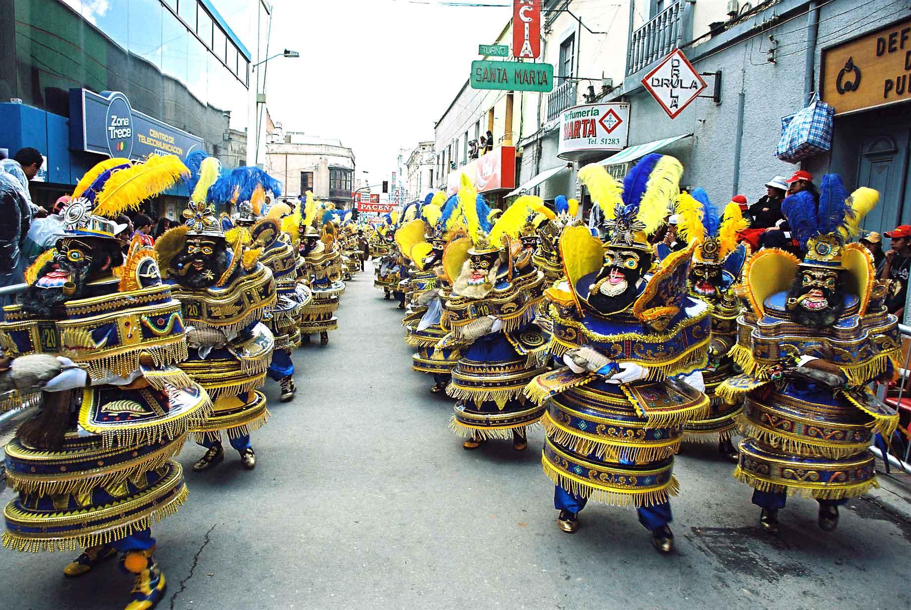
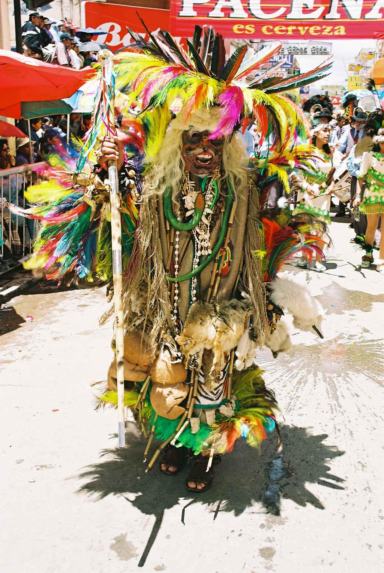
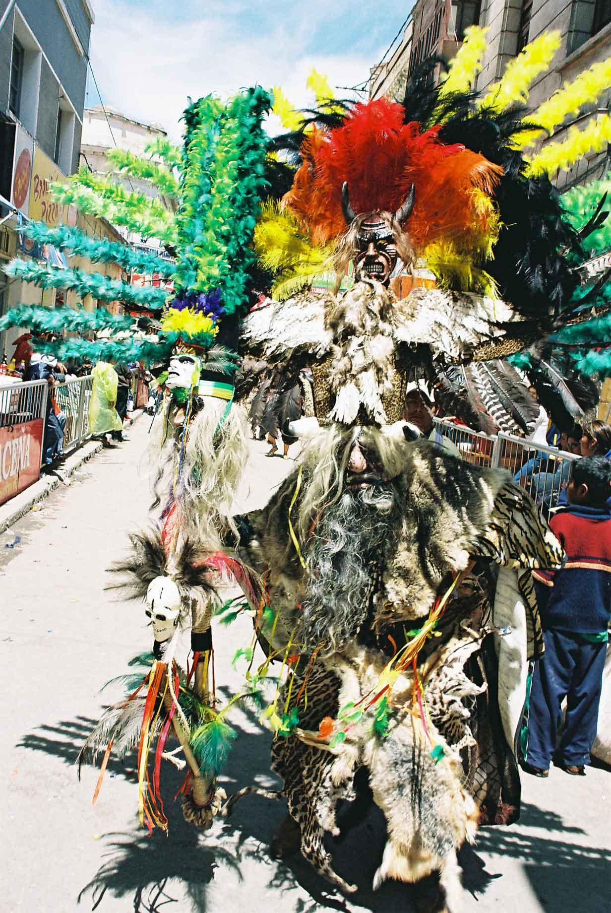
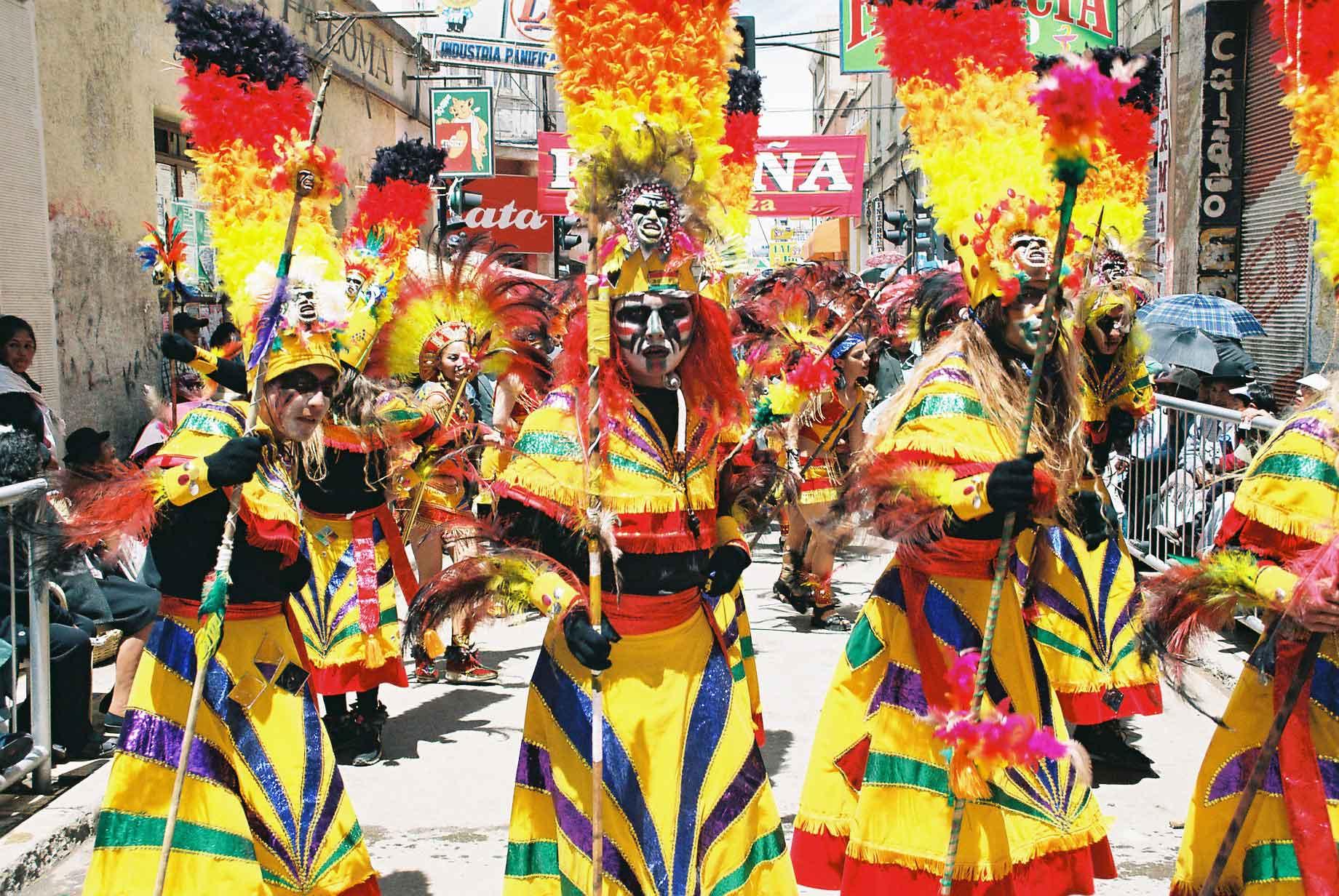
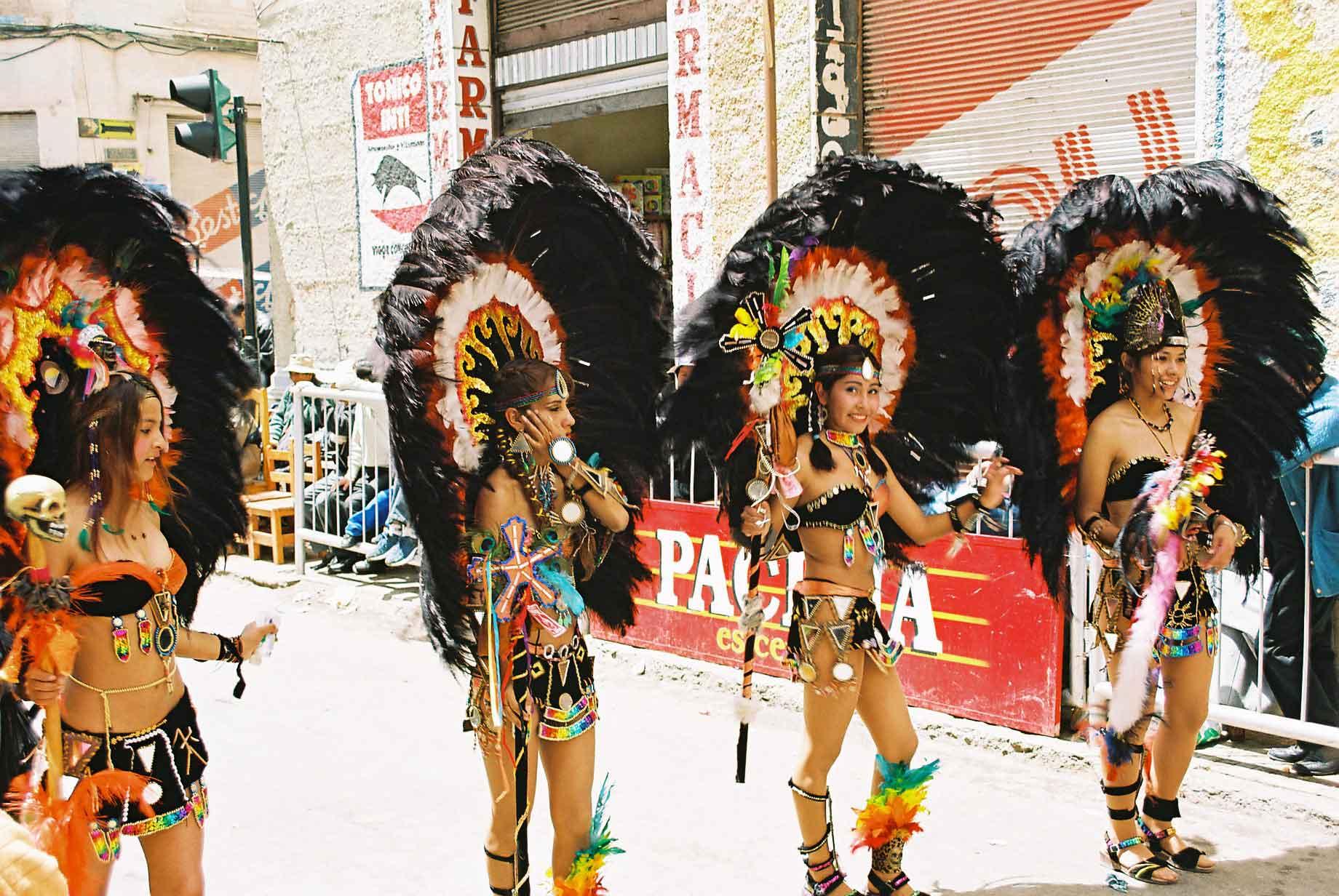
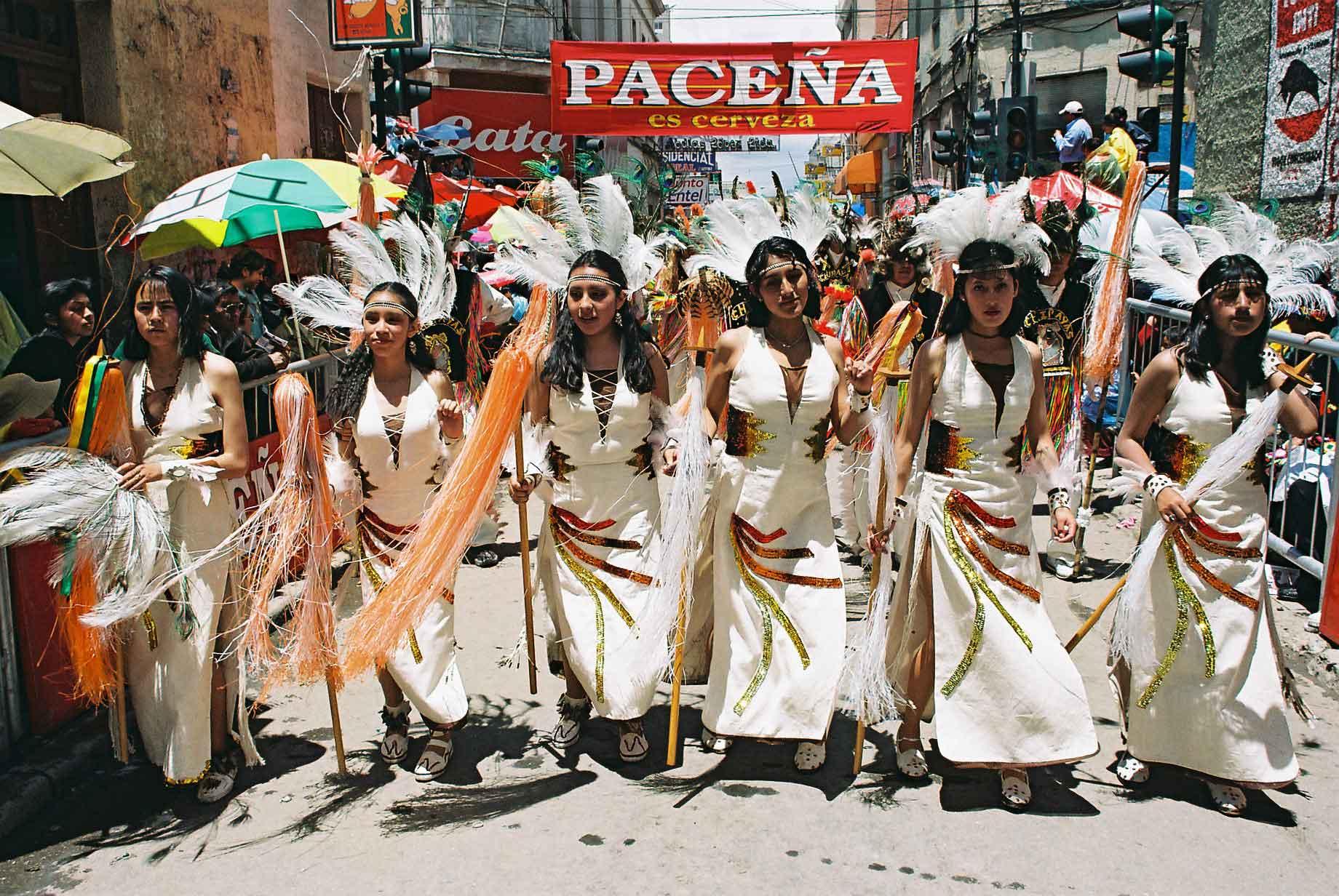
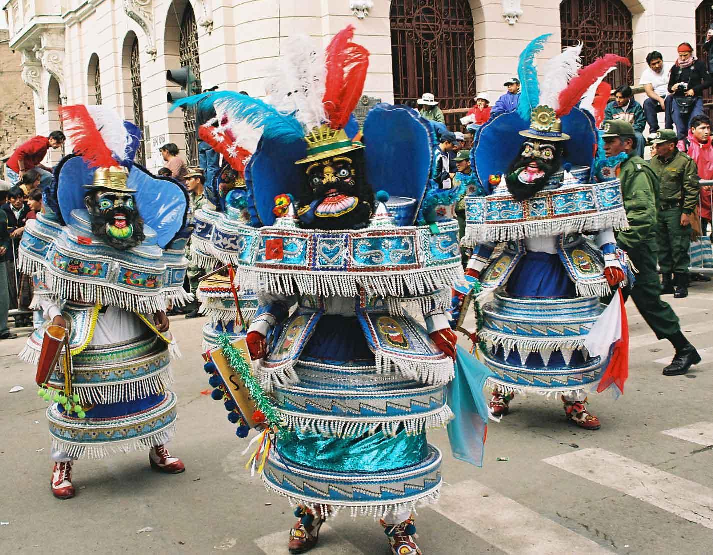
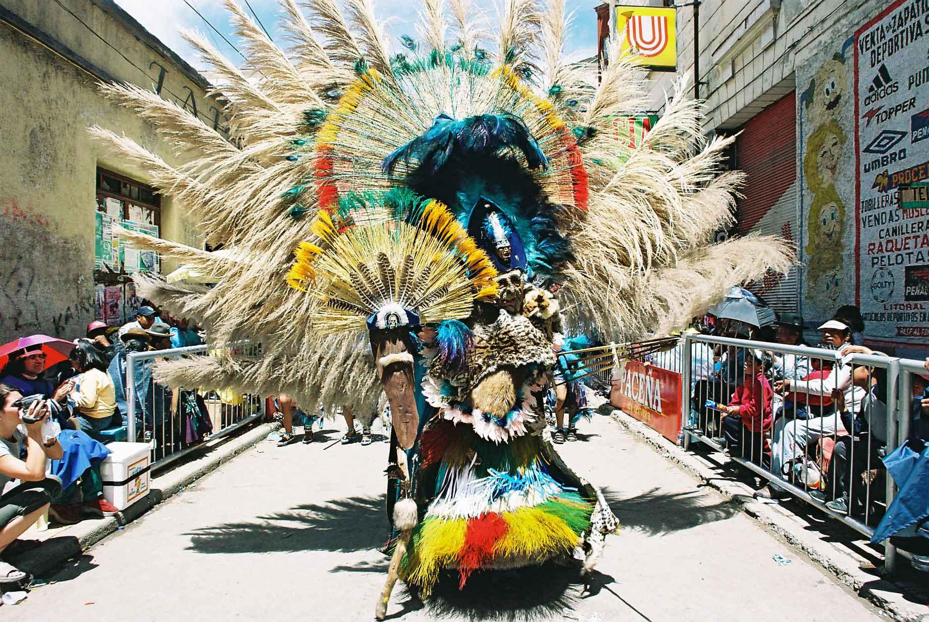
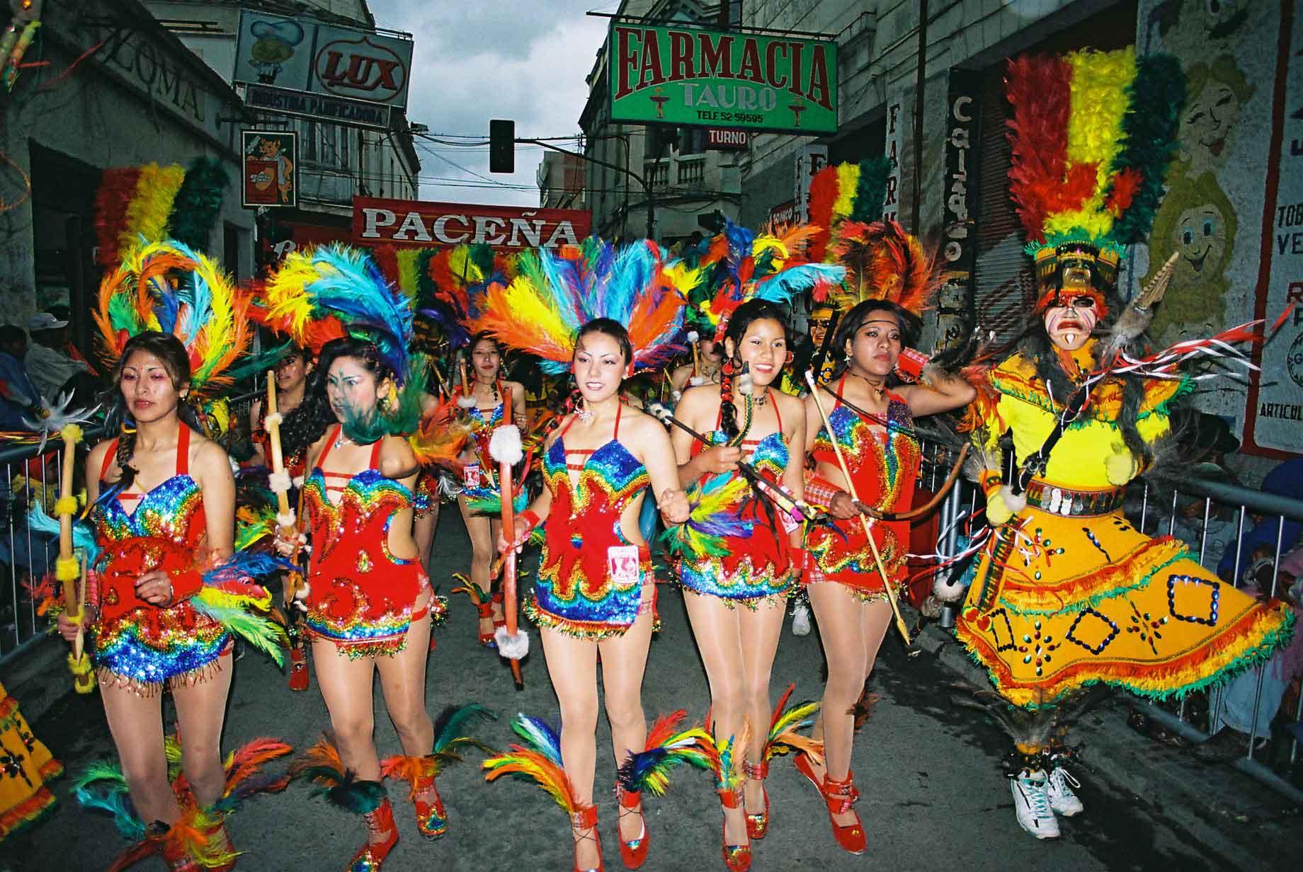
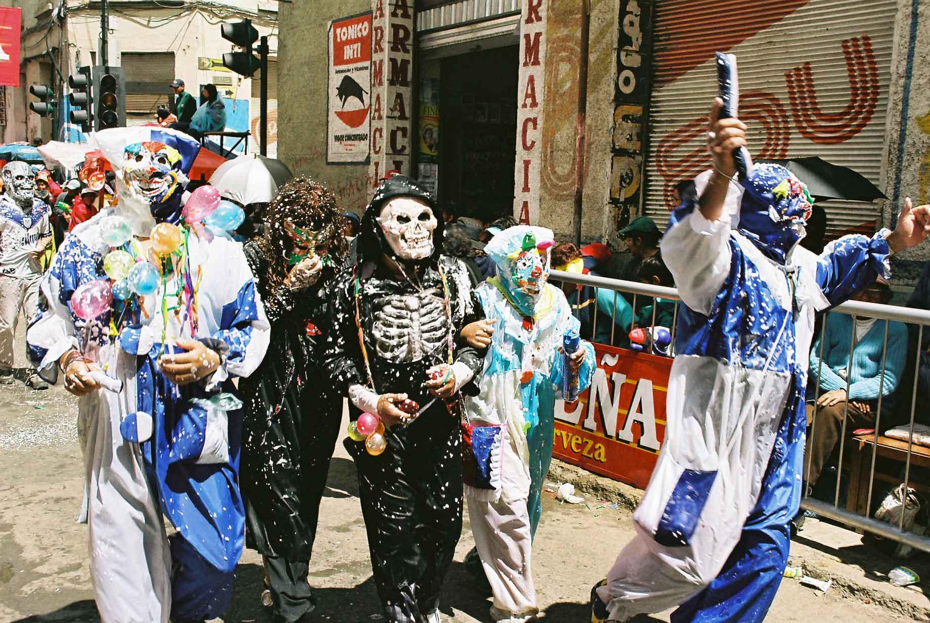
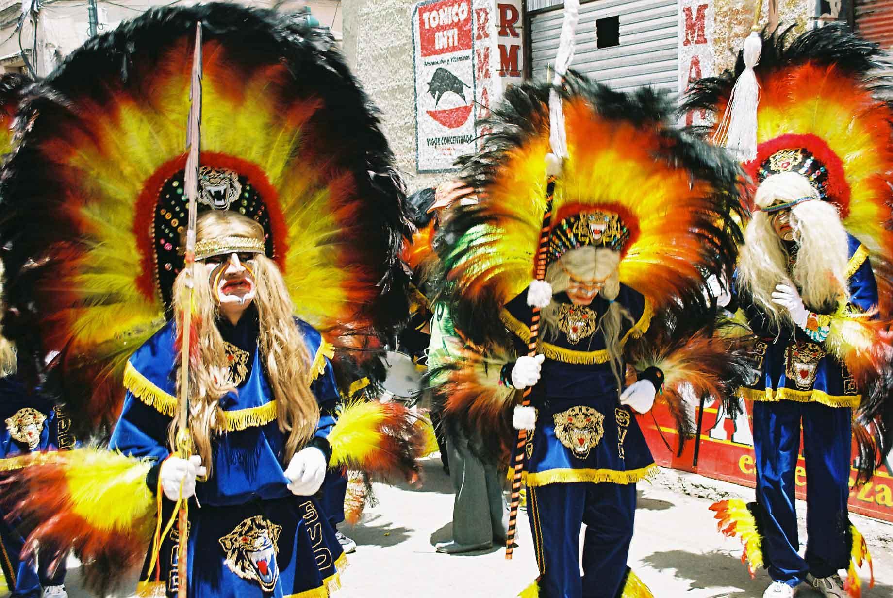
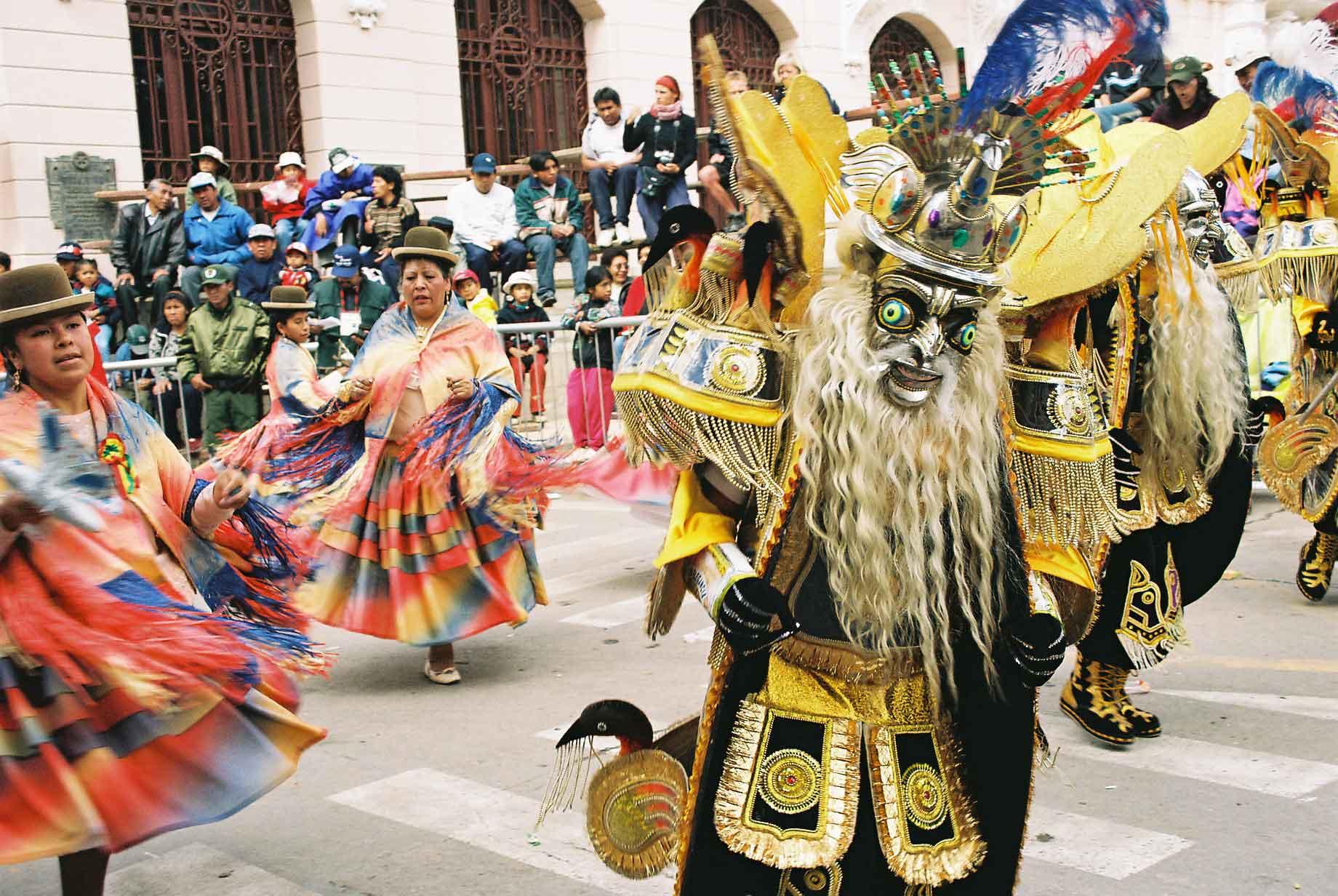
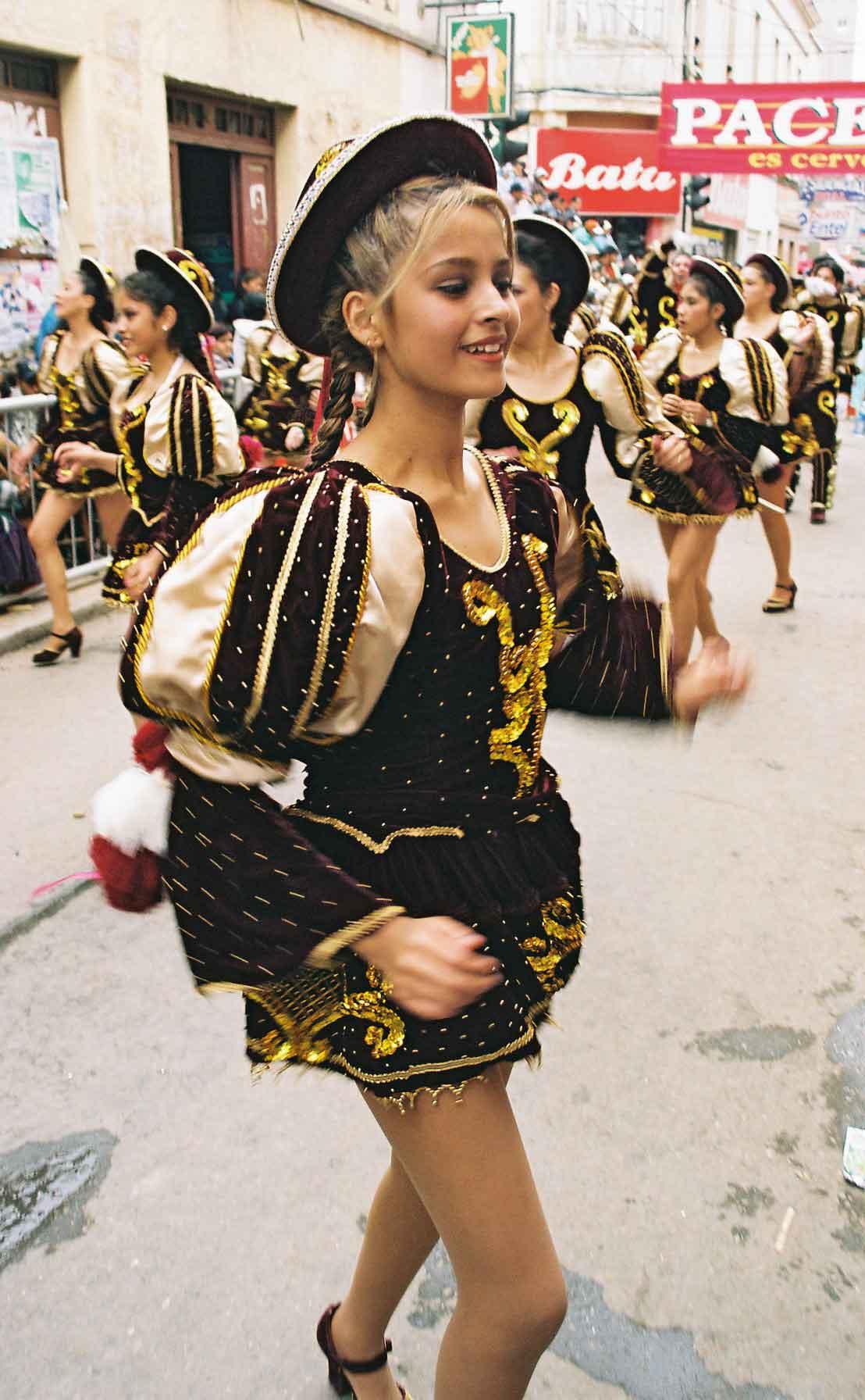
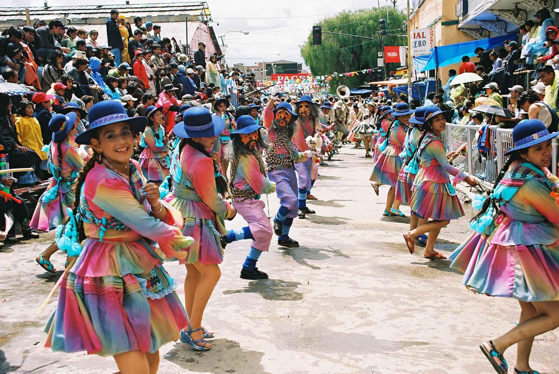
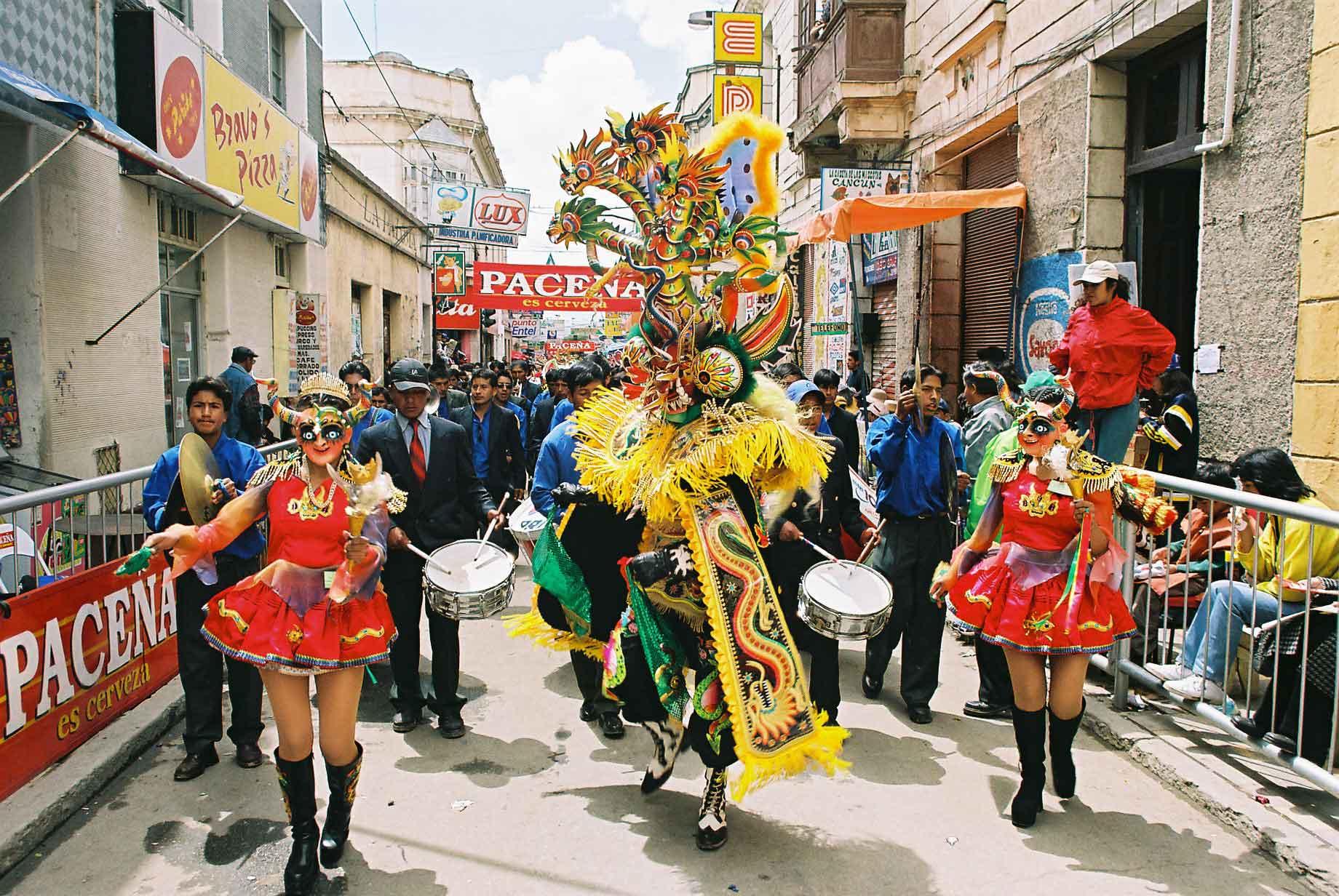
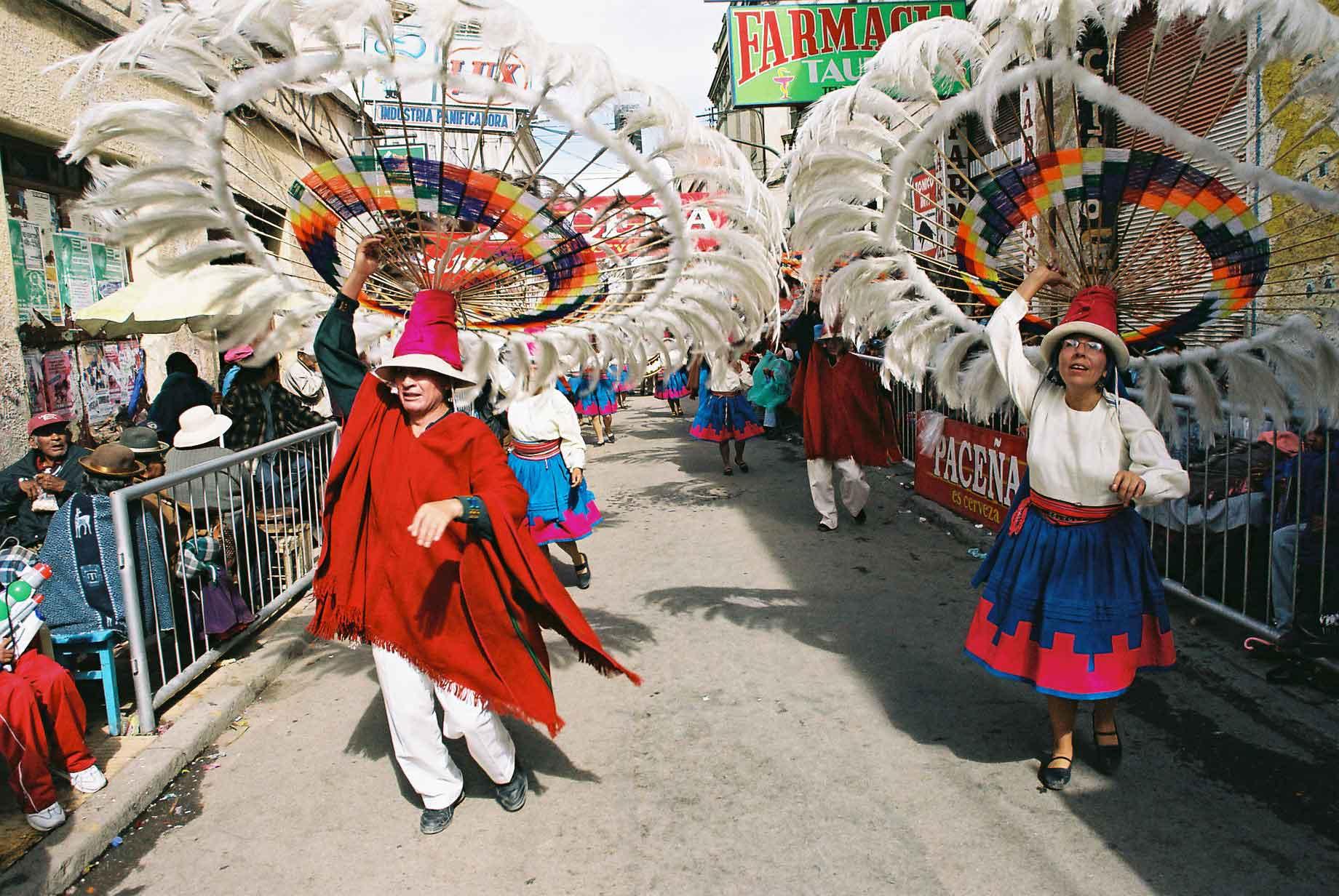
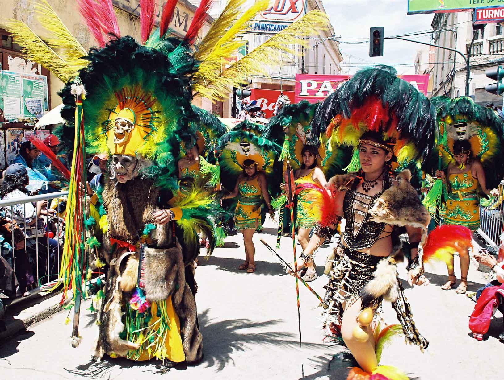
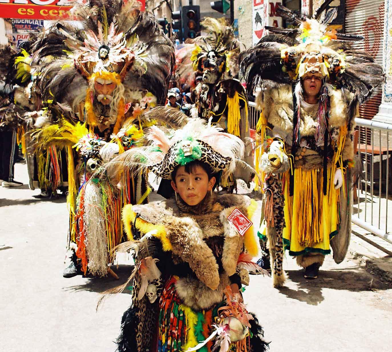
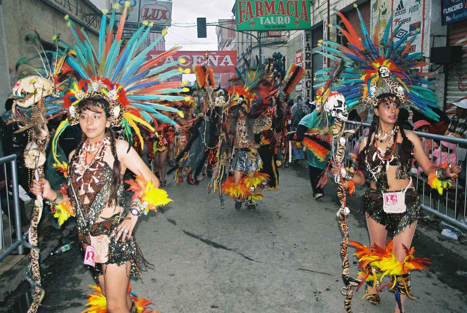
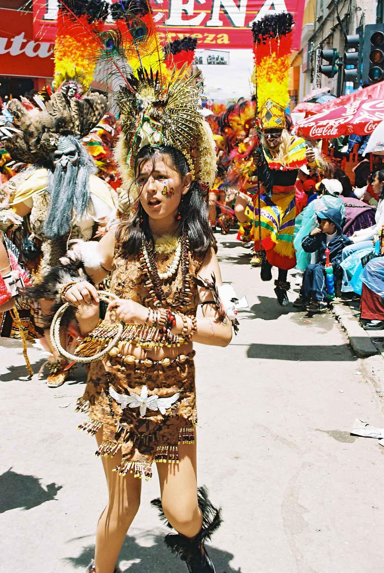
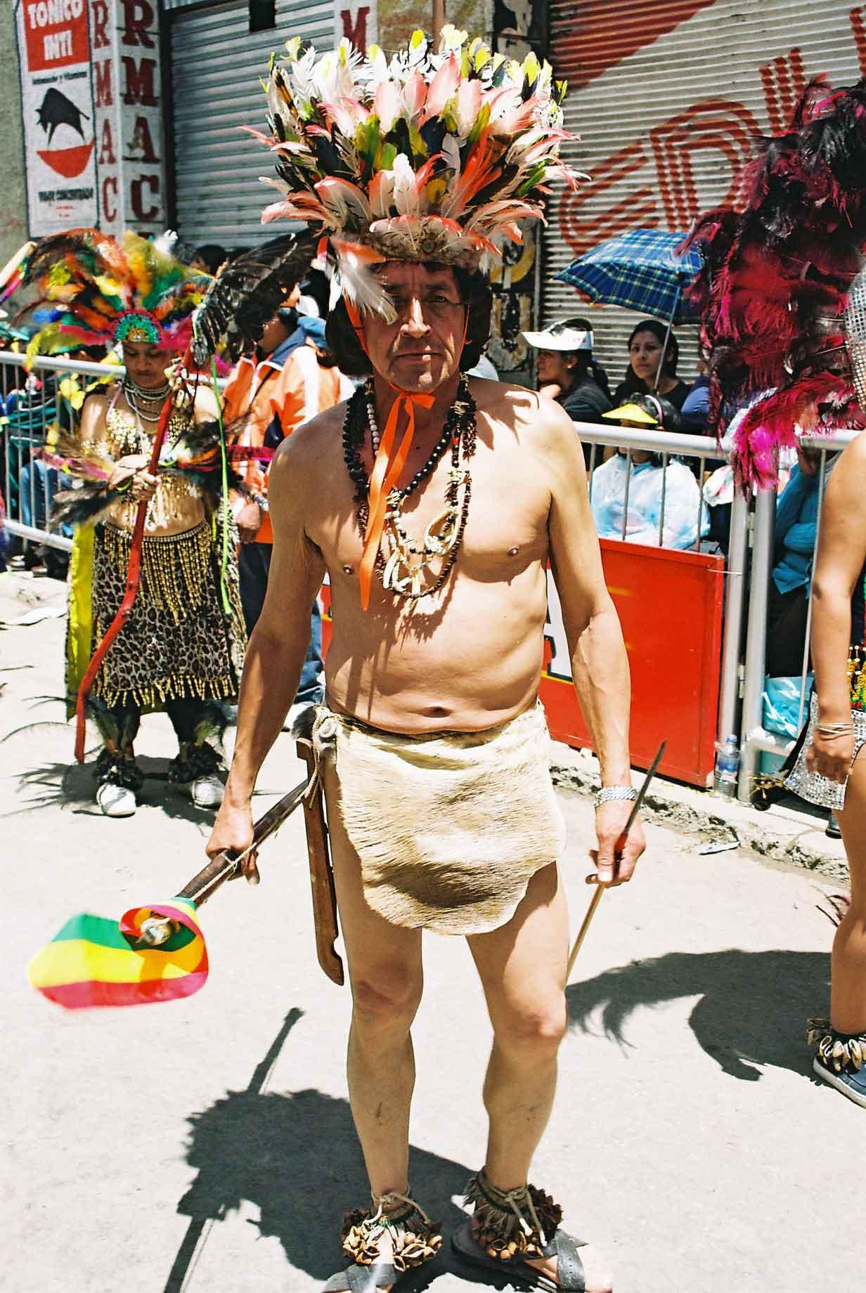
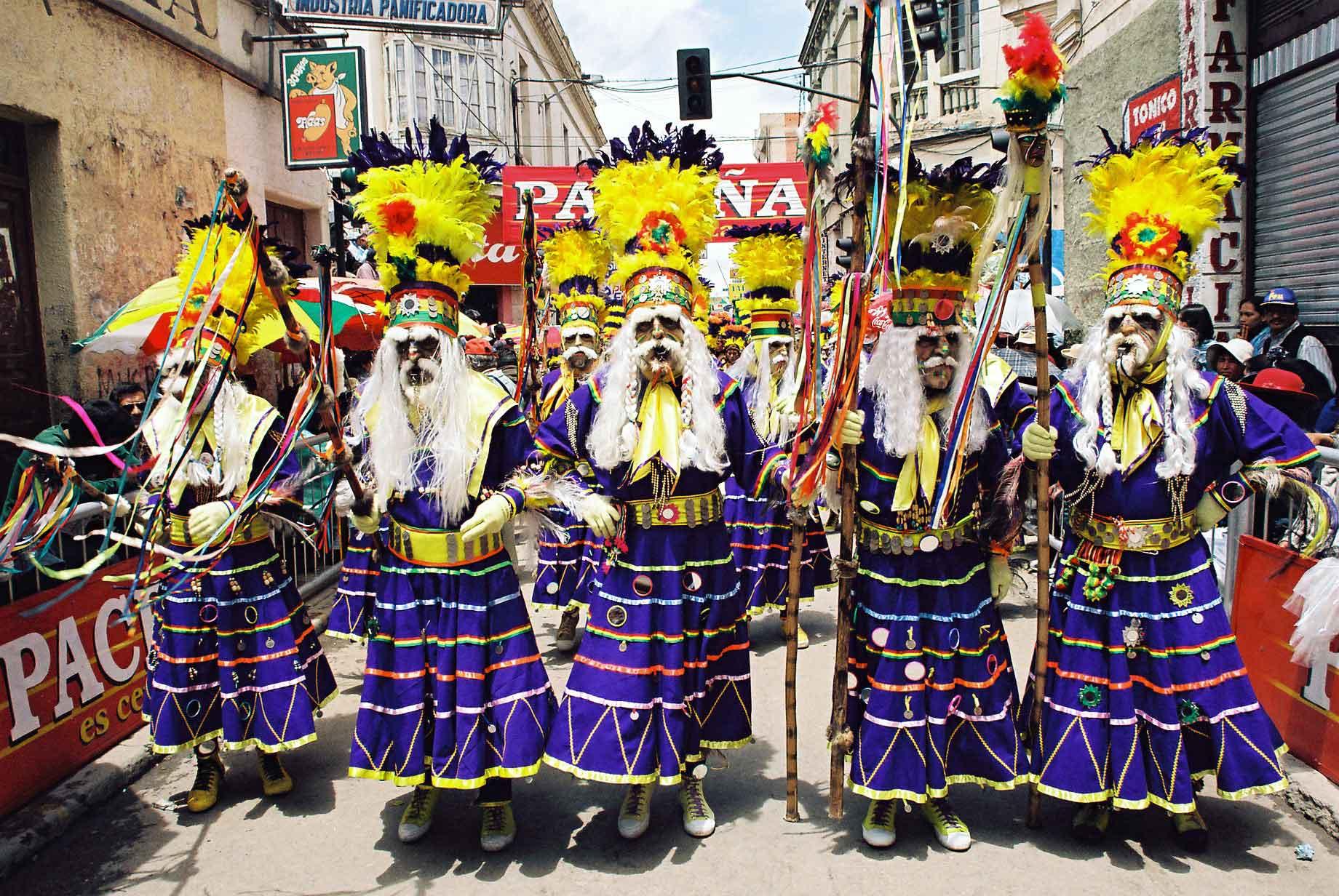
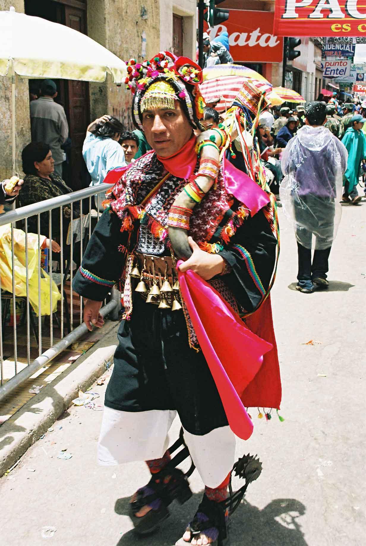
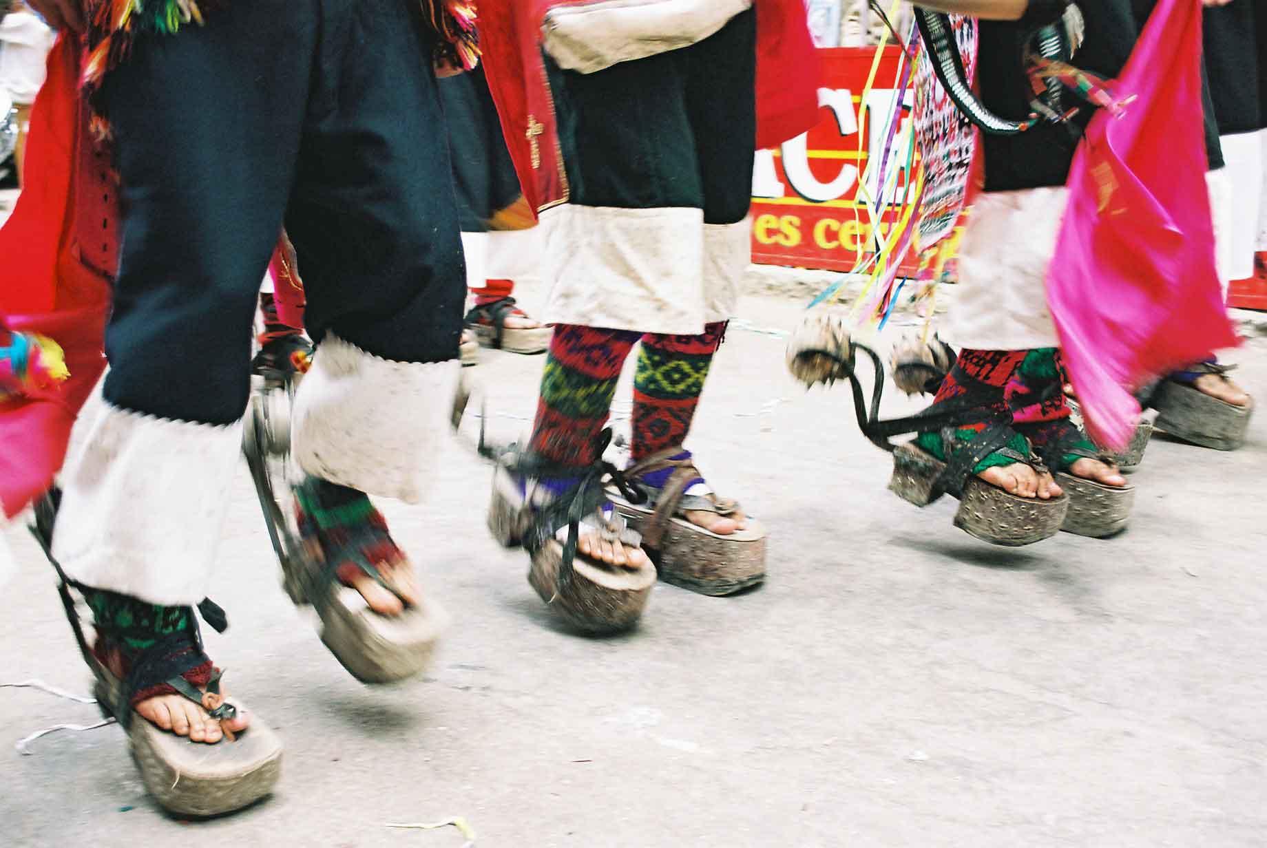
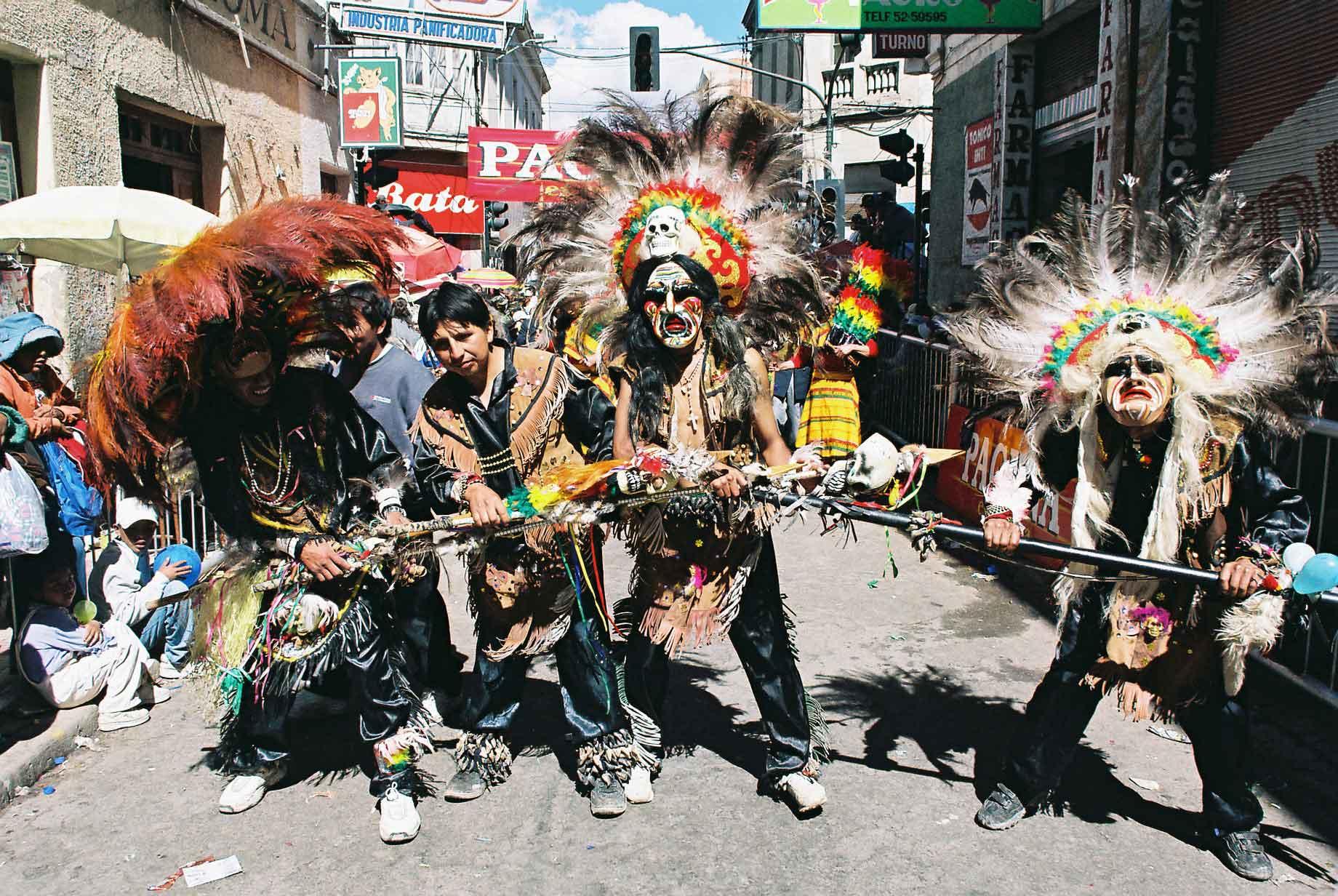
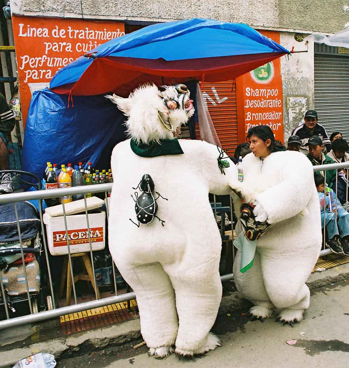
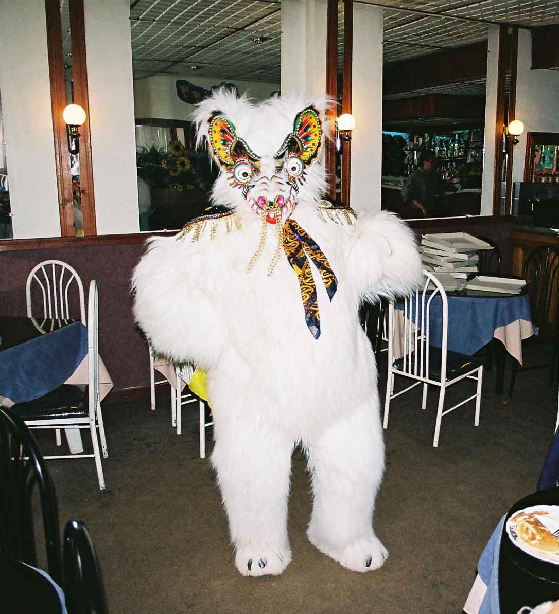
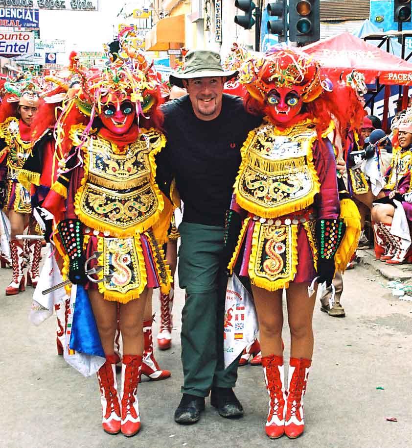
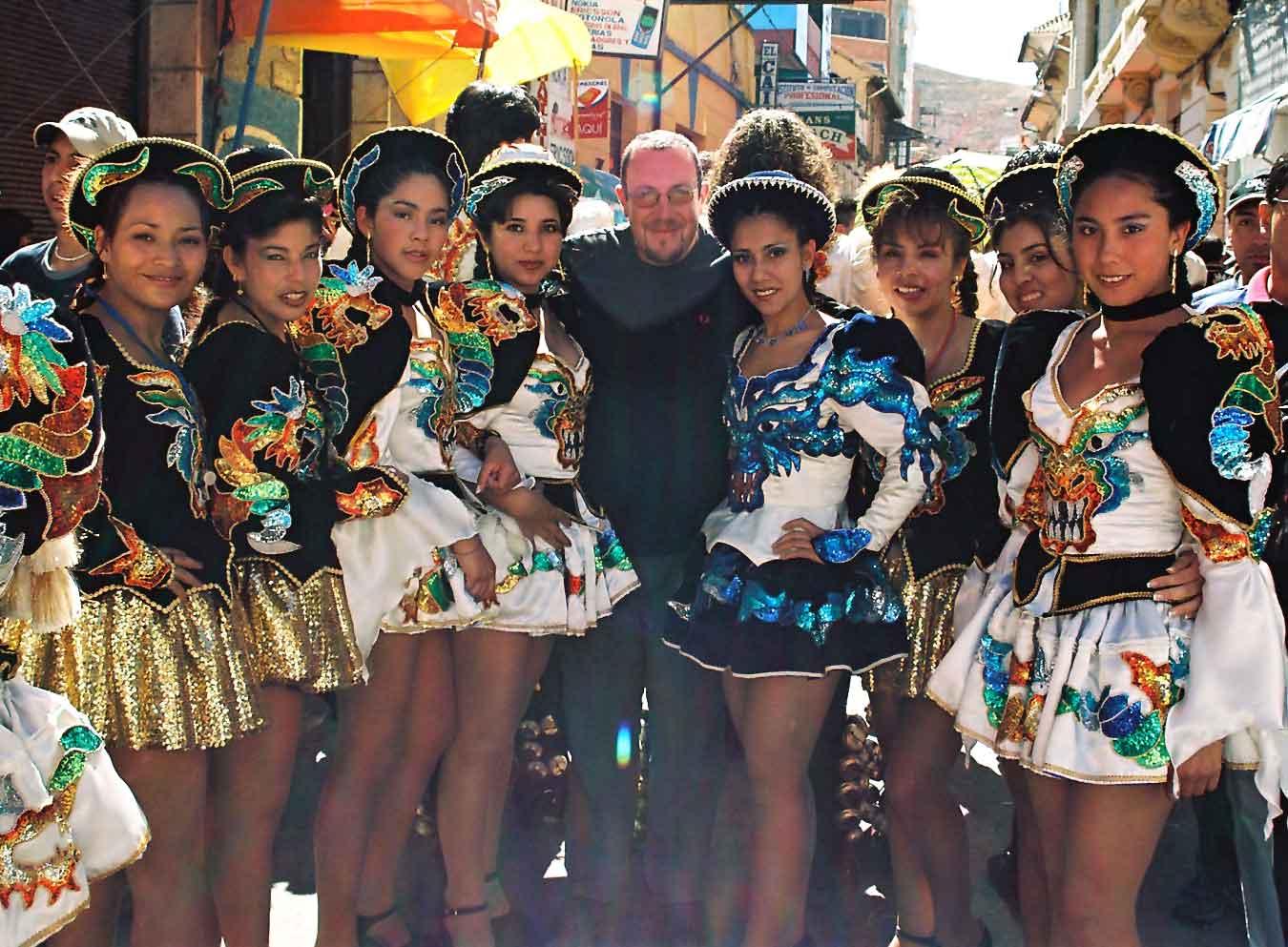
The carnival in Oruro is very famous across the continent, as still retaining a more genuine aspect. The people from all over Bolivia participate regardless of social level. It differs significantly from its more famous Brazilian cousin, for this reason and also as the sponsorship is so low key, often limited to a name on the drums of the accompanying band. There is a lot of symbolism in the carnival, with certain standard types of costume and dances. The Diablada is the most famous part, with a representation of St. Michael beating the devil. There are also the Morenos, representing the African slaves who were imported and subsequently perished in the mines, due to the altitude and other factors. The course runs for several kilometres and takes about five hours to complete, dancing and wearing heavy costumes and / or playing musical instruments. Considering the altitude (3,700) this is really quite some feat and the participants actually rehearse for months in advance. The participants vary in age from the very young to the extremely old, all performing with unsubdued gusto. It was also nice to see a number of good looking women out prancing and dancing. I got to participate a bit of dancing, as I was invited into the procession and taught the moves en route. During the festivities, the spectators bombard each other with foam and water, which can be a bit overwhelming.
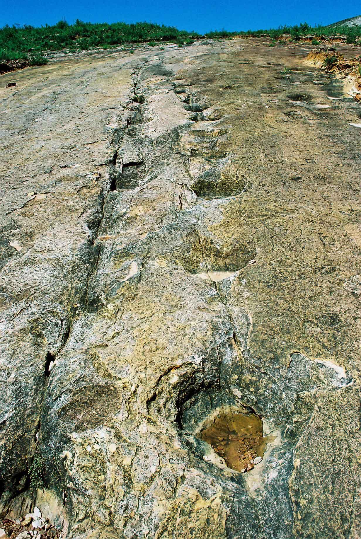
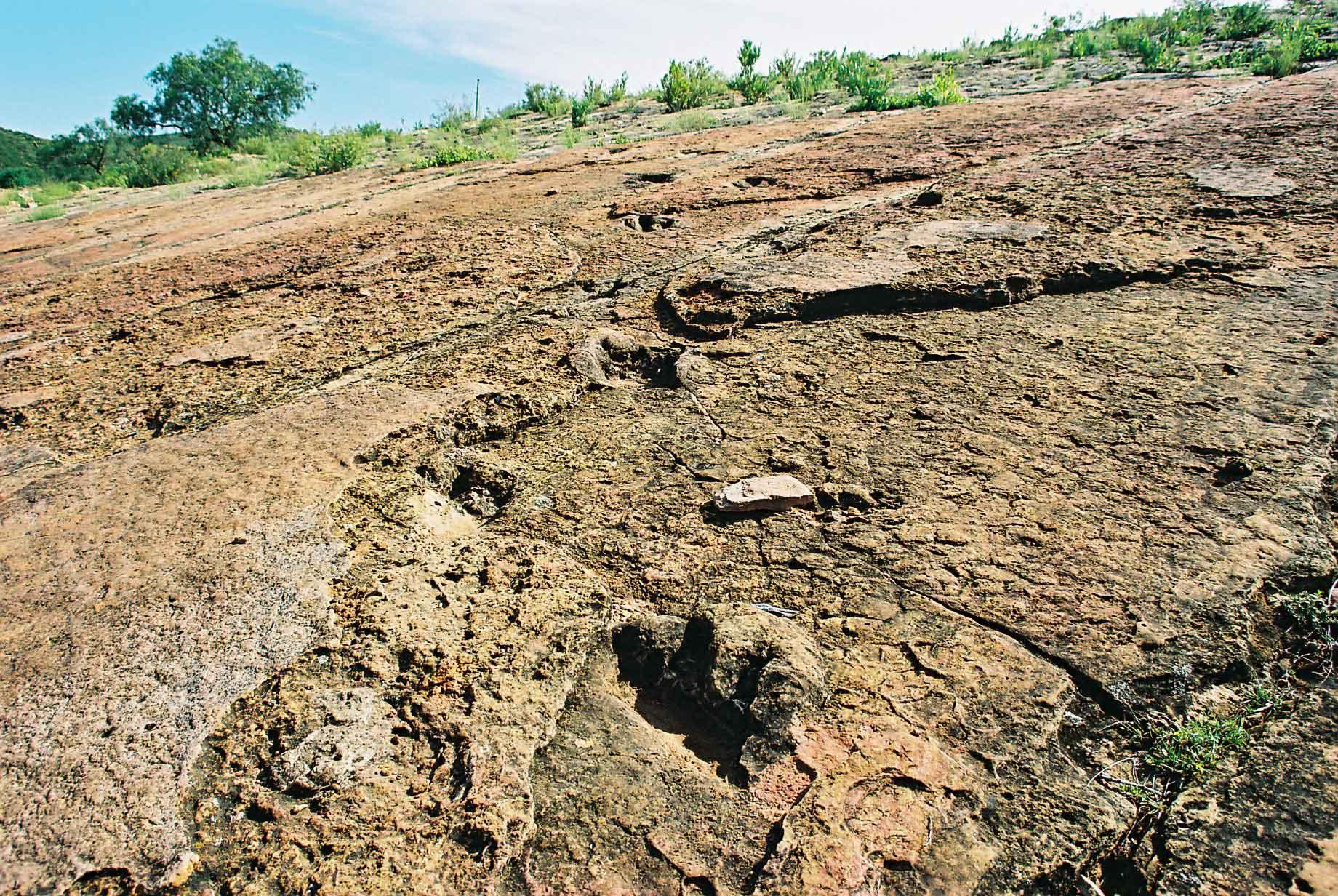
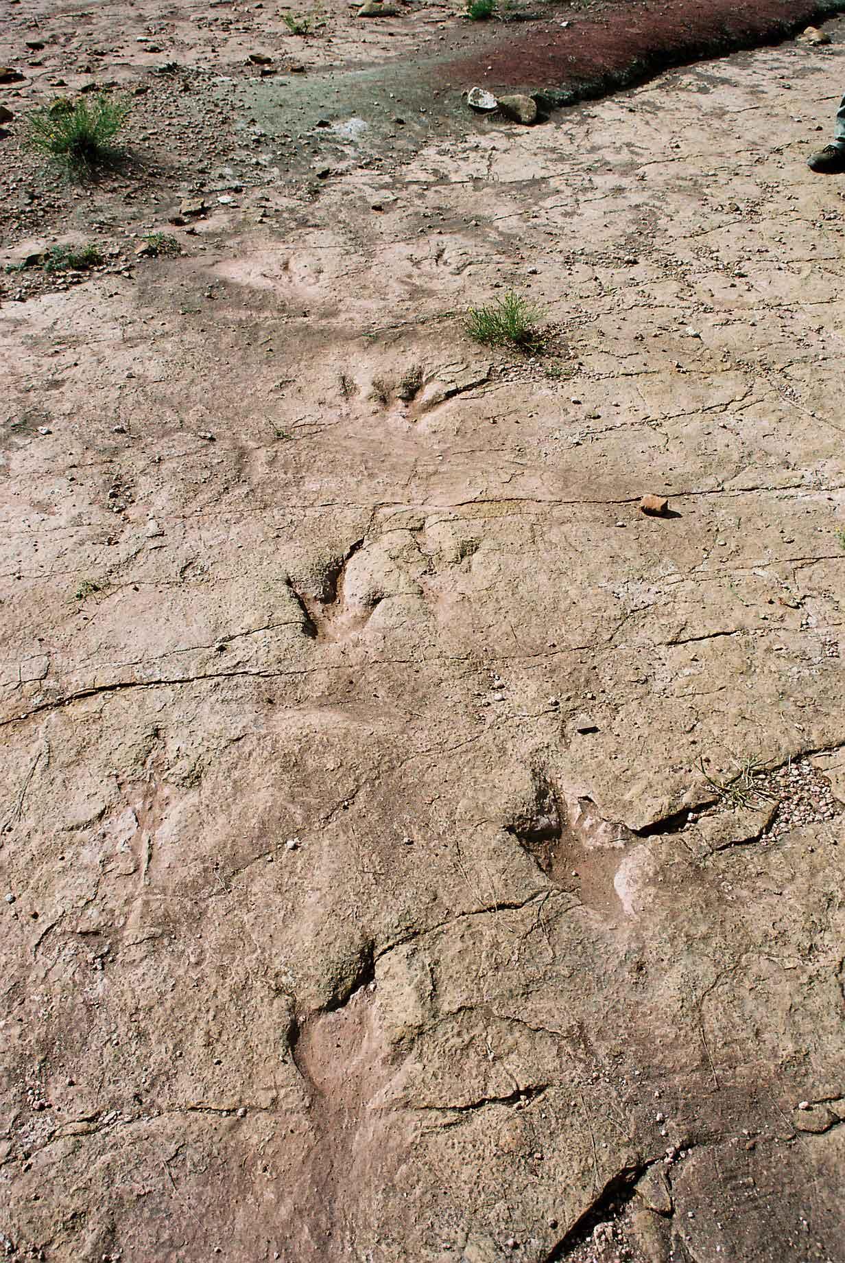
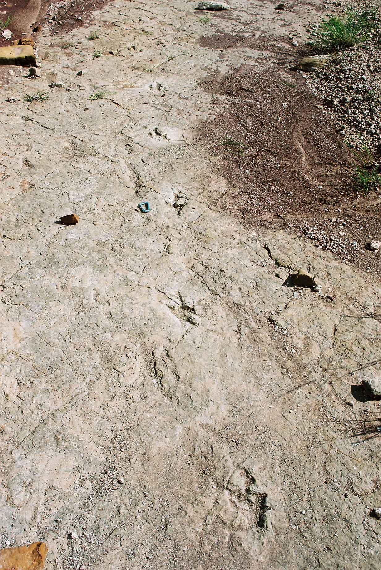
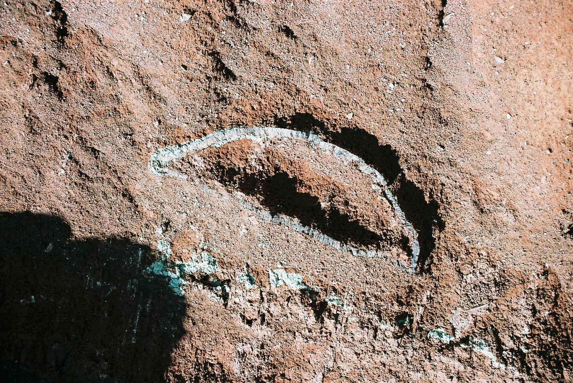
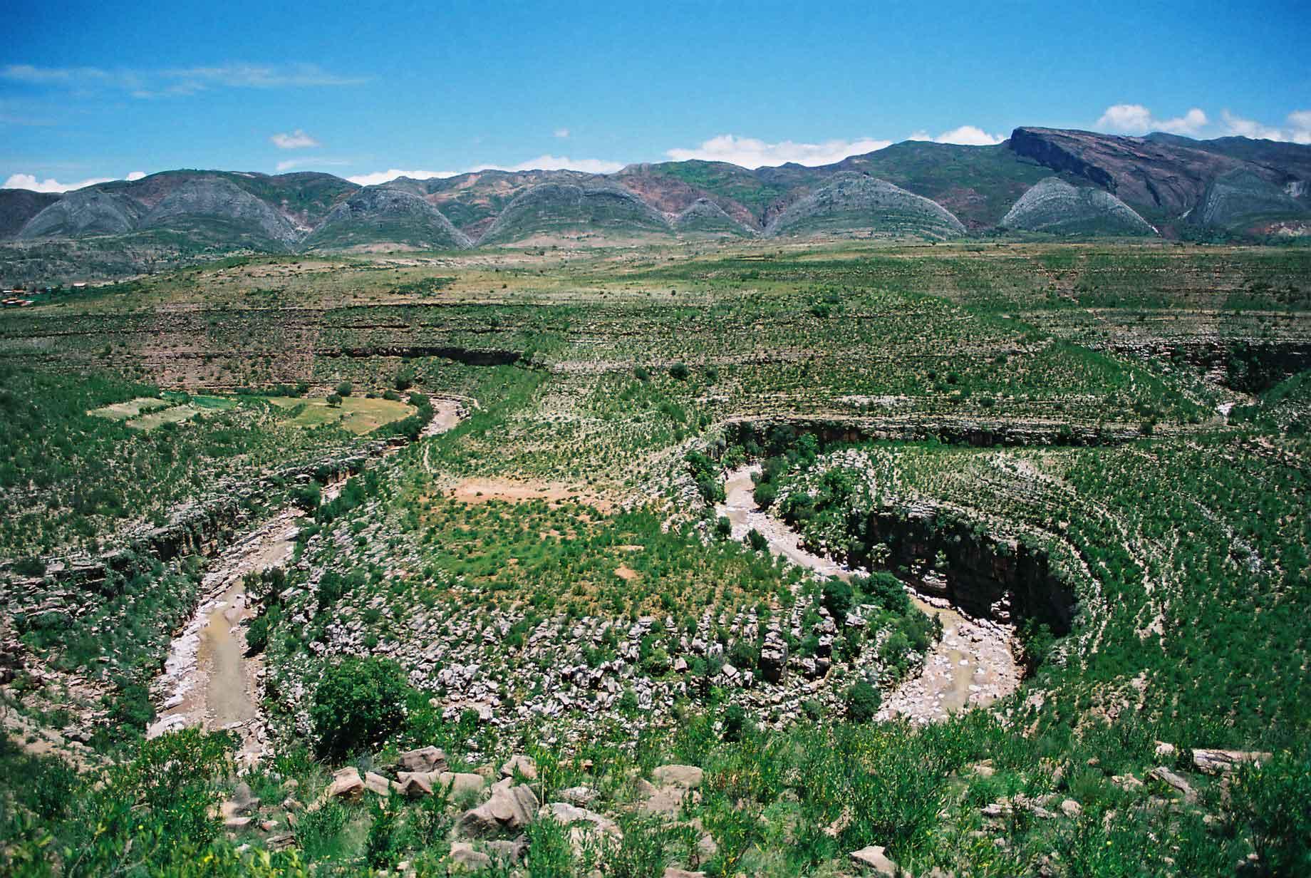
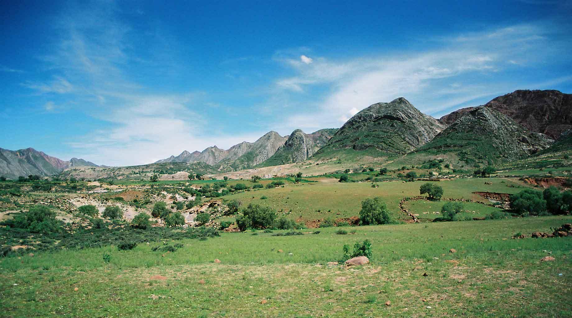
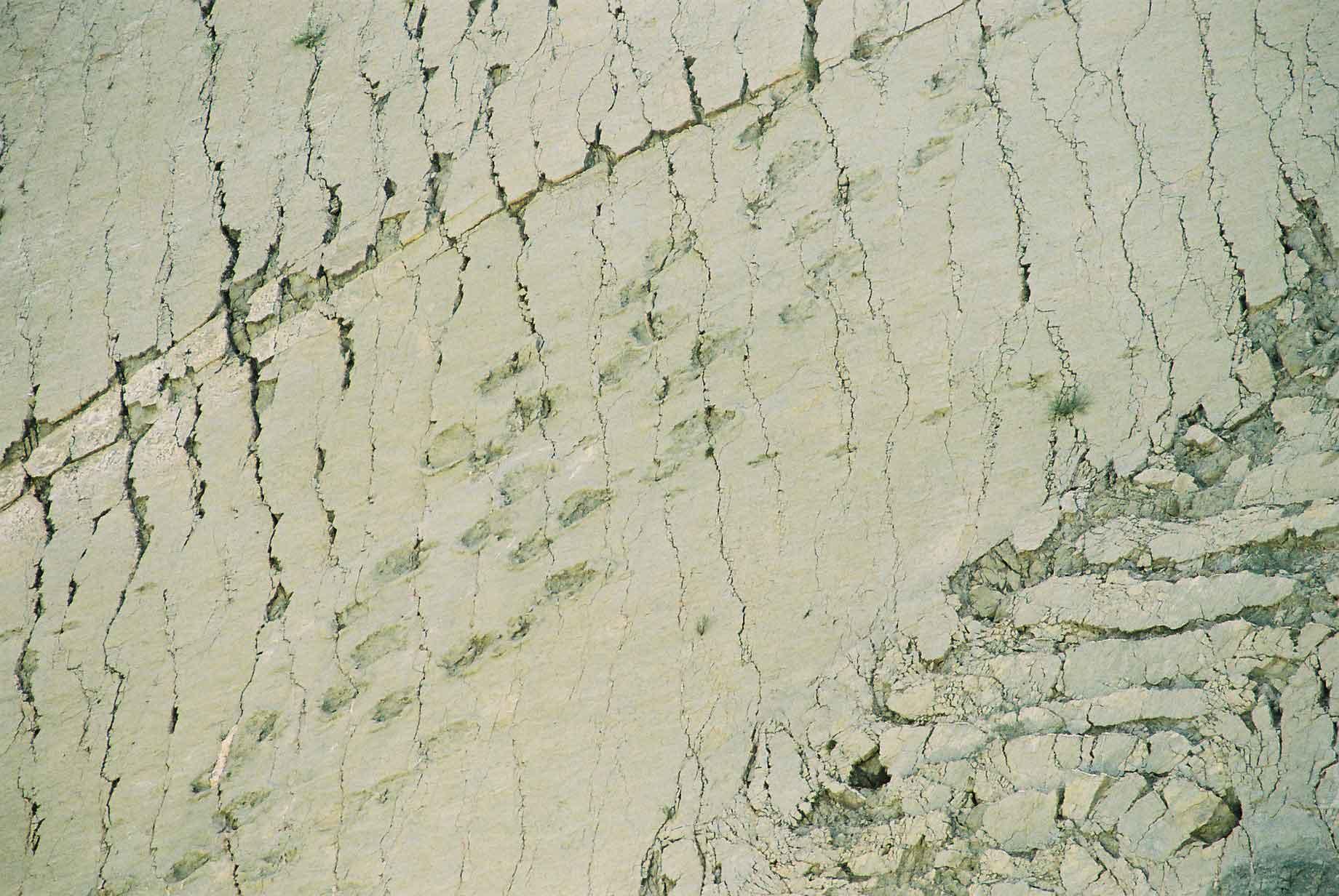
Torotoro National Park is very difficult to get to, as there are only two buses a week, but it is well worth it, for the views and for the paleontological delights on offer. There are dinosaur tracks from various species, including veloceraptors (photos 4-6), sauropods, ictheosaurus (photo 3) and carnosaurus (photos 1 & 2). There are also some fifty-million year old turtle shells (photo 7). In one place there are tracks where a veloceraptor mother and young were clearly walking alongside each other. The largest prints are about sixty-five centimetres across and the animal that created these prints was probably about eighteen metres long and four metres high (photo 3). I put a climbing caribena in several of the pictures to help with scale.
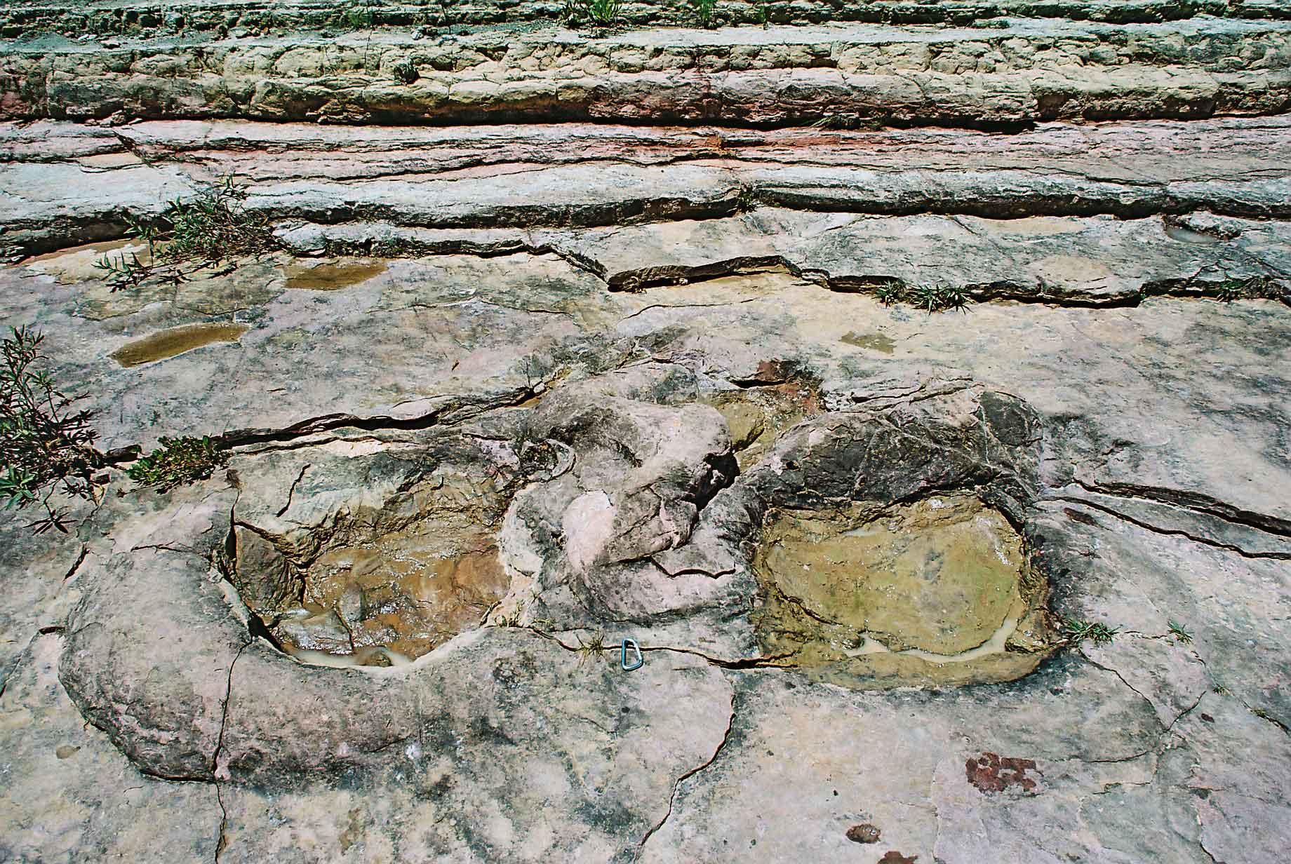
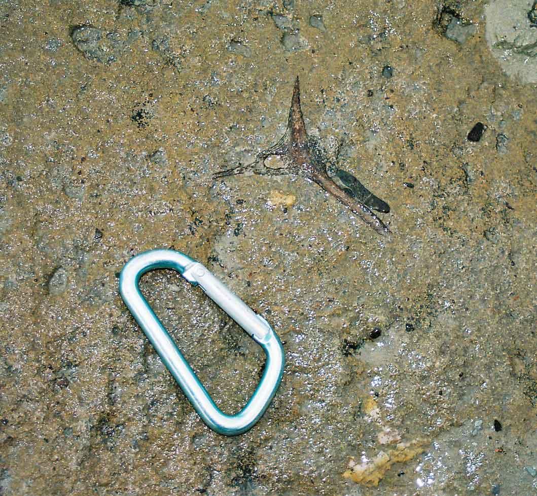
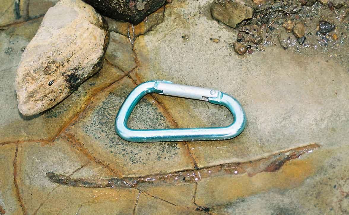
On the way back from looking for some fossils with my guide Mario, I found an almost perfect vertebrae, encased in the bedrock (photo 1). Nearby Mario found what looked like a claw (photo 2) or similar and we also found some prints that looked unlike the typical reptilian prints one sees. Geeky as it may sound, it was all great fun, to find something that hasn't seen for sixty-million years.
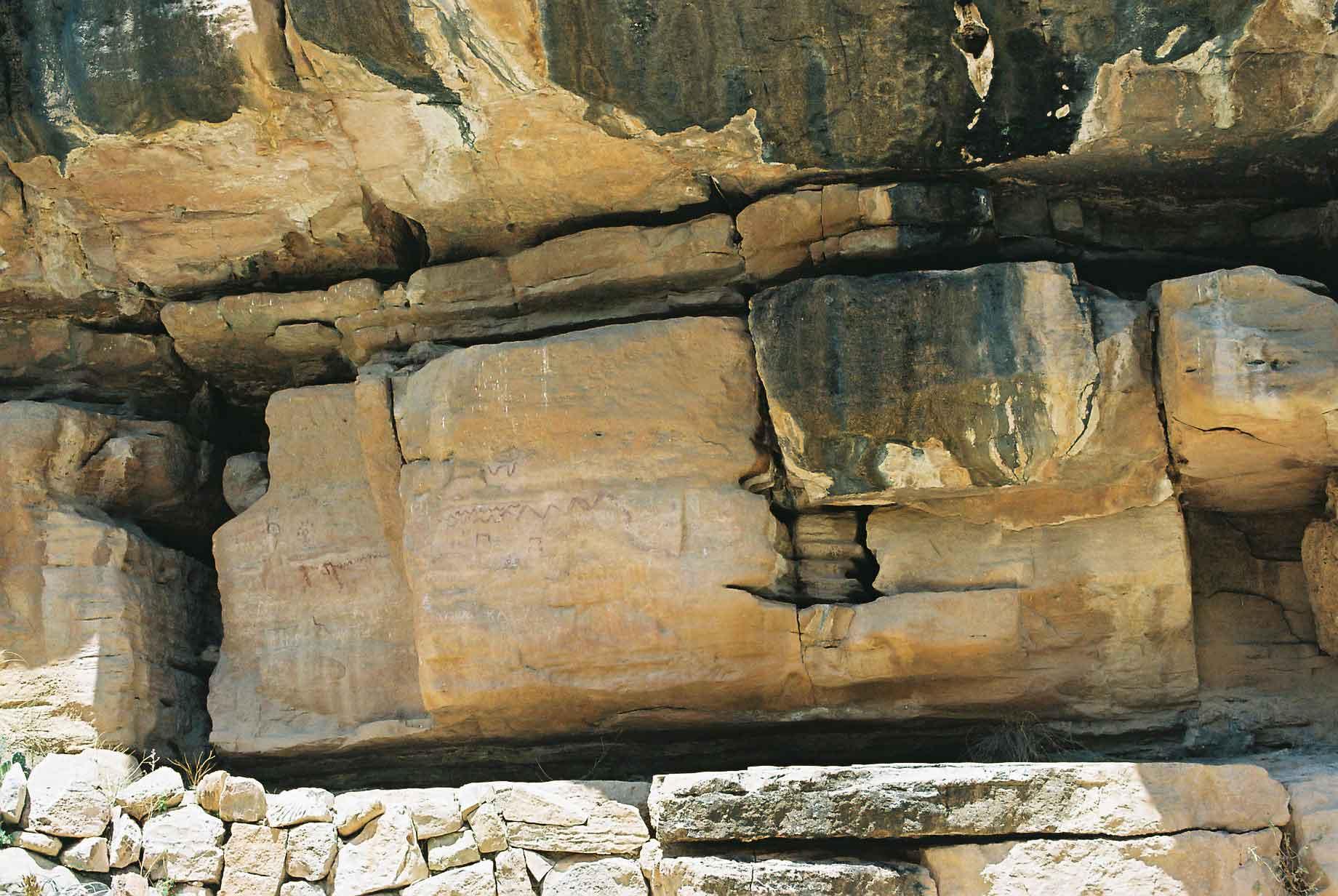
Also in the area are some rock paintings, estimated to be ten thousand years old, although no-one really knows. To be honest those artists weren't very good, although their paint seems to be better than anything produced by Dulux for longevity.
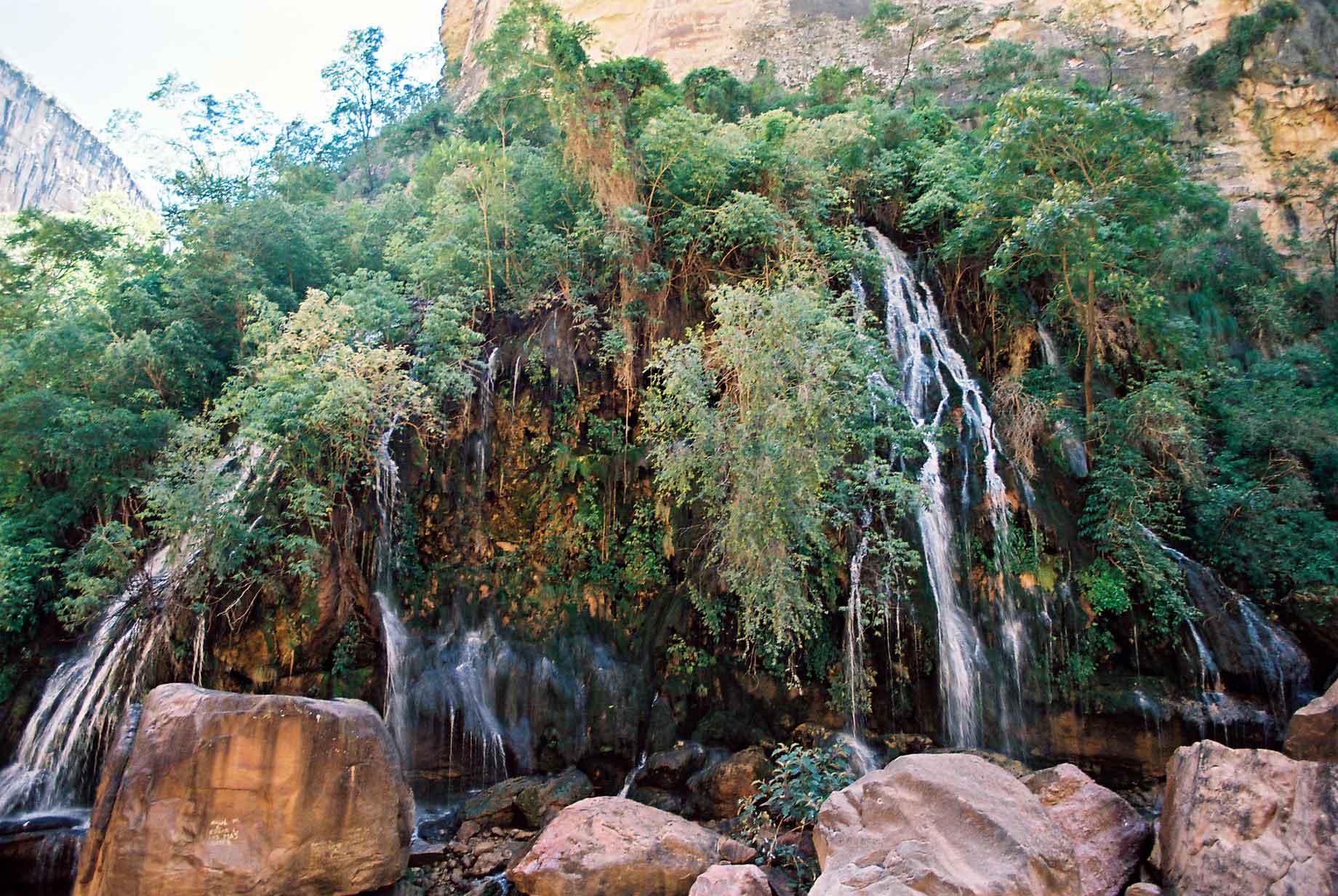
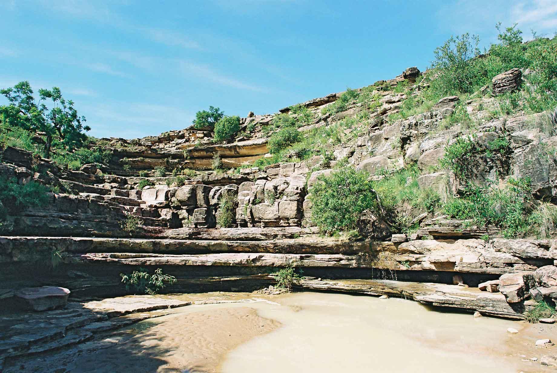
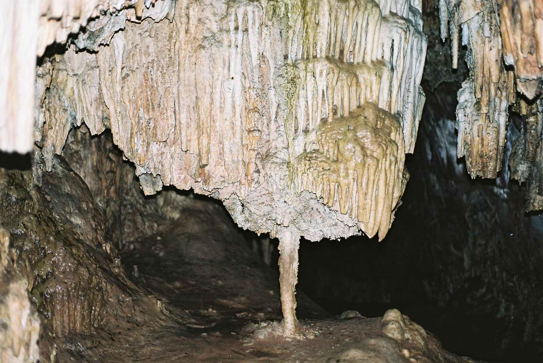
The views in the area are phenomenal and I did a bit of trekking there, saw waterfalls , natural bridges and did a bit of caving, where there were some nice stalagmites and stalactites.
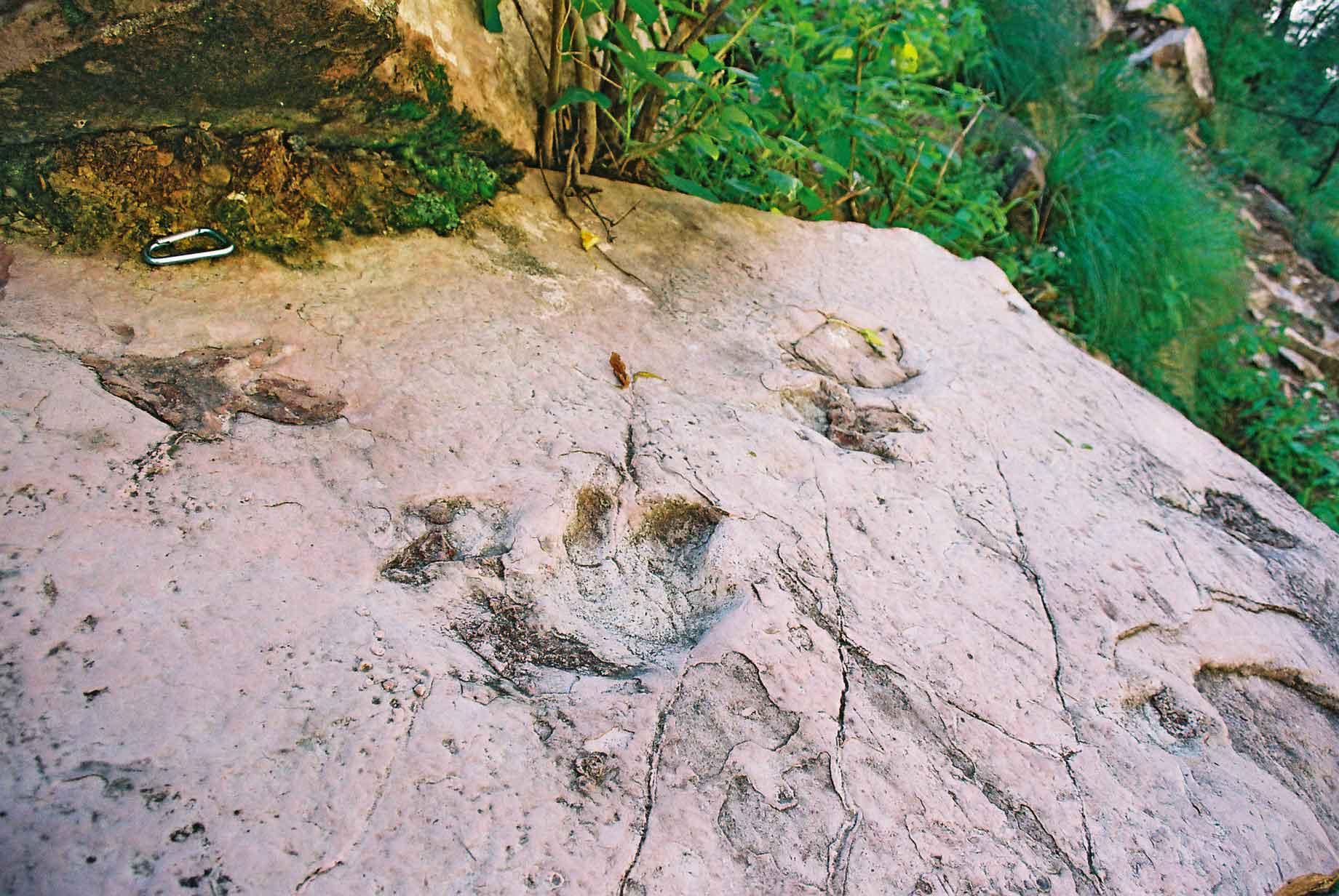
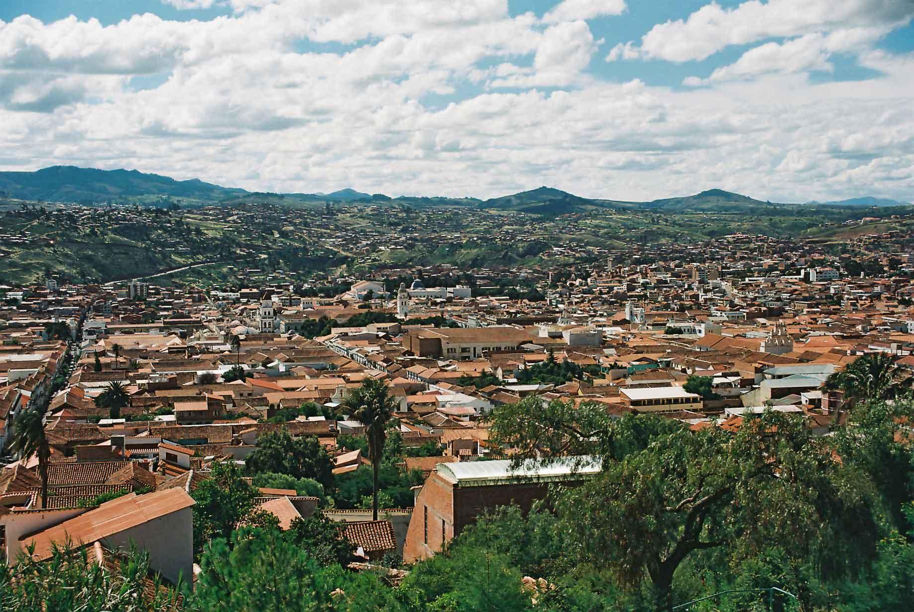
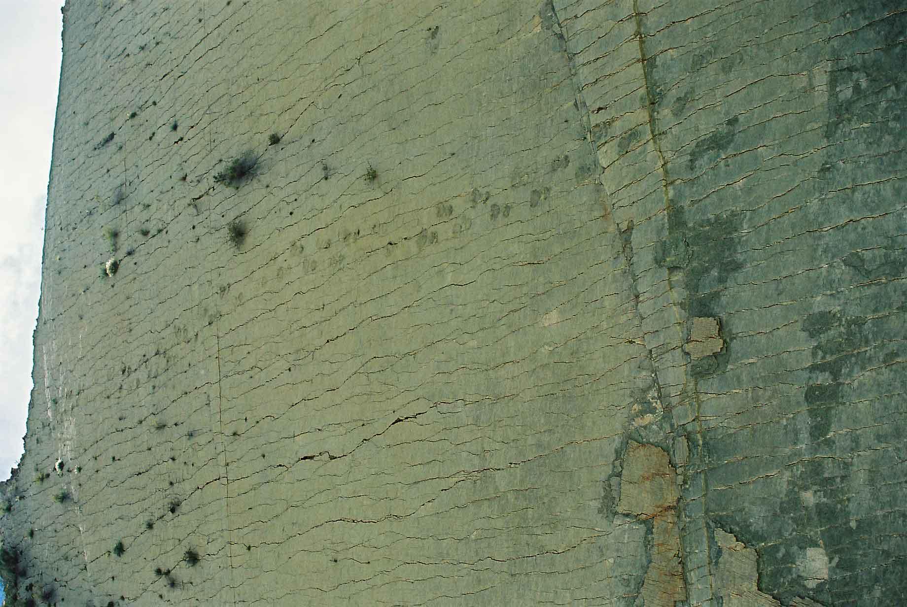
Sucre is actually the capital of Bolivia, not La Paz as many people think. It is sometimes called the White City because of its whitewashed centre. Although seen from above, it doesn't look so white (photo 1). Nearby at a cement quarry some impressive dinosaur tracks were founds (photos 2 & 3). Due to folding the tracks are now on a vertical piece of rock. The continuing work at the quarry means that the tracks are likely to be destroyed within a few years.
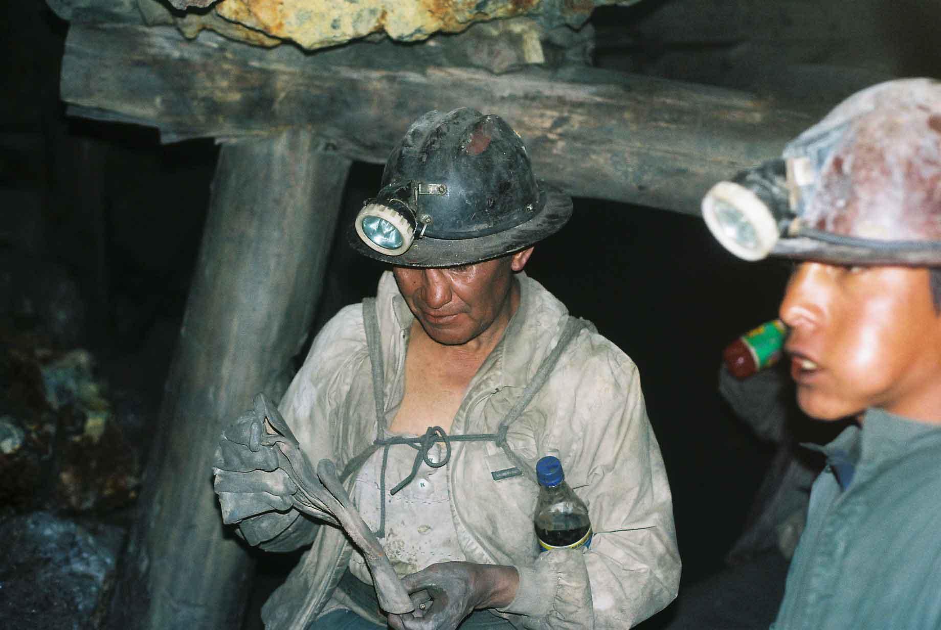
Potosí is allegedly the world's highest city at over 4,000 metres above sea level. The city itself is nice, although walking around can be exhausting due to the altitude. Above the city is Mt. Potosí, which has been mined since pre-colonial times. I went in the mine to see the conditions and practices. The miners are organised in co-operatives that are self-financing. The co-operatives share any profits between the members, this usually amounts to 3-5 US Dollars. Men, women and children as young as twelve or thirteen work in the mines and legend has it that enough silver was taken from the mine to have built a bridge all the way from Potosi across the Atlantic to Spain.
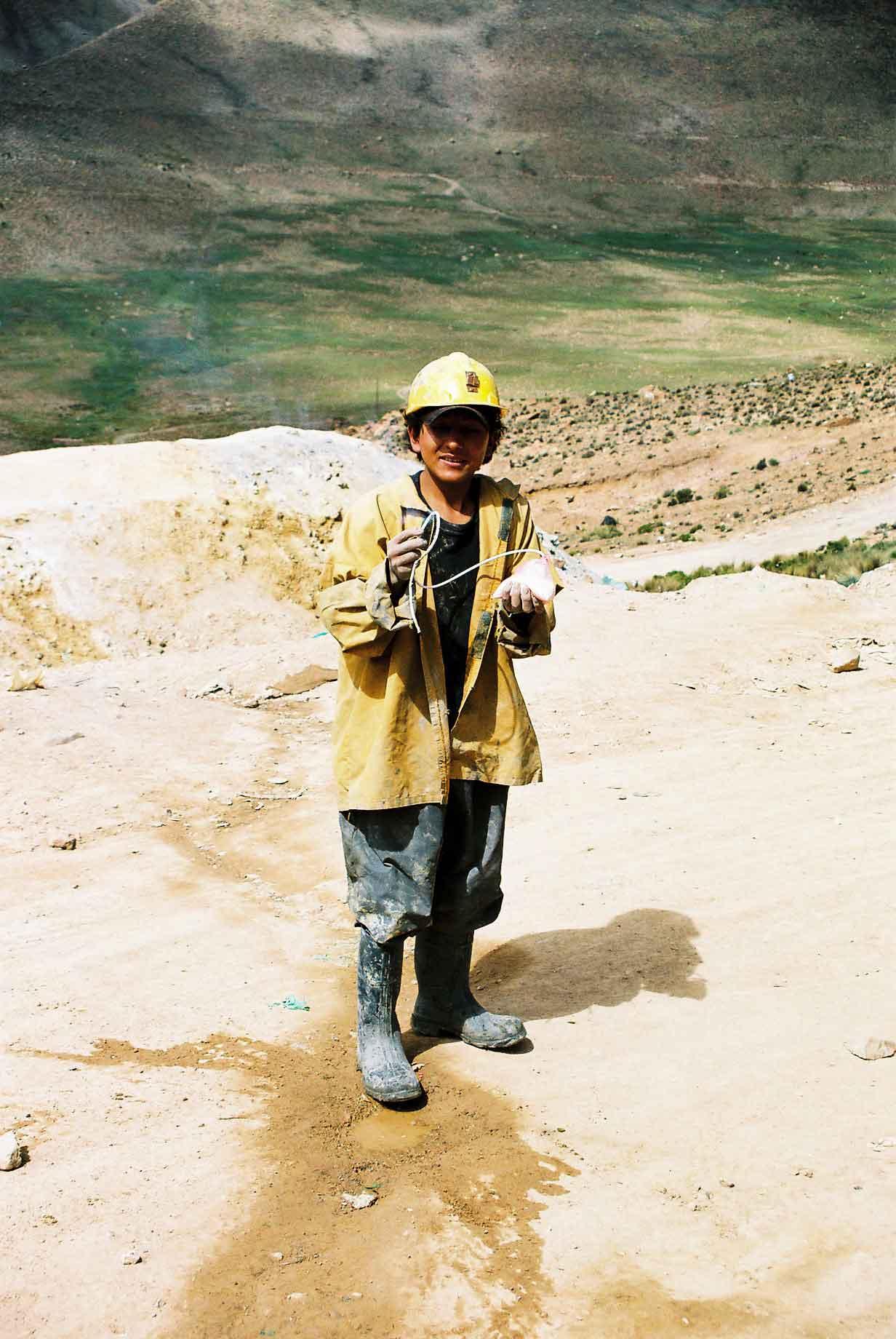
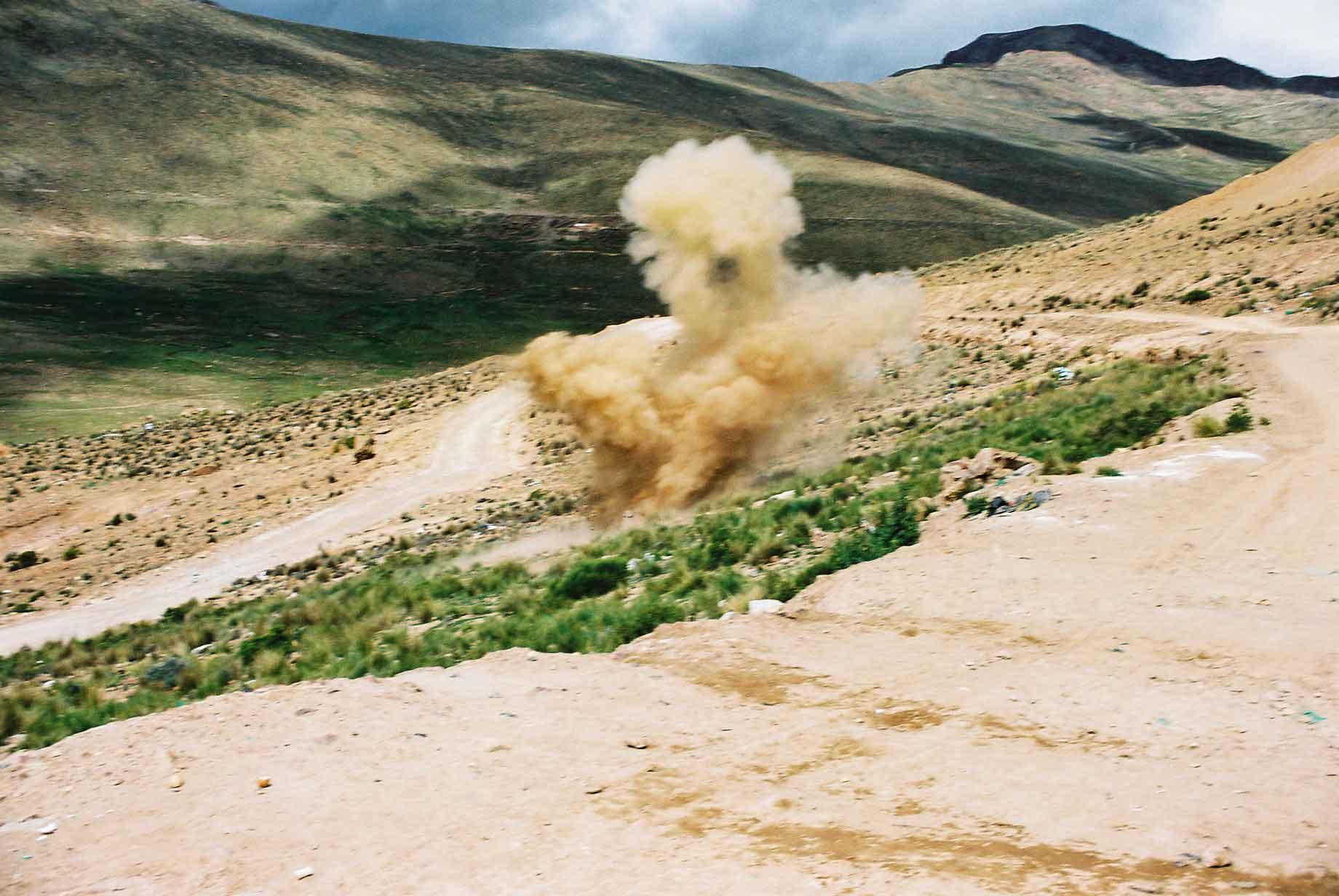
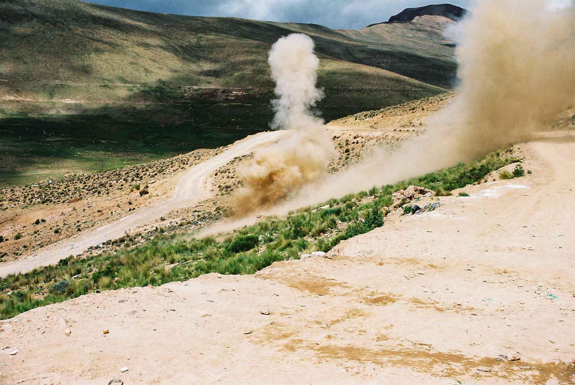
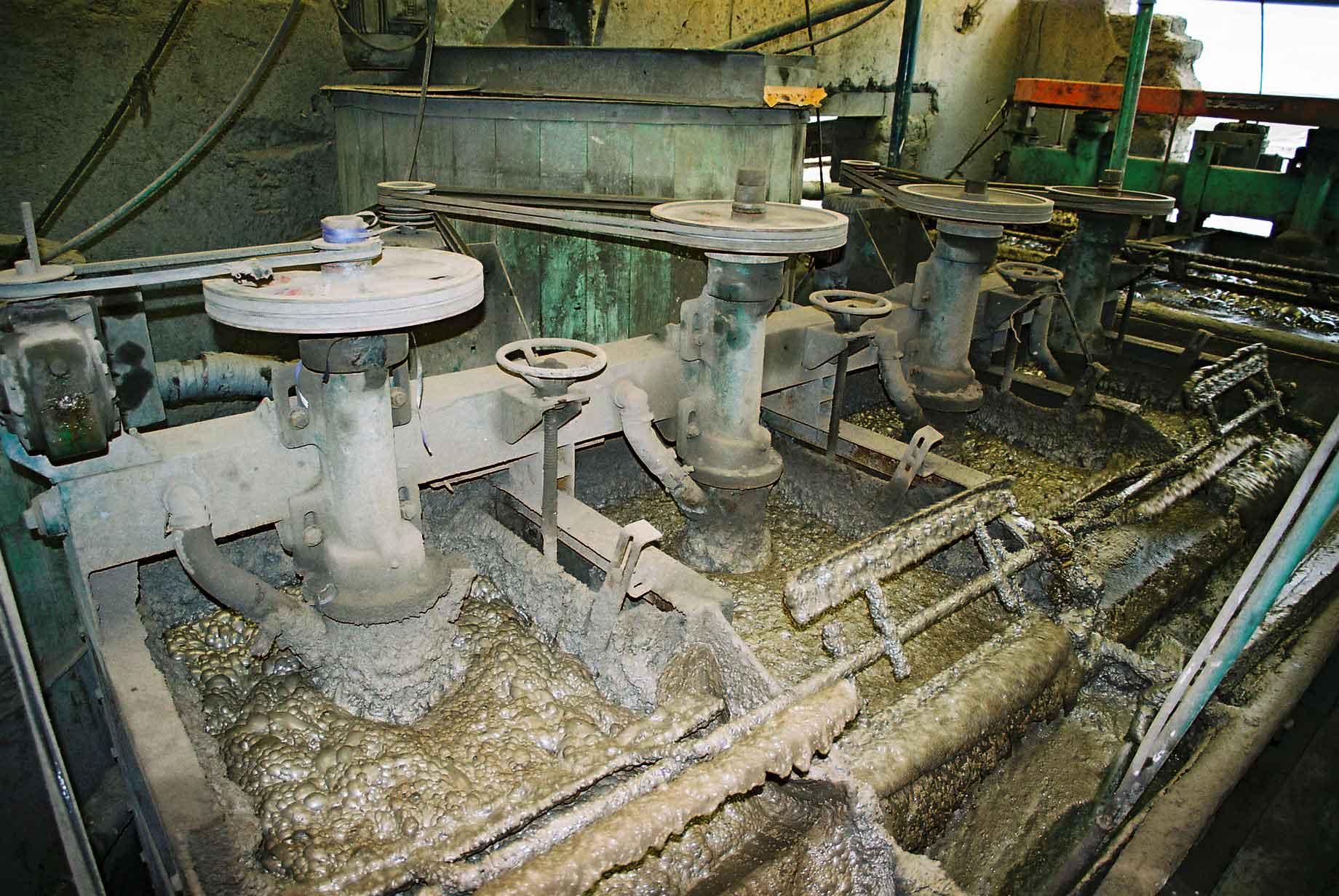
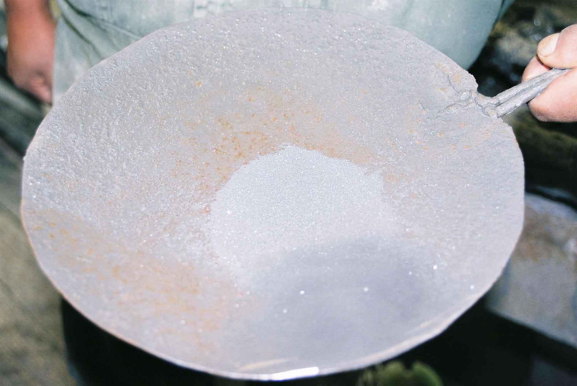
The majority of the miners are late teens to early thirties, with a high rate of attrition due to illness, injury and death, as well as the comparative appeal of other work. The majority of the miners will chew coca leaves whilst they work. This helps with the altitude, as an appetite suppressant and as a mild stimulant. Most miners would admit that they would be unable to work the long hours in the oppressive conditions of heat, coupled with a lack of oxygen due to the depth of the mines and their altitude. The miner in the first photo was unusually old, being in his fifties. The bulge that can clearly be seen in the mouth of the miner on the right is the Coca he has been chewing. We had a demonstration of how a dynamite charge is made and the bang it creates. Firstly a teenage miner put the bits together (photo 2) and then lit the fuse before putting it some distance away. The explosion was deafening and the cloud of dust it created impressive (photos 3 & 4). The miners are no longer looking for nuggets but simply excavate the rock, which is carted out and taken to one of several privately owned treatment plants. There it is treated with various noxious chemicals (photo 5) and the muck is removed leaving a mix of various metals and minerals (photo 6). This is then exported to Chile where it is refined.
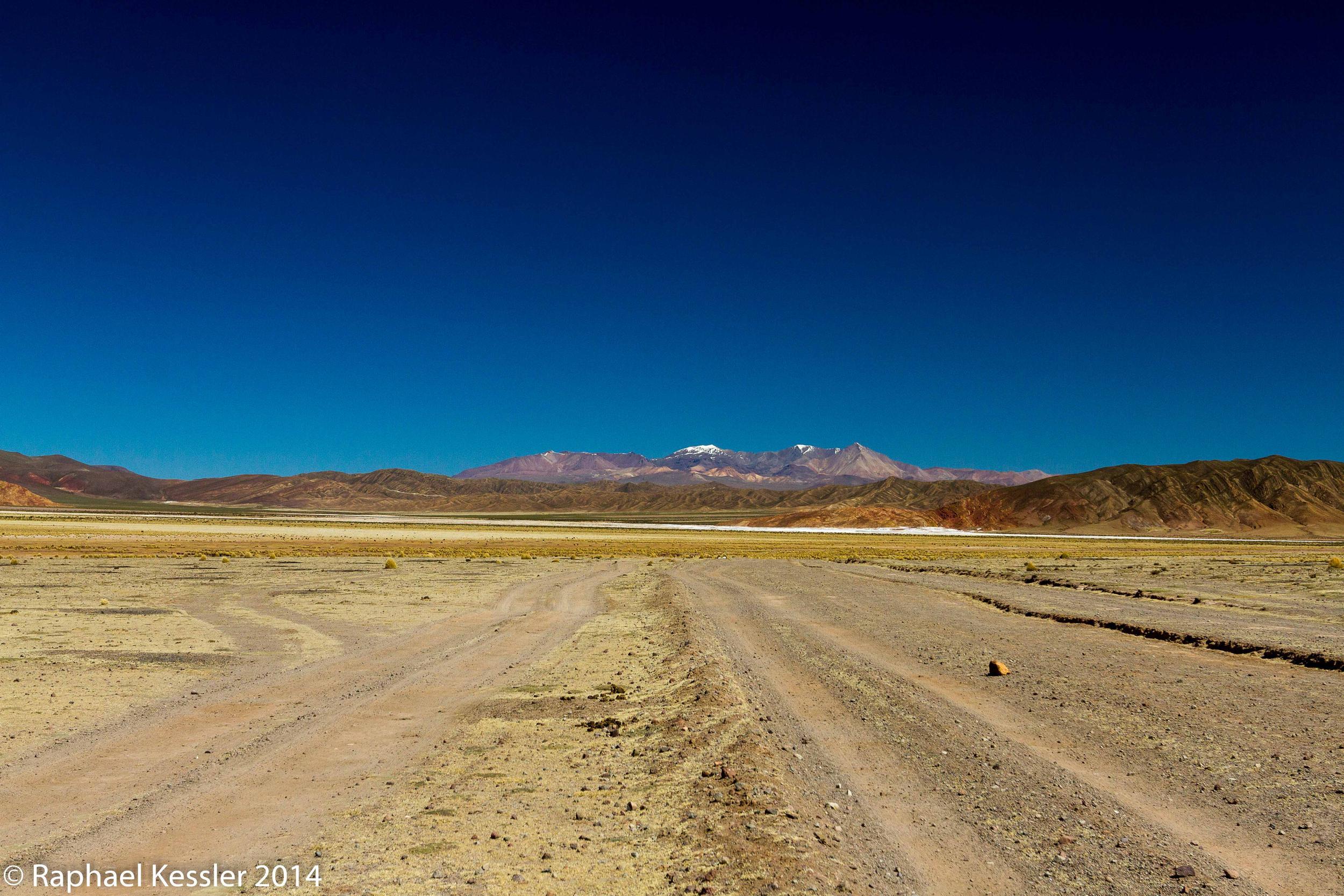
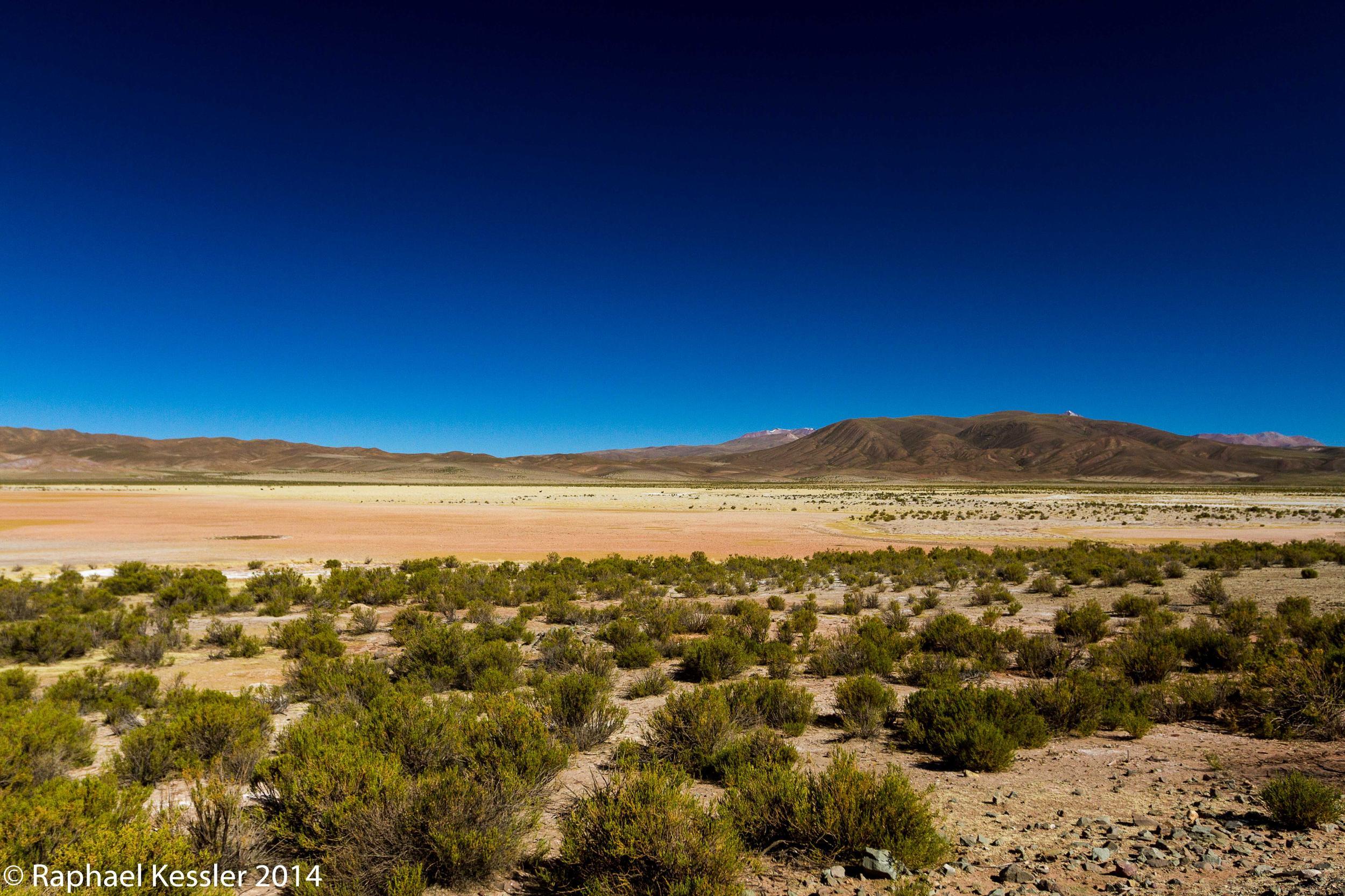
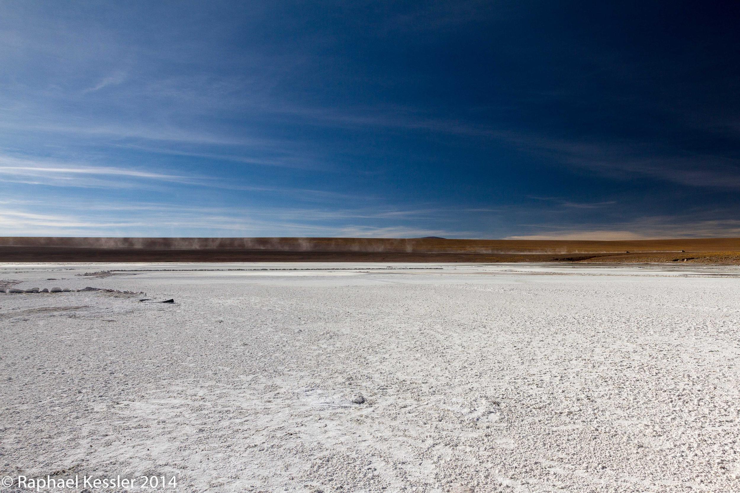
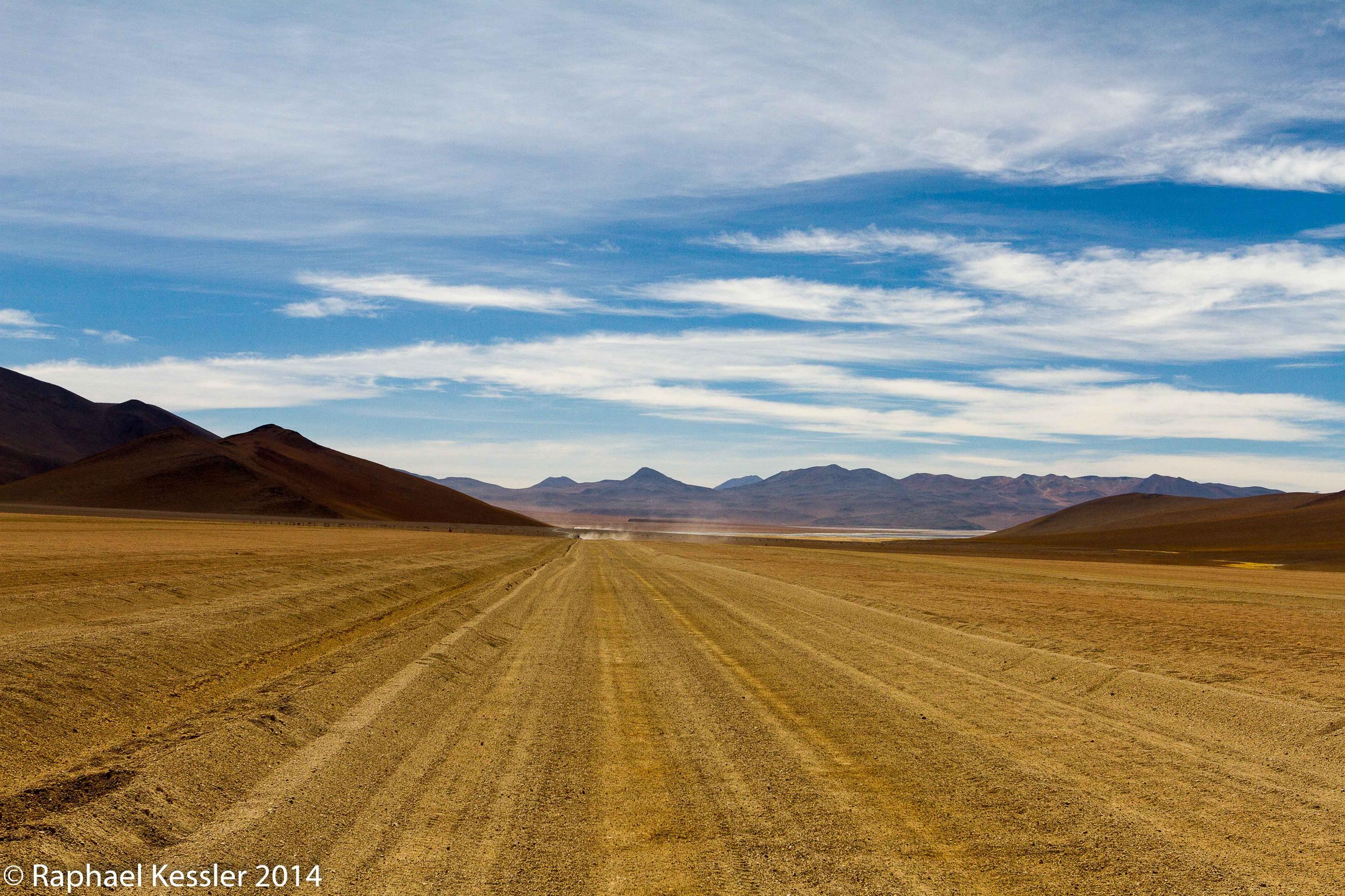
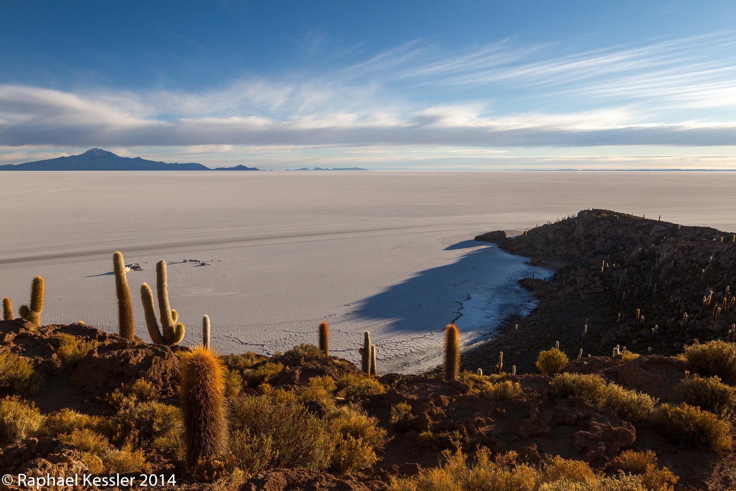
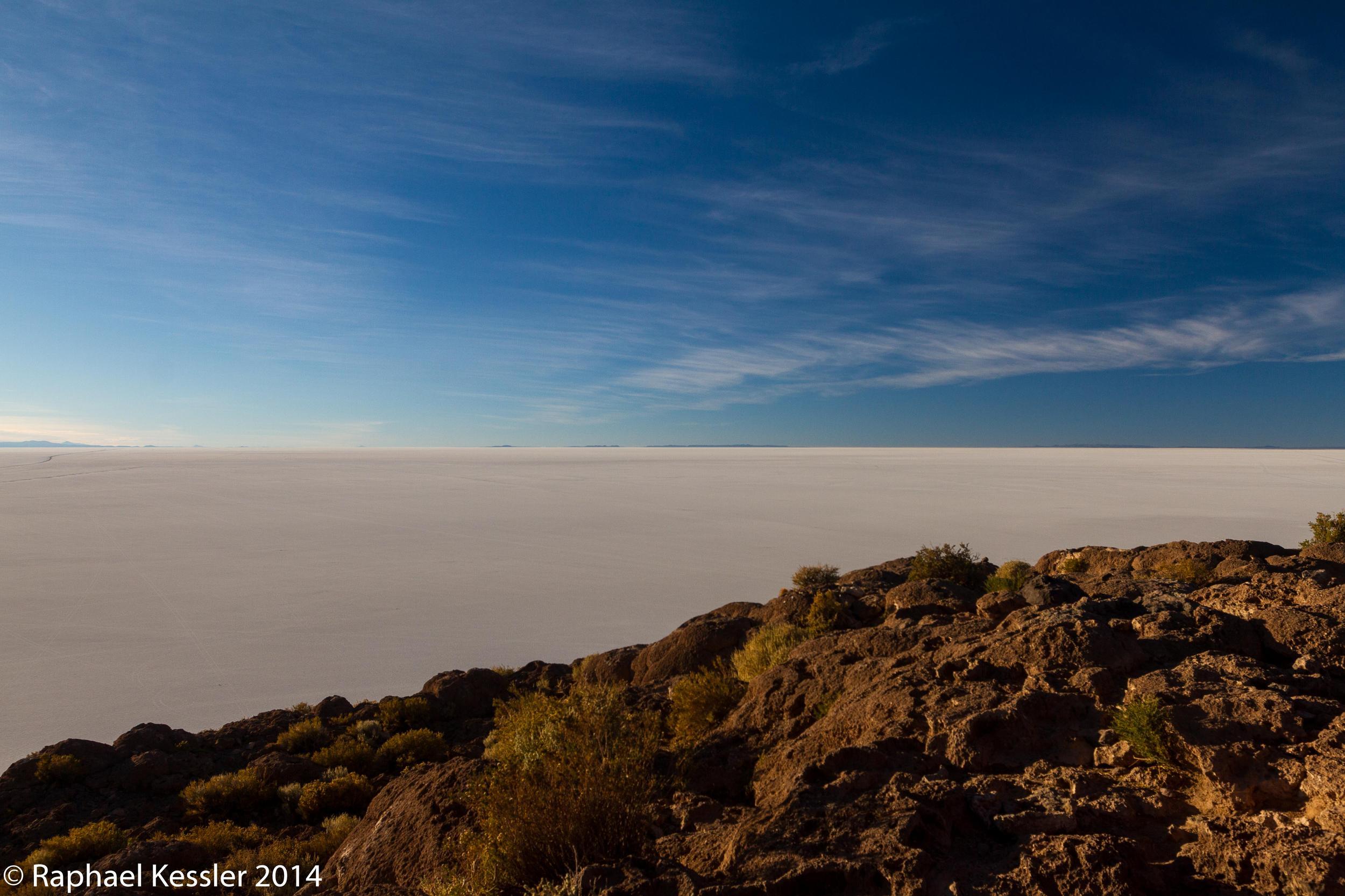
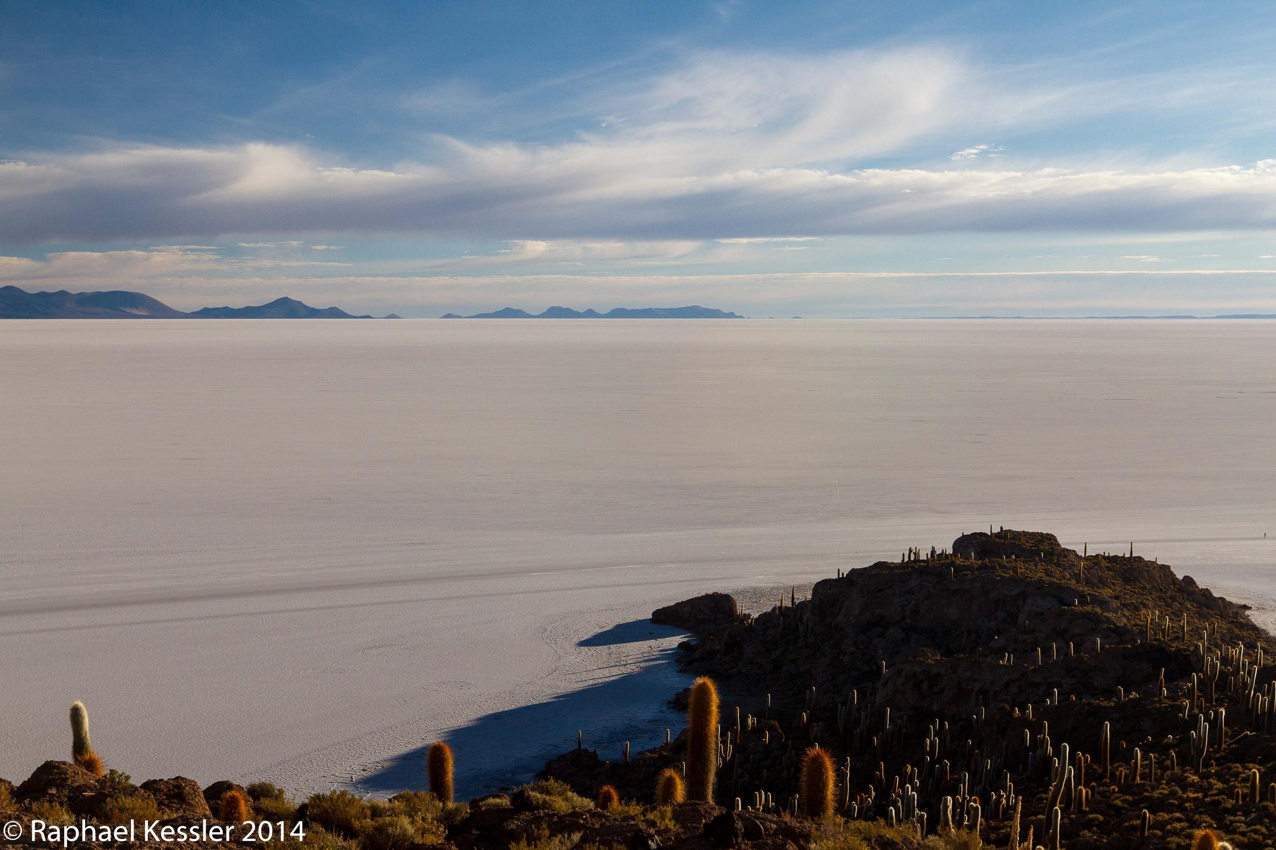
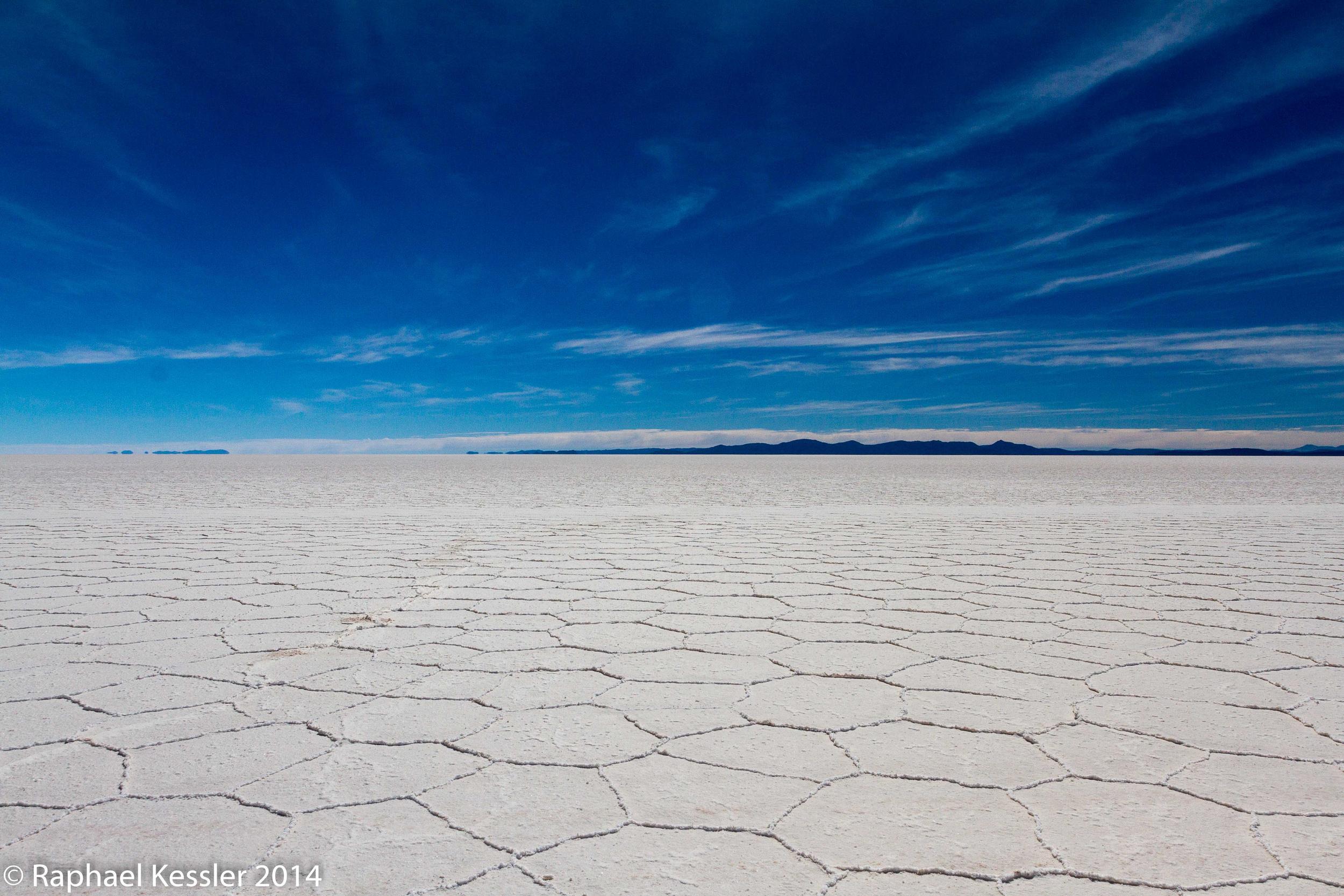
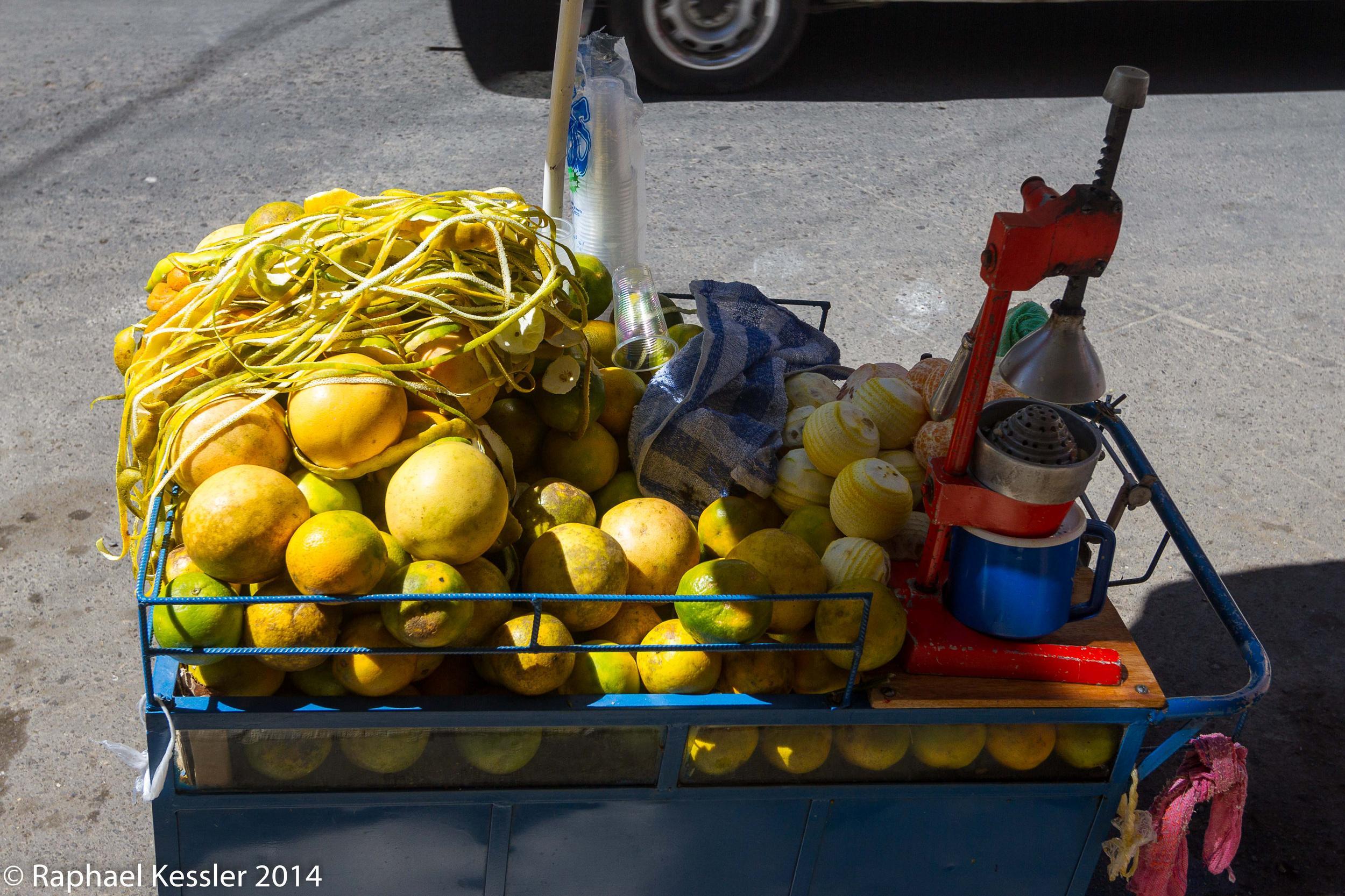
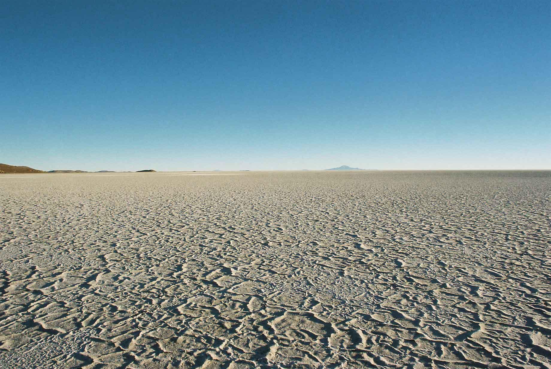
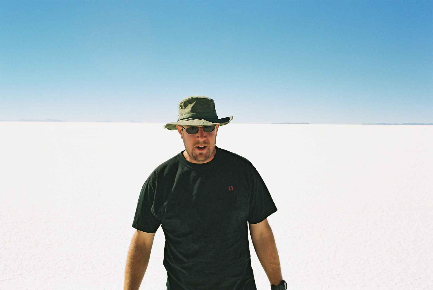
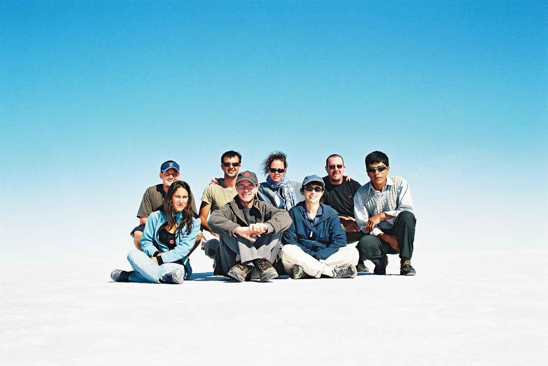
The Salar de Uyuni is the world's largest salt flat. Caused in prehistoric times when the area was formerly a sea. The tour through the Salar is a highpoint for many people's time in South America. I actually did the tour twice, just a couple of months apart. The first time I went from Tupiza and the second from San Pedro. I would certainly advise people to do the tour from Tupiza as one sees much more lovely scenery and far fewer tourists. The photos below are a mix from both times I did the tour, there are even a couple from my friend Micha's digital camera, which is why things might not look as uniform as one might think they otherwise would.
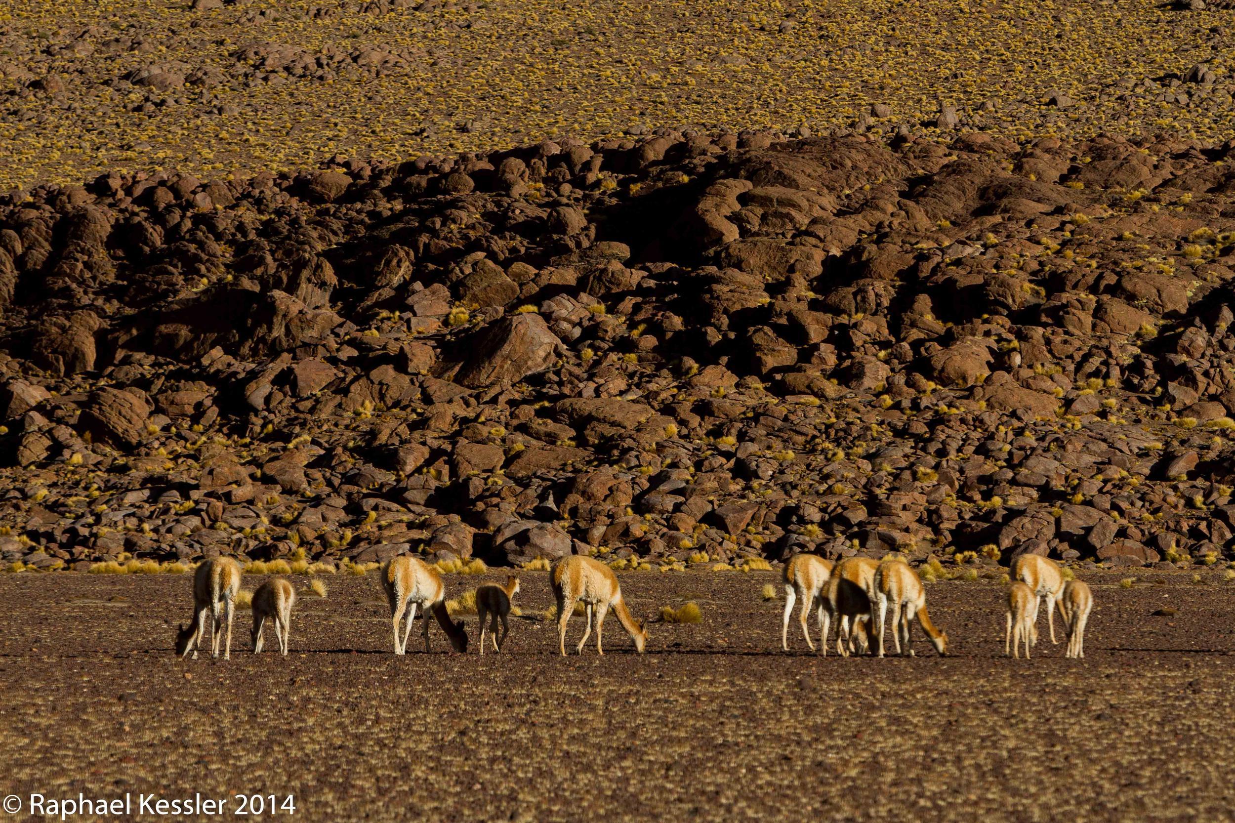
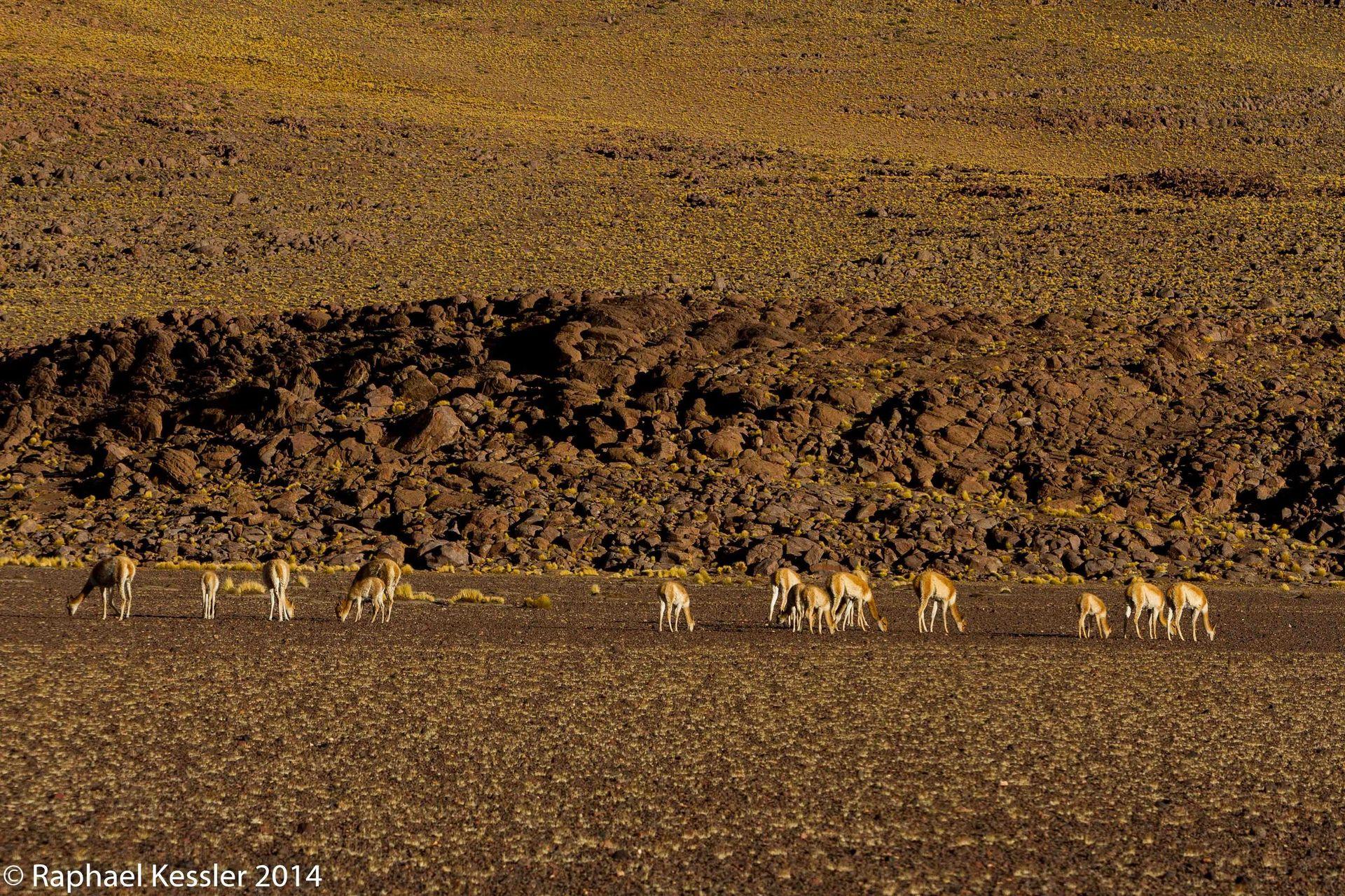
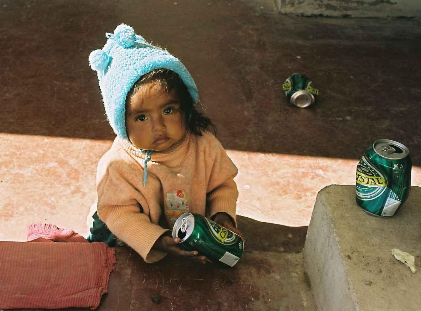
During the tours there were some lovely things to see, some fantastic views (photos 1 & 2), three llamas having group sex and some proper underage drinking.
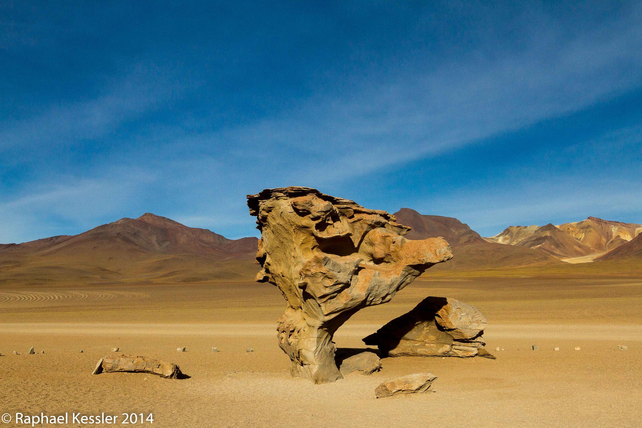
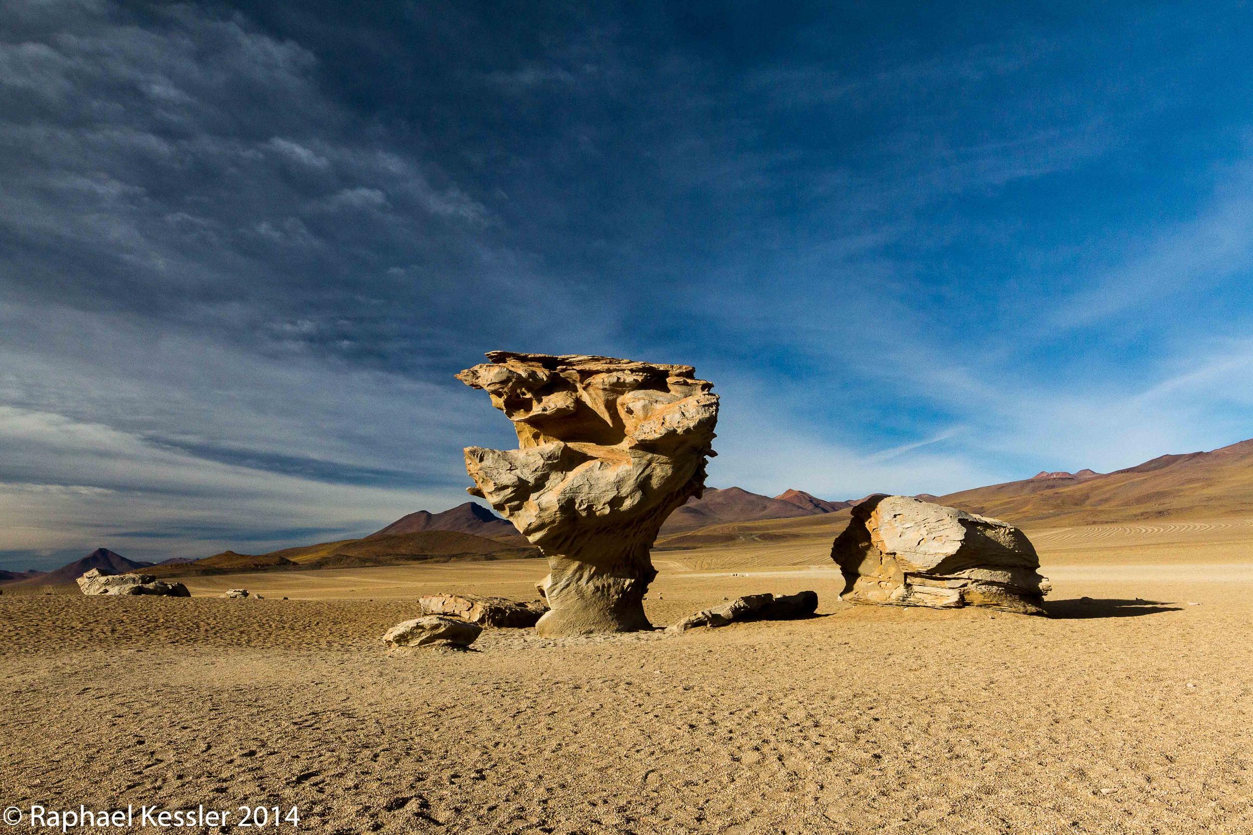
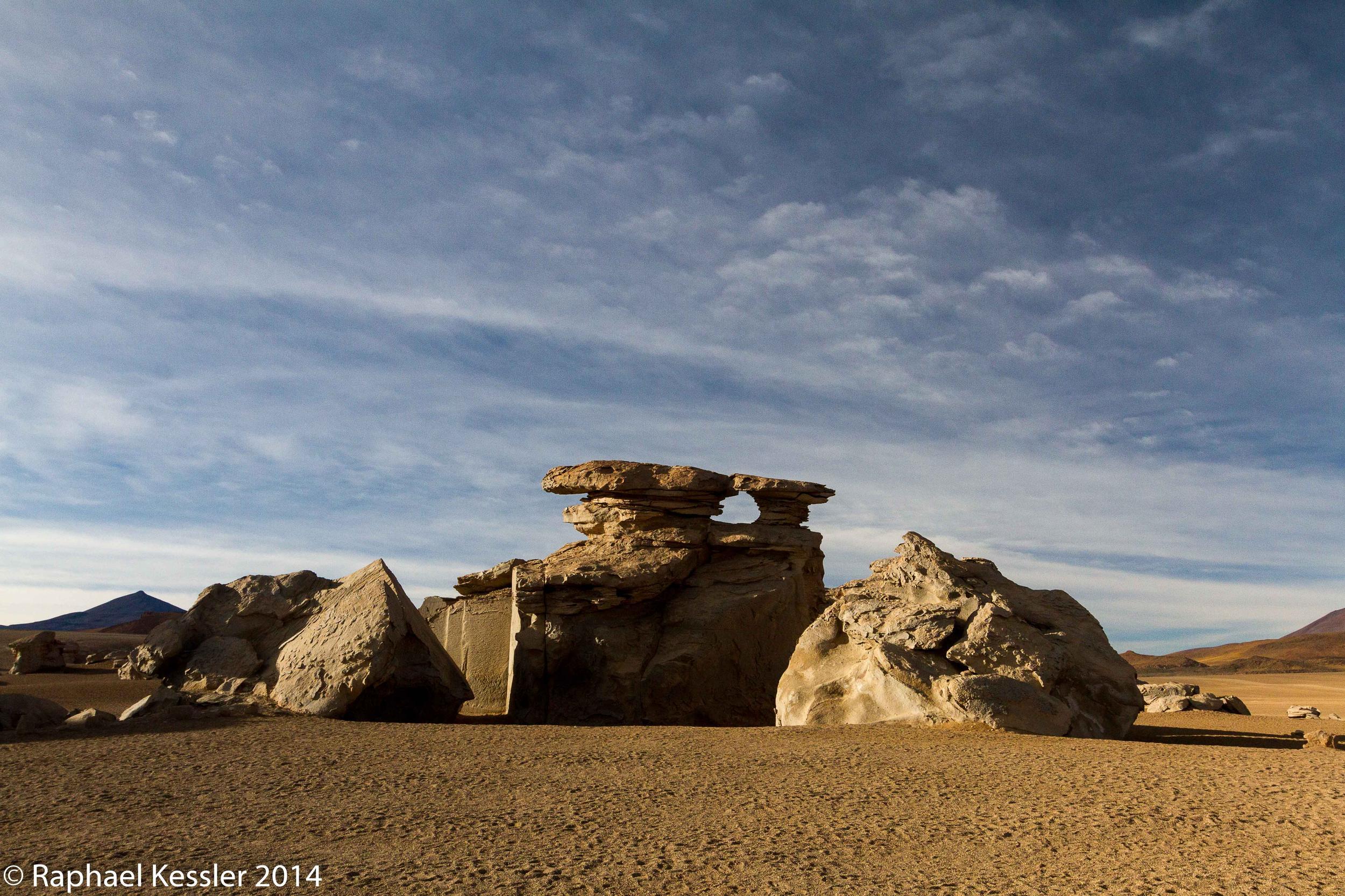
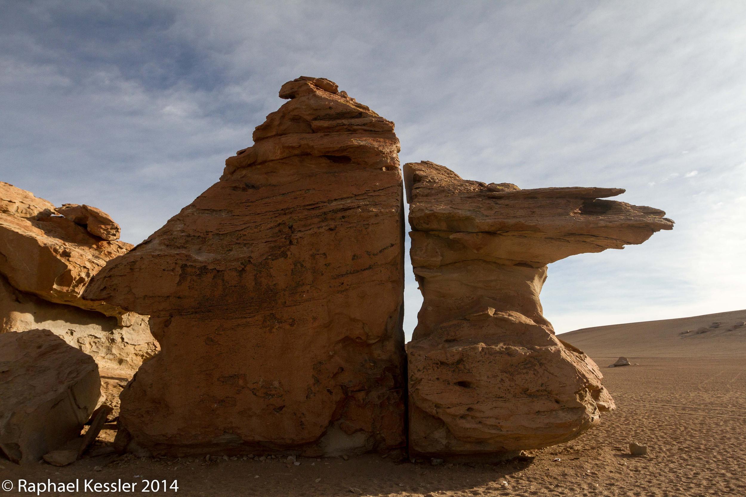
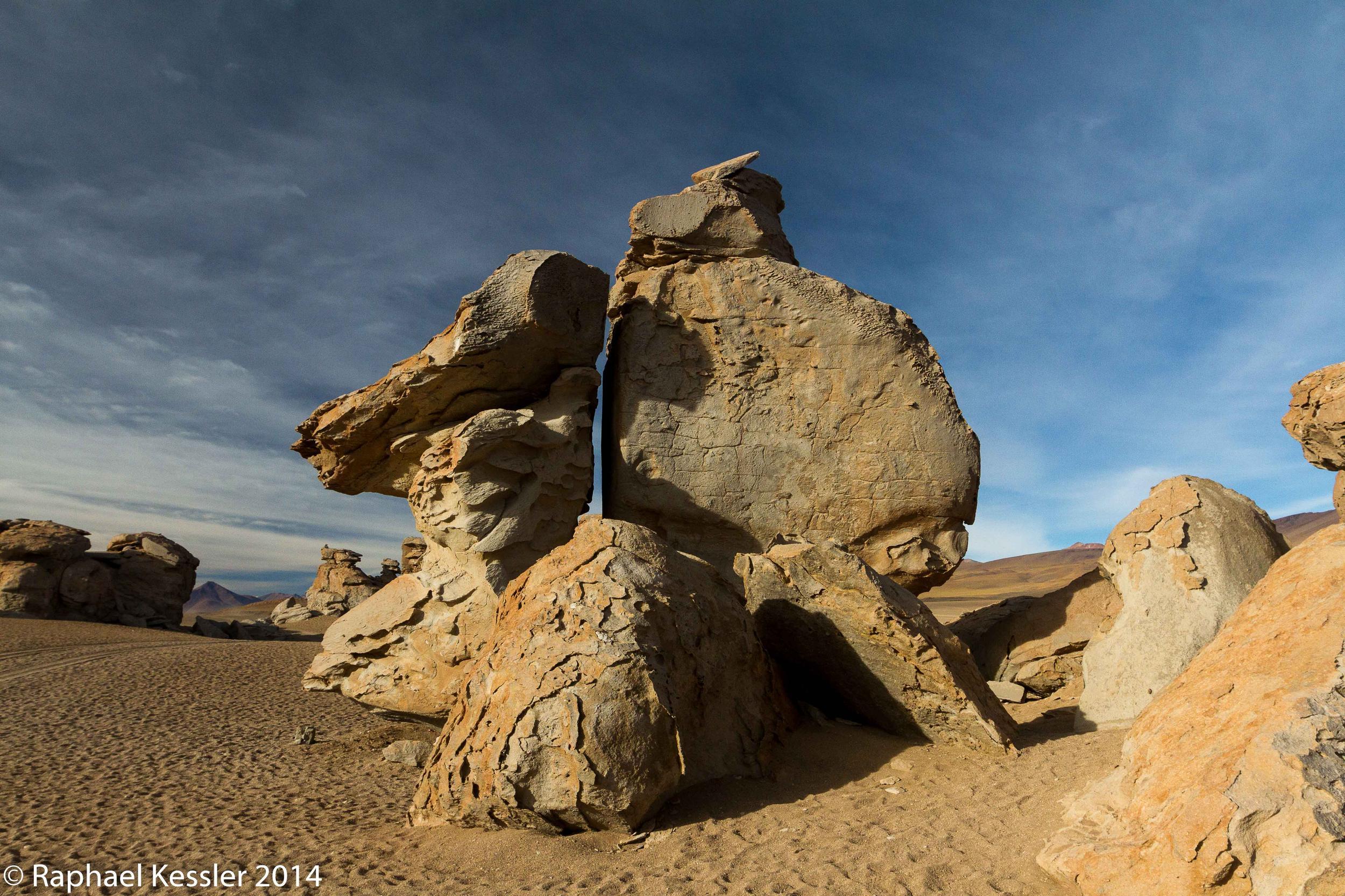
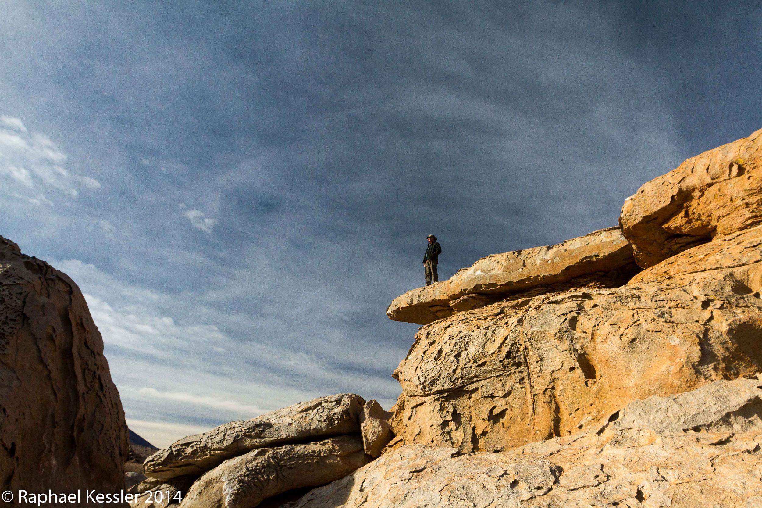
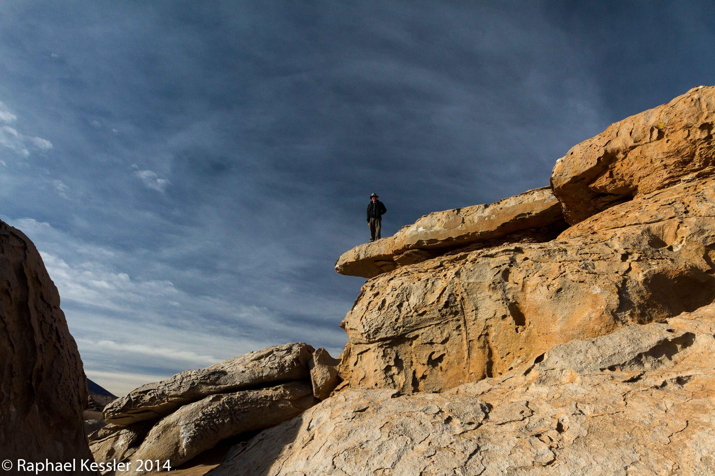
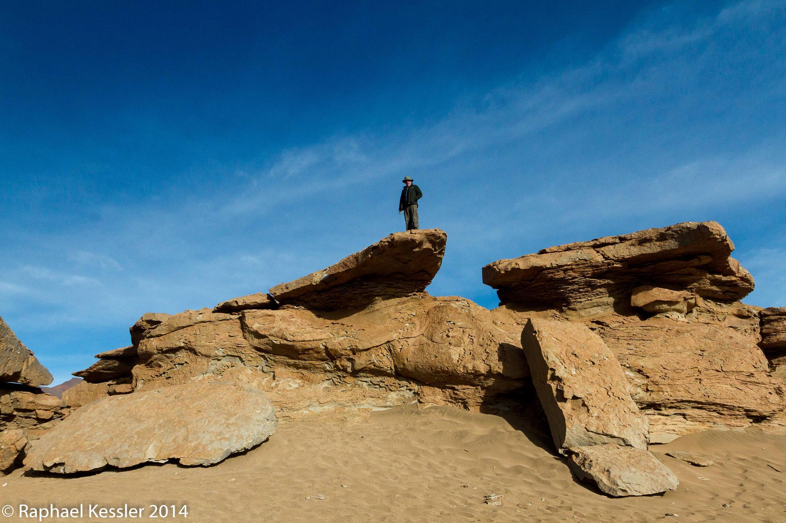
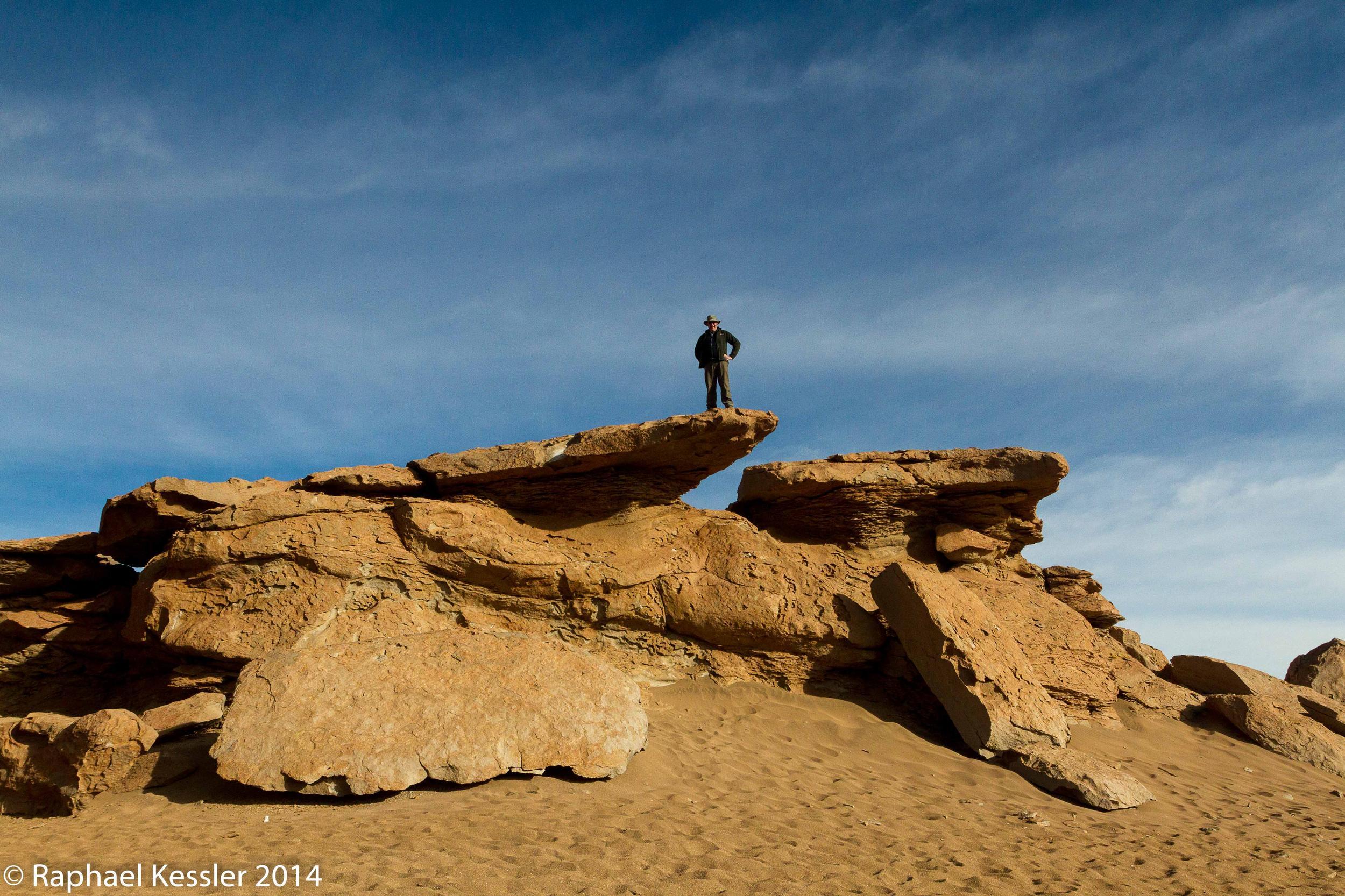
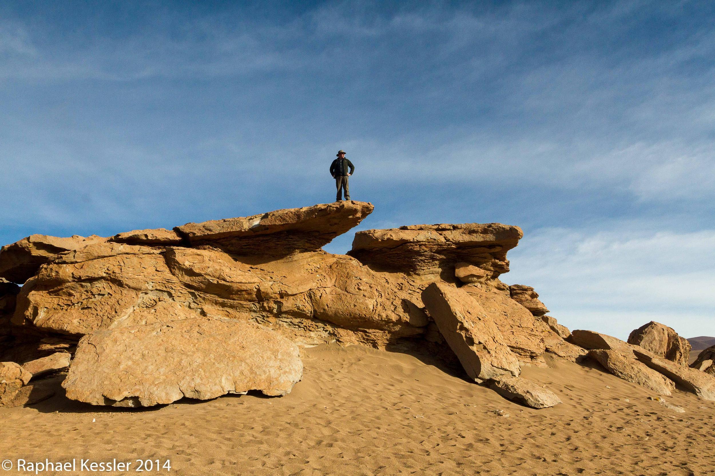
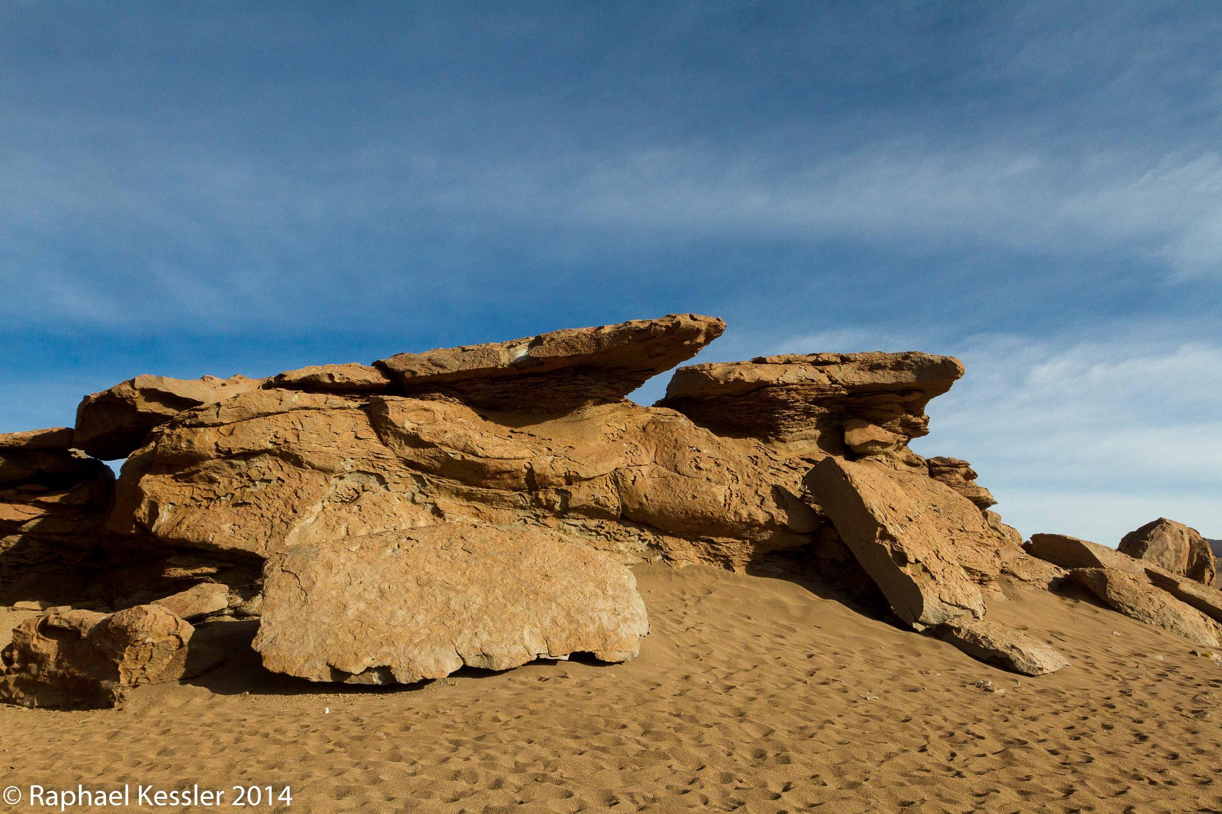
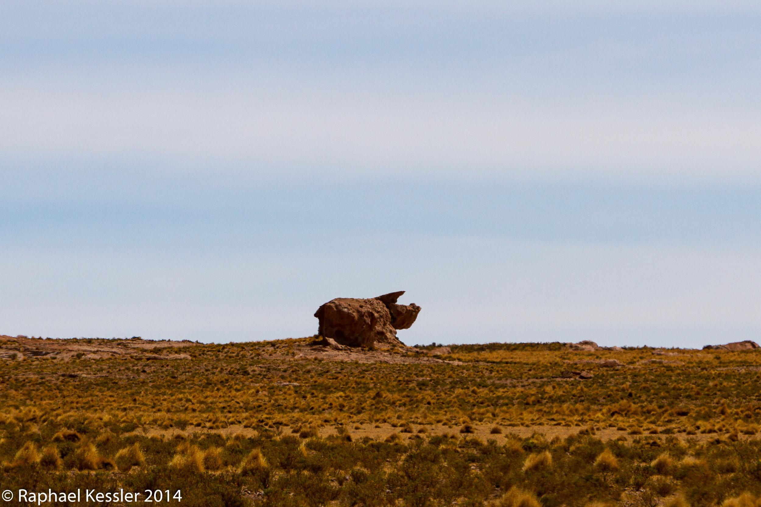
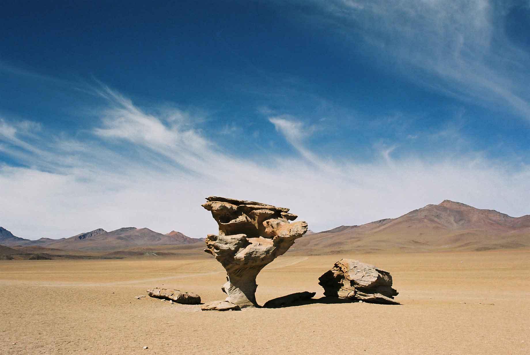
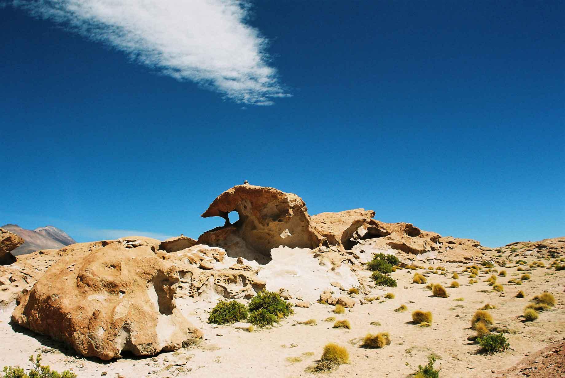
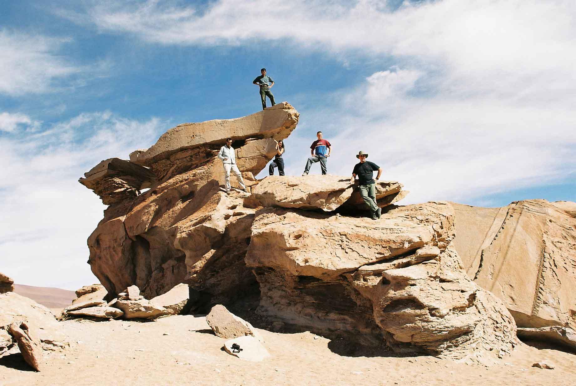
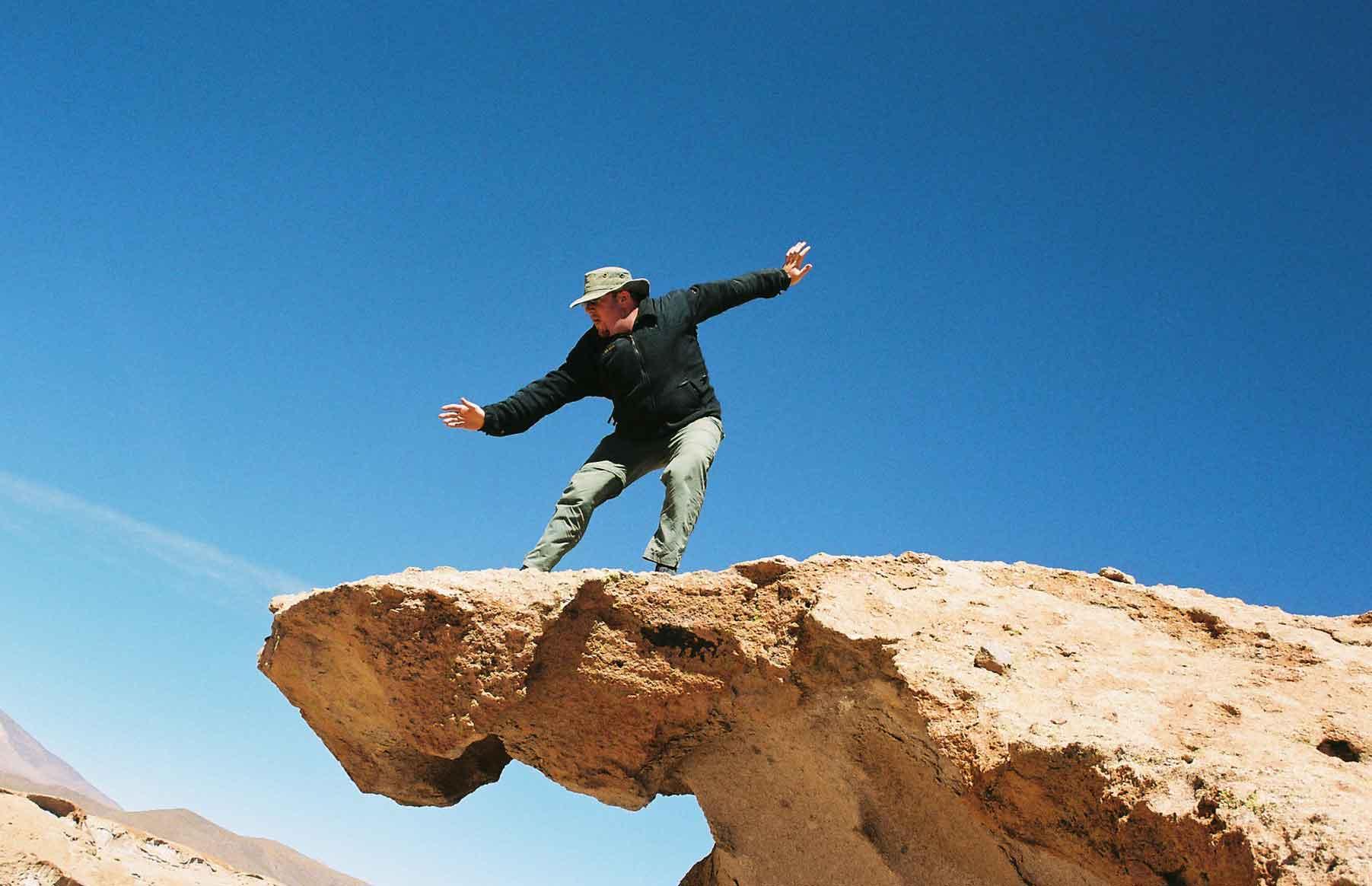
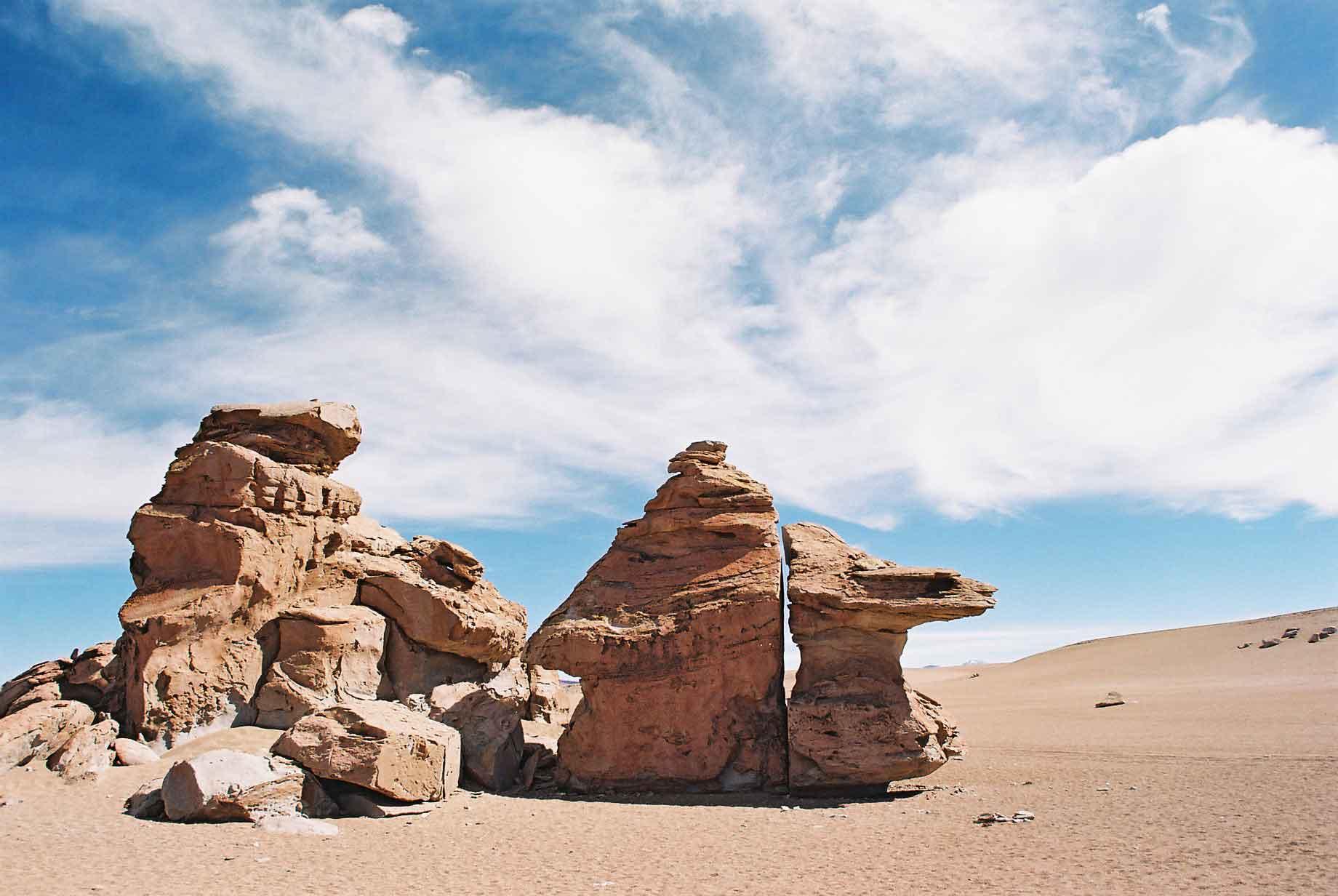
Some of the rock formations were very lovely, not limited to the famous Arbol de Piedra (photo 1).
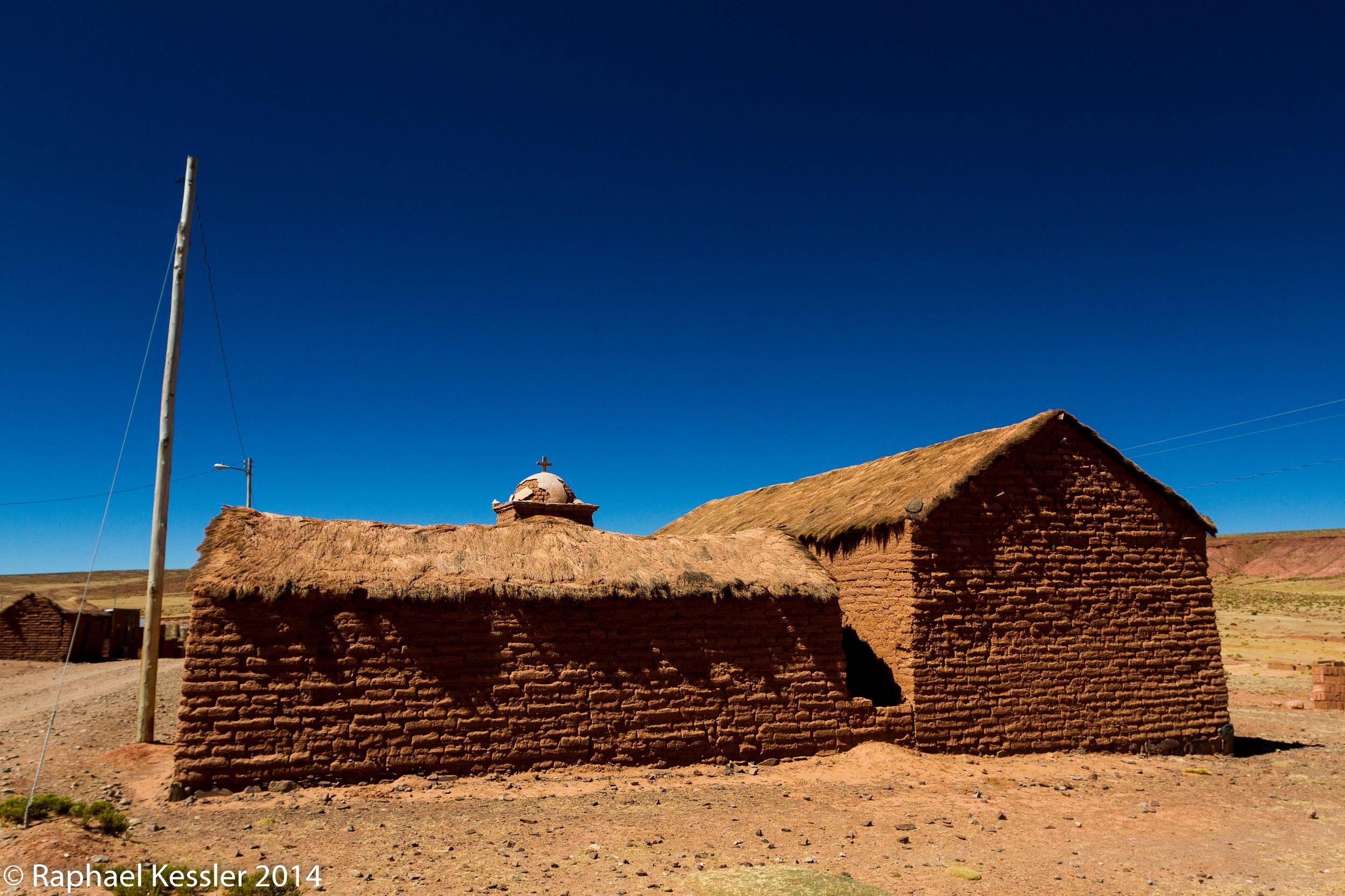
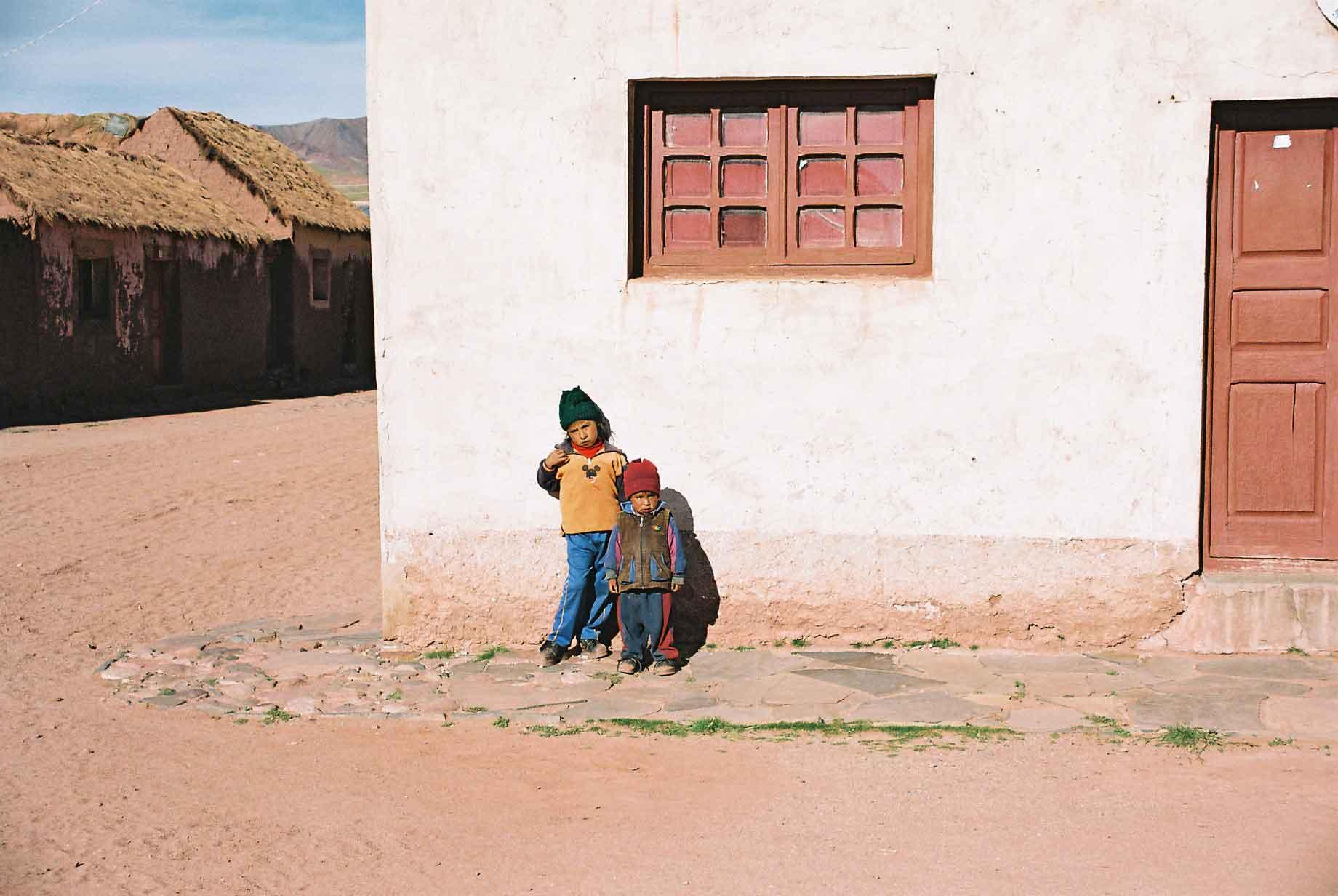
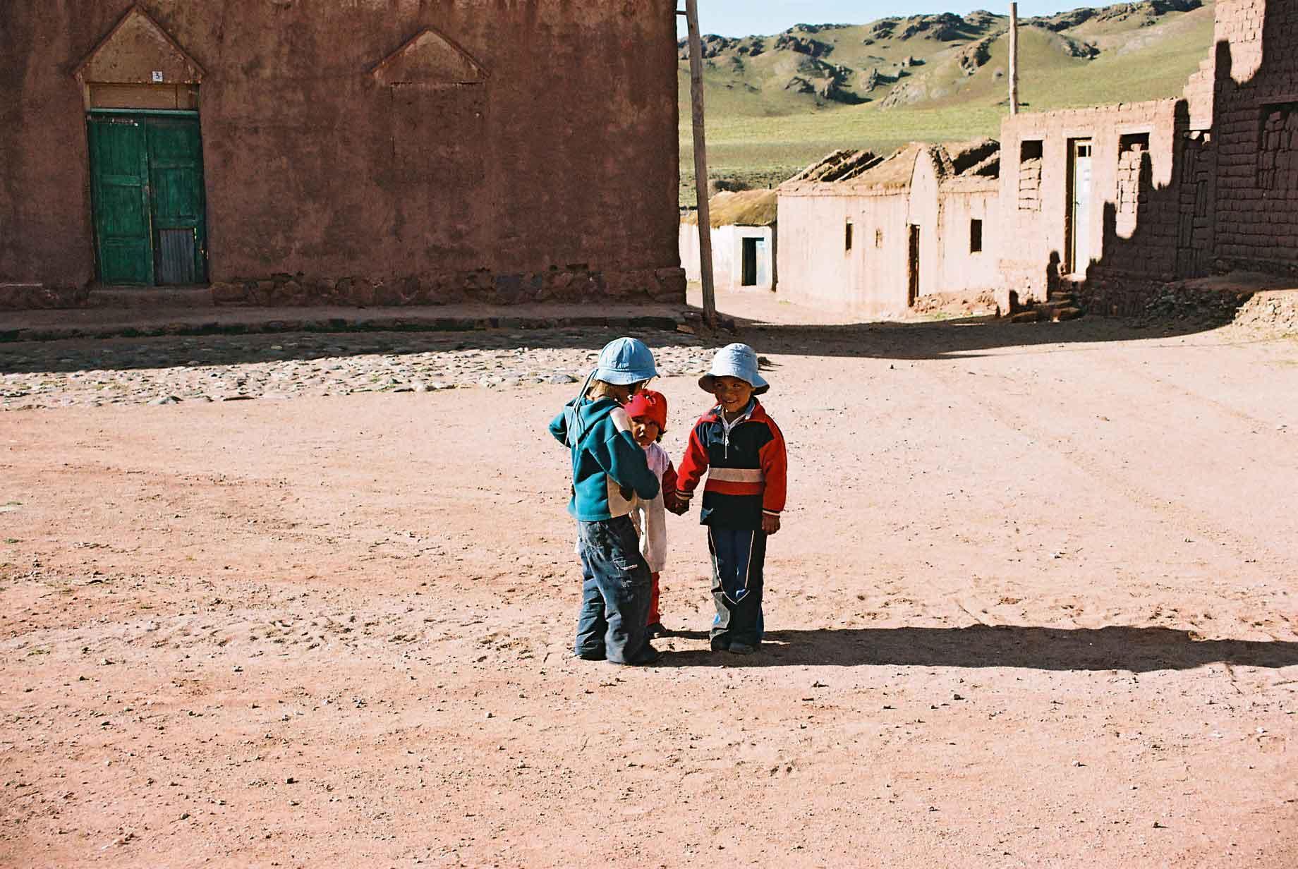
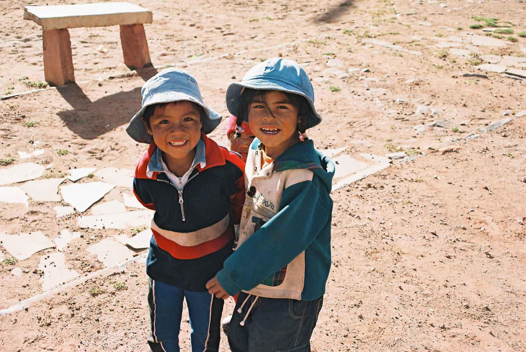
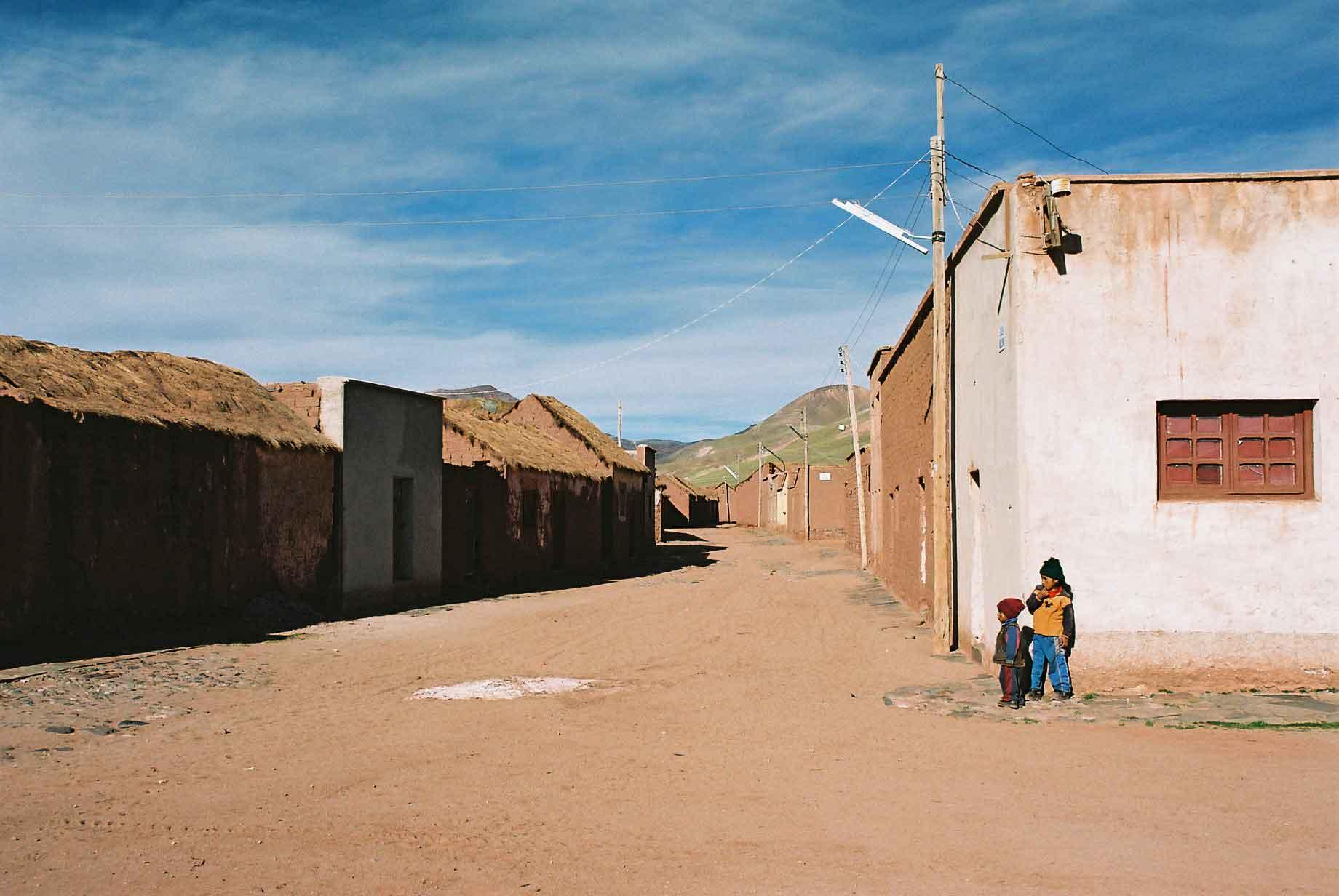
The village of San Pablo de Lipez is actually the provincial capital. impressive it isn't. The kids seemed pleasant, the most impressive thing was that no-one actually appeared to live there, which can be extrapolated to show that very few people live in that province. Either that or they chose an empty village as capital because of altitude sickness. The kids there seemed happy enough though.
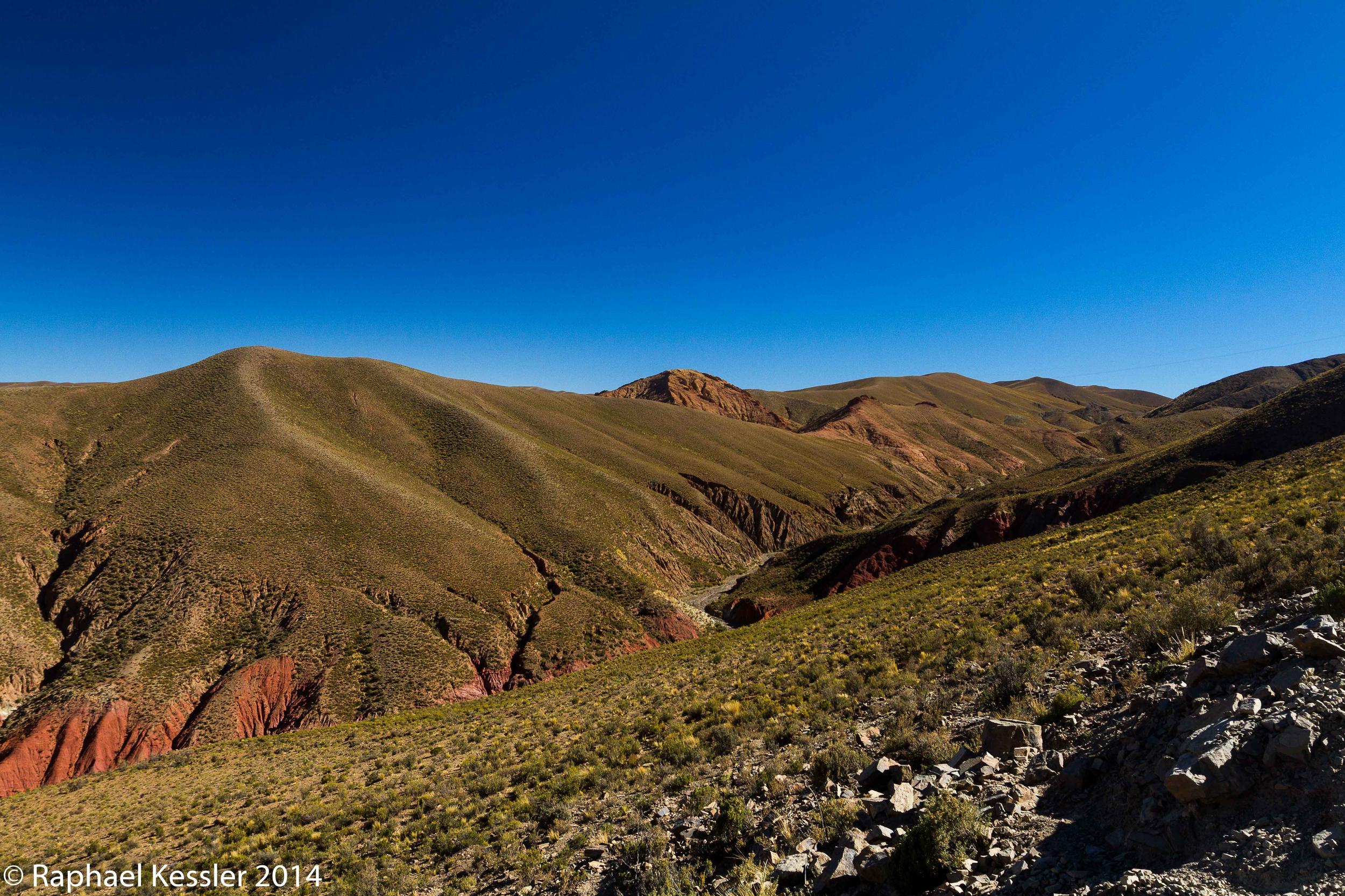
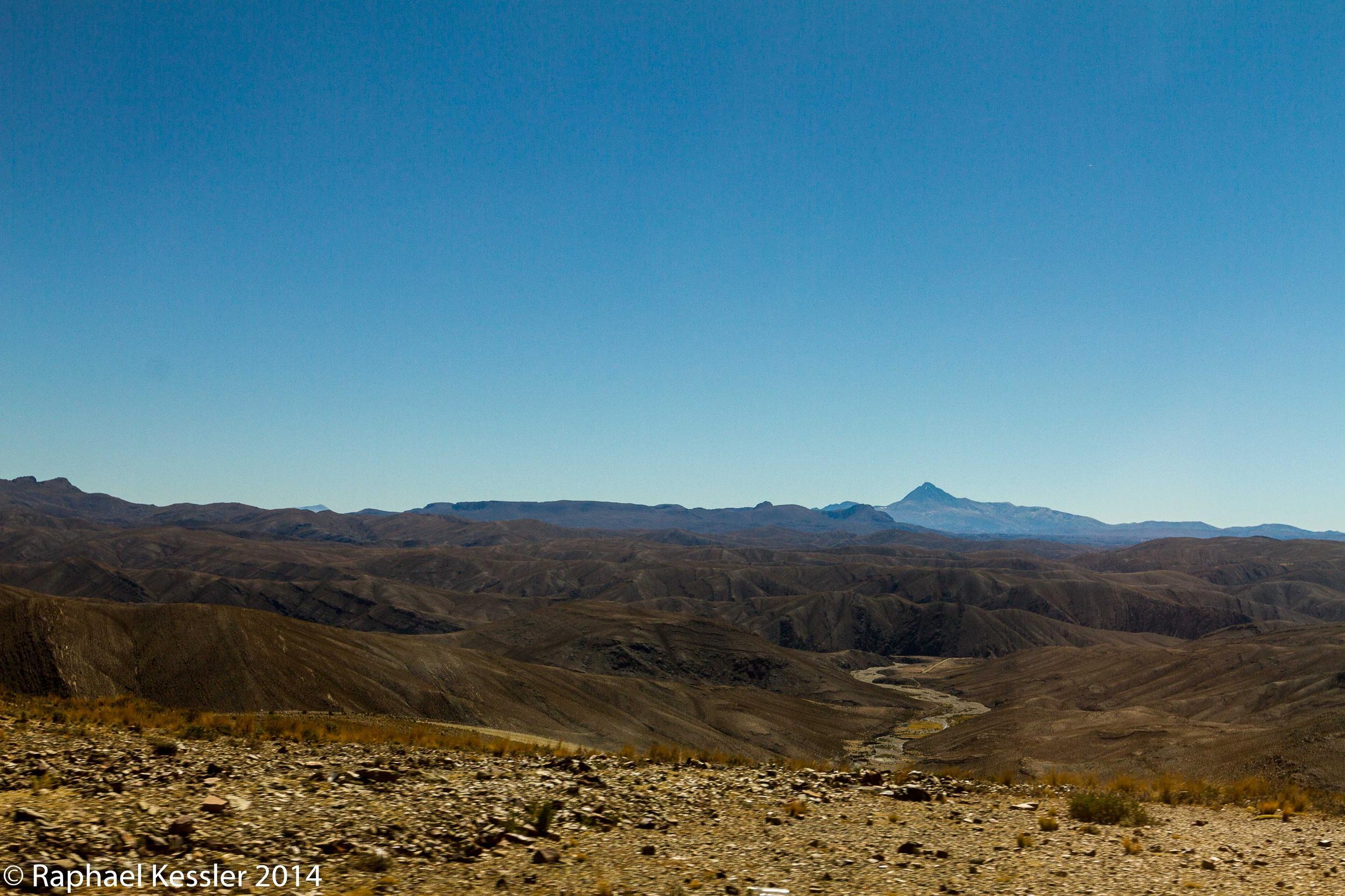
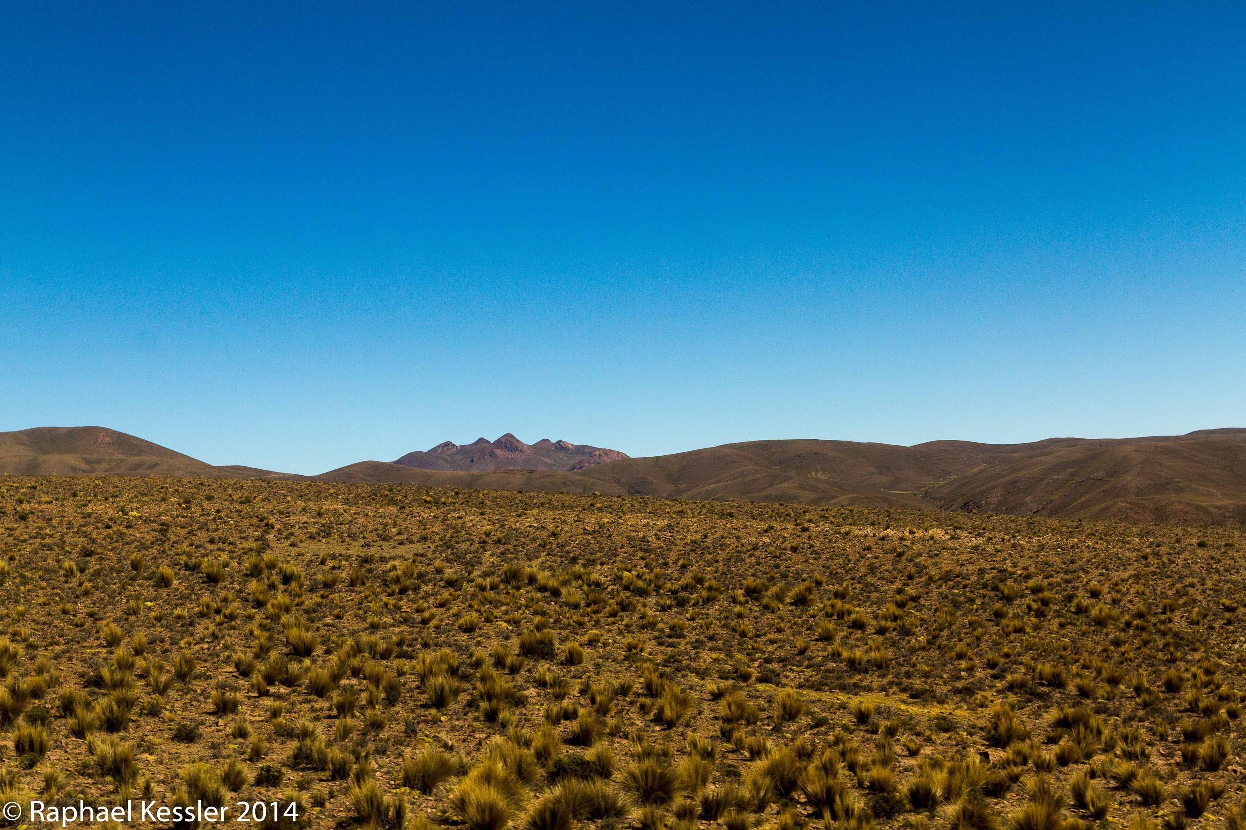
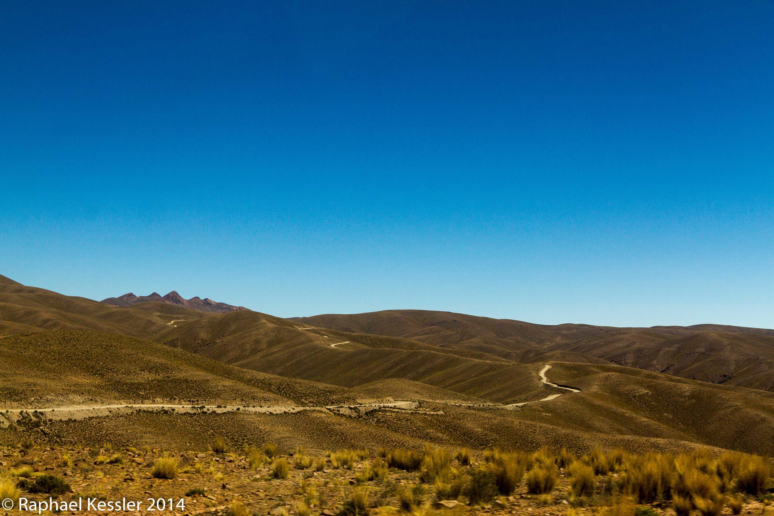
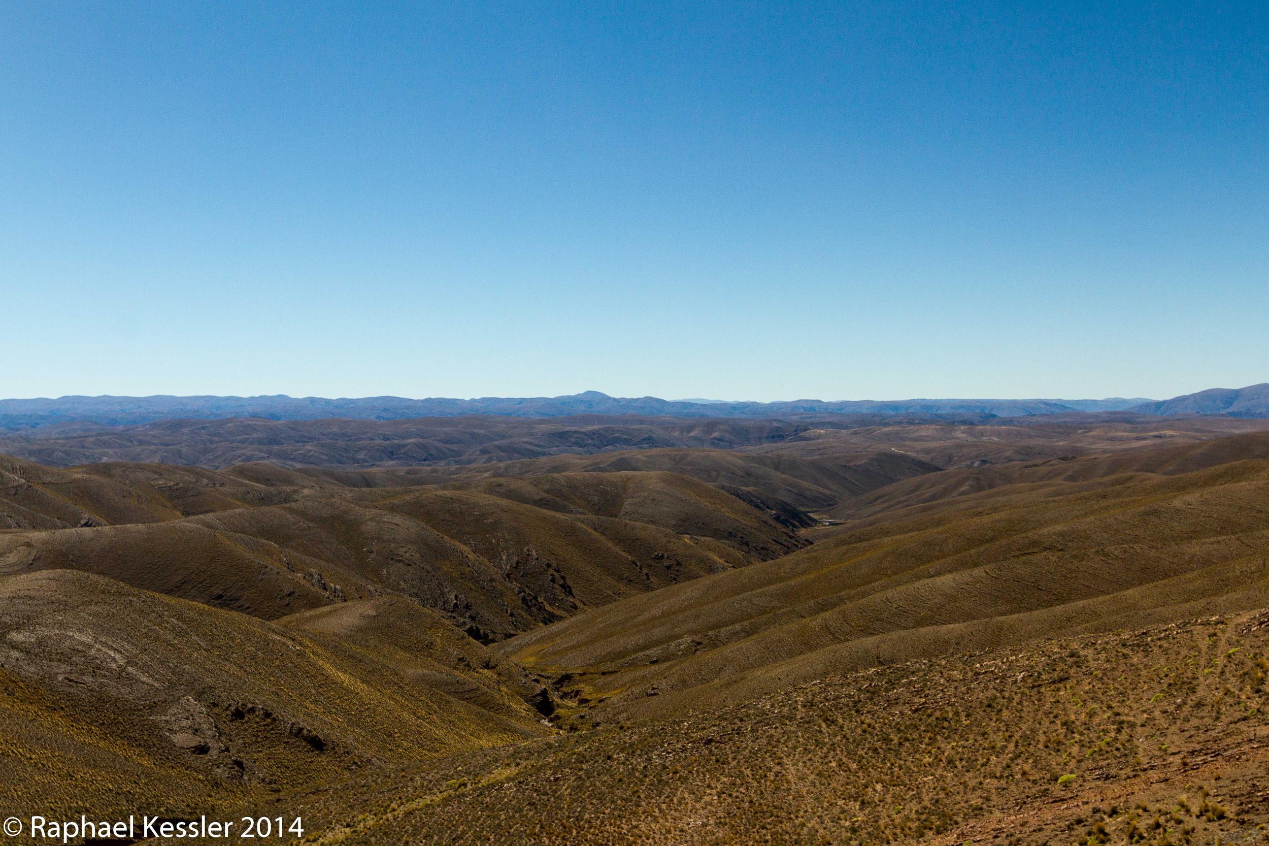
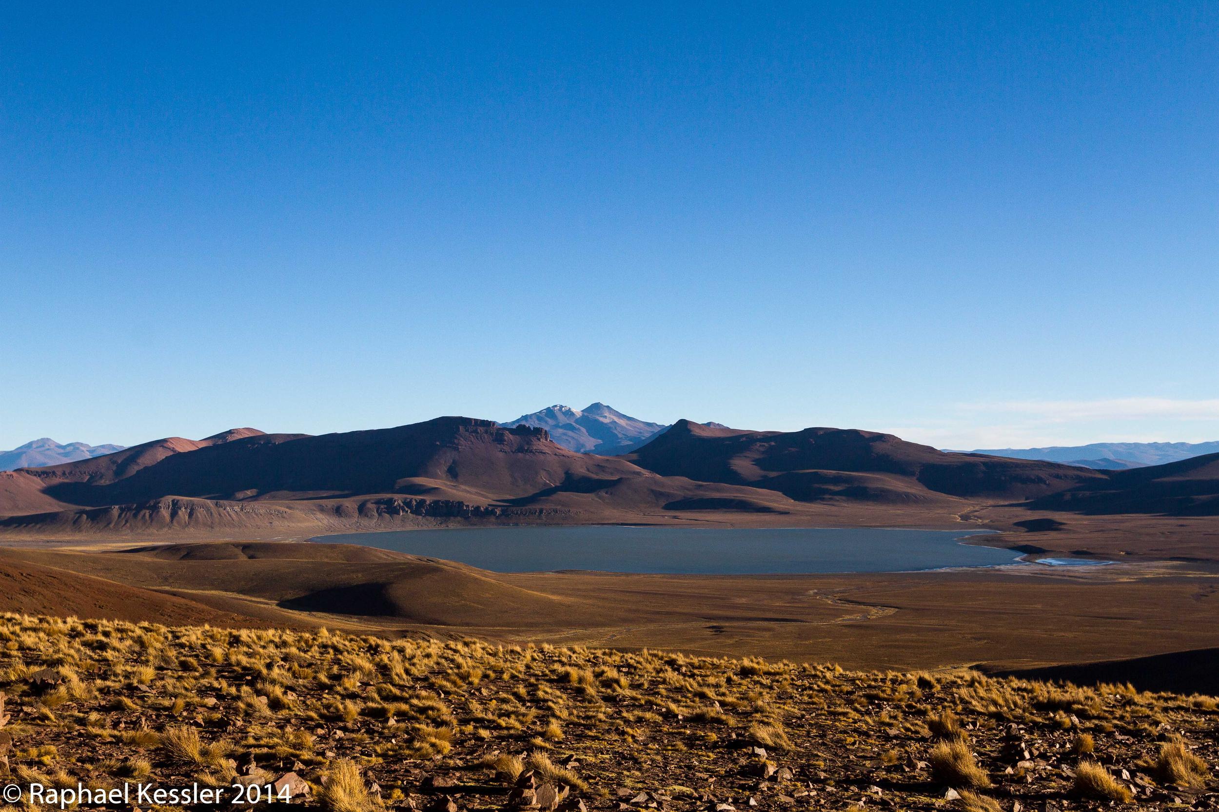
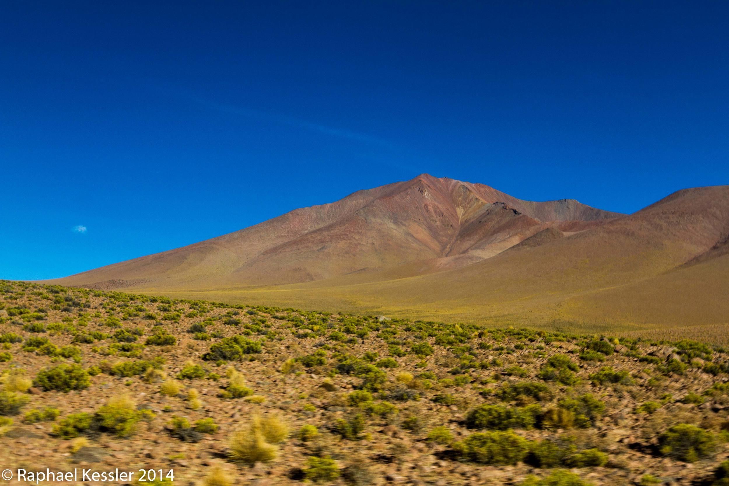
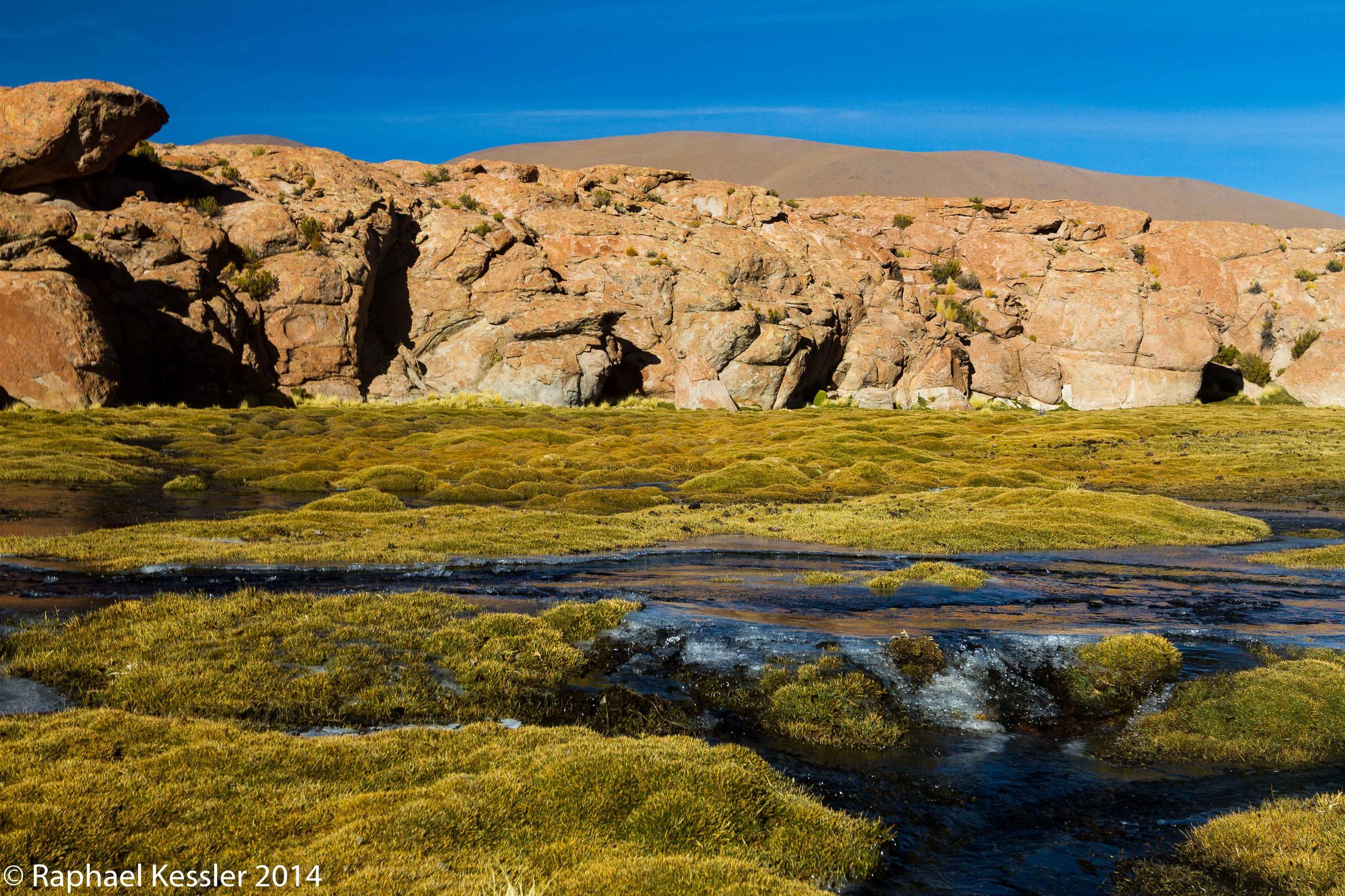
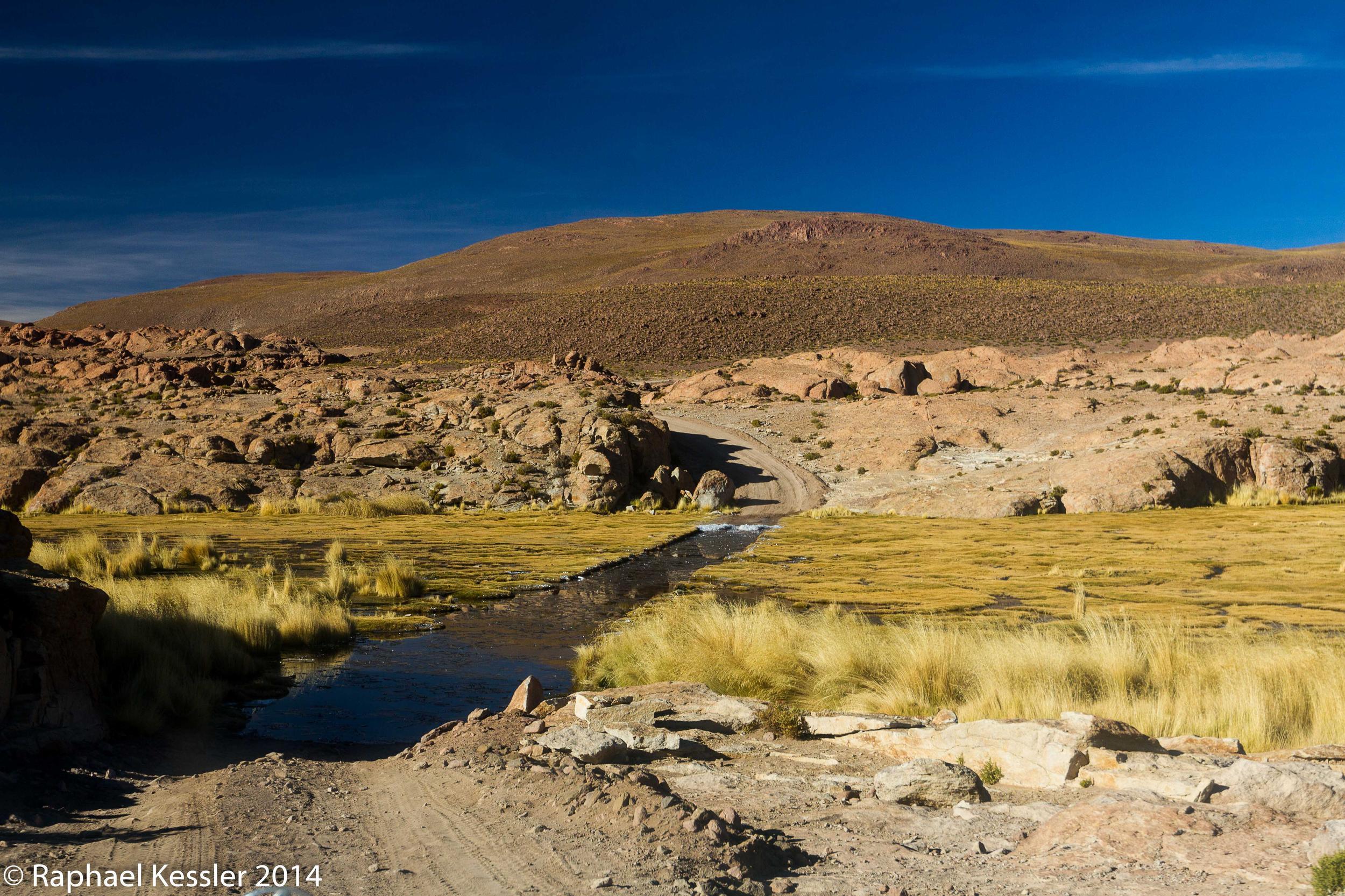
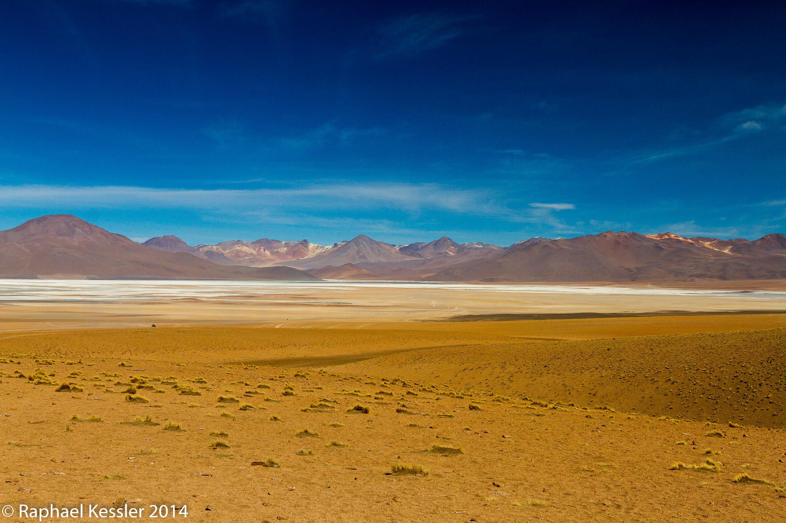
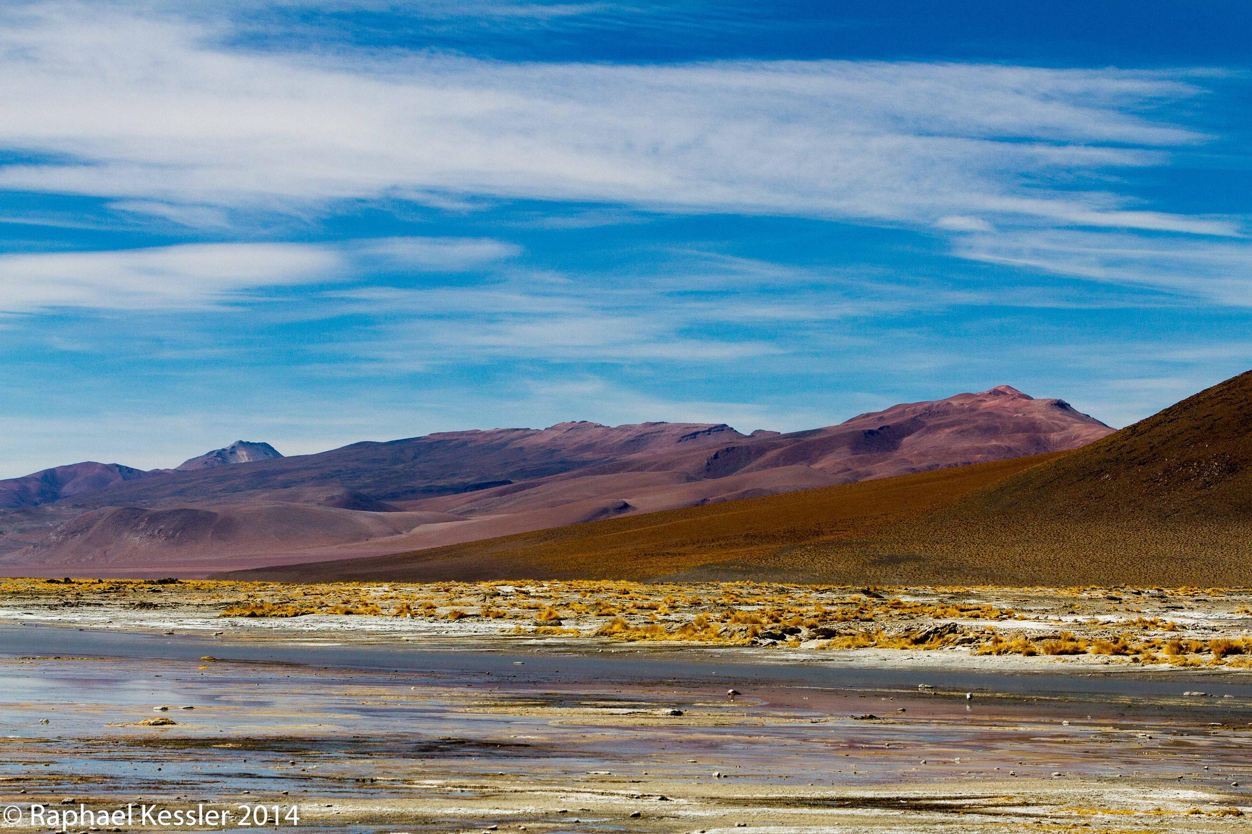
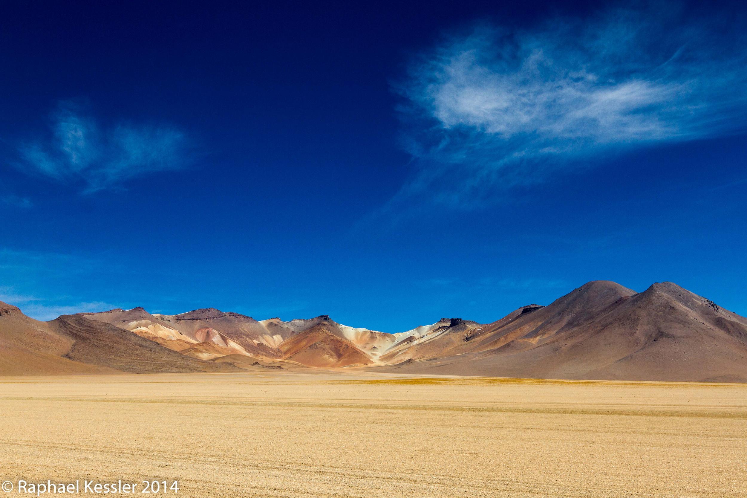
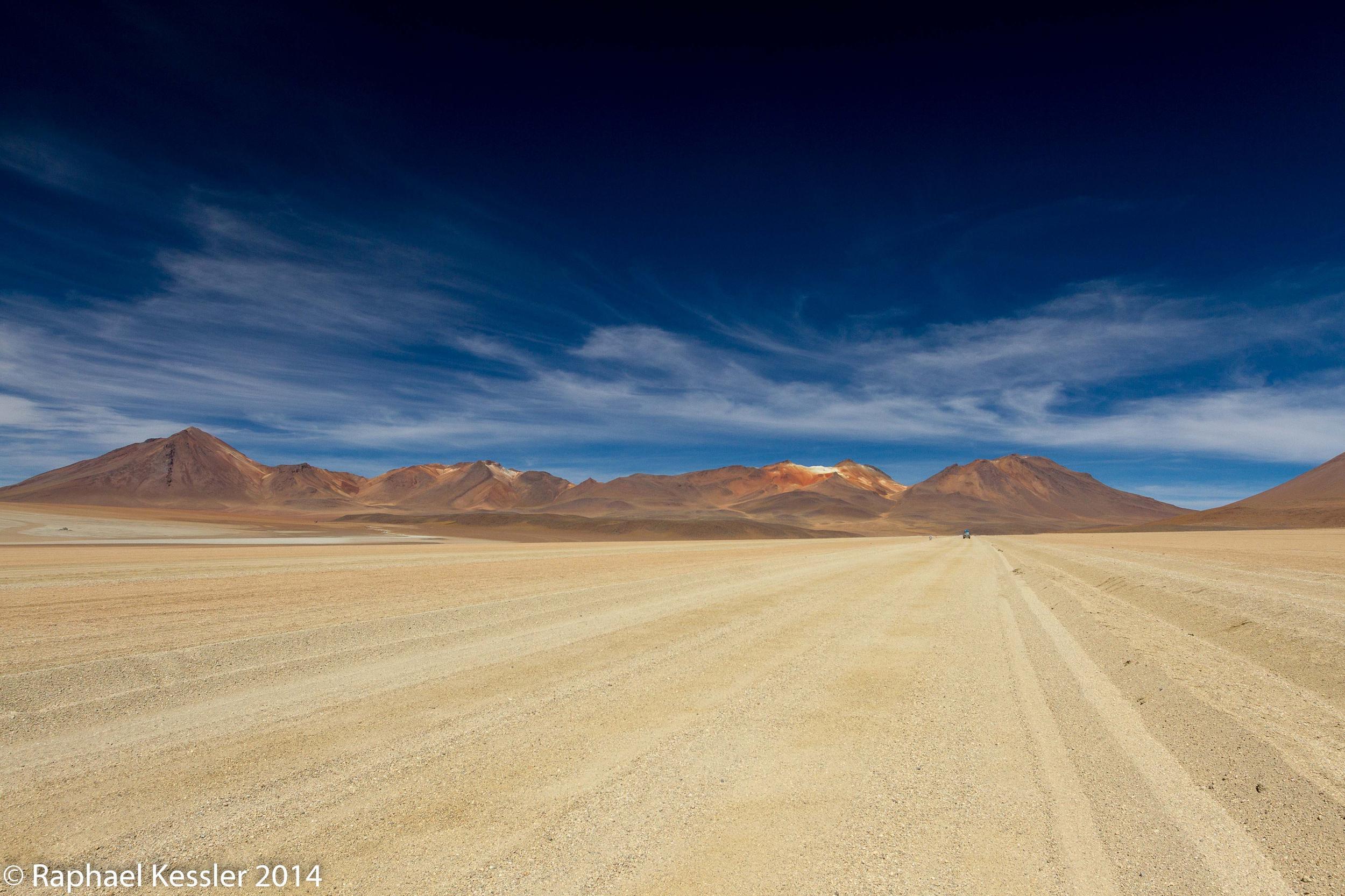
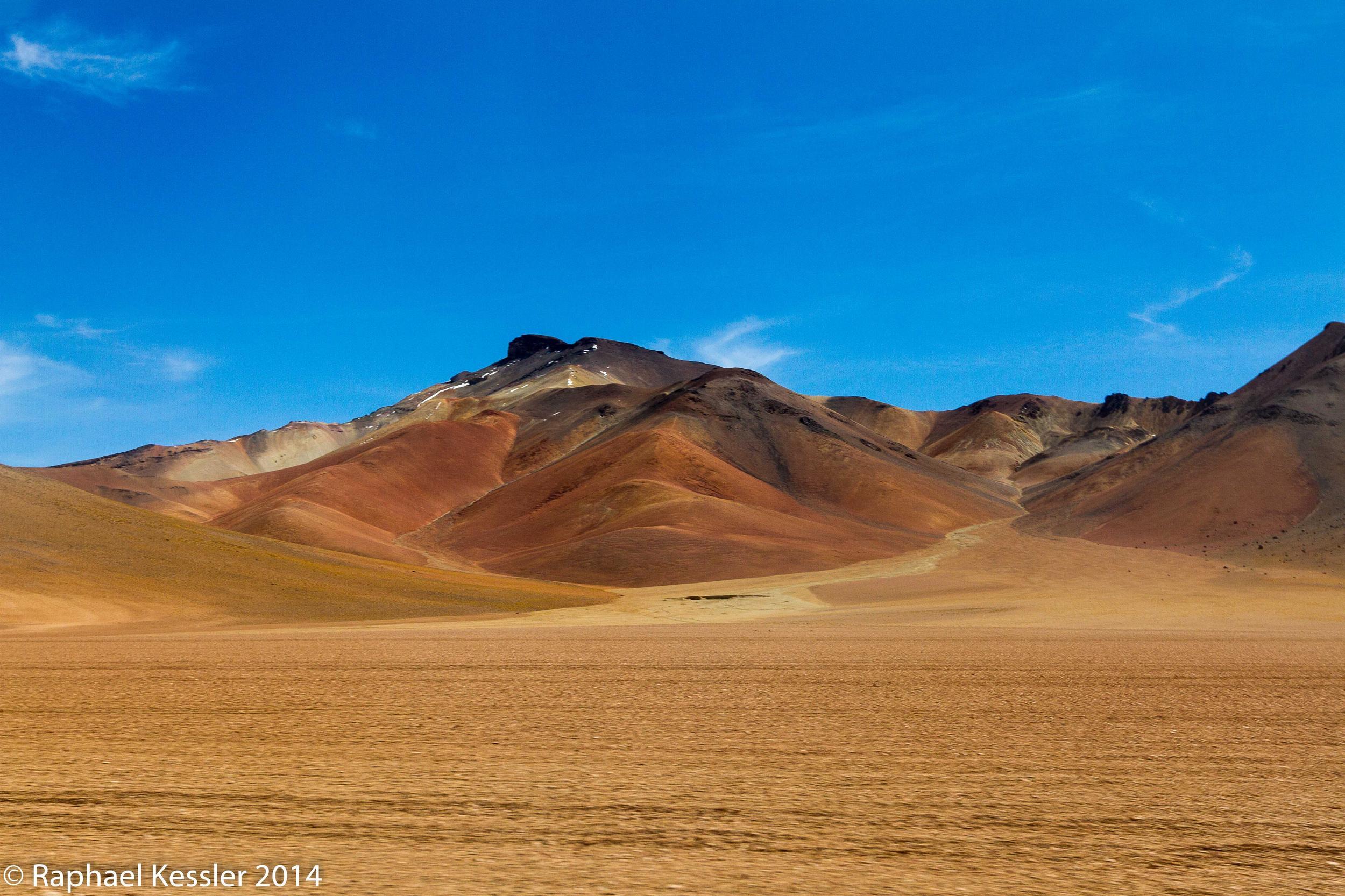
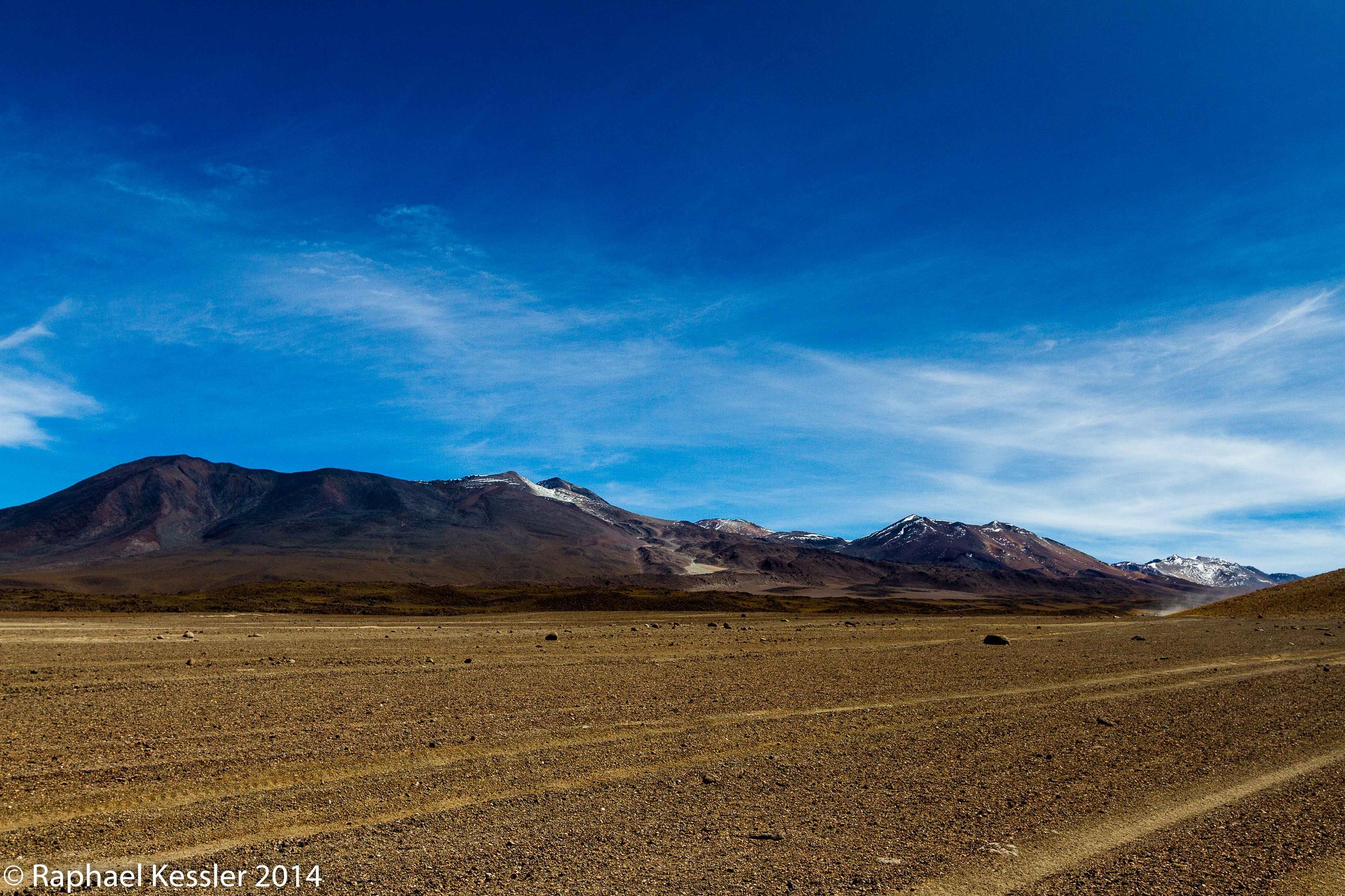
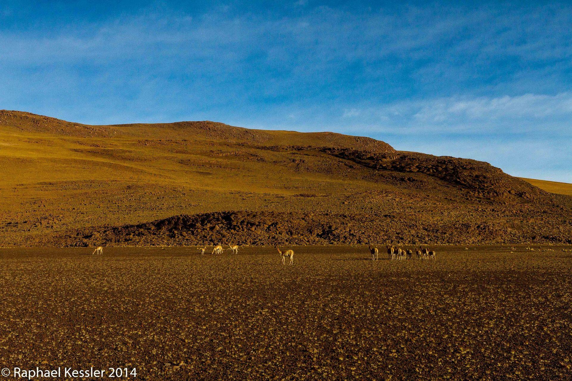
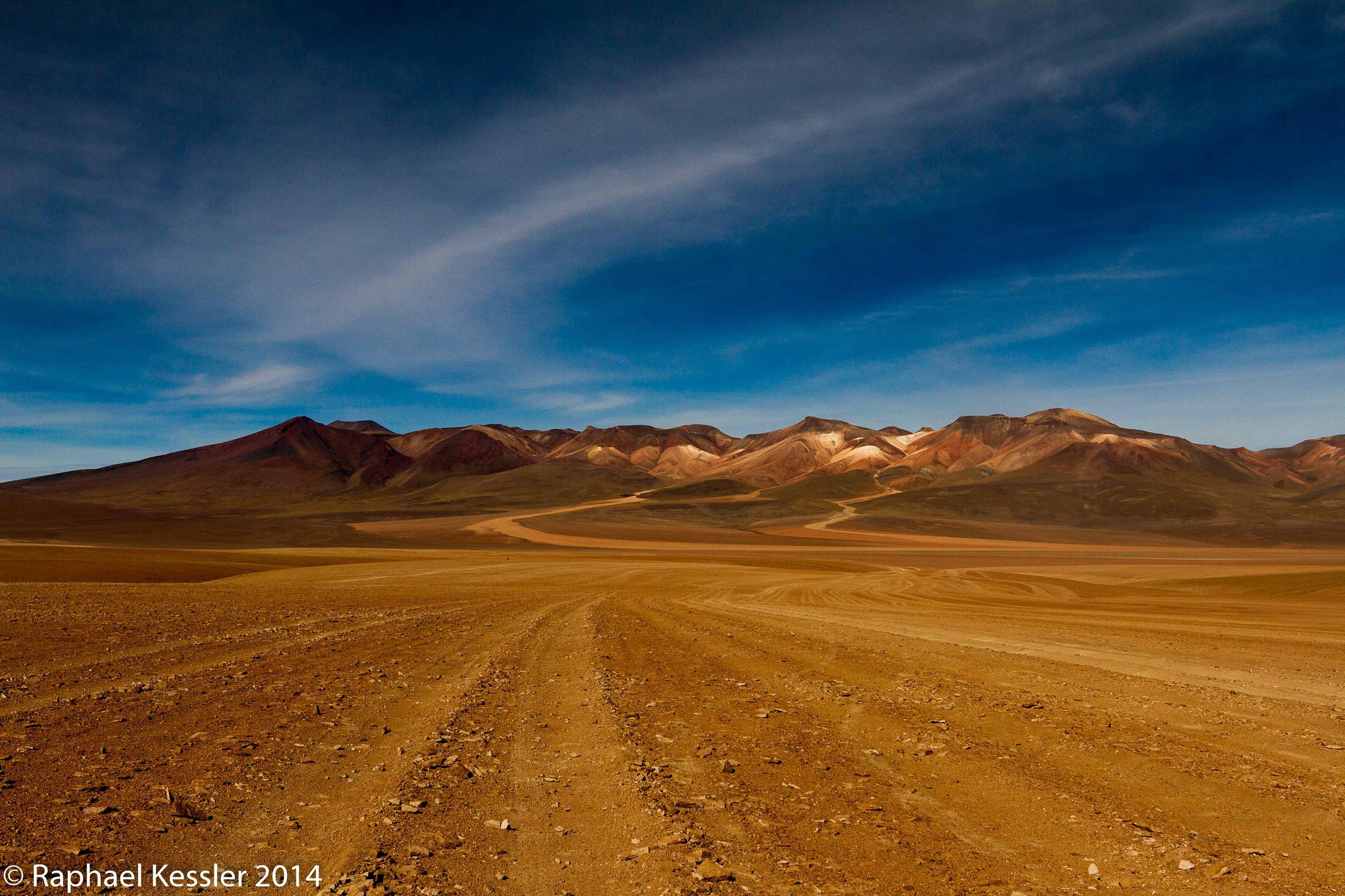
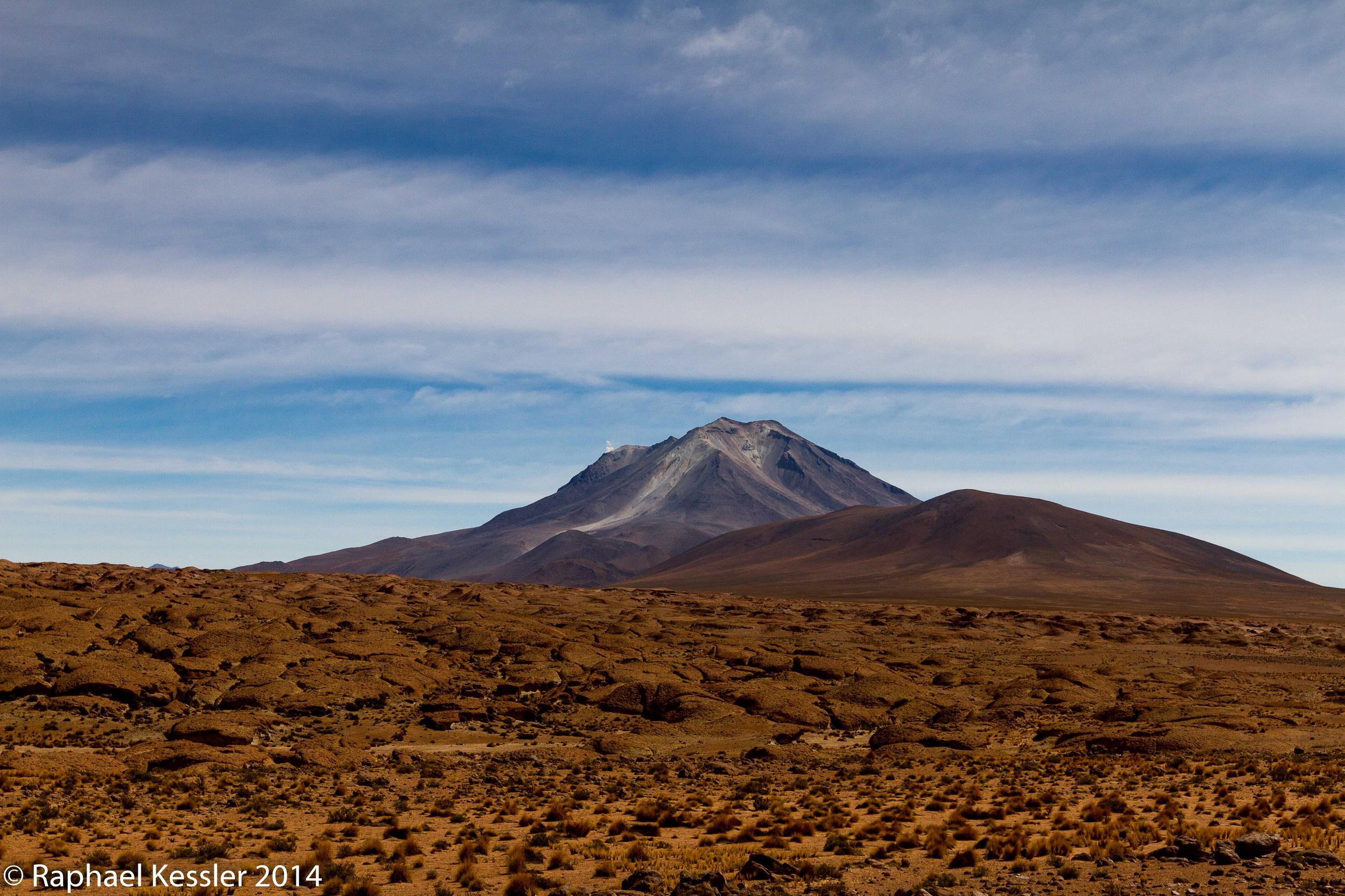
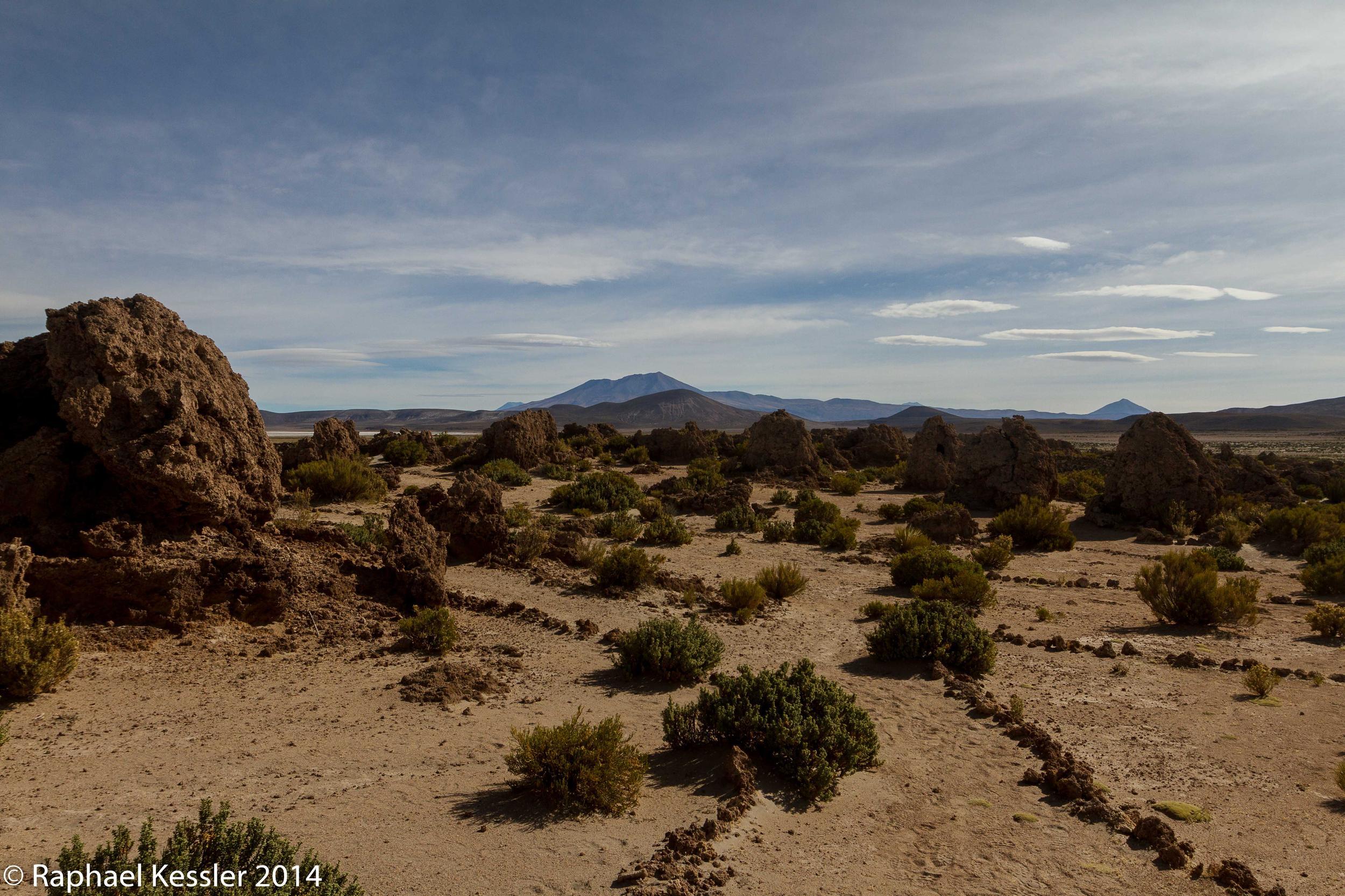
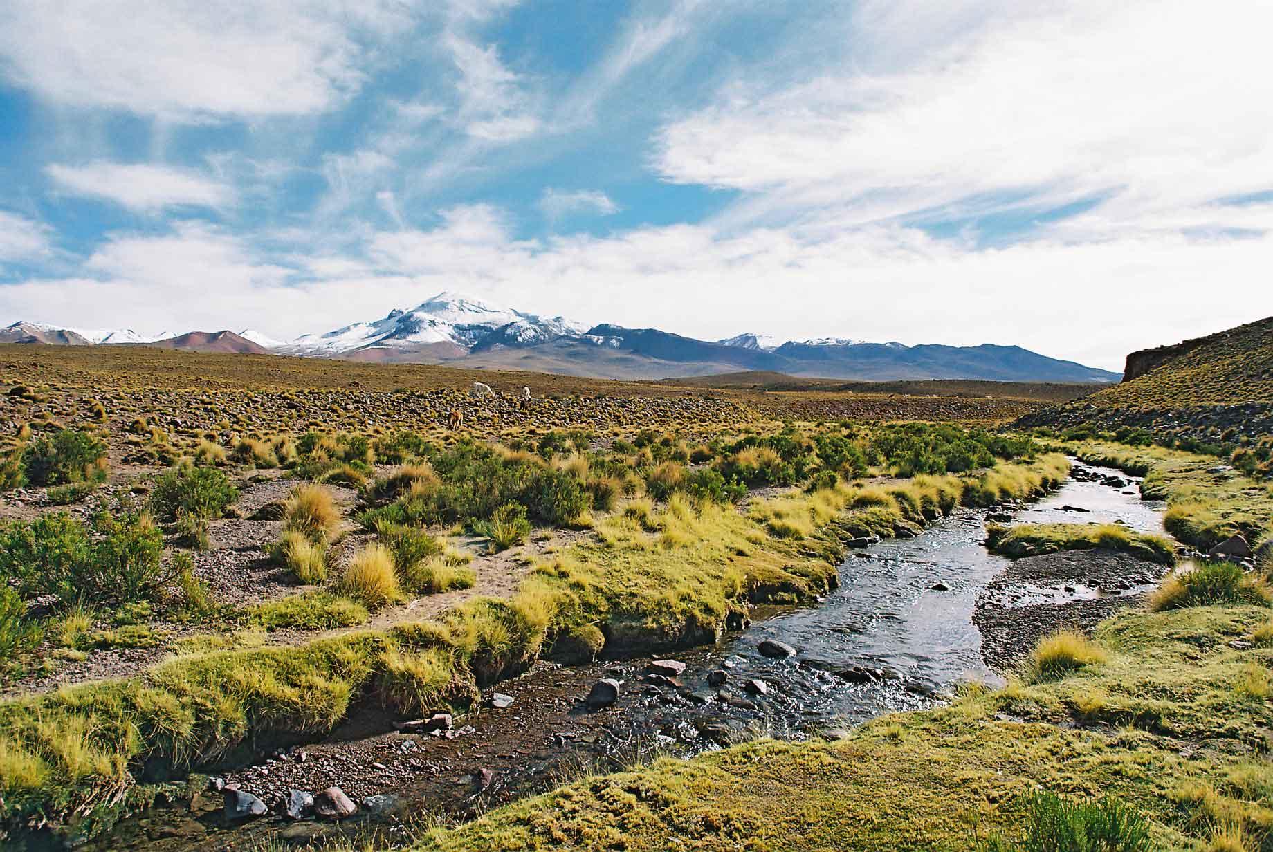
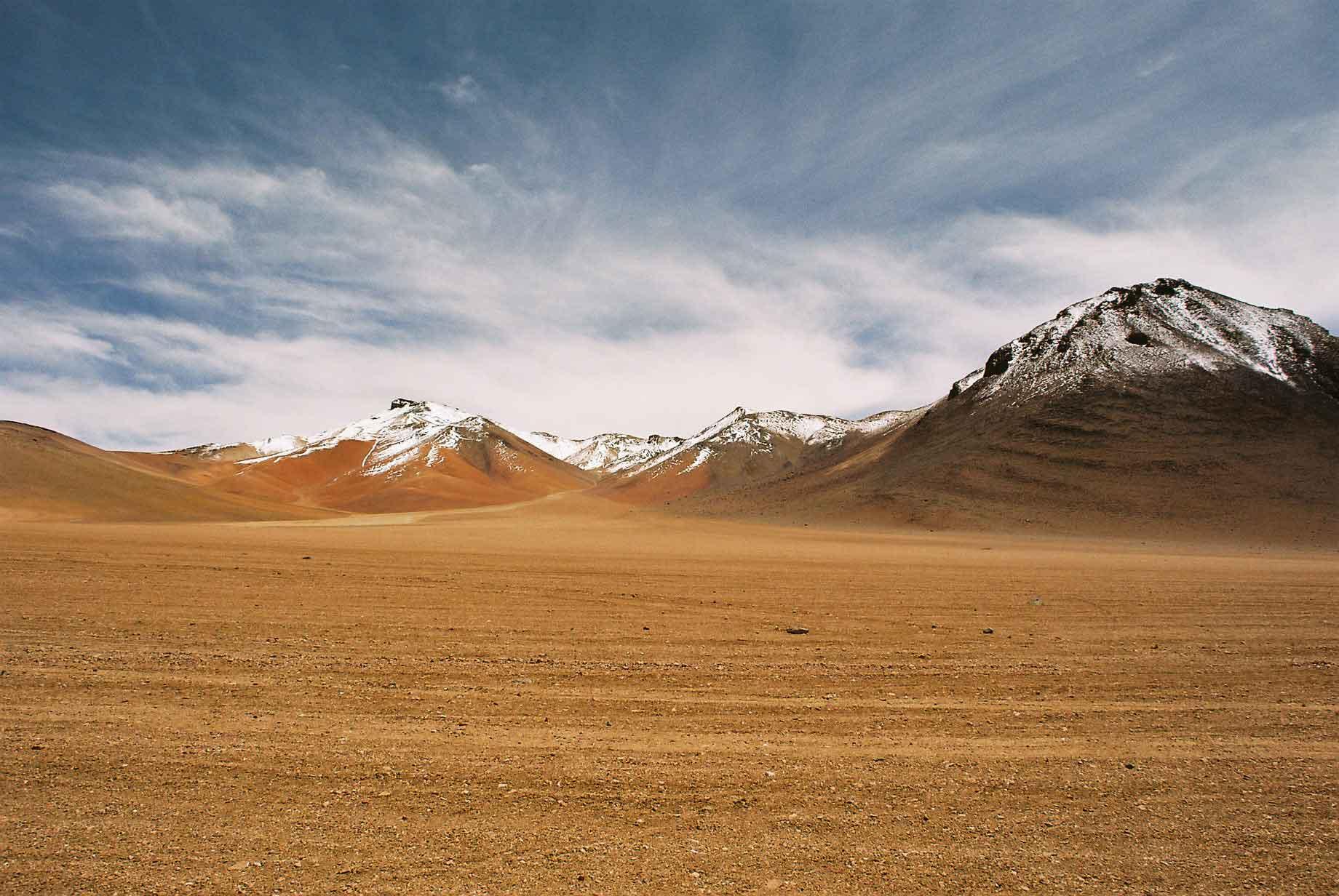
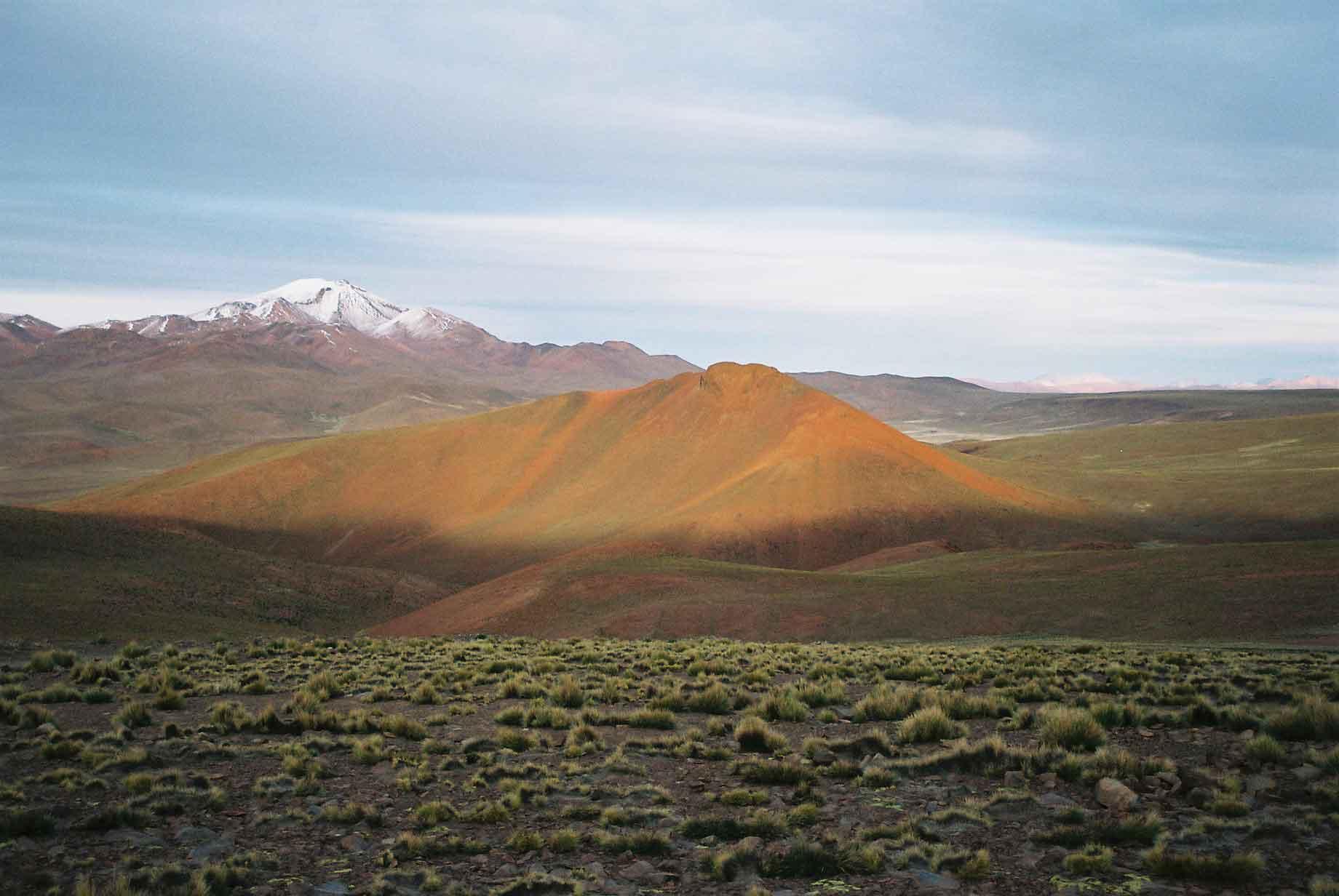
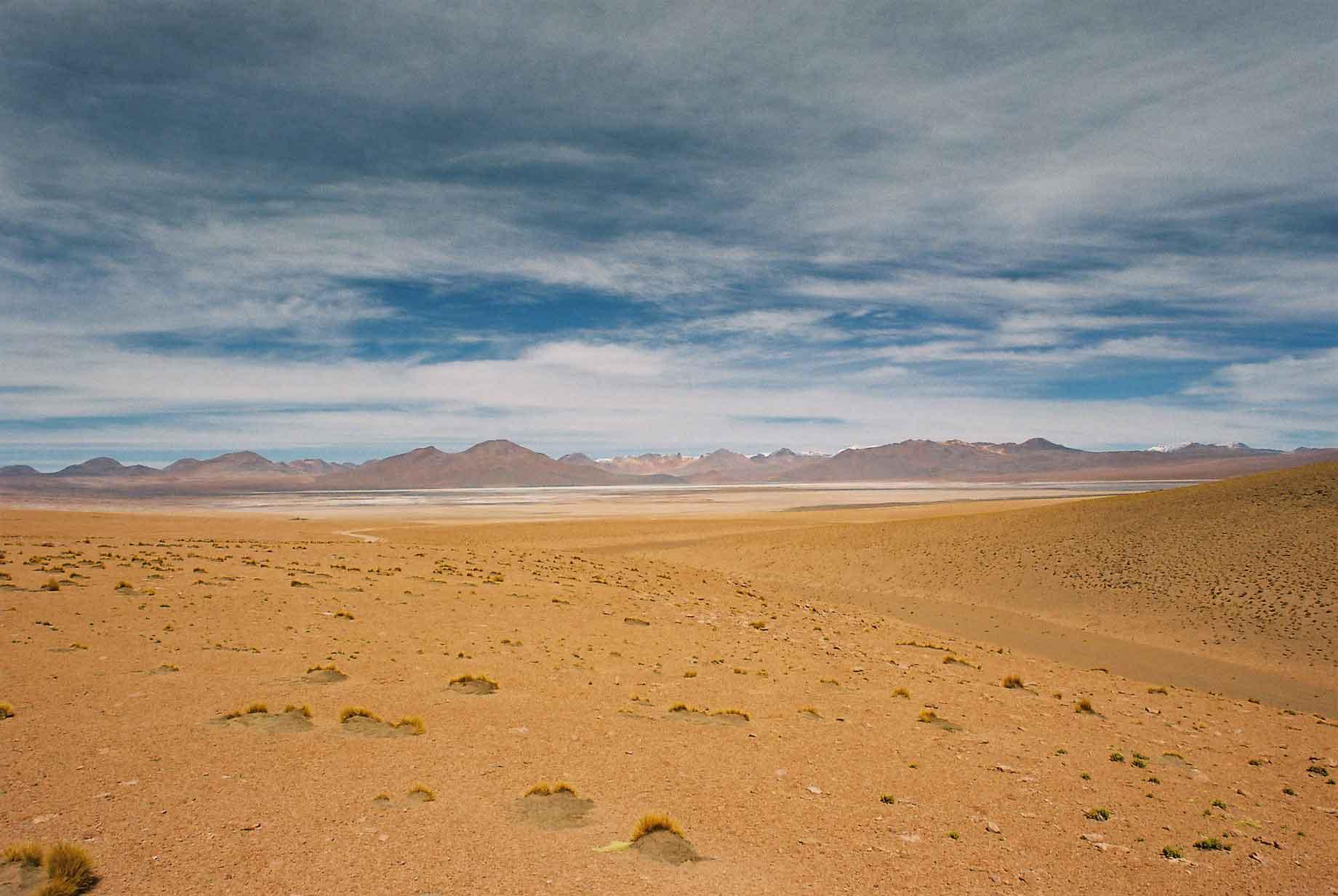
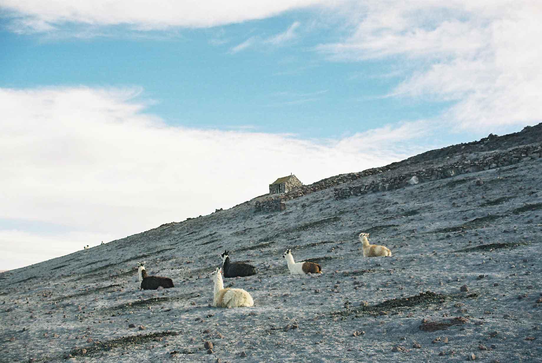
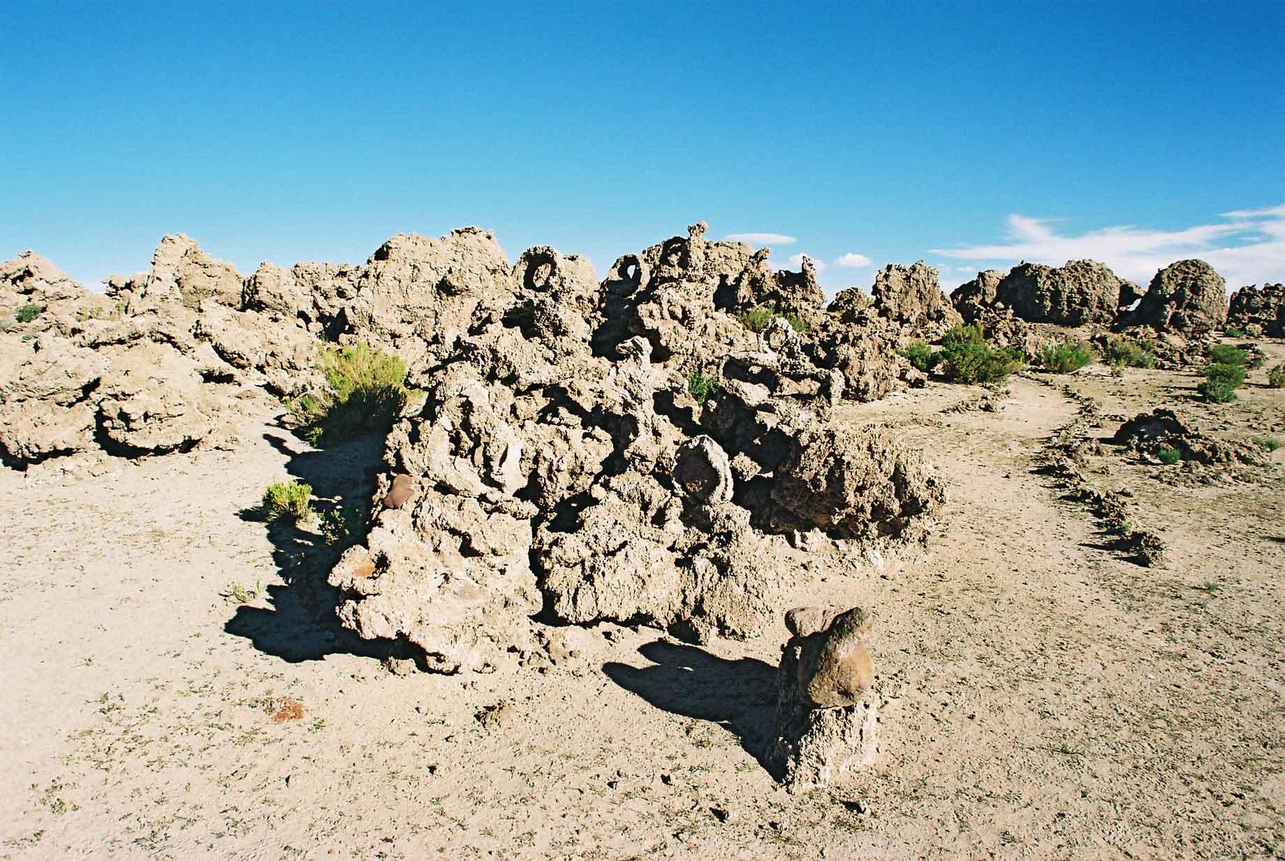
The mountains of the Altiplano give an added majesty to an already imposing landscape, I also have a bit of a penchant for a nice bit of desert that was well sated here.
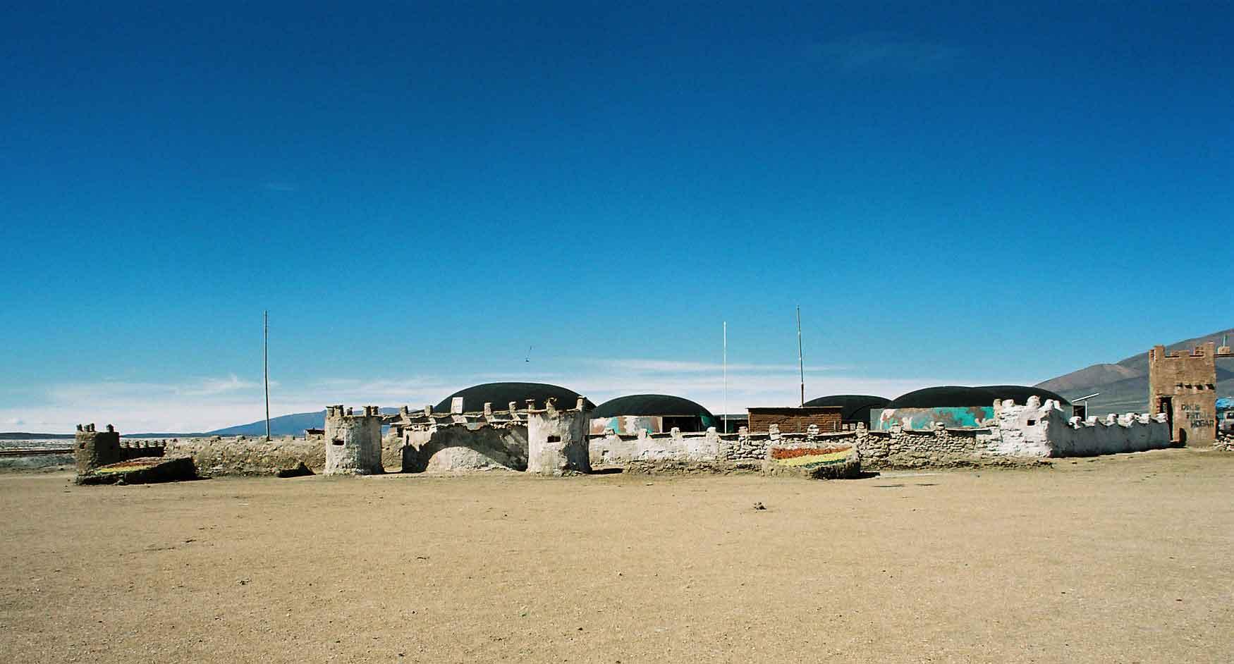
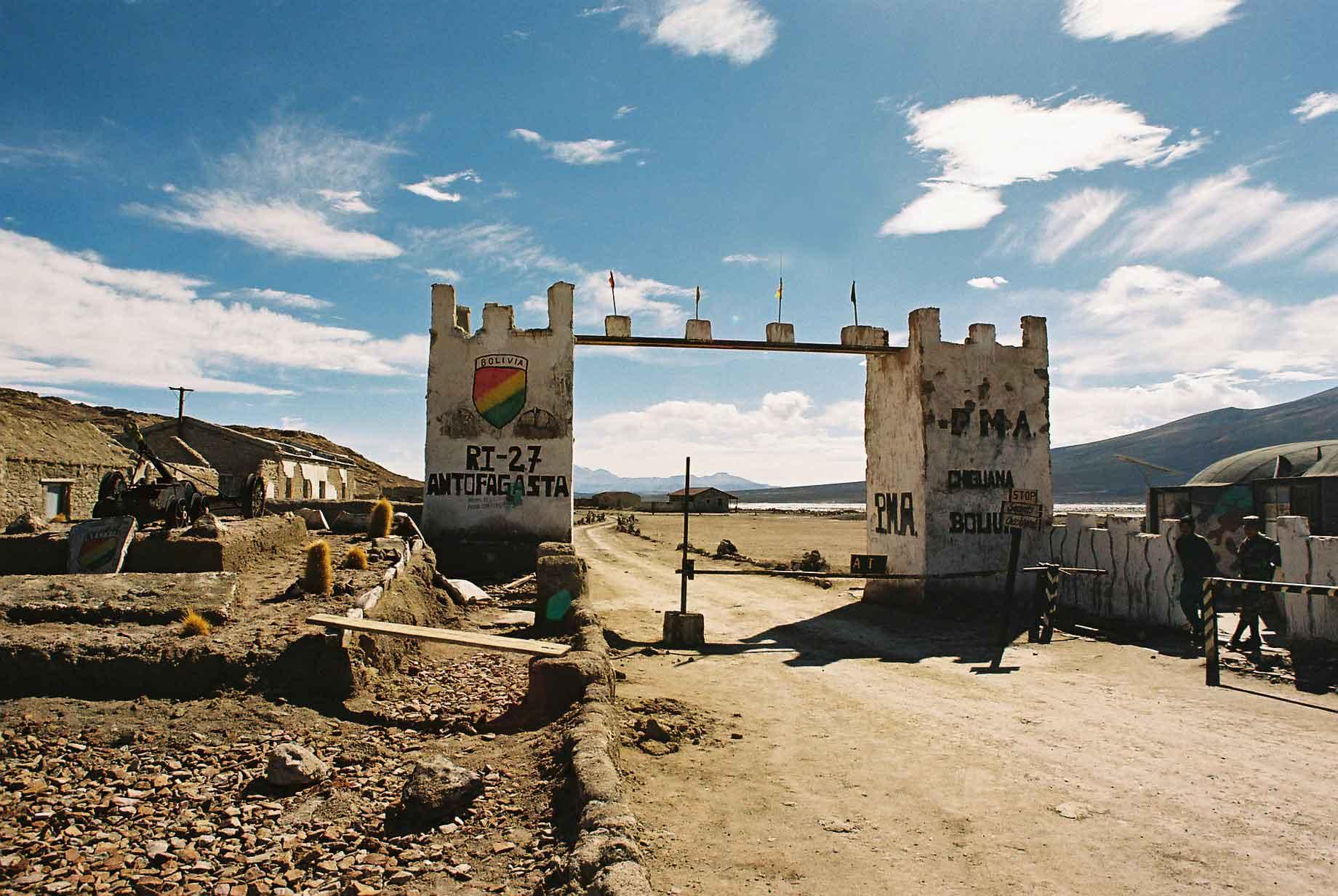
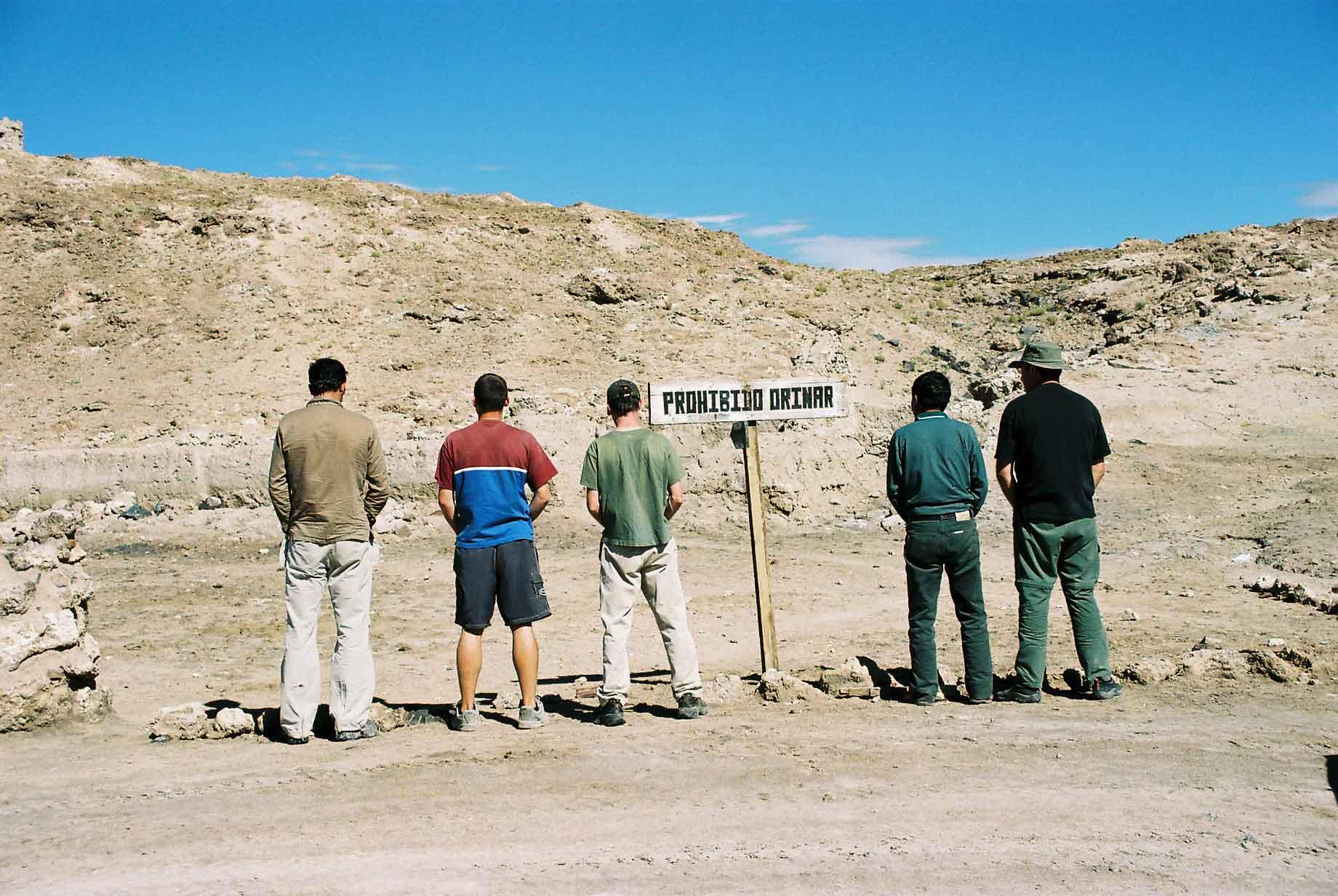
Before one reaches the Salar from the south, one comes across a military fort (photo 1) and gate (photo 2), supposedly there to stop an invasion from those pesky Chileans. I think it would be about as much use as a glass hammer should this paranoia come to fruition. The second time I was there, it appeared to be empty anyway. We saw a sign that said 'Prohibido Orinar' - Pissing Prohibited (photo 3), so decided to take a picture of all the guys ignoring it.
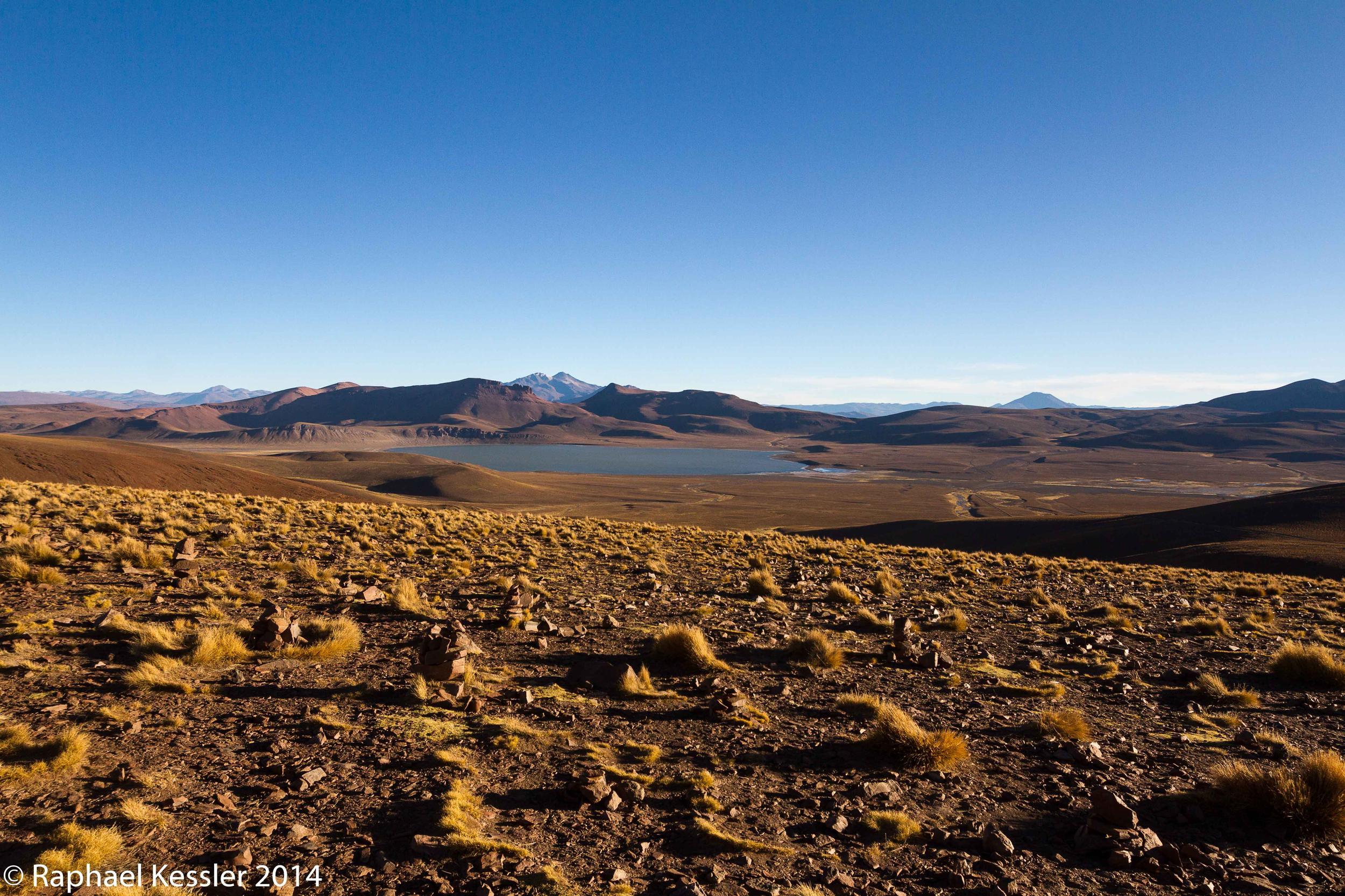
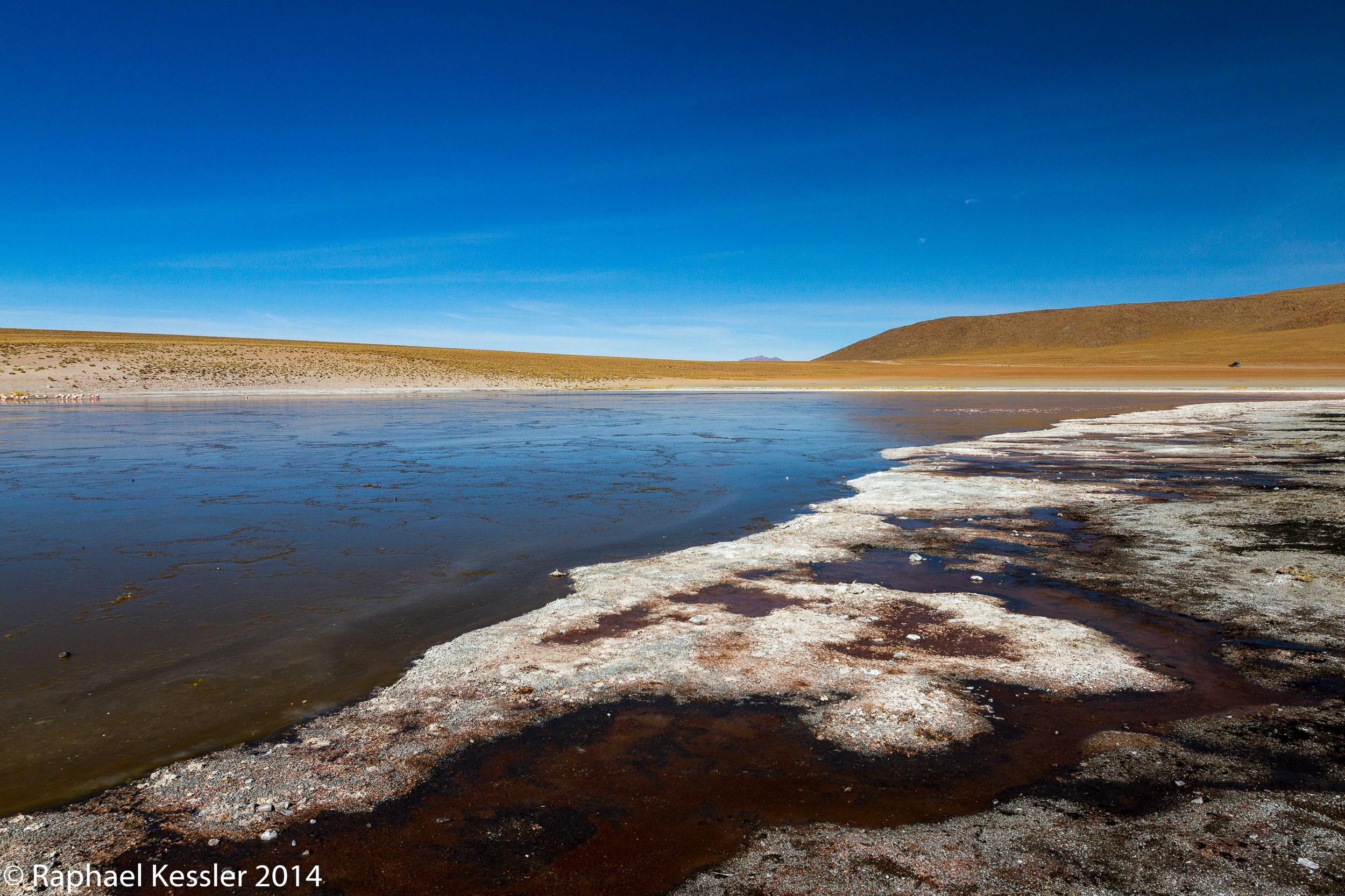
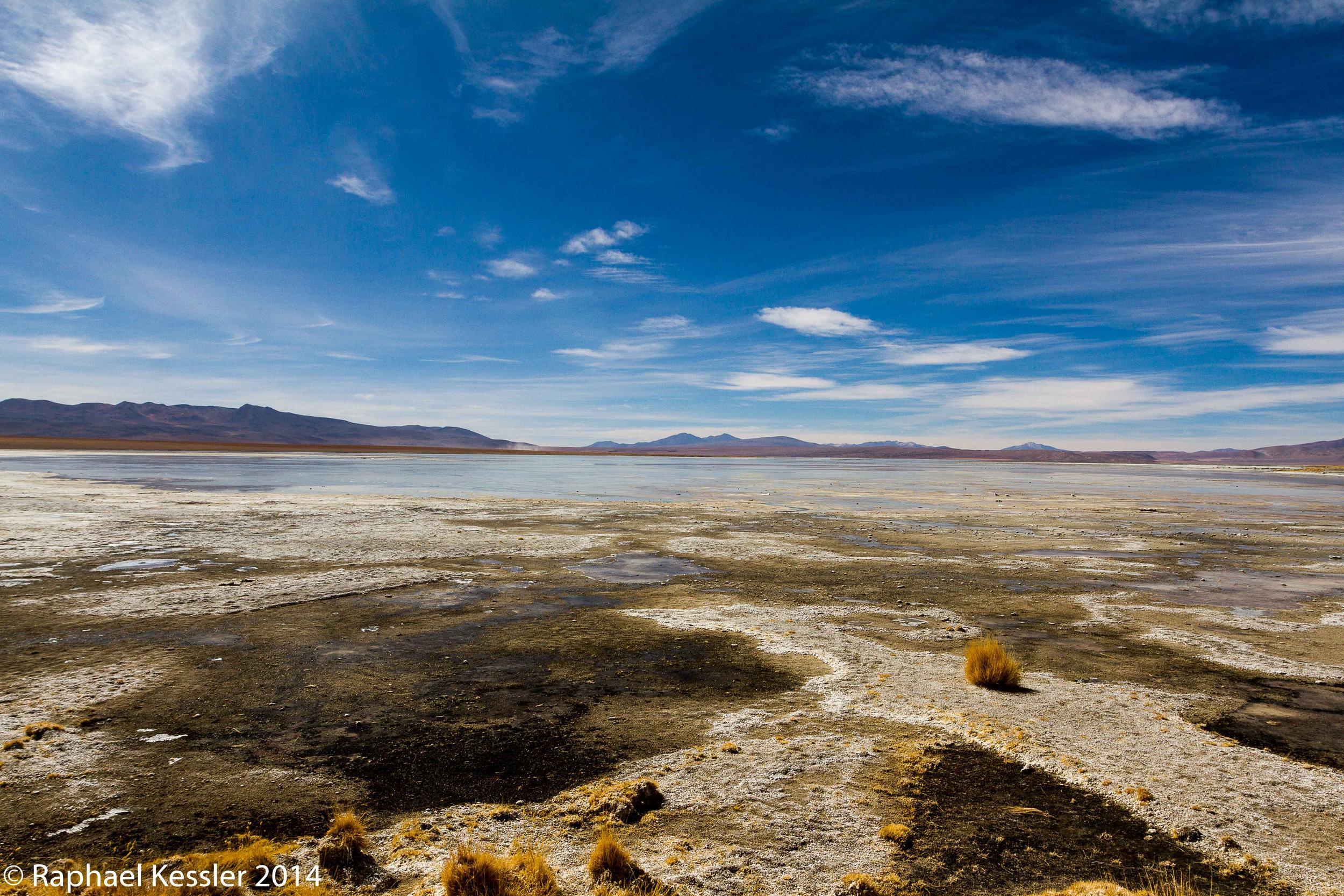
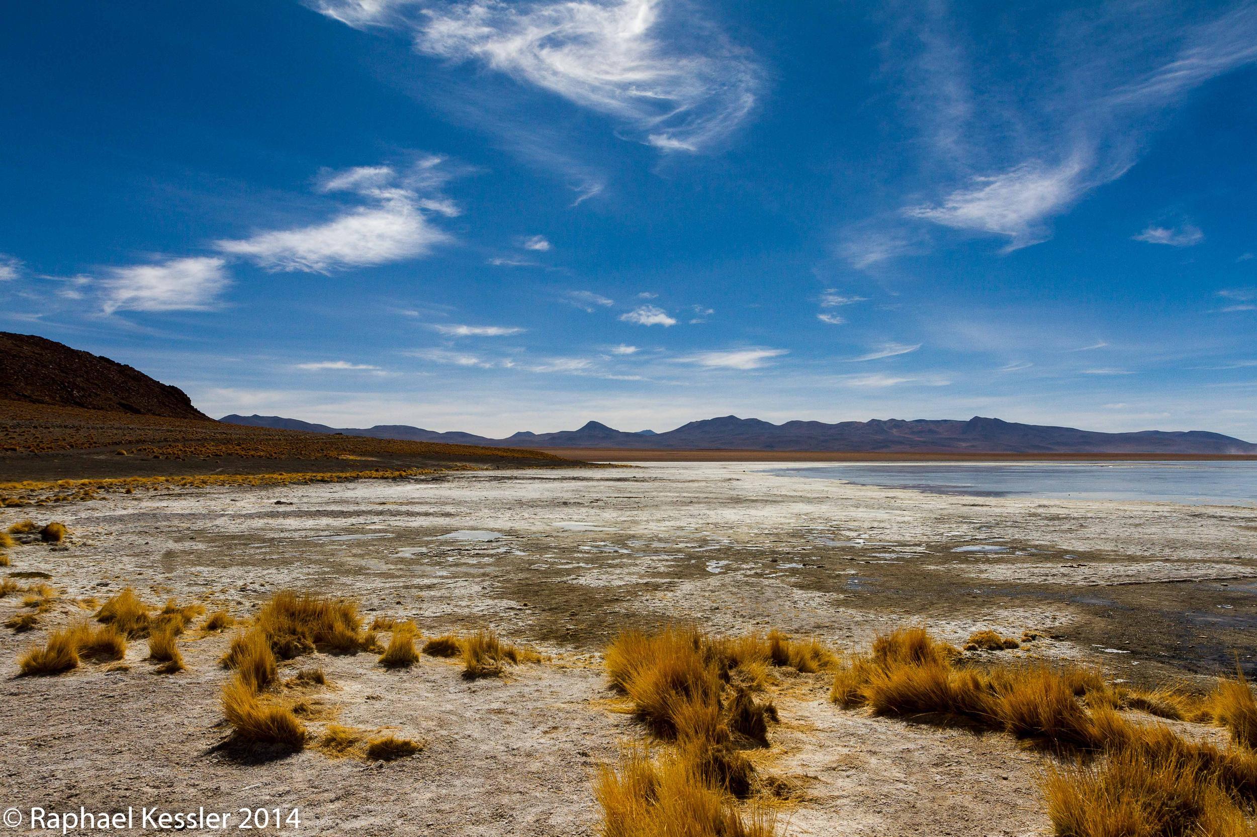
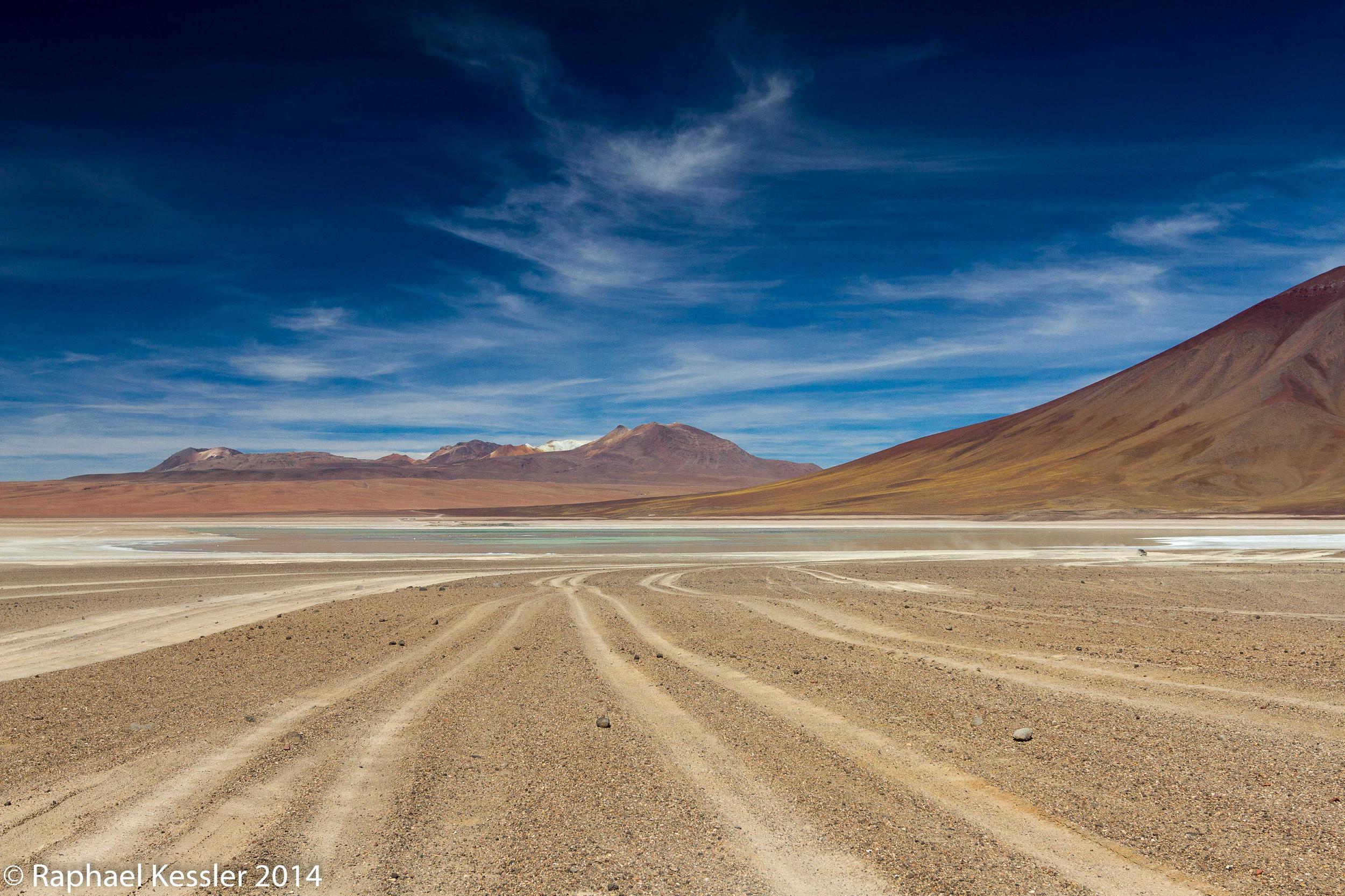
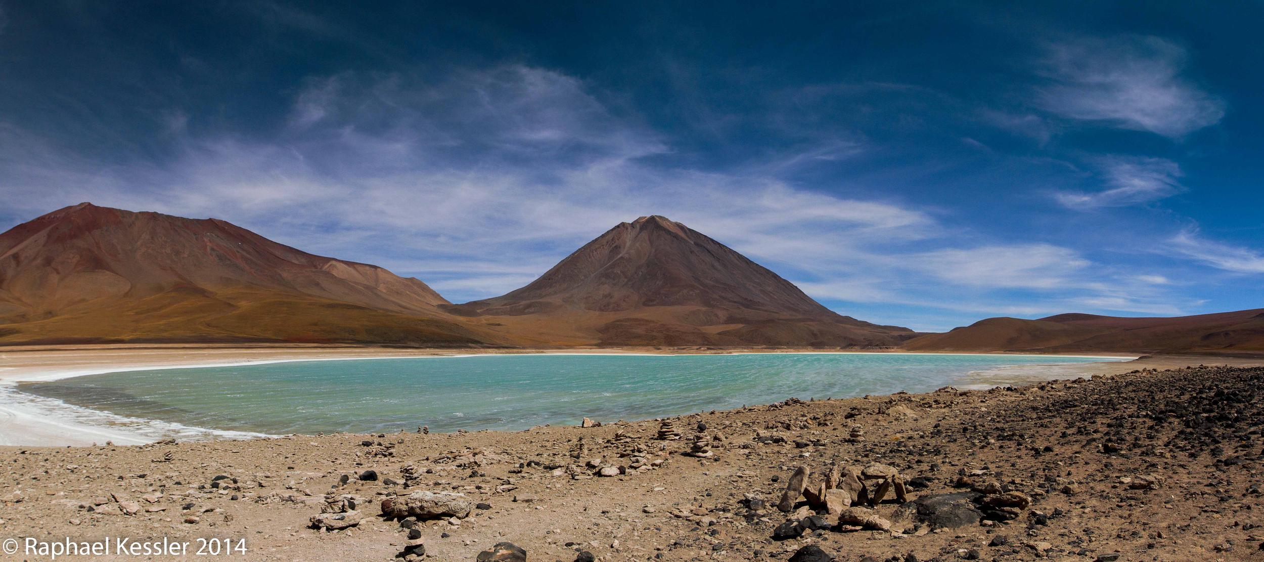
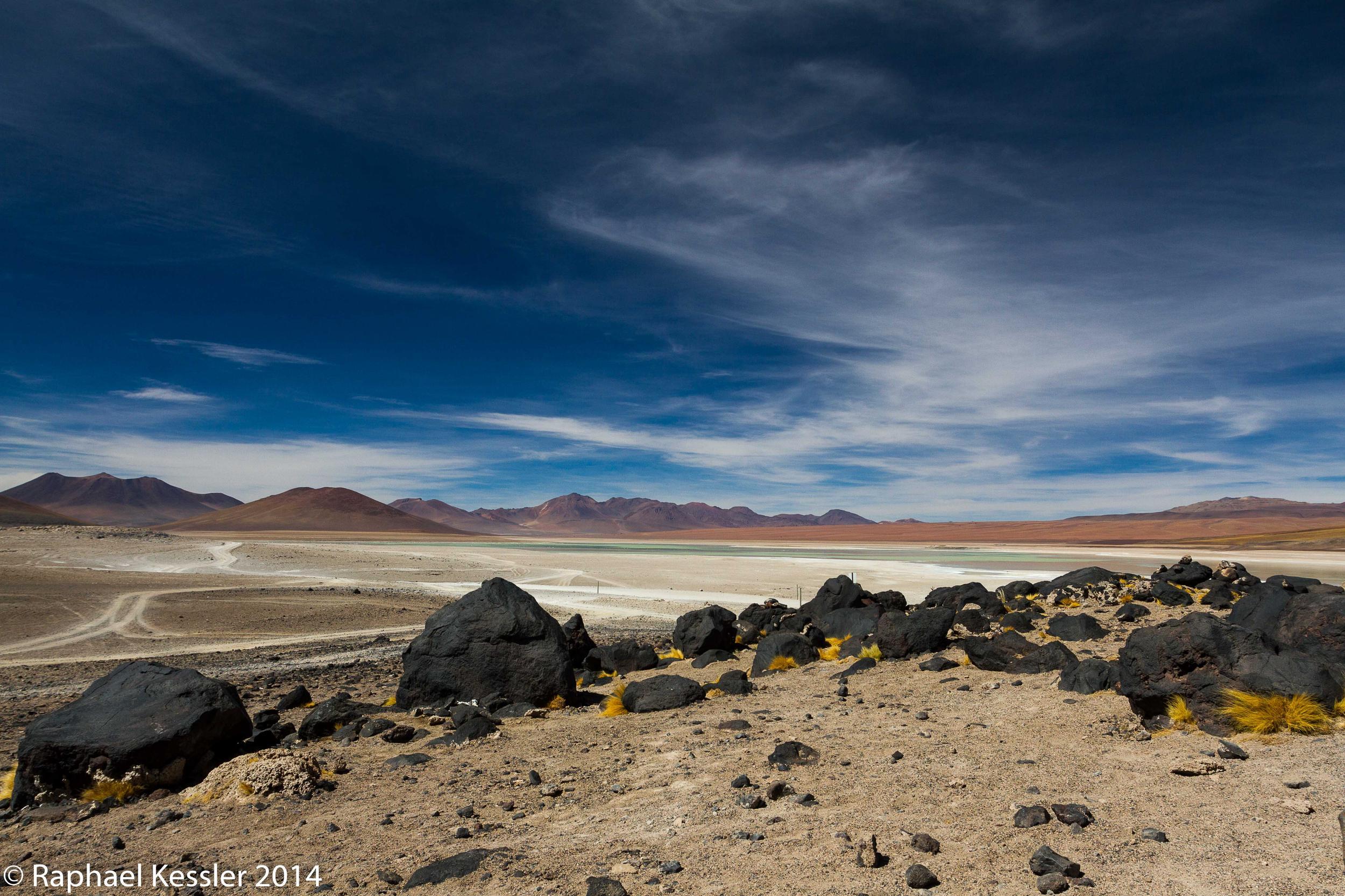
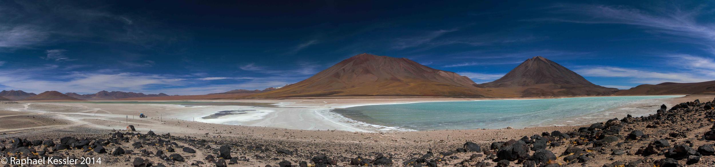
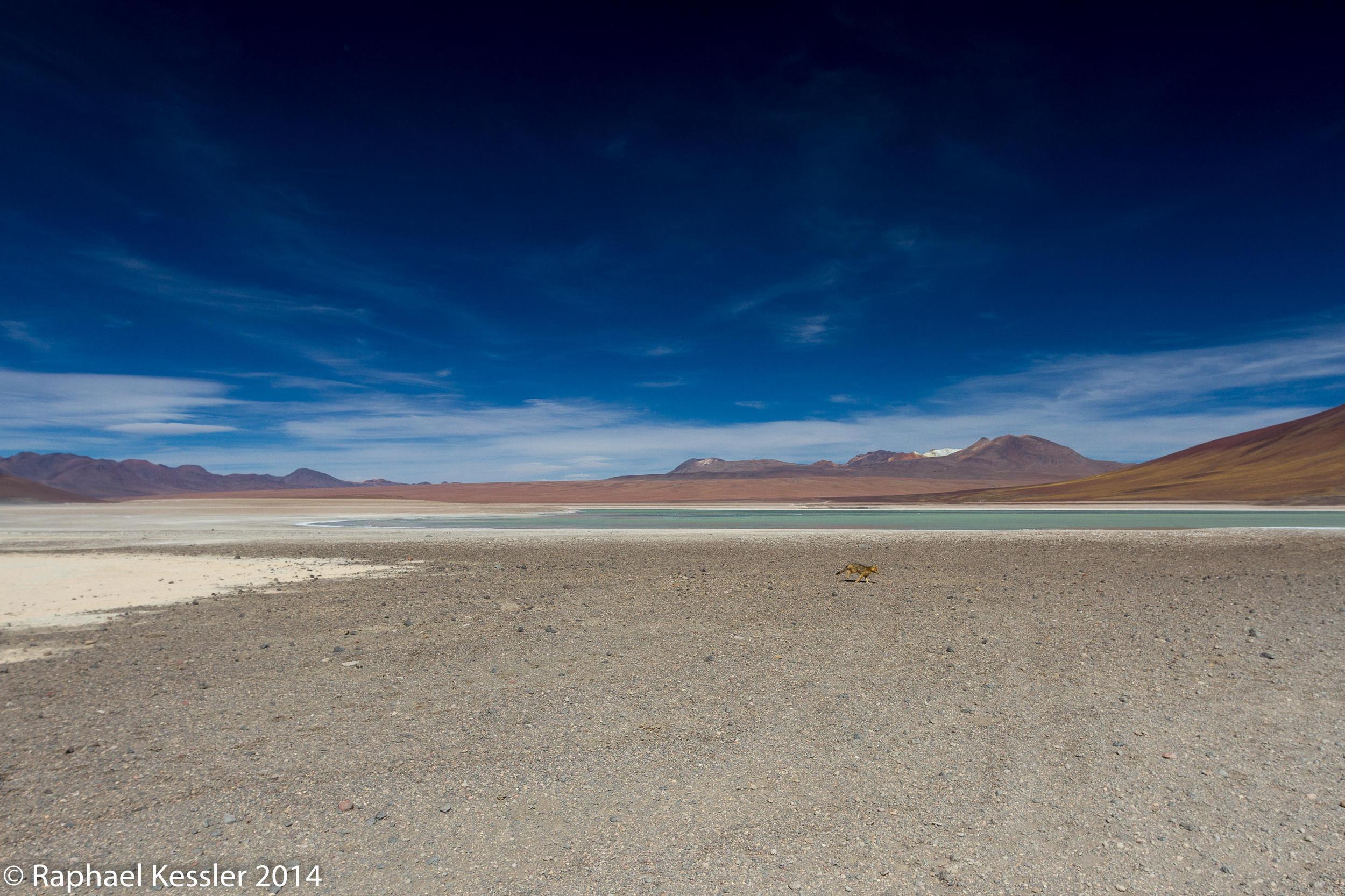
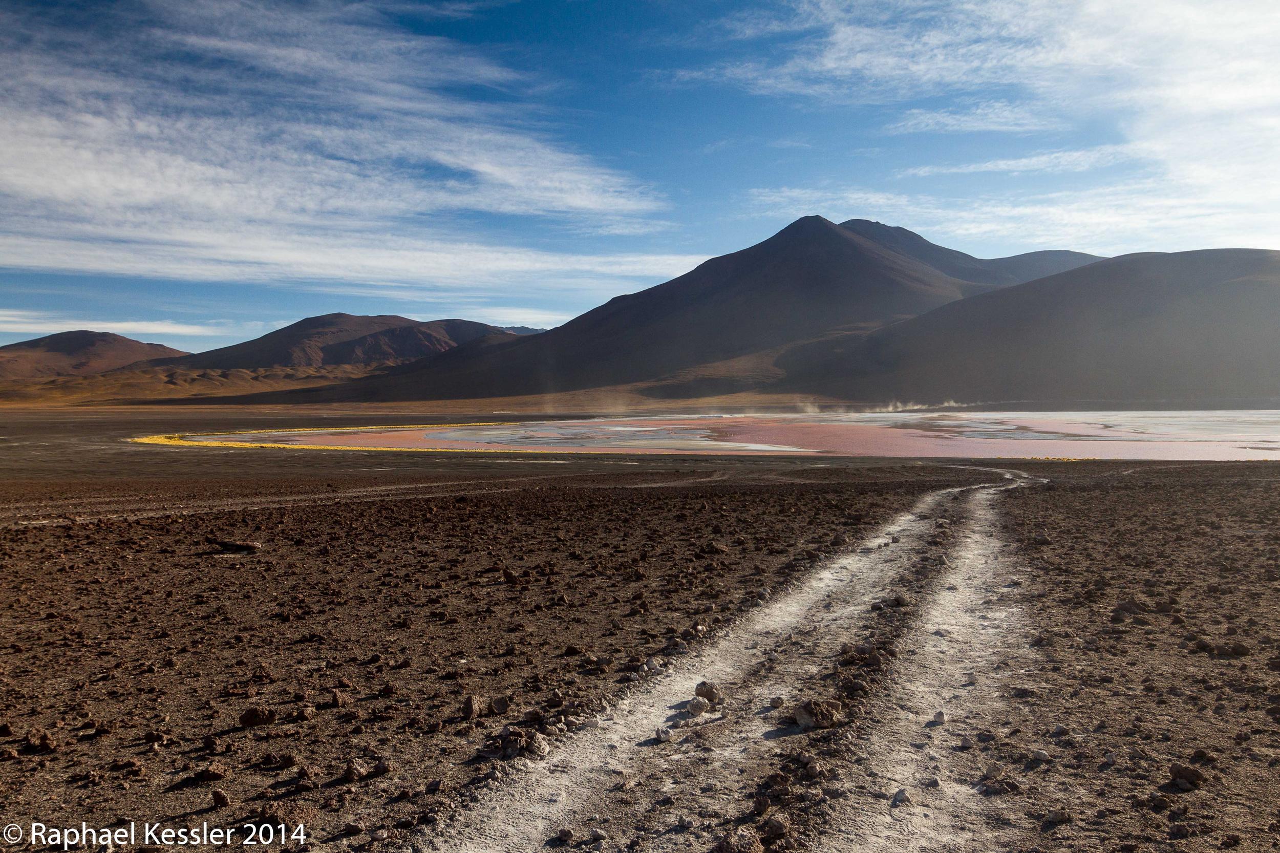
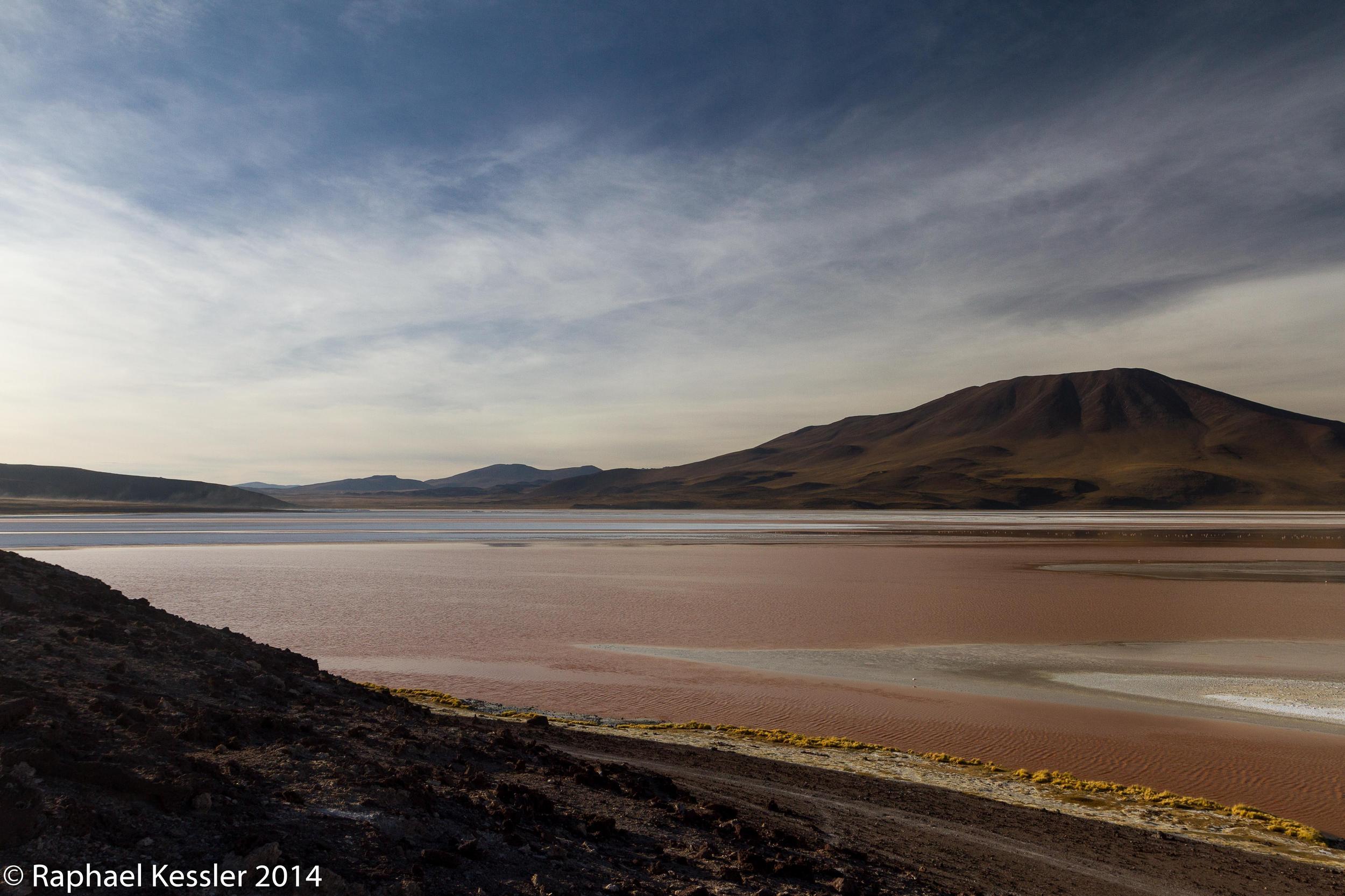
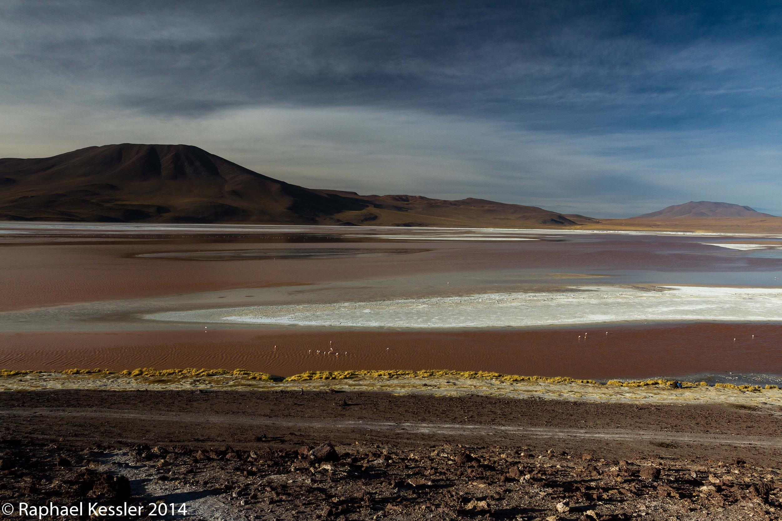
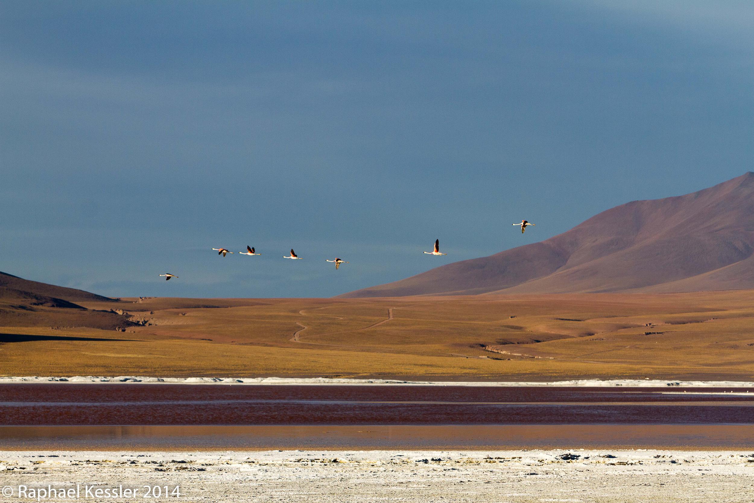
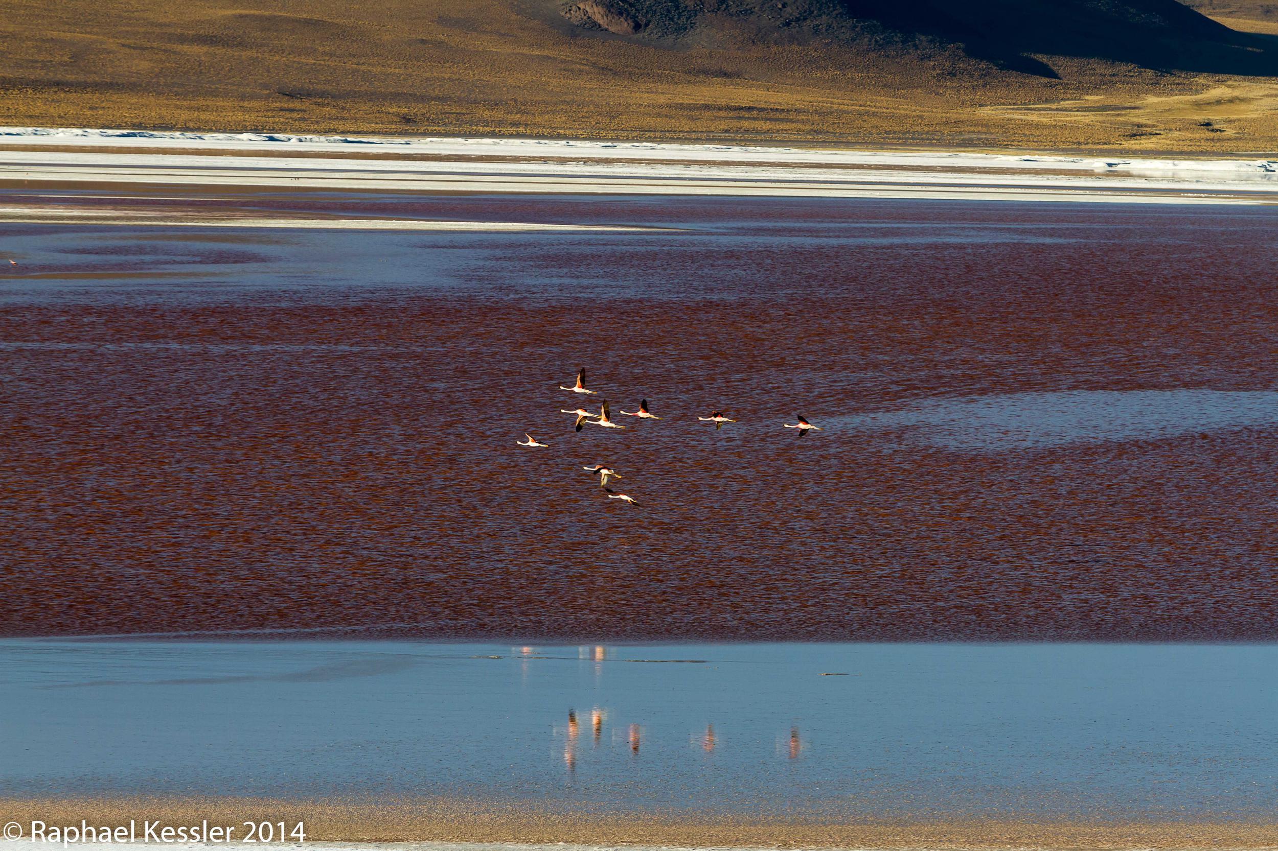
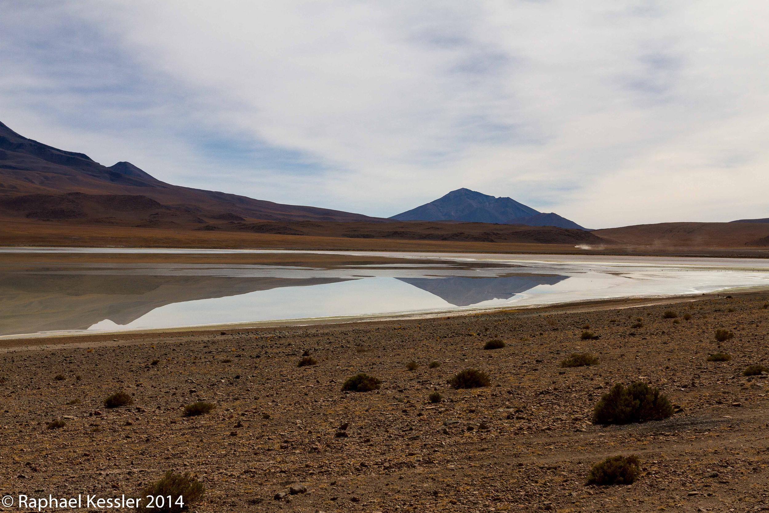
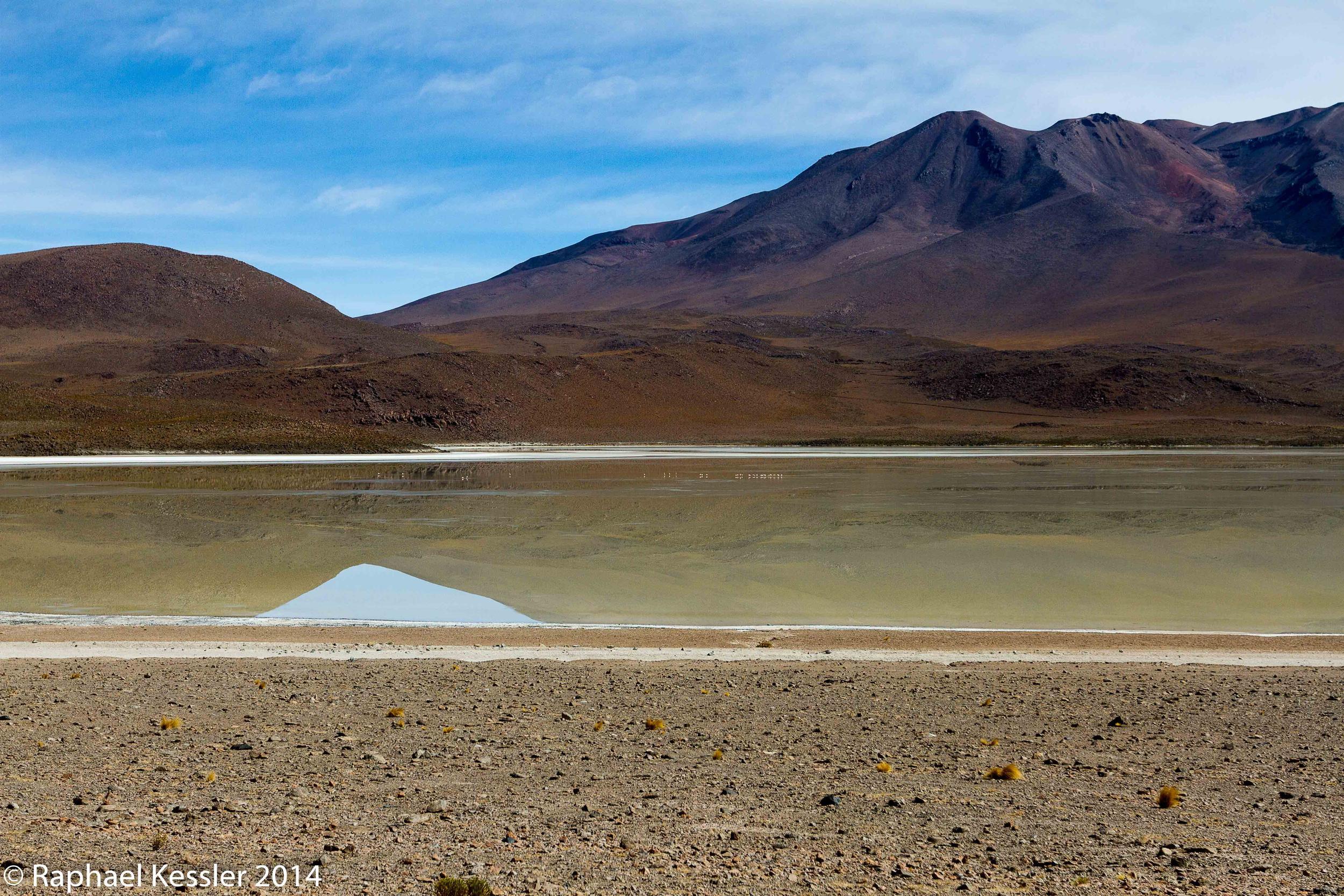
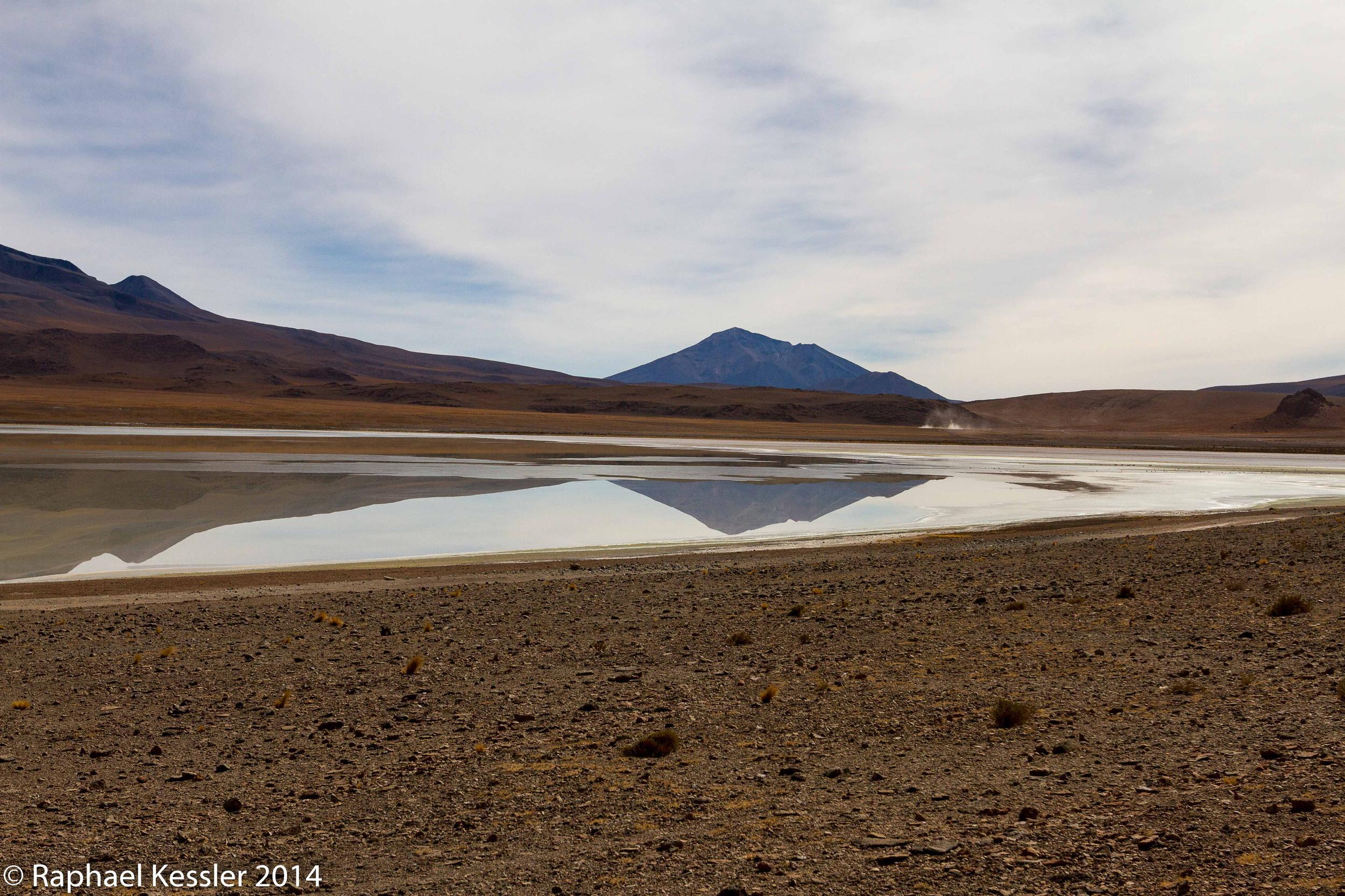
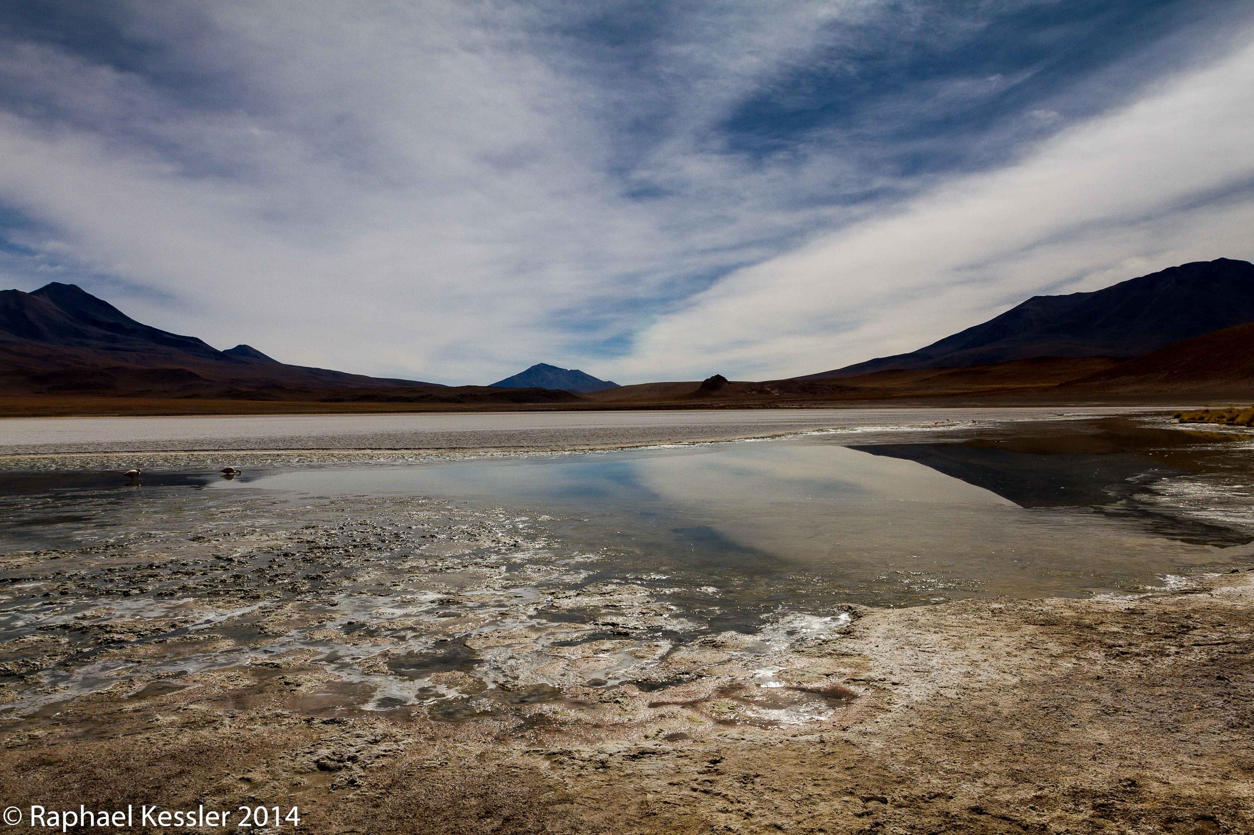
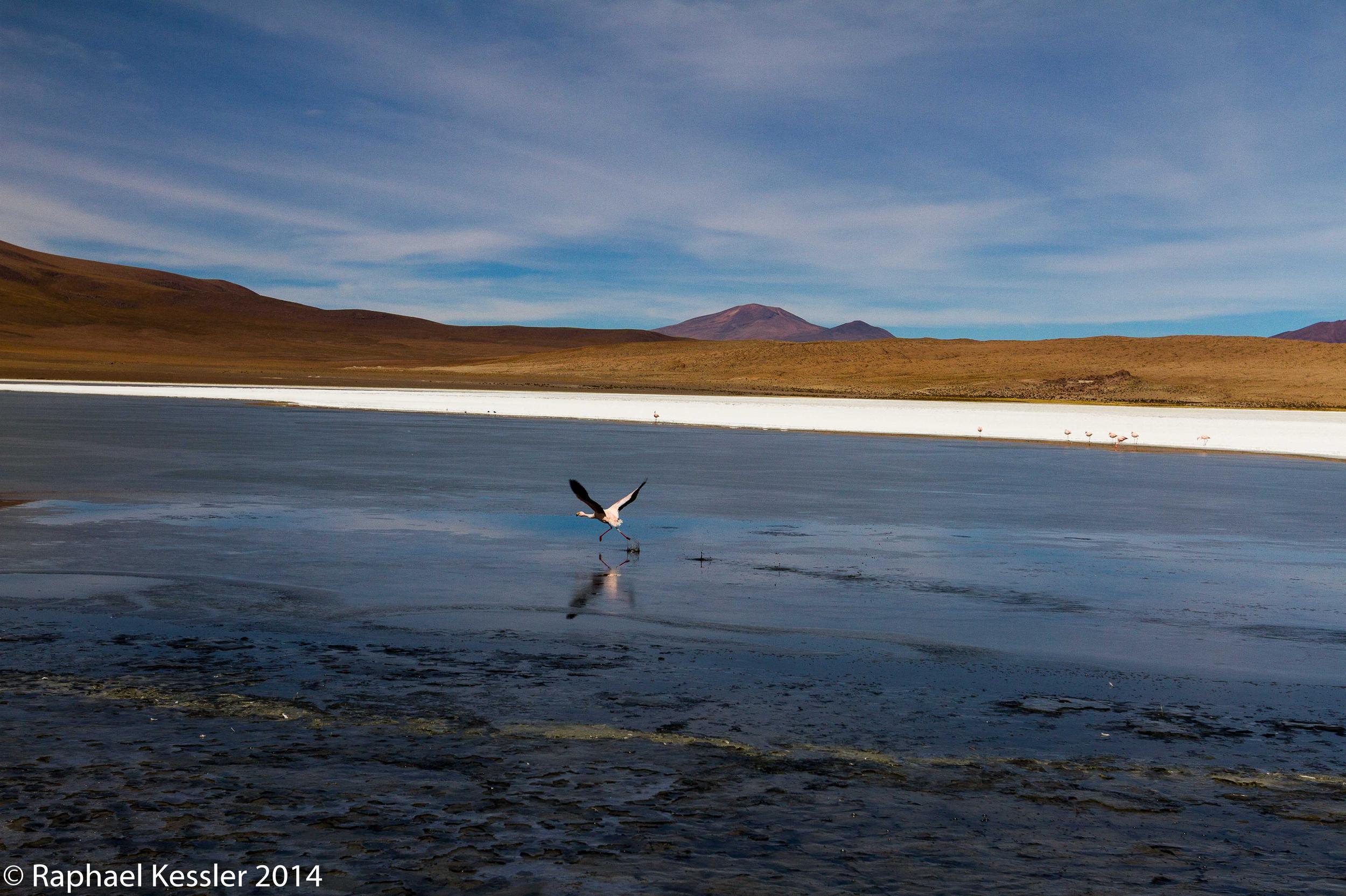
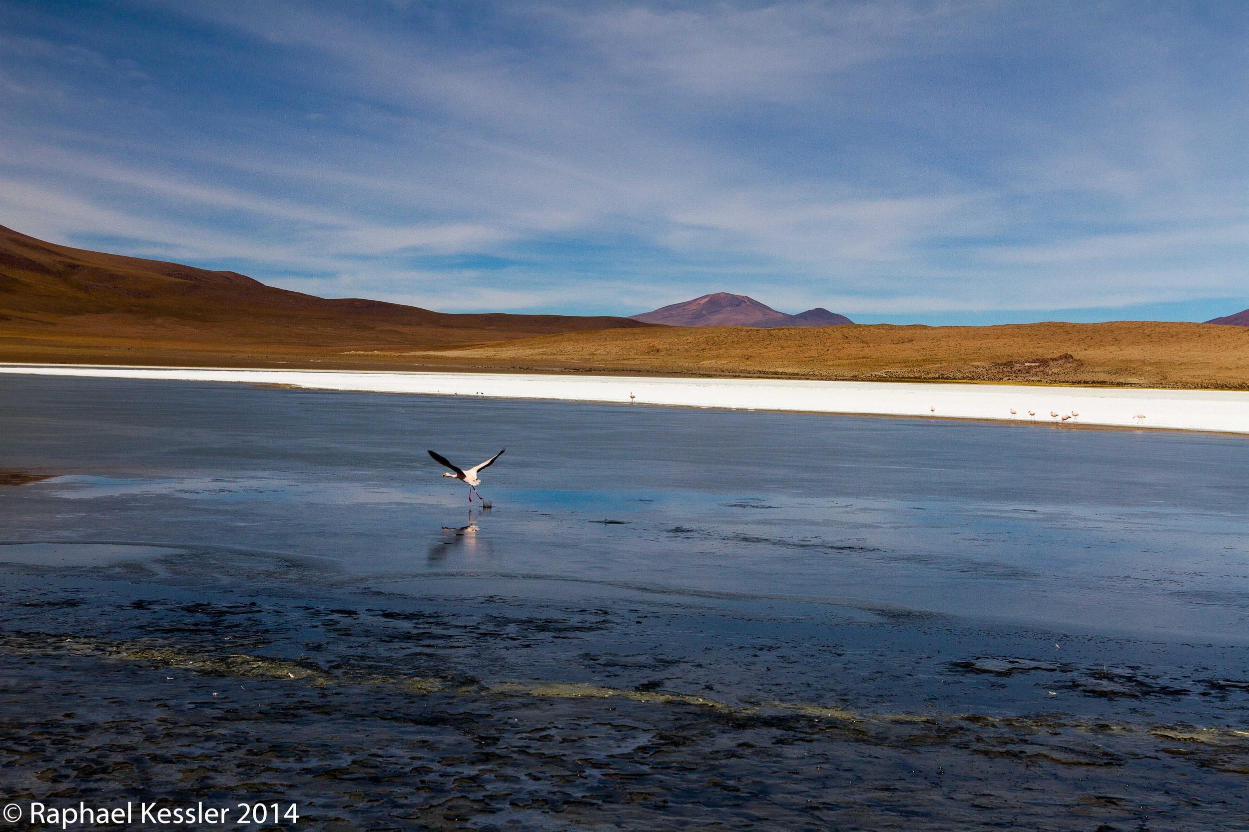
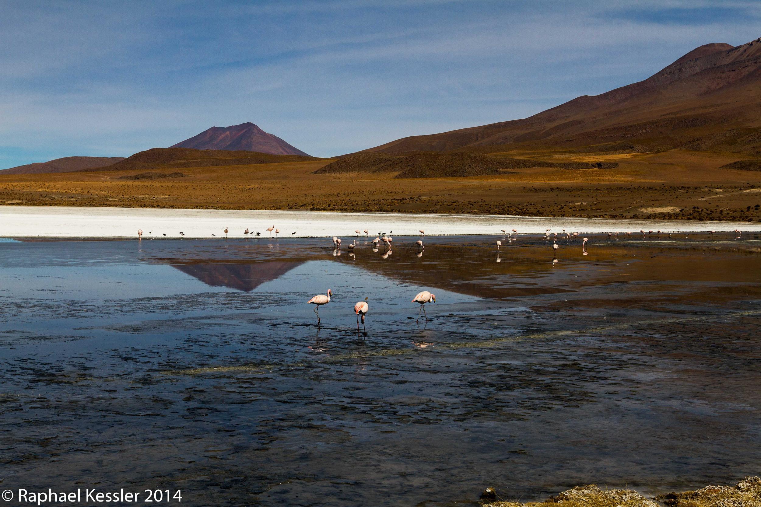
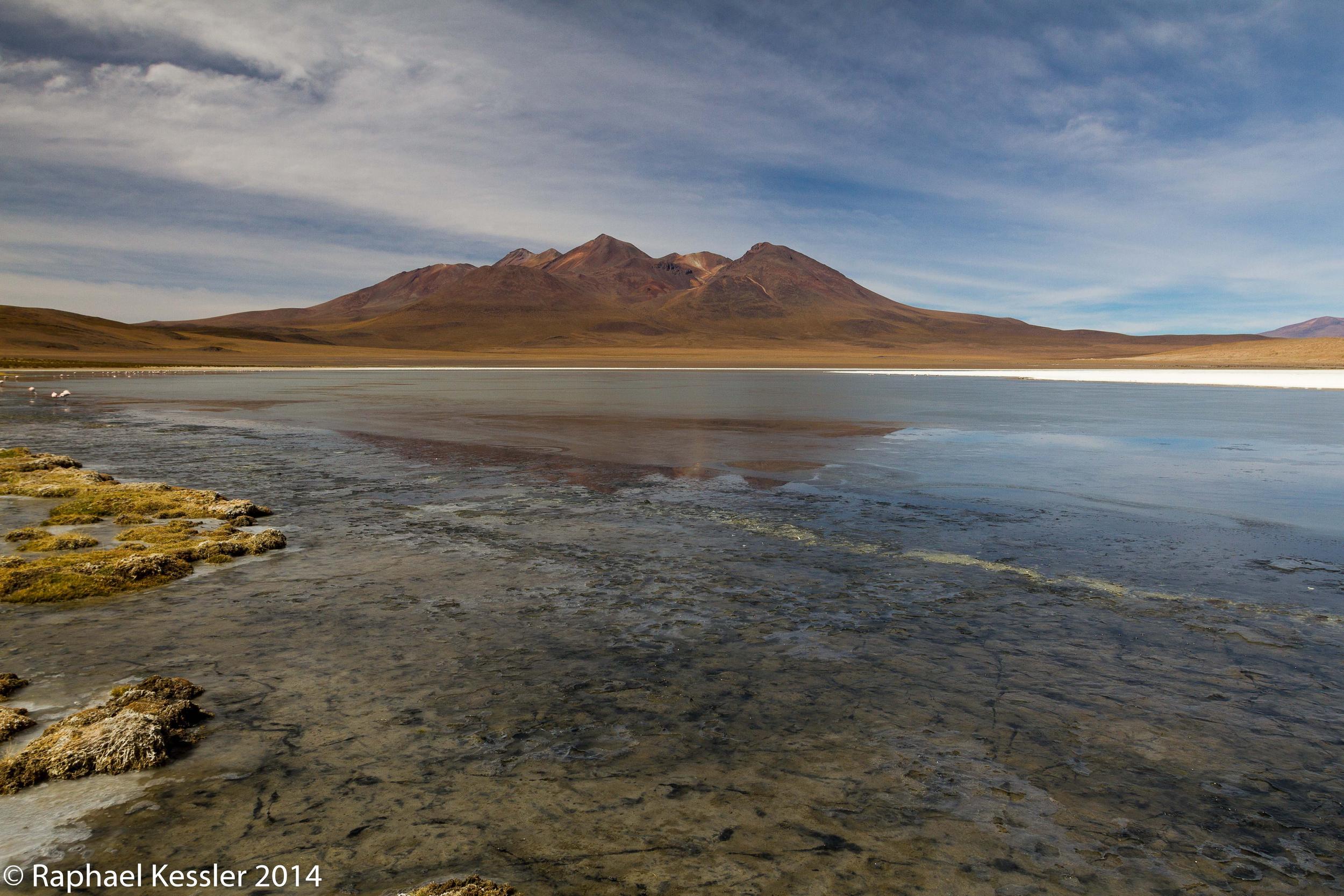
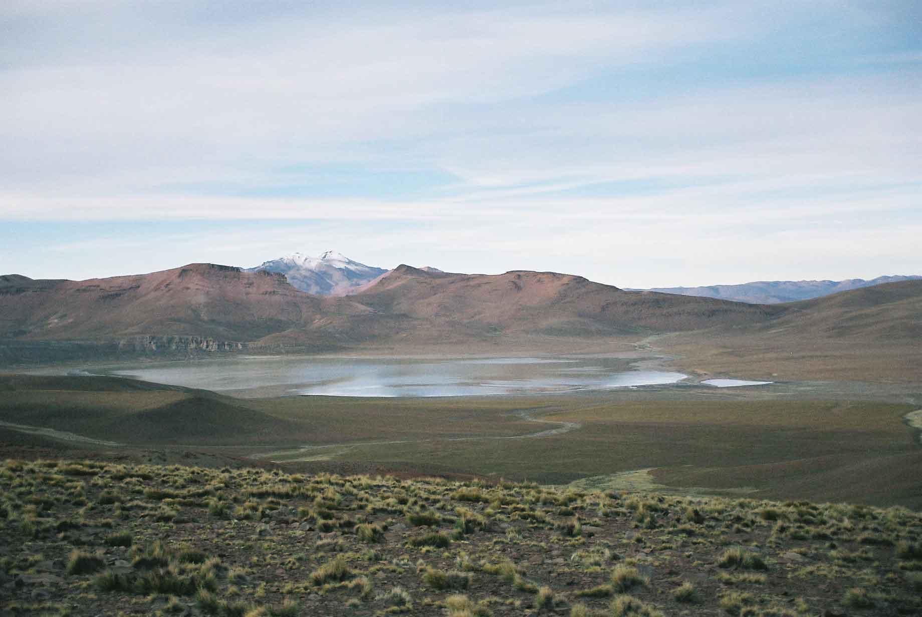
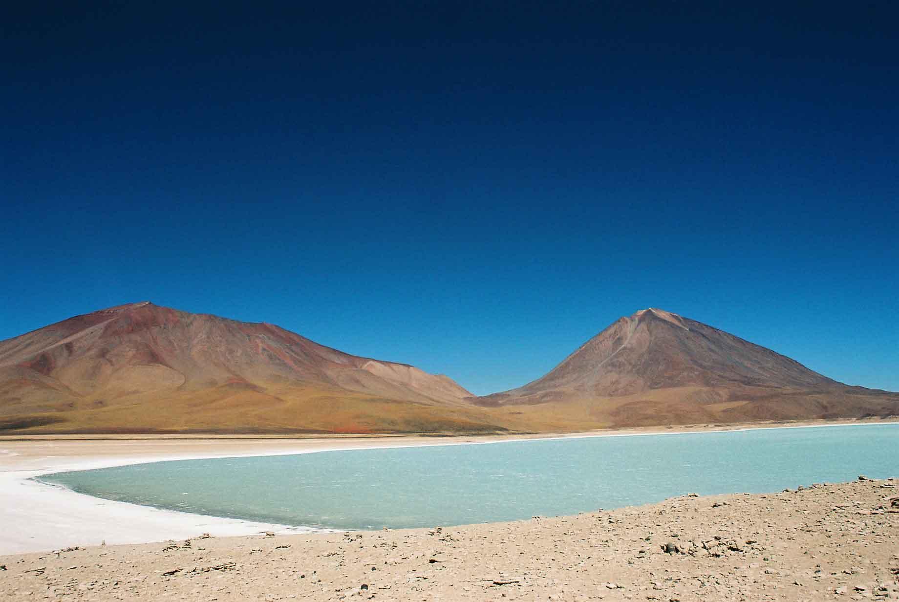
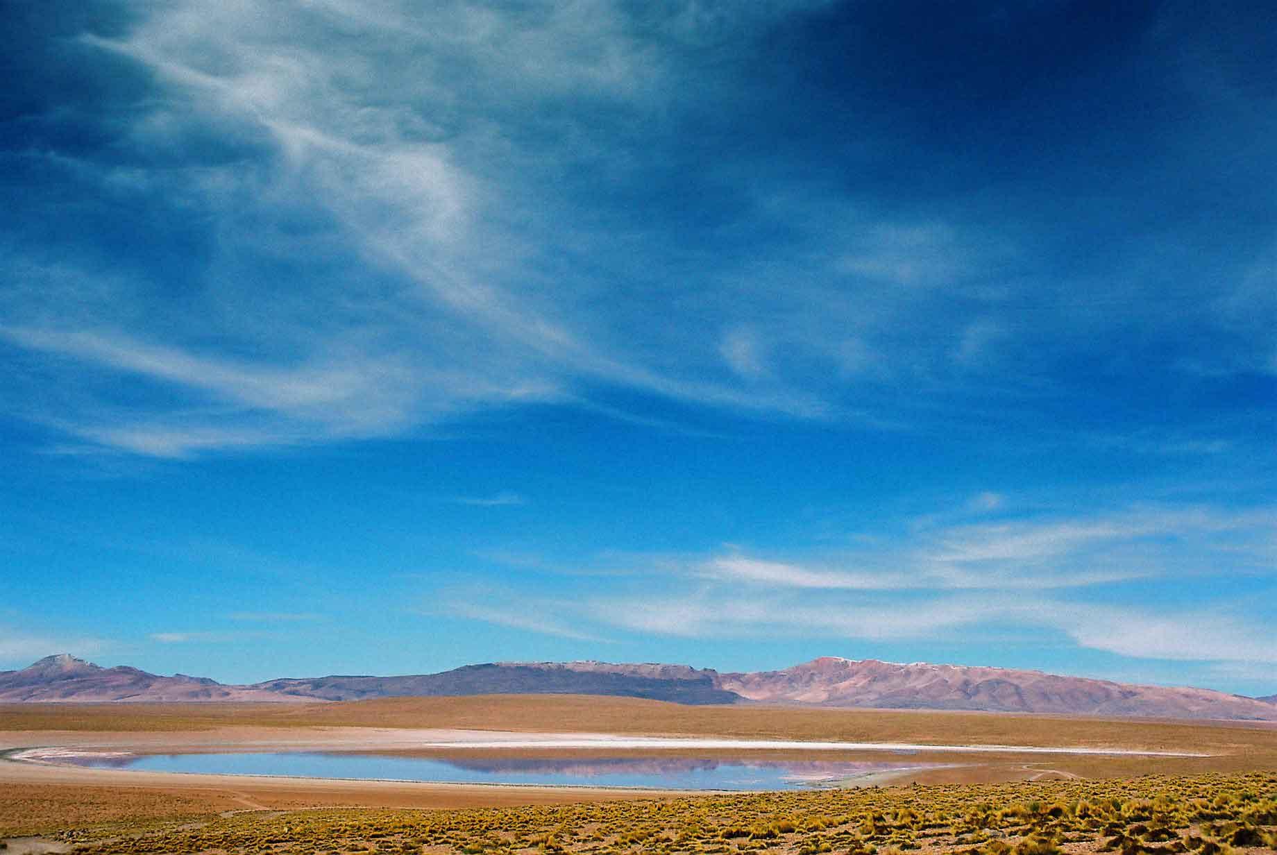
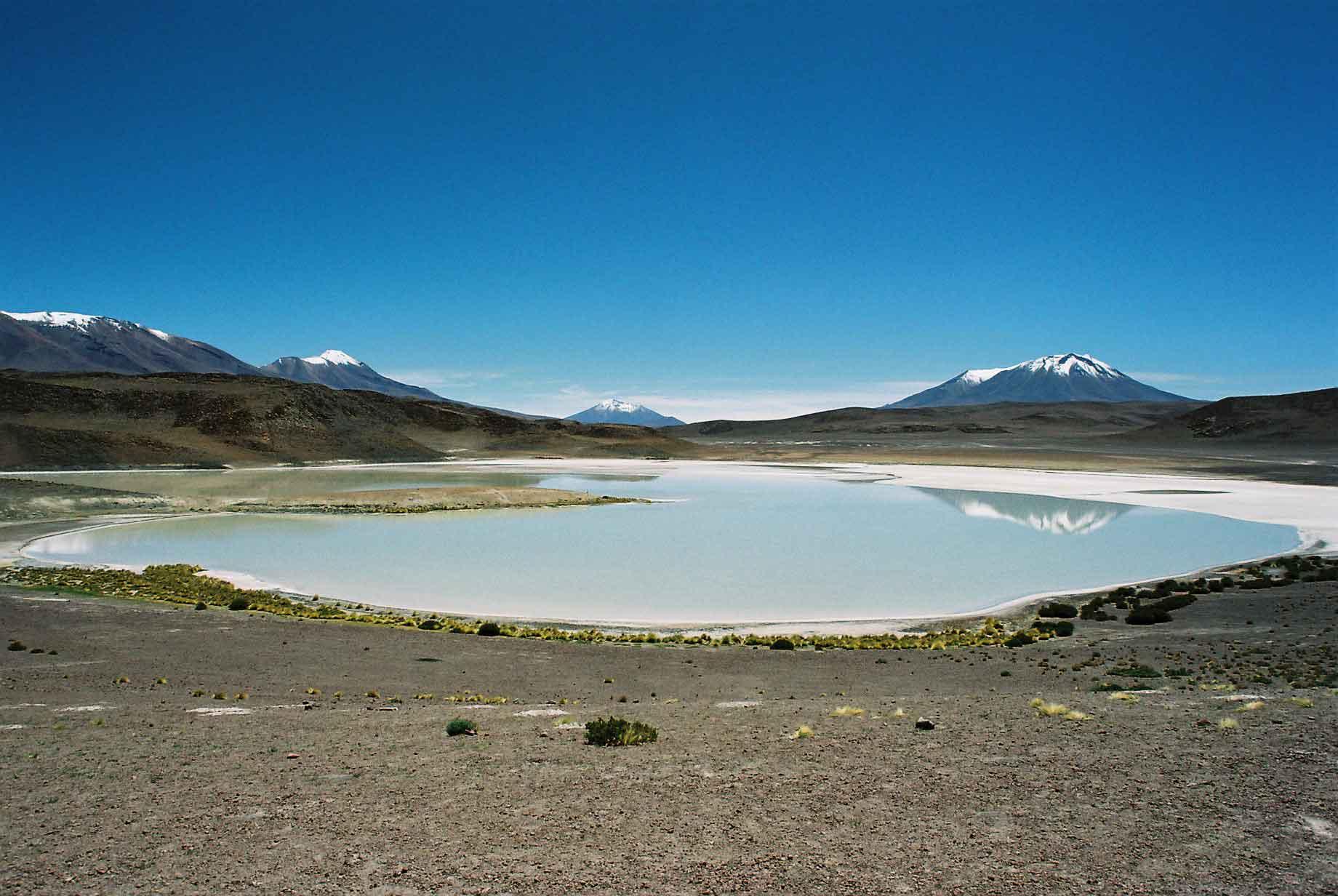
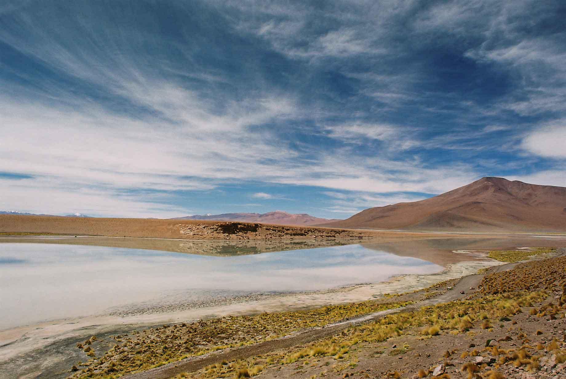
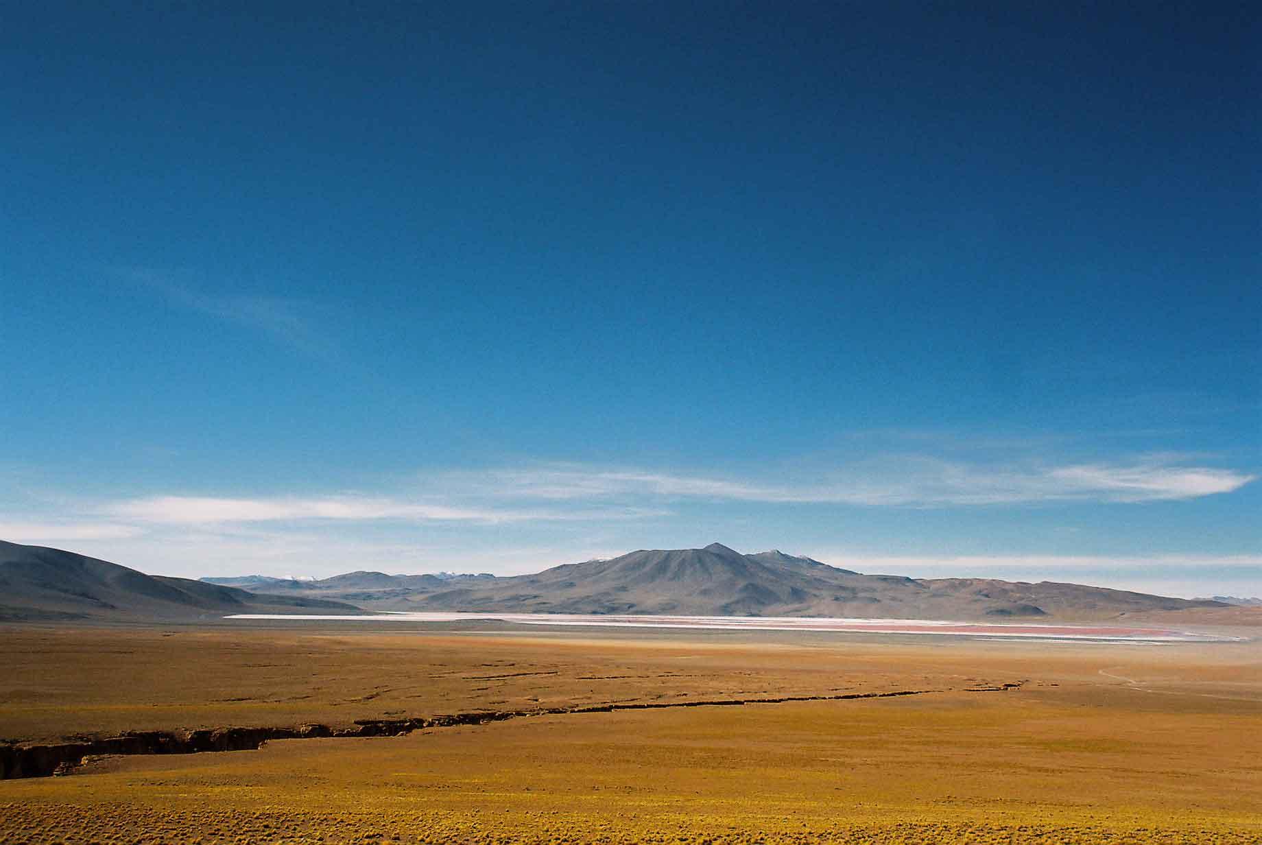
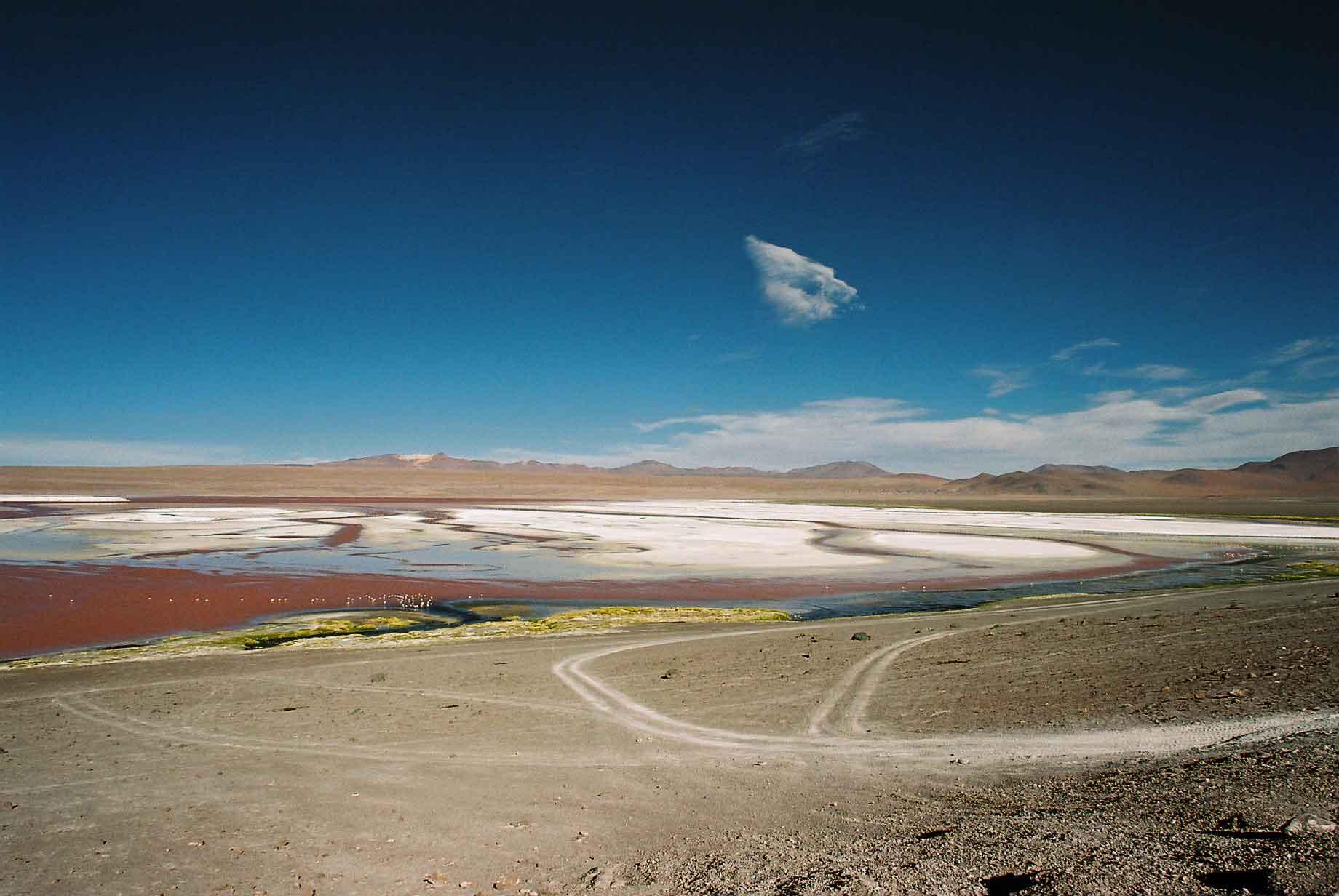
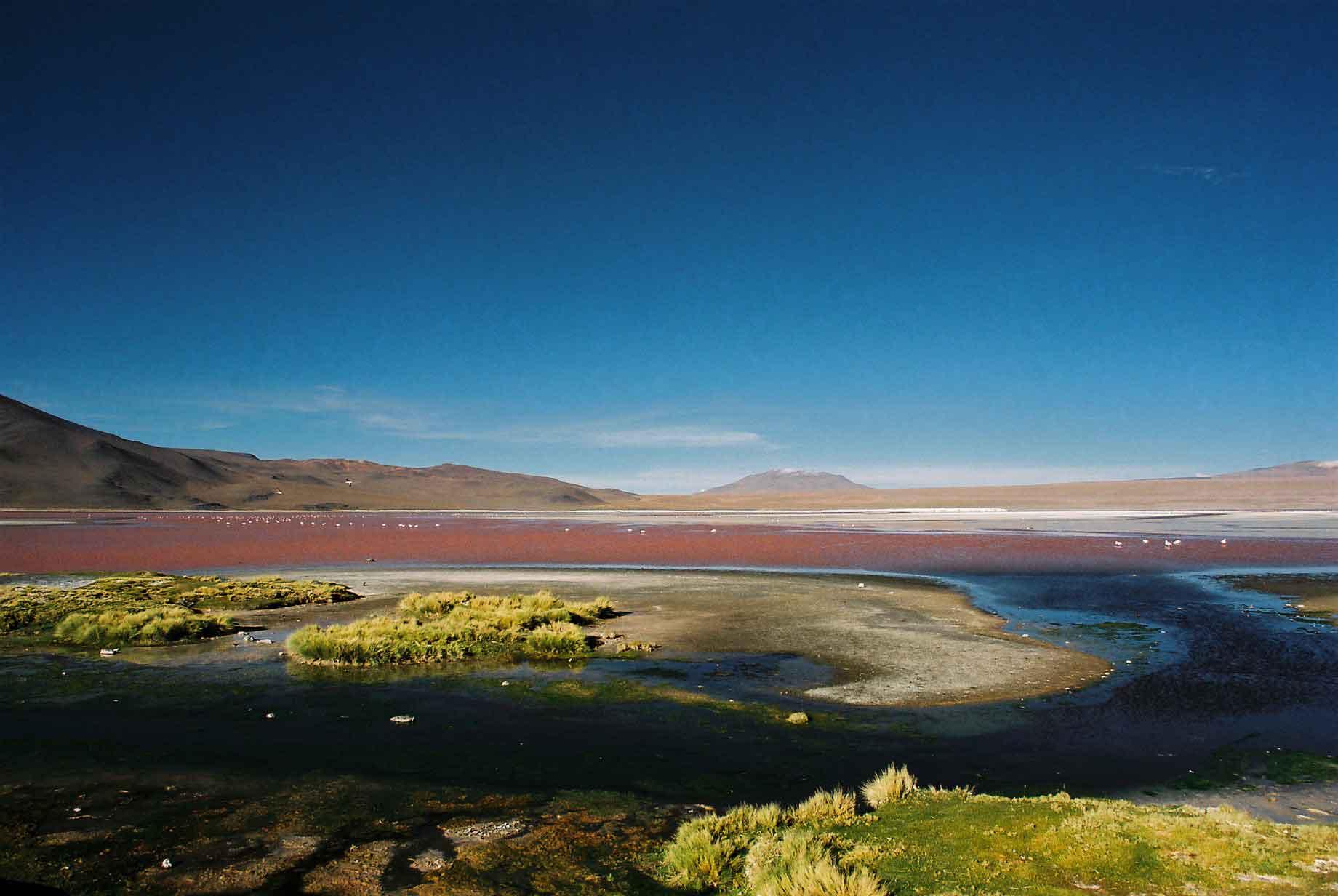
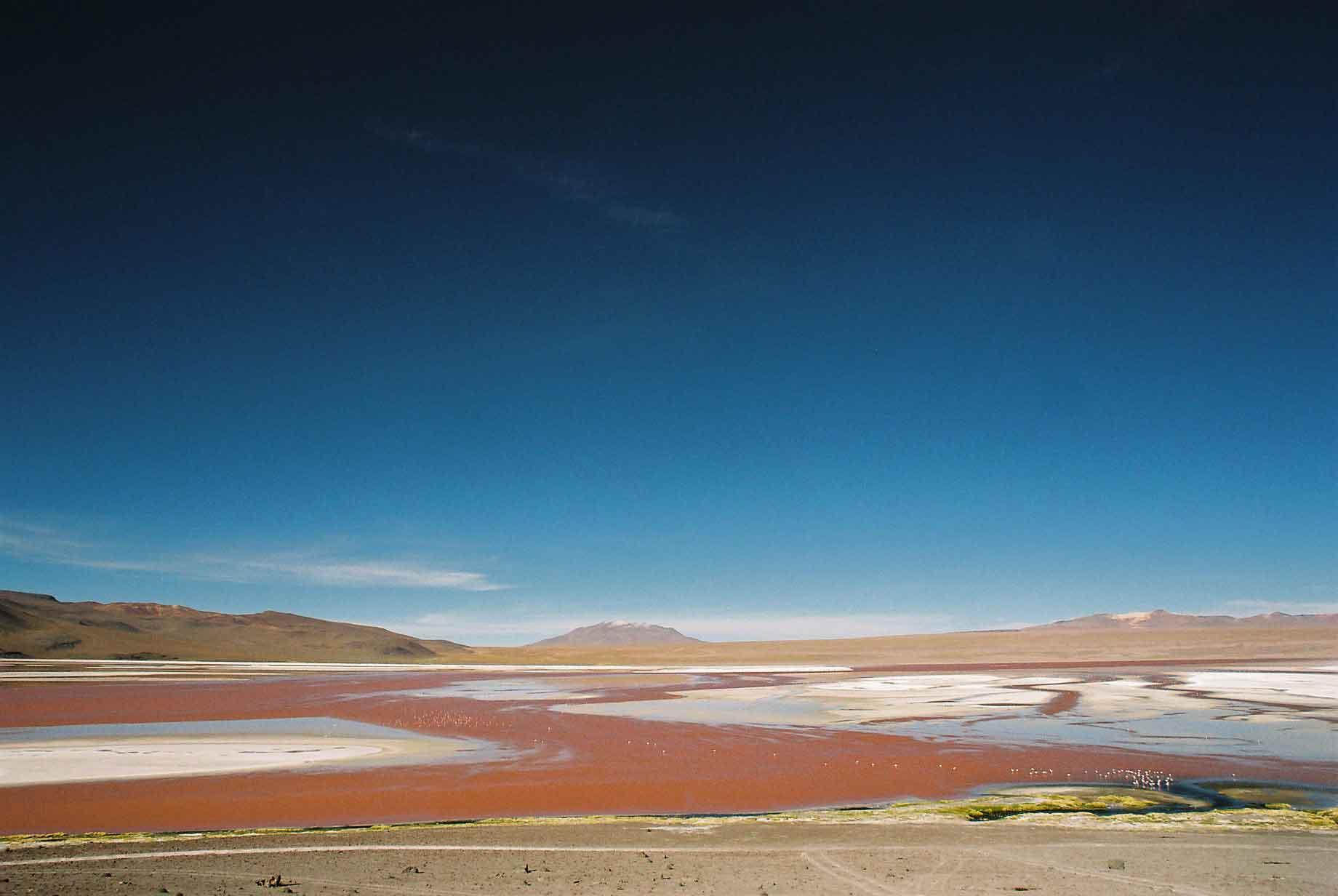
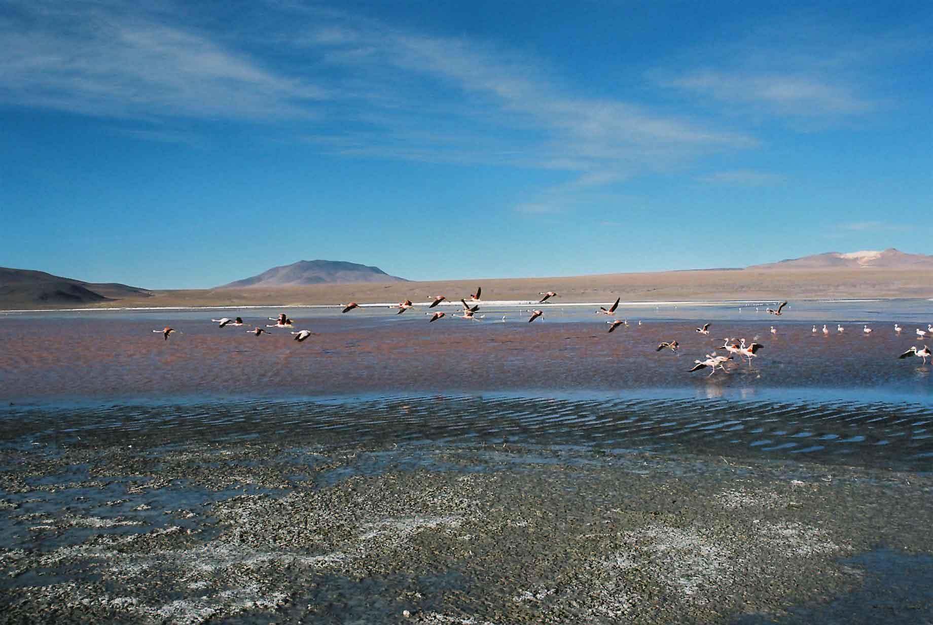
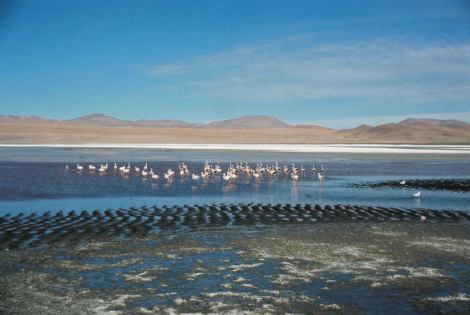
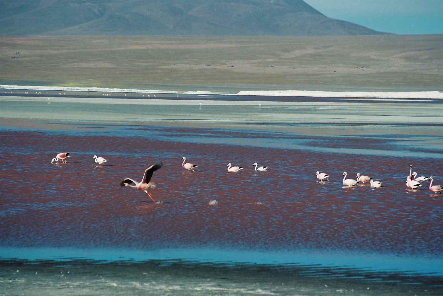
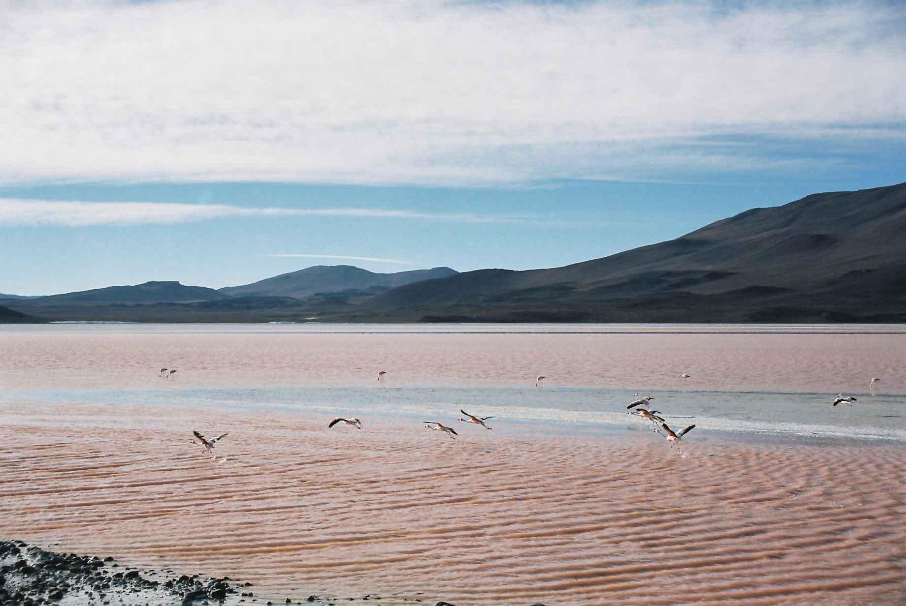
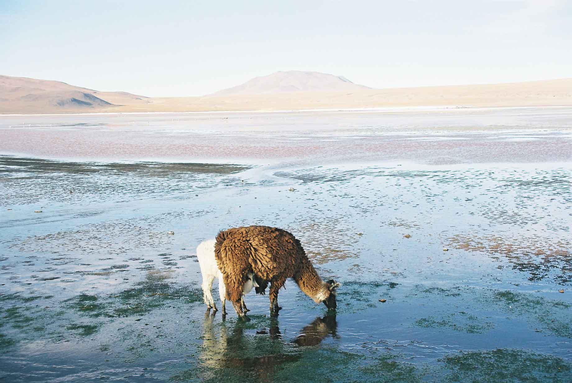
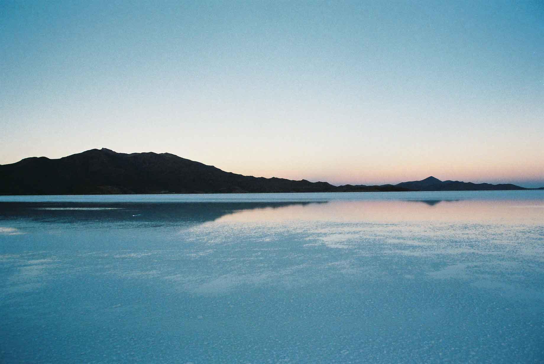
There are some spectacular lakes on the Altiplano, varying in colour. The red Laguna Colorada, white Laguna Blanca, green Laguna Verde (photo 3) and Lagunas Honda and others.
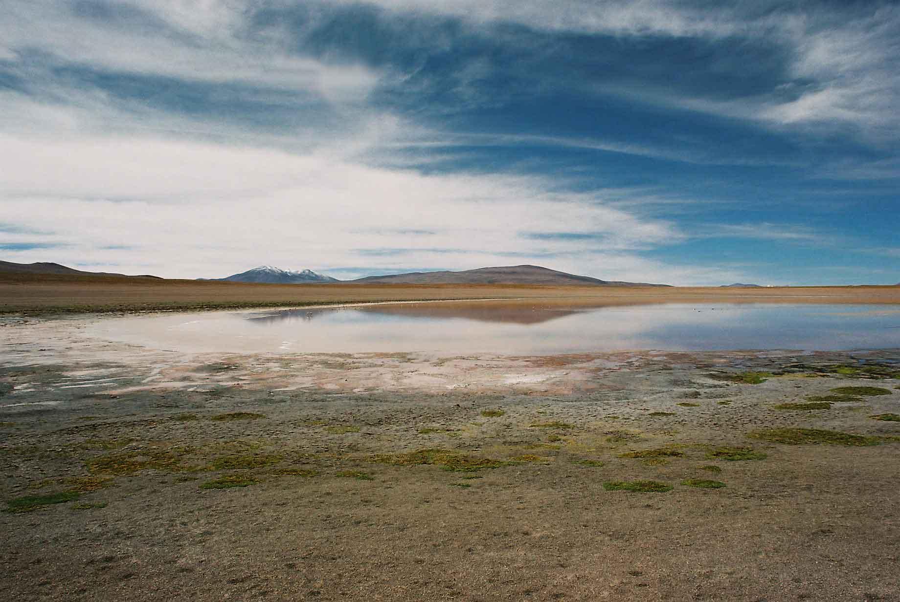
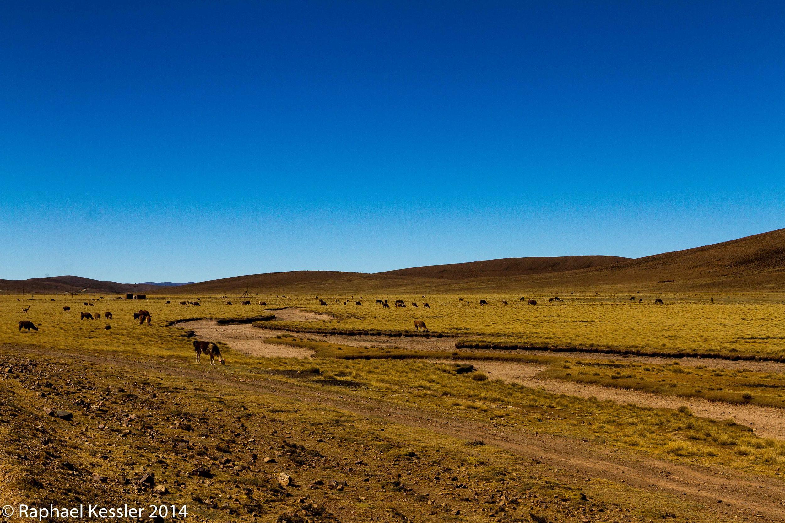
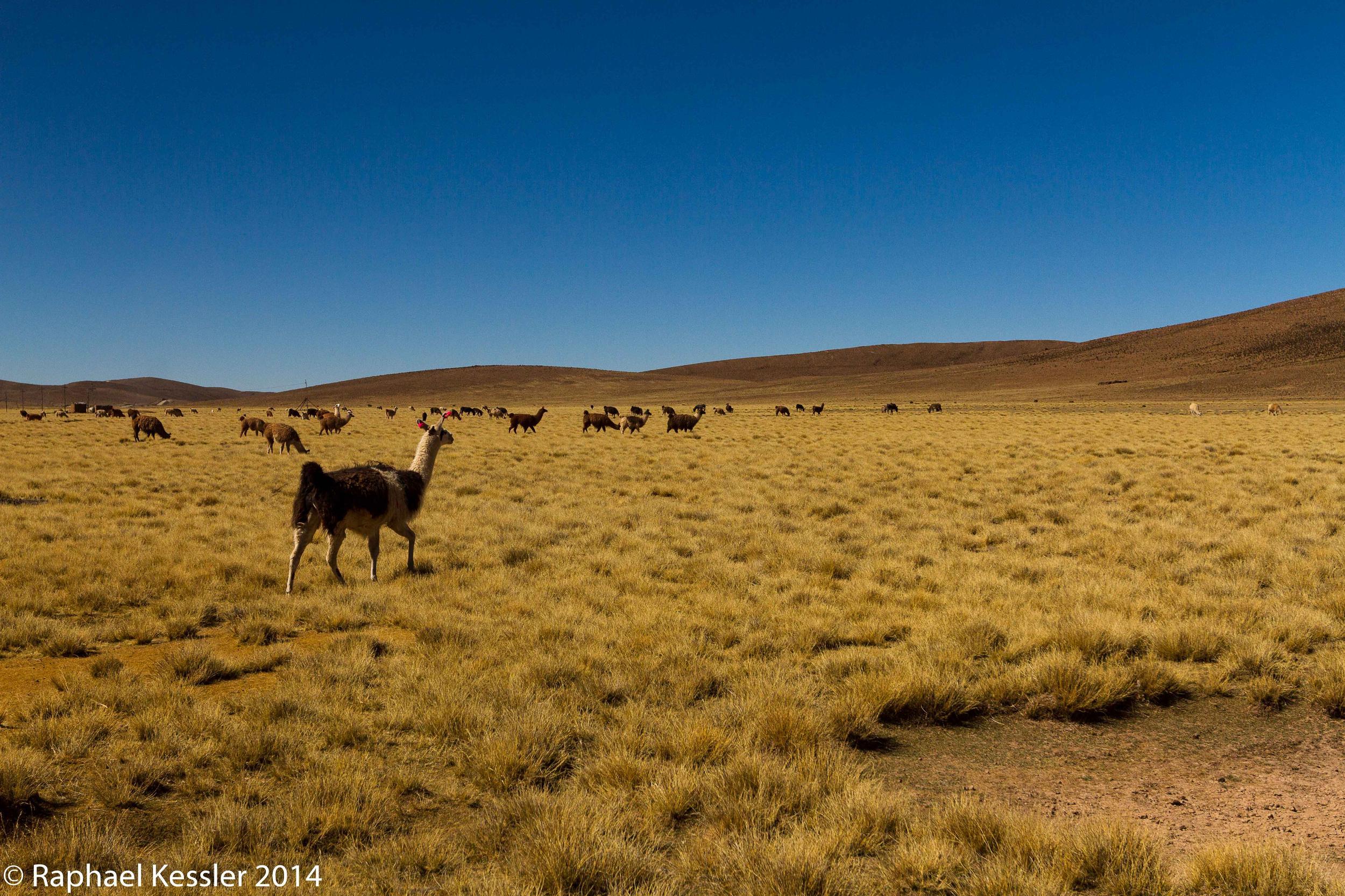
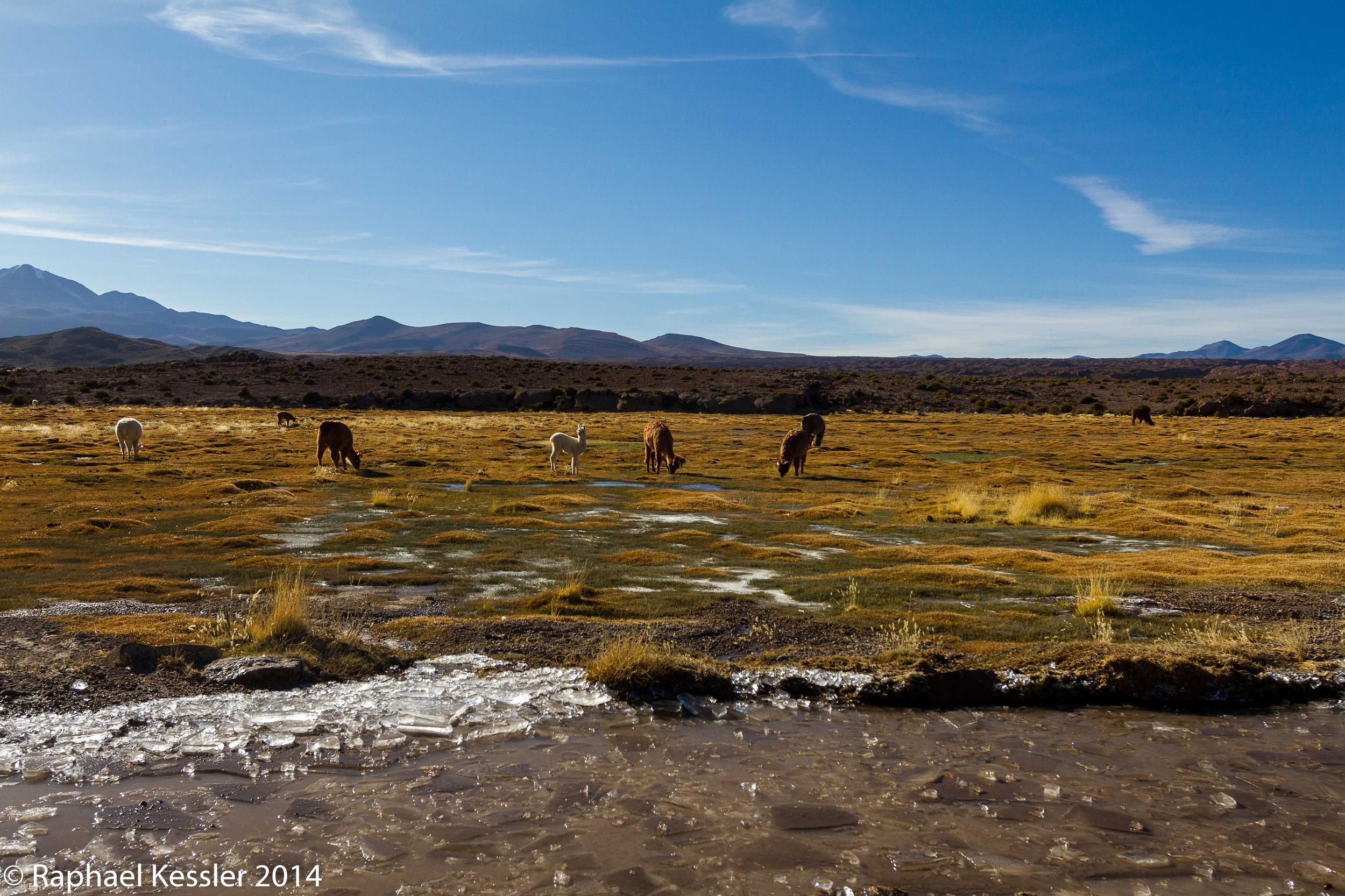
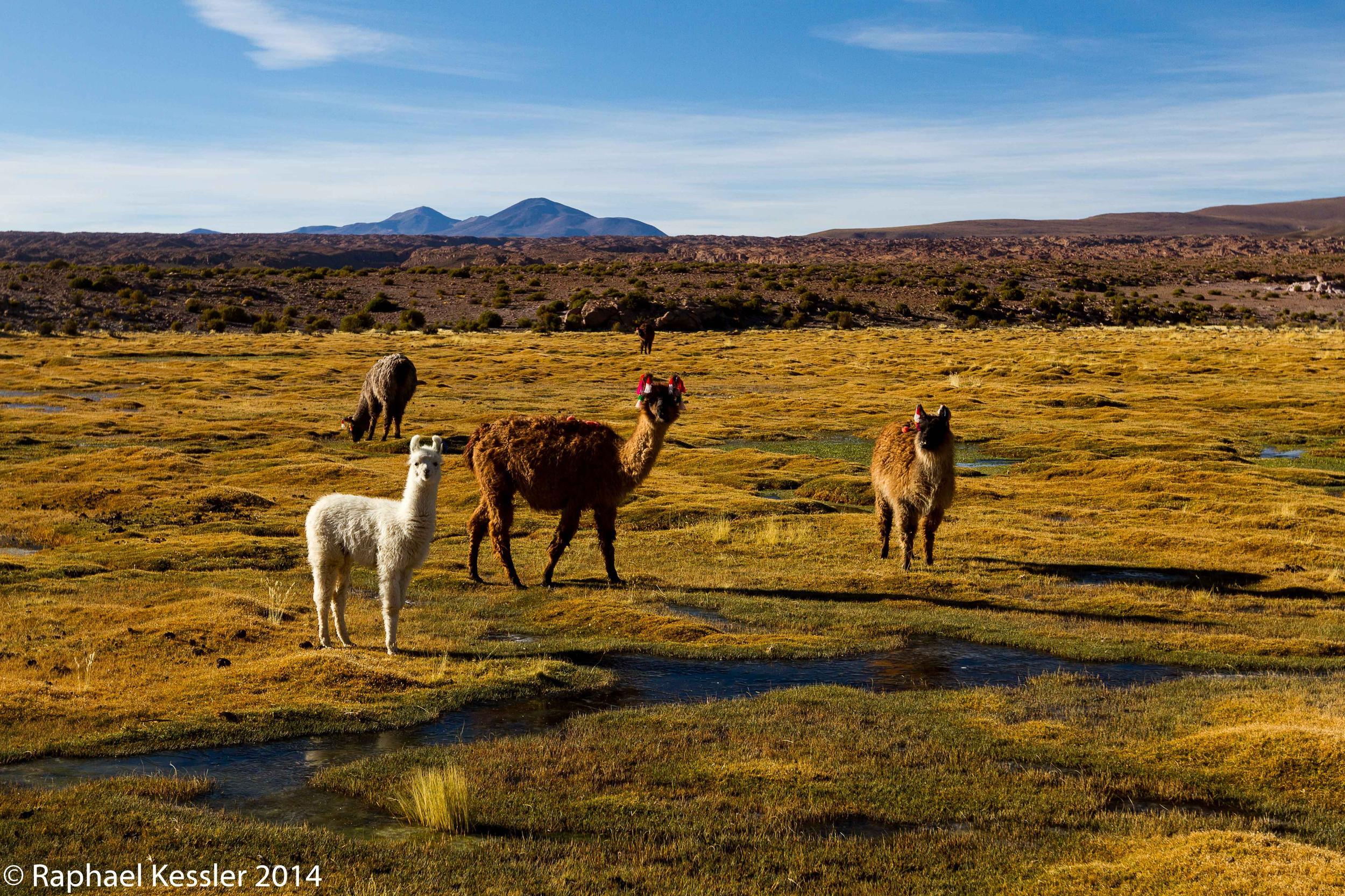
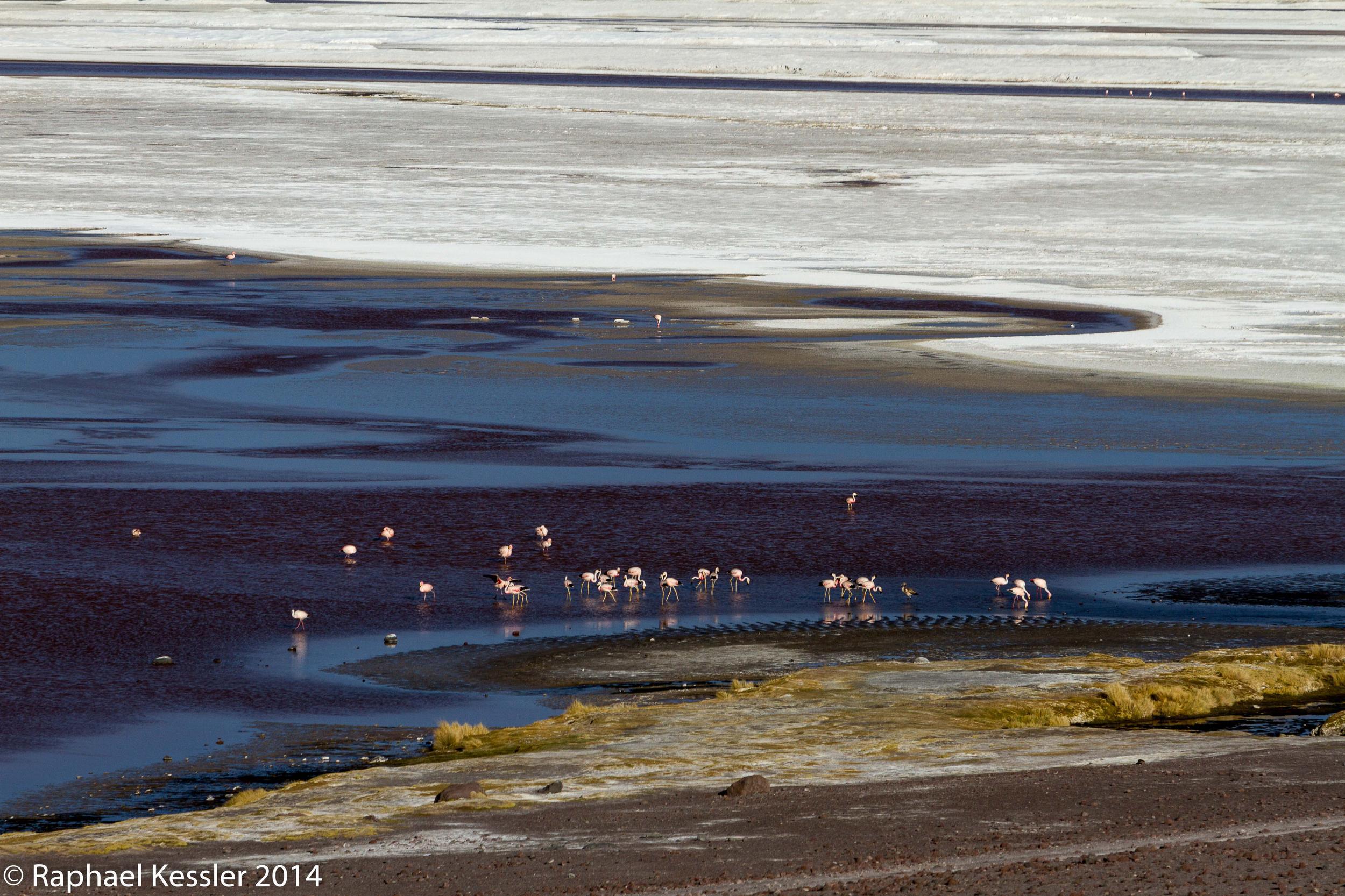
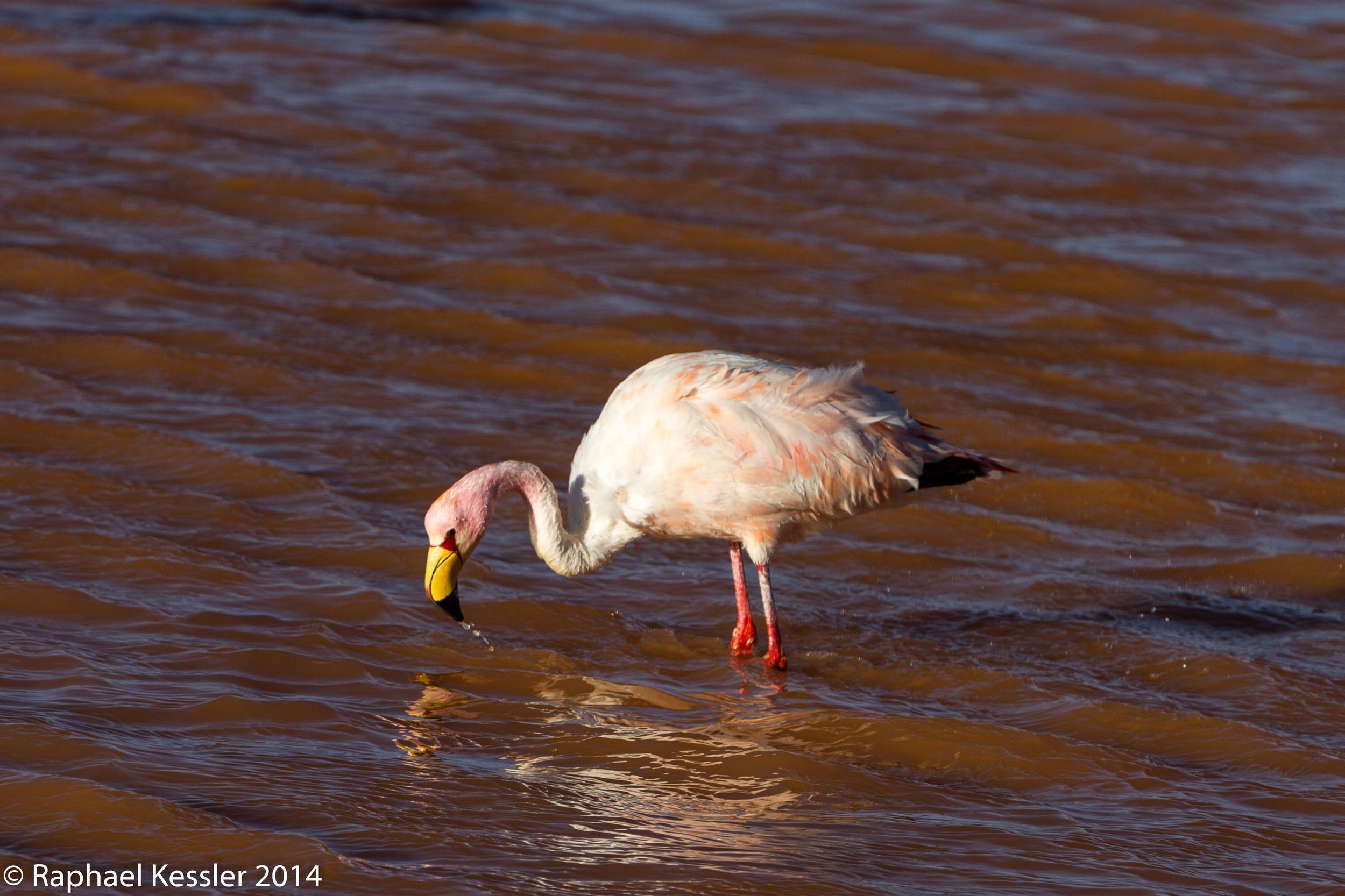
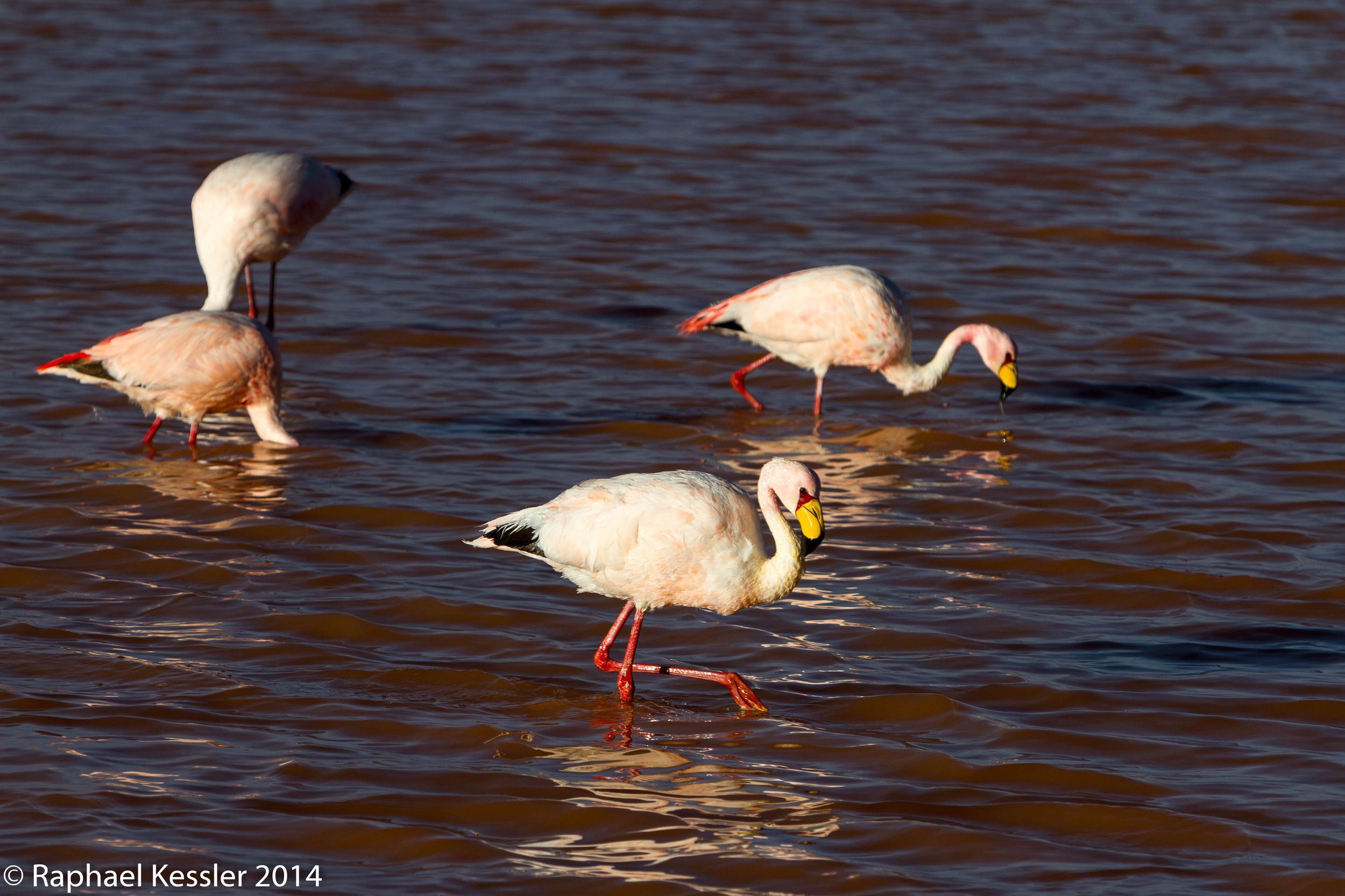
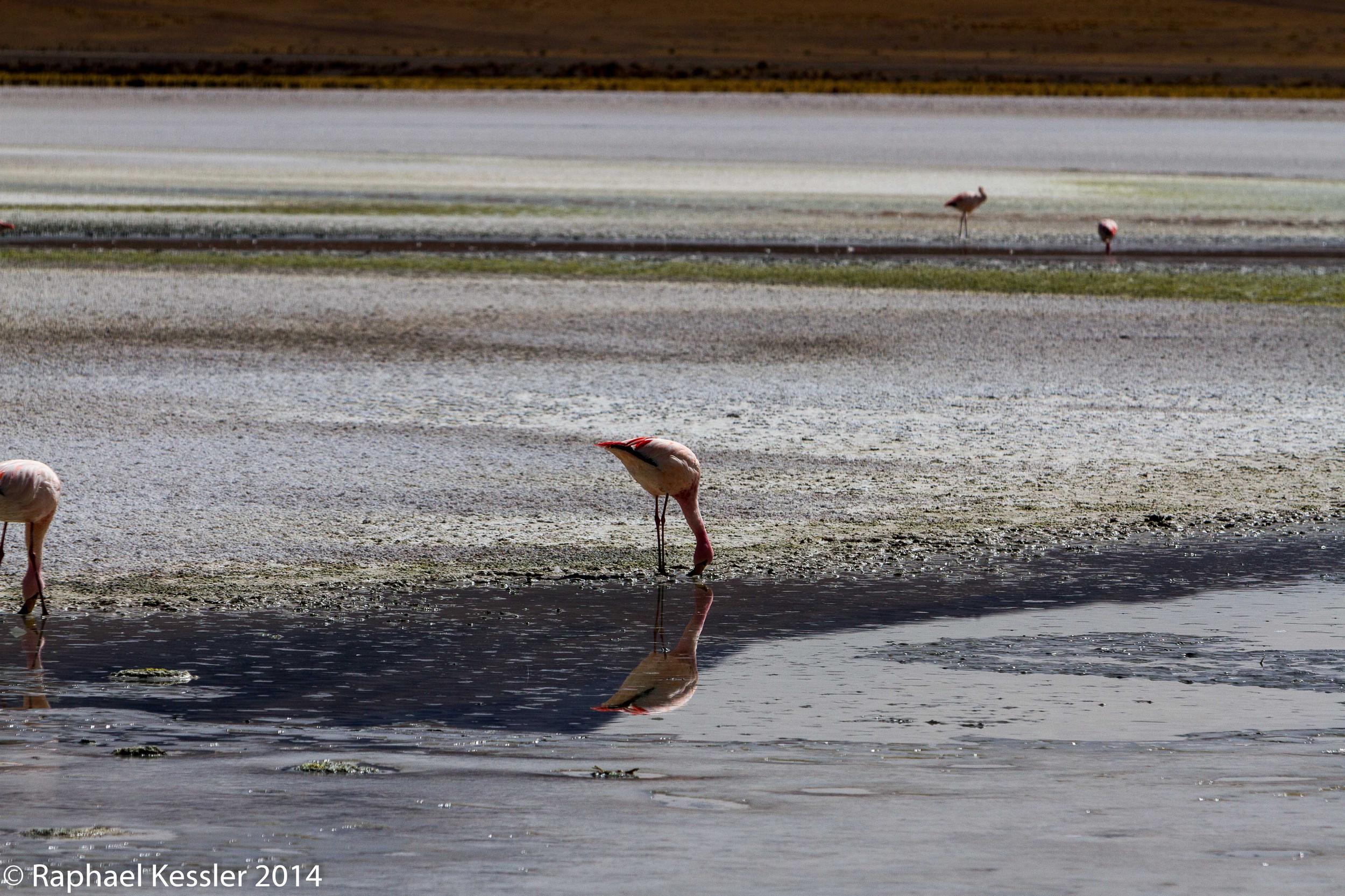
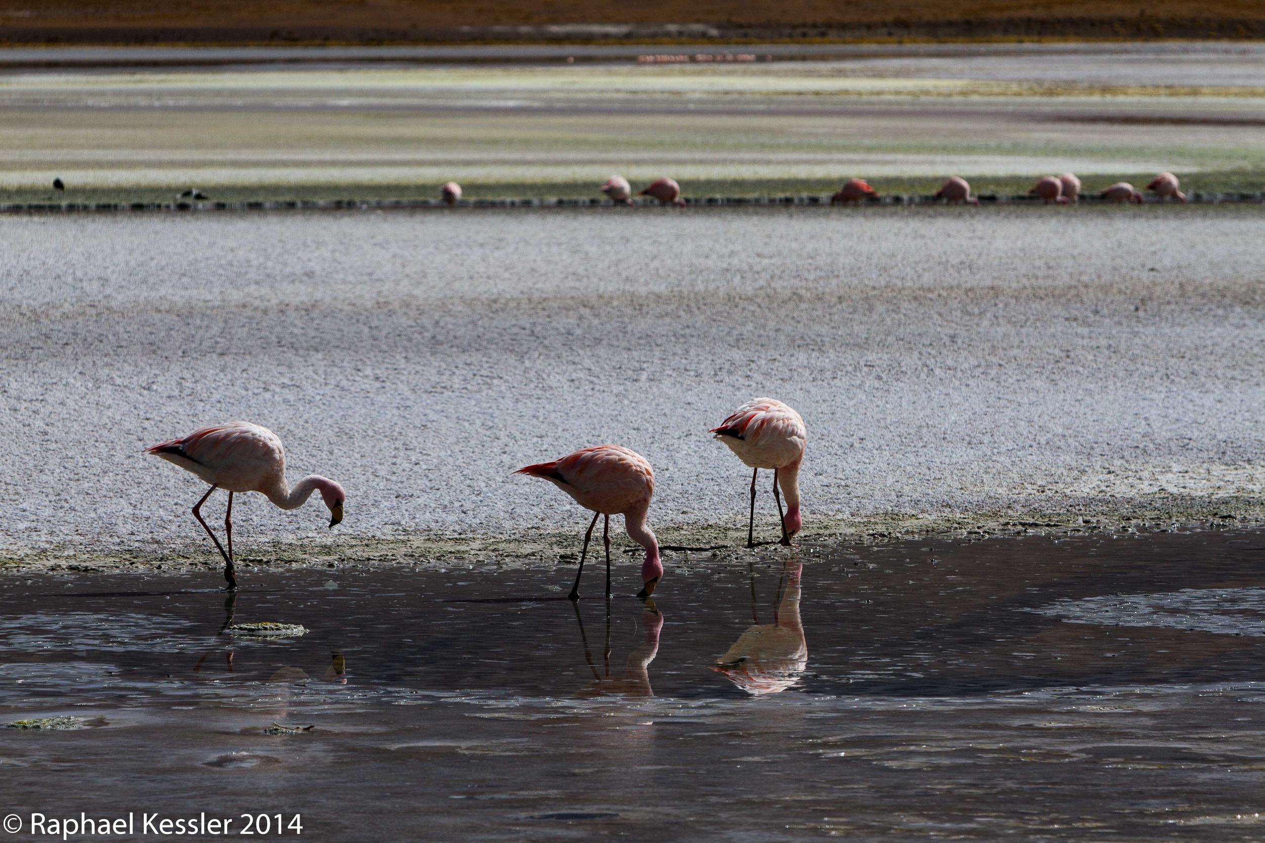
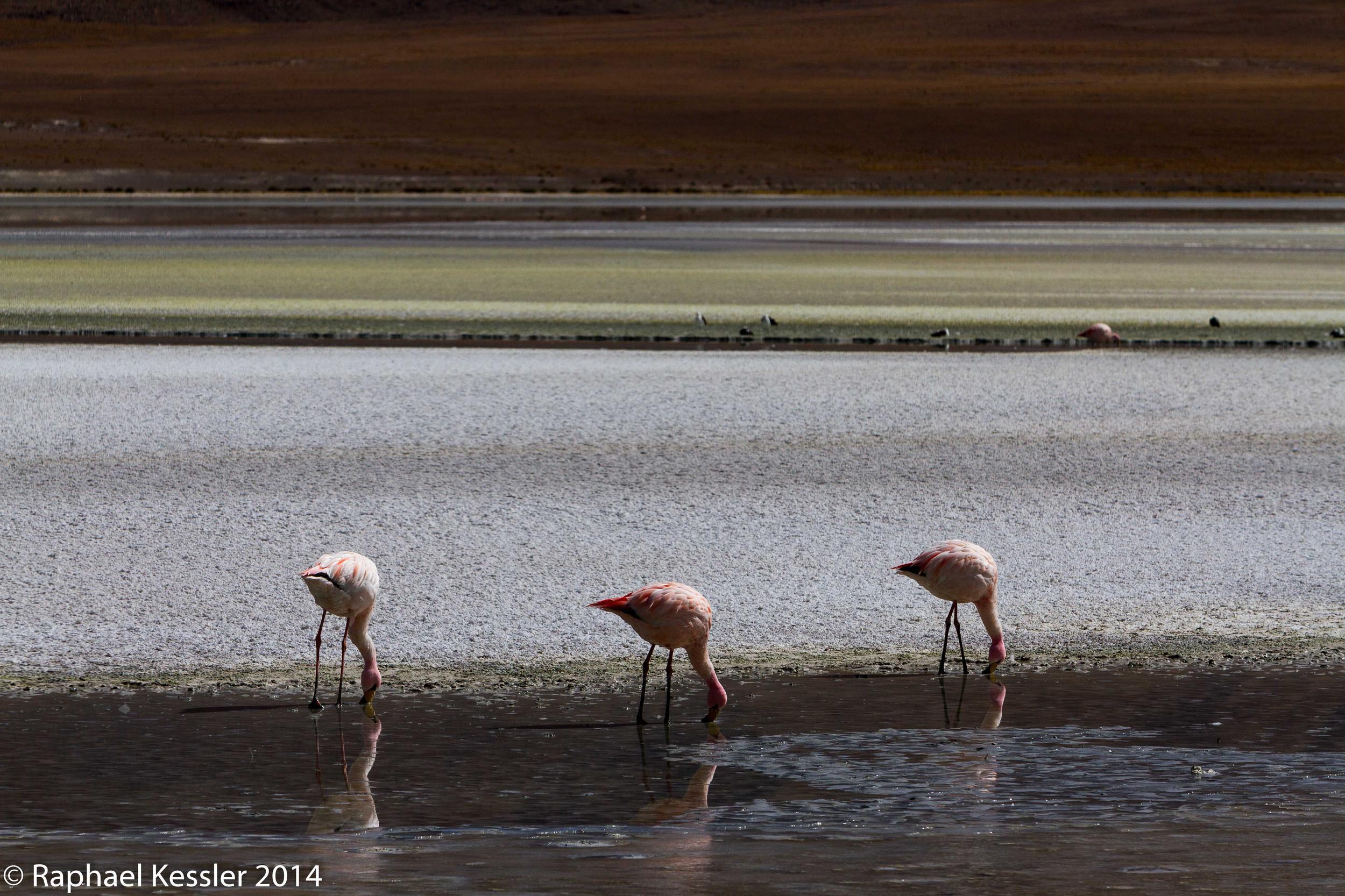
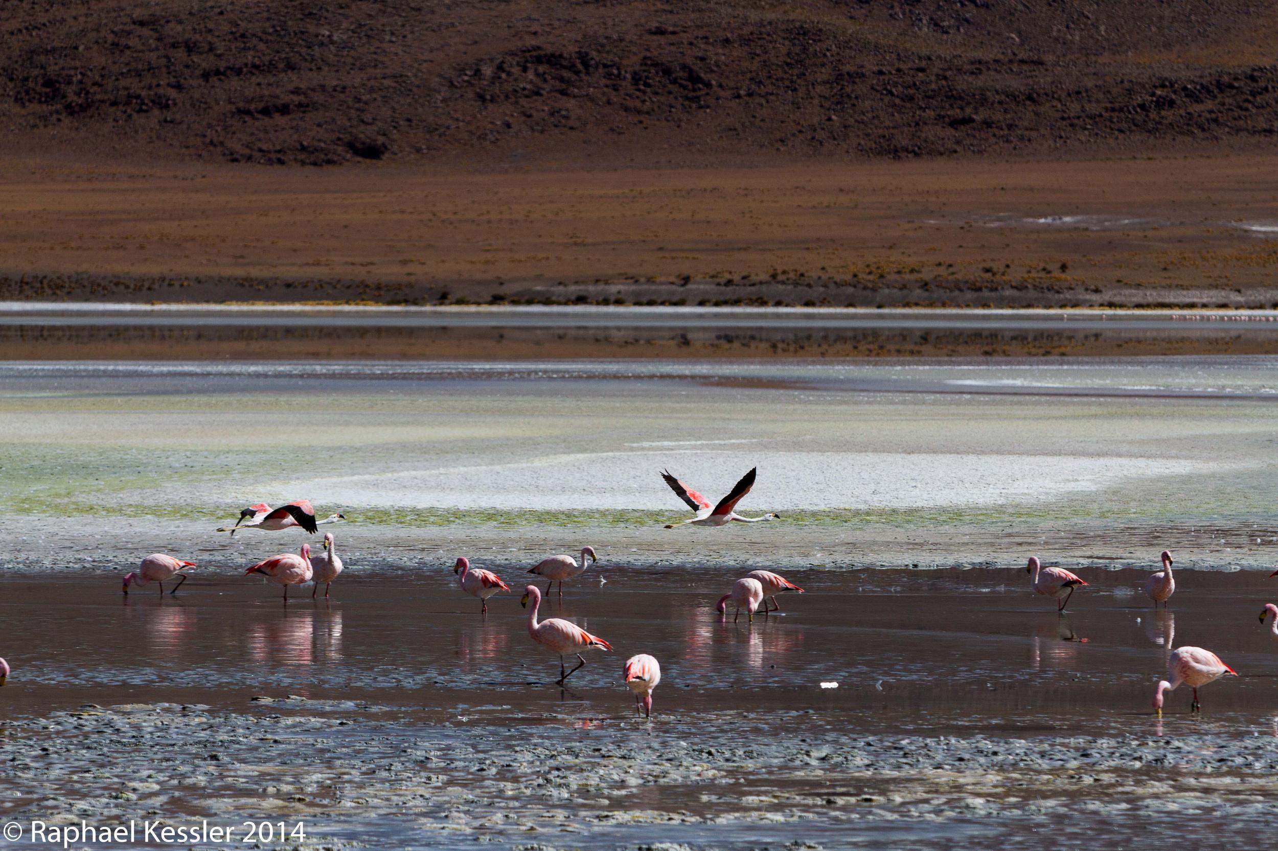
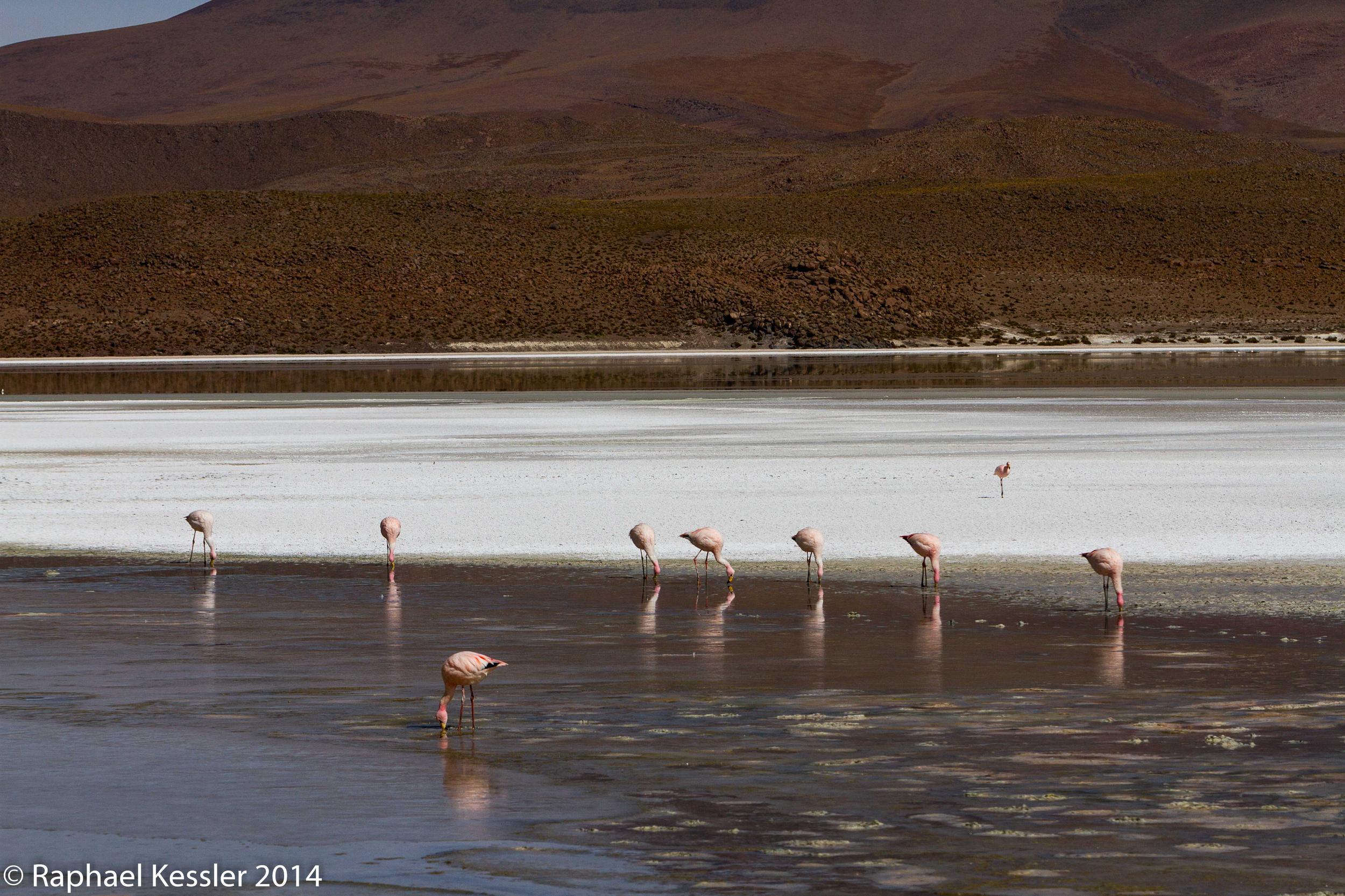
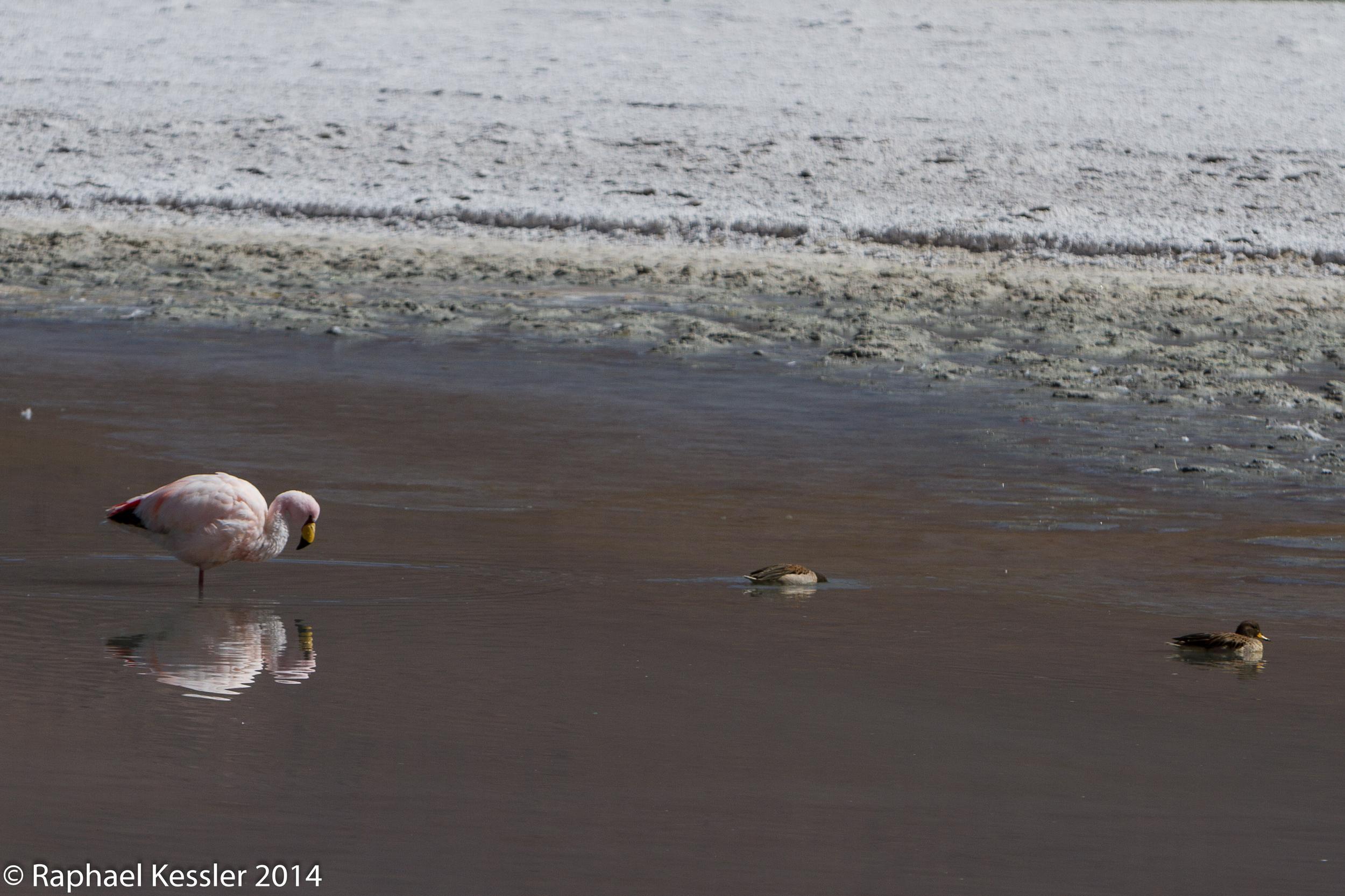
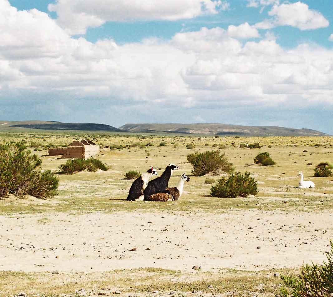
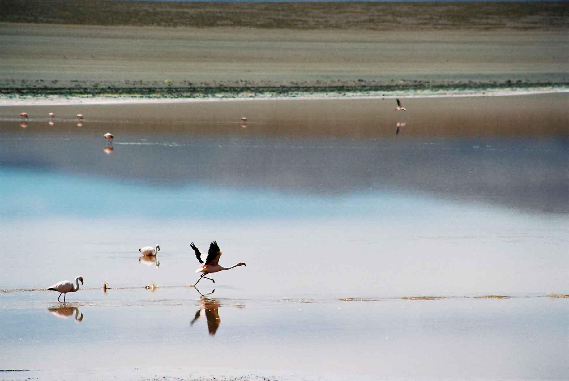
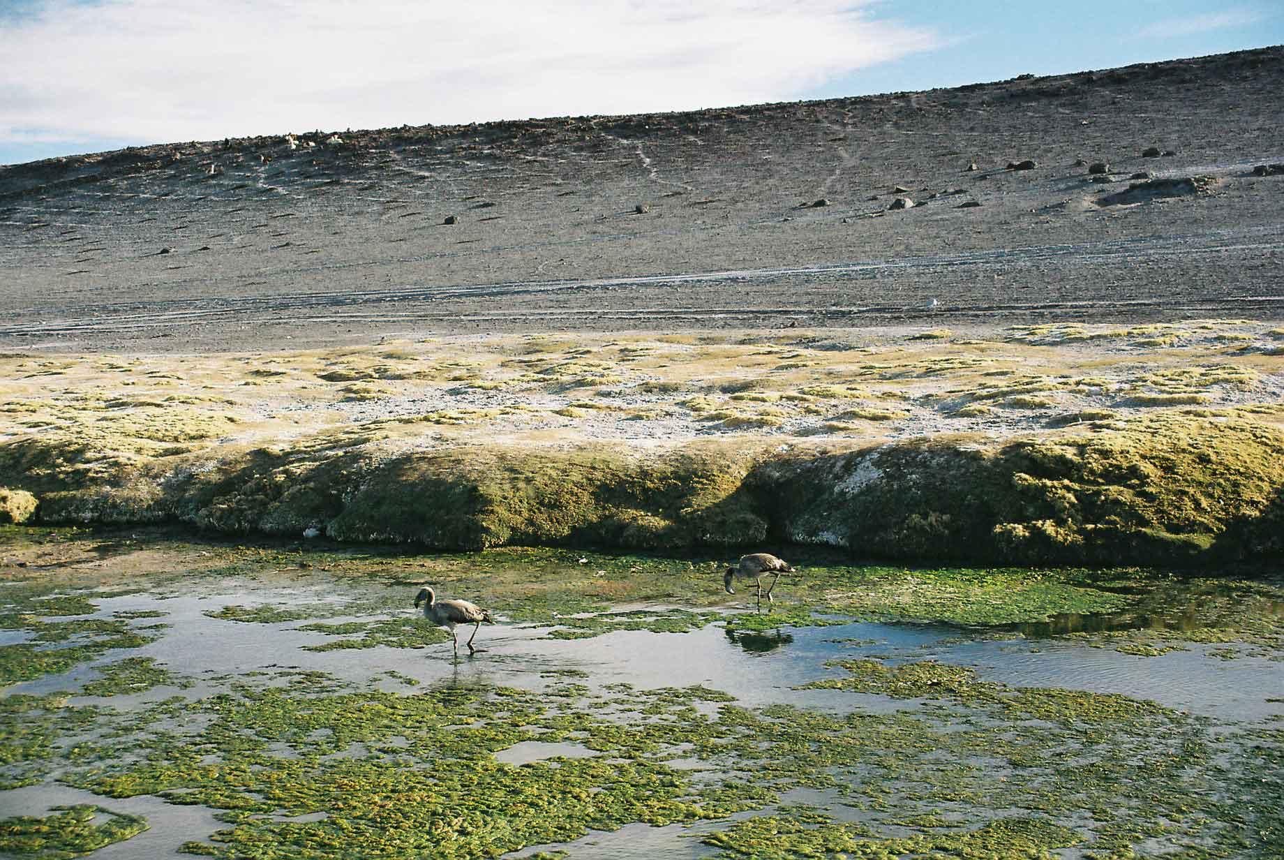
The Laguna Colorada (photos 1-13) is probably the most attractive of the lakes, as it is red and in an attractive mountainous setting with flamingos feeding in its waters (photos 5-11) and alpacas along its edges (photos 12 & 13).

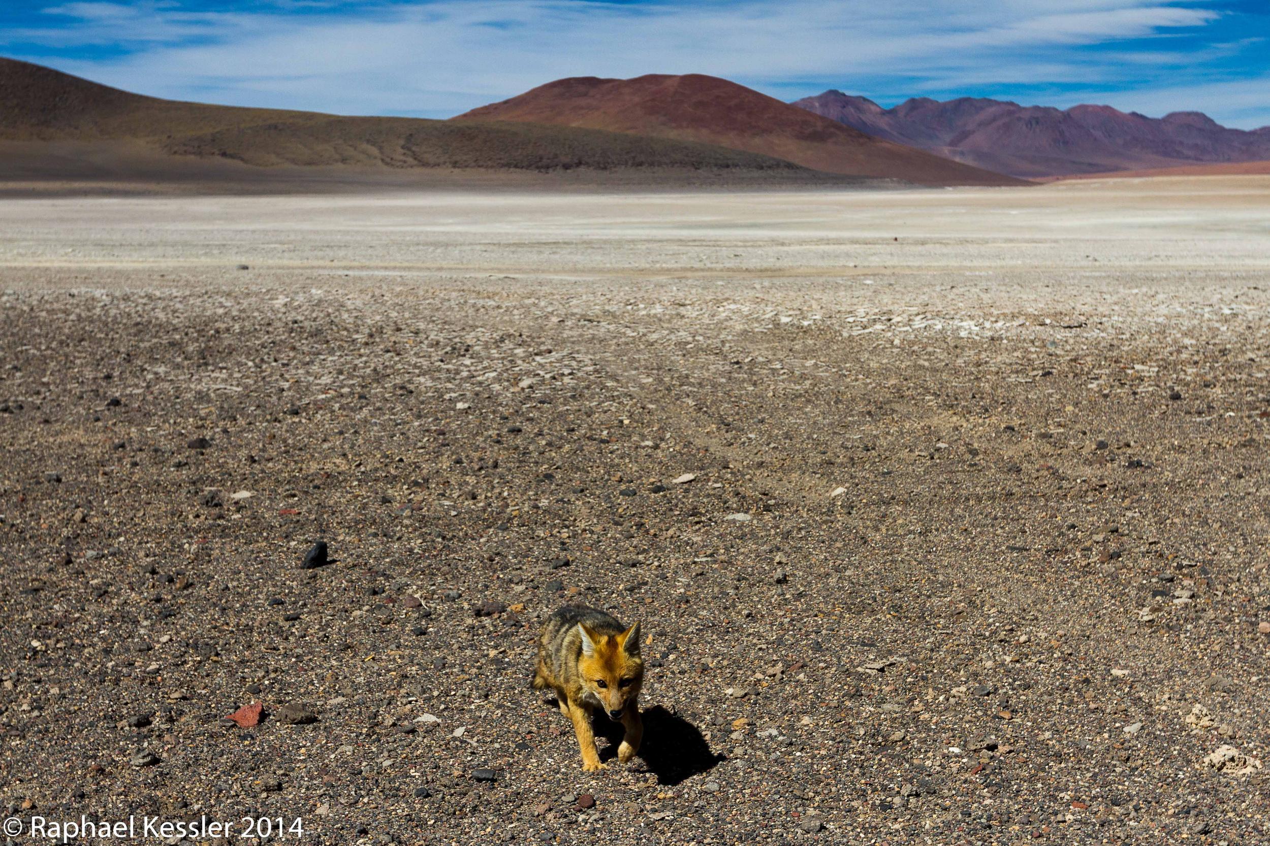
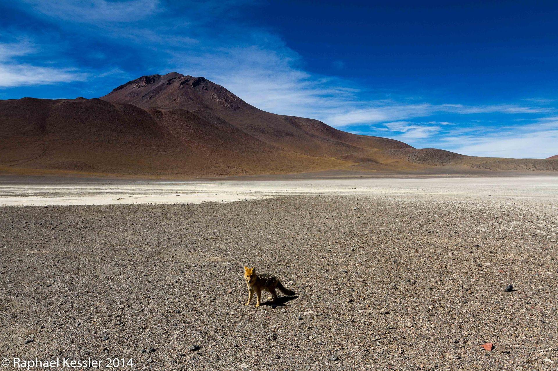
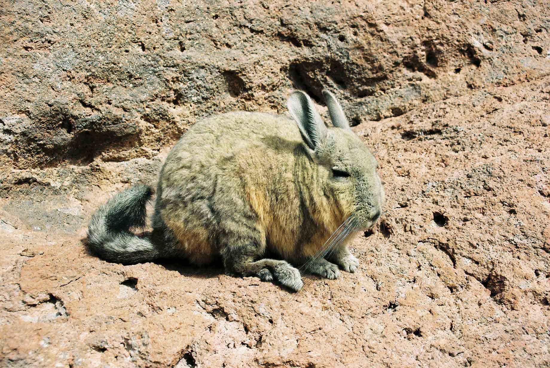
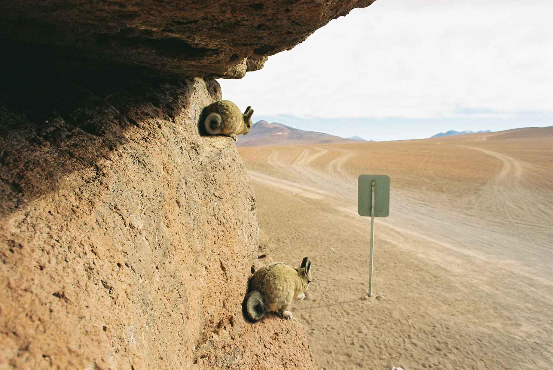
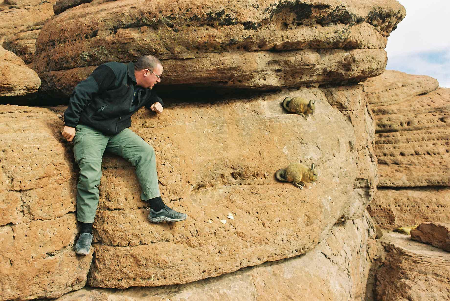
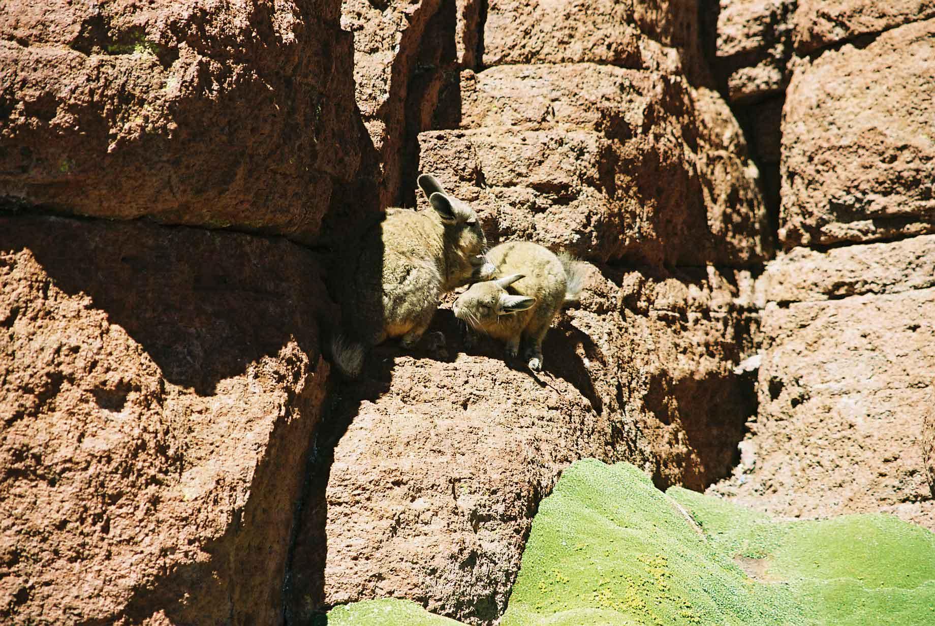
In the altiplano one can see vizcacachas from time to time. They look a bit like rabbits but are a lot bigger and their tails are more like that of a squirrel.
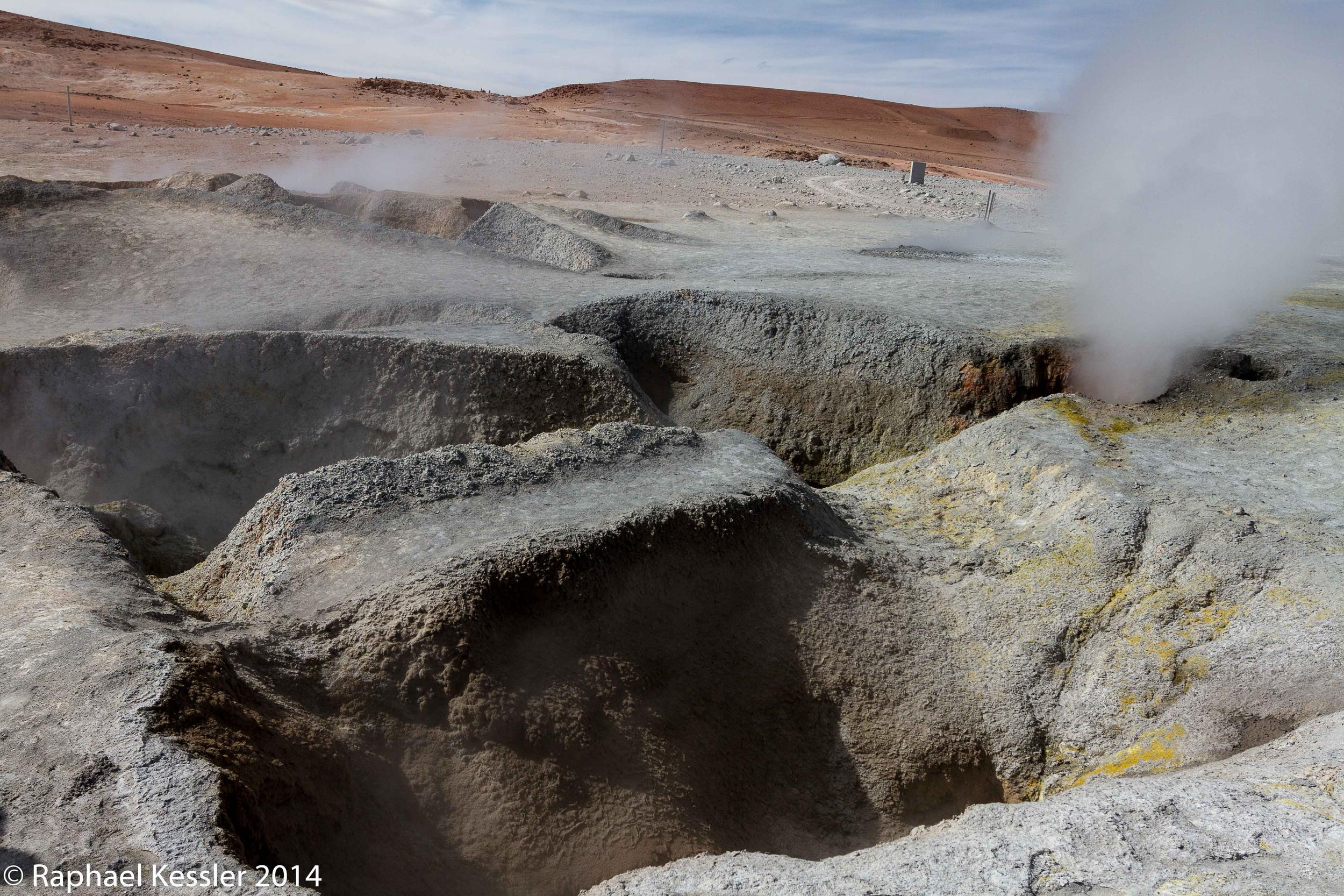
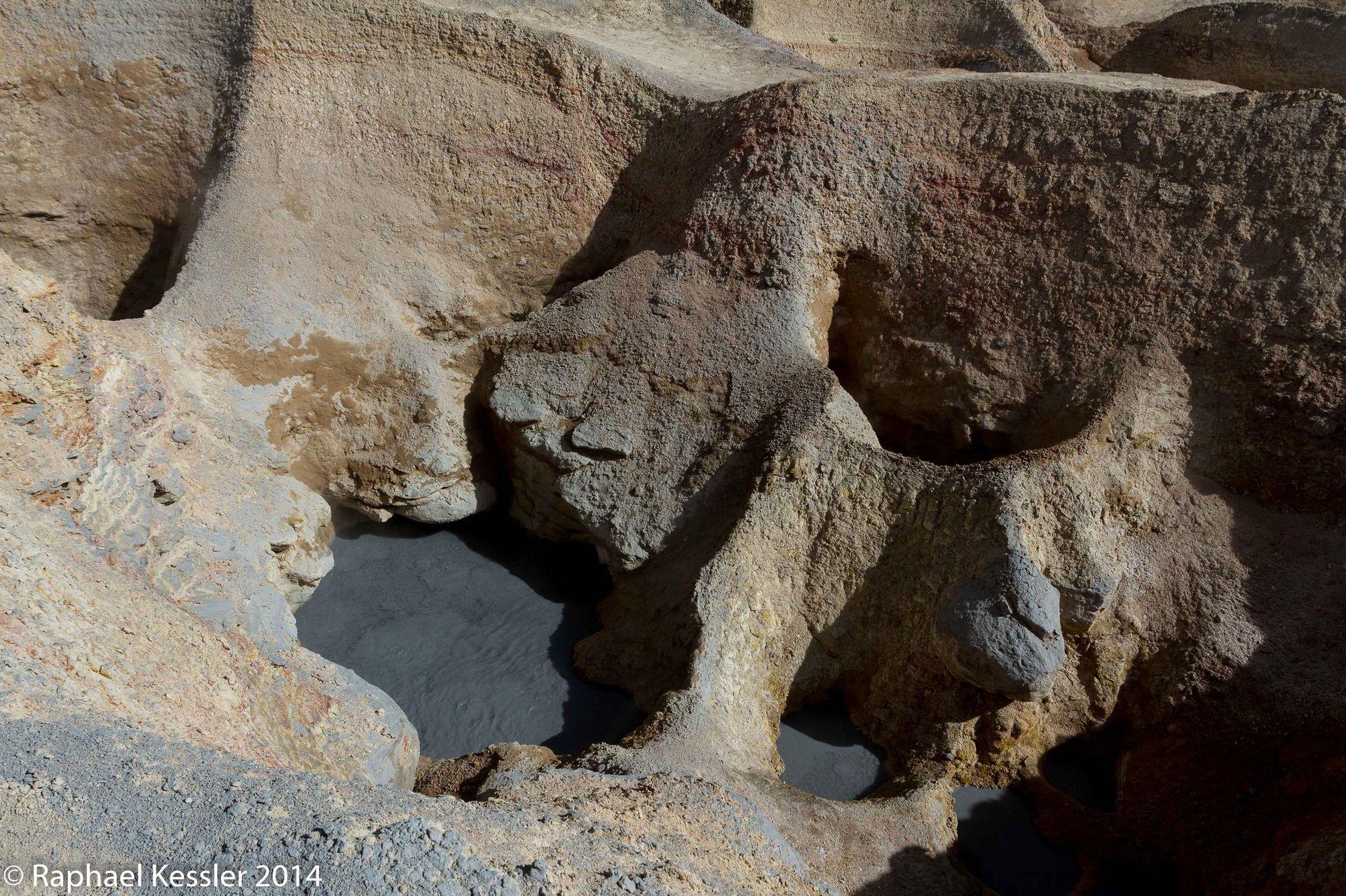
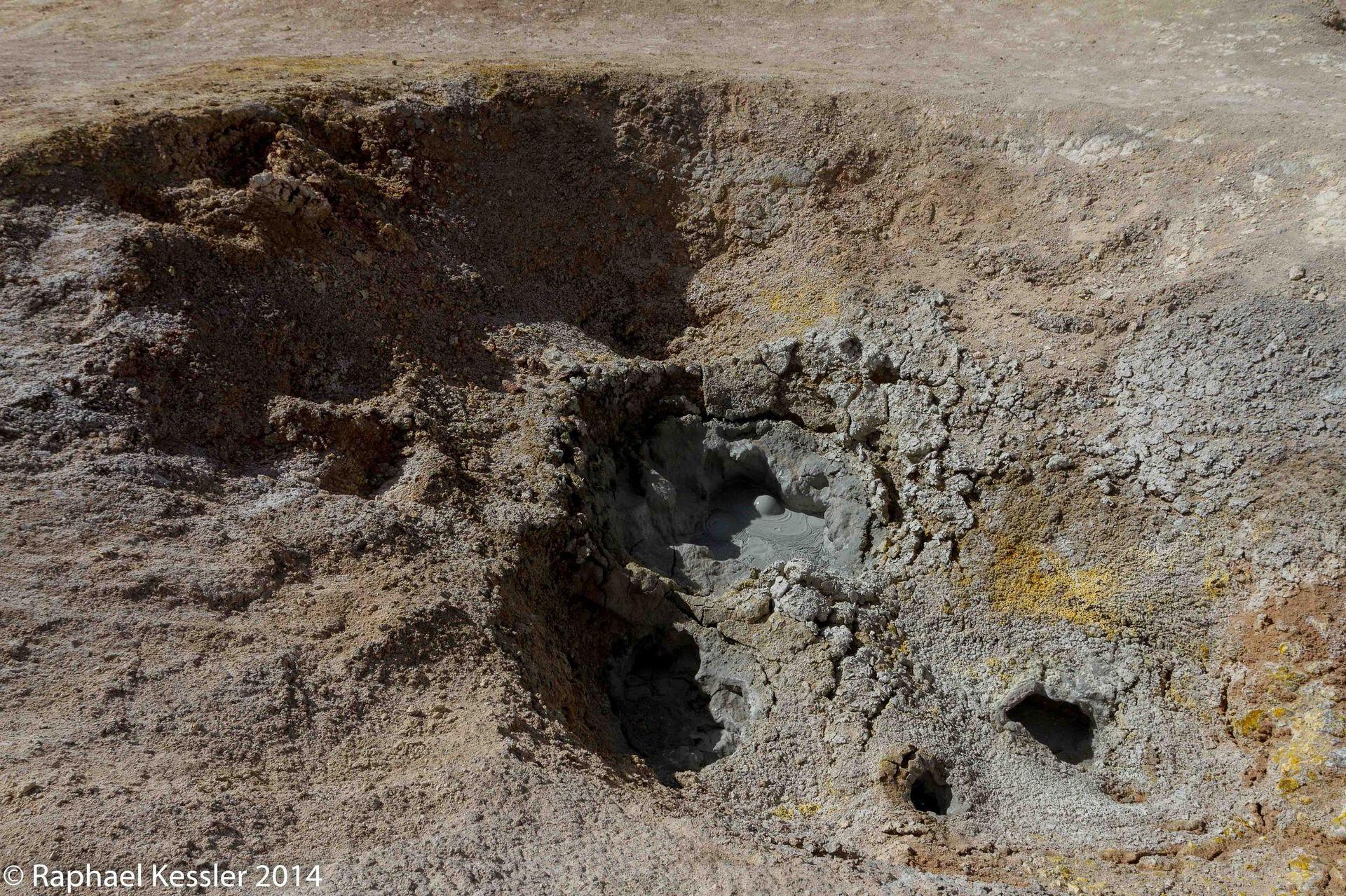
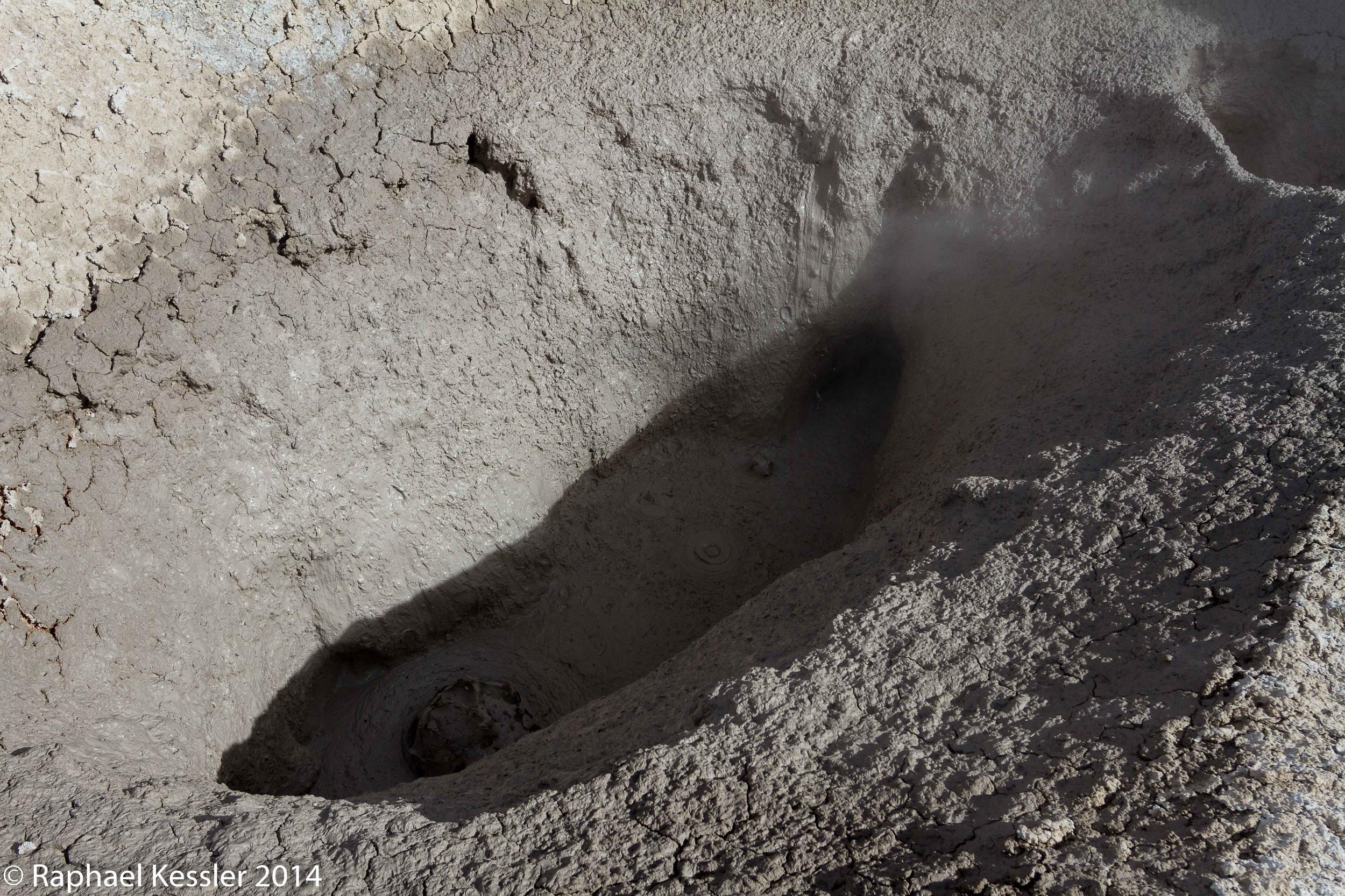
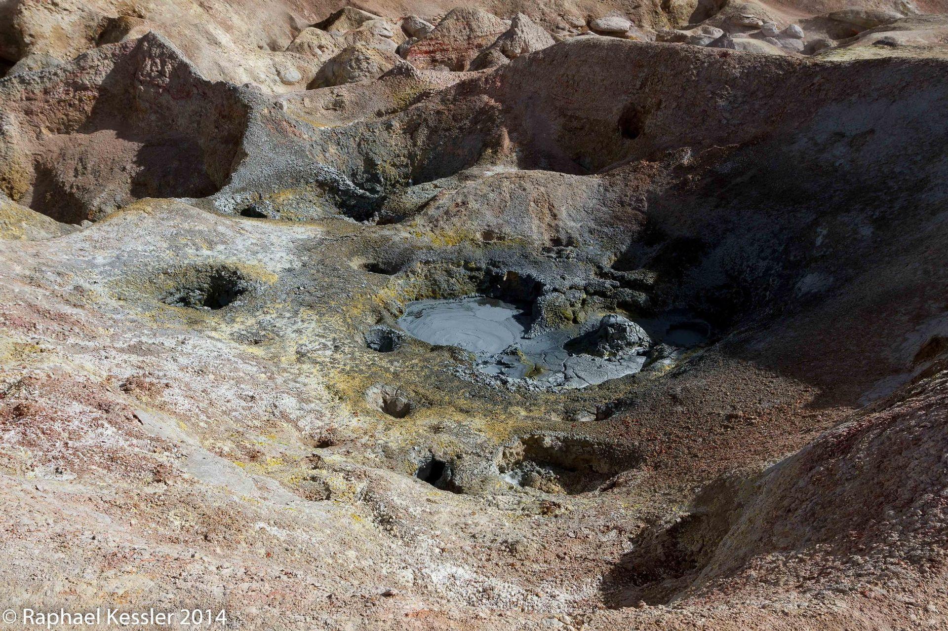
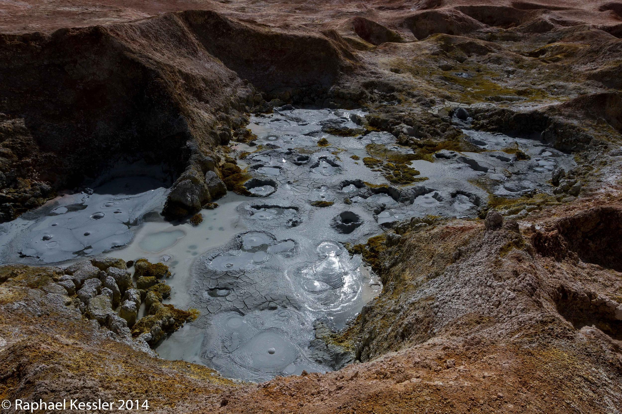
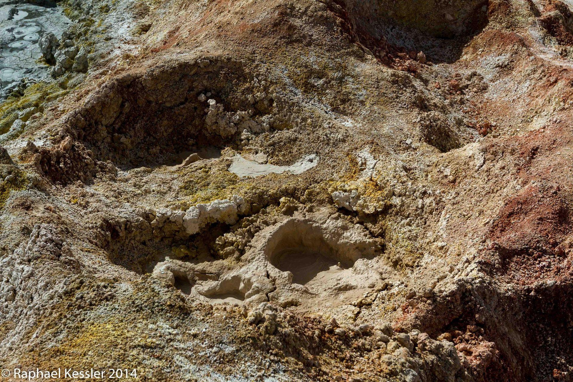
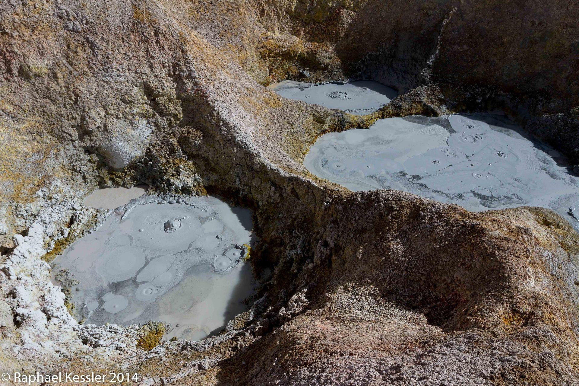
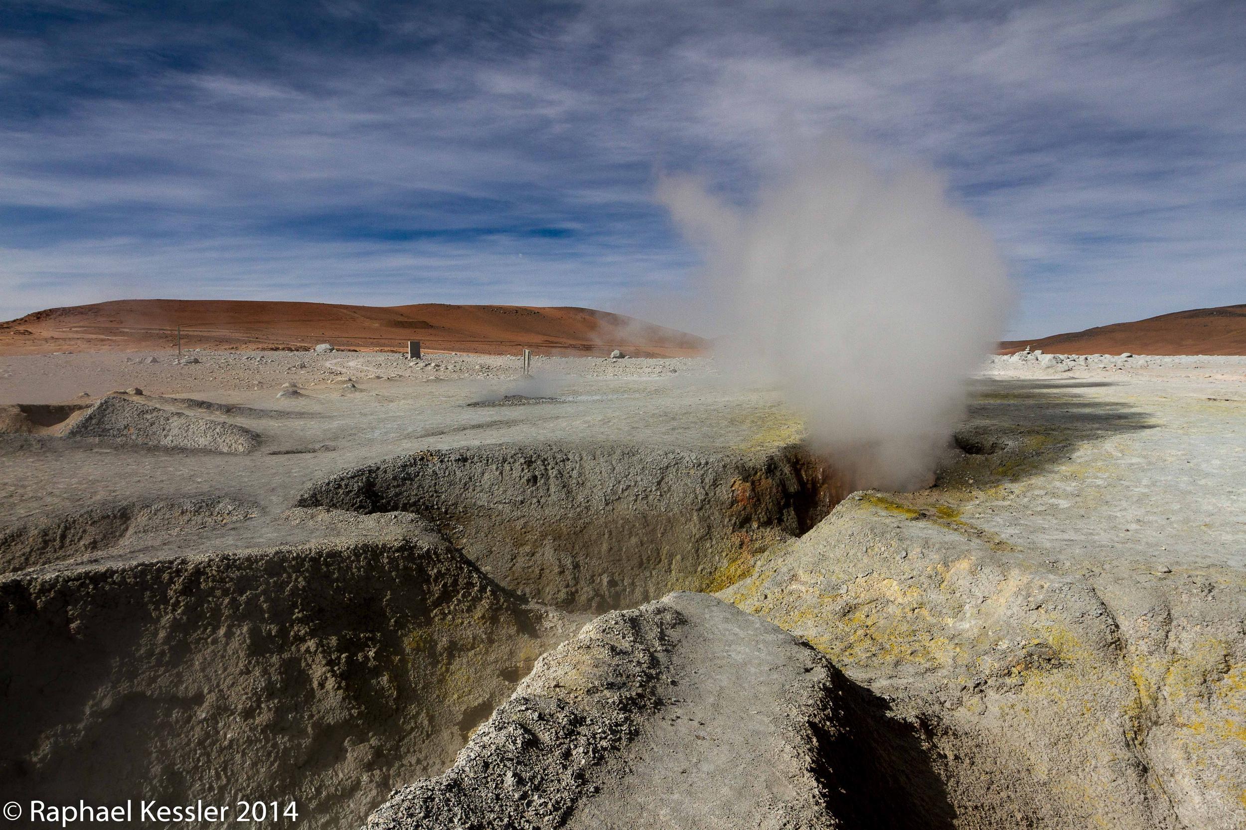
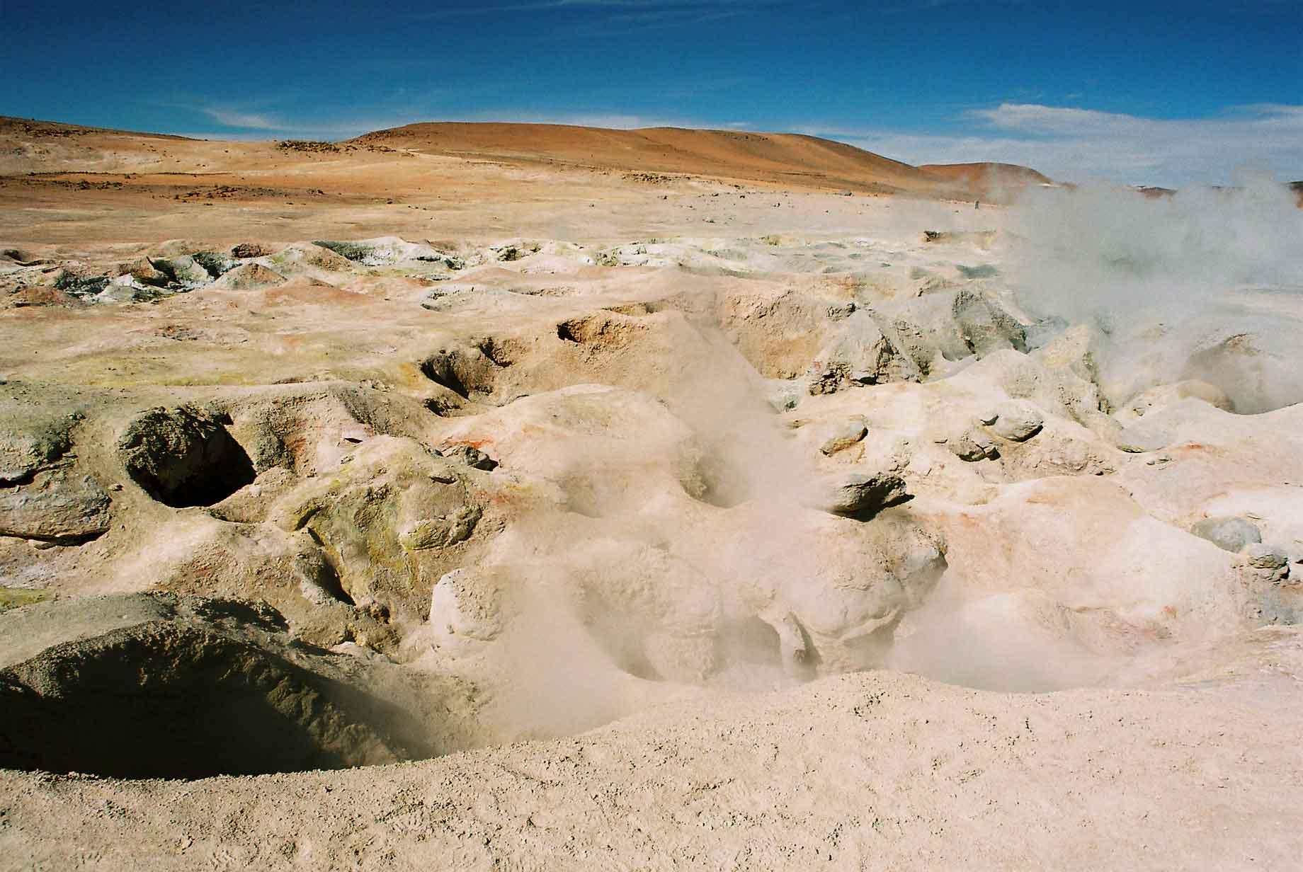
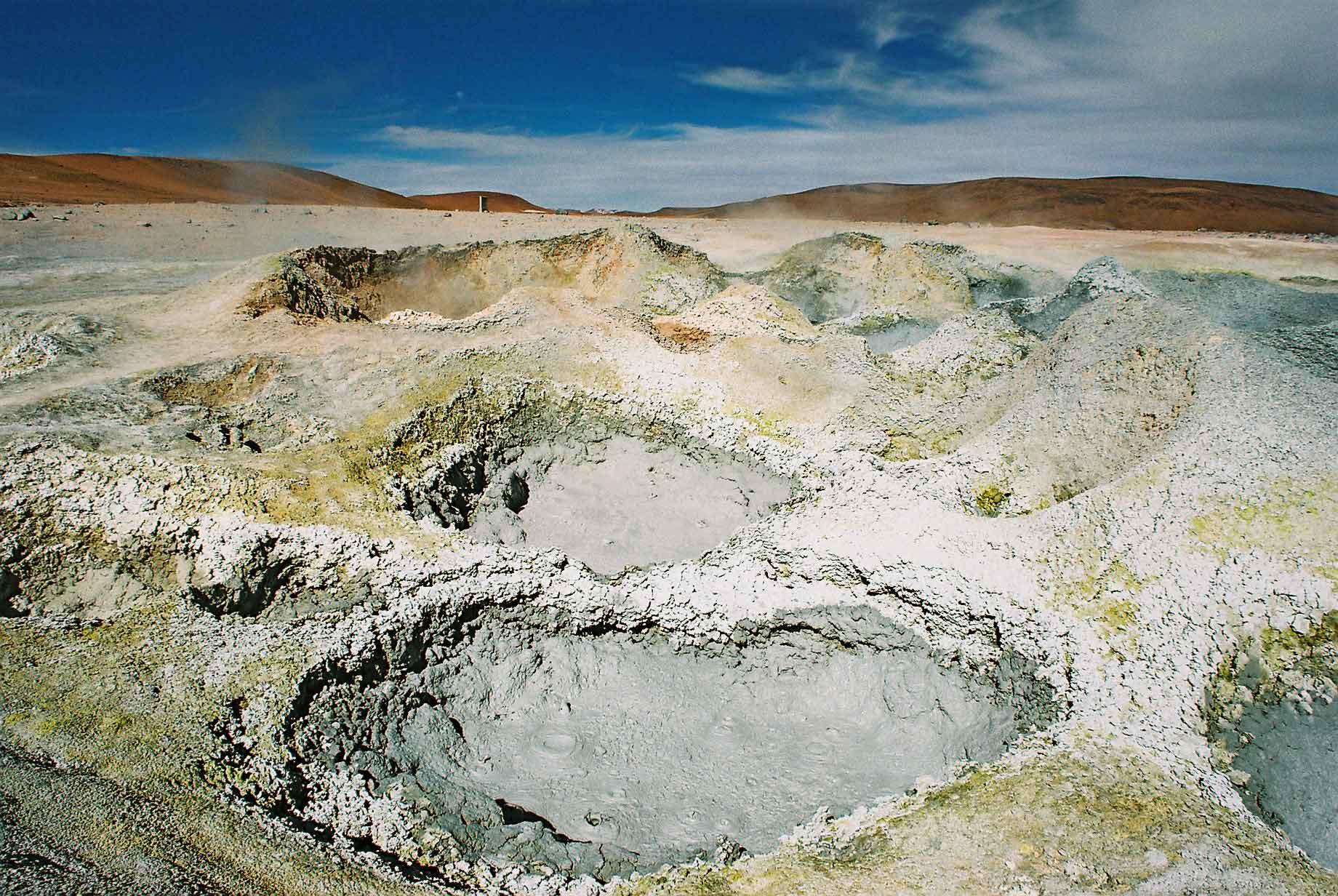
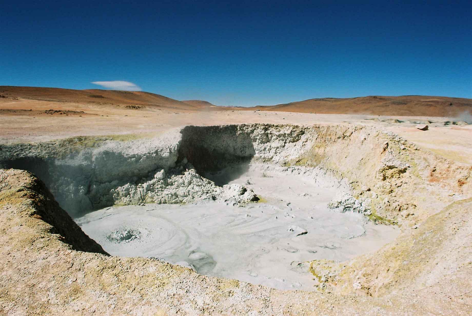
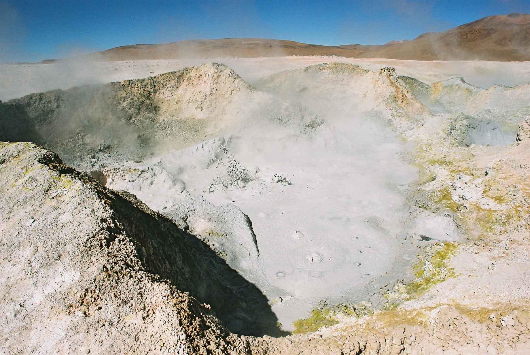
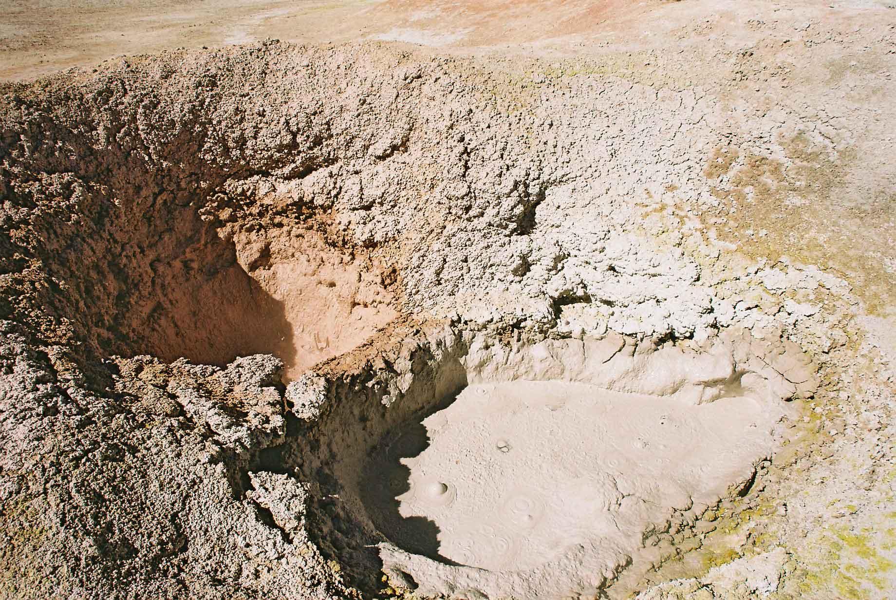
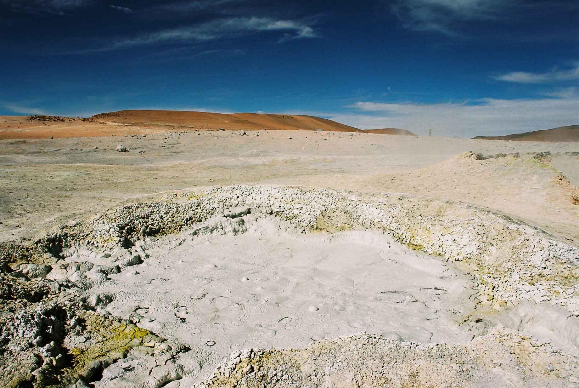
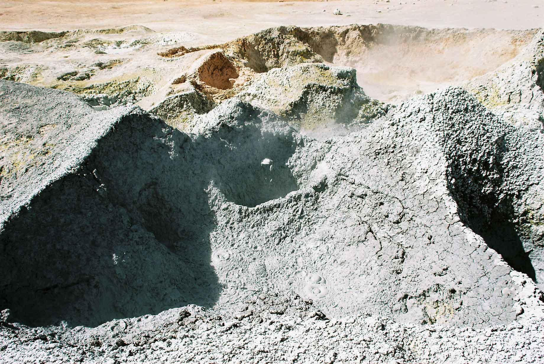
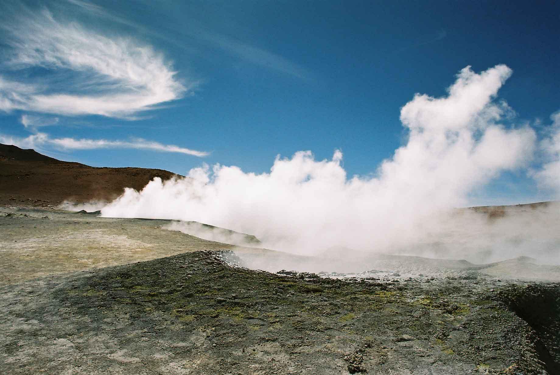
The geysers at sol de mañana are particularly active. At about 5,000 metres above sea level, it can be literally breathtaking. The mud in the geysers was bubbling away in several and in others it was actually jumping out (photos 4 & 7).
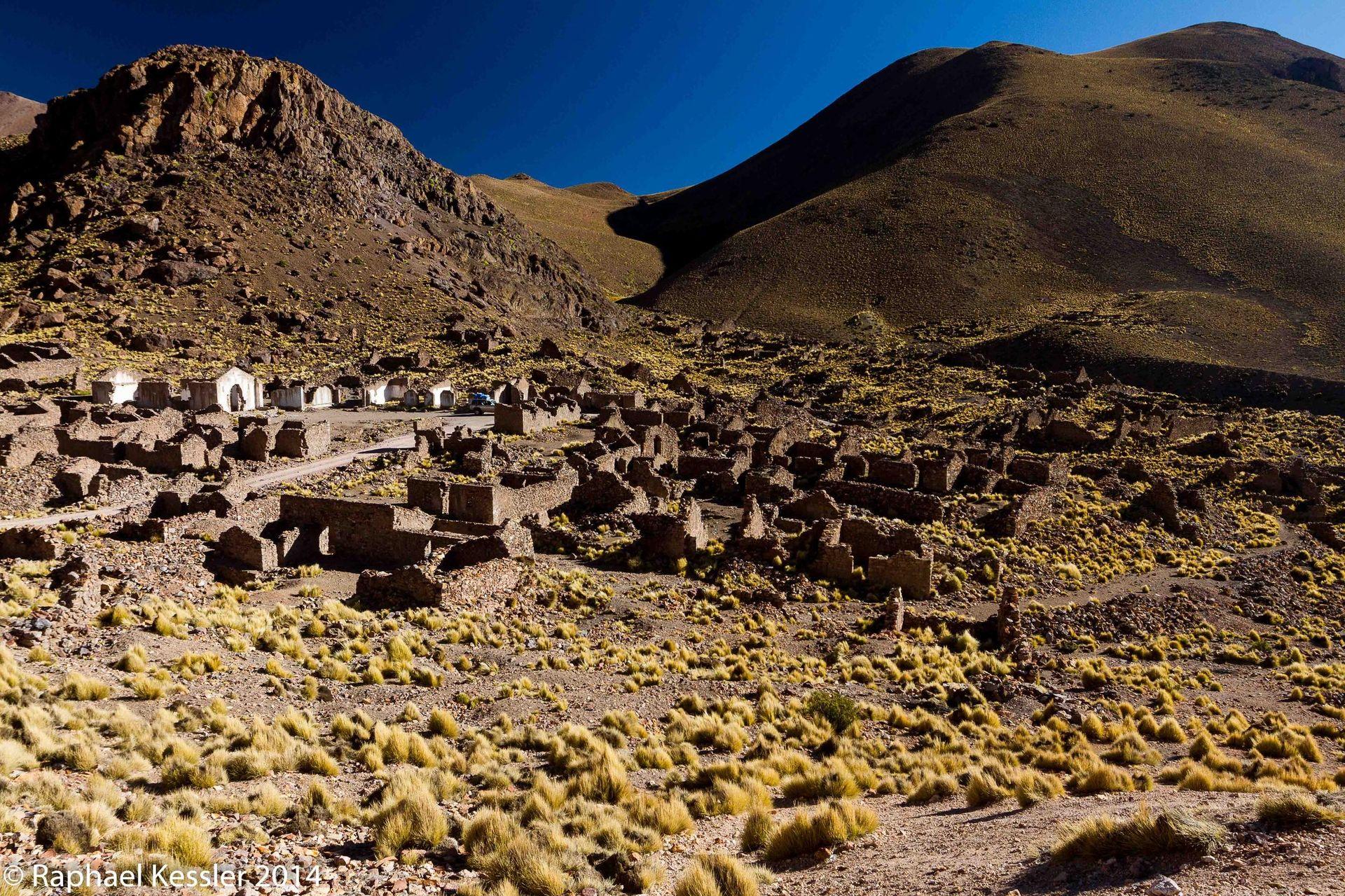
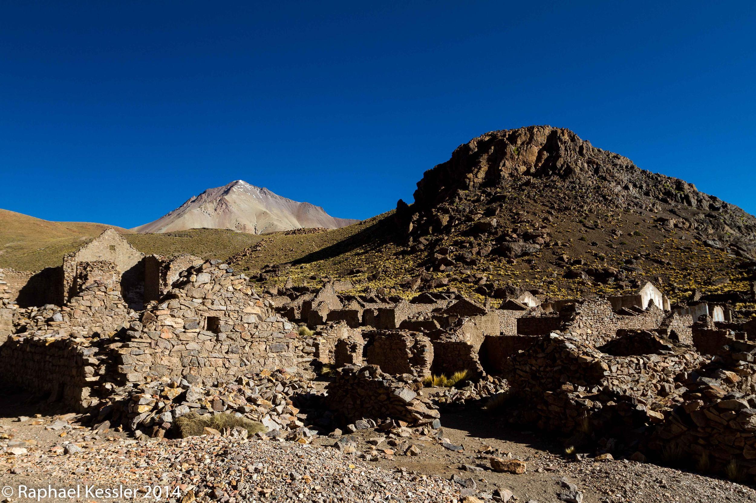
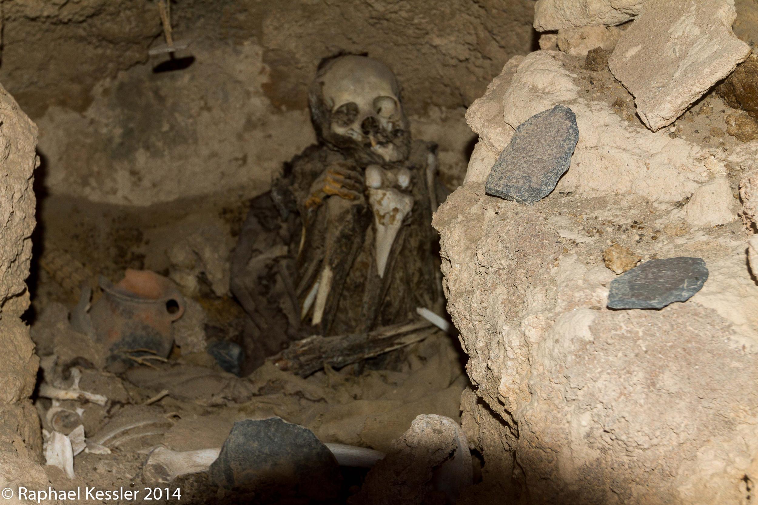
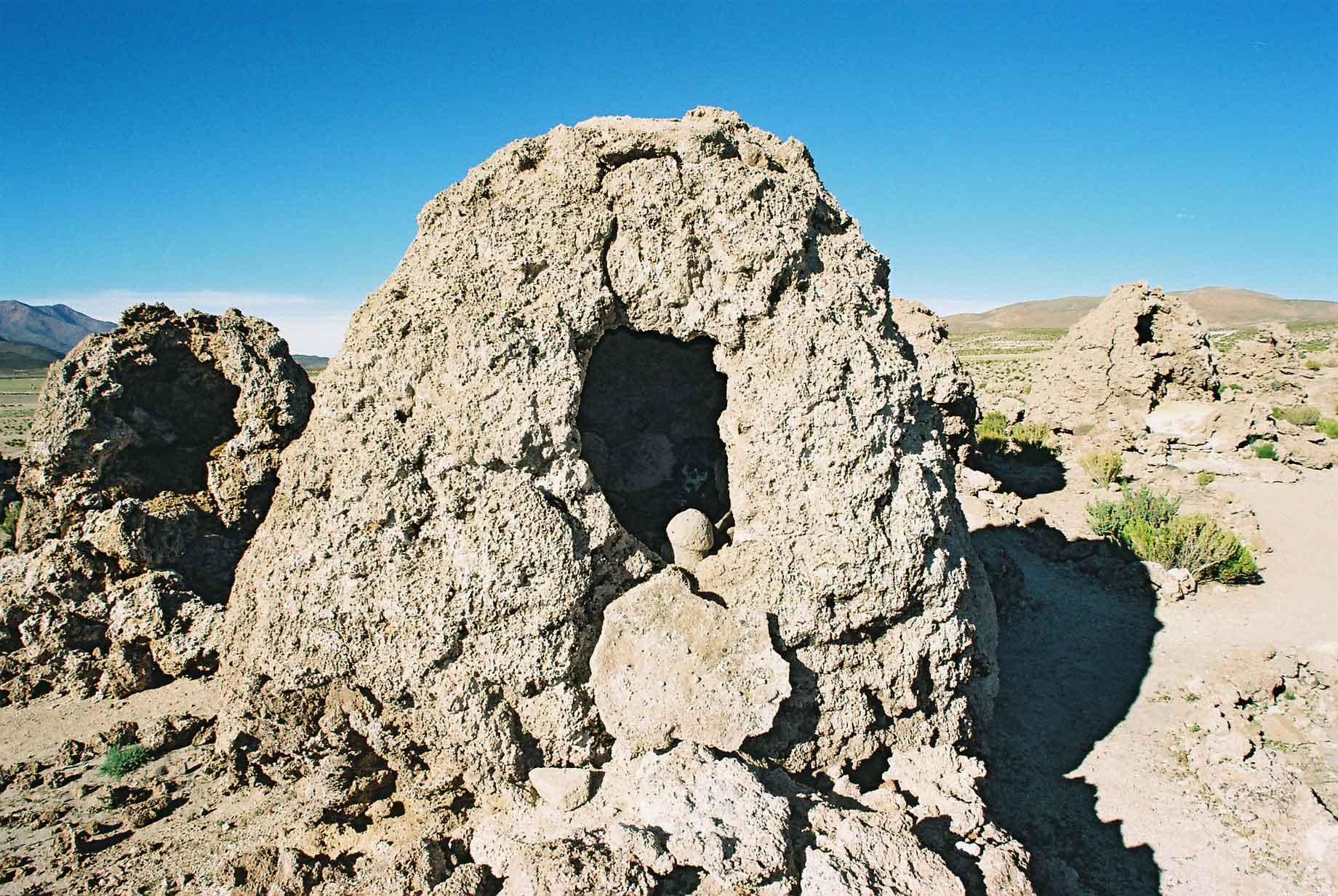
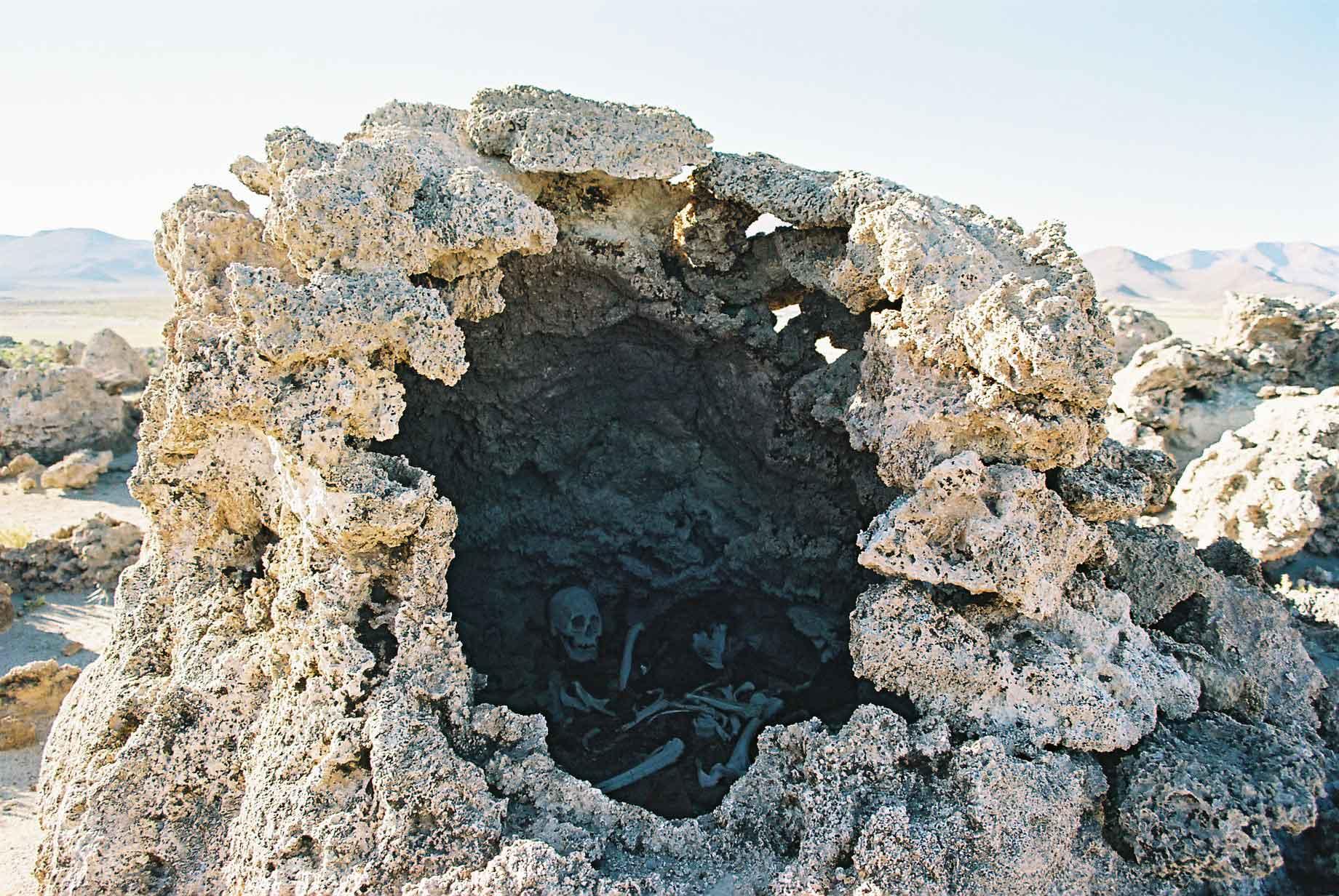
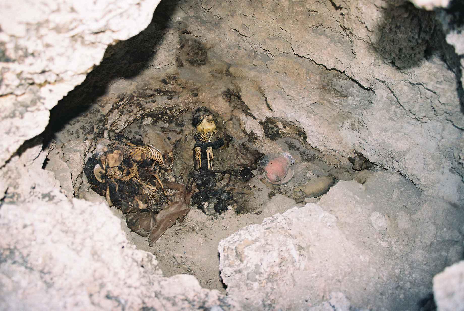
The necropolis in San Juan has a number of tombs, many of them still have the internees visible within, some with articles of pottery and clothing. These tombs are thousands of years old and egg shaped, carved from a volcanic rock. From a distance they are not particularly recognisable as anything special (photo 1). The tombs in one group all face the sunrise and the other group a little way away all face the sunset.
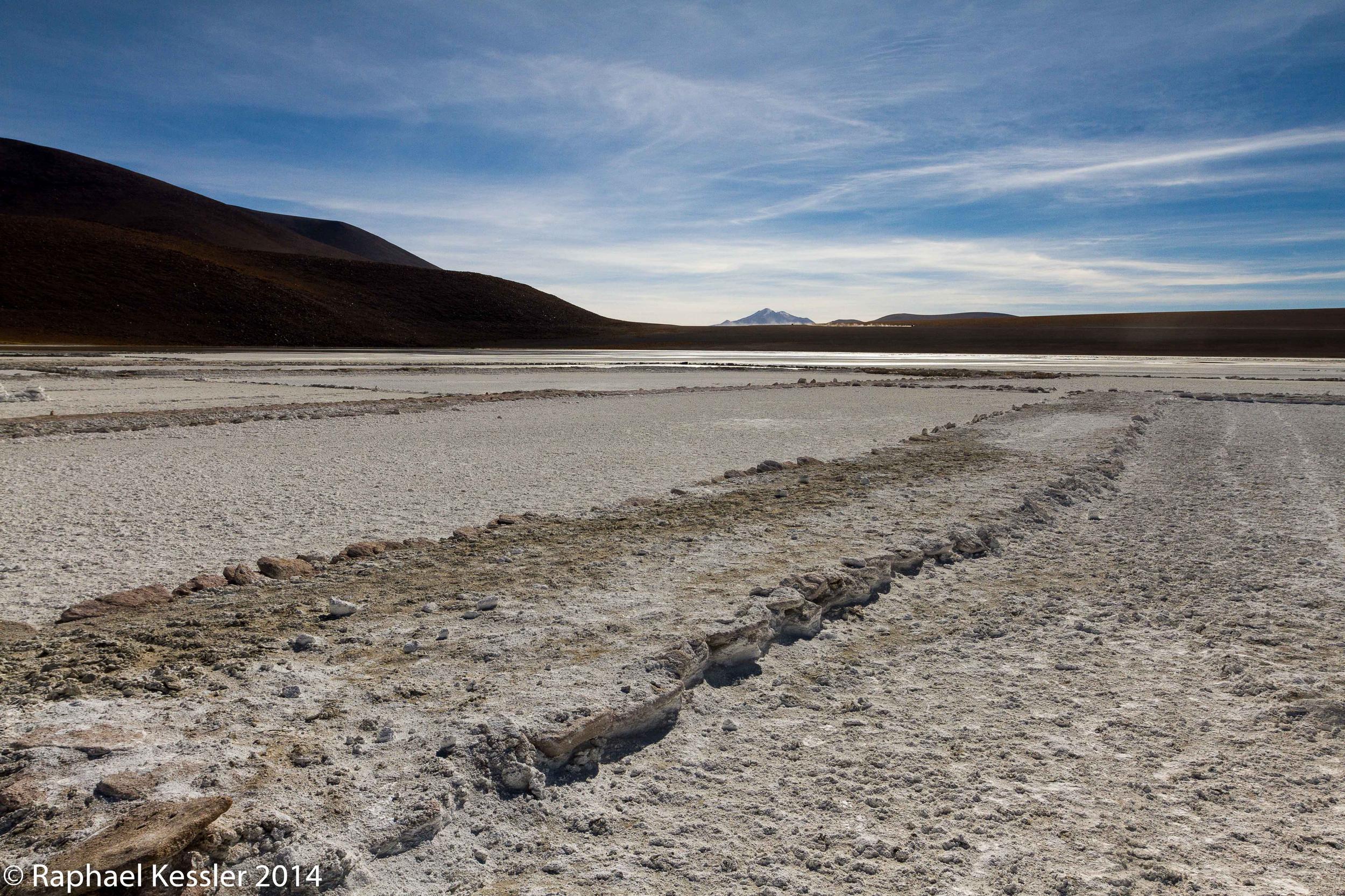
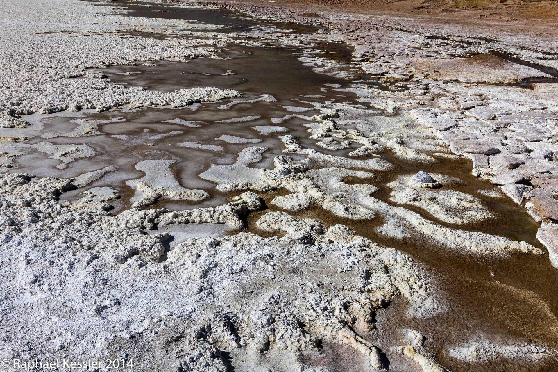
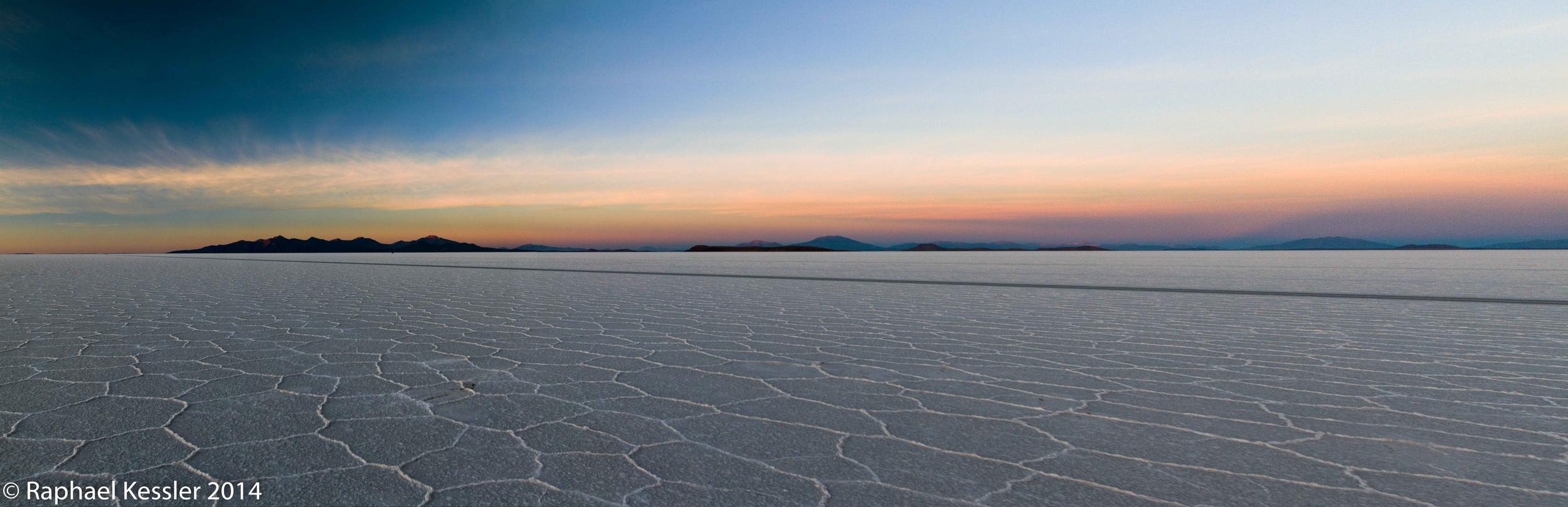
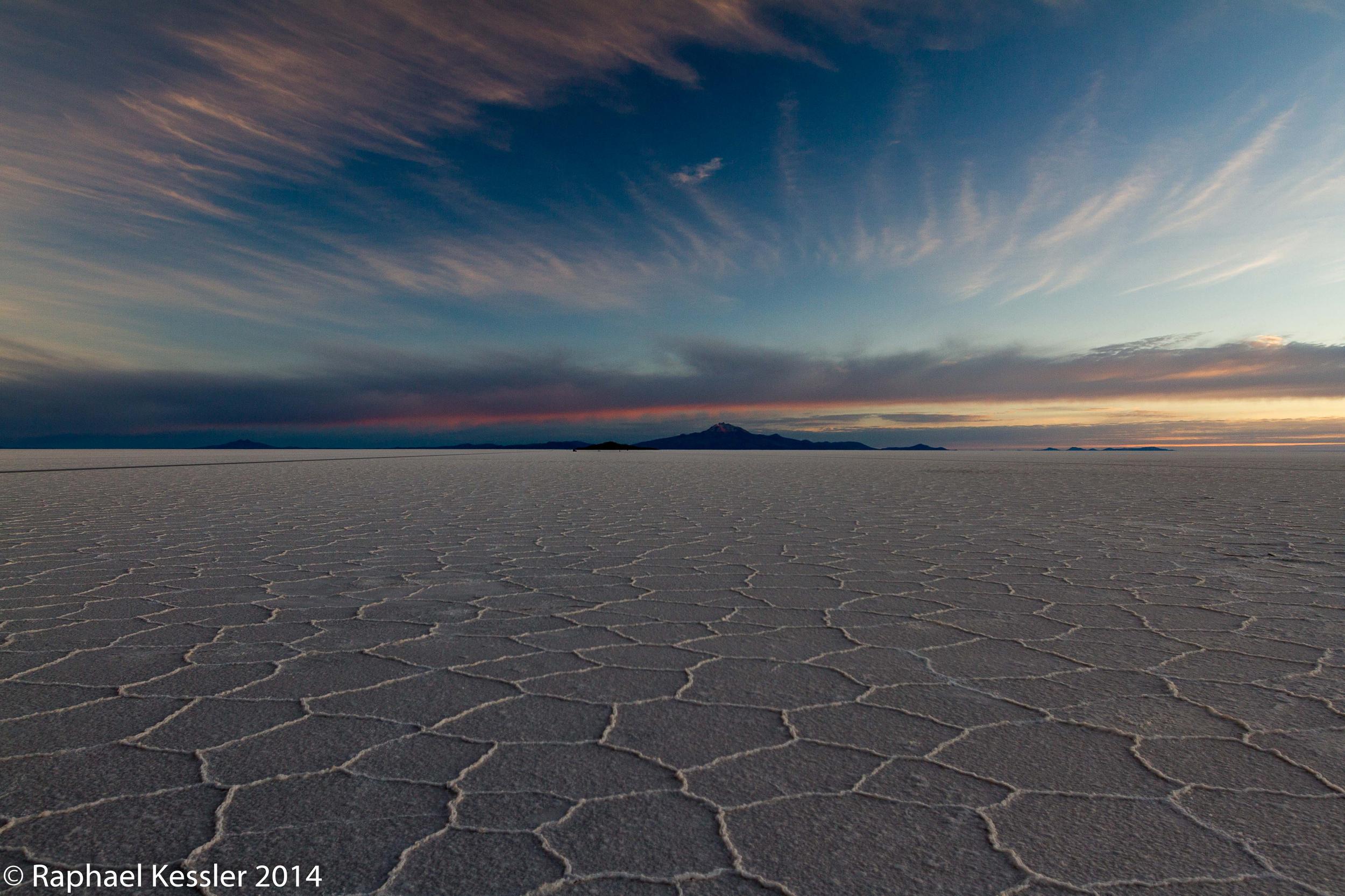
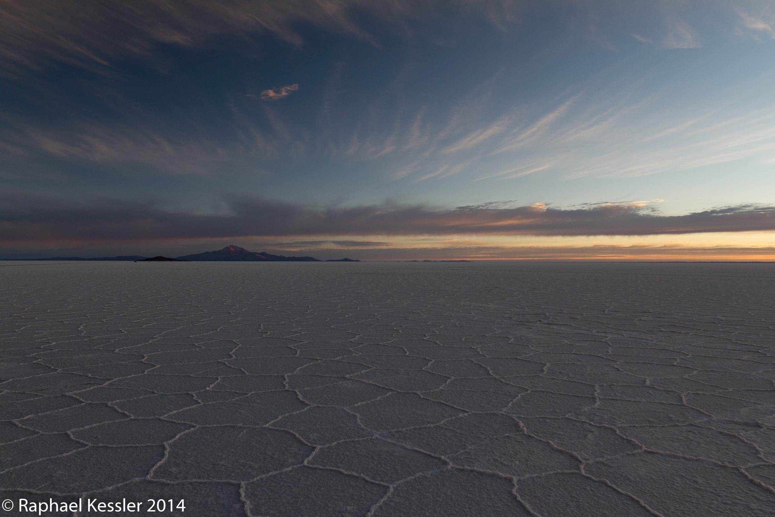
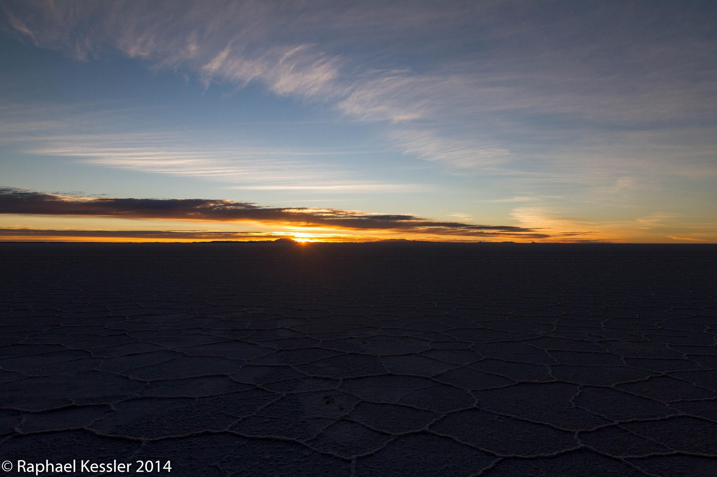
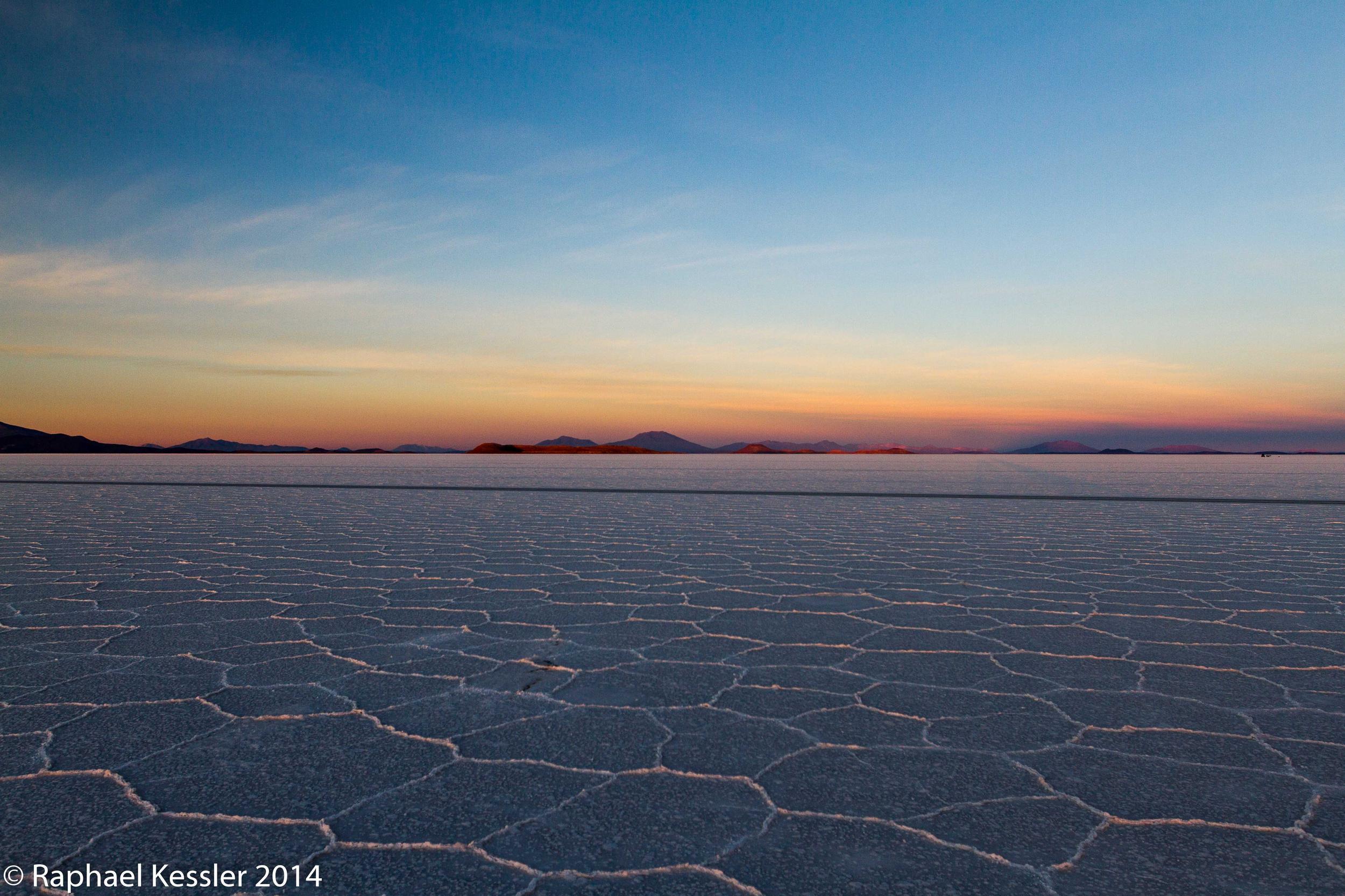
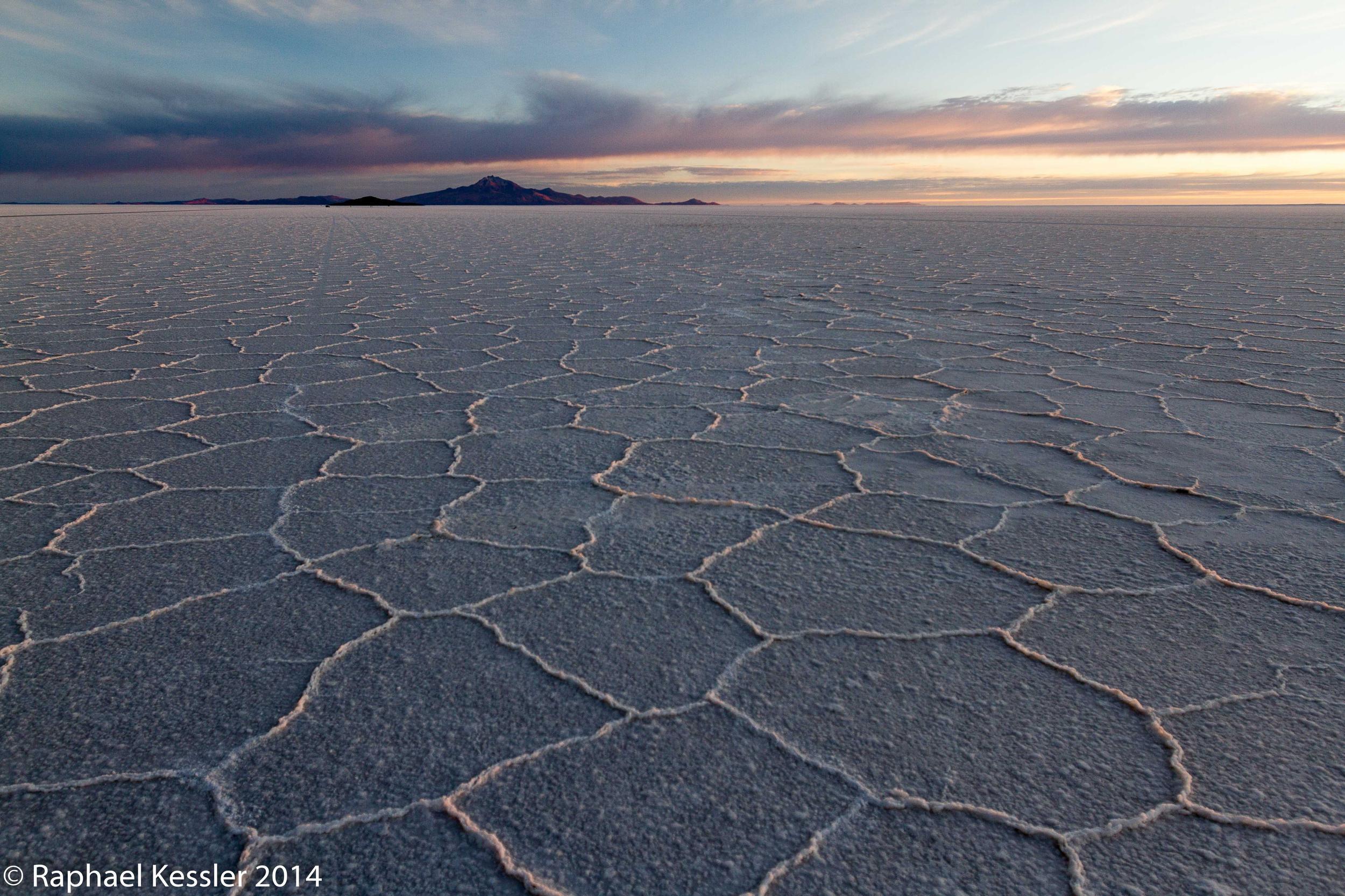
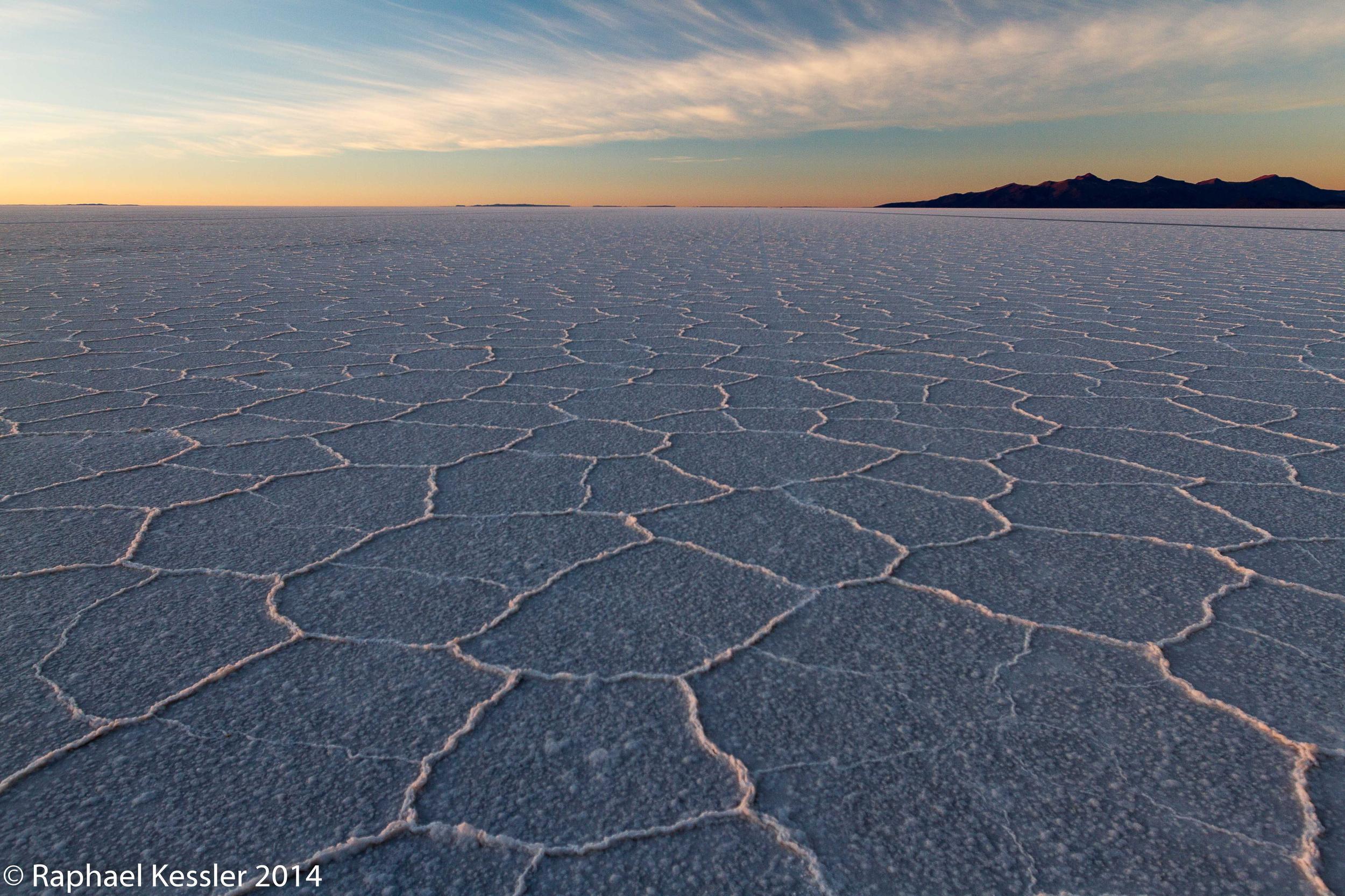
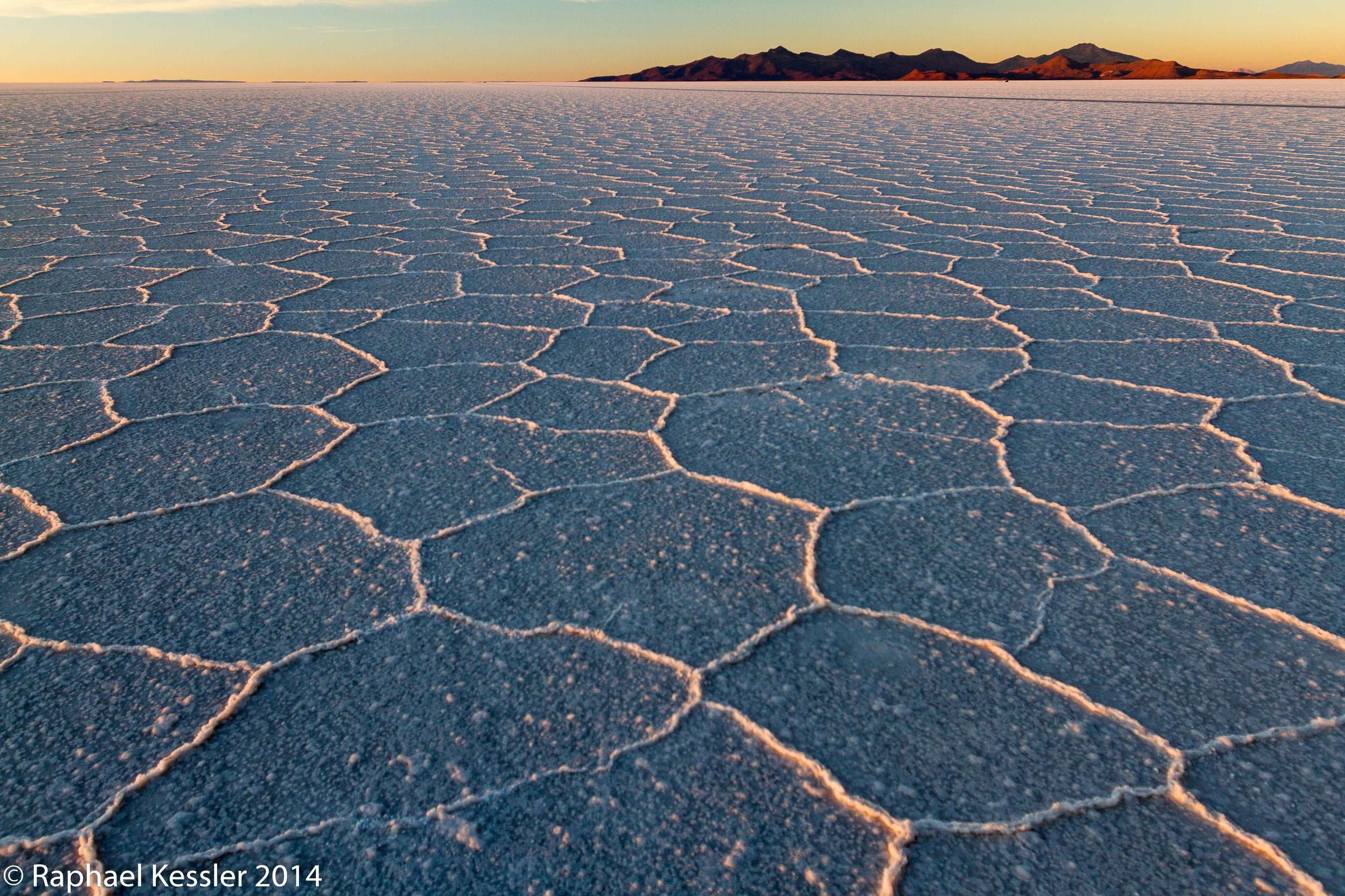
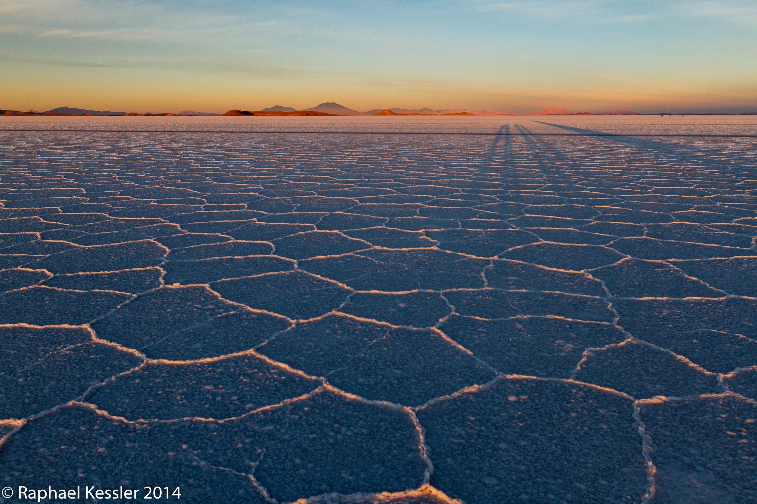
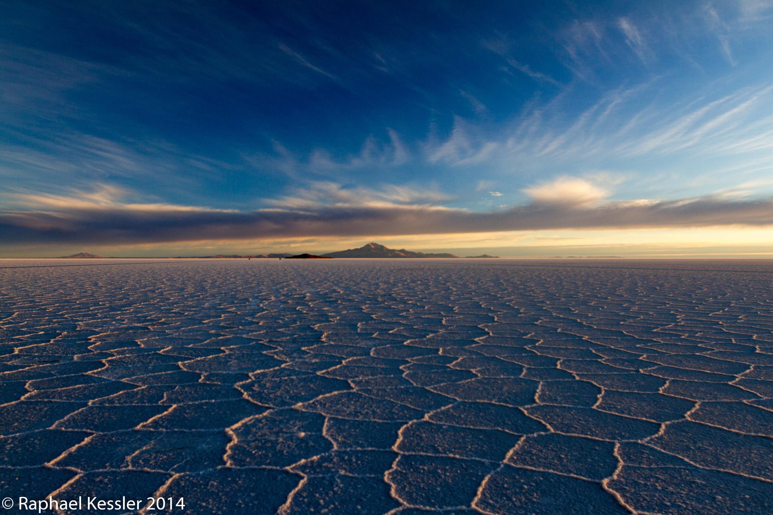
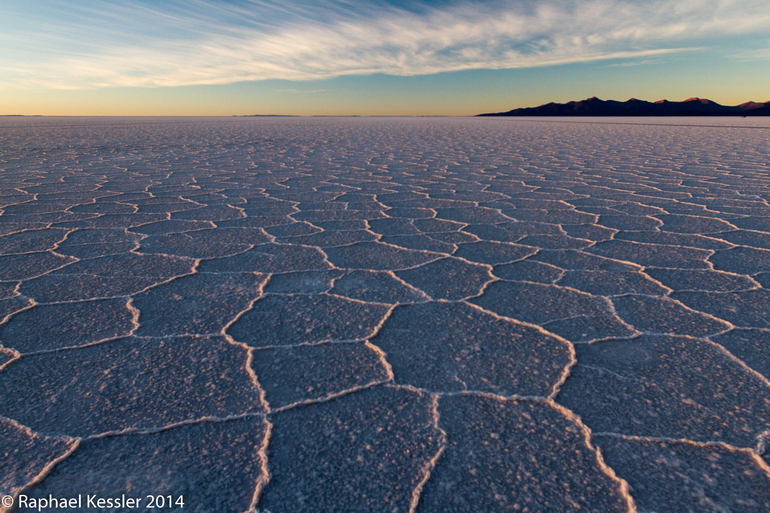
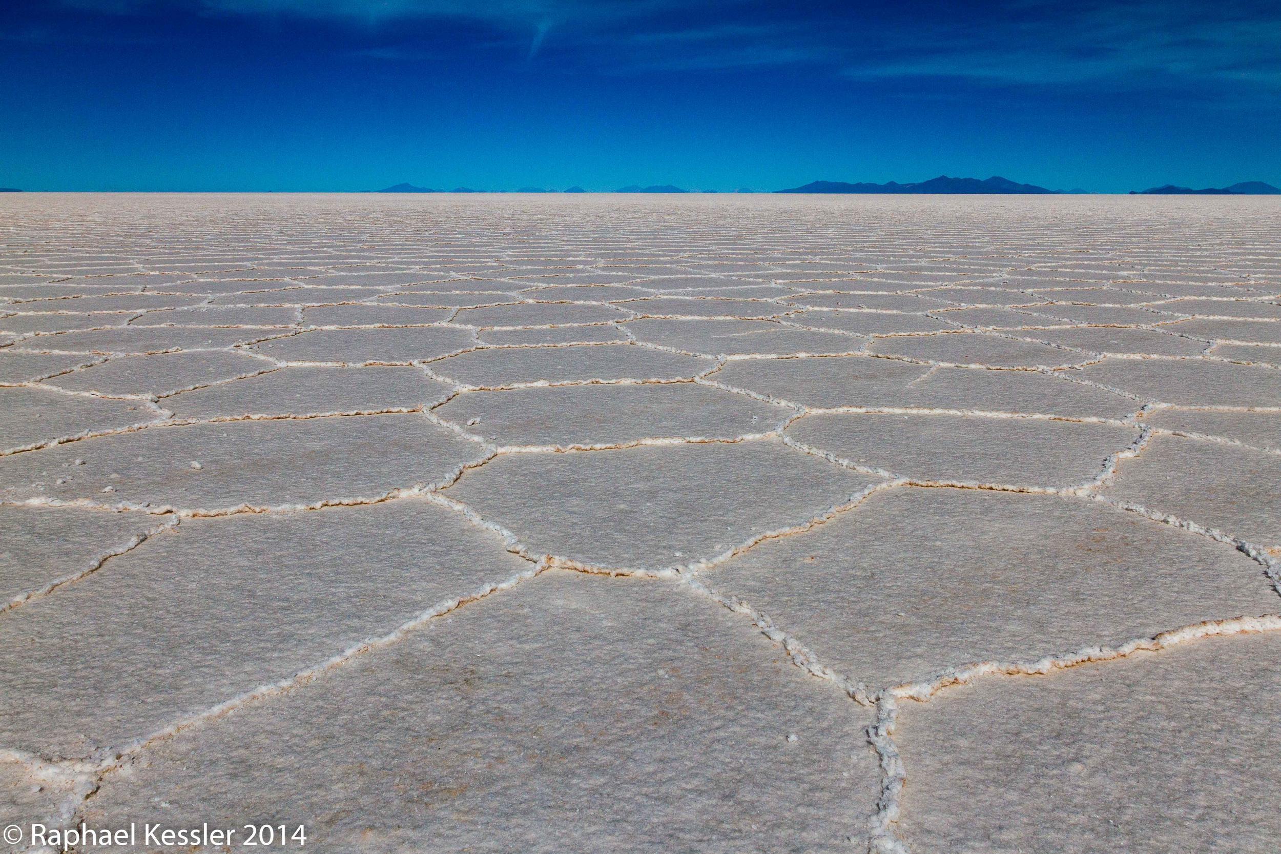
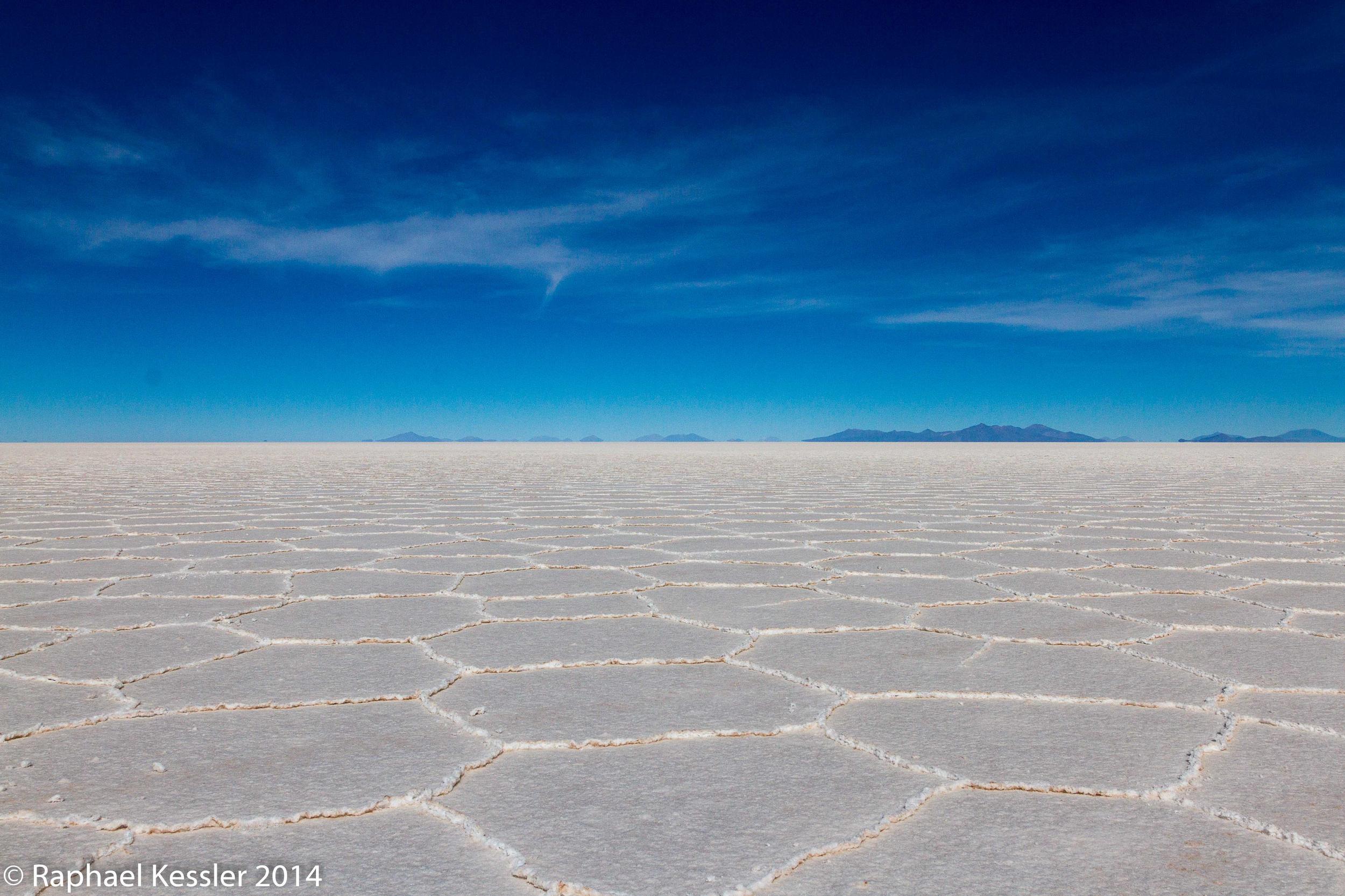
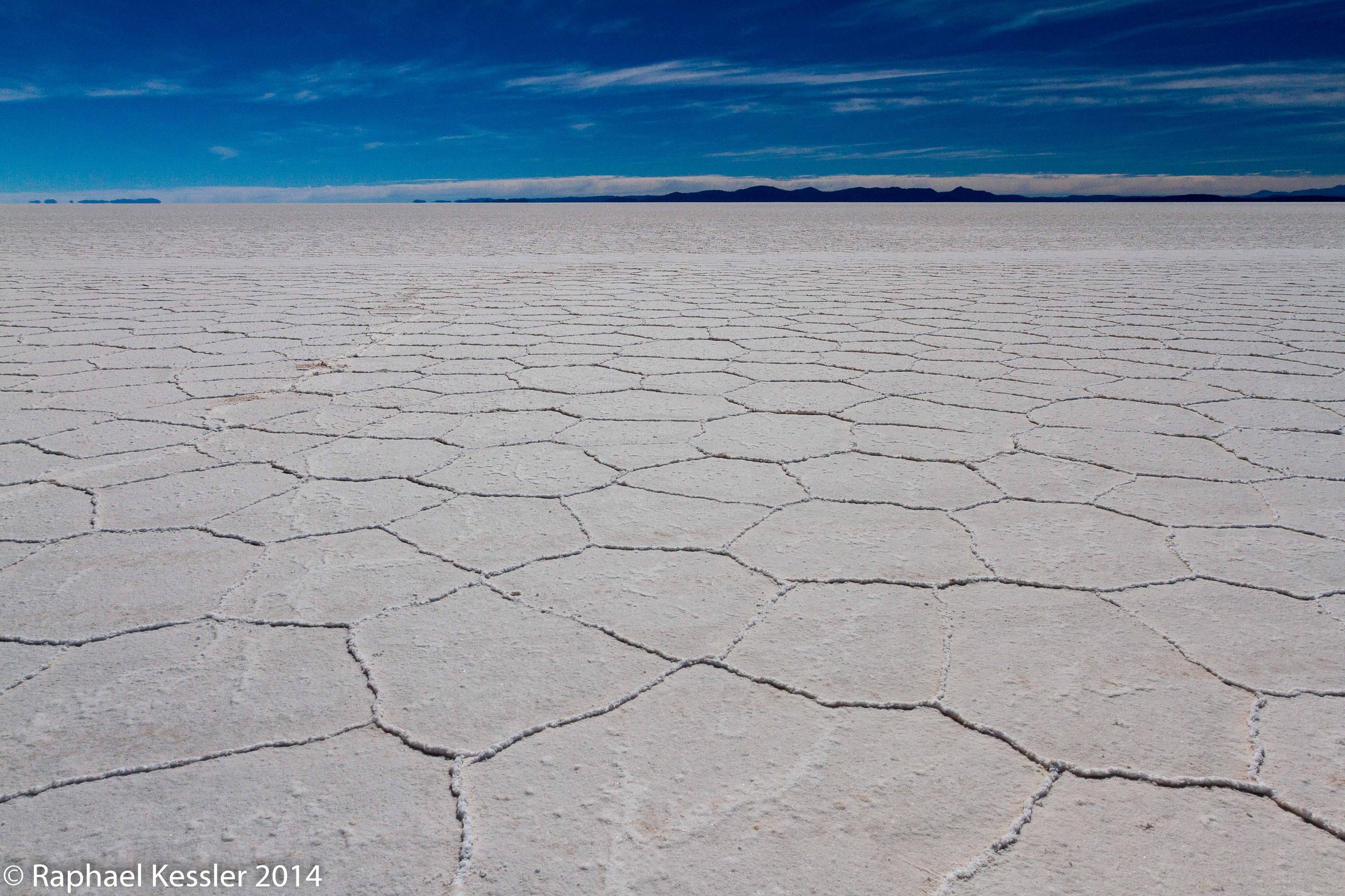
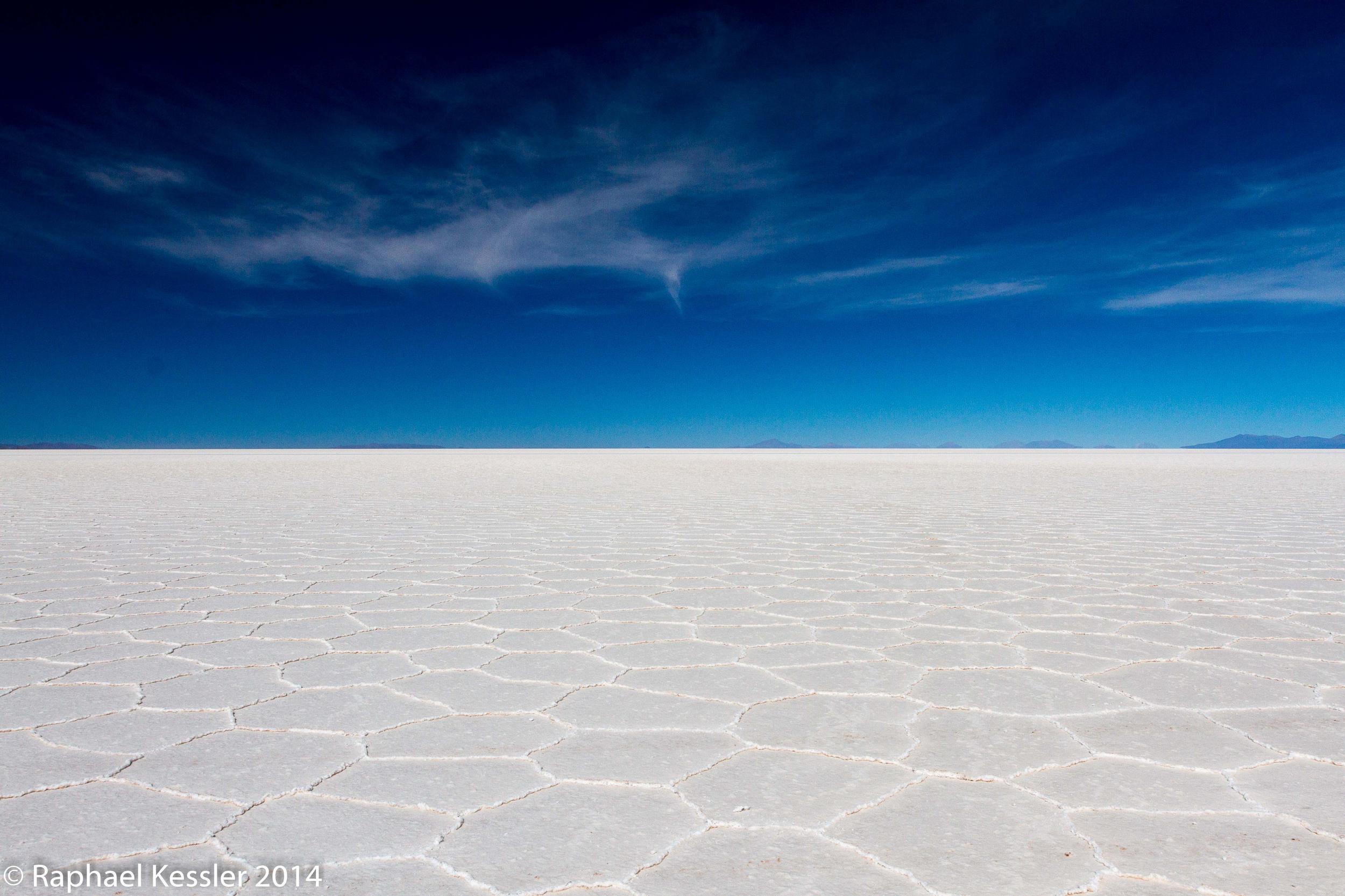
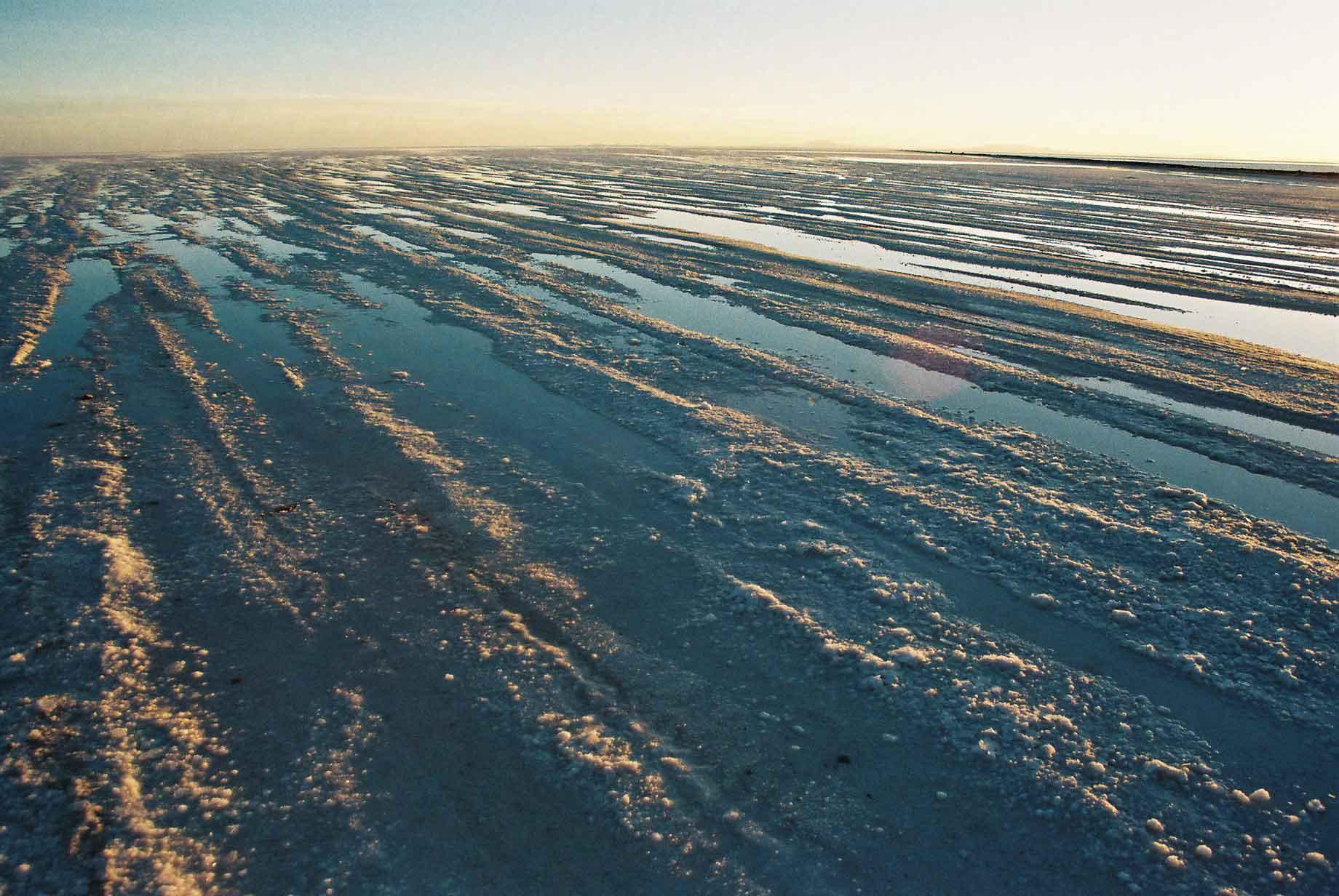
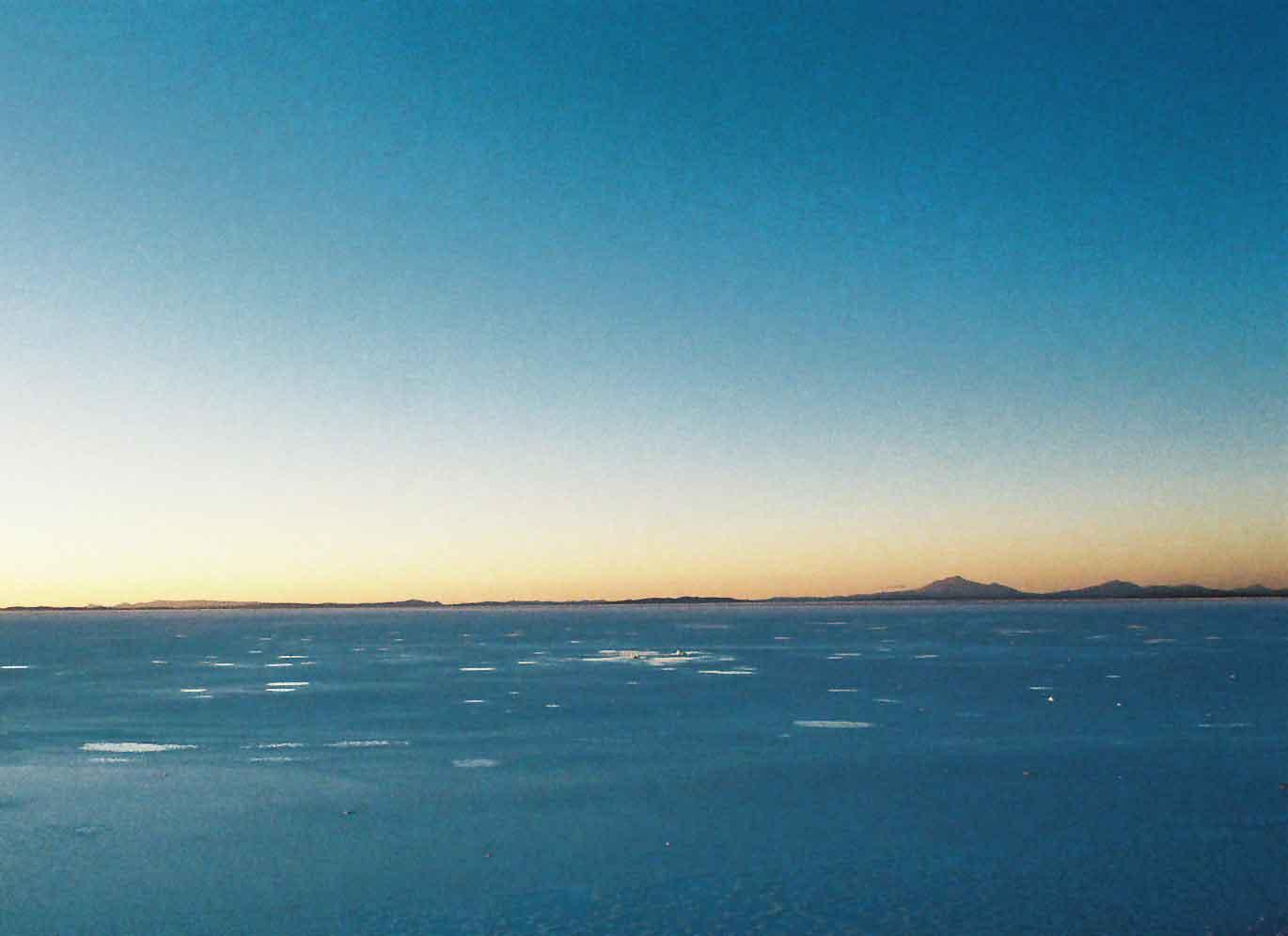
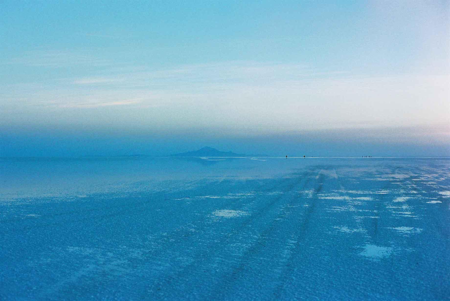
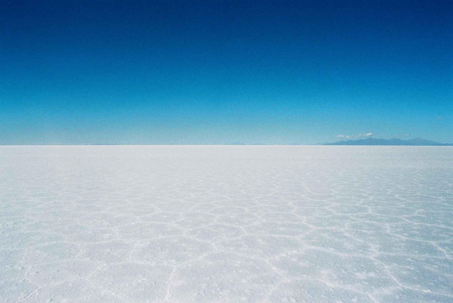
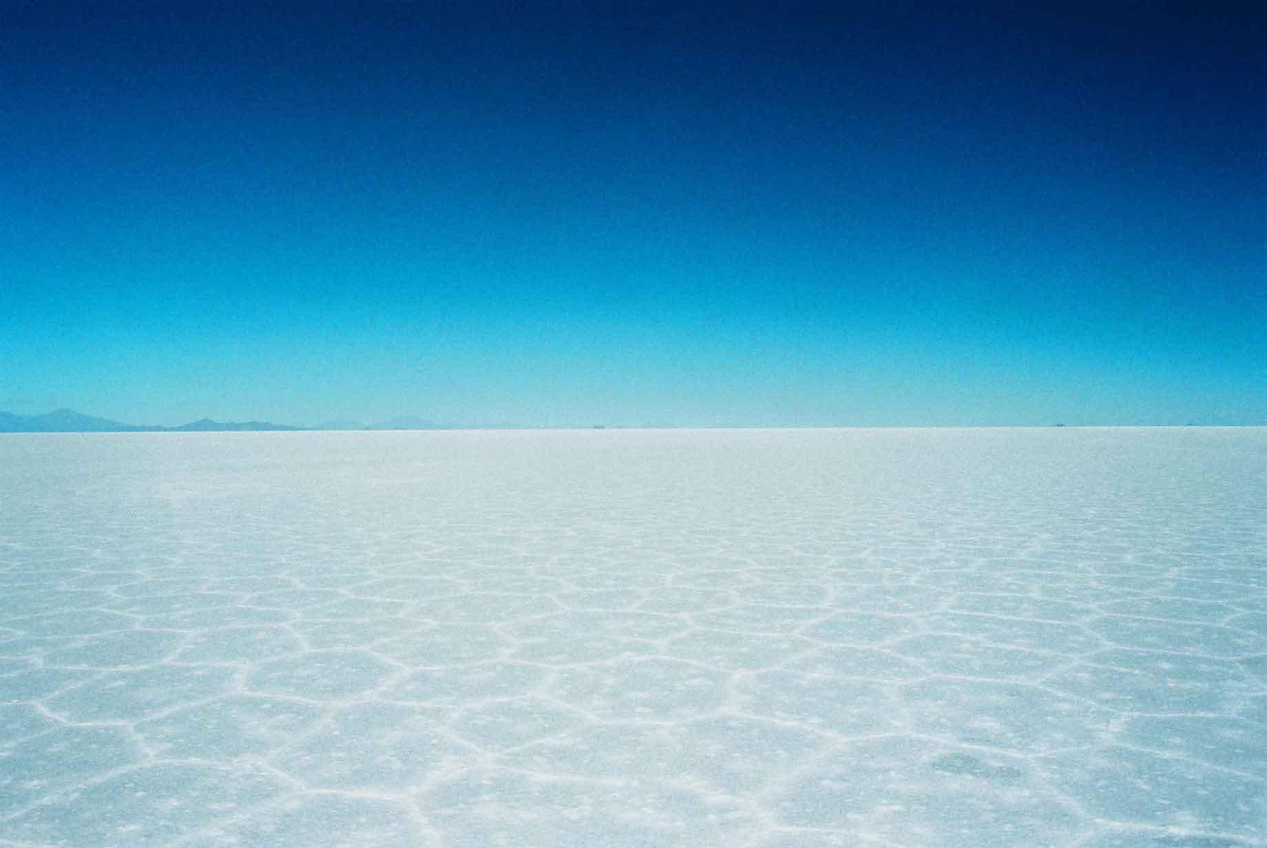
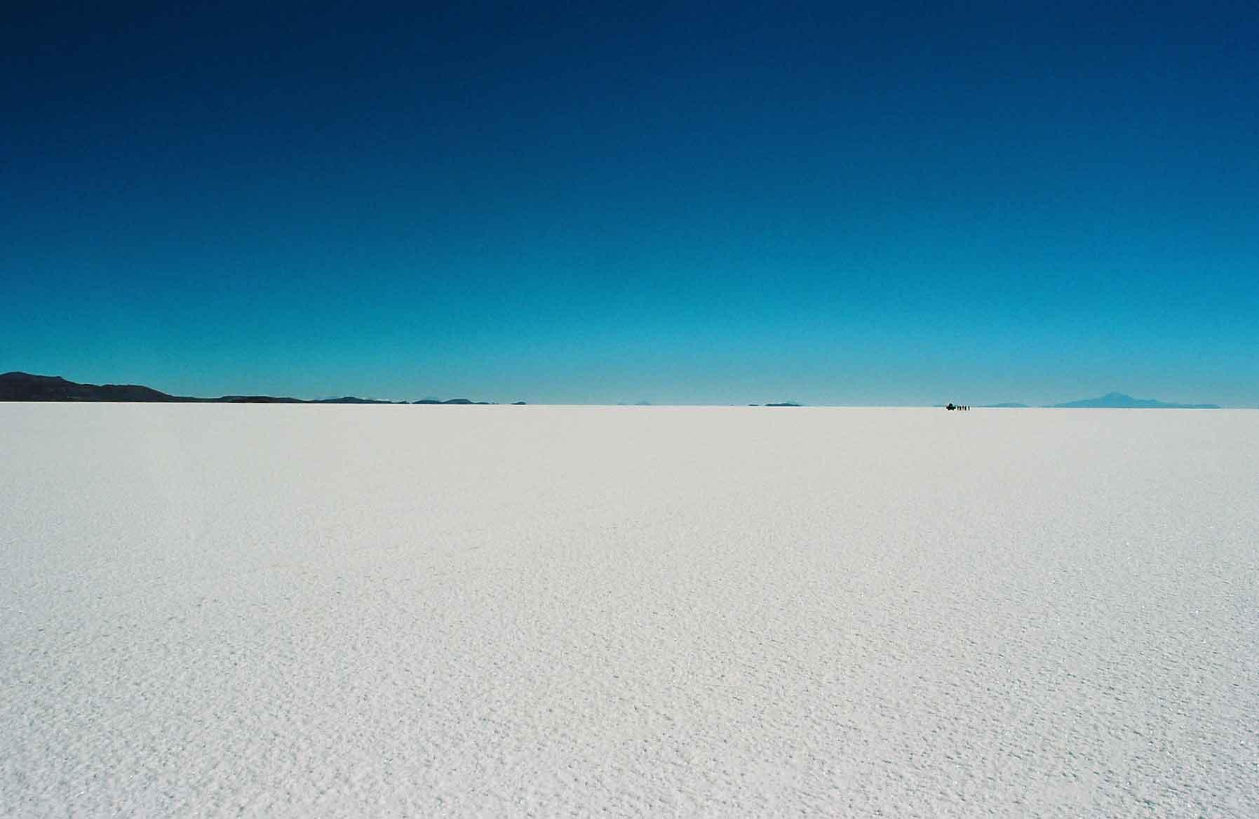
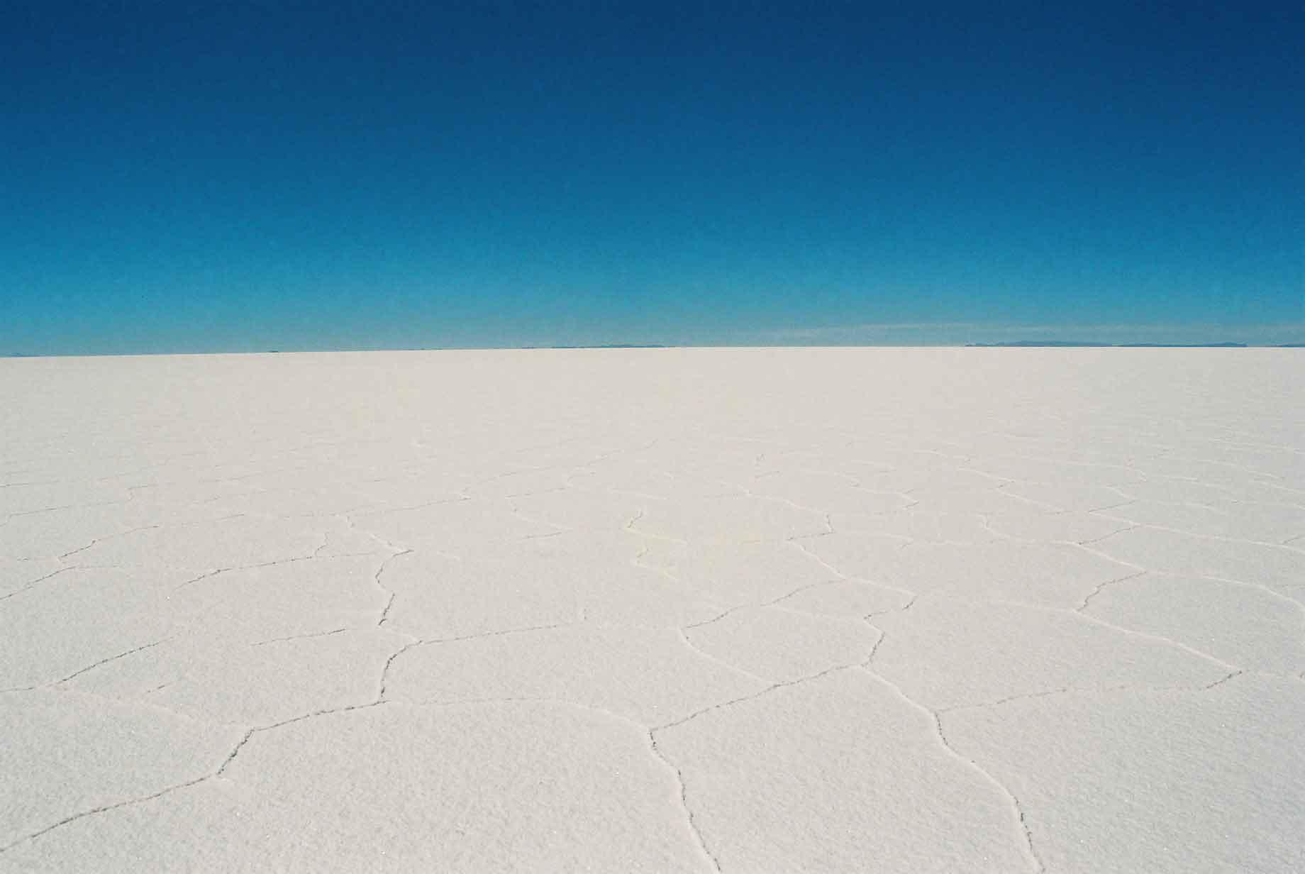
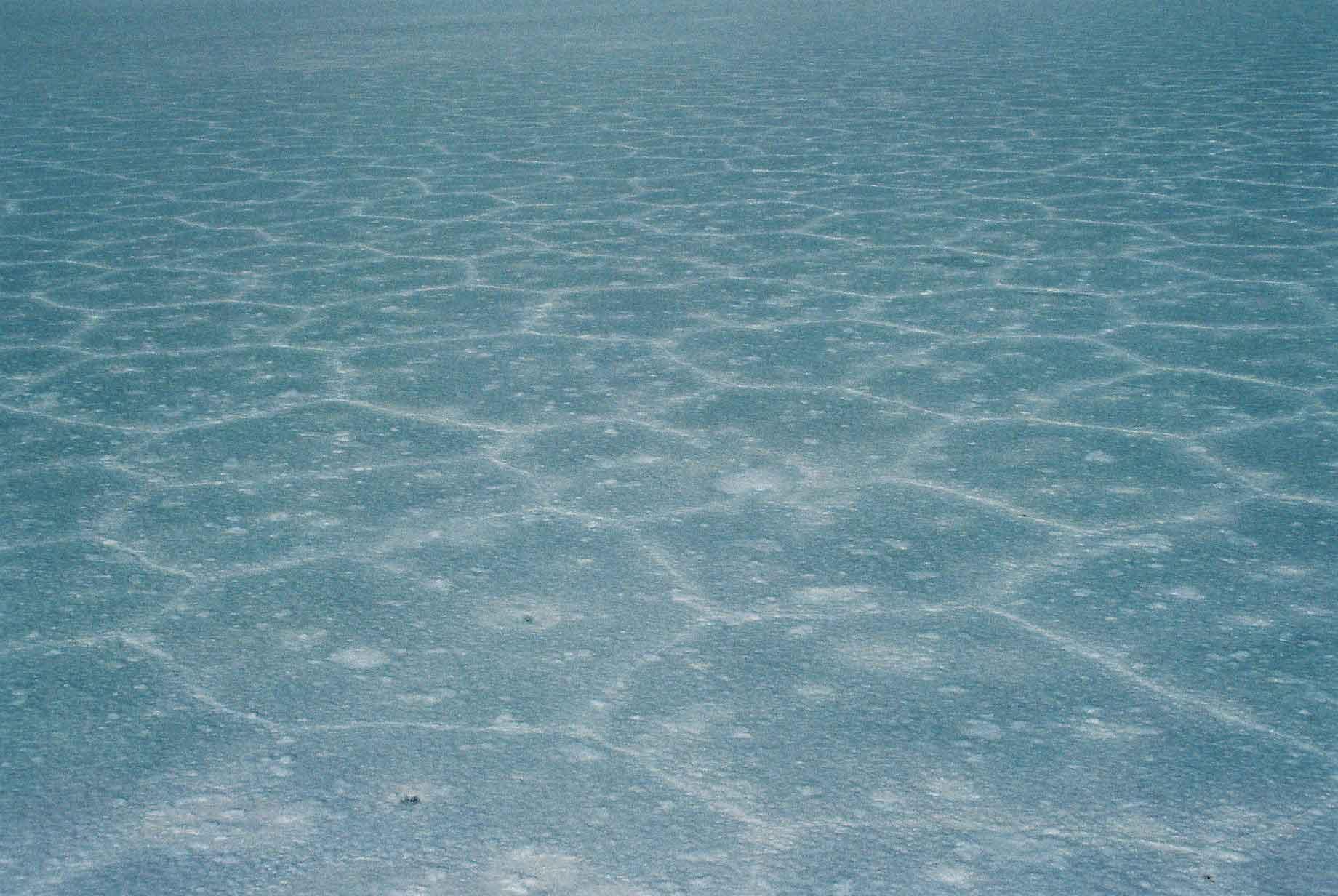
The climax and culmination of the tour is the arrival at the salt flat itself. It is a surreal place, with views of hundreds of kilometres in all directions. In different parts the crystallisation is different. Around the edges, the first time I went, there was more water, tracks and mud (photos 2&3). The salt / mud combination has meant squarer crystallisation in parts (photos 4 & 5). Using a bit of trick photography, one can see the patterns on the salt running into the distance (photo 7).
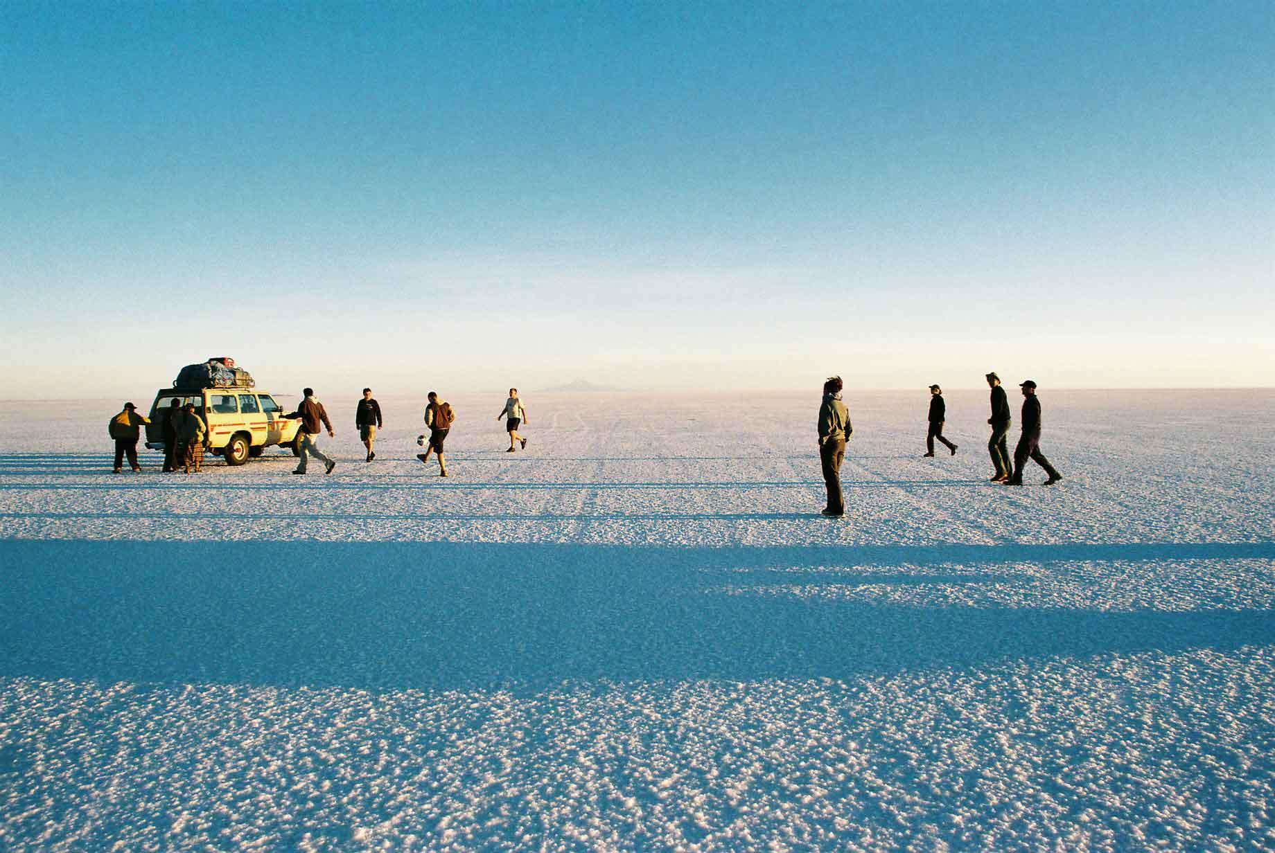
Football at 4,000 metres is not advisable, also with a pitch this big and flat and the air so thin, the ball can just keep on going, which means more running and less oxygen.
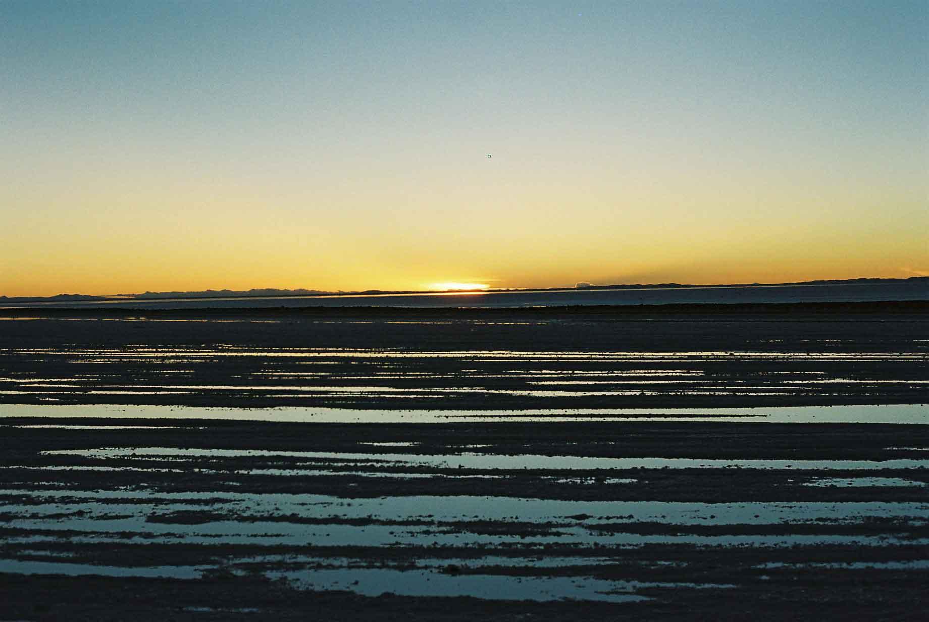
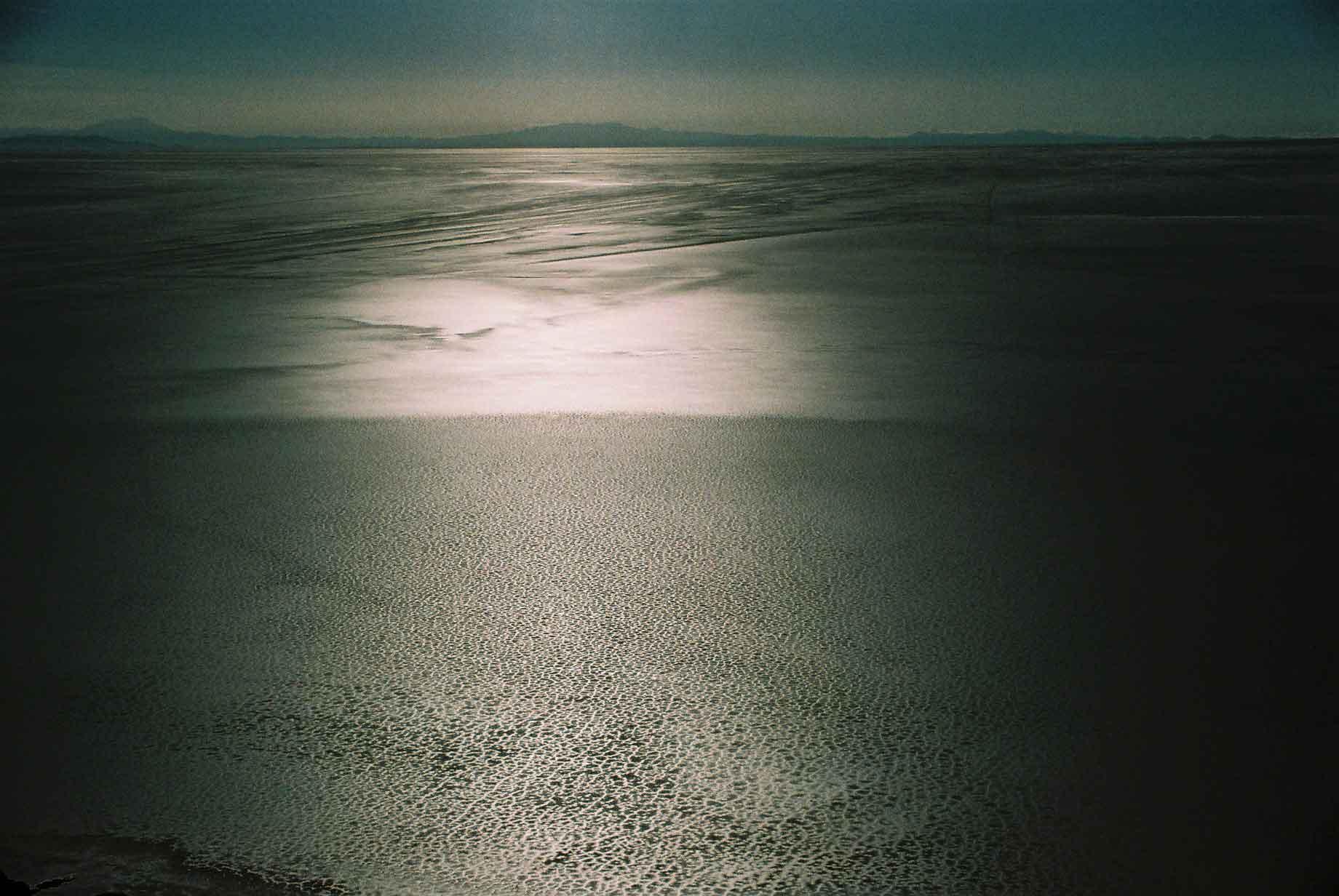
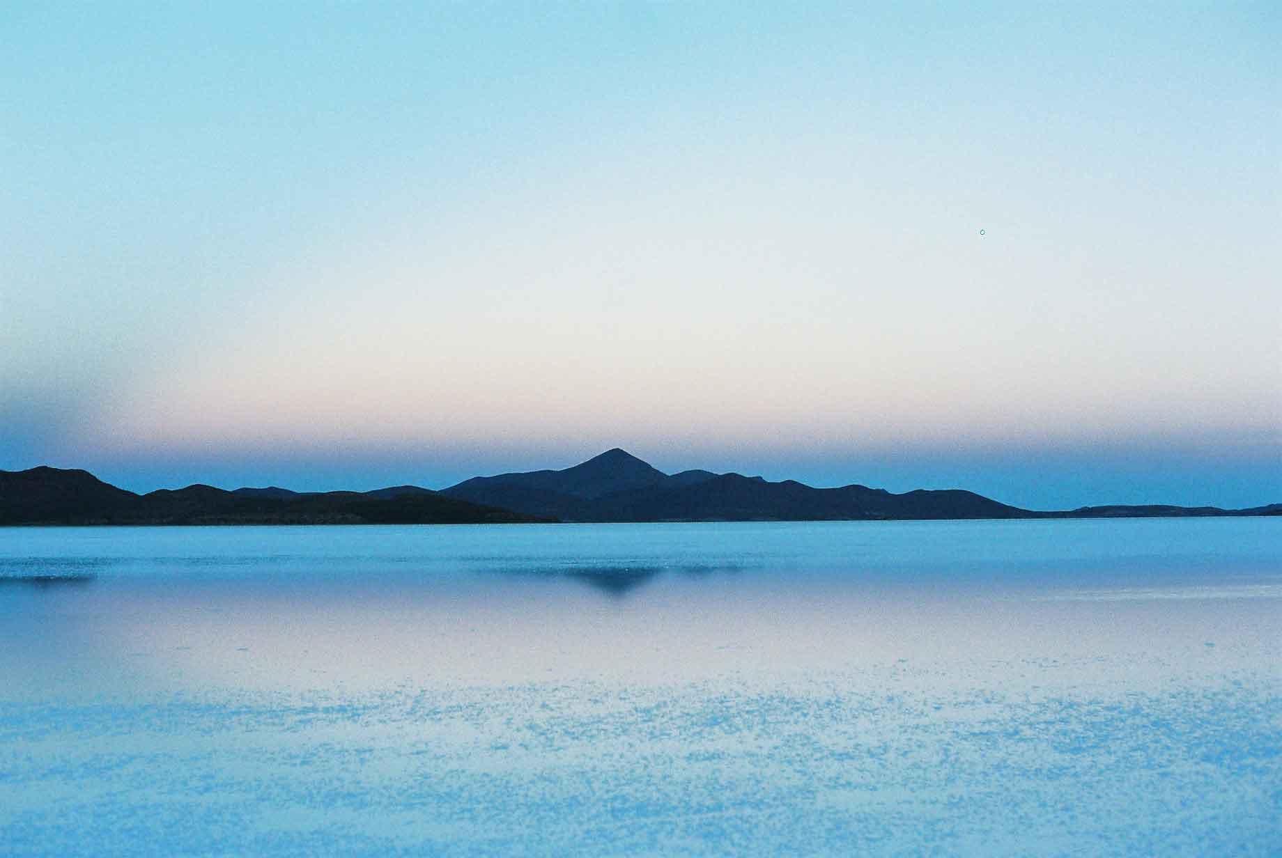
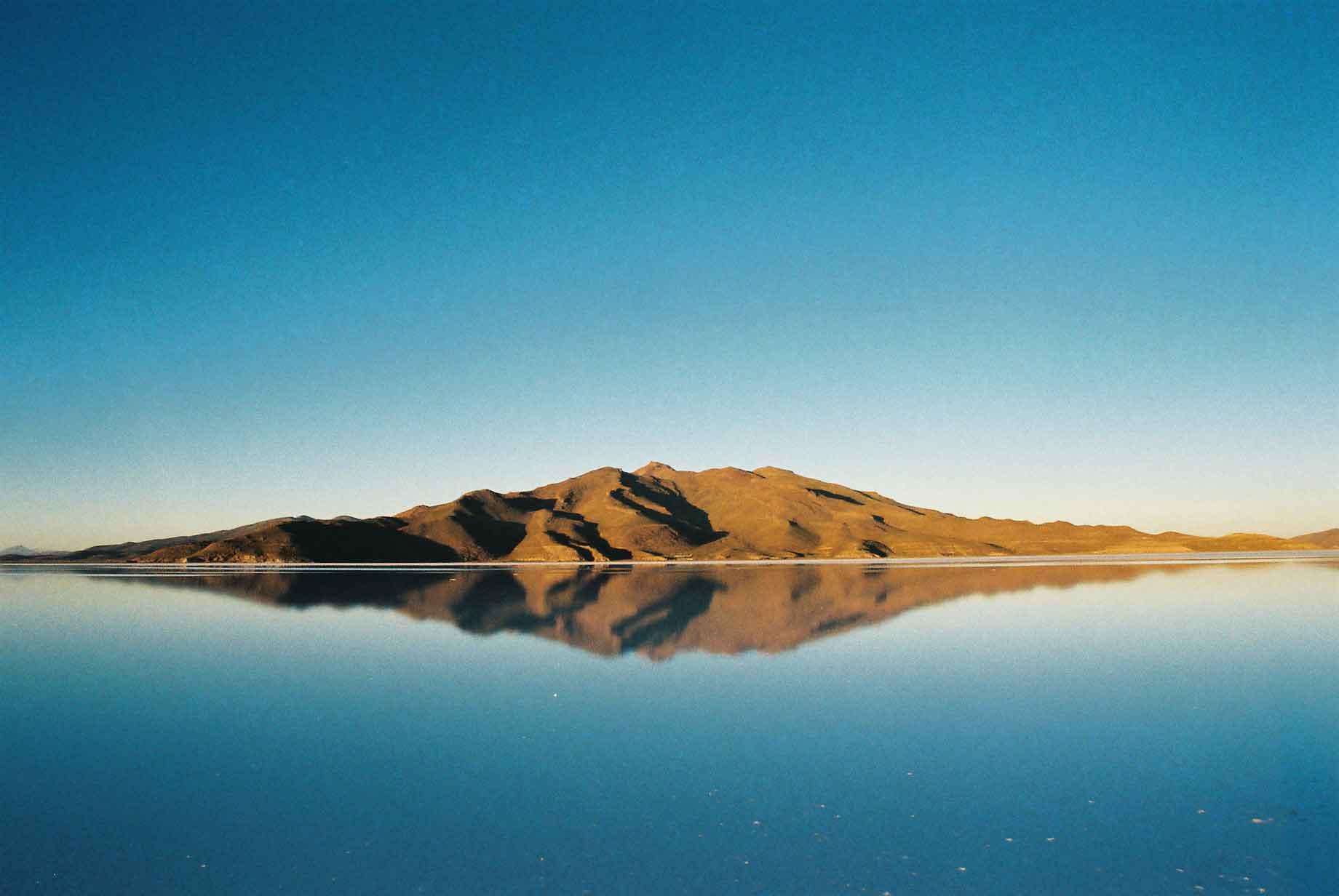
The sunrise on the Salar created some lovely colours. In some parts the still surface water created a natural mirror, reflecting the sky and scenery perfectly (photo 5).
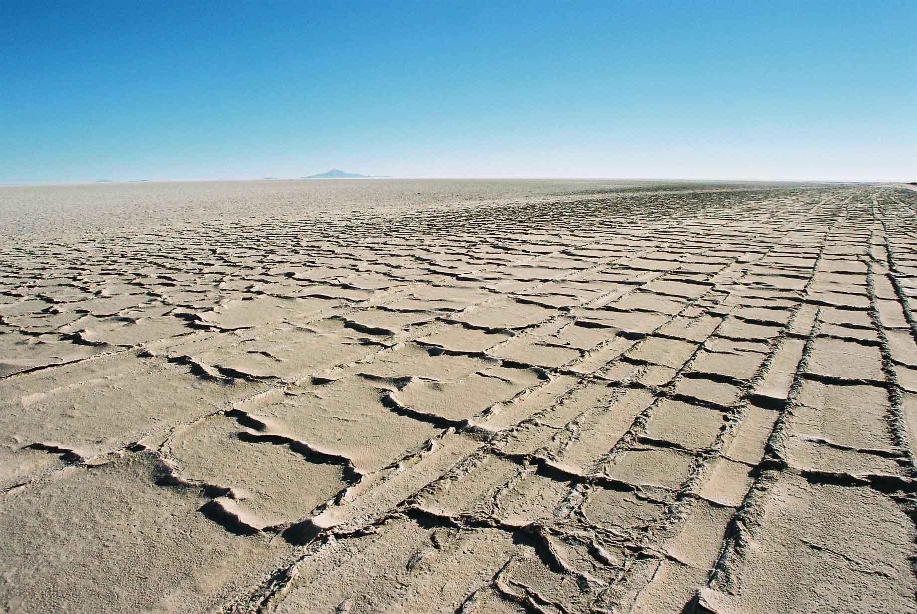
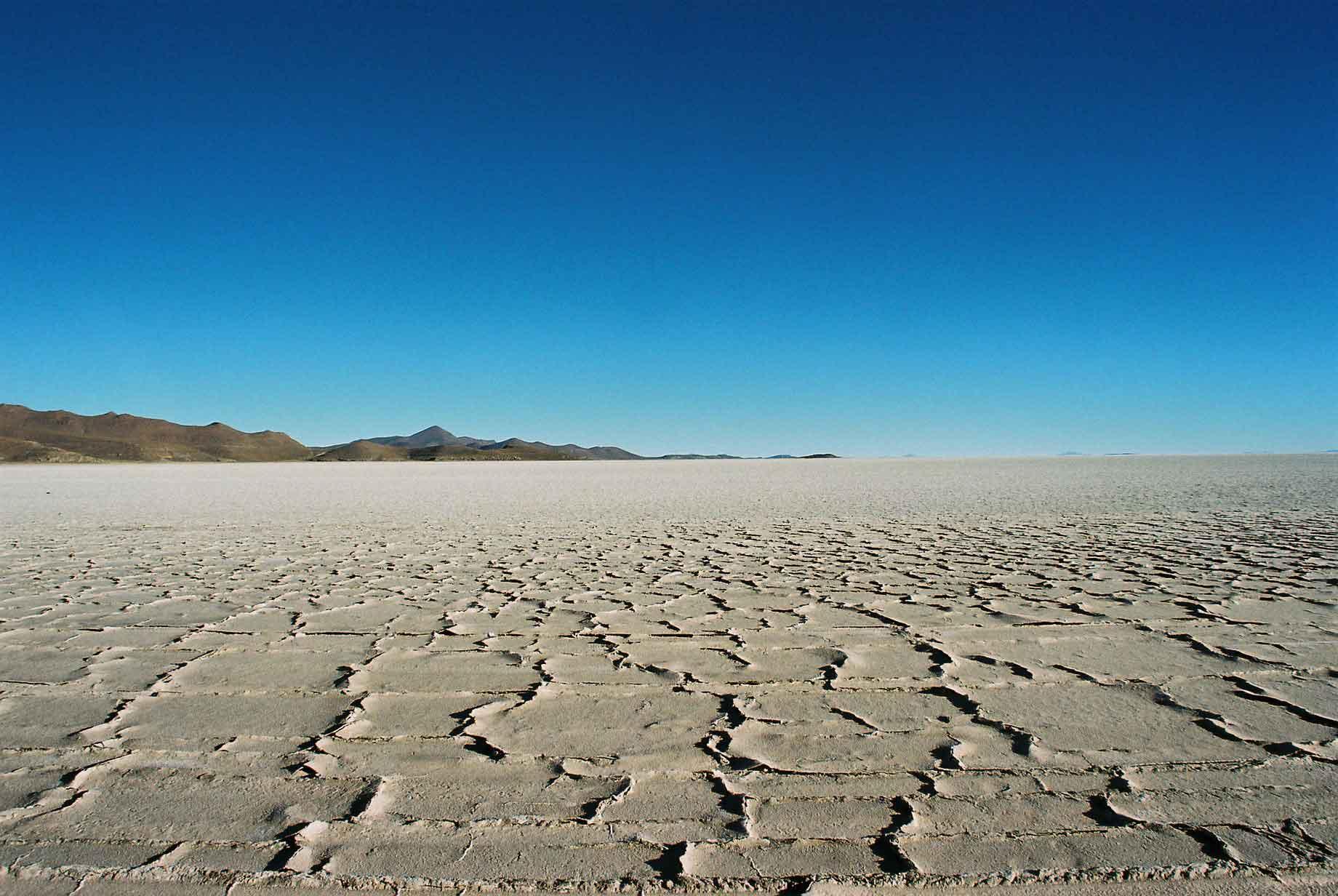
Further in the salt was as hard as rock and dry.
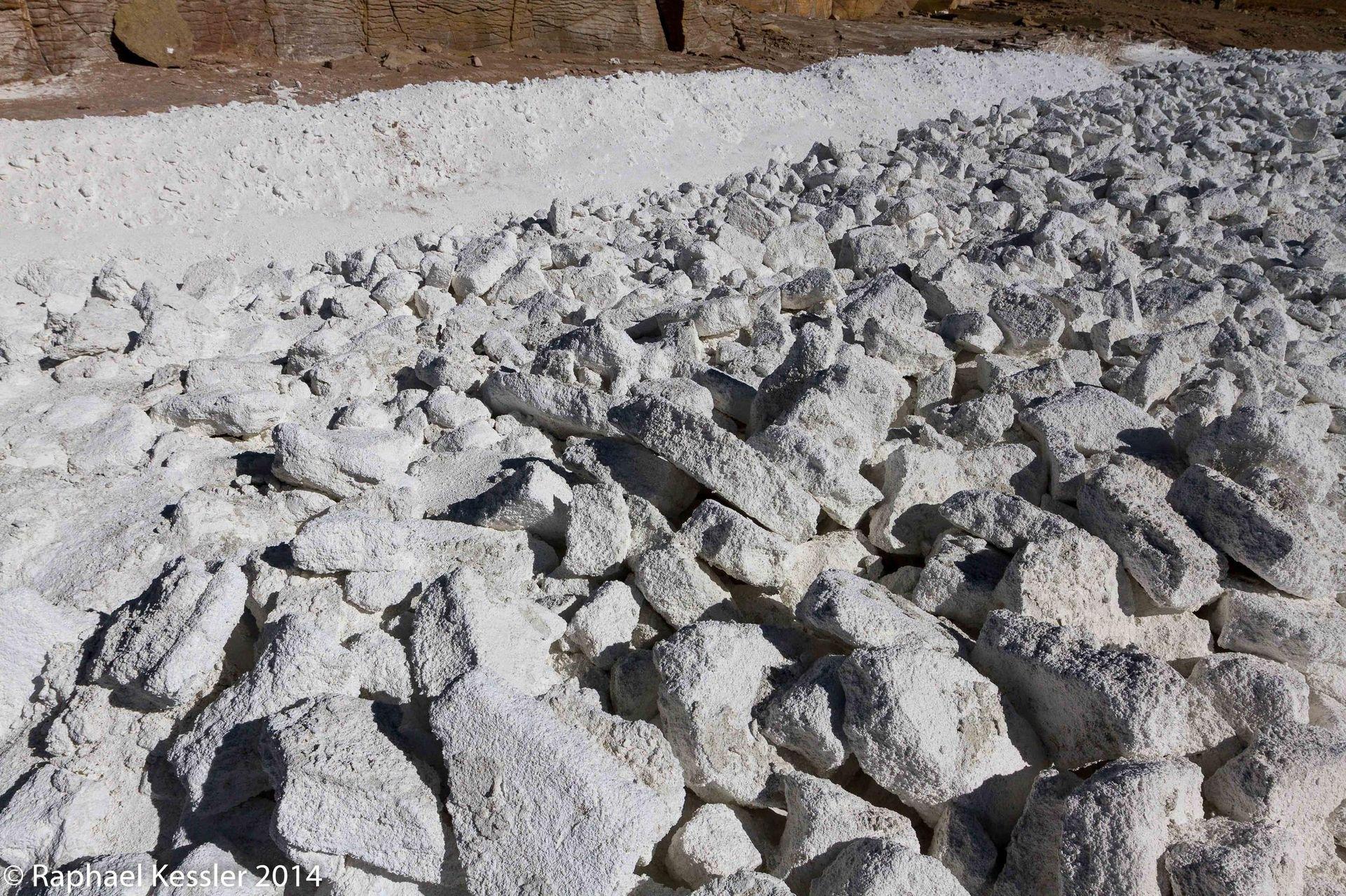
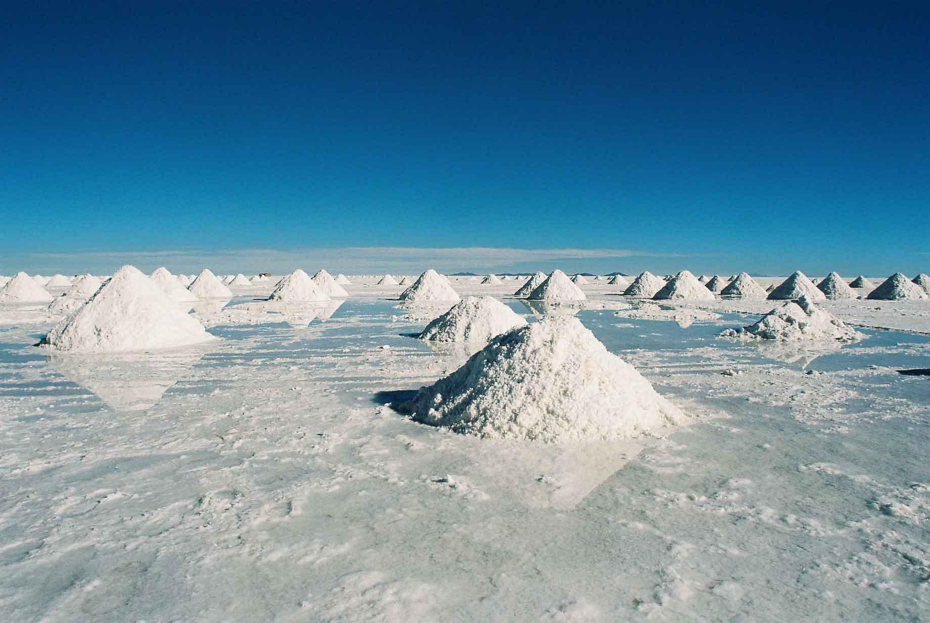
On the side nearest to Uyuni they are mining and refining the salt which is put into mounds before being taken away. It is also apparently where seventy percent of the world's lithium reserves can be found.
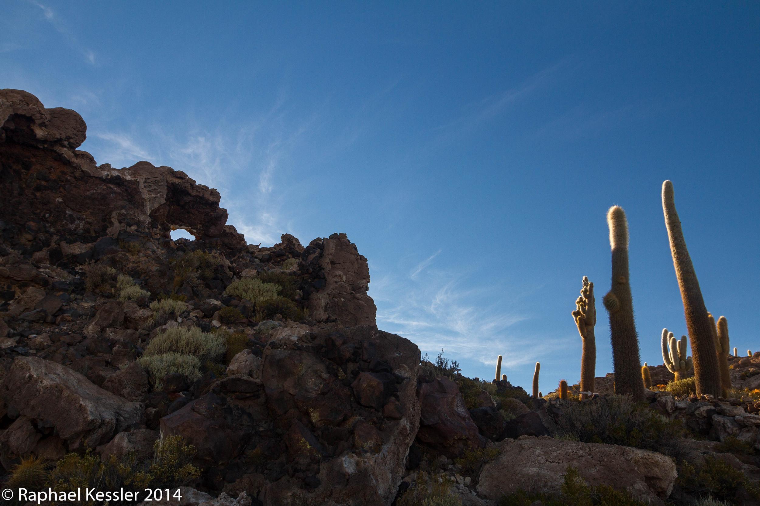
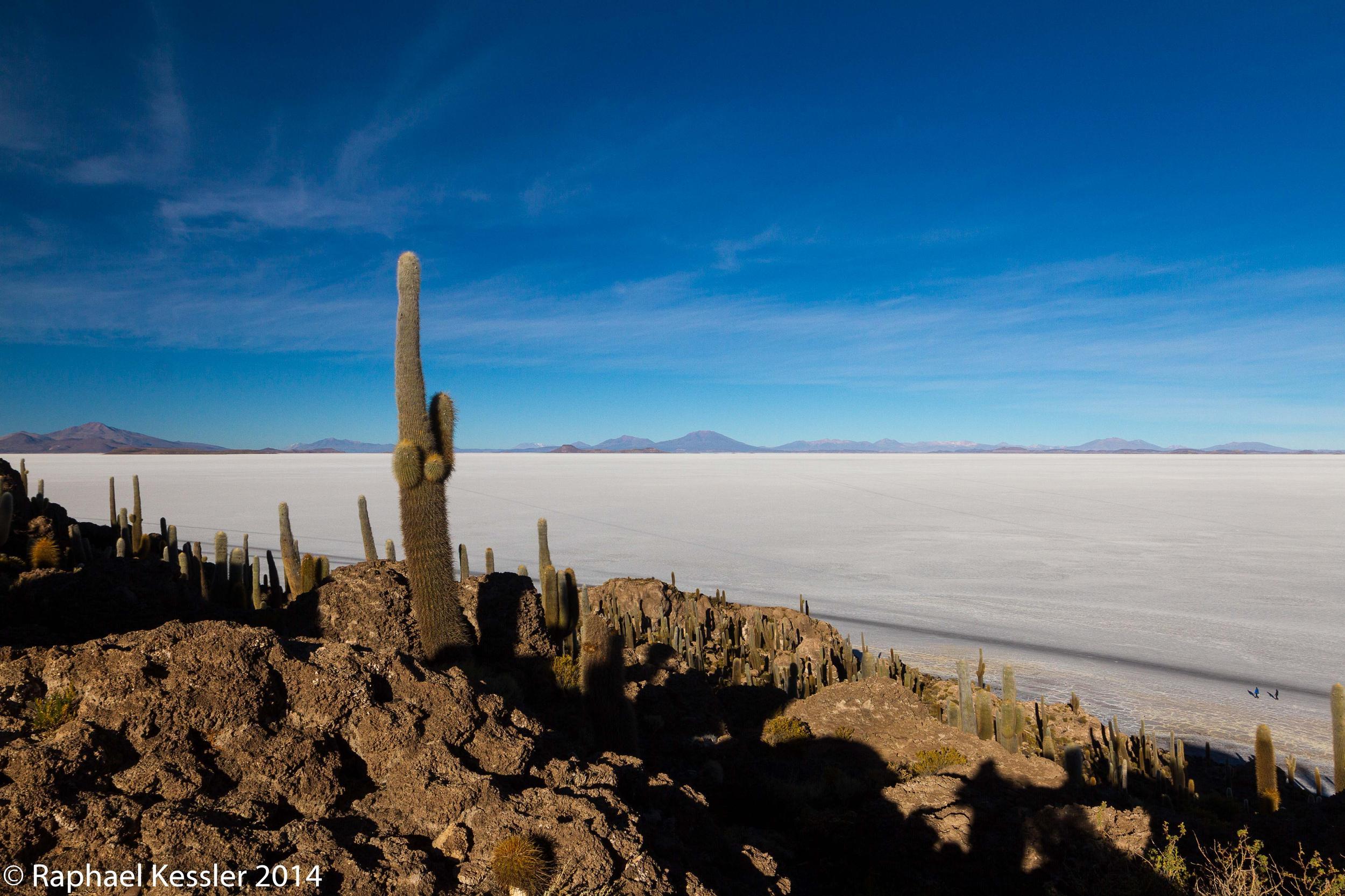
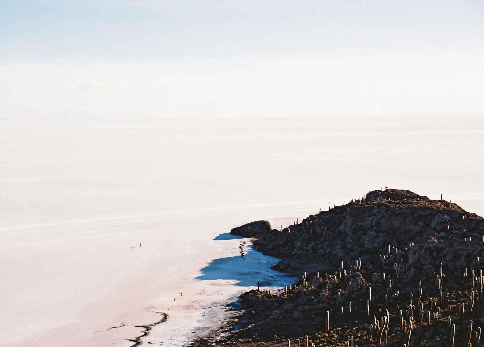
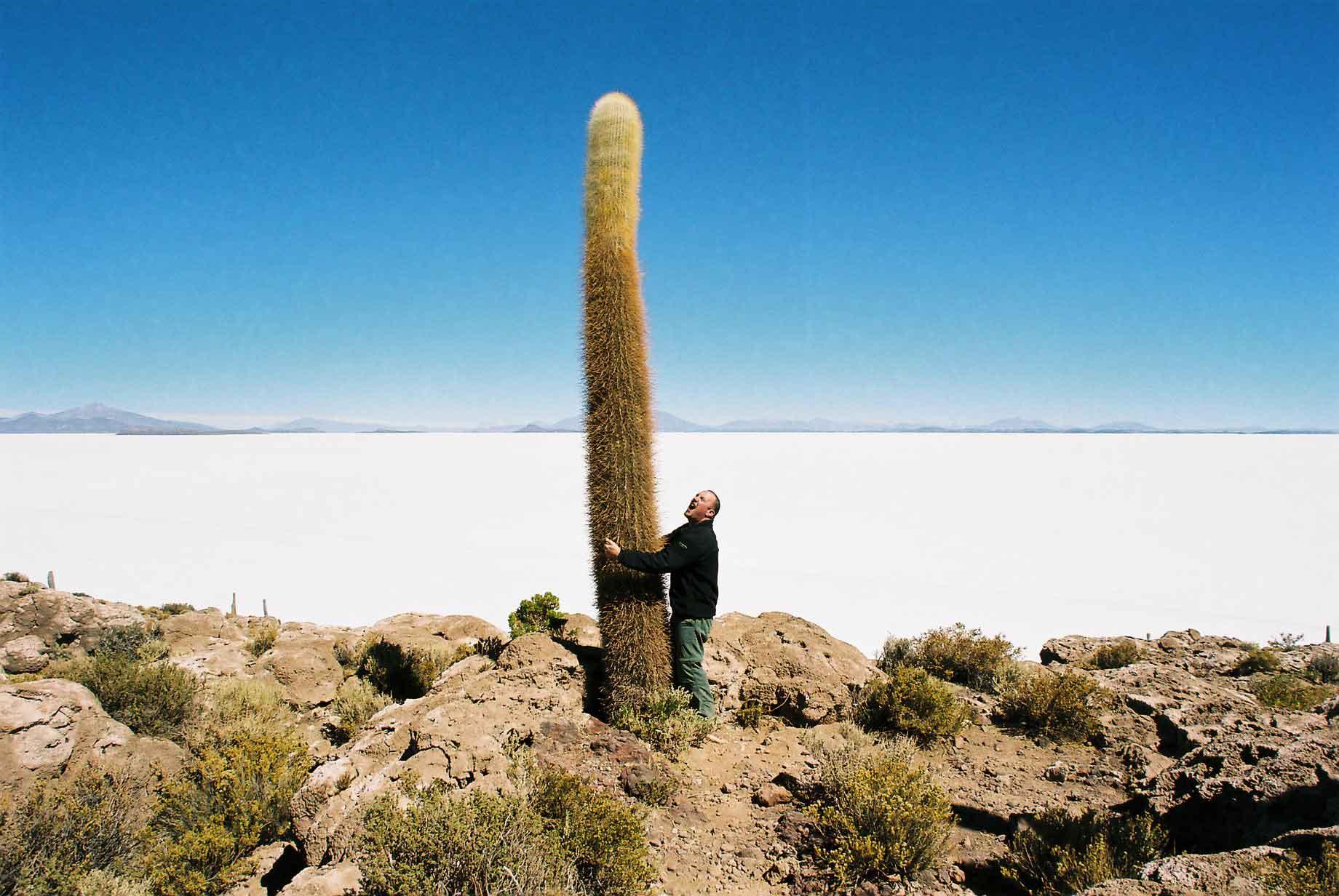
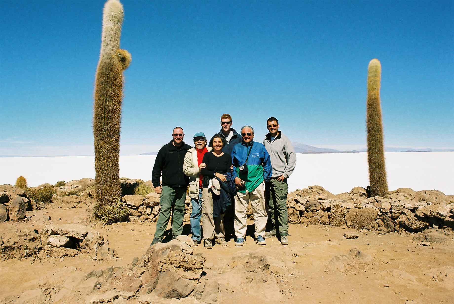
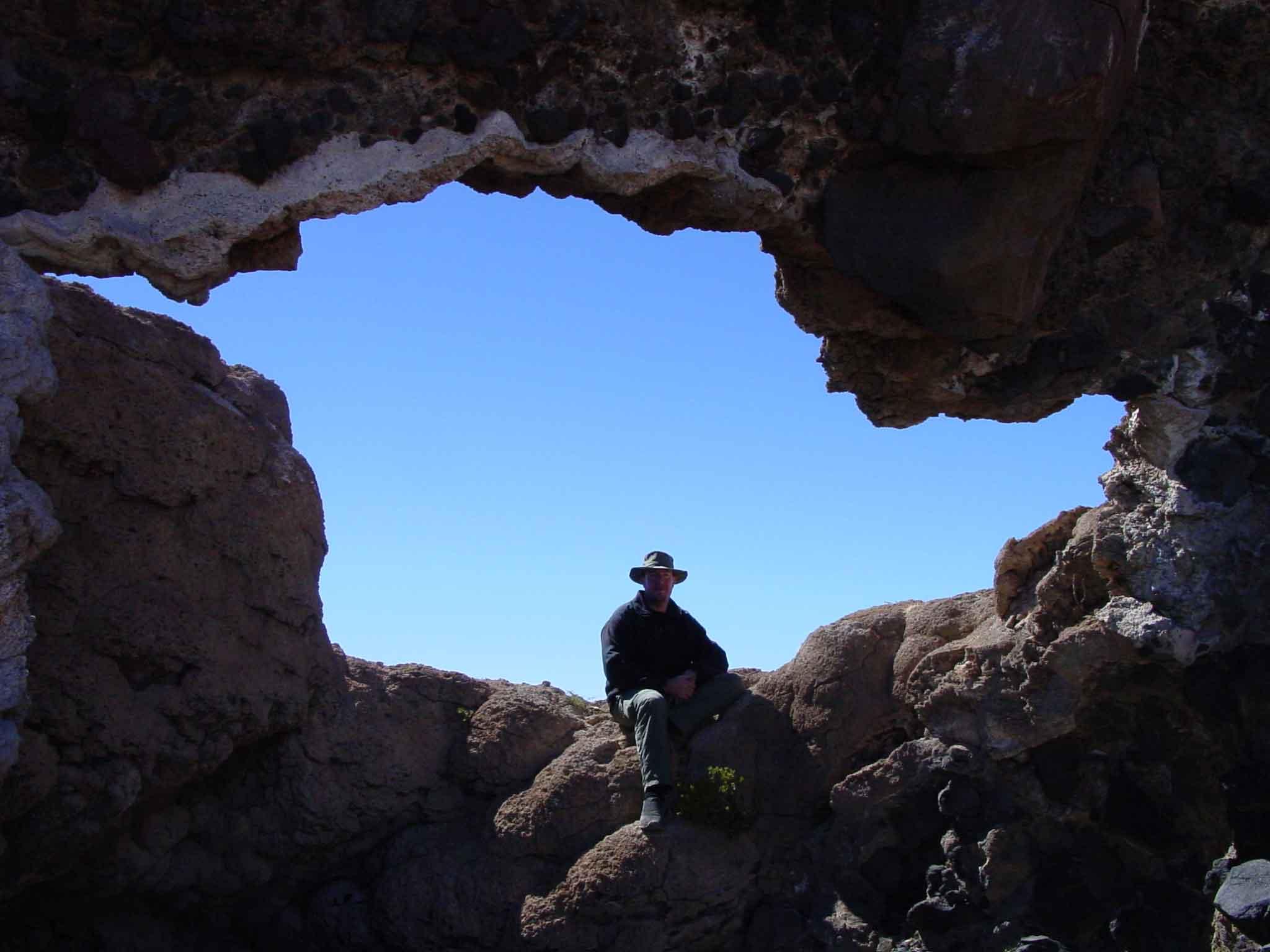
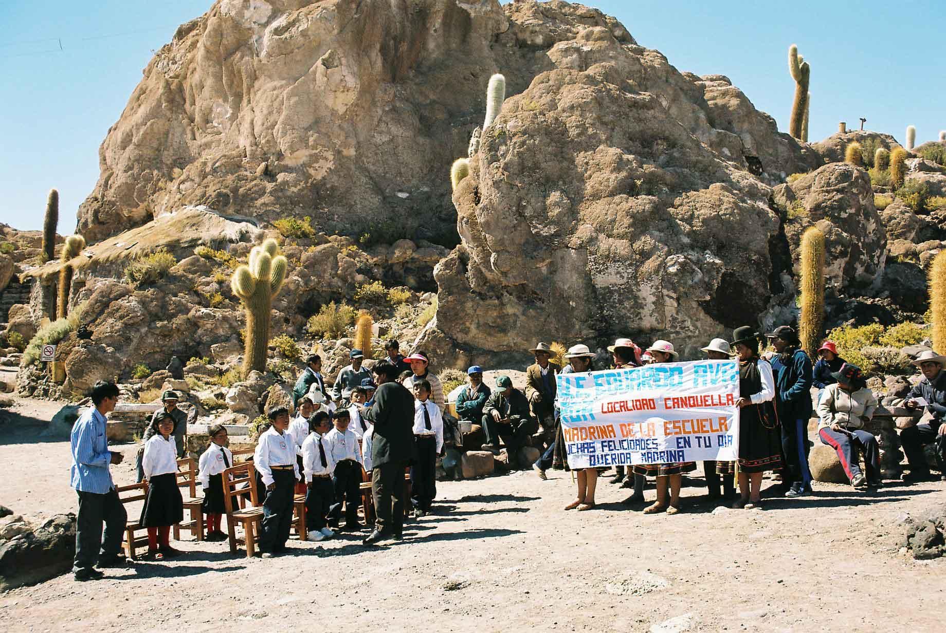
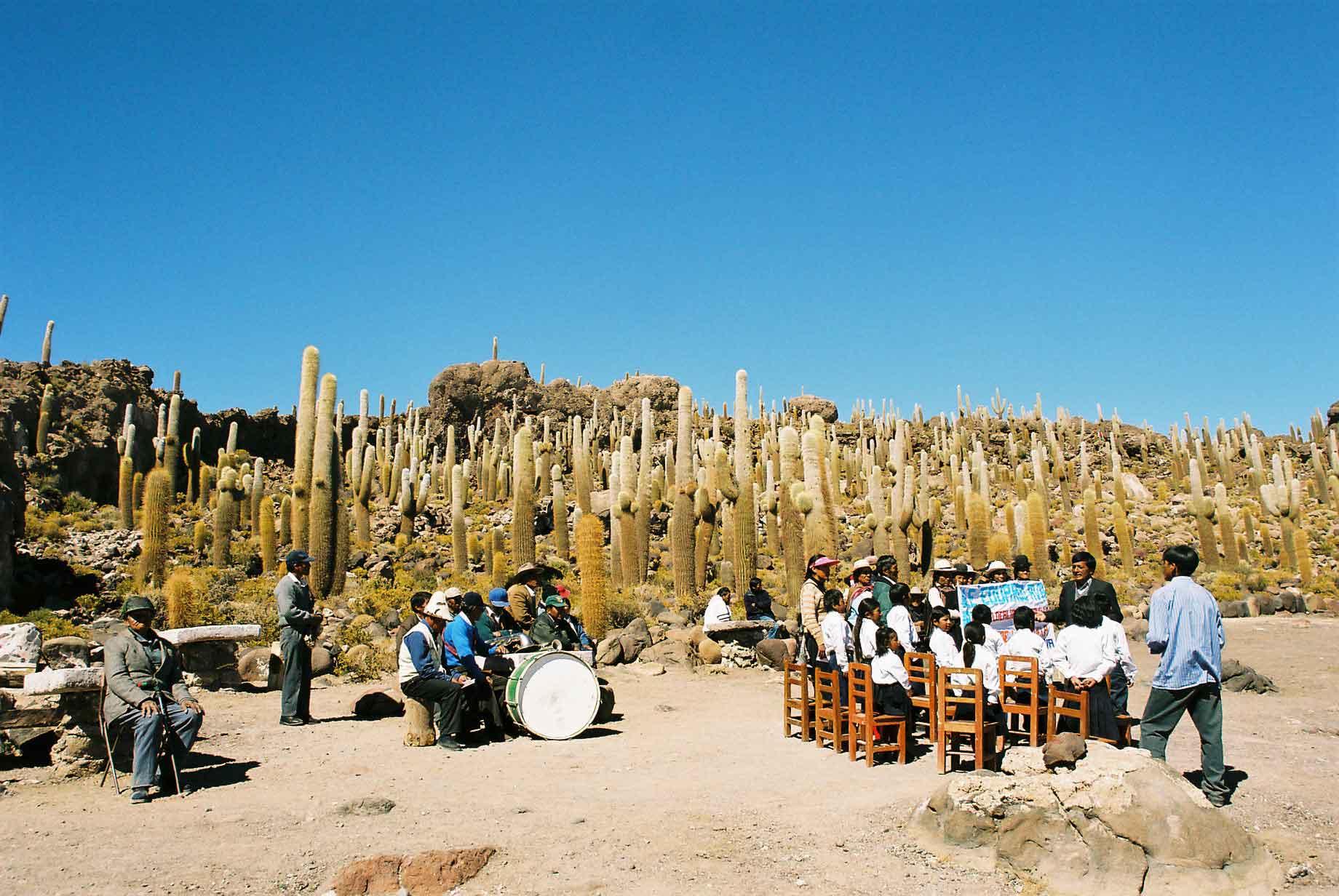
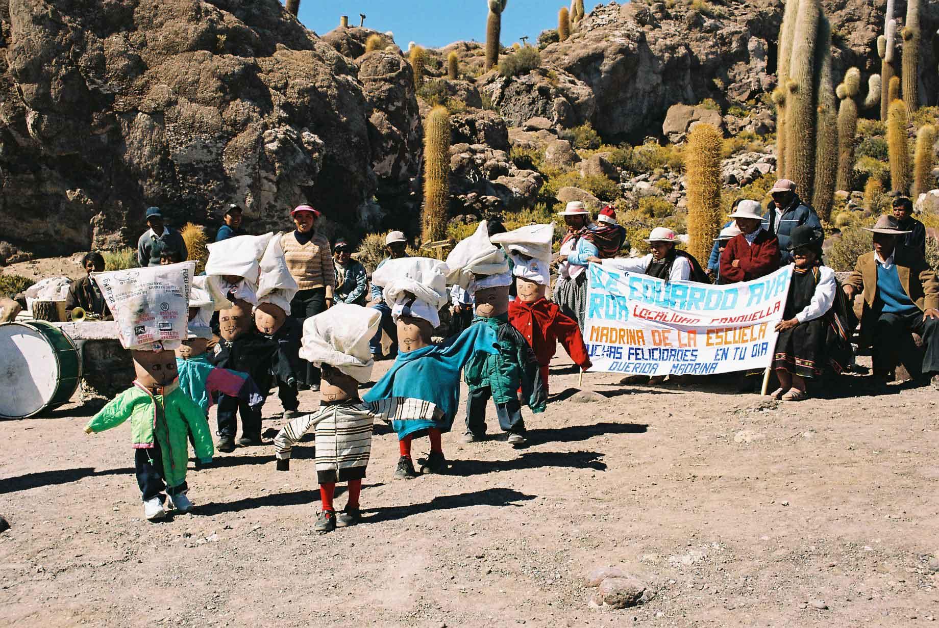
The Island of Incahuasi (Inca house) in the middle of the Salar is covered with some very large cacti and also affords some excellent views of the surrounding Salar. The first time I was there, a bloke was cycling across the Salar with his dog - obviously a nutter (photo 1). The fourth photo is the group with whom I did the tour the second time.
When on the island the second time, there was a school party that turned up to do some recitals, singing and other bits, with an entourage. The strangest bit was the belly dancing that must have been thought up by either some drug-addled unfortunate or a sick genius, I'm torn between the two. Either way we were all appreciatively amused.
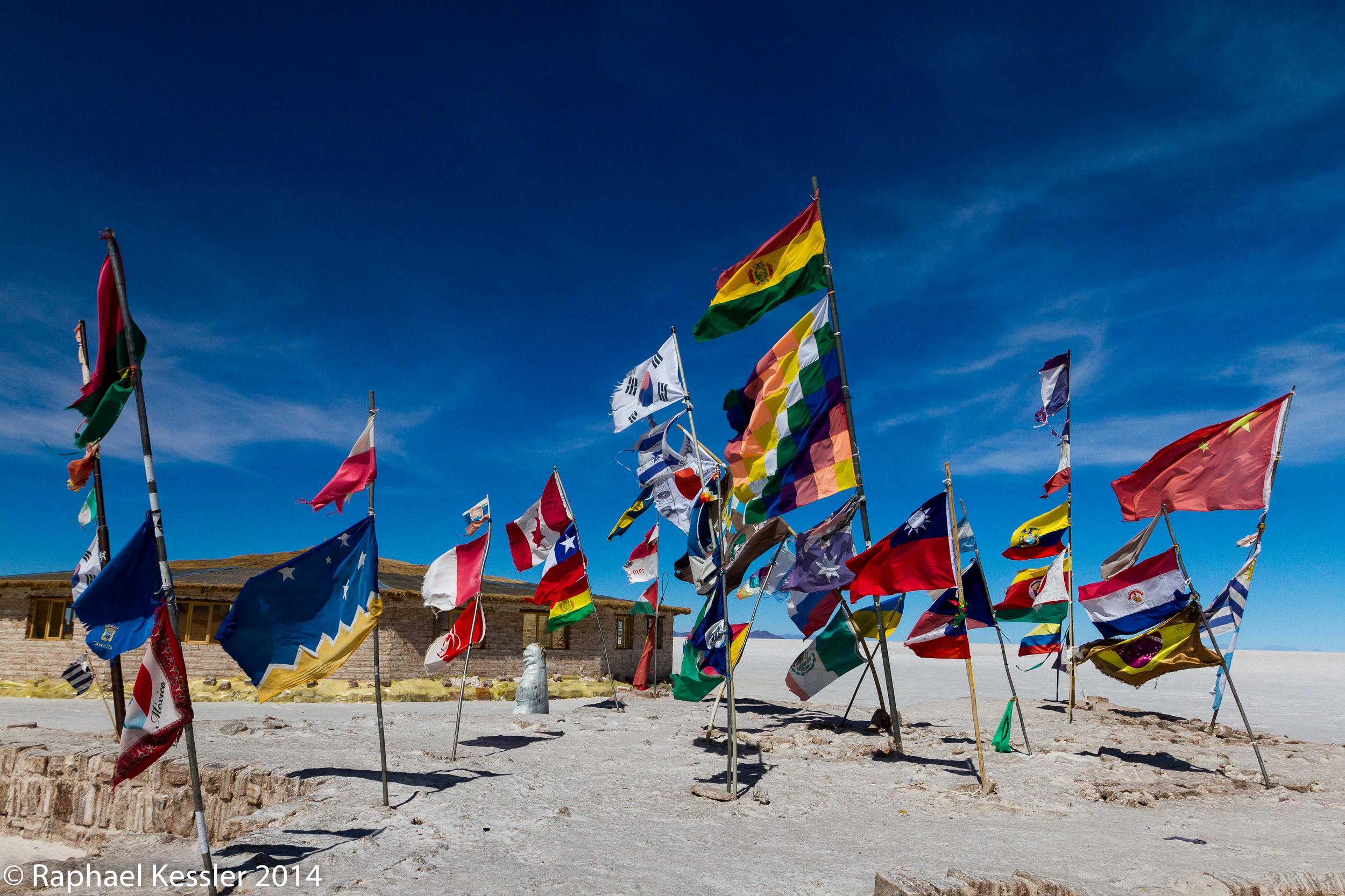
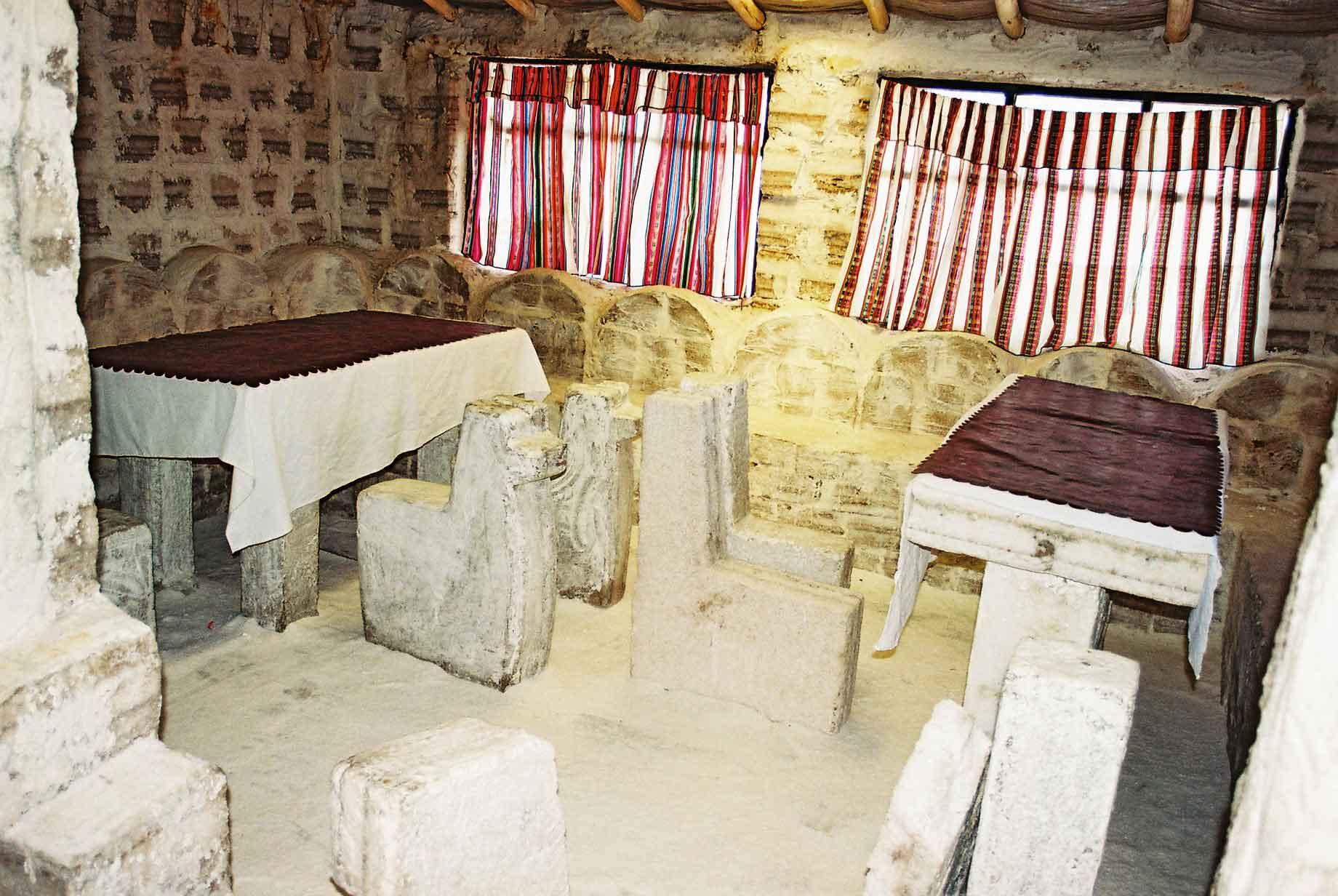
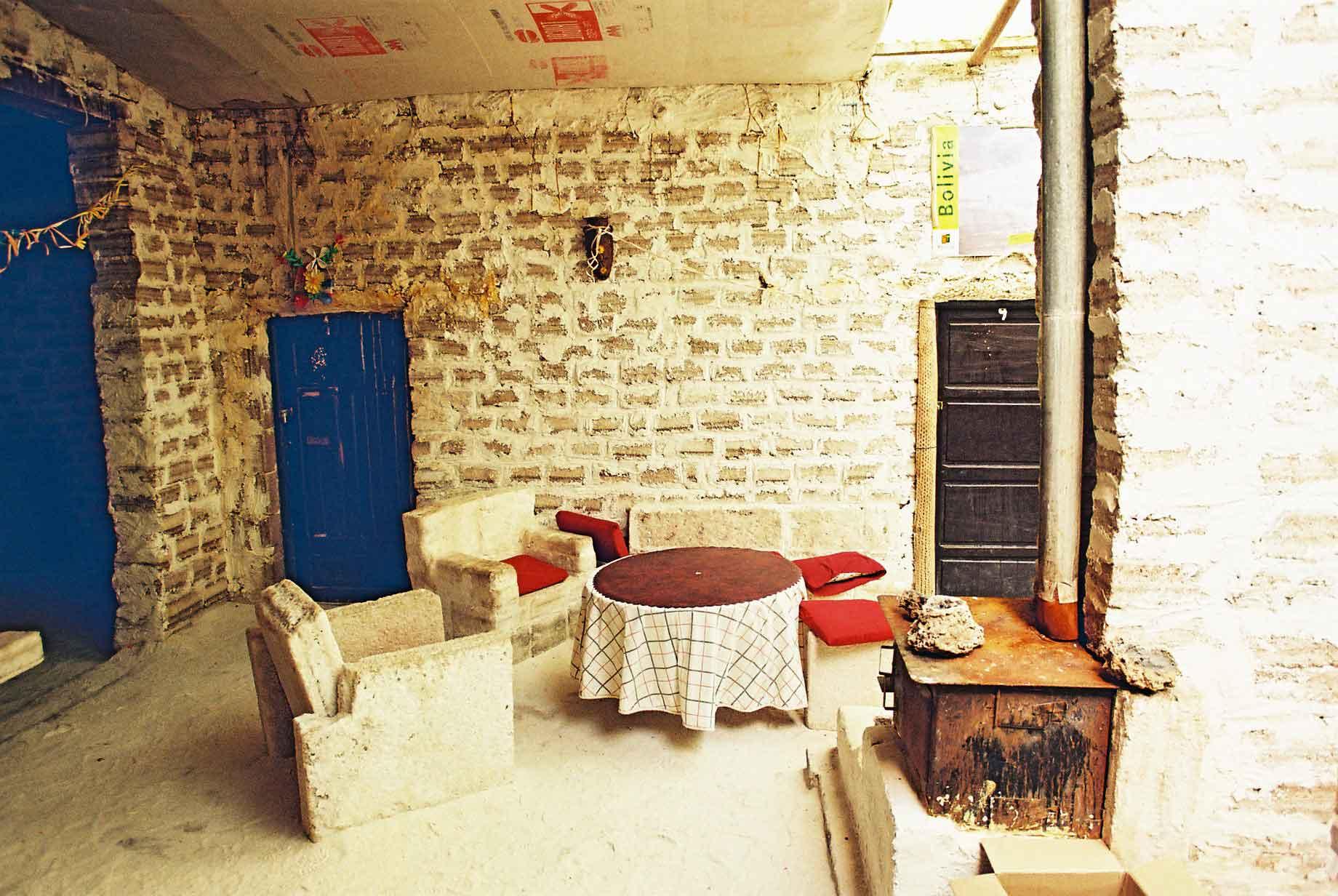
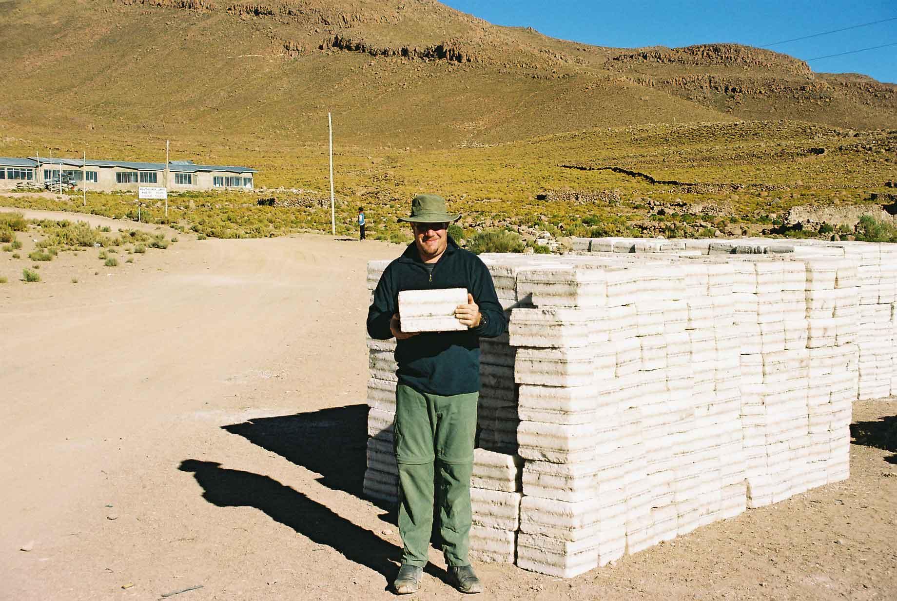
The Salt Hotel is exactly what it sounds like. It is a hotel made of salt bricks, with salt tables and chairs and salt beds. The ceiling however seemed to be made of cardboard. Salt is bloody heavy I found out when lifting a block that weighed probably twenty kilos (photo 4).
The Salar is the perfect place to do some fun photography as there is very little sense of perspective due to the flatness, clarity of the air and uniformity of the ground. In the magic hour one can take even odder pictures as with just a tiny bit of ground clearance one can eliminate all shadows on the ground (as shown in photos 2-4). The last photo is of the group I first did the tour with.
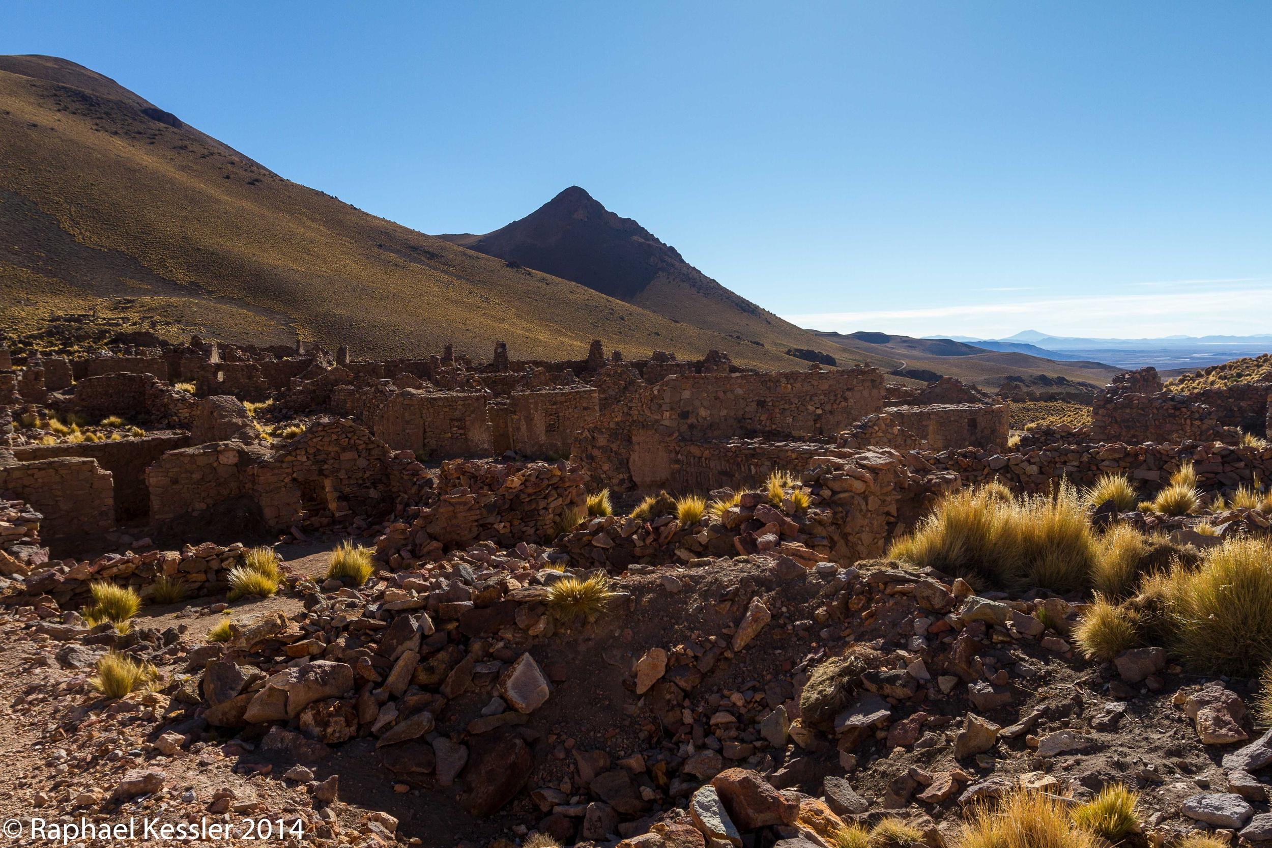
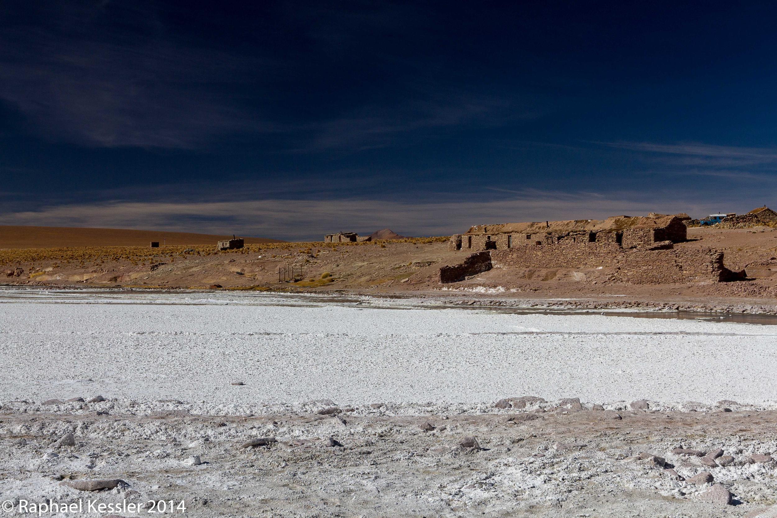
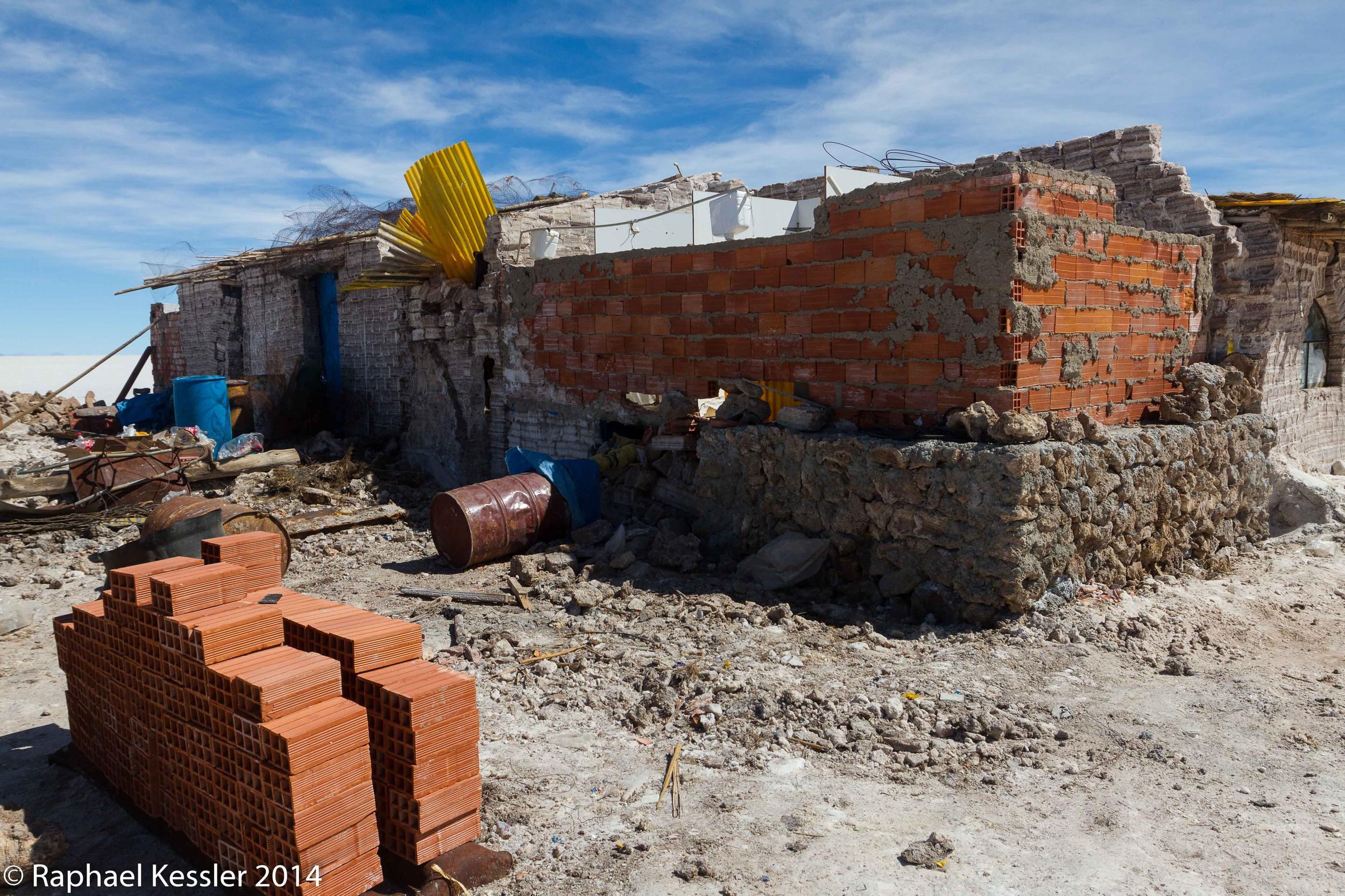
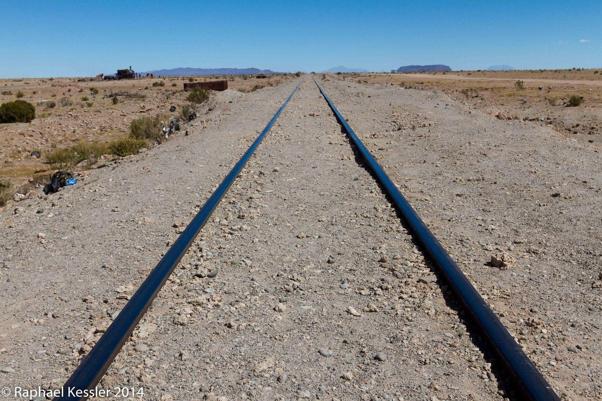
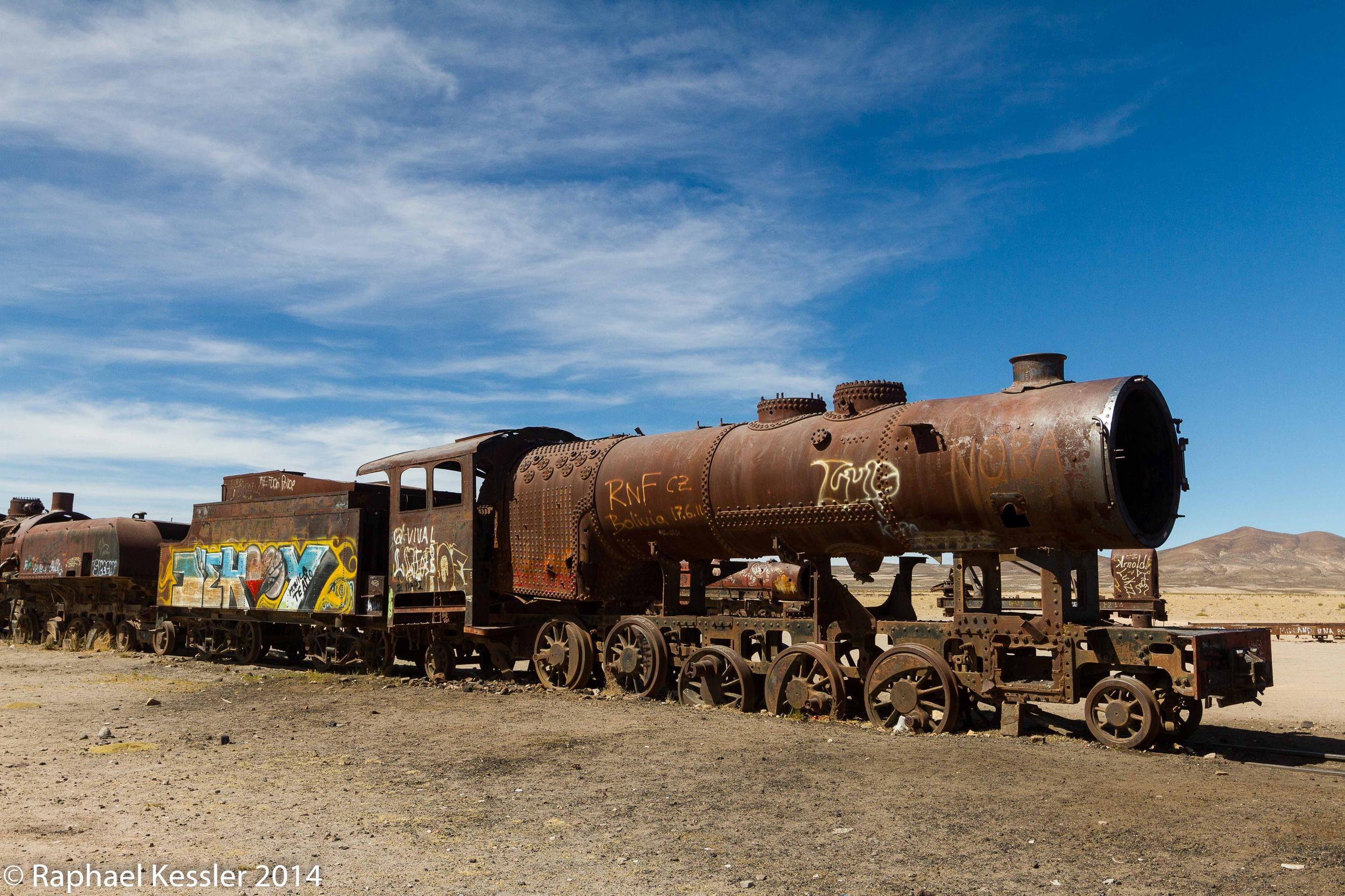
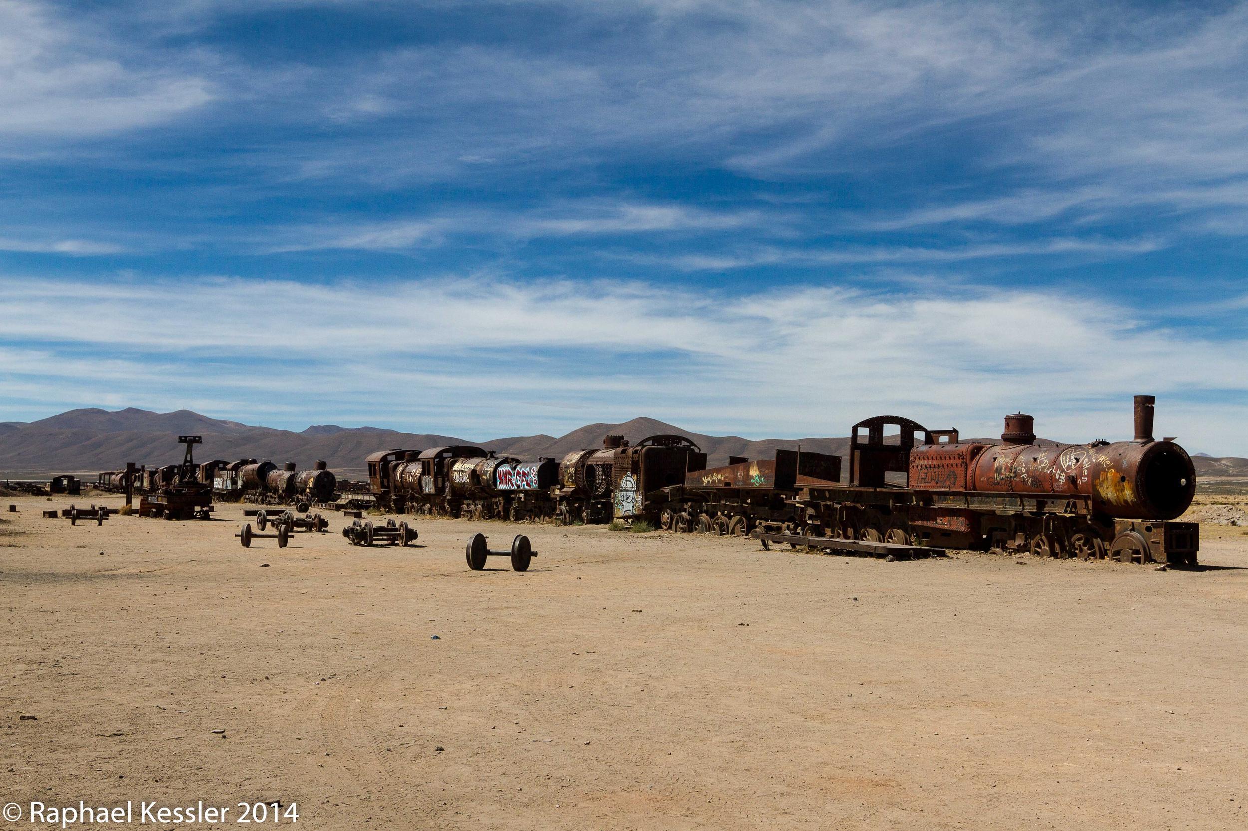
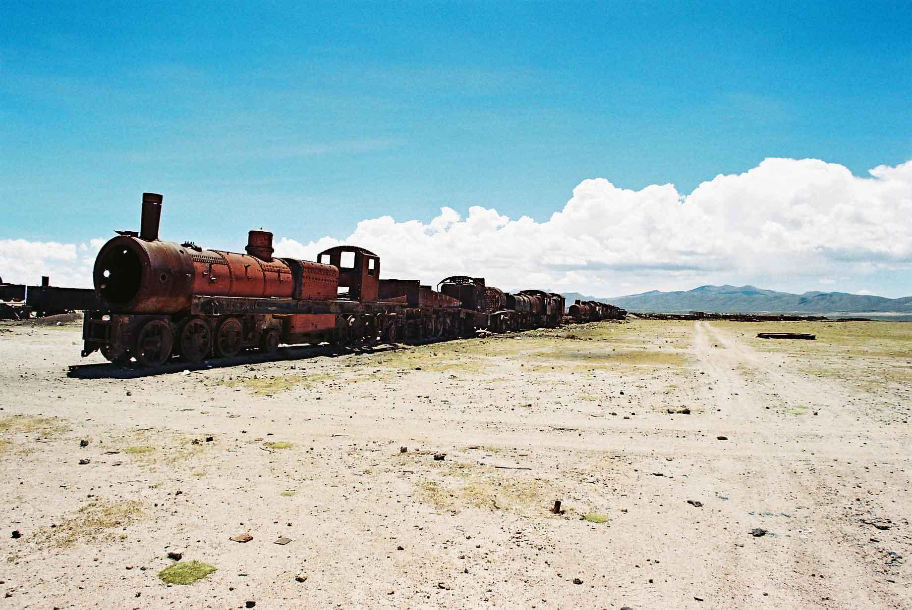
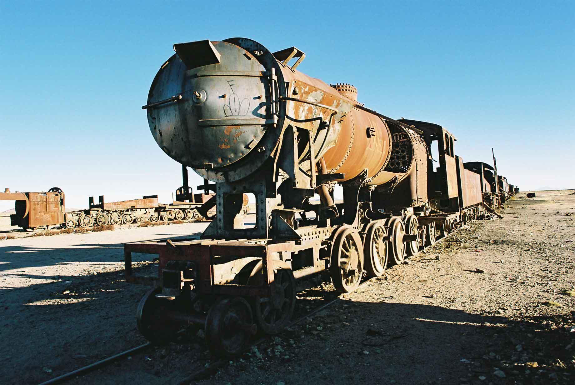
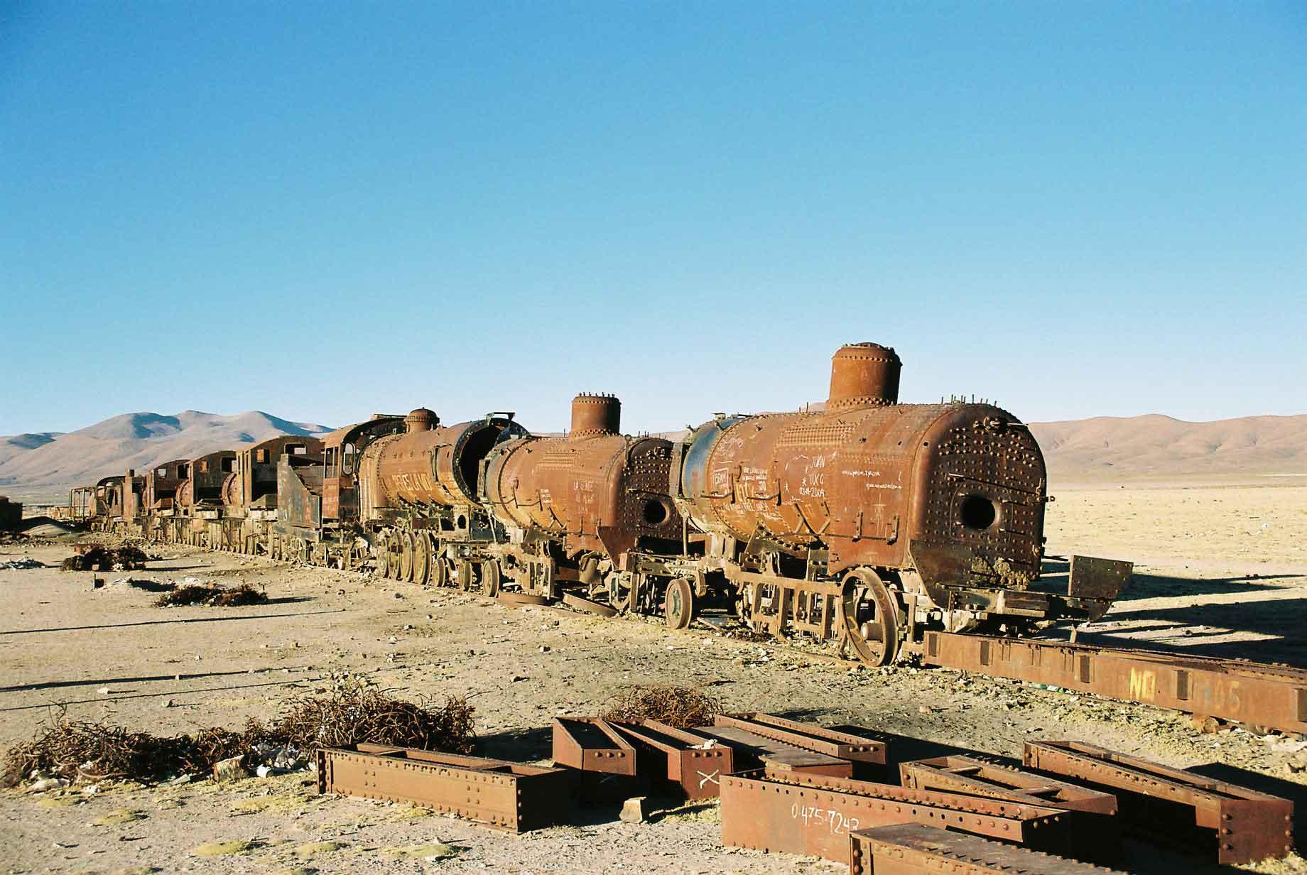
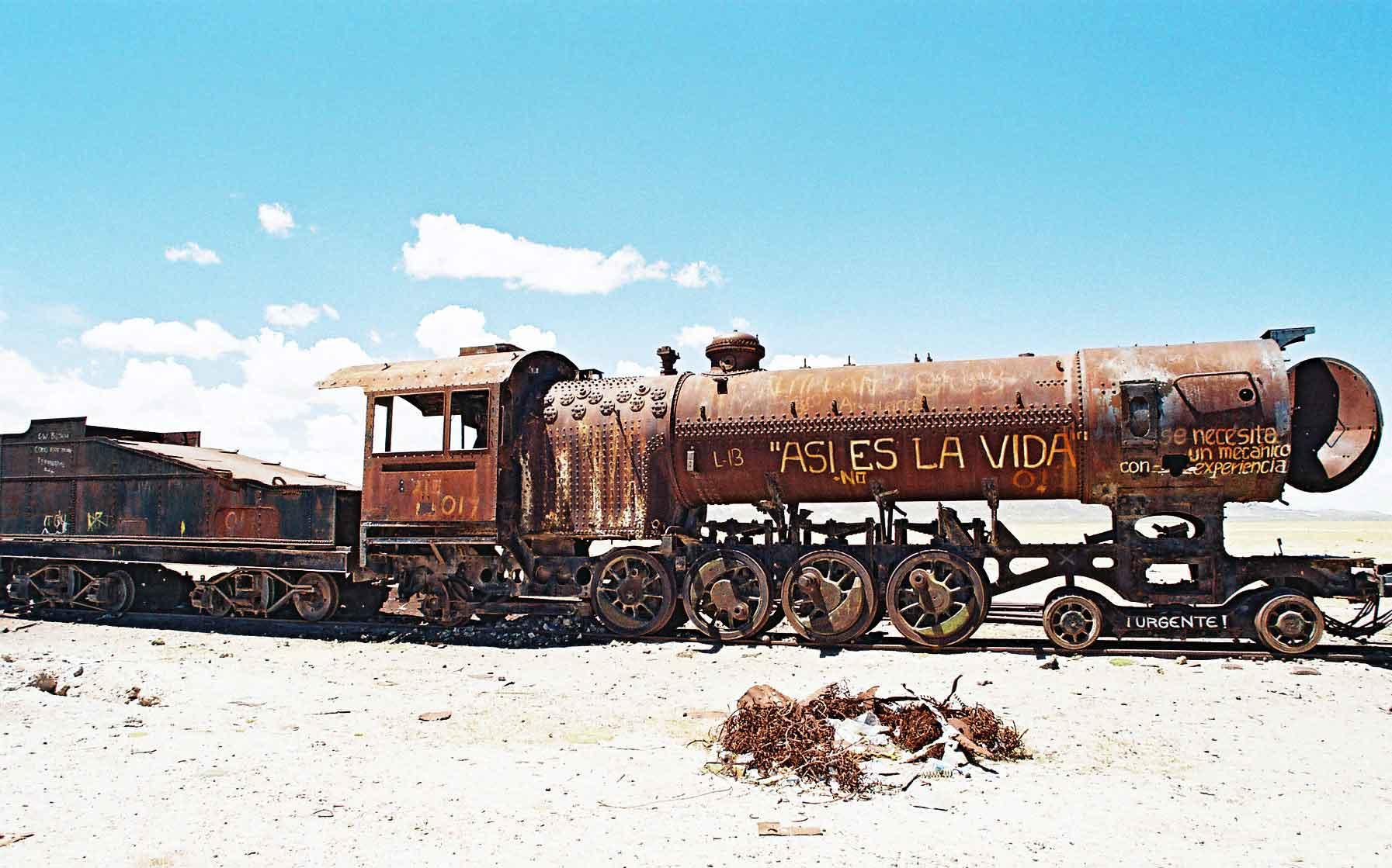
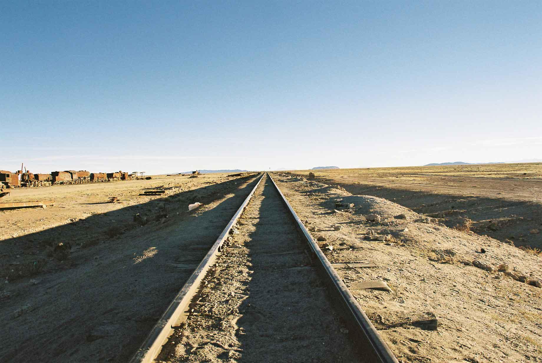
Uyuni, which has to be one of the least attractive towns I have visited, has only one visit-worthy attraction, not counting the Salar which is some way away, that is the train cemetery. This is where the British built locomotives have been put to rest, after being in service for one hundred and sixty years, up until the 1980's. There are apparently plans to restore the trains and make it into a kind of train museum.
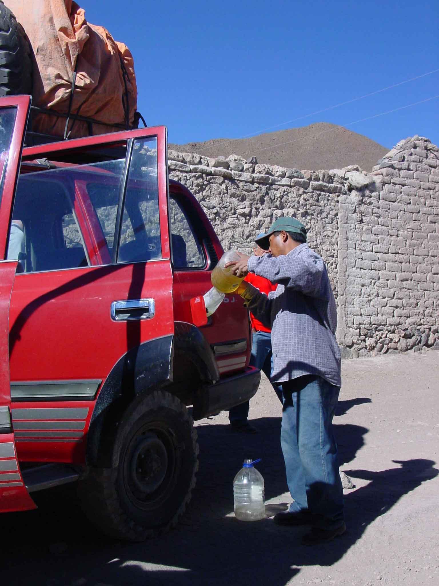
In Bolivia the transportation sometimes has to rely on impromptu petrol stations.
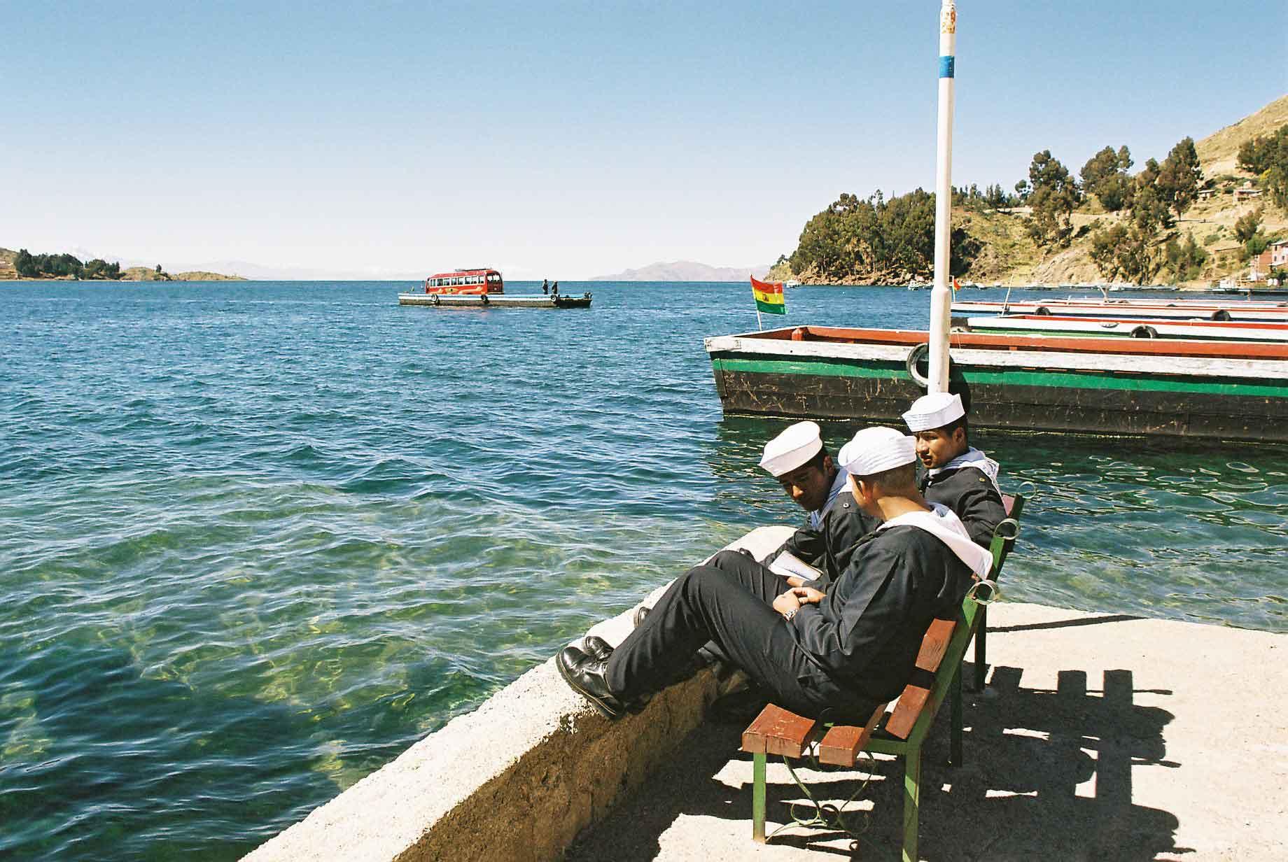
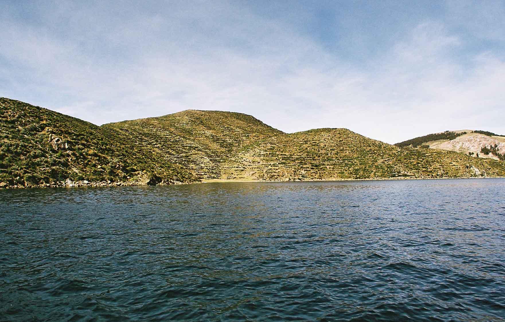
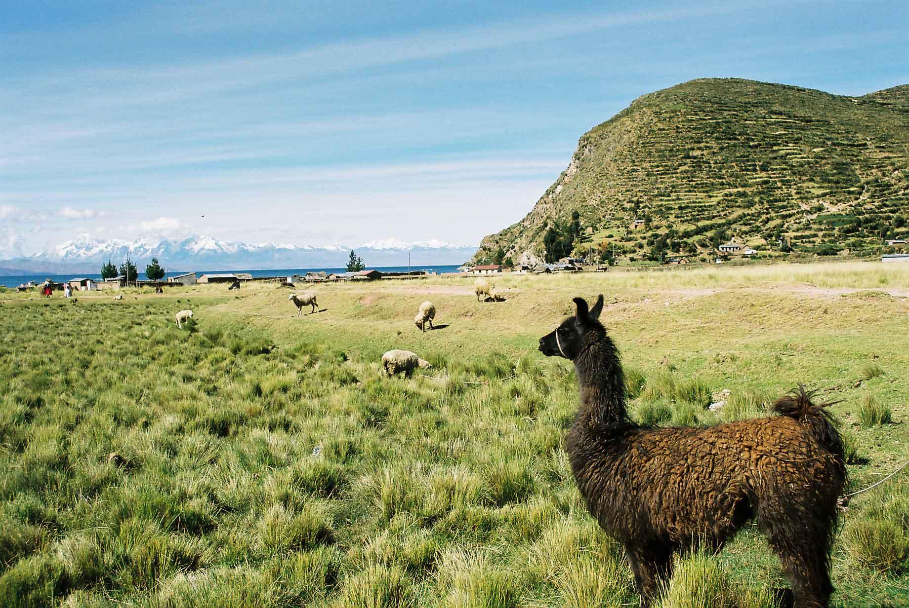
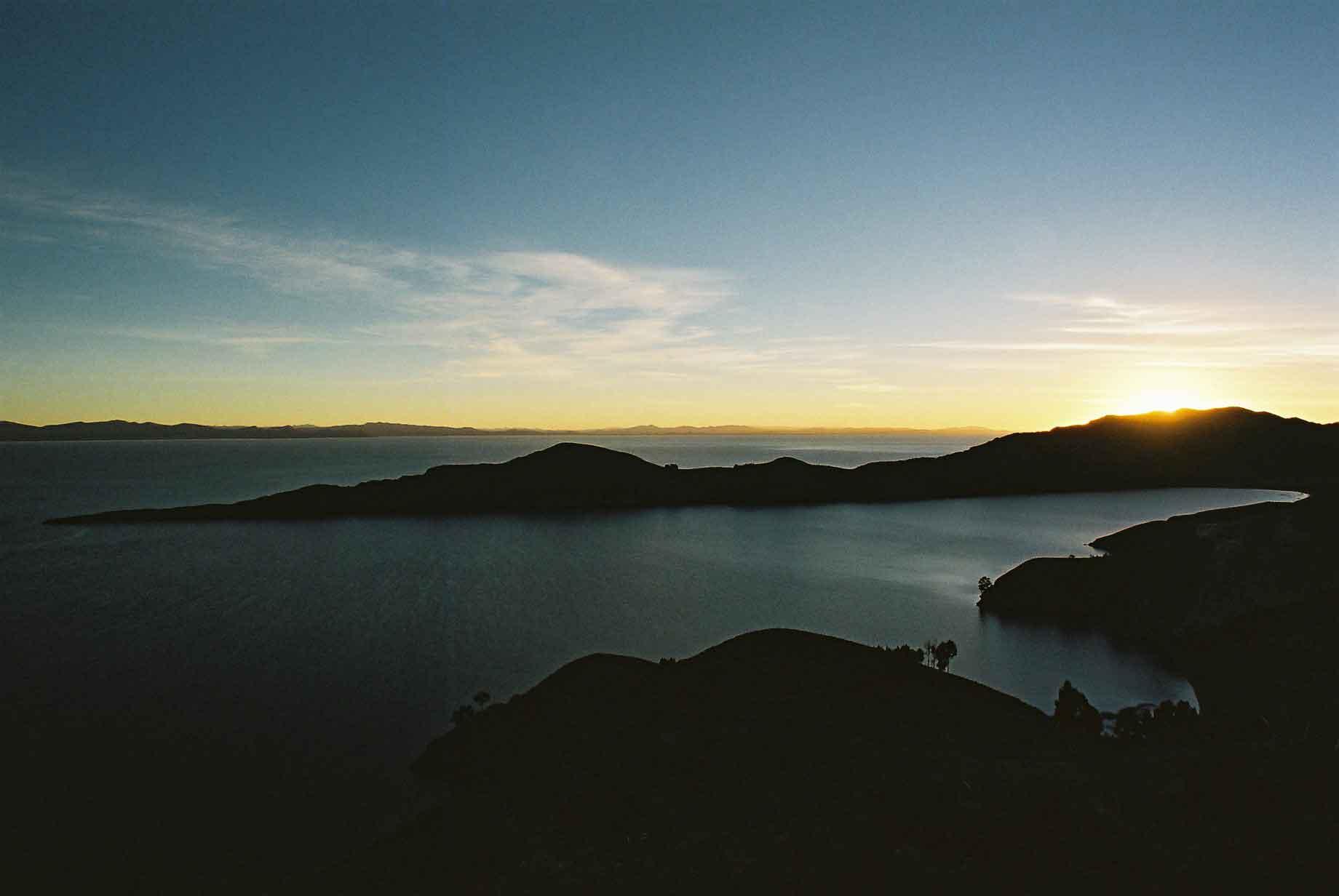
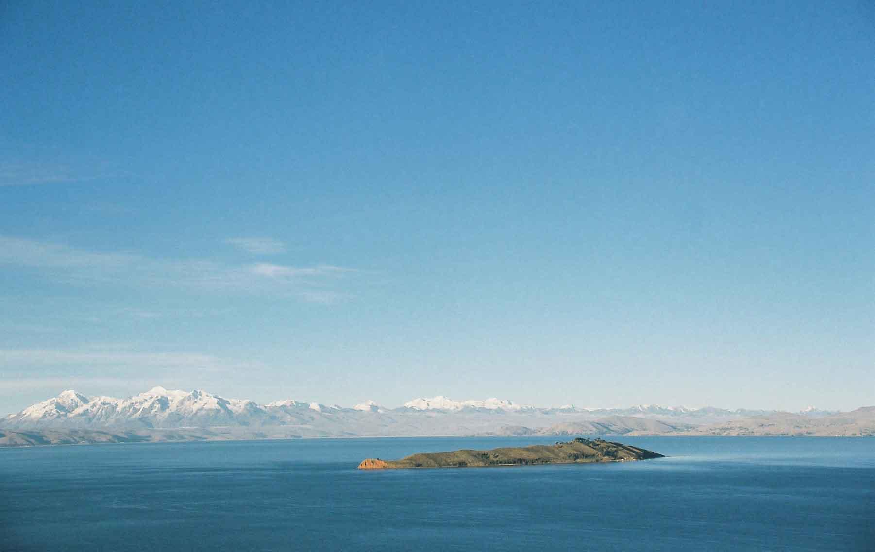
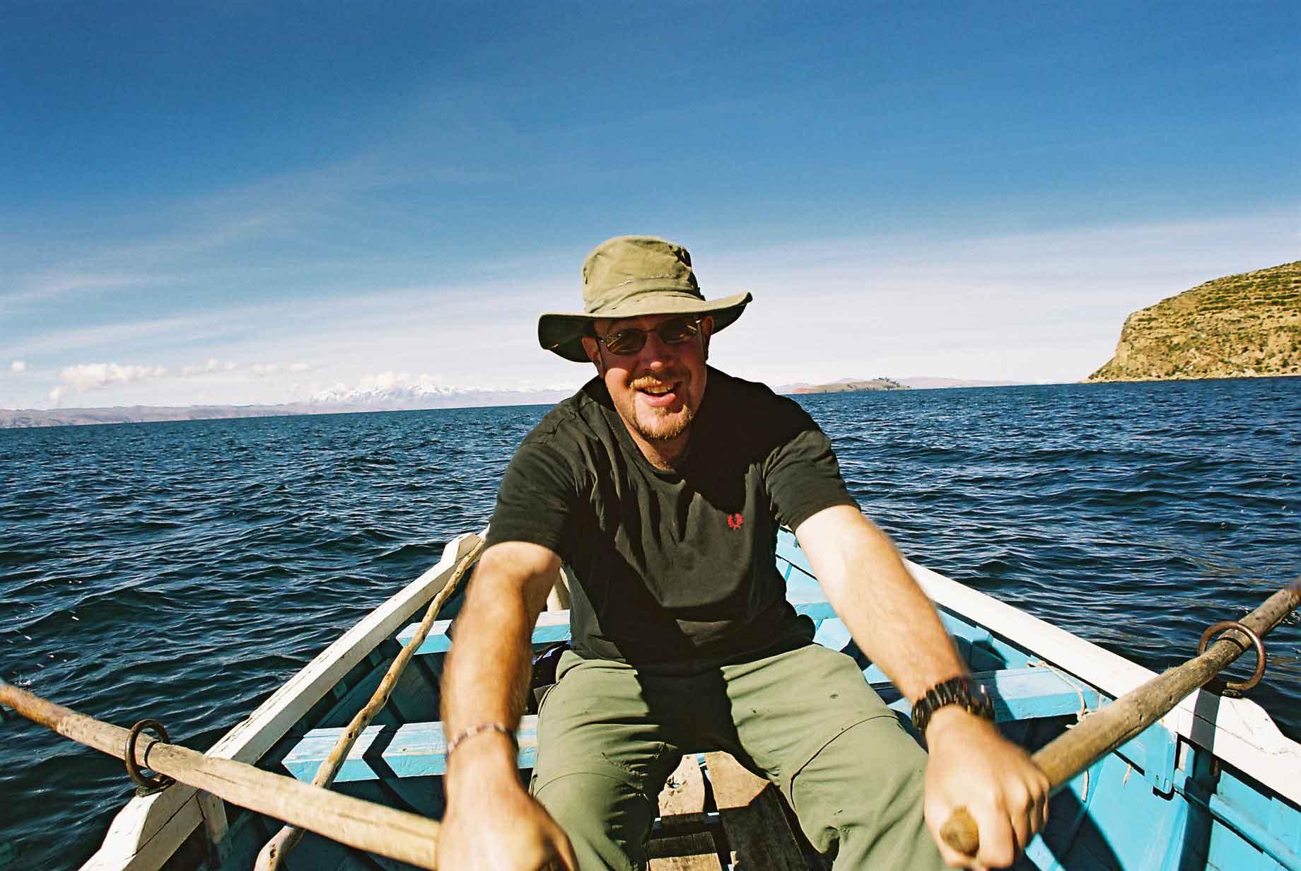
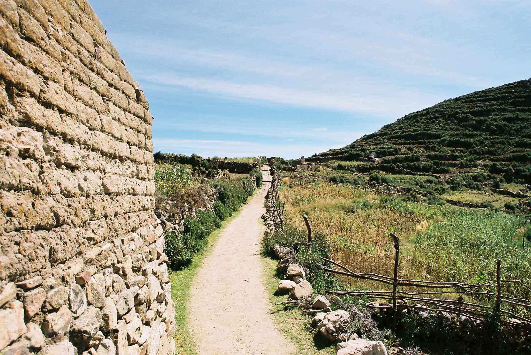
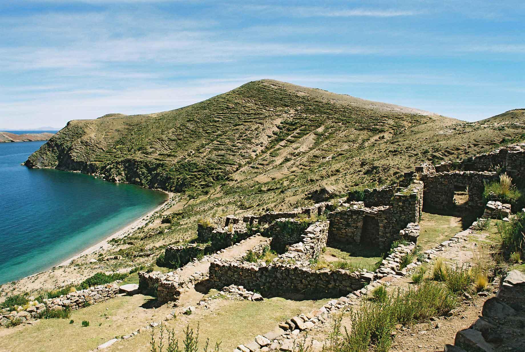
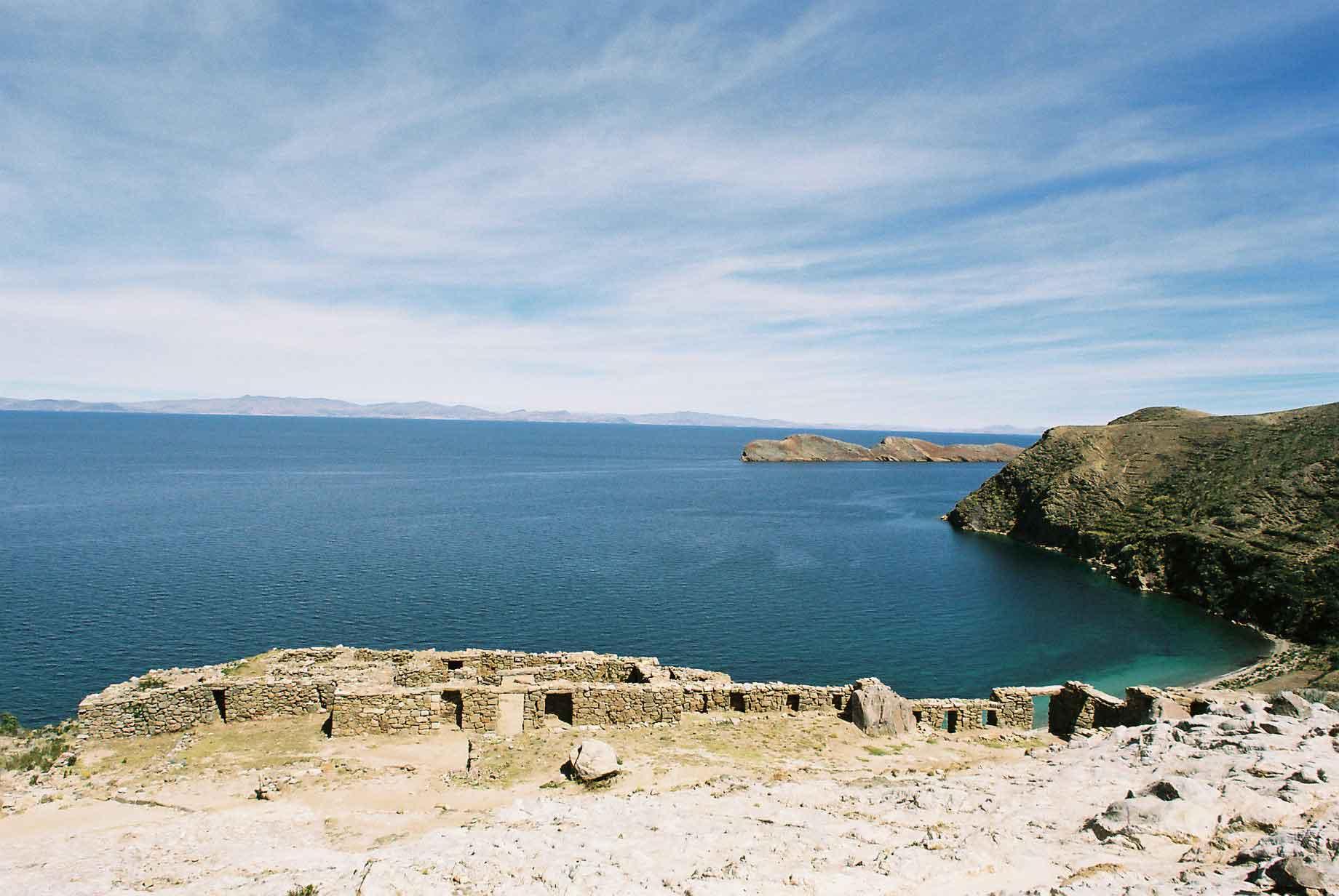
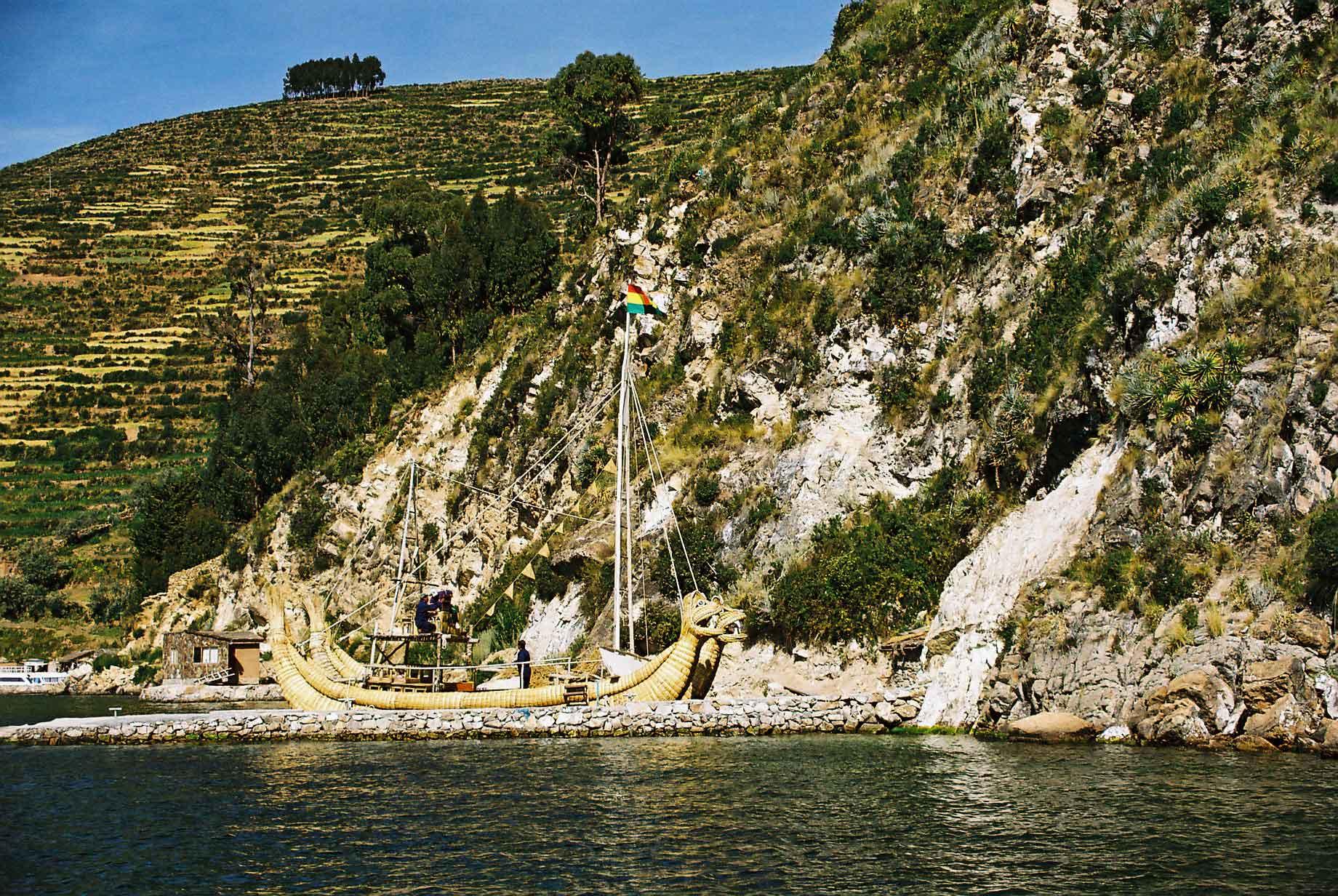
Lake Titicaca is supposedly the highest navigable lake in the world. Nobody has been able to enlighten me as to what qualifies as a navigable lake, as I have seen and know of lakes that are higher and could easily have a boat put on them. Titicaca is certainly magnificent with mountains ringing it and Mt. Illimani visible despite it being more than a hundred metres away. Titicaca is also home to the Bolivian Navy, why they need it in a landlocked country is anybody's guess (photo 1). The Isla del Sol (photos 2-4), is the largest island in the lake and is a nice quiet place to walk about, although the altitude can make the walking hard work. Much of it is terraced for agricultural purposes (photo 2). That was why we decided to take a short cut across the water for the last part back, although rowing wasn't easy either (photo ). The Isla de la Luna at times looked like a Crocodile's head coming out of the water (photo 5). There are also some pre-Colombian ruins on the Isla del Sol (photos 7-9). There was a Tortora reed boat for tourists to go around on, made in a vaguely similar style to how it was done in the past.
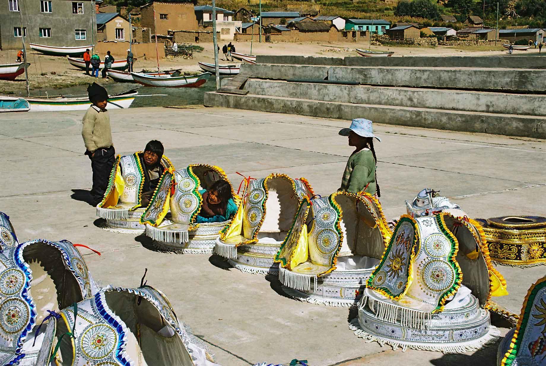
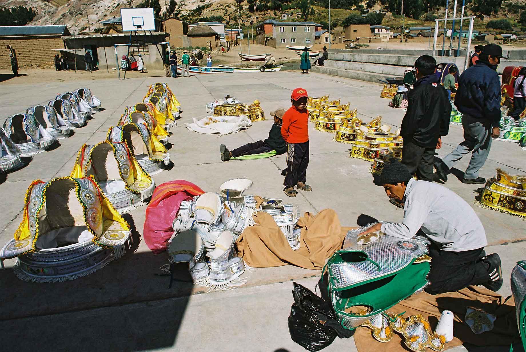
Whilst on the Isla del Sol we came across a costume make for the local representation at the Oruro carnival, already hard at work despite the carnival being nine months away.
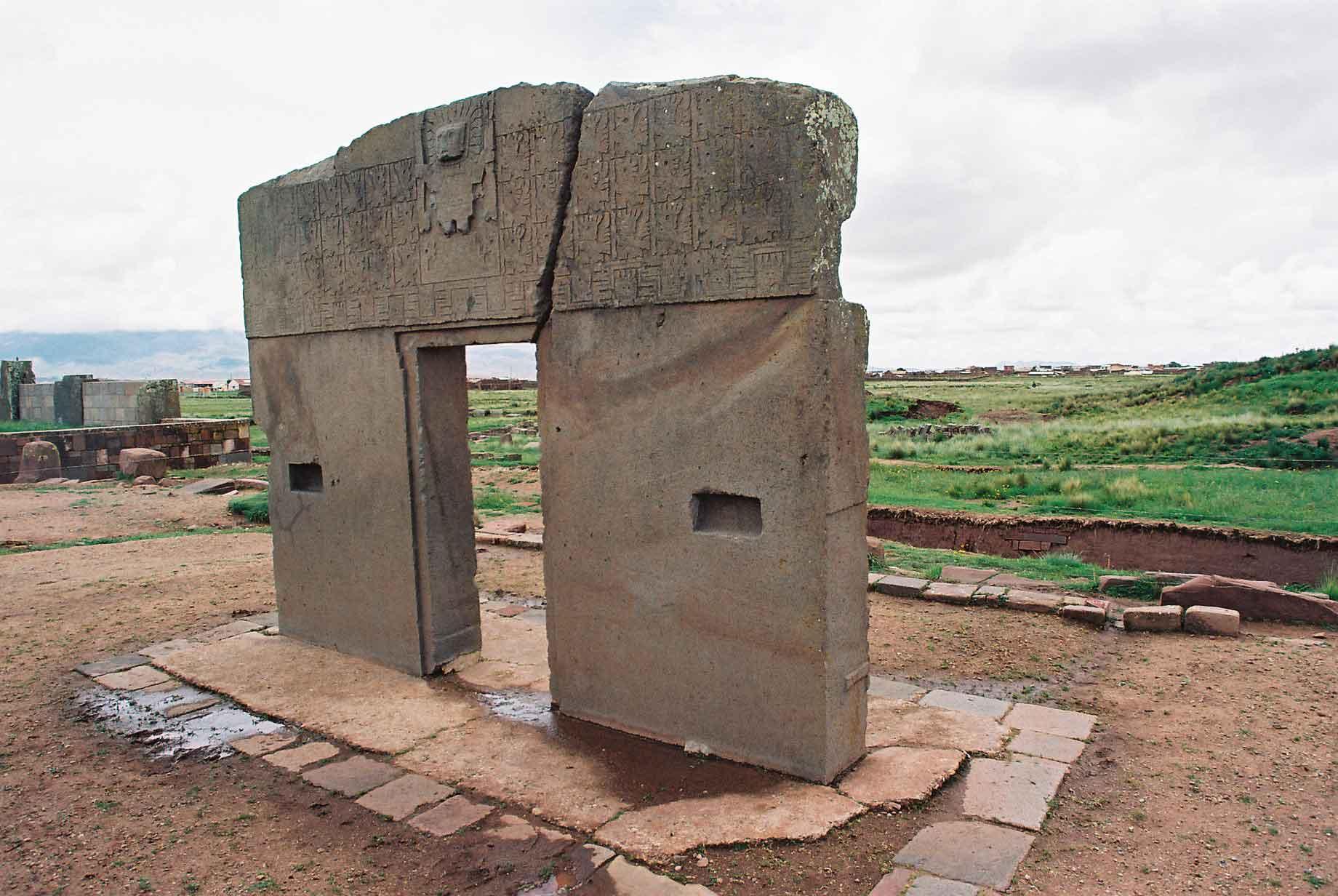
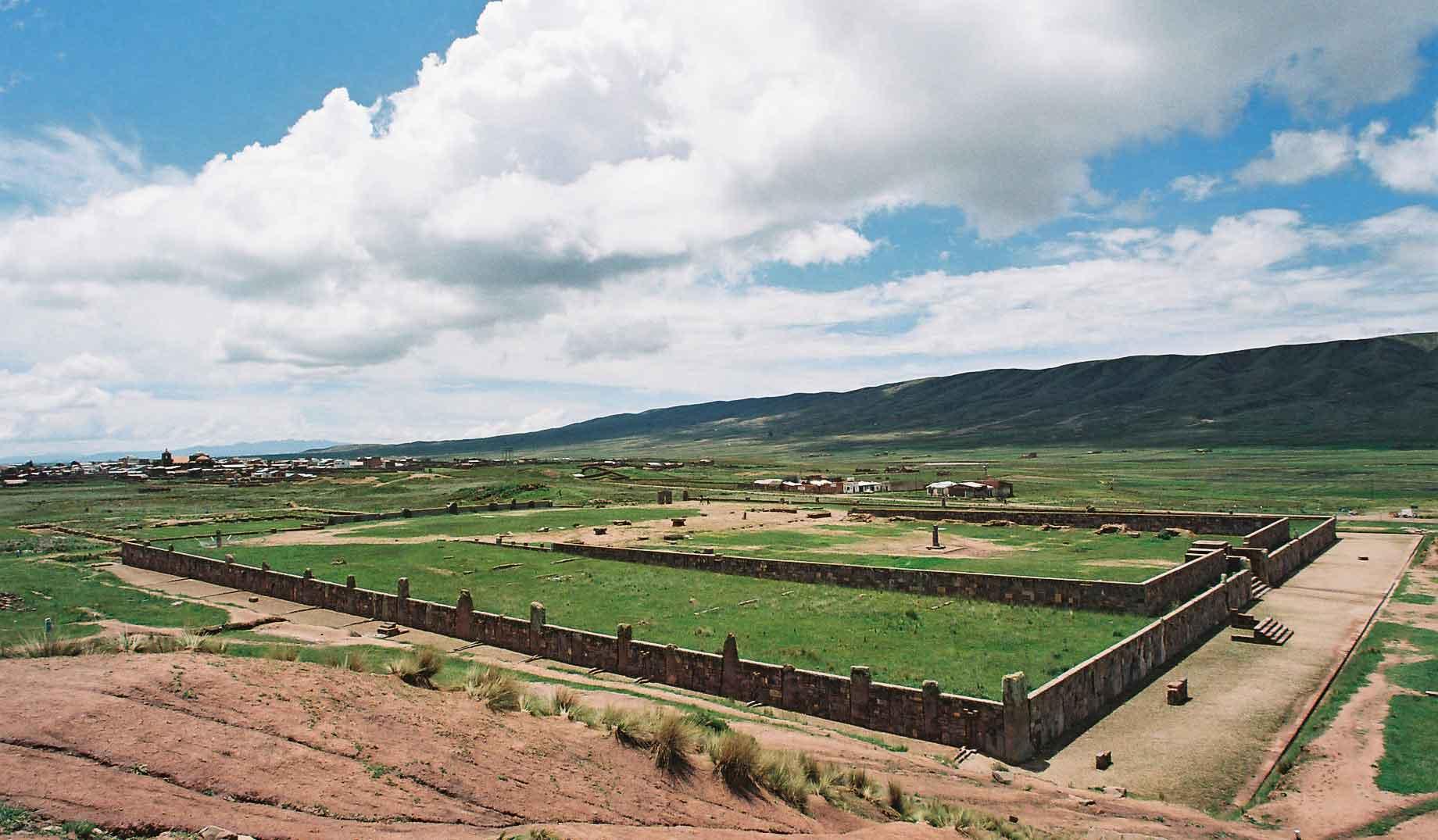
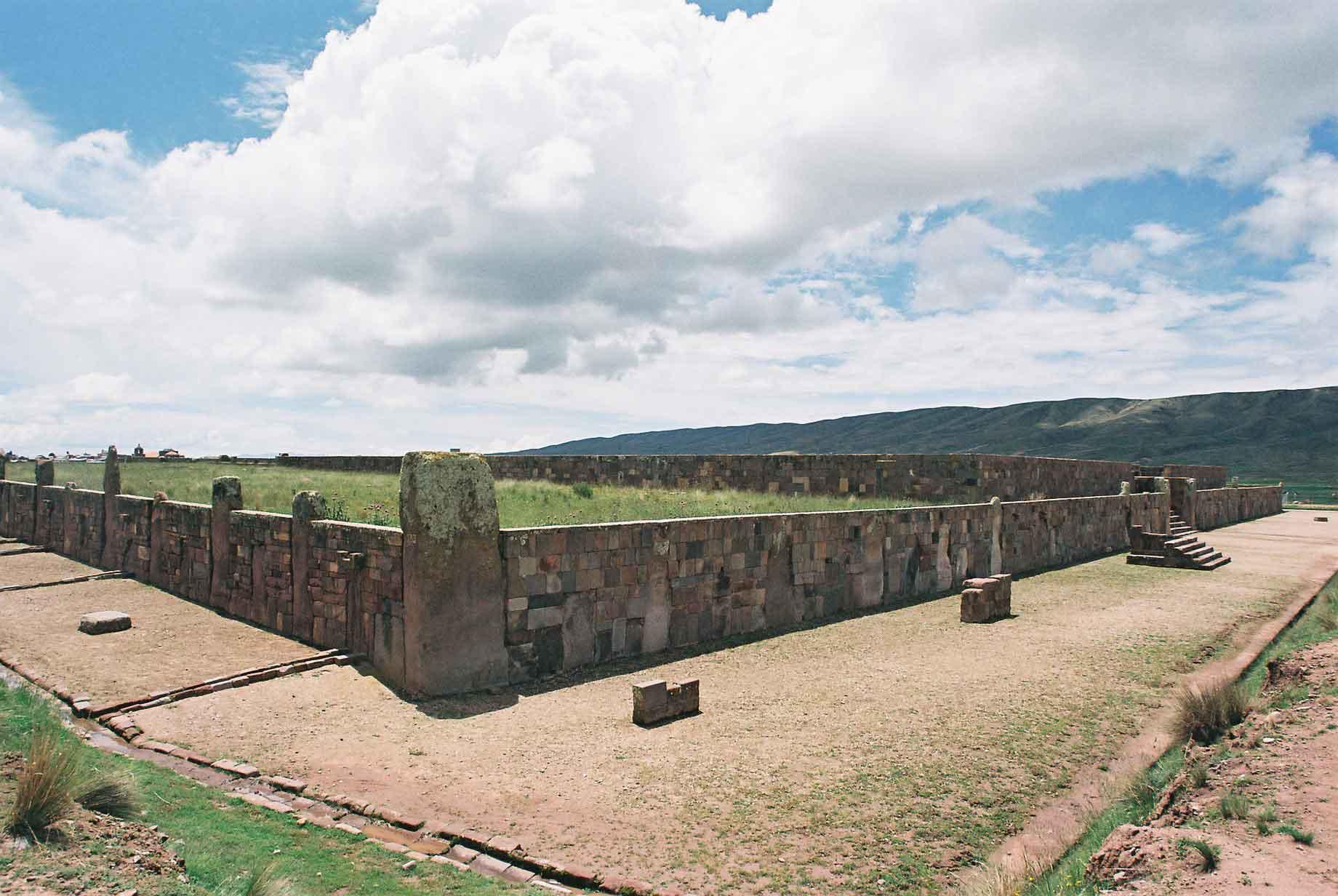
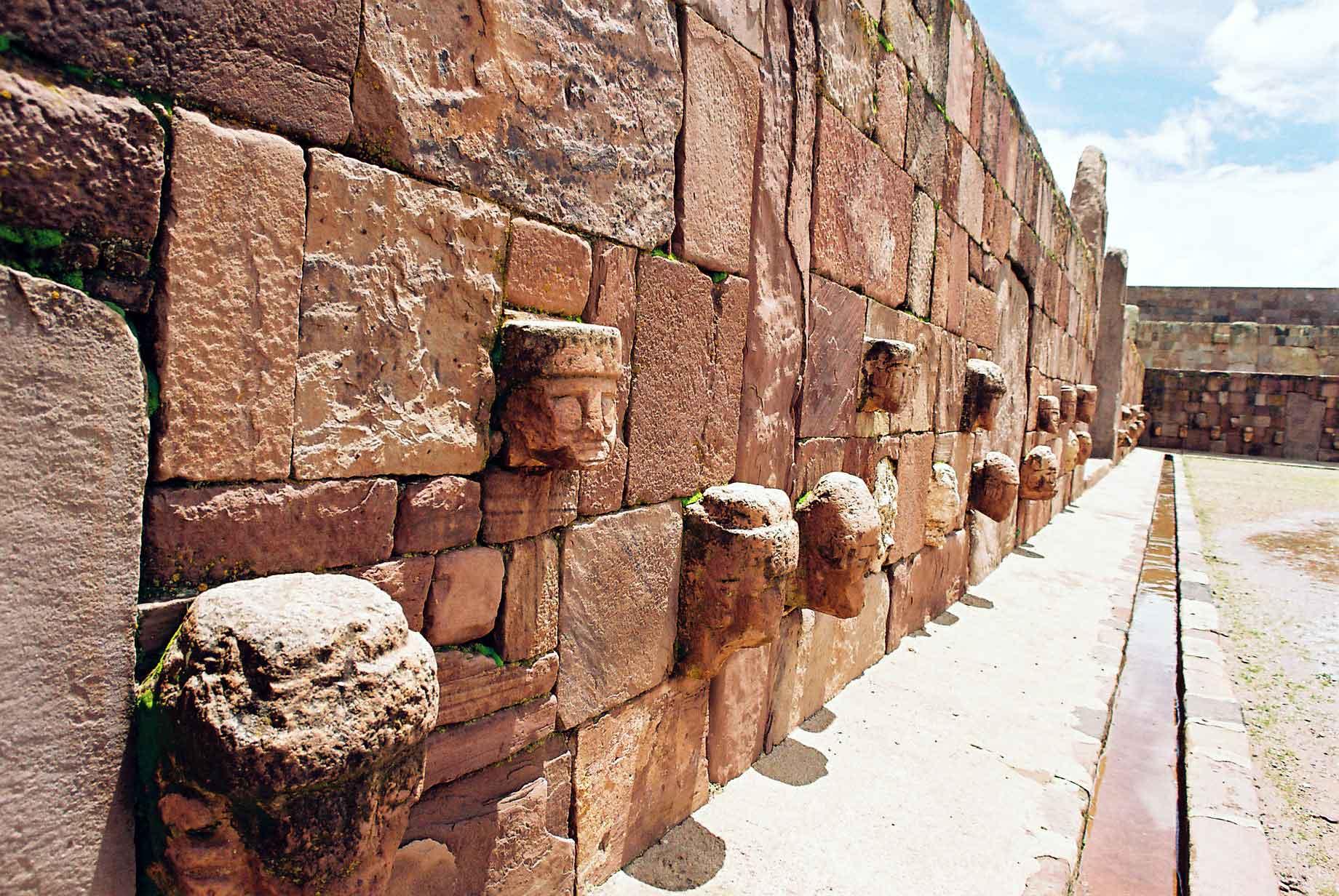
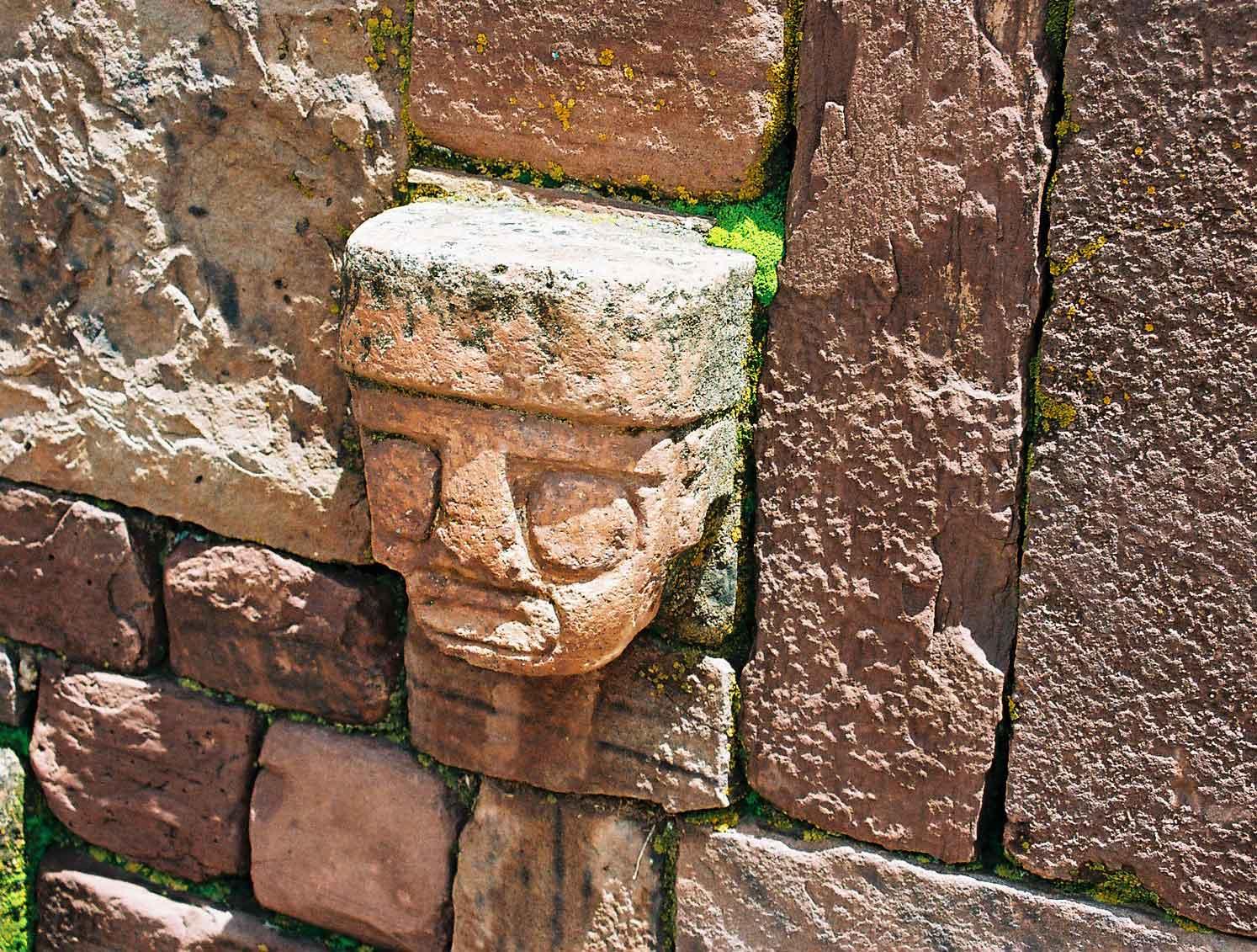
Near Lake Titicaca are the remains of the Tihuanacu civilisation. Previously thought to be a minor group historically, it is now recognised that two-thousand years ago or more, these people had one of the most impressive empires the Americas ever saw. Stretching from what is modern Colombia to Argentina. The capital was set in one of the least forgiving natural environments, yet the people developed agricultural techniques of raised fields, that enabled them to create a food surplus despite the hundreds of thousands of people that lived in the area. Nowadays the area only supports about seven thousand people in abject poverty and the technology has been lost. The gateway (photo 1) is the symbol of the site (photos 2-4). Along the interior walls are some nice carved heads (photos 5 & 6). The views of the surrounding mountains are very nice (photo 7).
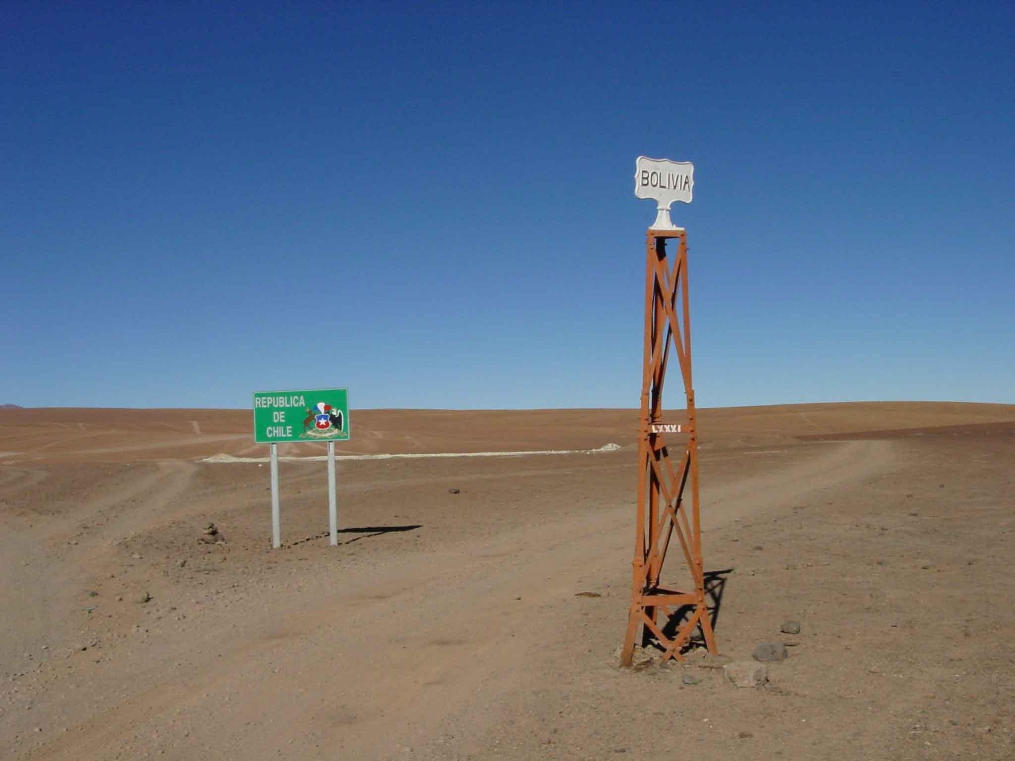
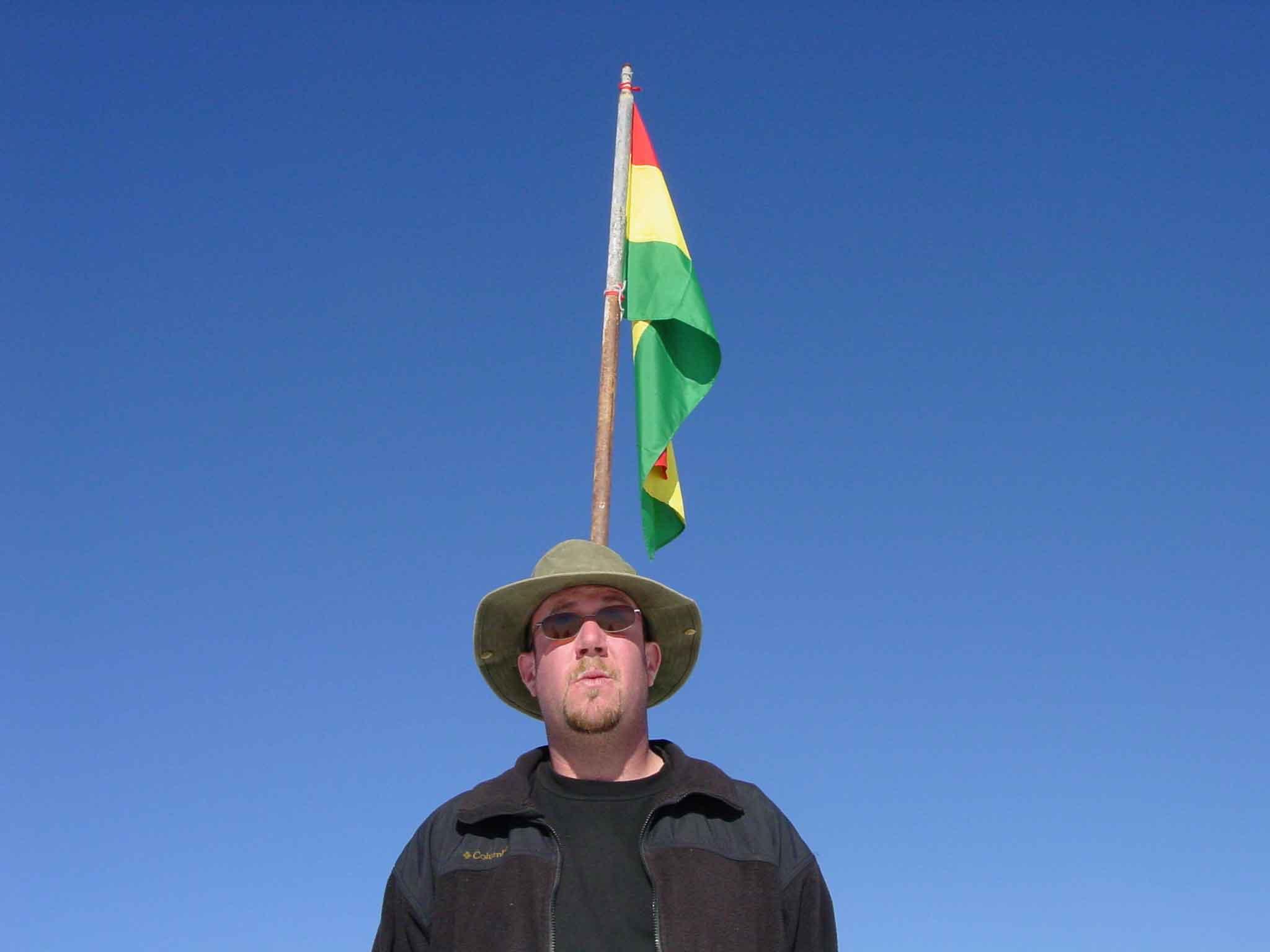
The border between Bolivia and Chile looks easy to cross, there are however landmines, so careful. Also they like impaling foreigners with their national flag.
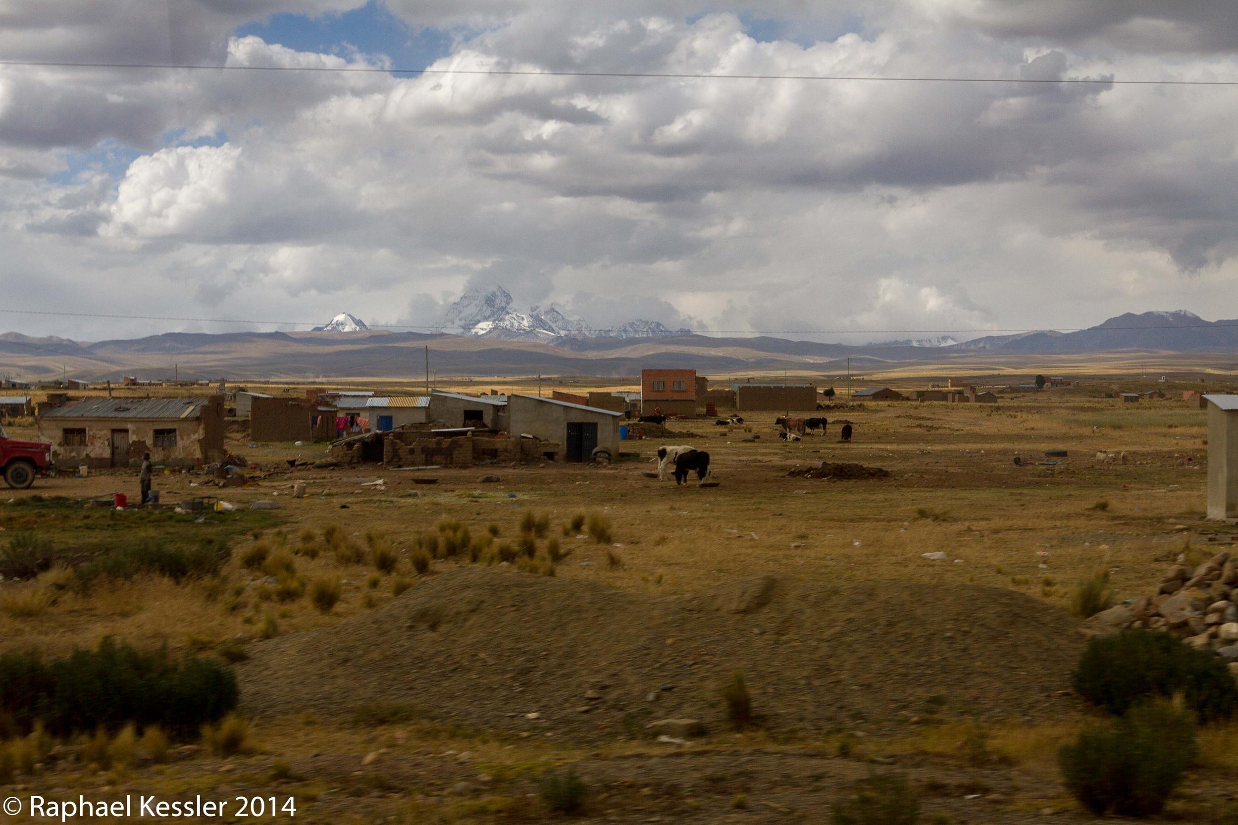
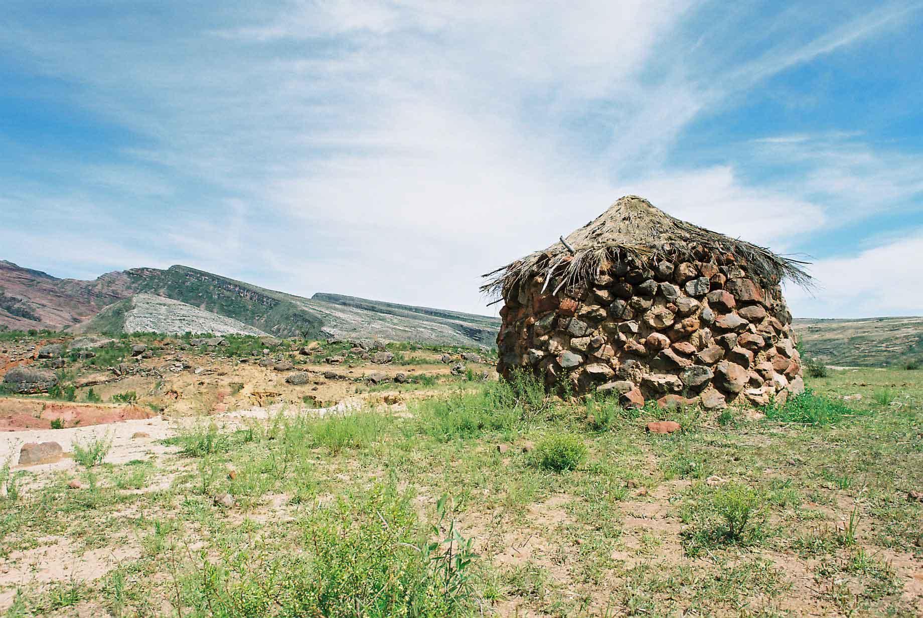
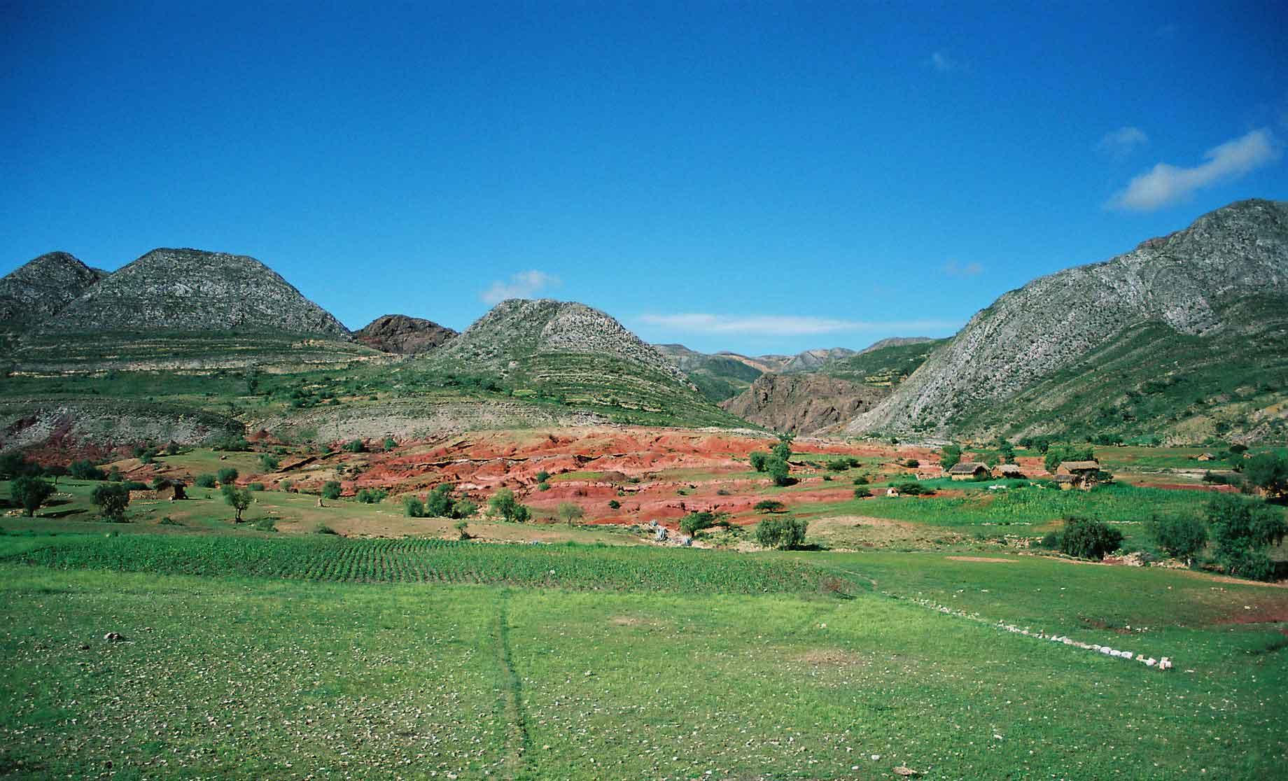
Near to the Argentine border is the town of Tupiza. There is some truly beautiful scenery in the area.